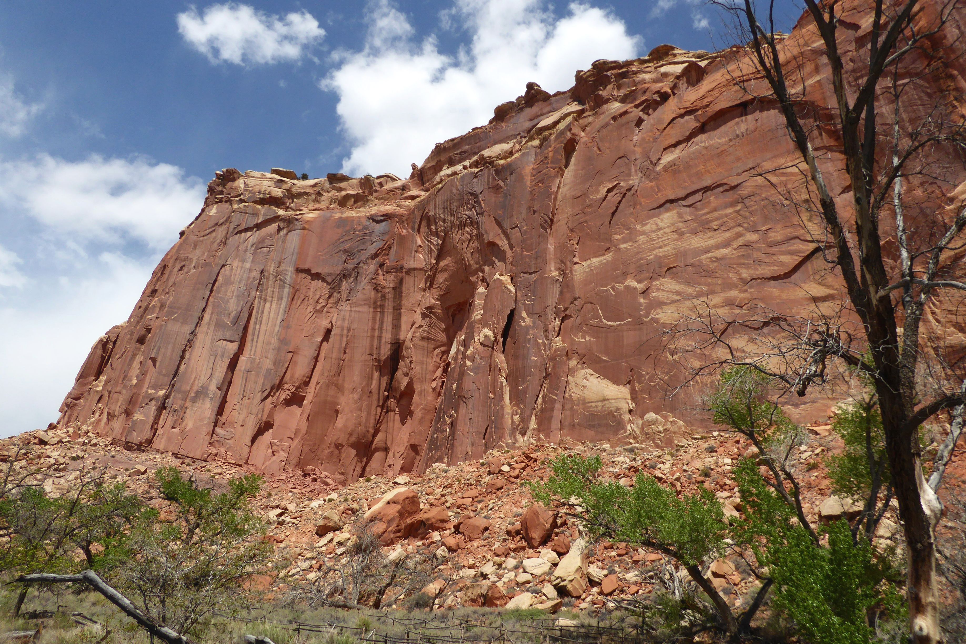
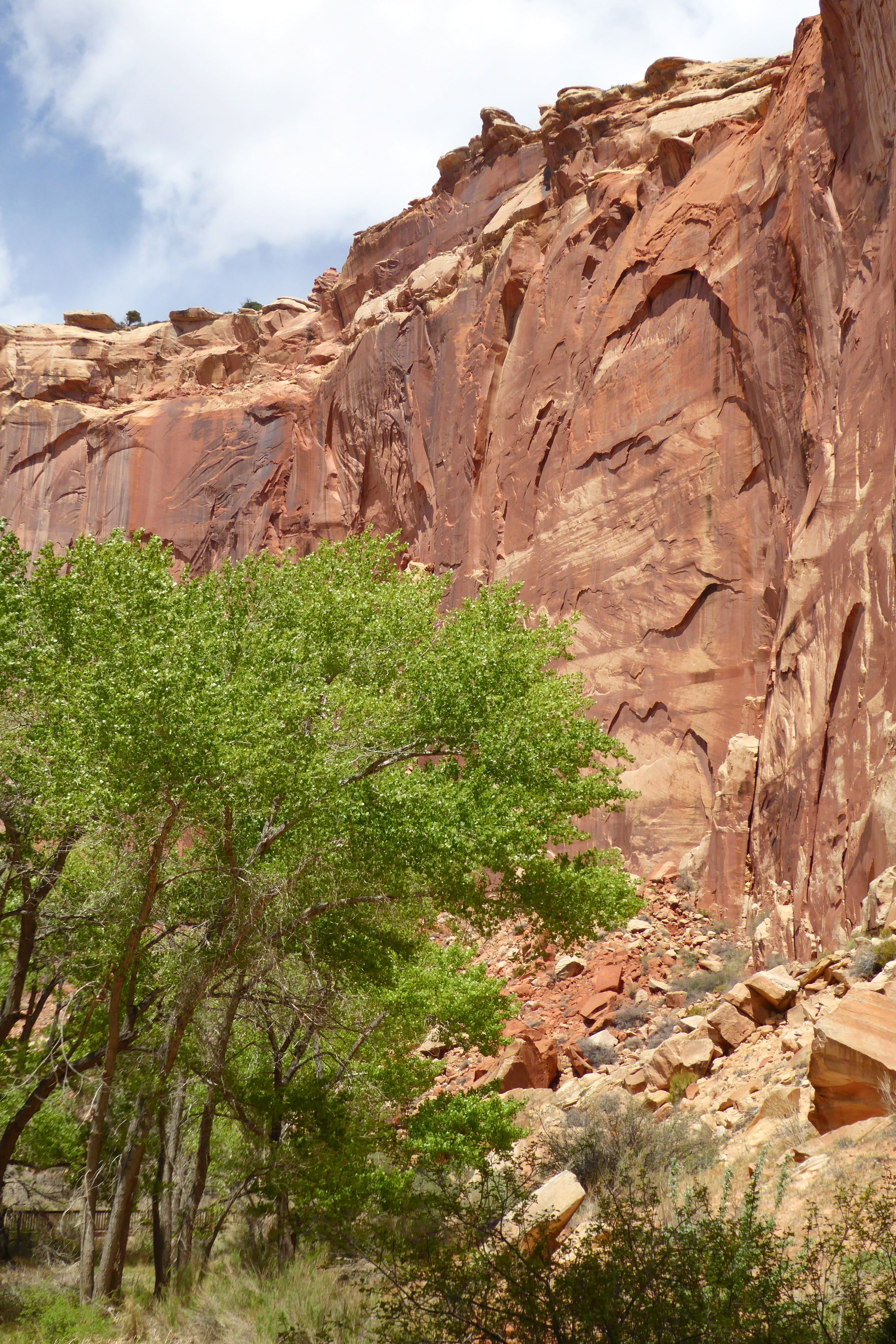
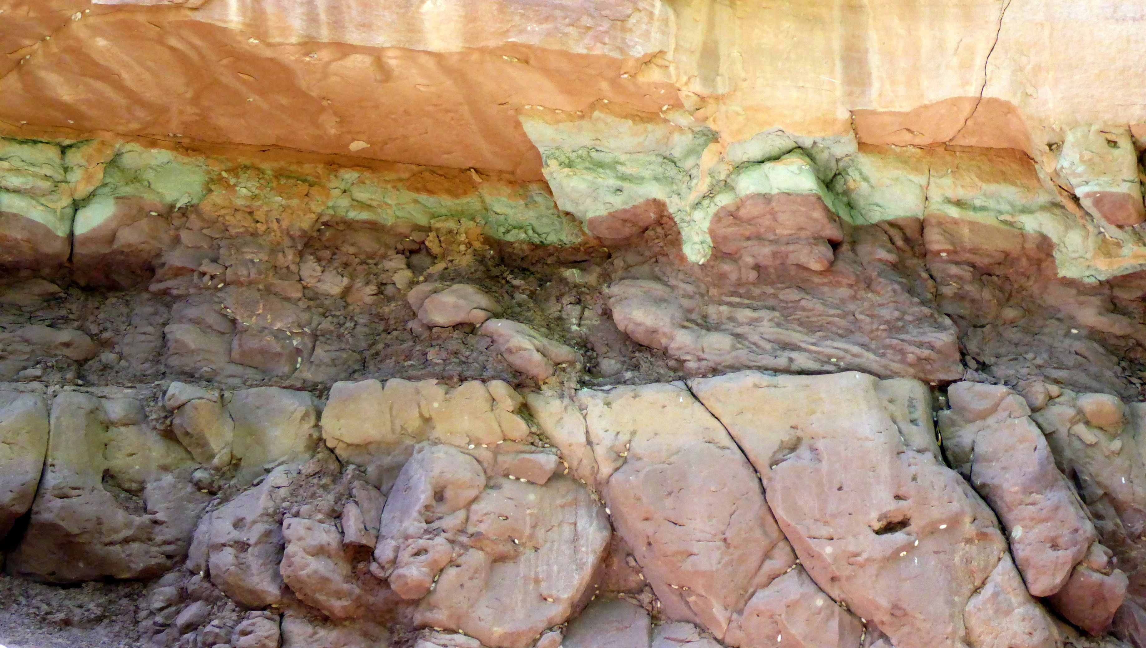
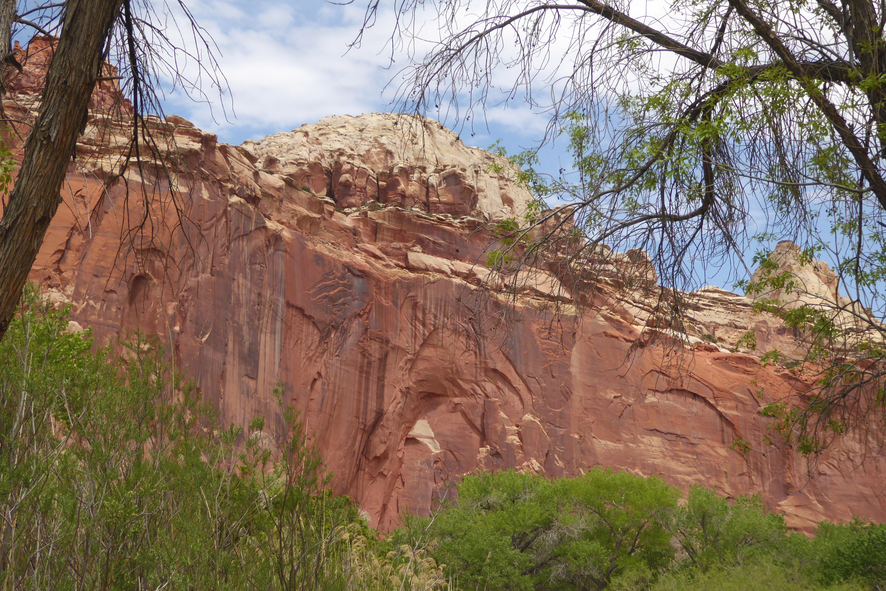
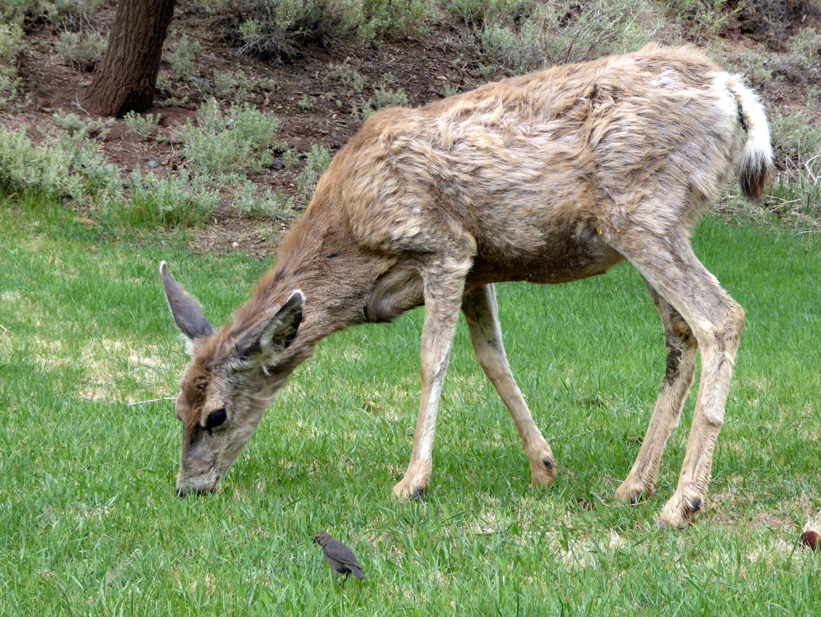
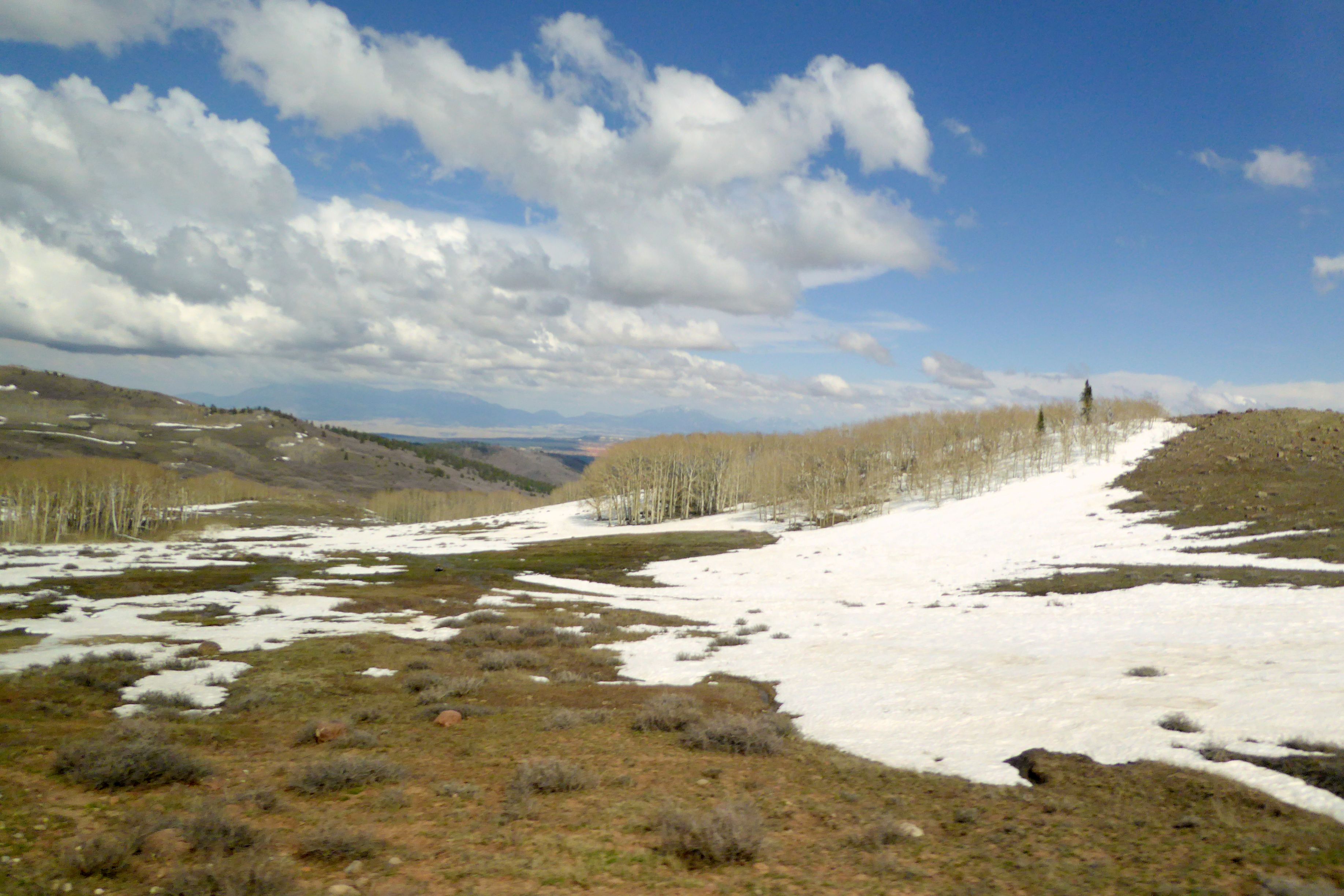
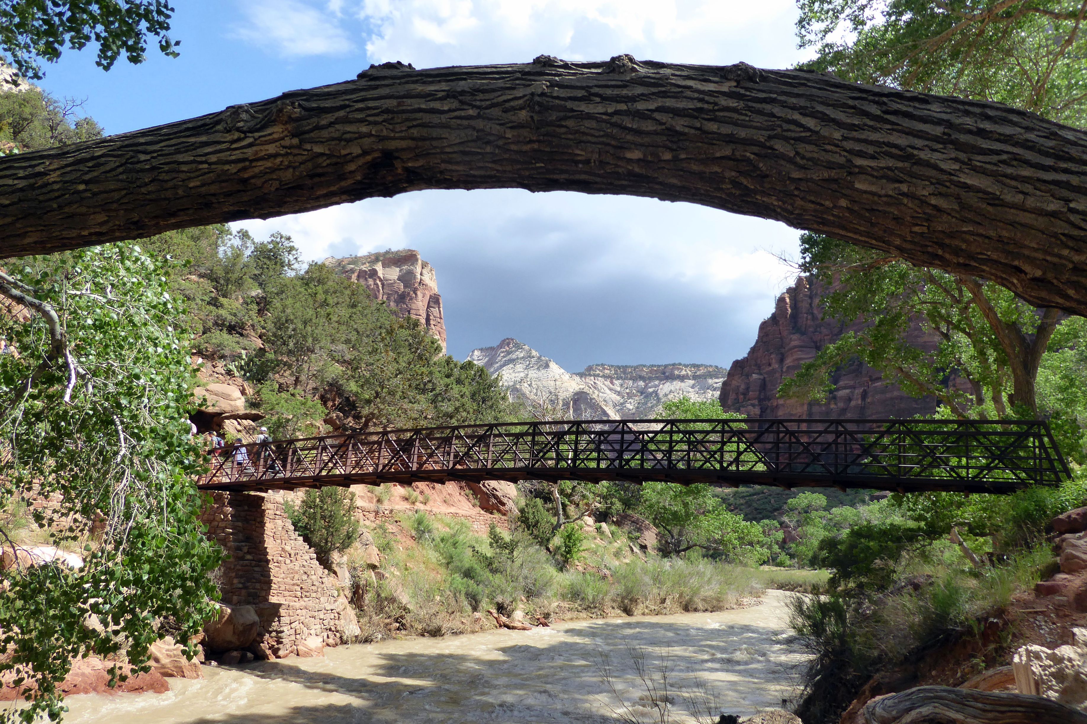
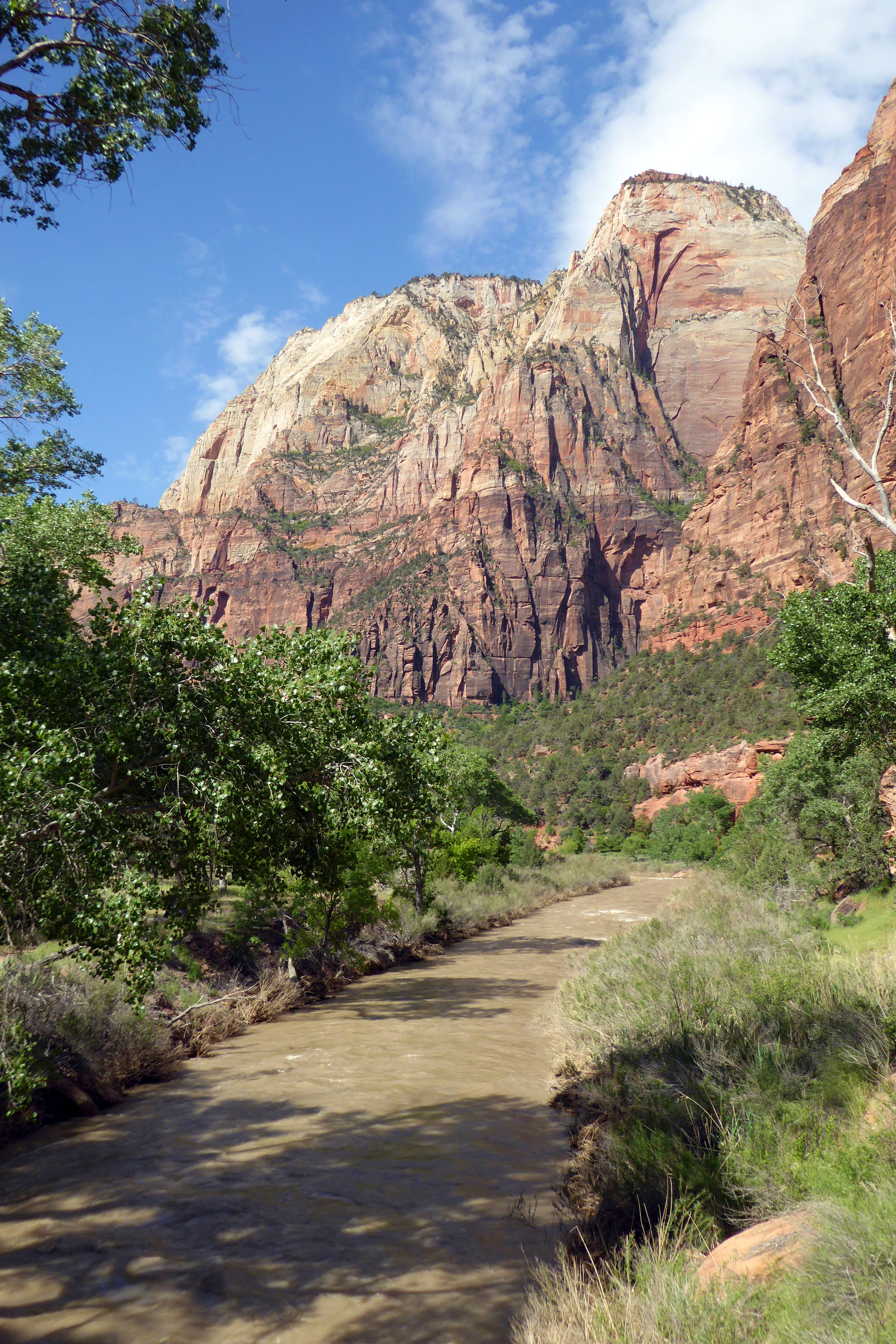
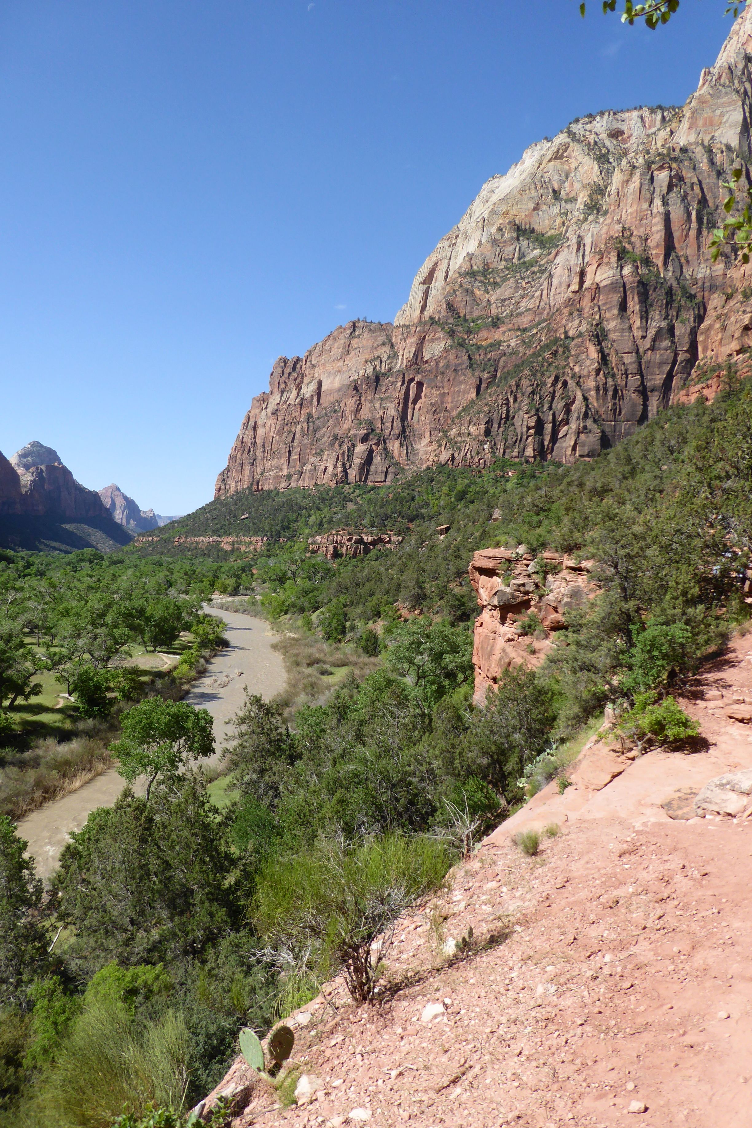
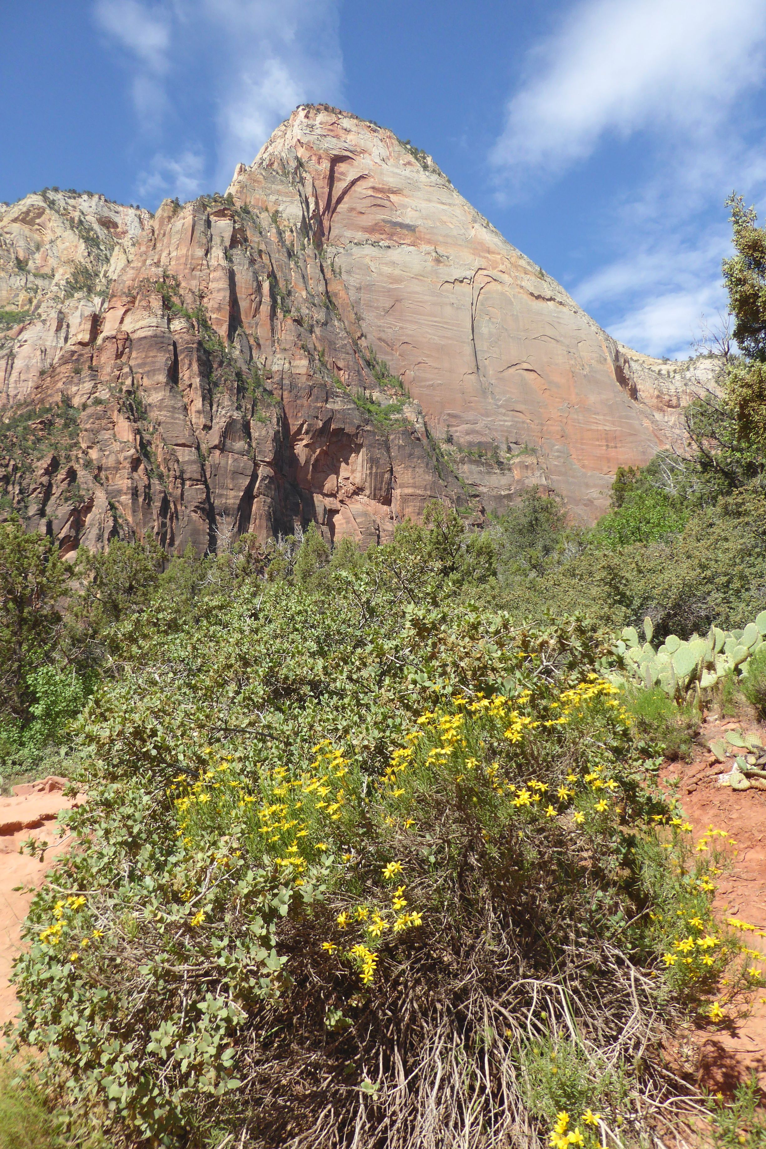
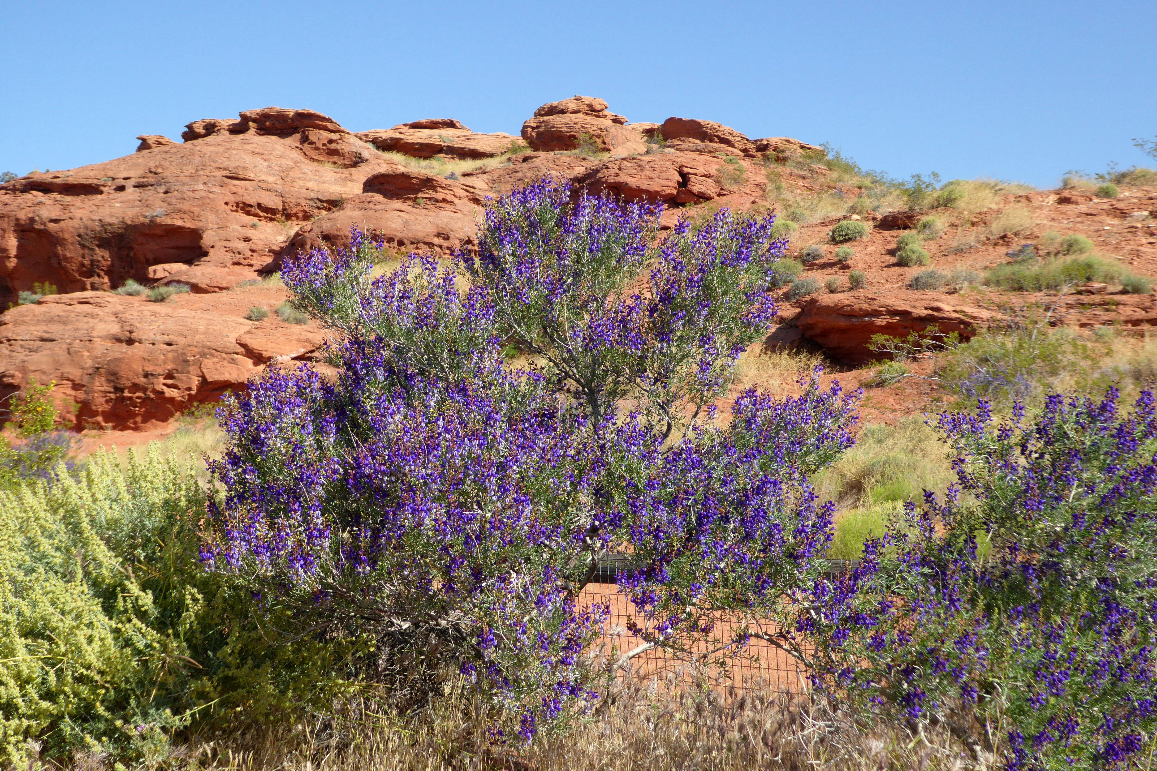
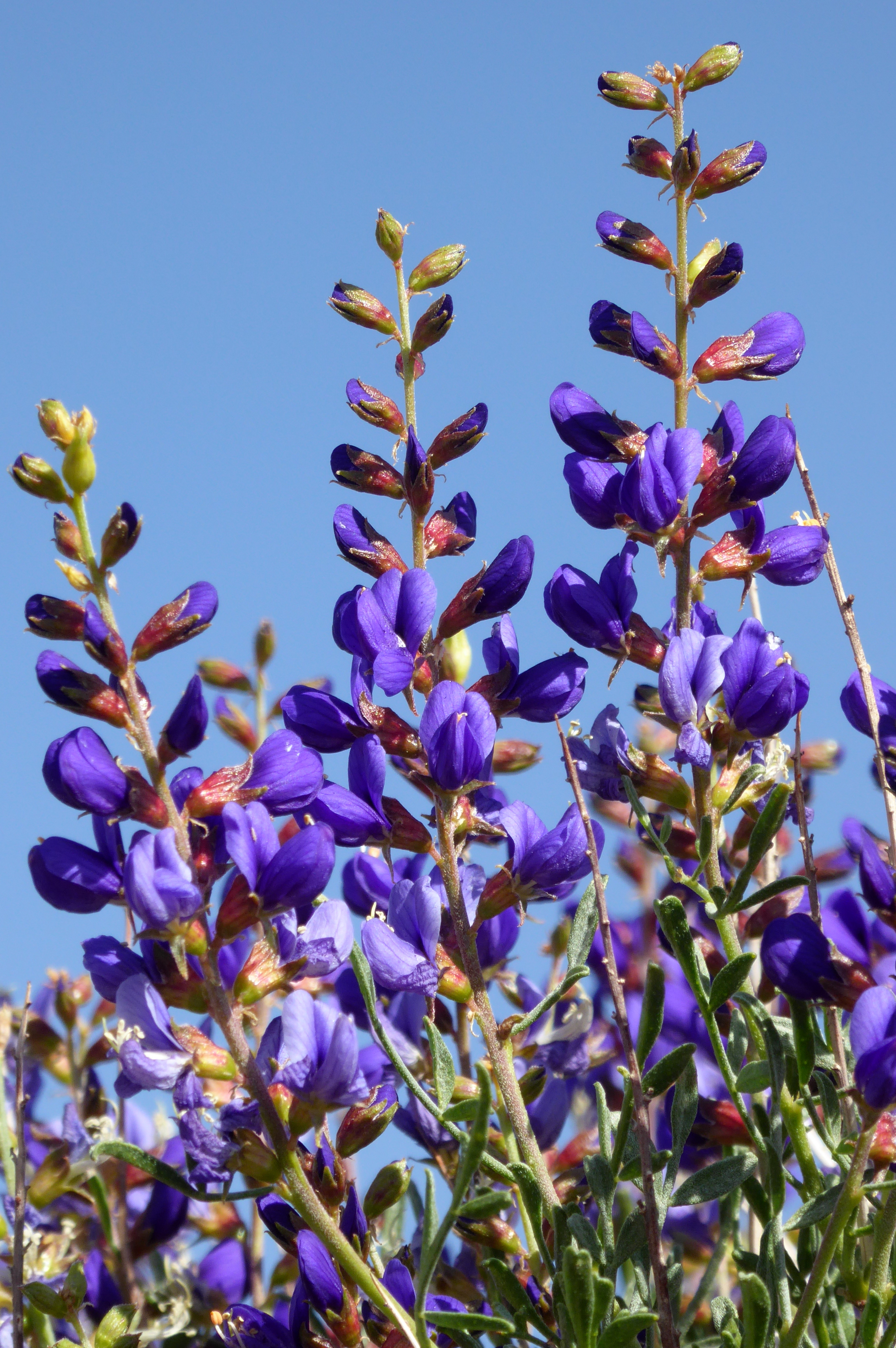
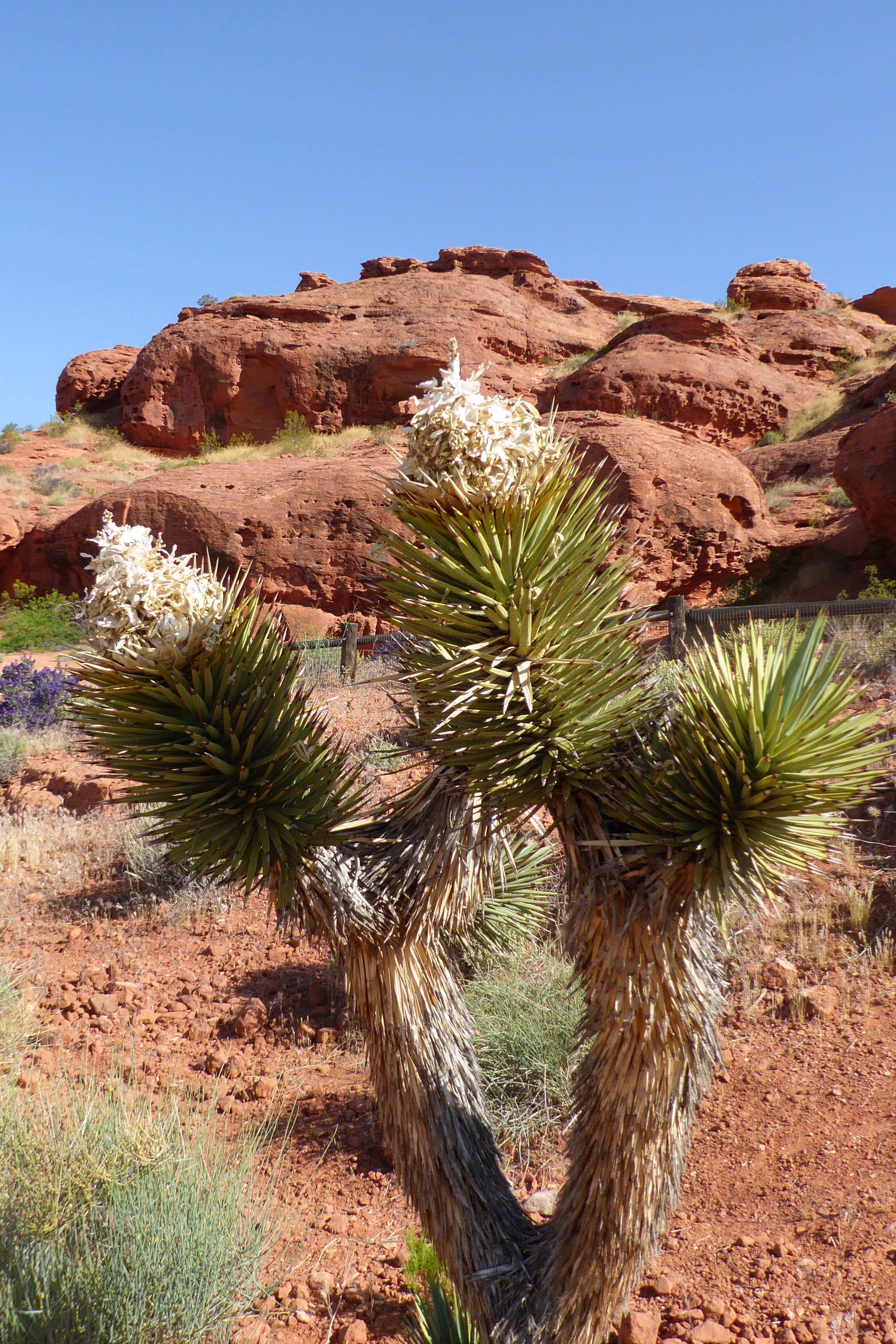
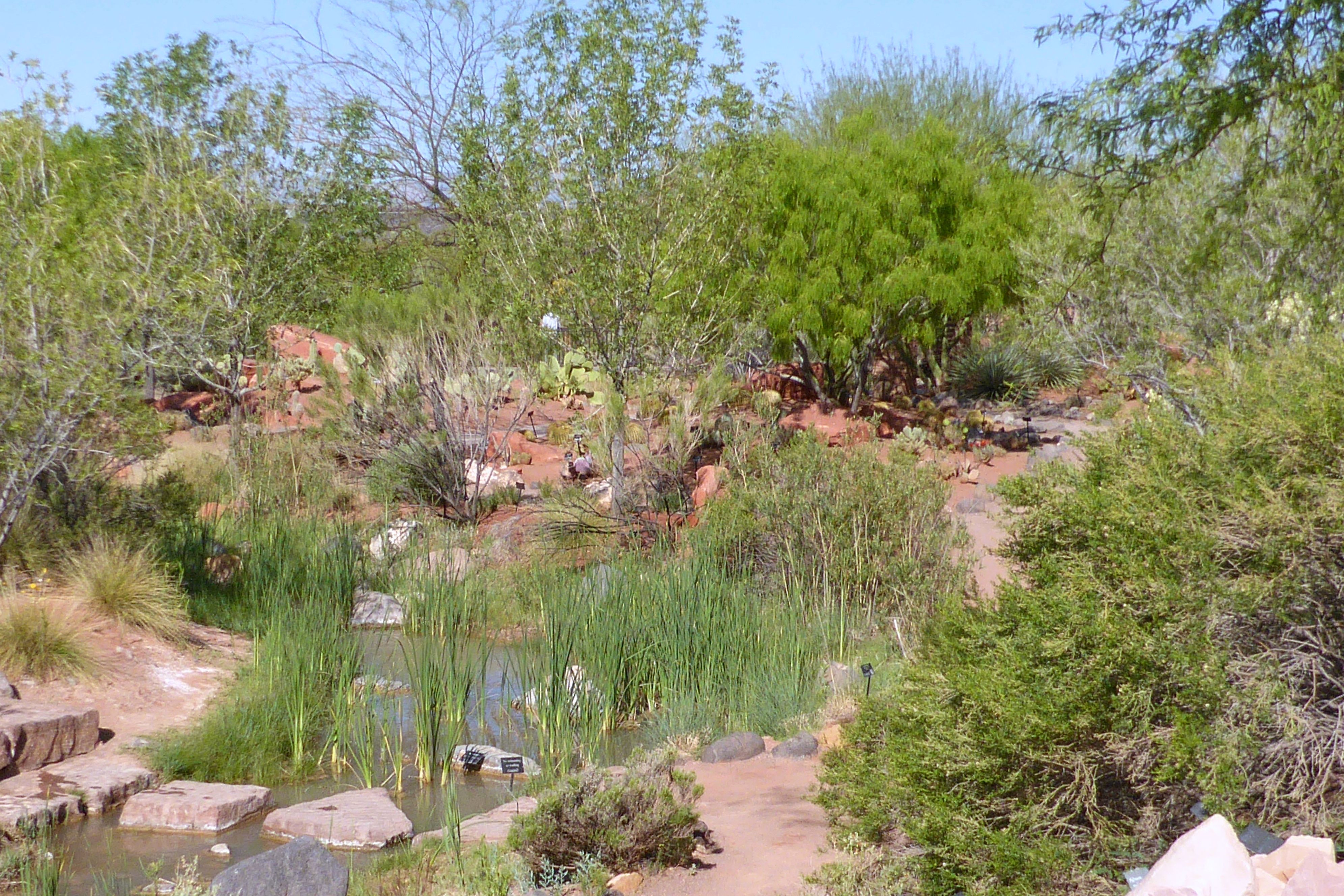
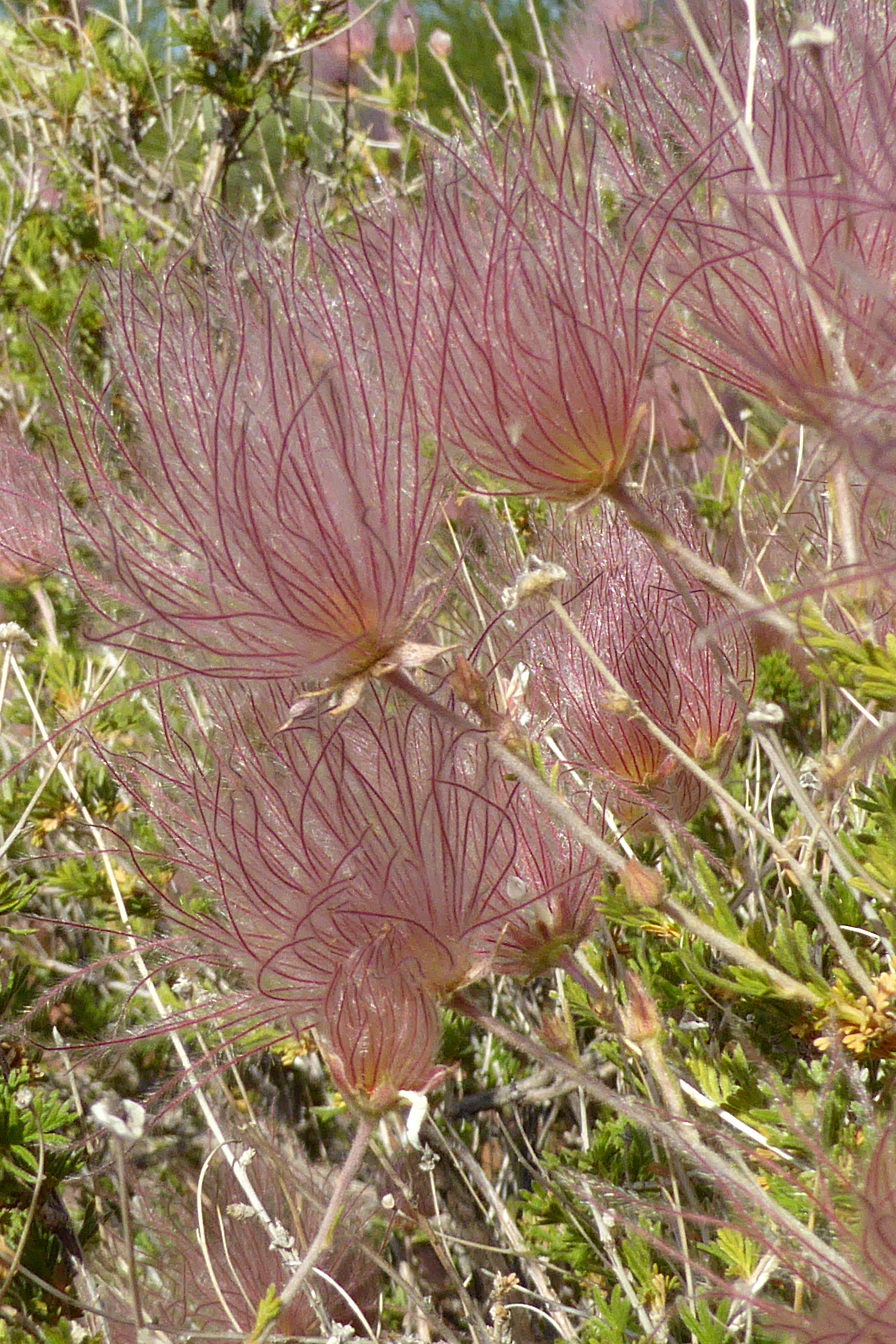
Following a morning greeting (and feeding) to my new friend in back of our hotel, we were off for an easy hike in Grand Wash at Capitol Reef National Park. The gorge cuts through Waterpocket Fold, a nearly 100-mile-long fold in the Earth’s surface. This uplift contains numerous eroded basins or pockets that hold rainwater and snowmelt.
Early pioneers provided the park’s namesake — “capitol” for the white domes of Navajo Sandstone that resemble the capitol dome in Washington, D.C., and “reef” for the rocky cliffs that are a barrier to travel, like an ocean reef.
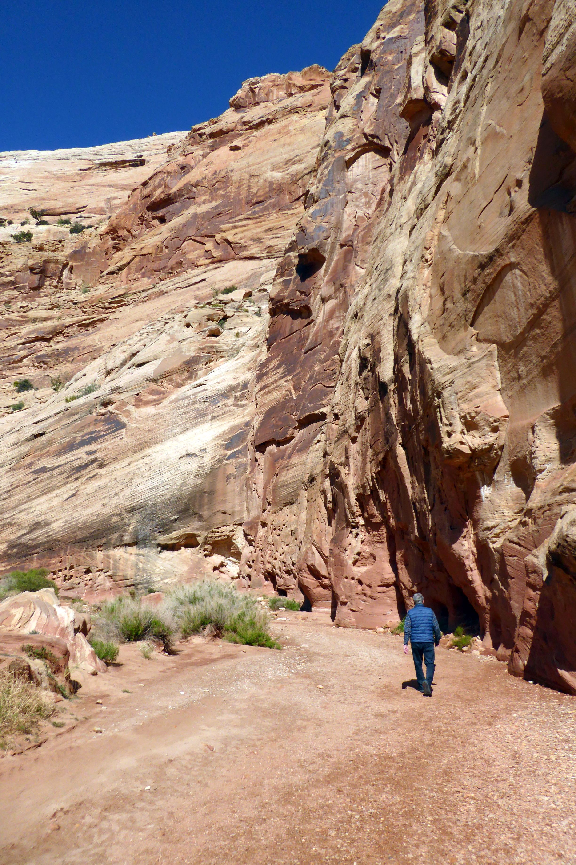
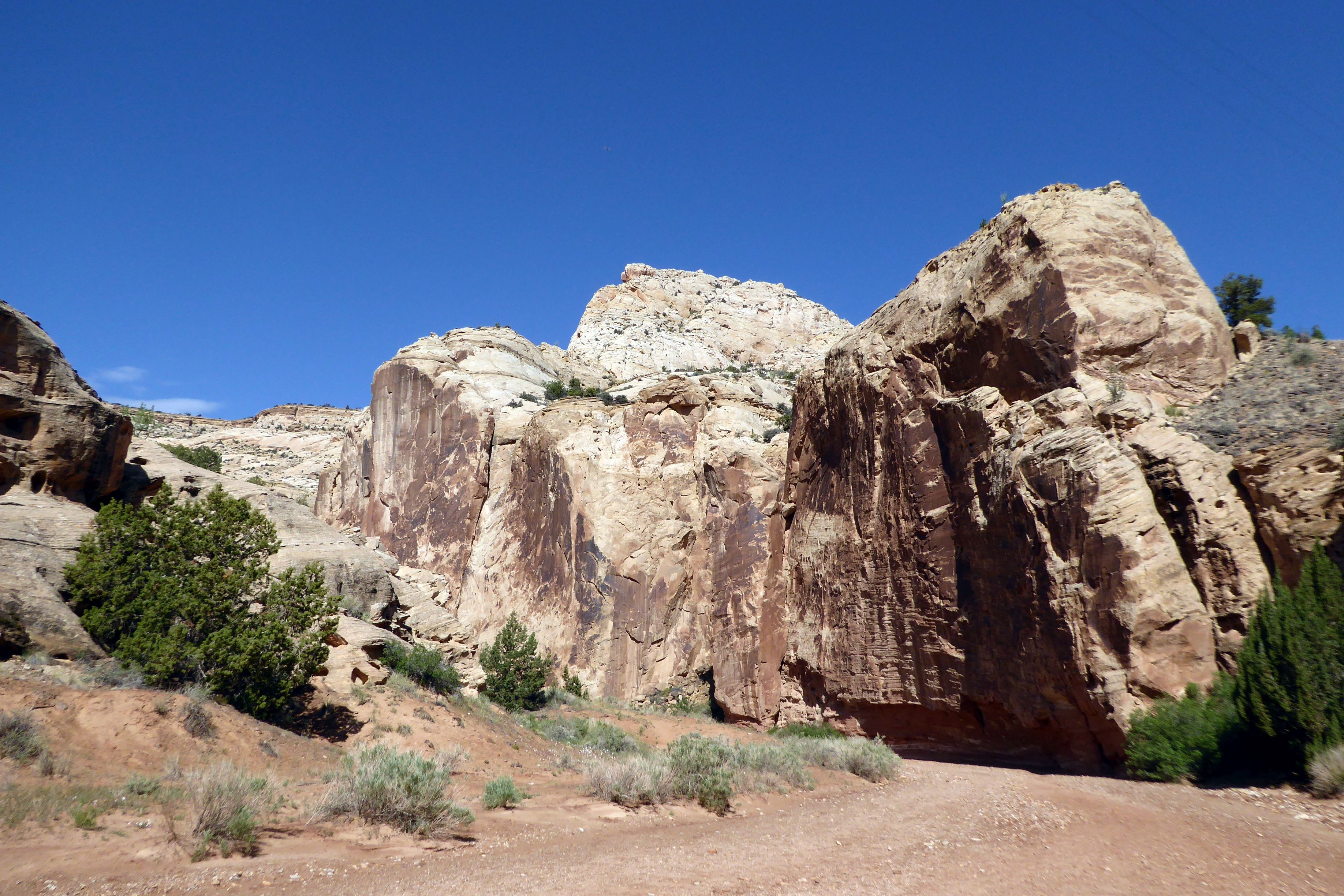
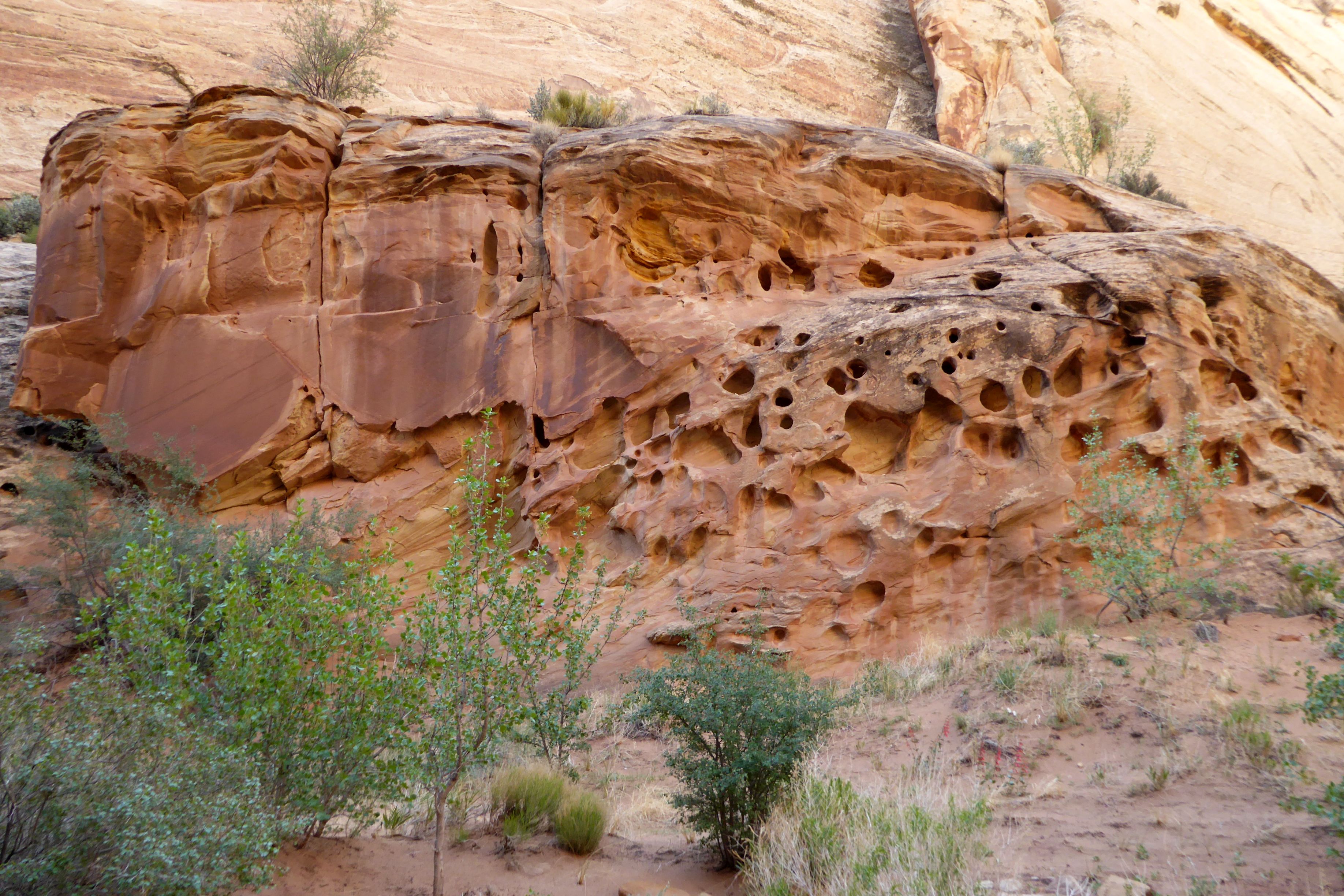
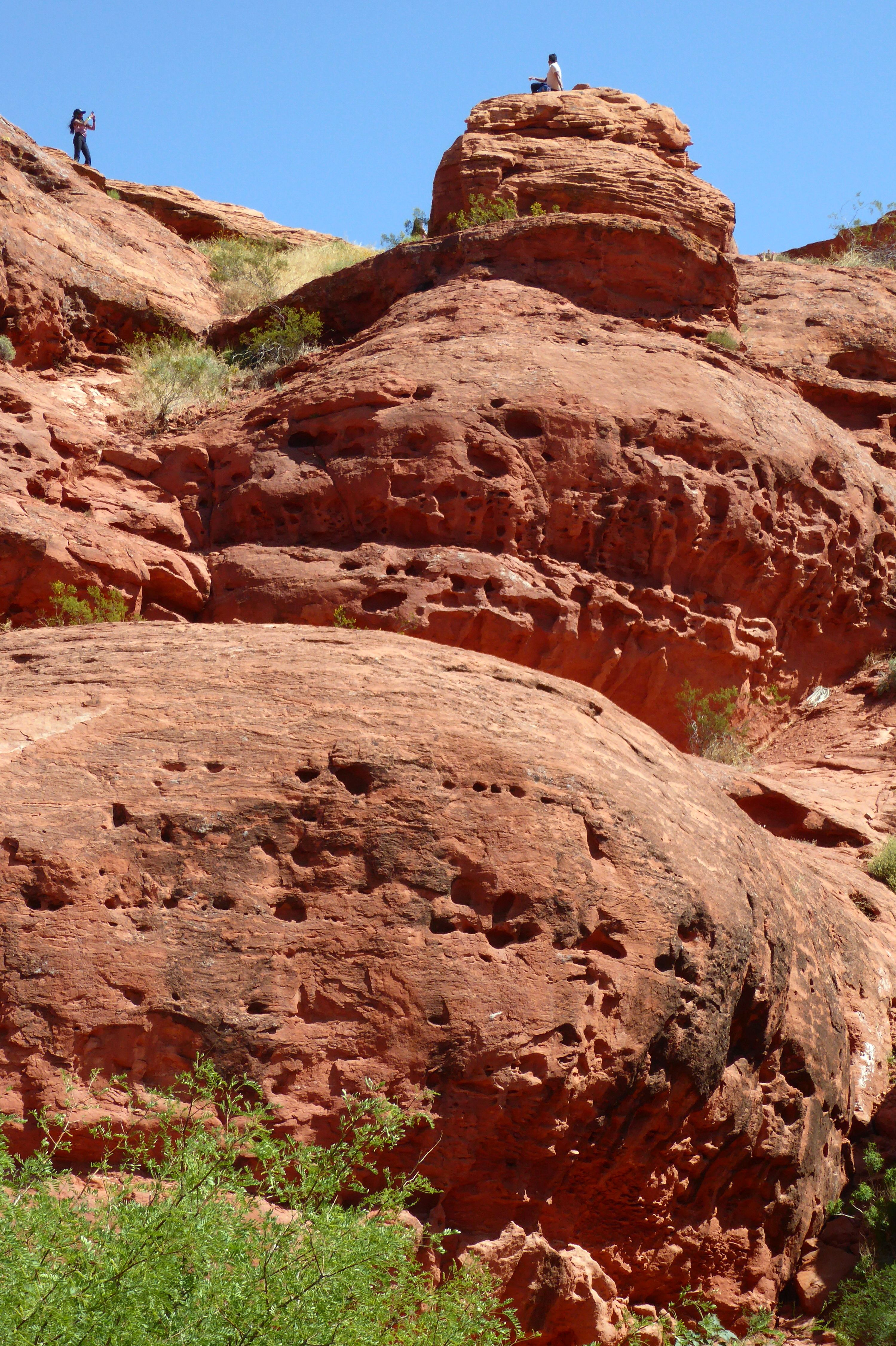
We hiked through the Grand Wash Narrows portion, where we were surrounded by massive rock formations. The only way to grasp the size was to give it some sense of scale. Thanks, Bruce!
(For all pictures, click on the image to see full screen view.)
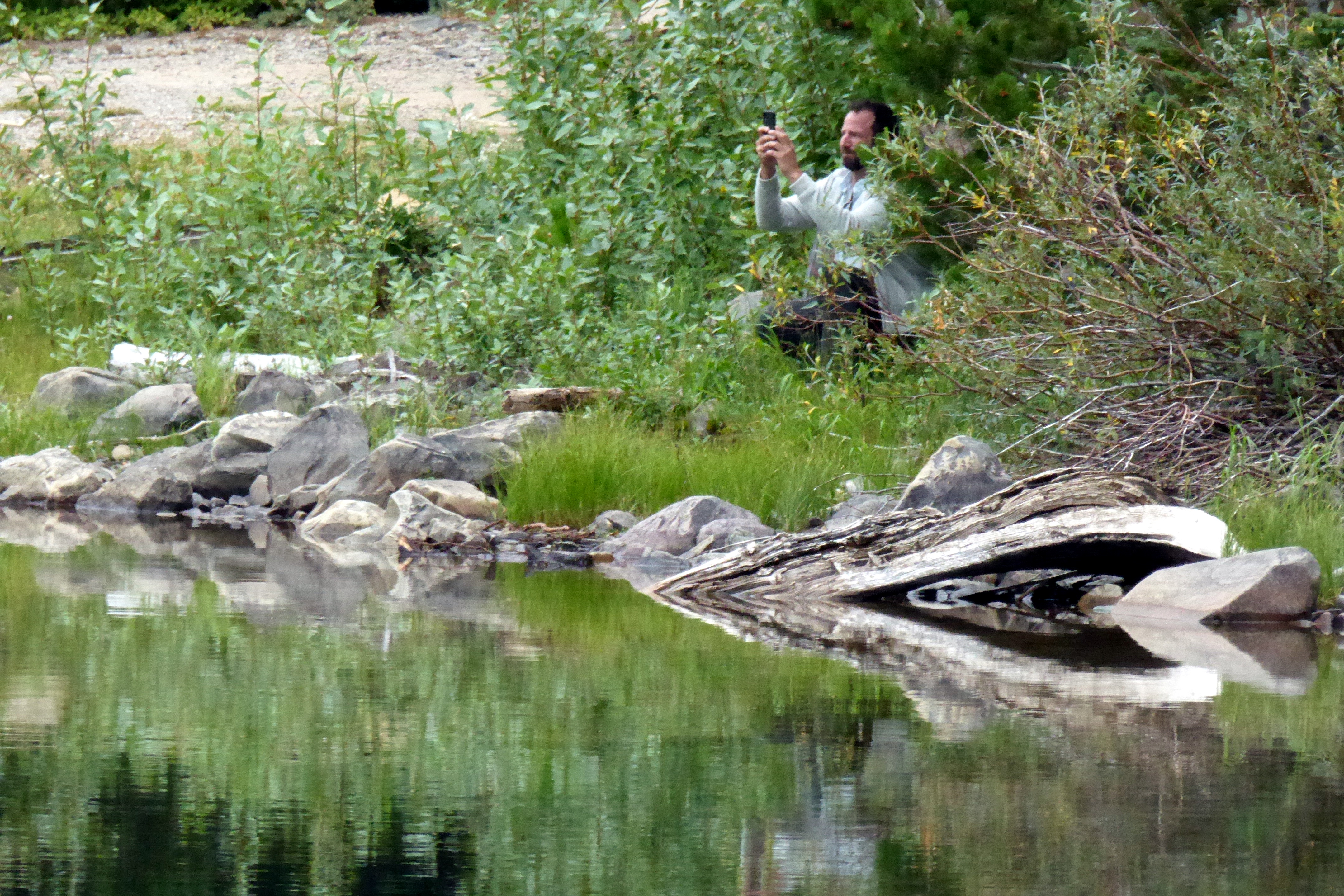
That’s Bruce, way off in the distance.
Since Bruce and I were the fastest walkers in the group, we were able to get far ahead, which, because of time constraints, was to our advantage. We really wanted to see the Narrows portion of the basin, and some of our group didn’t make it that far before having to turn back. Most of the time, we were by ourselves, taking in the beauty of the colors and textures all around us. It was such a peaceful and beautiful walk.
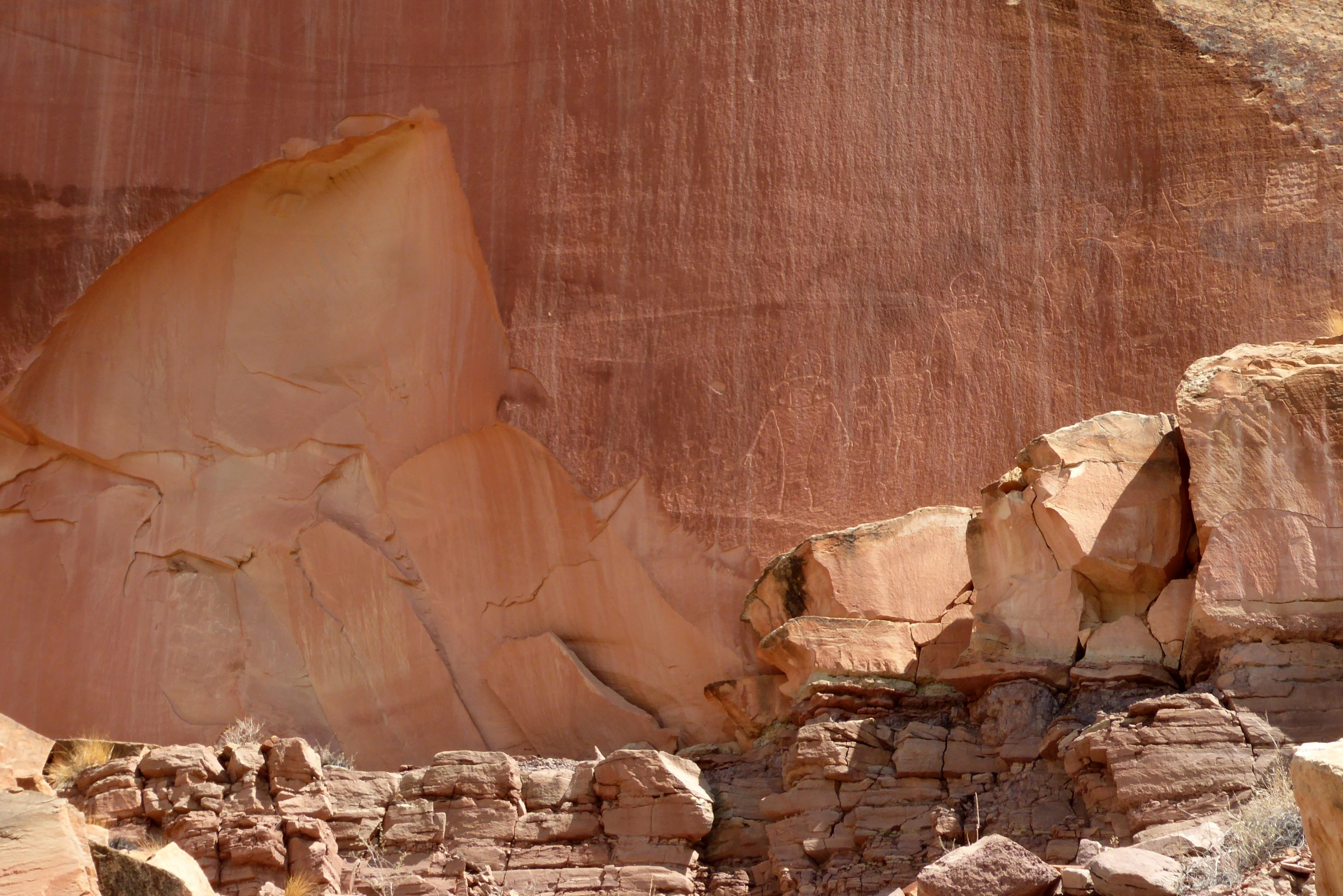
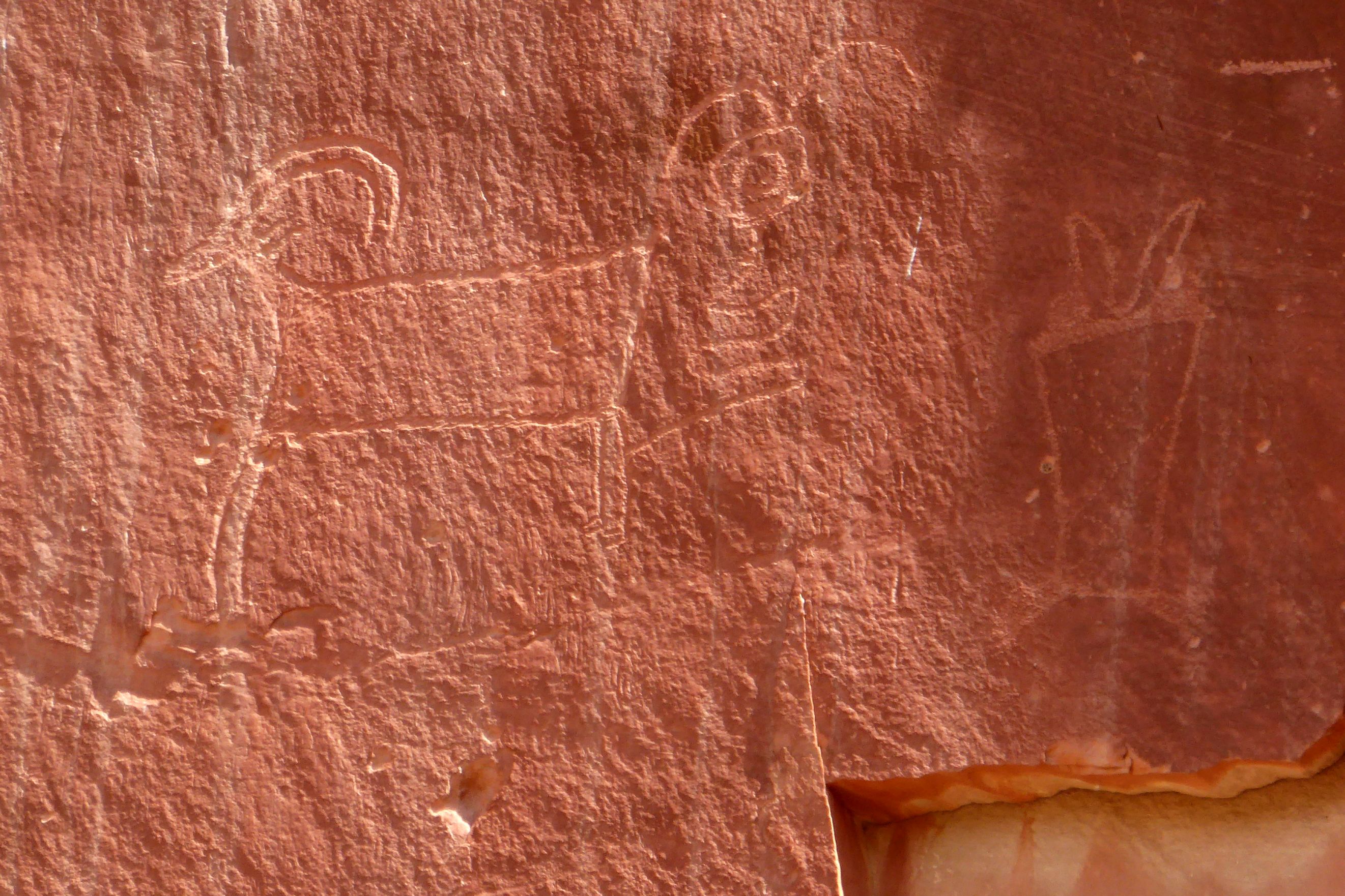
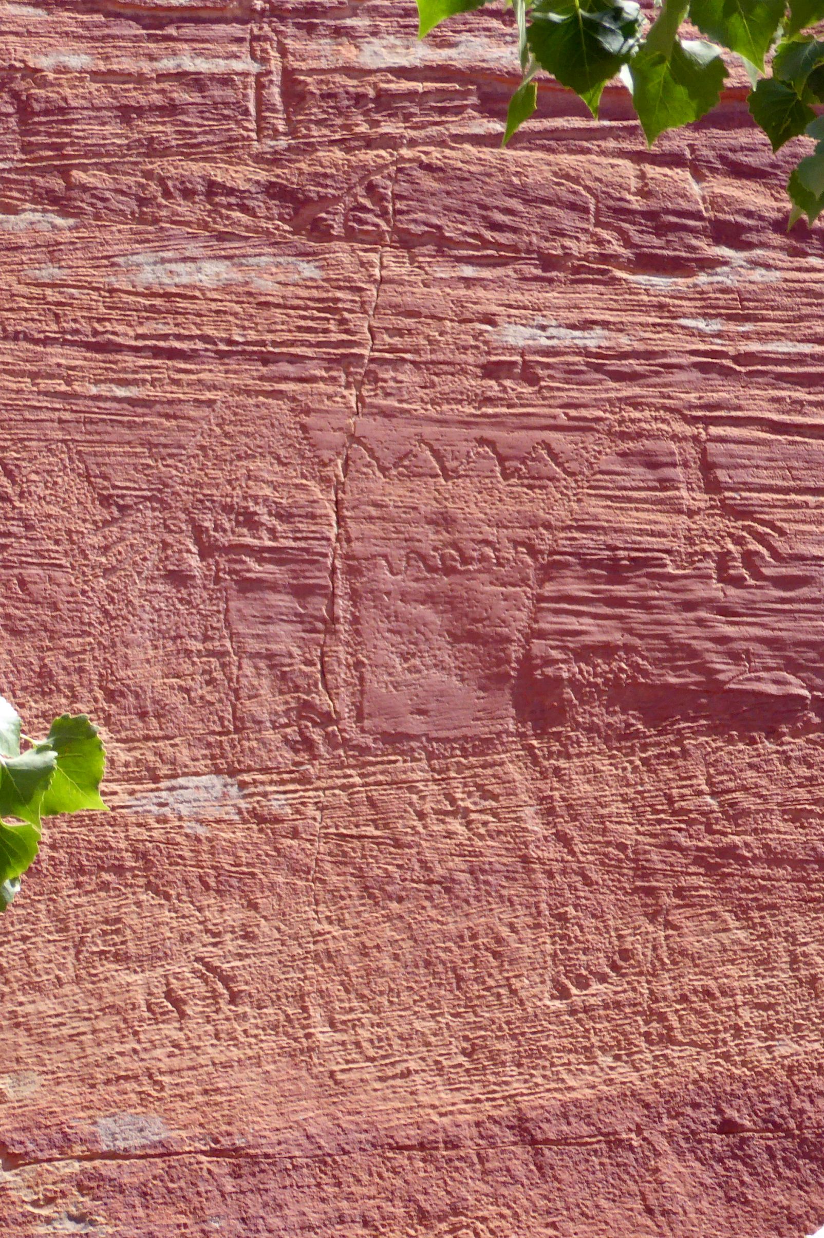
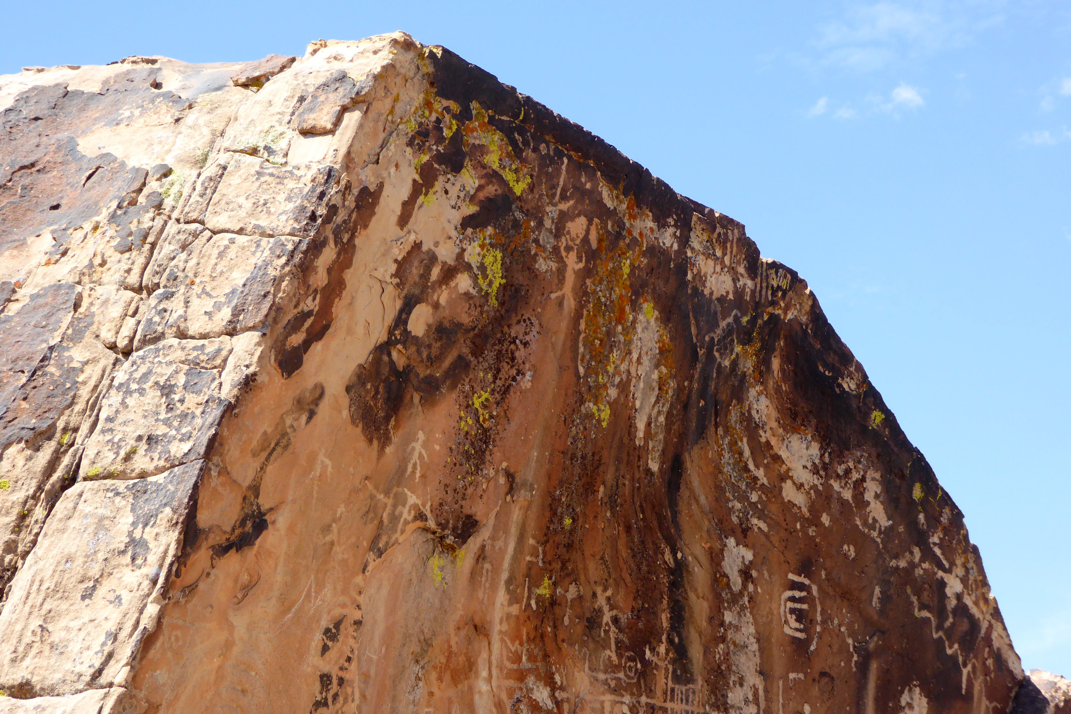
We also visited Petroglyph Panel to view ancient rock art attributed to the Fremont Culture, which existed in this area of Utah from approximately 300-1300 C.E. (Common Era).
There are petroglyphs of human figures in a diagonal, above the jagged rocks, going up towards the right corner of the photo.
We had lunch in the park near the Capitol Reef Visitors Center, and I went for a walk afterward.
Fortunately, the blue skies stayed with us until we were on the bus heading back. Our good weather luck was with us once again!
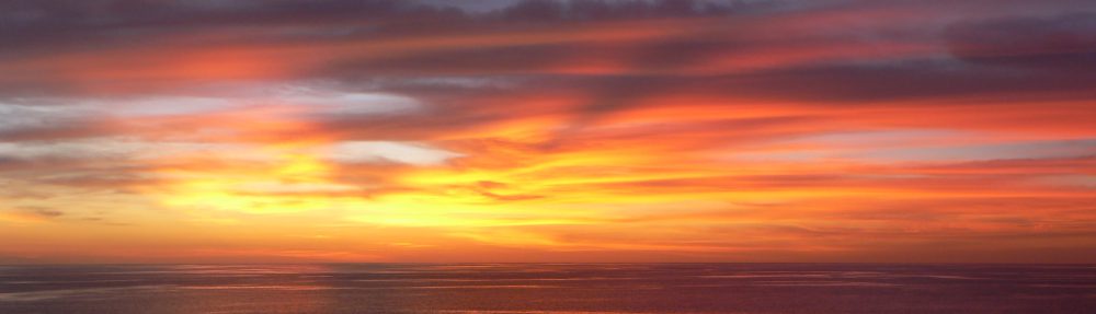
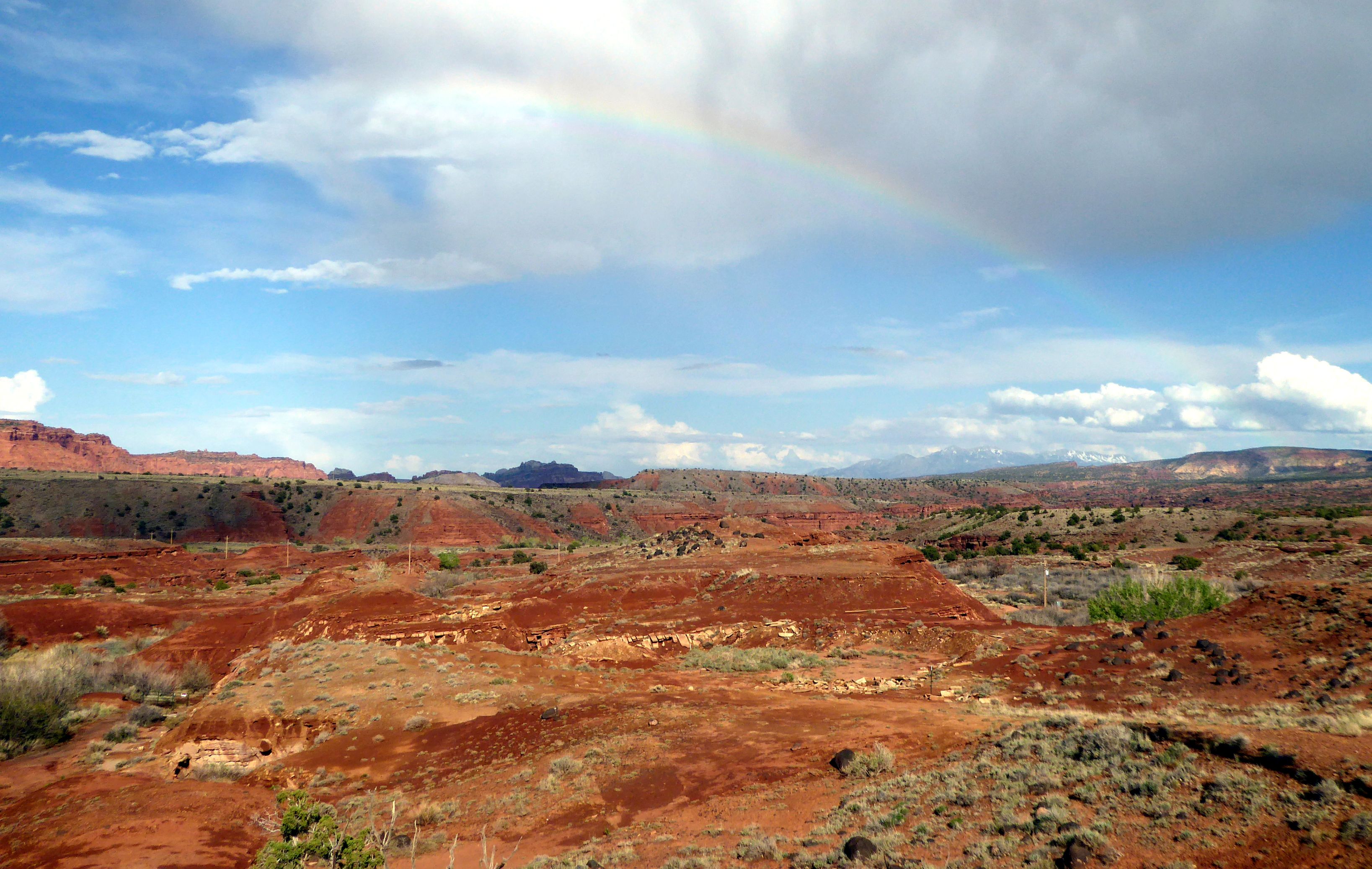
This was shot from the bus window on the way back to Torrey.A beautiful rainbow to end a beautiful day!
Coming up next: Delightful Dead Horse Point State Park & Colorful Canyonlands National Park
We were really looking forward to seeing Bryce Canyon National Park in person after seeing so many beautiful photos of its colorful and bizarre-looking rock formations called “hoodoos.” I can’t even type that word without immediately hearing Paul Simon’s, “Love Me Like a Rock” in my head (“Who-do, who-do you think you’re fooling?”). Bruce and I spontaneously broke out with that song when we saw hoodoos during our Canadian Rockies trip, and it happened again in Bryce. We just can’t help ourselves.
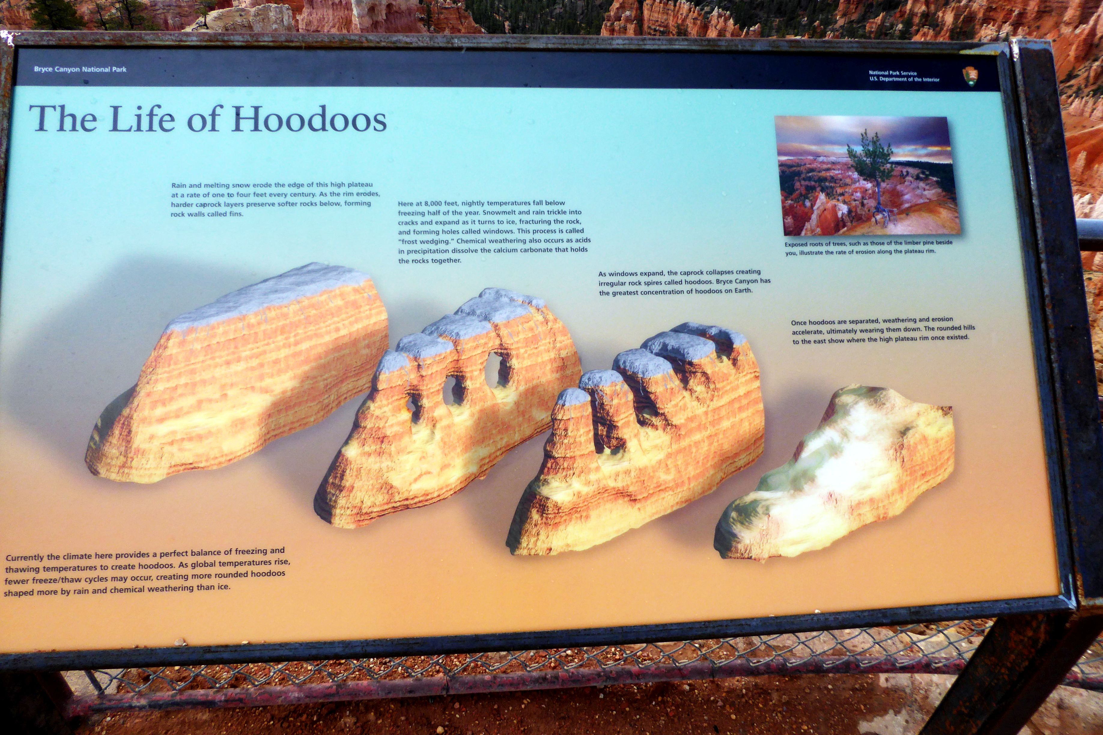
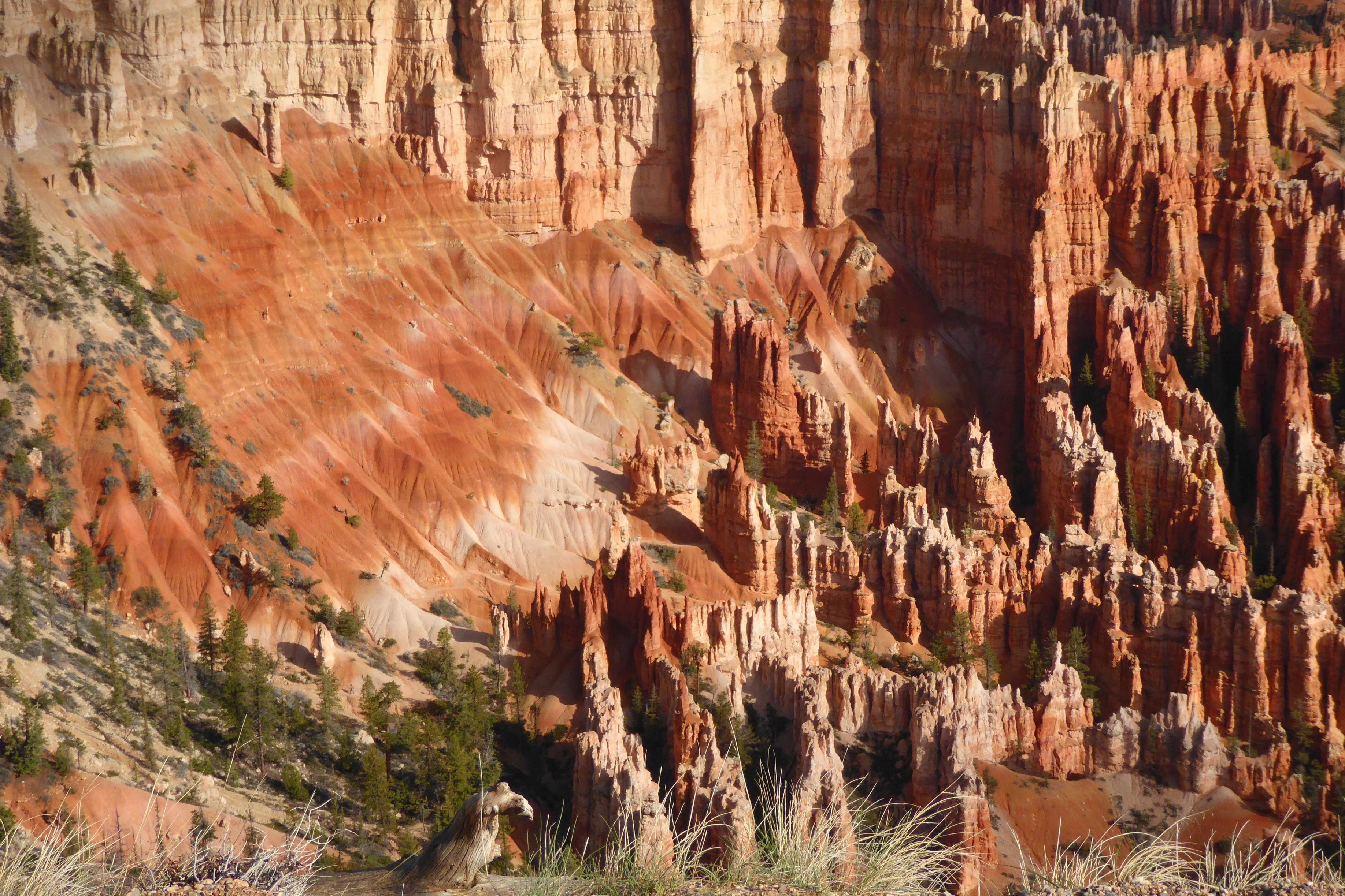
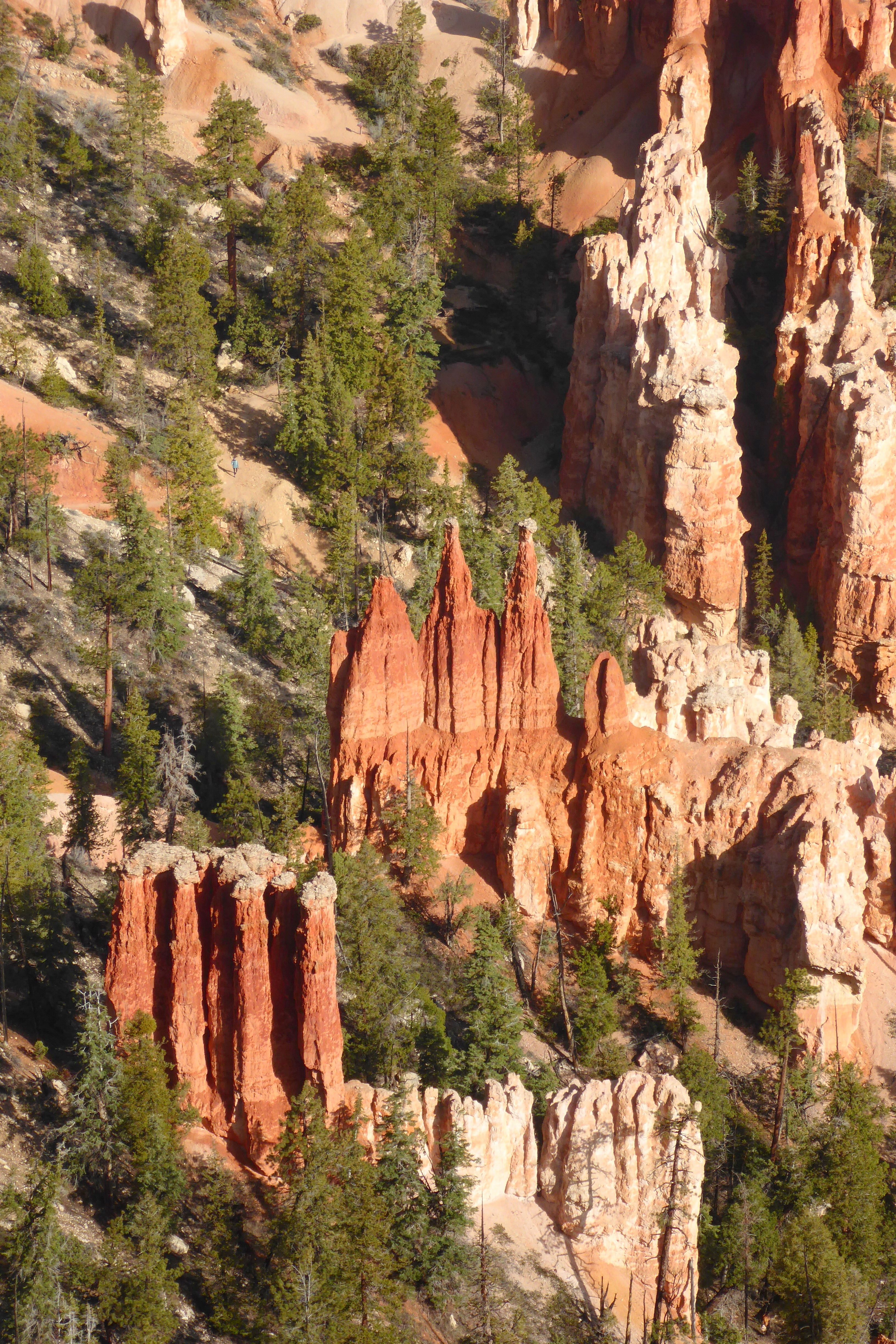
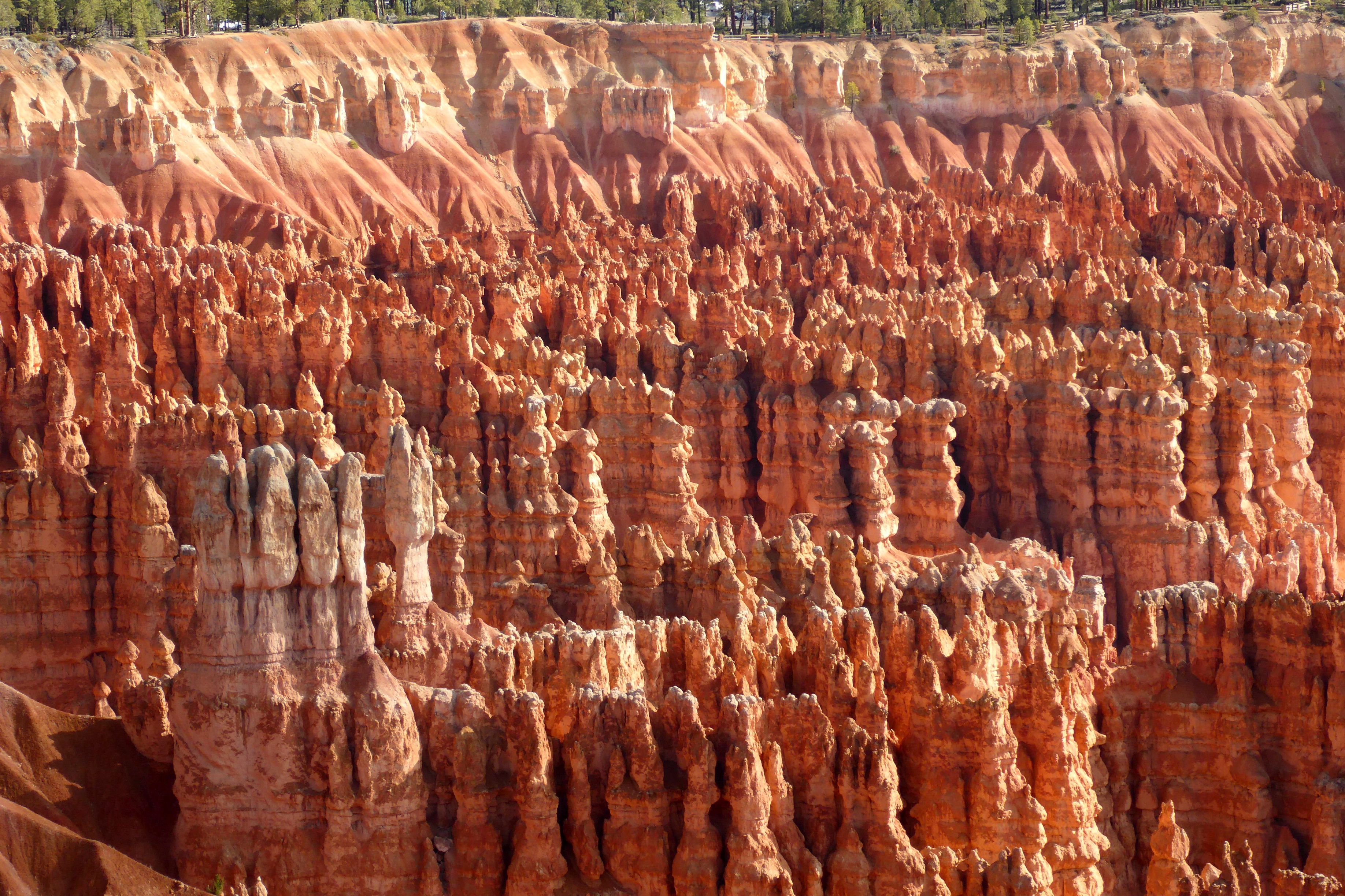
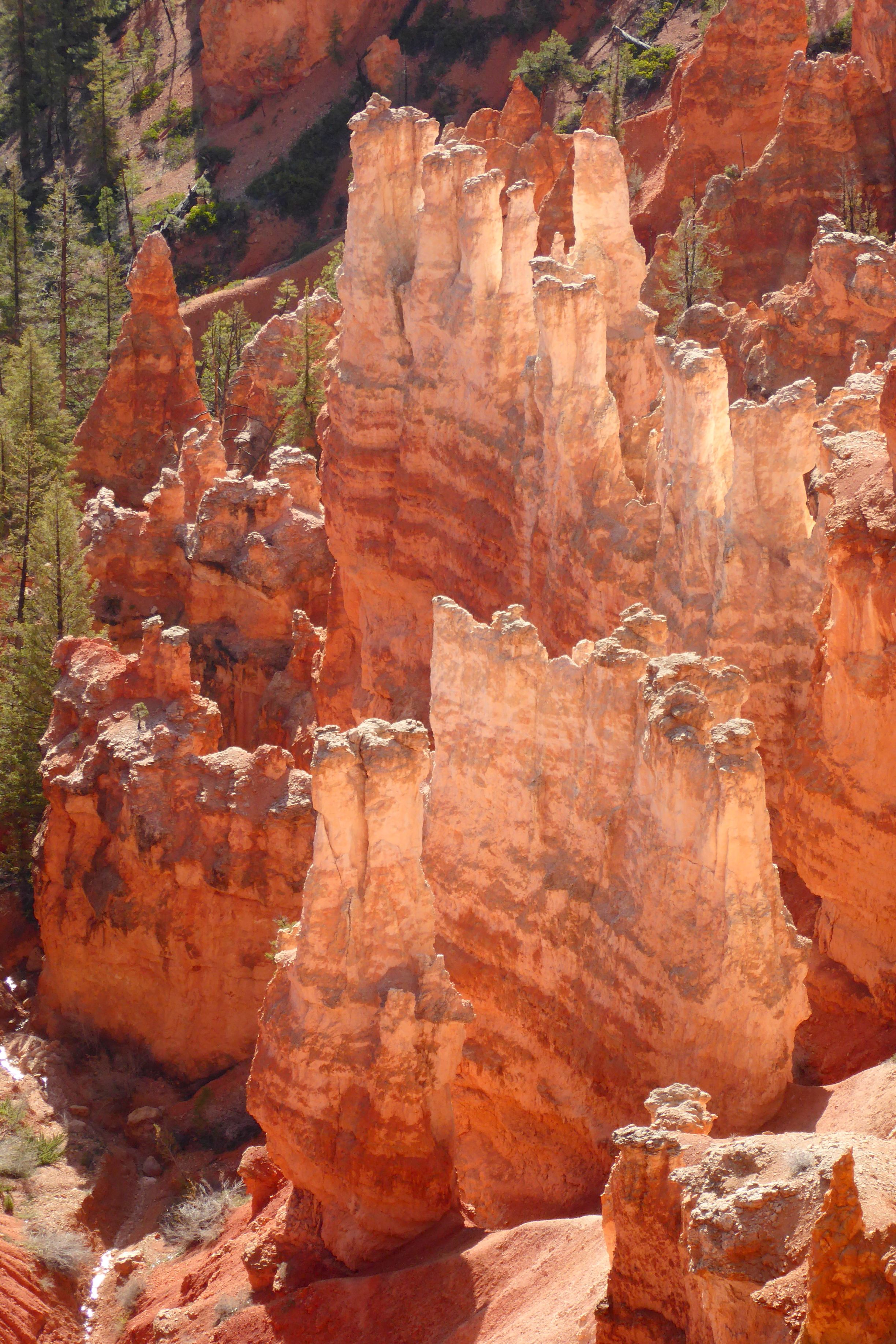
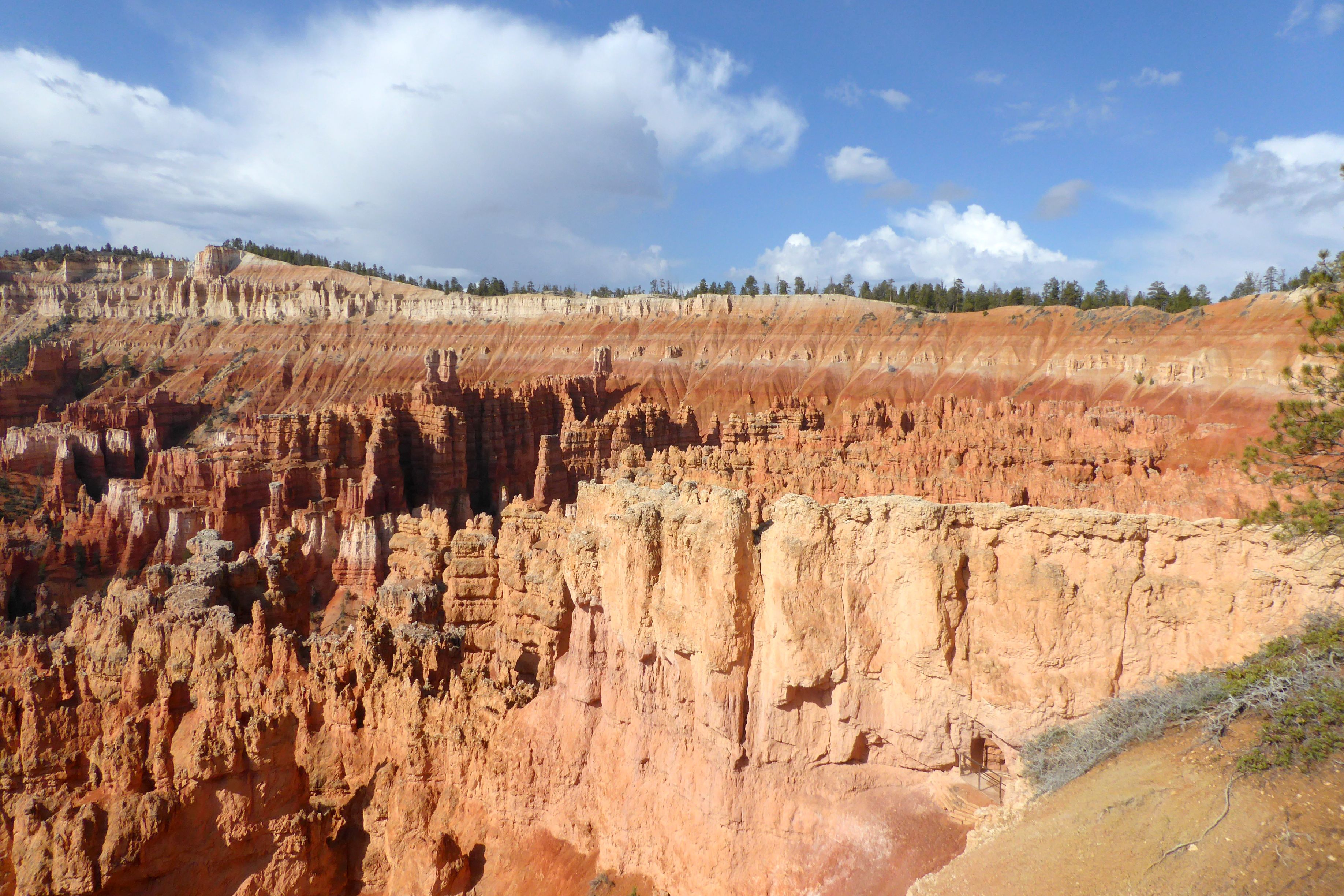
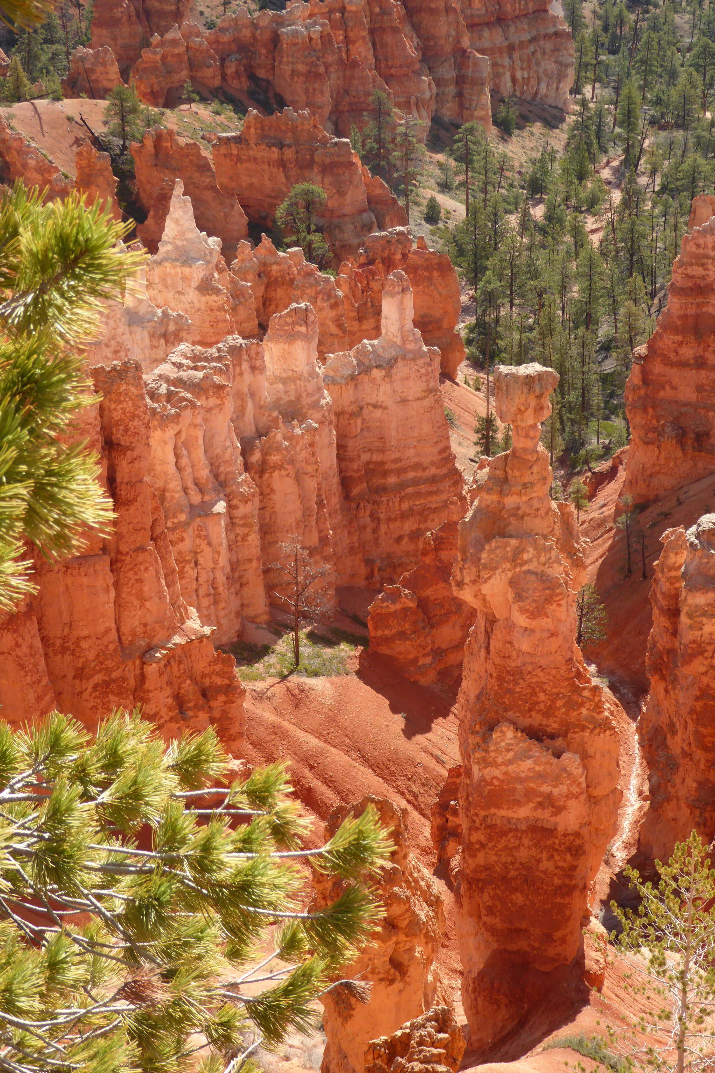
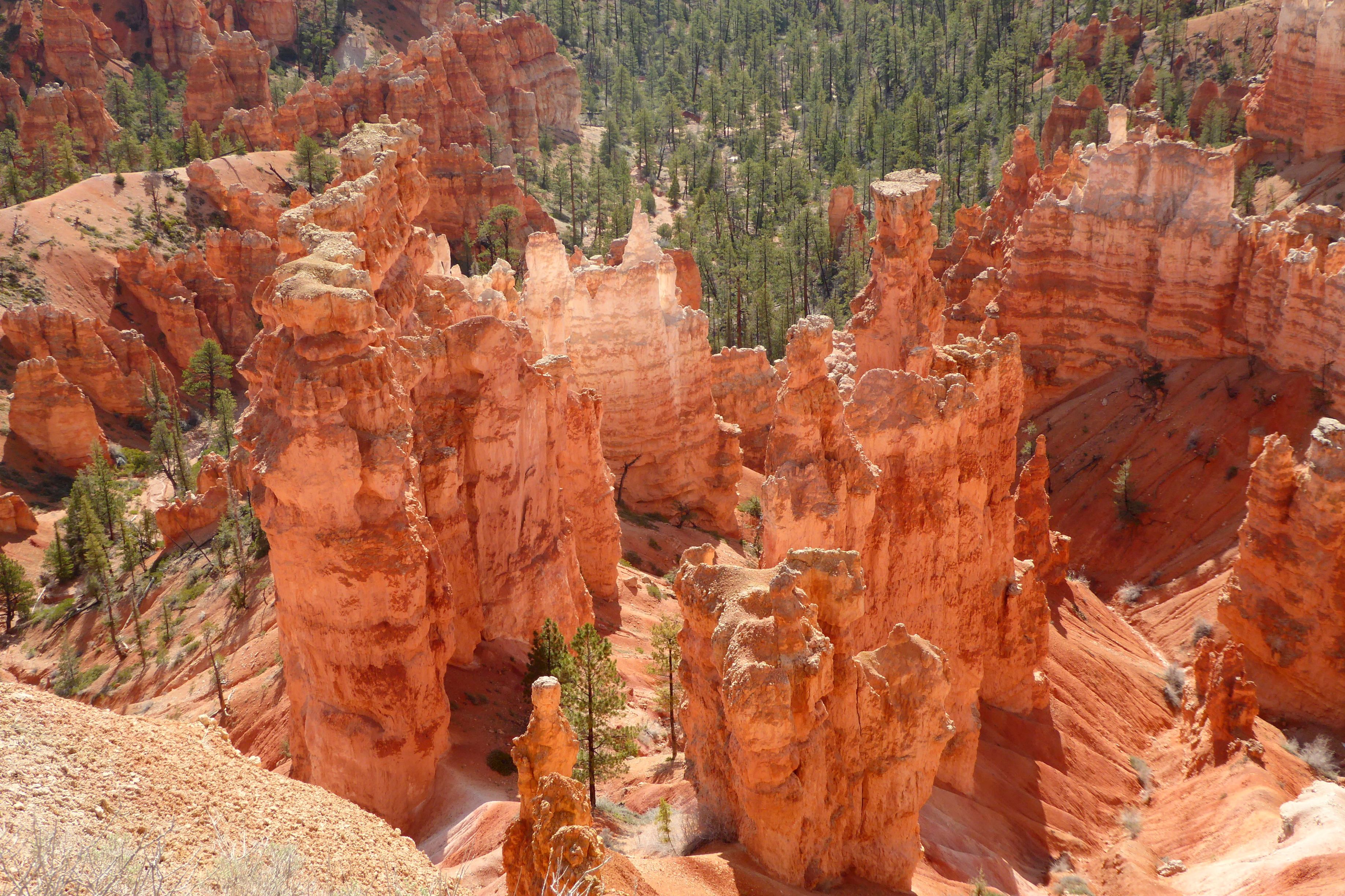
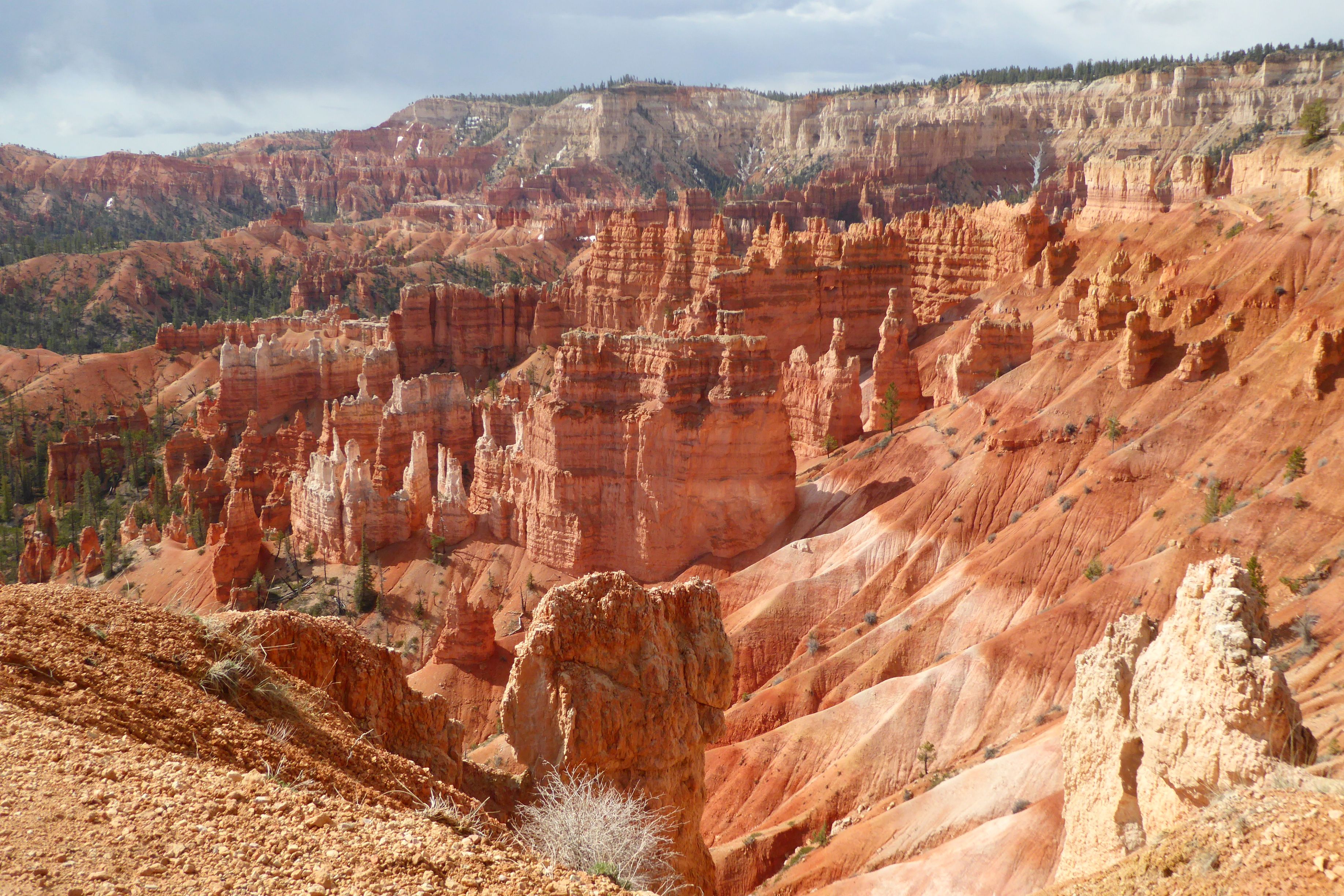
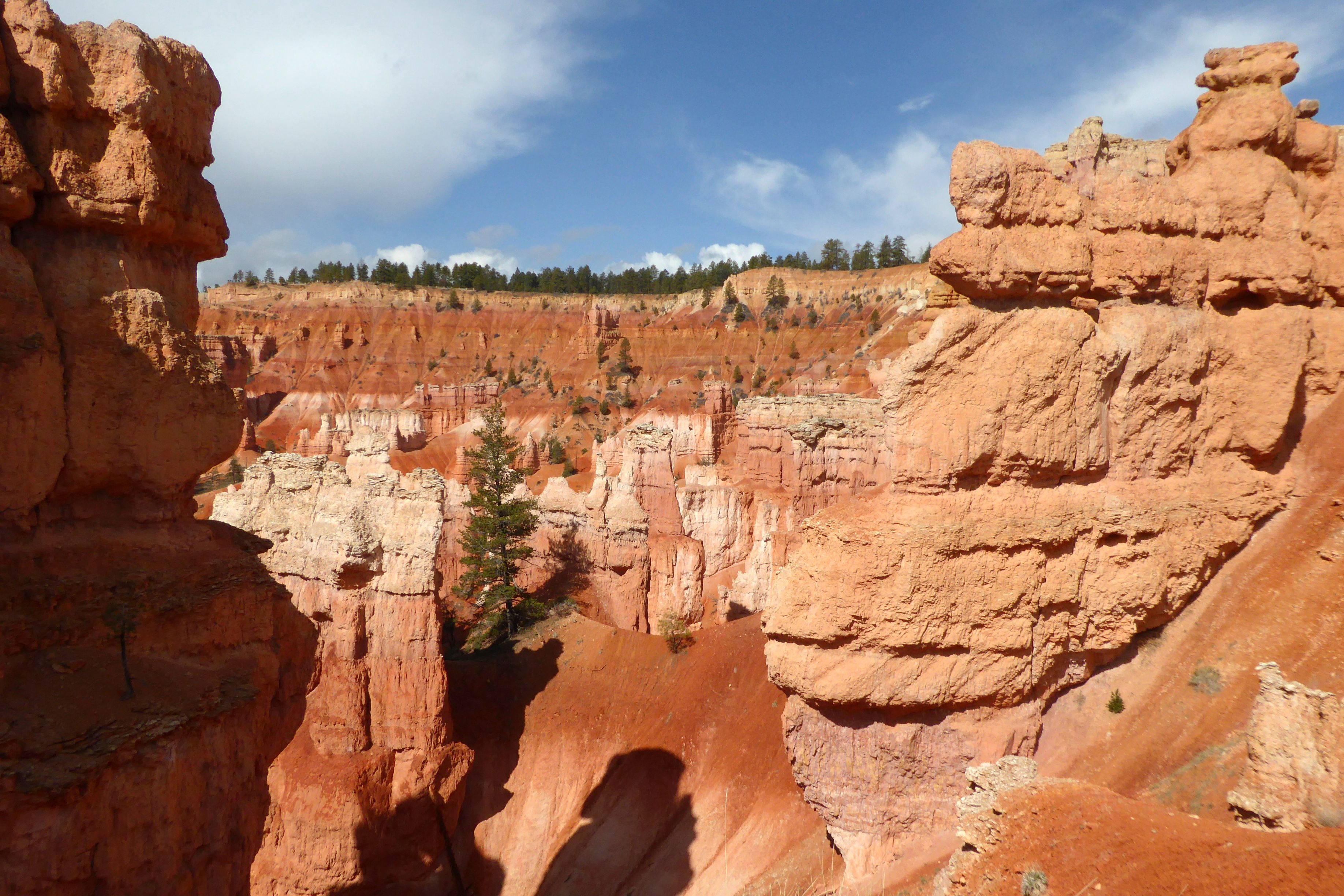
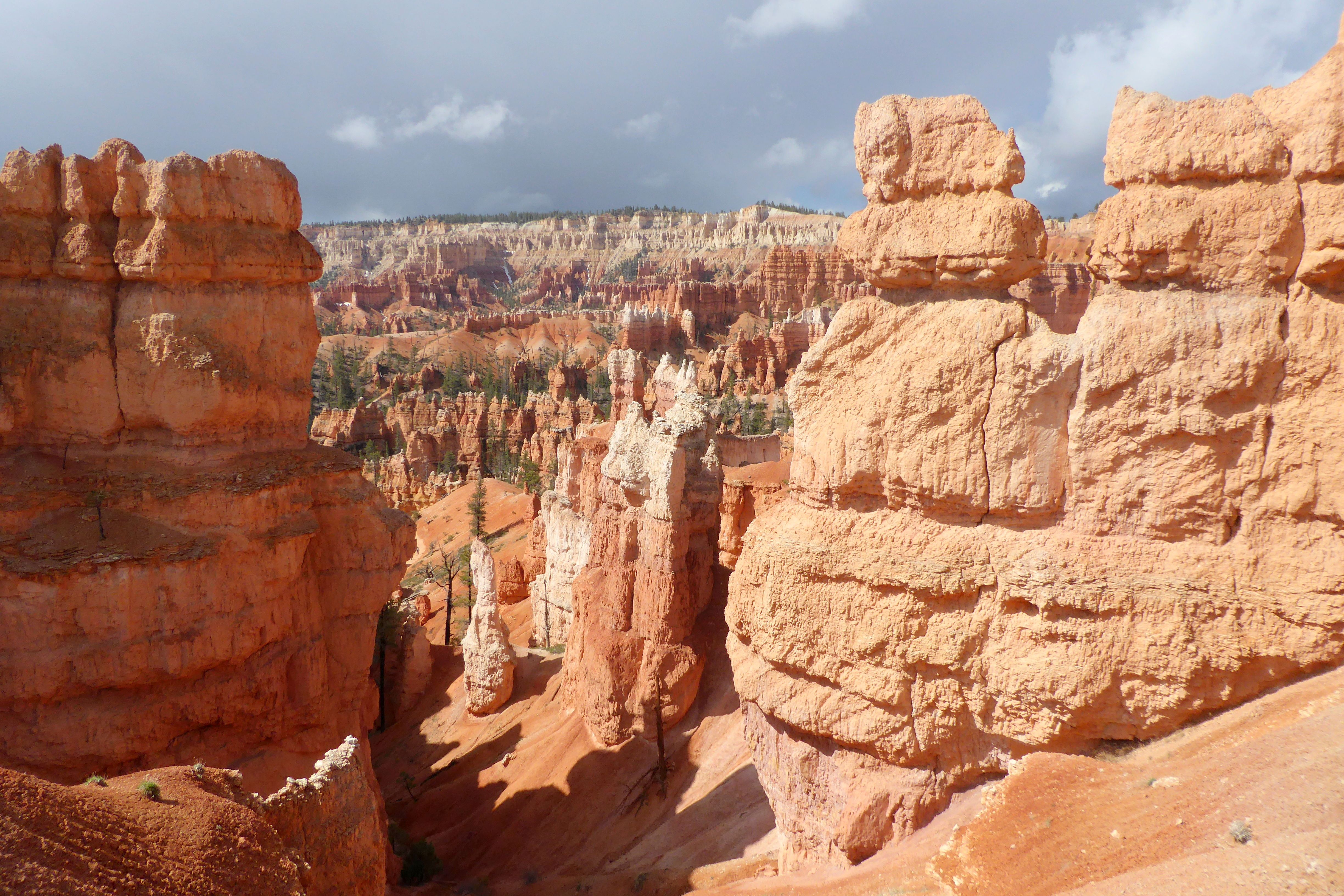
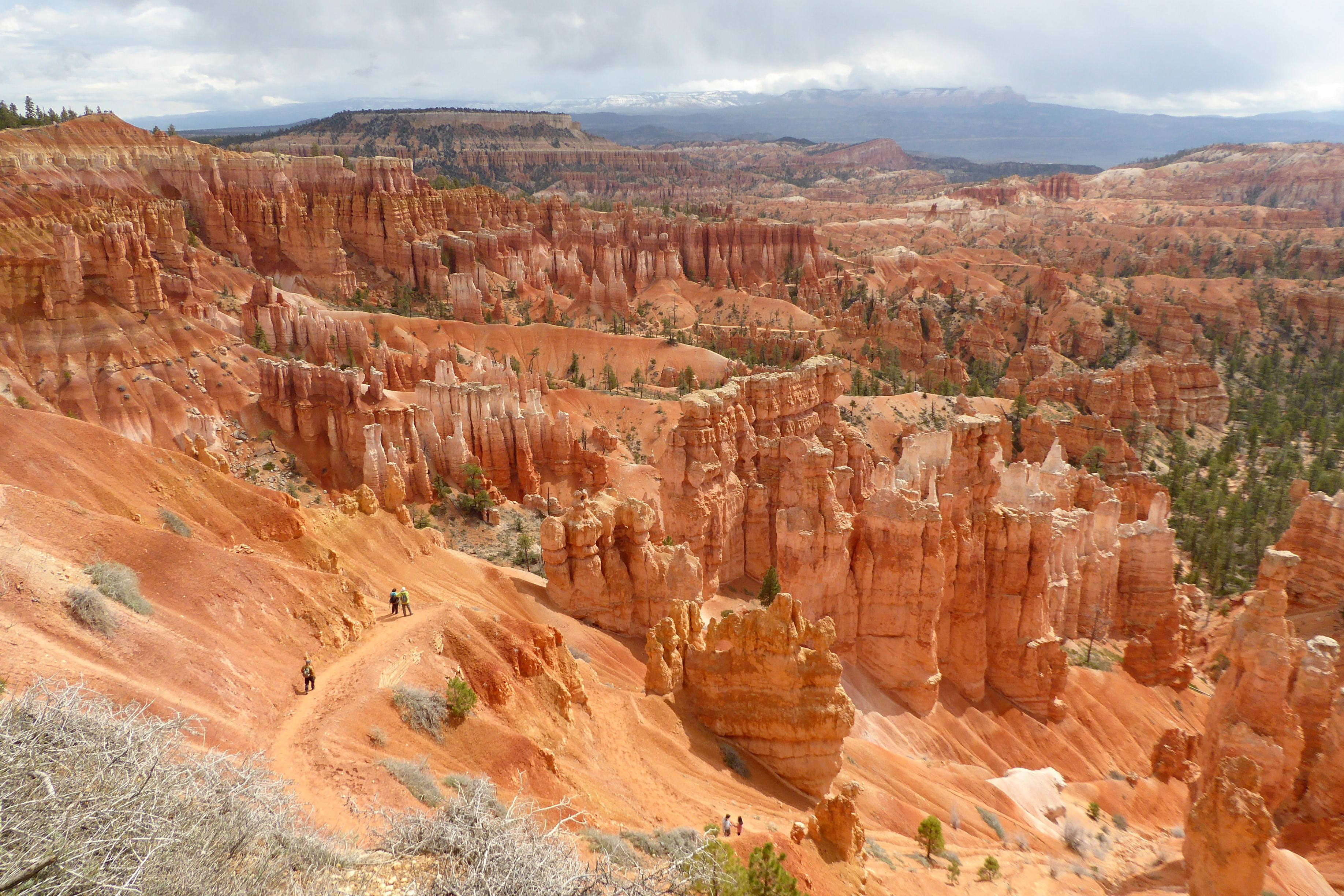
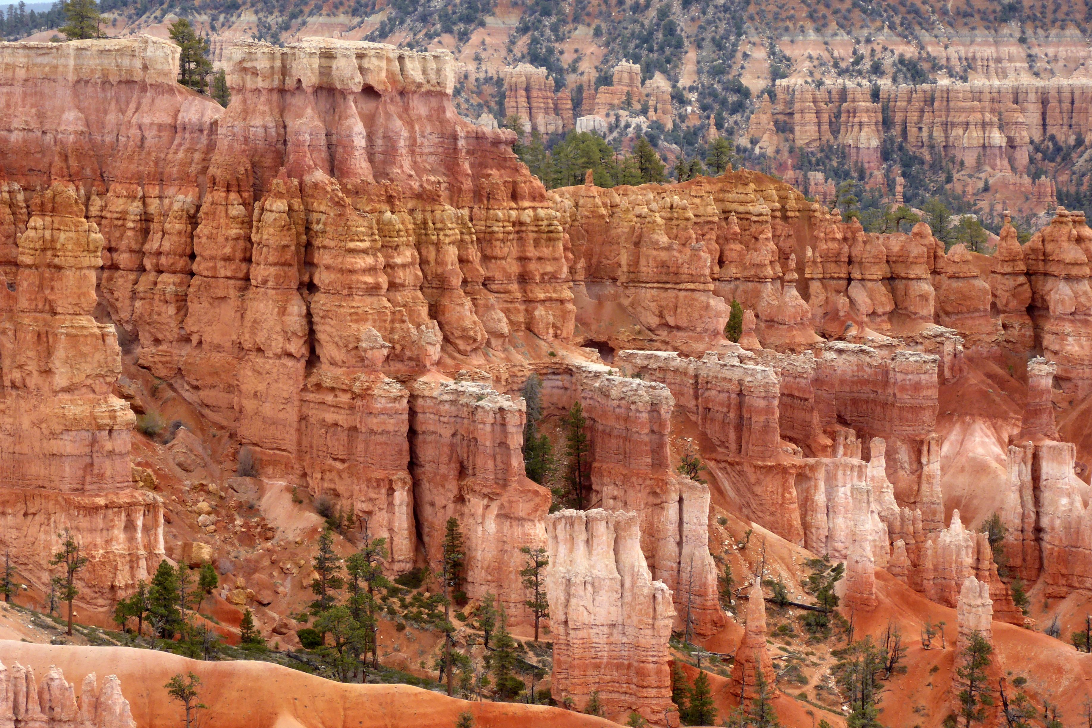
You’ve got to see it to believe it! It truly is an amazing sight, standing at the top of Bryce’s Amphitheaterand looking down into a bowl of hoodoos! These irregular-shaped rock spires consist of relatively soft rock topped by harder, less easily eroded stone that protects each column from the elements. These spires range in size from the height of an average human to heights exceeding a 10-story building.
Knowing we would be at high elevation during this trip, I came prepared, so I wouldn’t have a repeat of 2019’s huffing-and-puffing at the National Senior Games, in Albuquerque, New Mexico, elevation 5,312 feet. Competing in the 200 Yard Butterfly and 400 Yard Individual Medley, my two most difficult races, was an exercise in futility. Never had I clung to the walls in the middle of a “race” like that before; it was usually reserved for the end, after the clock had stopped. It wasn’t a pretty sight; all of us low-elevation dwellers suffered at that meet, logging in personal worst times.
After the meet concluded, we went to play tourist in Santa Fe, where I attempted a nice, relaxing, recovery workout. During my first lap, I couldn’t even make the turn. I literally clung to the wall to catch my breath—and, I was in the best condition of my life! The 7,198-foot elevation just about killed me.
Fast forward to researching and booking this trip and learning that Bryce Canyon’s elevation is at 8-9,000 feet. I knew I would be in trouble if I wasn’t prepared, so I had an idea: Train with a KN95 mask! After training hard in the pool and doing my dryland workout on deck for 2 to 2-1/2 hours each day, I would put on my mask and head up to the indoor track and hoof it at my fastest walking pace for a mile or more, if I met up with a friend for conversation. (Try walking fast while wearing a KN95 mask AND carrying on a conversation!). I have been doing that six day per week since the beginning of the year, and it made all the difference. Hiking in Bryce was a breeze, and I jogged back up the steep trail to the top with my breath intact. (I’m still walking daily with my KN95’s!)
(For all pictures, click on the image to see full screen view.)
Bryce Point Inspiration Point
View from Sunset Point
Looking out from the other side of Sunset Point
The hoodoo on the right with the flat top is “Thor’s Hammer,” a symbol in Norse mythology.
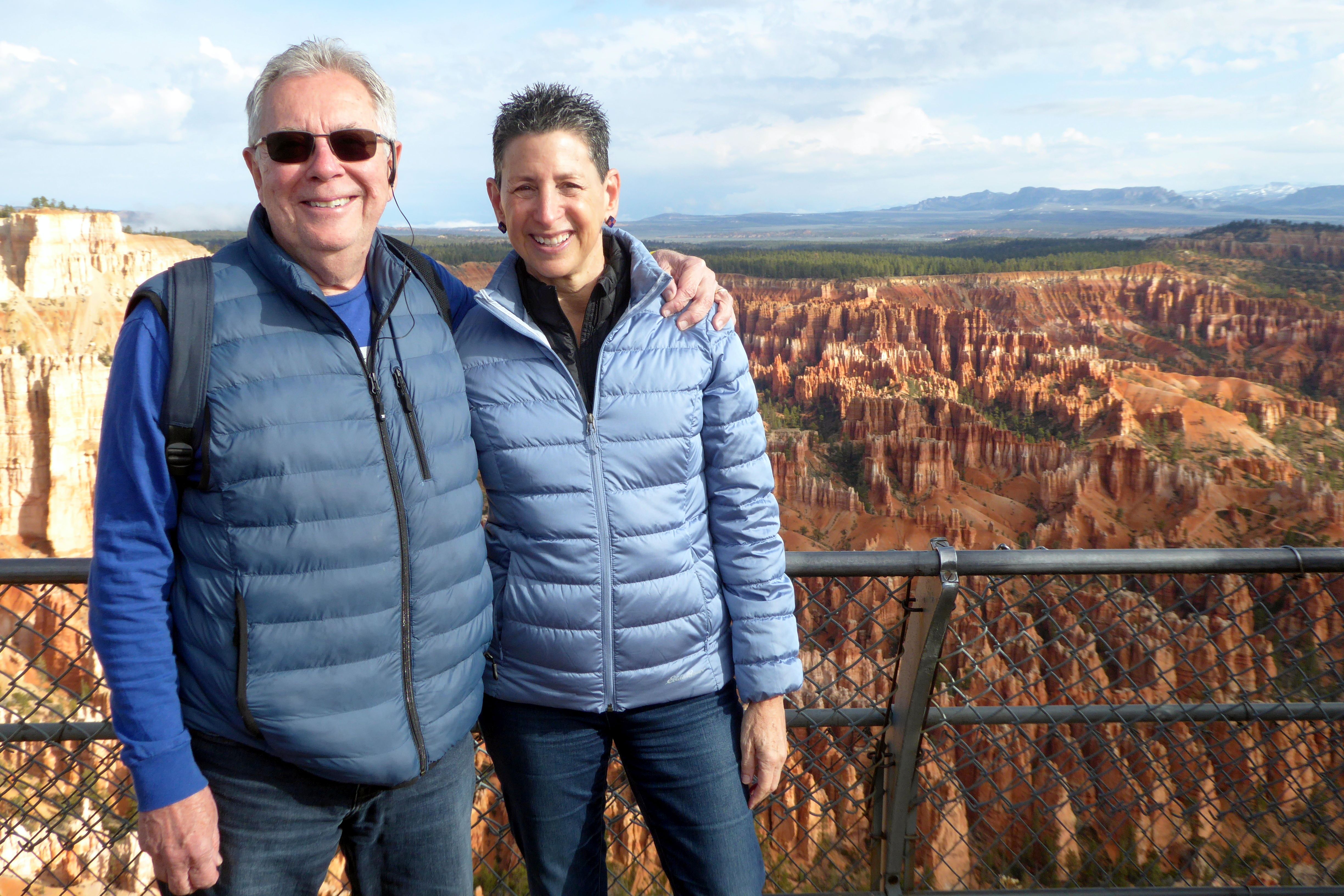
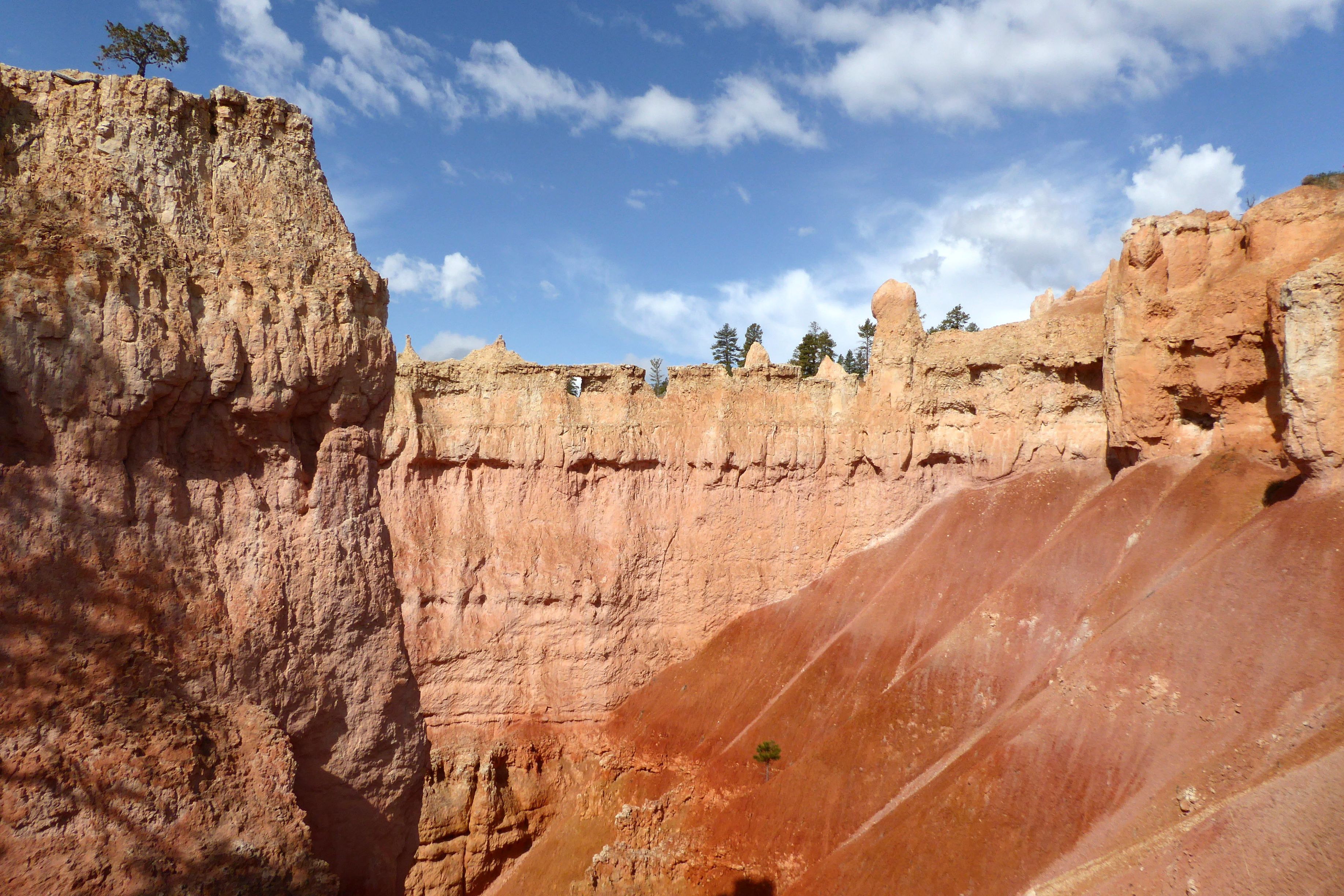
A walkway rims the top of Bryce Amphitheater, providing spectacular views of the hoodoos.Descending Queen’s Garden Trail provided a different viewing perspective of the hoodoos. As you can see from the photos, the weather kept changing drastically! It went from cloudy, to sunny, to cloudy, several times with some added precipitation sprinkled in! My day pack came in handy for cramming in and pulling out my vest and jacket several times.The view from the top of the rim after hiking back up. The mountains in the background were still topped with snow.
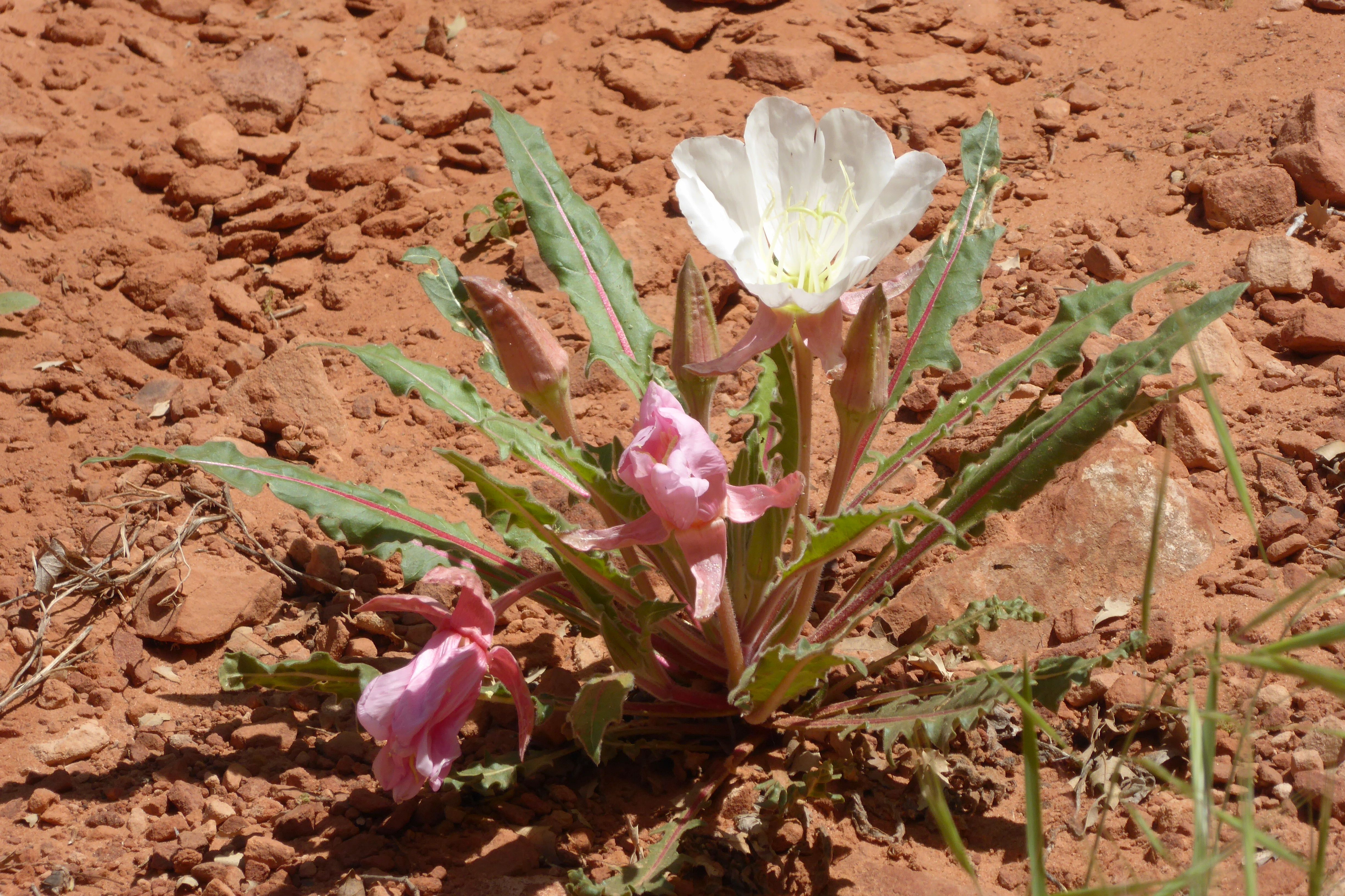
Bronze evening primrose
After we left Bryce, we enjoyed the views of Grand Staircase Escalante National Monument before driving through Boulder at 9,600-feet elevation. We made a brief photo stop, and I immediately ran down to pack a snowball. Nobody wanted to play catch with me, though.
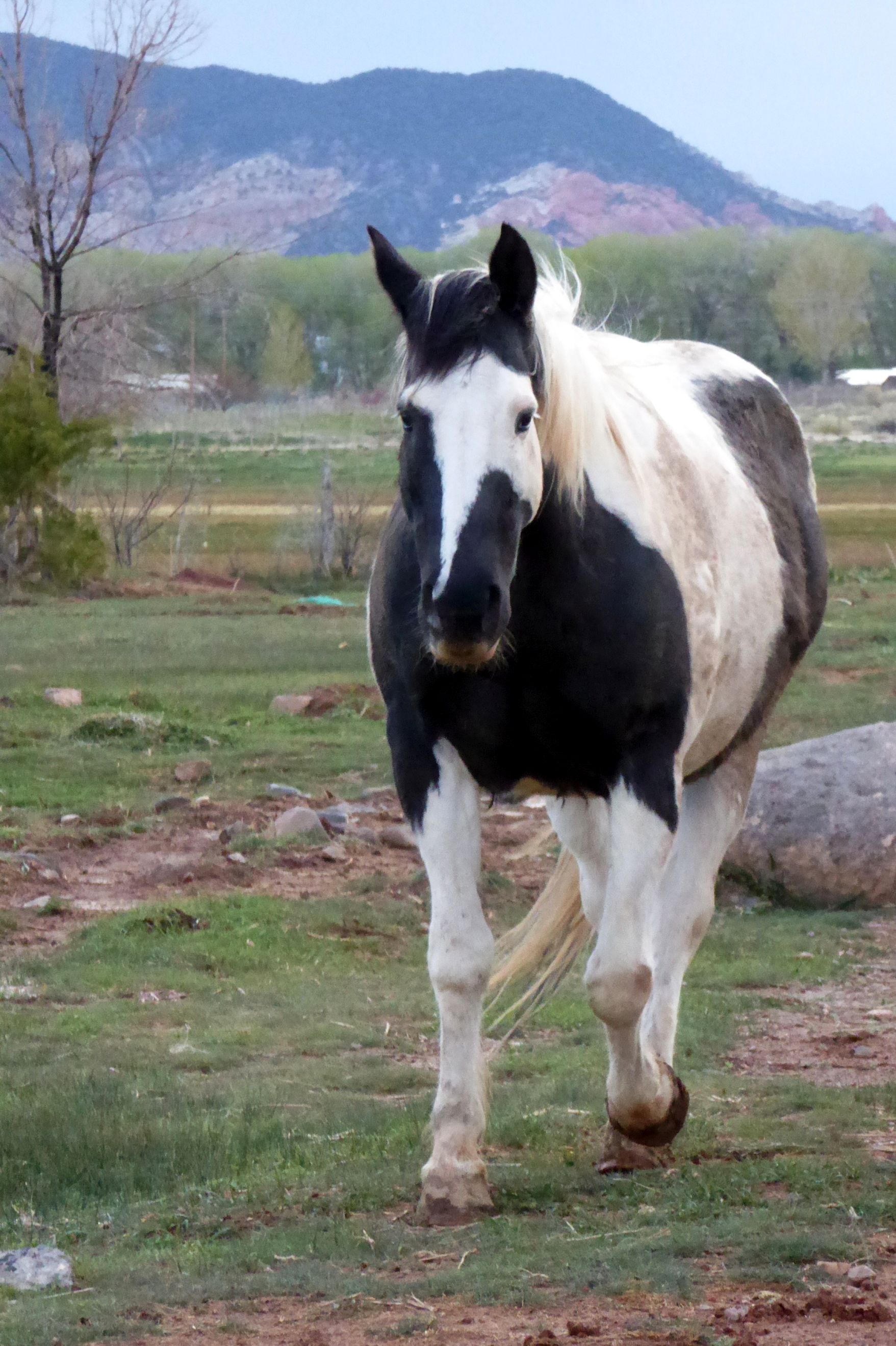
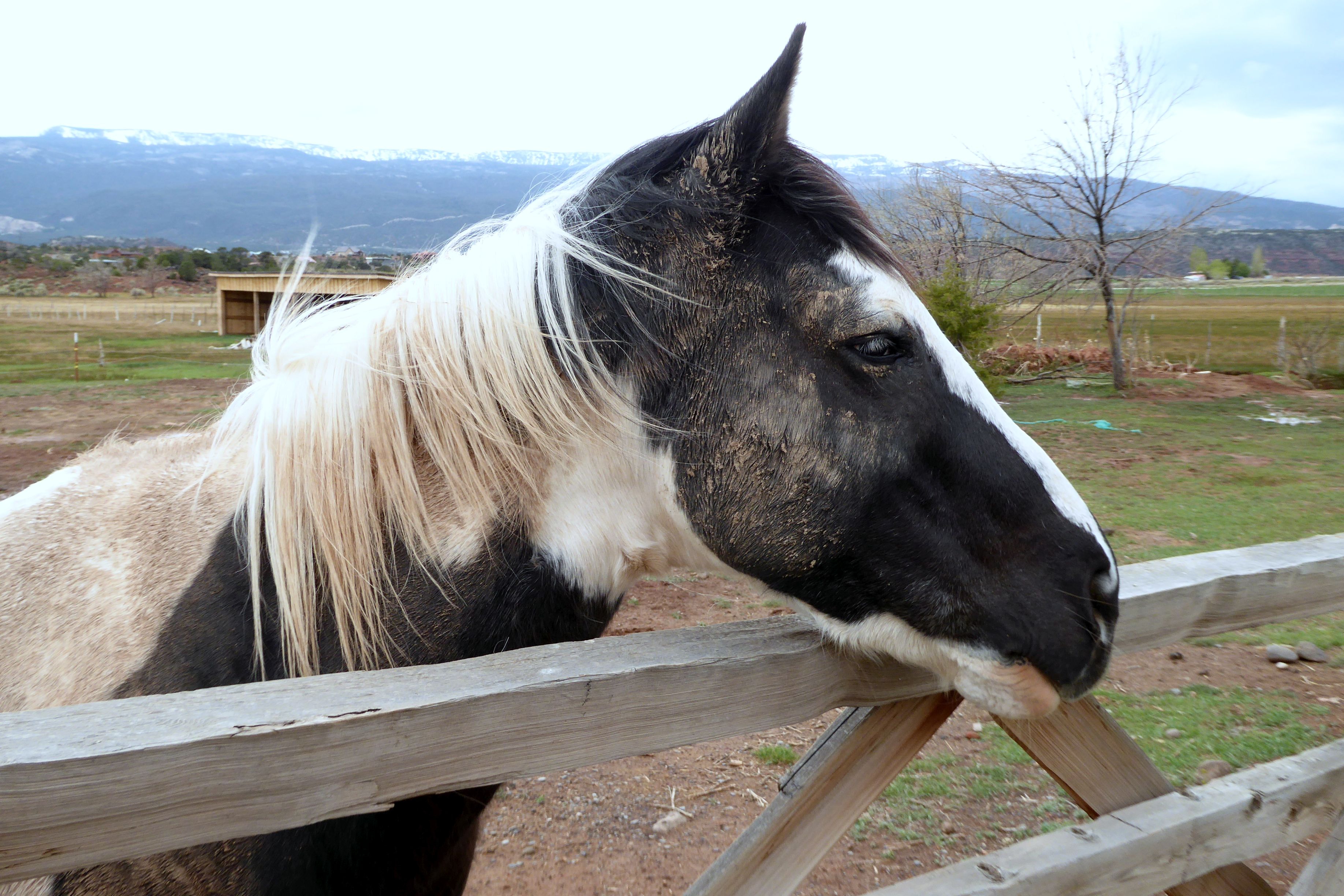
After checking in at the Red Sands Hotel, in Torrey, I gazed out the window and noticed cows and a bison off to the left, and this beautiful horse straight ahead. I went out to make a new friend.
What makes Utah so special is the miles and miles of wide open, unspoiled land. 80% of Utah is owned by the state or Bureau of Land Management, so it is mostly undeveloped.
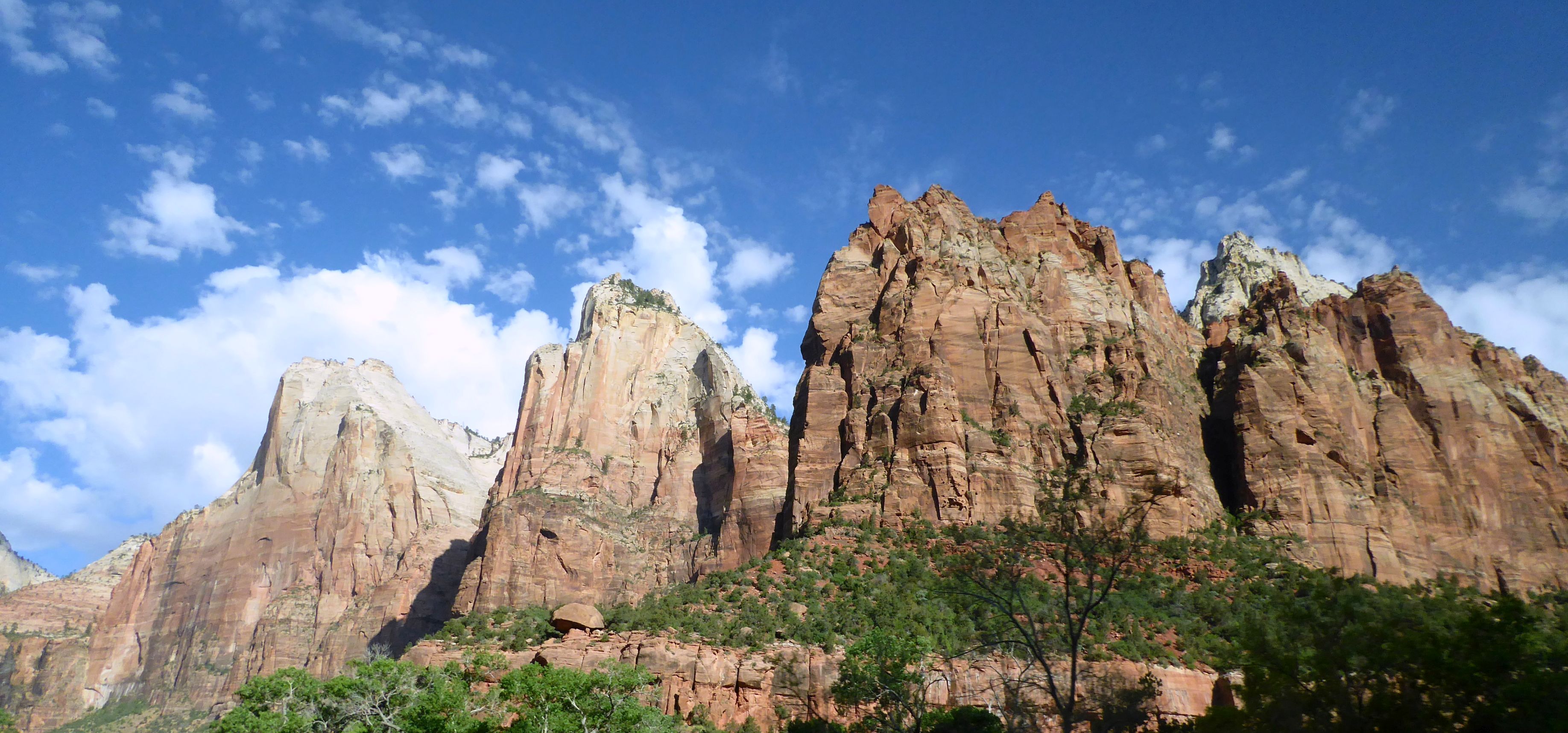
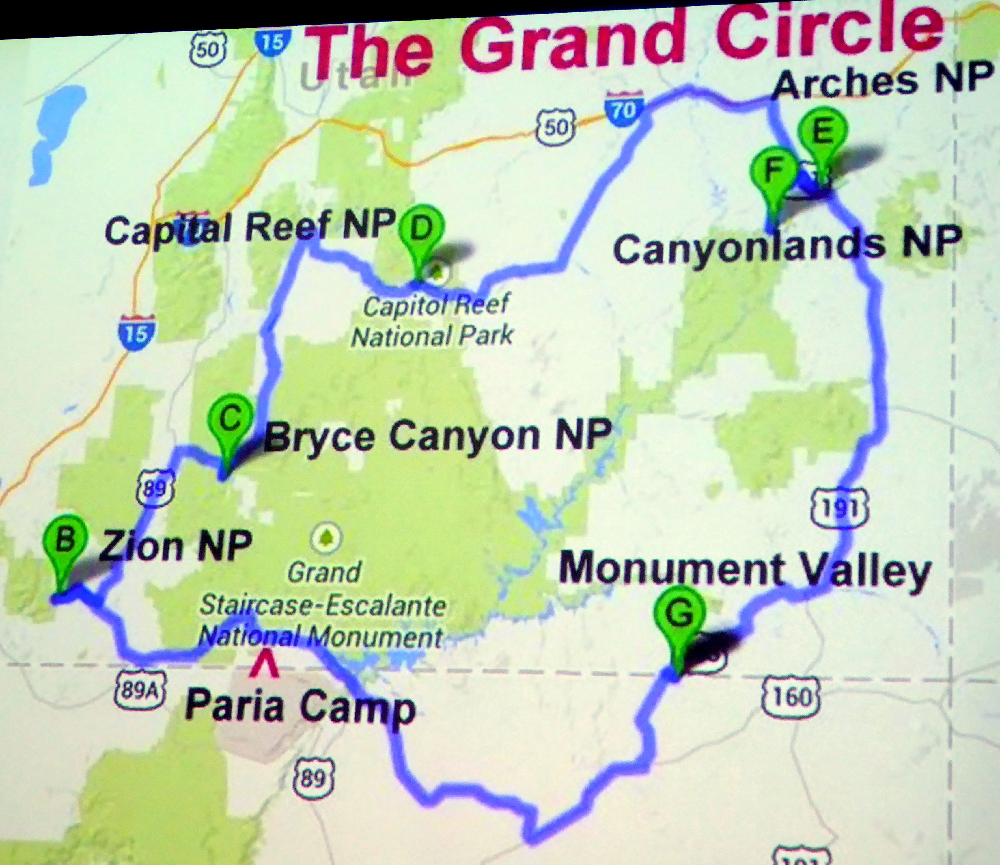
To begin our journey of the Grand Circle of Utah’s National Parks, the first national park we visited was Zion, Utah’s first national park, established in 1919. It is located in Southwestern Utah, and is characterized by deep sandstone canyons, a maze of narrow, and striking rock towers and mesas.
Native Americans were the first to inhabit the area about 8,000 yeas ago. Mormons started coming in during the late 1850’s, and called the area Zion; however, President Taft named it Mukuntuweap National Monument in order to protect the canyon. In 1918, Horace Albright, the acting director of the newly created National Park Service changed the park’s name to Zion National Park. (So much for the Native Americans being there first…)
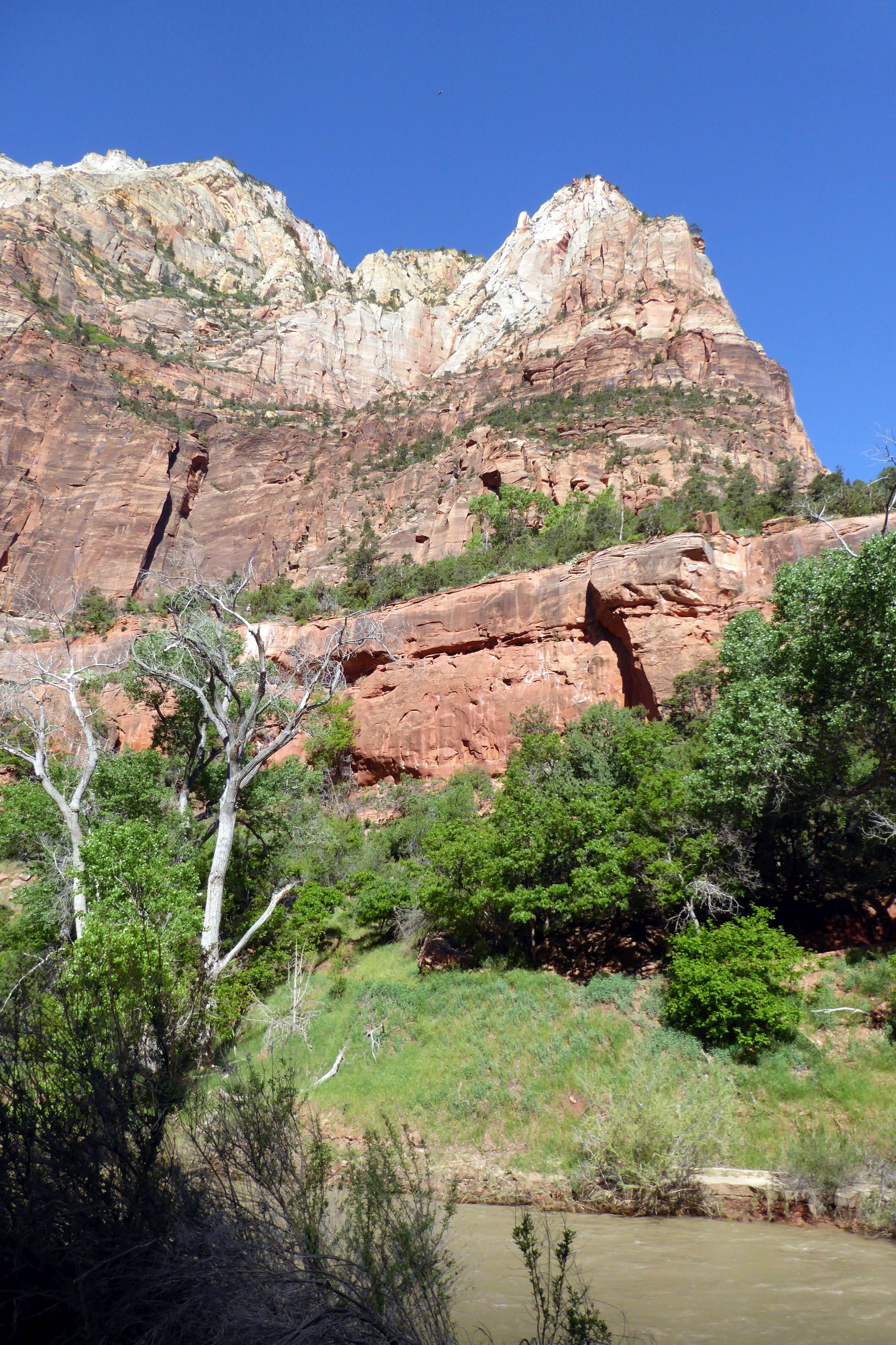
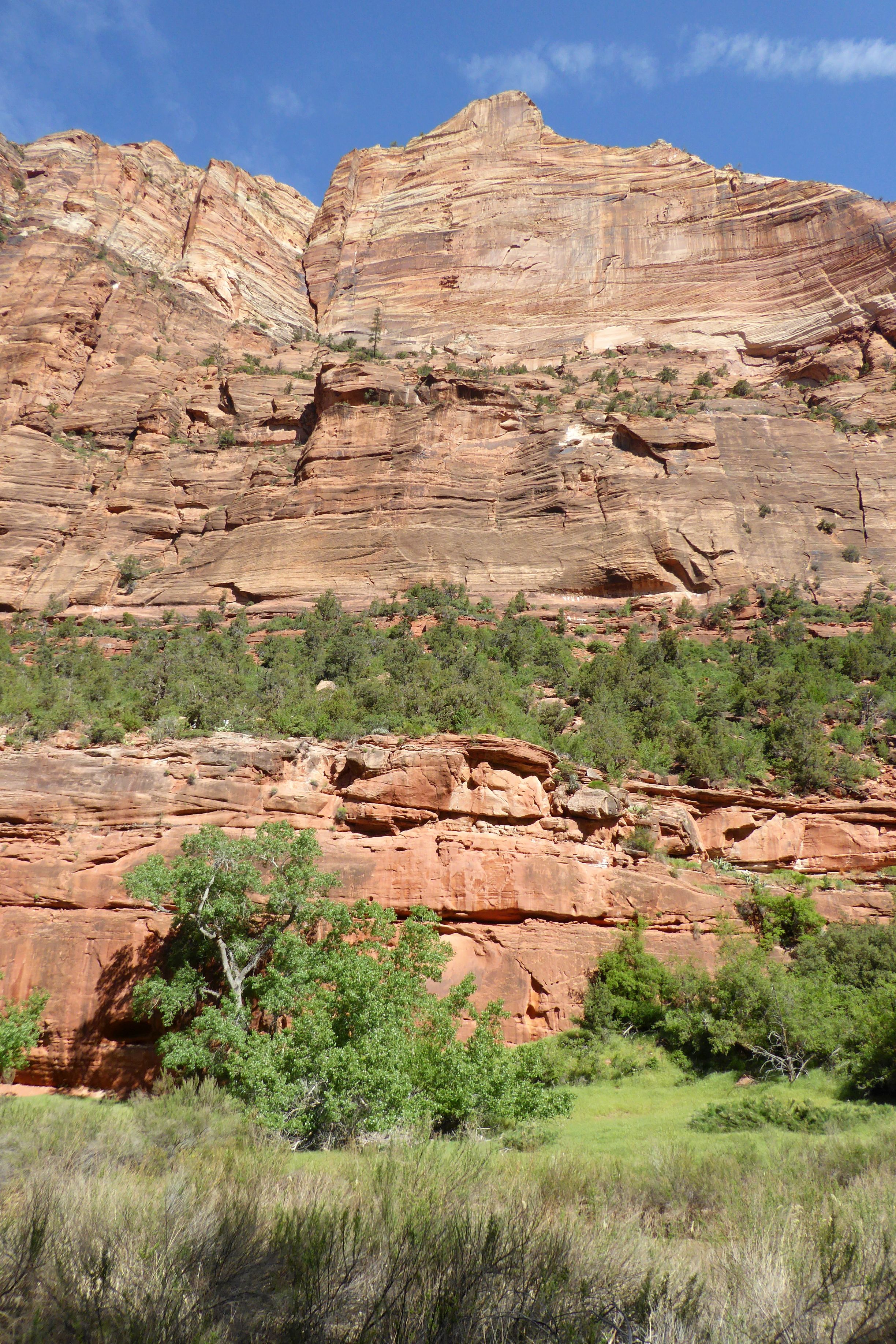
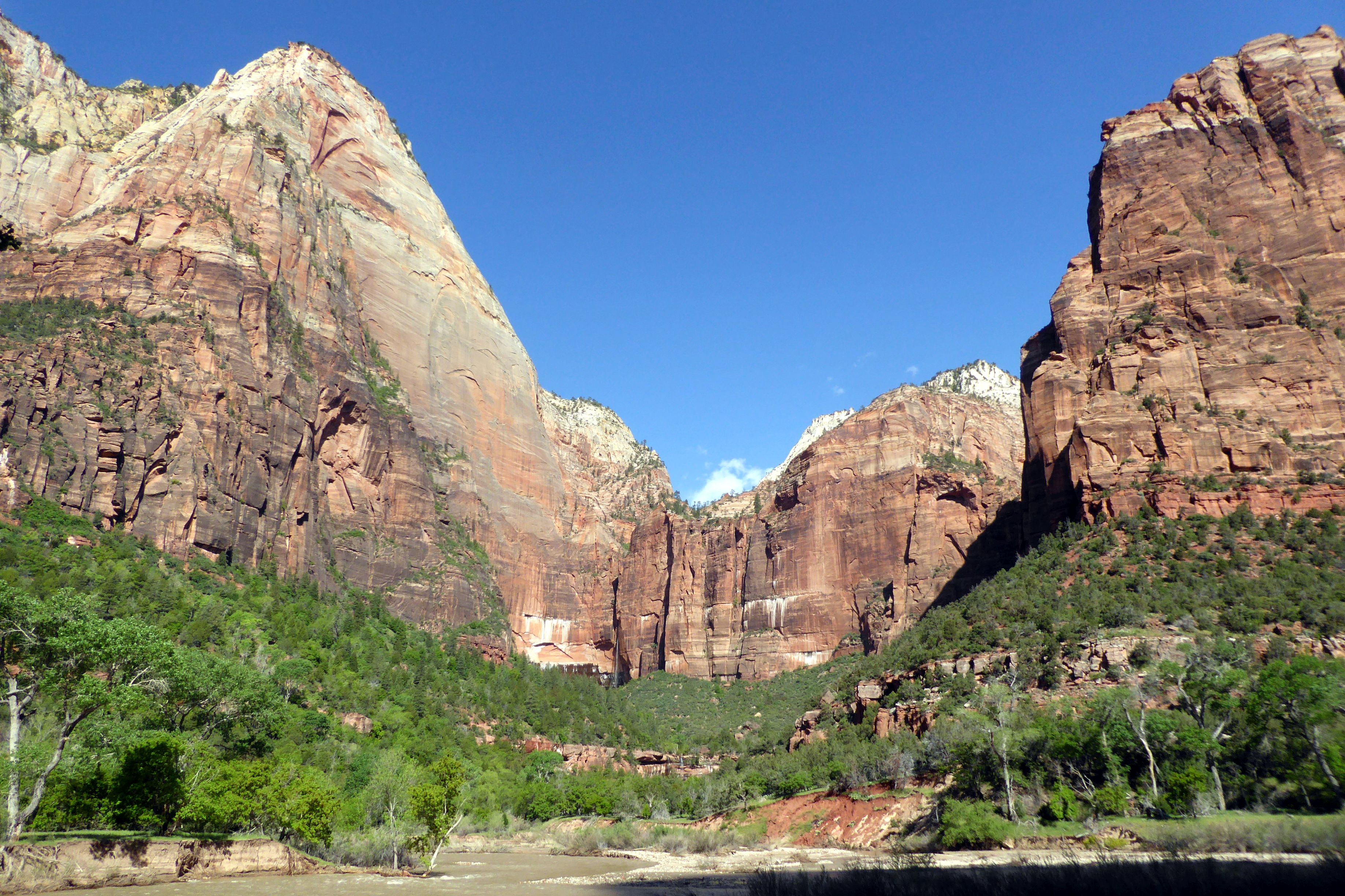
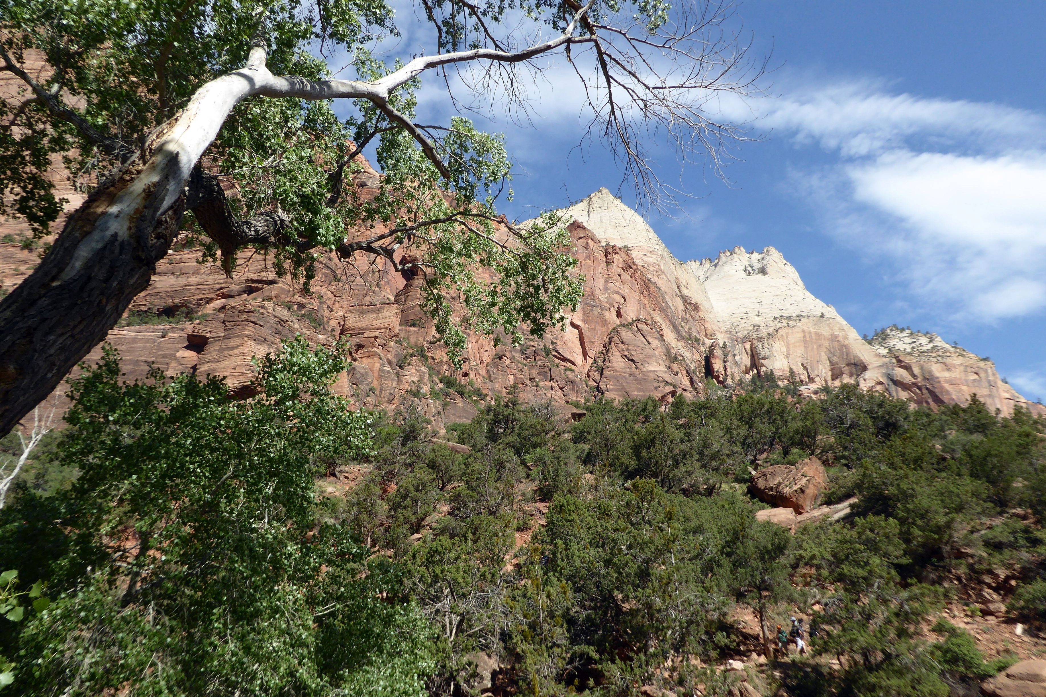
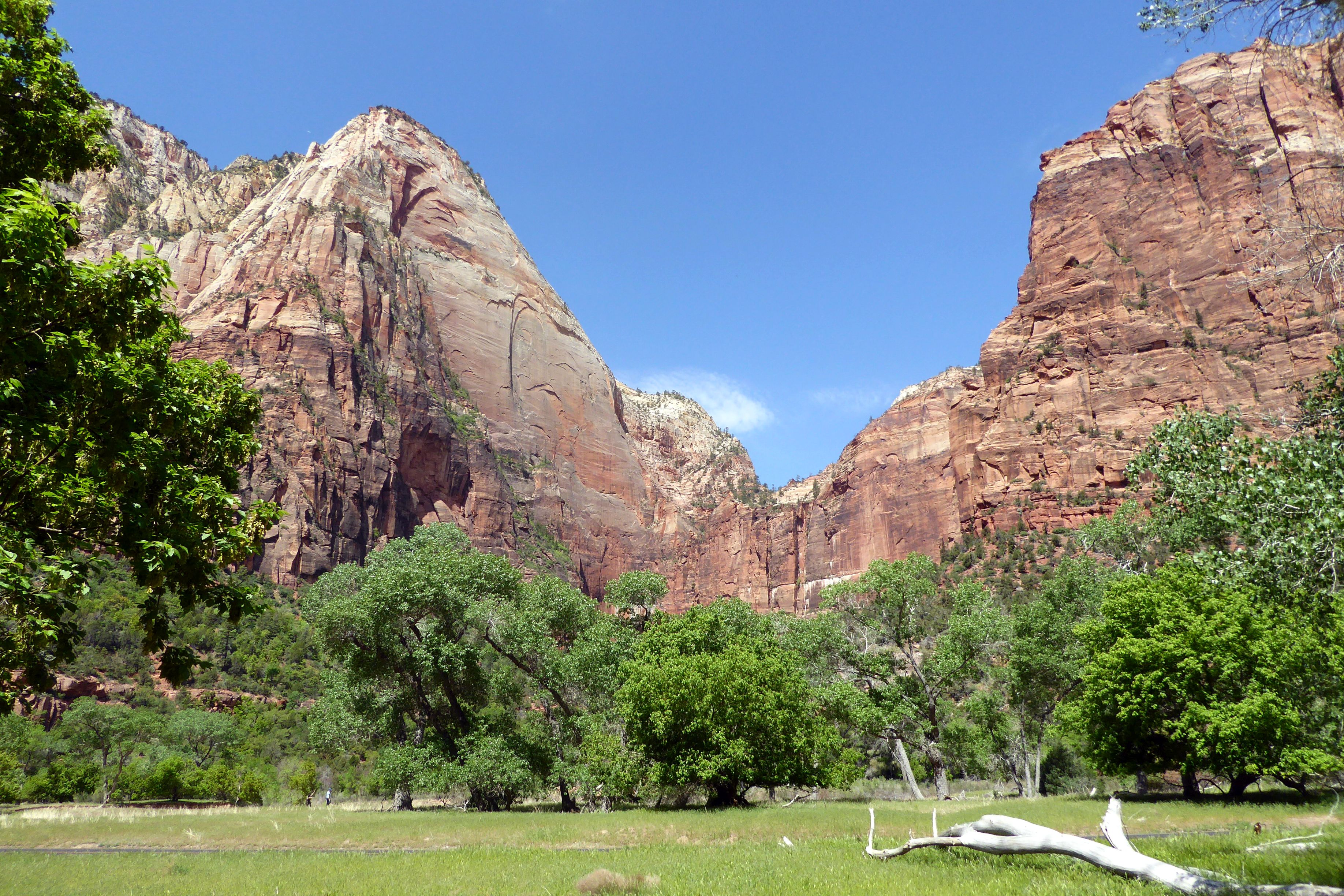
The Navajo sandstone in the rock formations is gorgeous; beautiful, rich shades of red. A Wikipedia article about Zion describes the geology as, “… nine formations that together represent 150 million years of mostly Mesozoic-aged sedimentation. At various periods in that time warm, shallow seas, streams ponds and lakes, vast deserts, and dry near-shore environments covered the area. Uplift associated with the creation of the Colorado Plateau lifted the region 10,000 feet (3,000 m) starting 13 million years ago.” I’ll take the author’s word for it. All I know is that it was gorgeous, the sky was a beautiful shade of blue, and the Navajo sandstone formations set against the blue sky was spectacularly colorful! It made for an inspiring day of photography, as we hiked to the Emerald Pools and back.
(For all pictures, click on the image to see full screen view.)
We crossed over this bridge to continue our hike to the Emerald Pools.
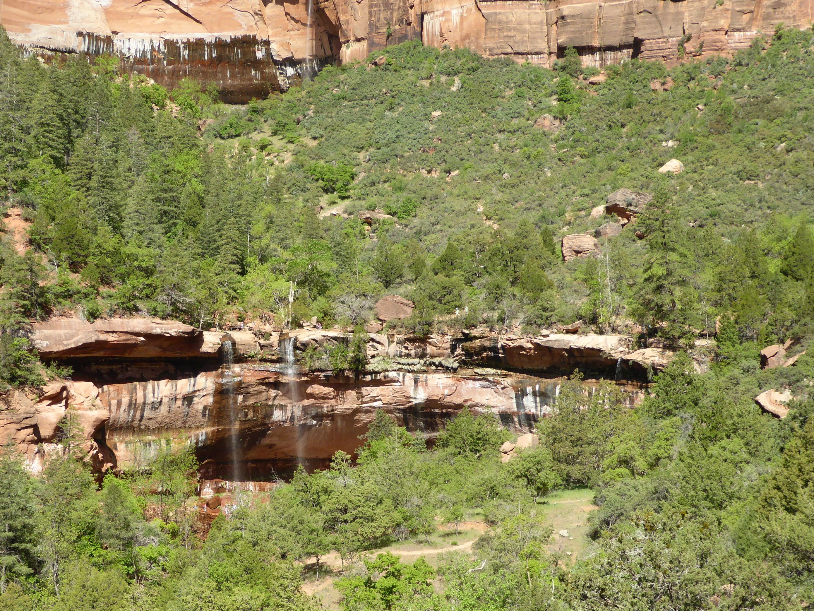
As we increased elevation, the vistas of the canyon were beautiful.
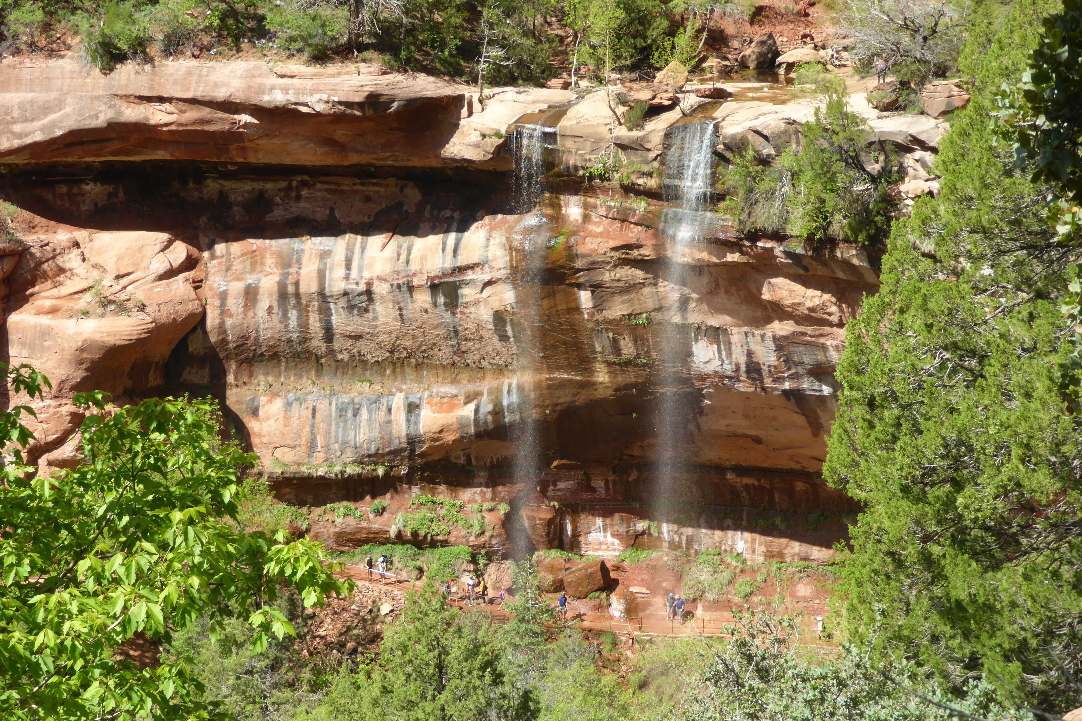
Our first sight of the Emerald Pools and waterfalls
After seeing the Emerald Pools, we took the path back down to the river, crossed the bridge, and headed back to the lodge.
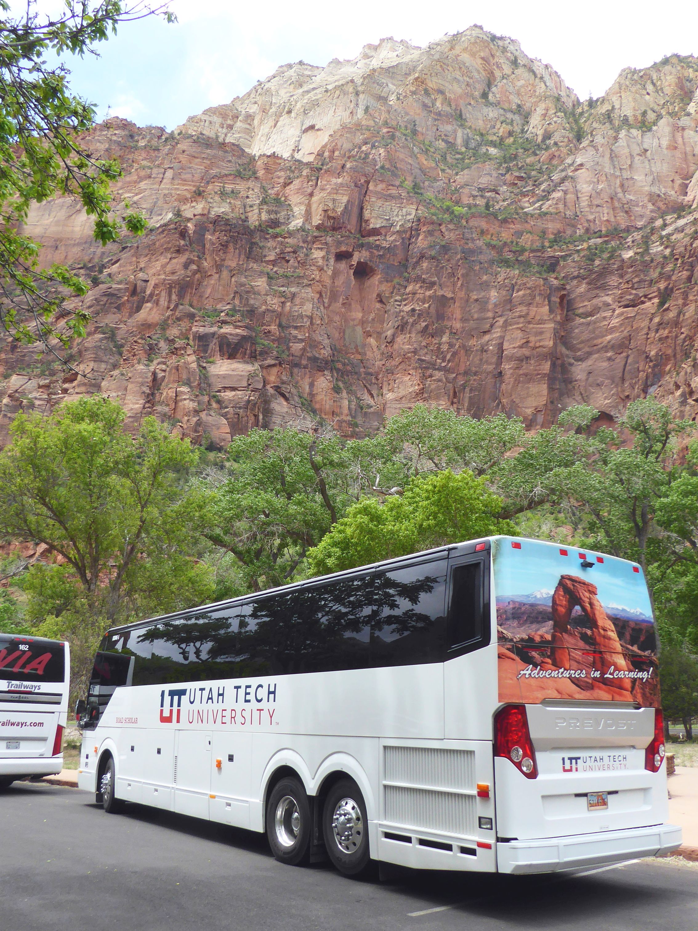
The sky clouded over after we finished our lunch and headed out– perfect timing! This was our Road Scholar tour bus for our group of 24 plus a tour leader. There was plenty of room to spread out in the back of this 45-seater.
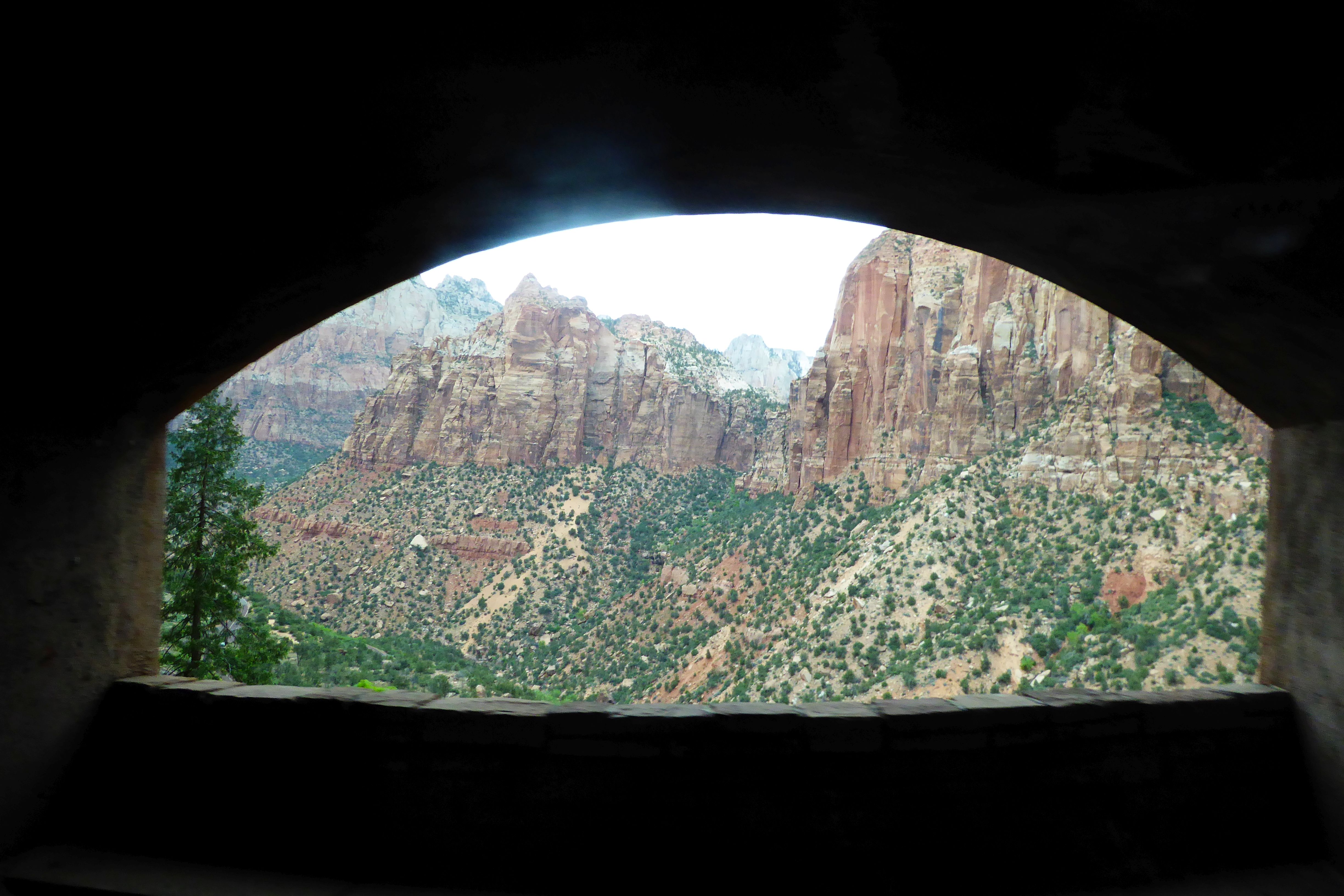
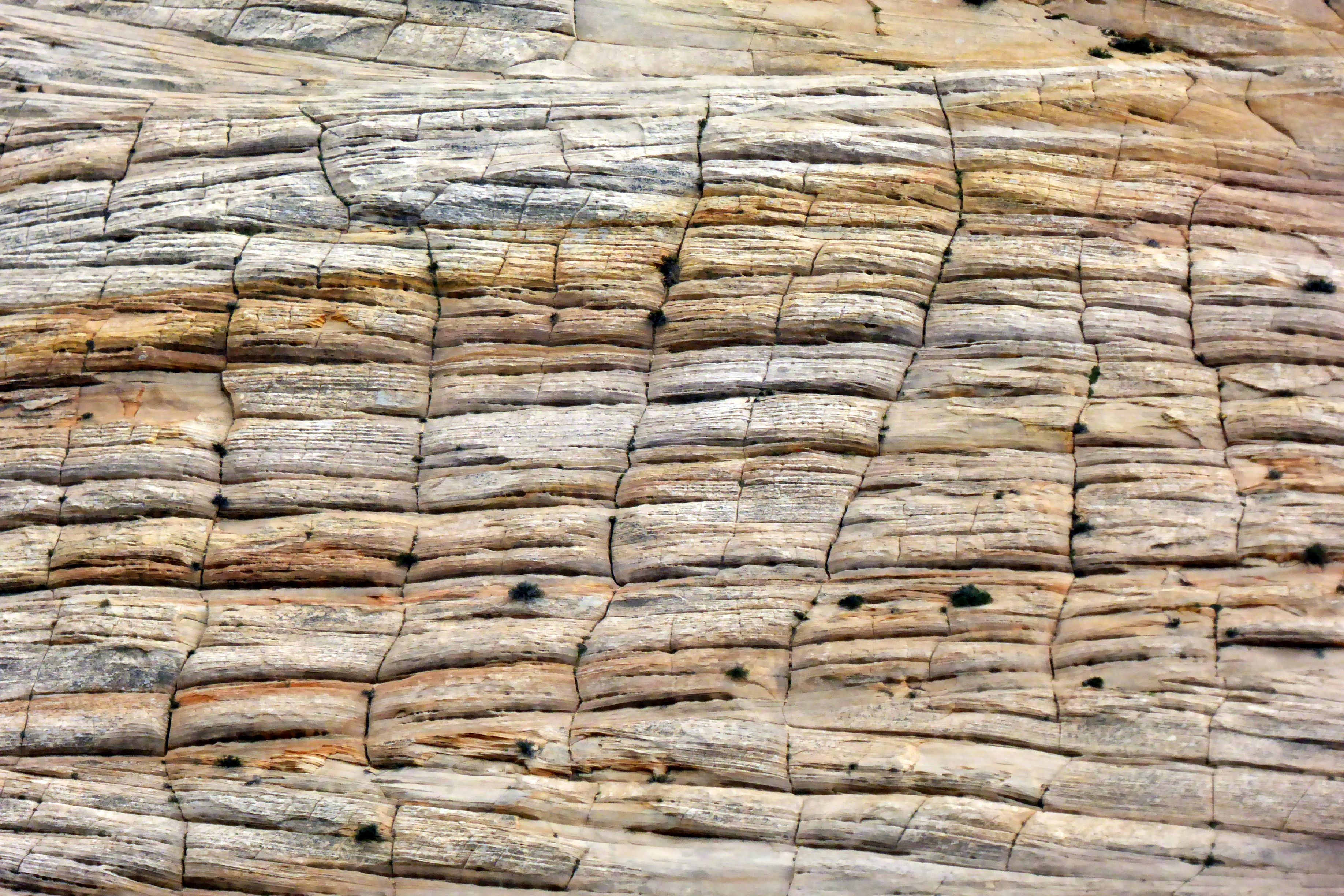
On our way to our next hotel at Bryce Canyon, we traveled through the Zion tunnel. I was able to grab this shot in the tunnel, shooting out the bus window, and through an opening. Checkerboard Mesa is at the east entrance of Zion, after leaving the tunnel. This is naturally sculpted rock. The horizontal lines is evidence of ancient sand dunes, and the vertical lines are fractures that have been enlarged over the years by runoff from rain and melting snow.
Coming up next: Beautiful Bryce Canyon National Park
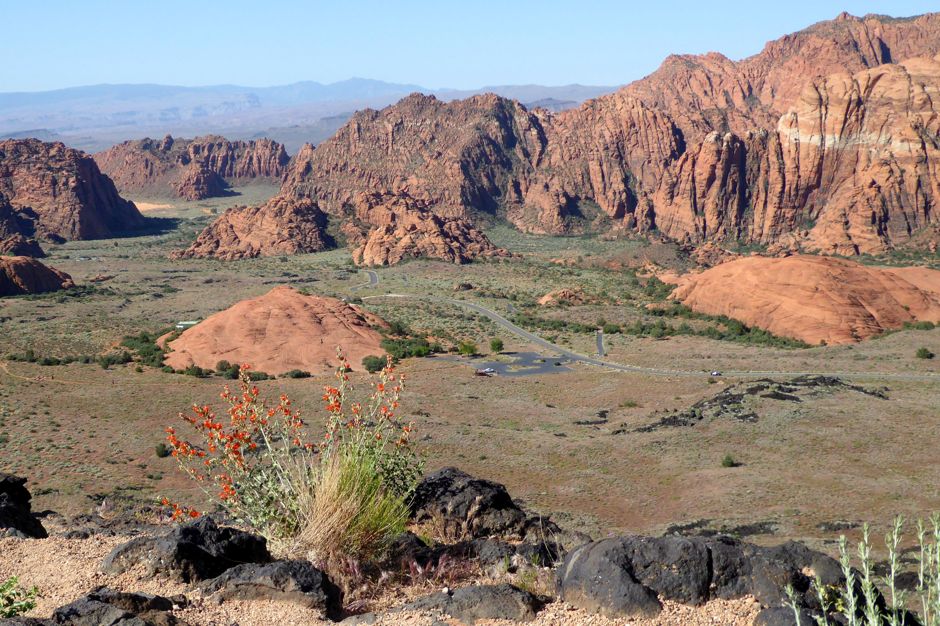
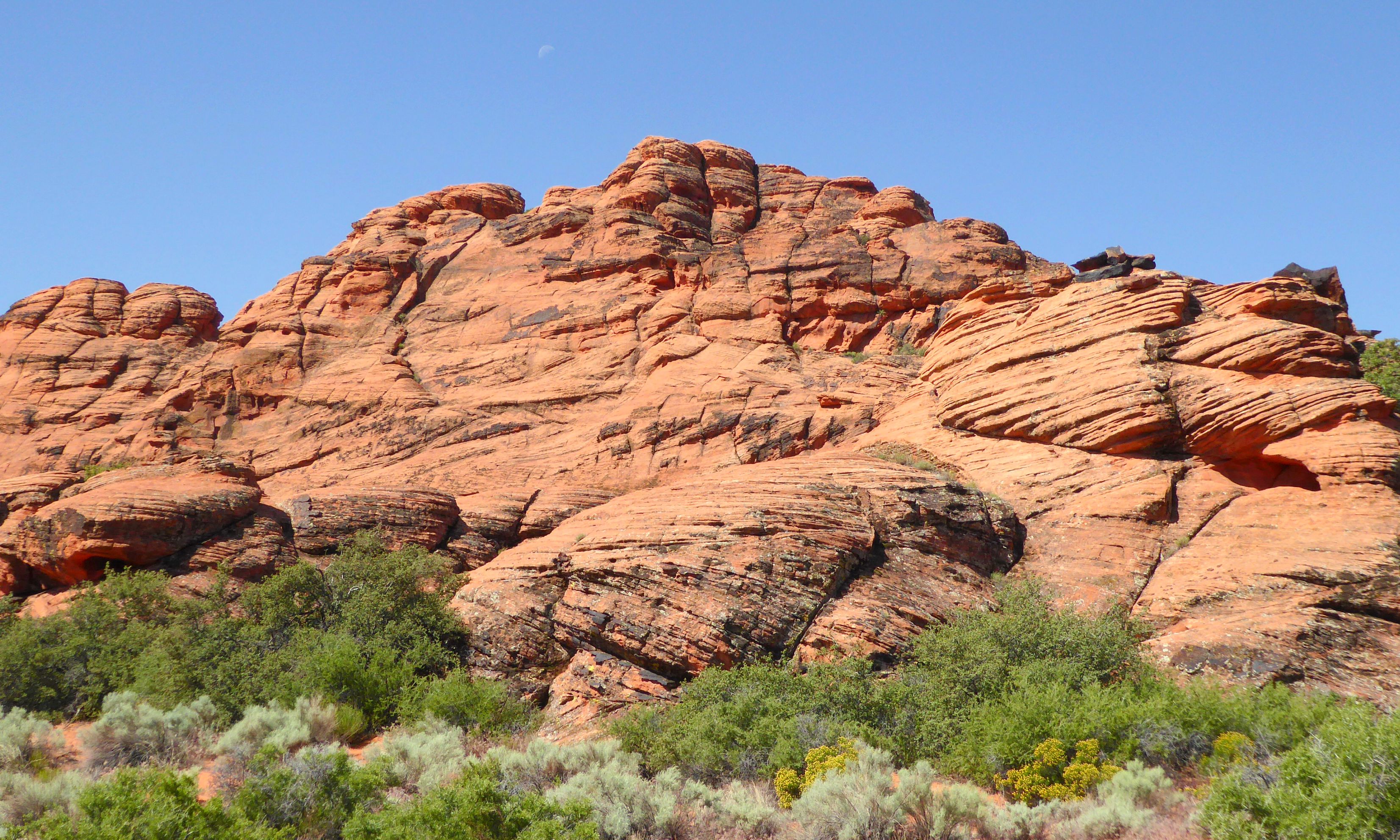
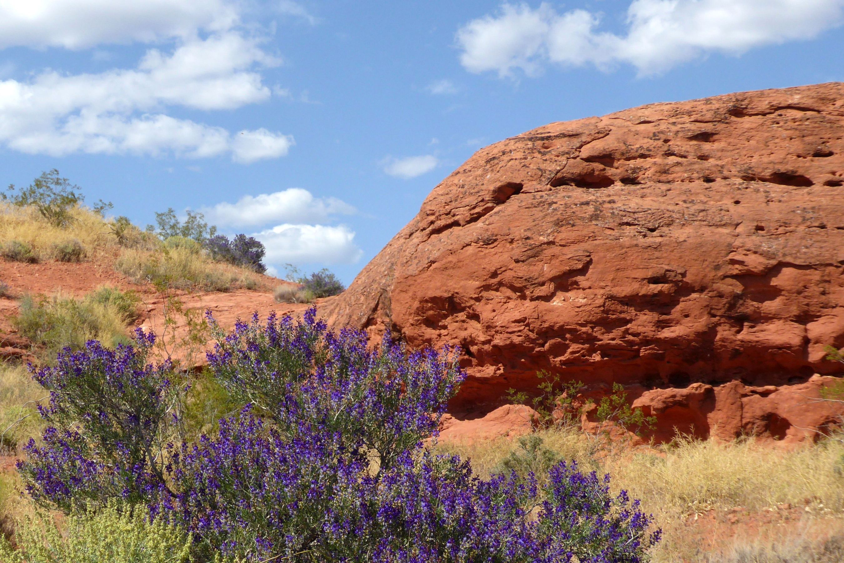
On our first full day of the tour, we learned about the geology of the parks we would be visiting, and then went to see our first park: Snow Canyon State Park, located near St. George, in the Red Cliffs Desert Reserve. The red you will see in the photos below is Navajo Sandstone.
Snow Canyon sits at the junction of Mojave Desert, Great Basin, and Colorado Plateau; so, the climate is very sunny and dry. The average rainfall is about 7.5 inches per year, and the summers can get extremely hot.
(For all pictures, click on the image to see full screen view.)
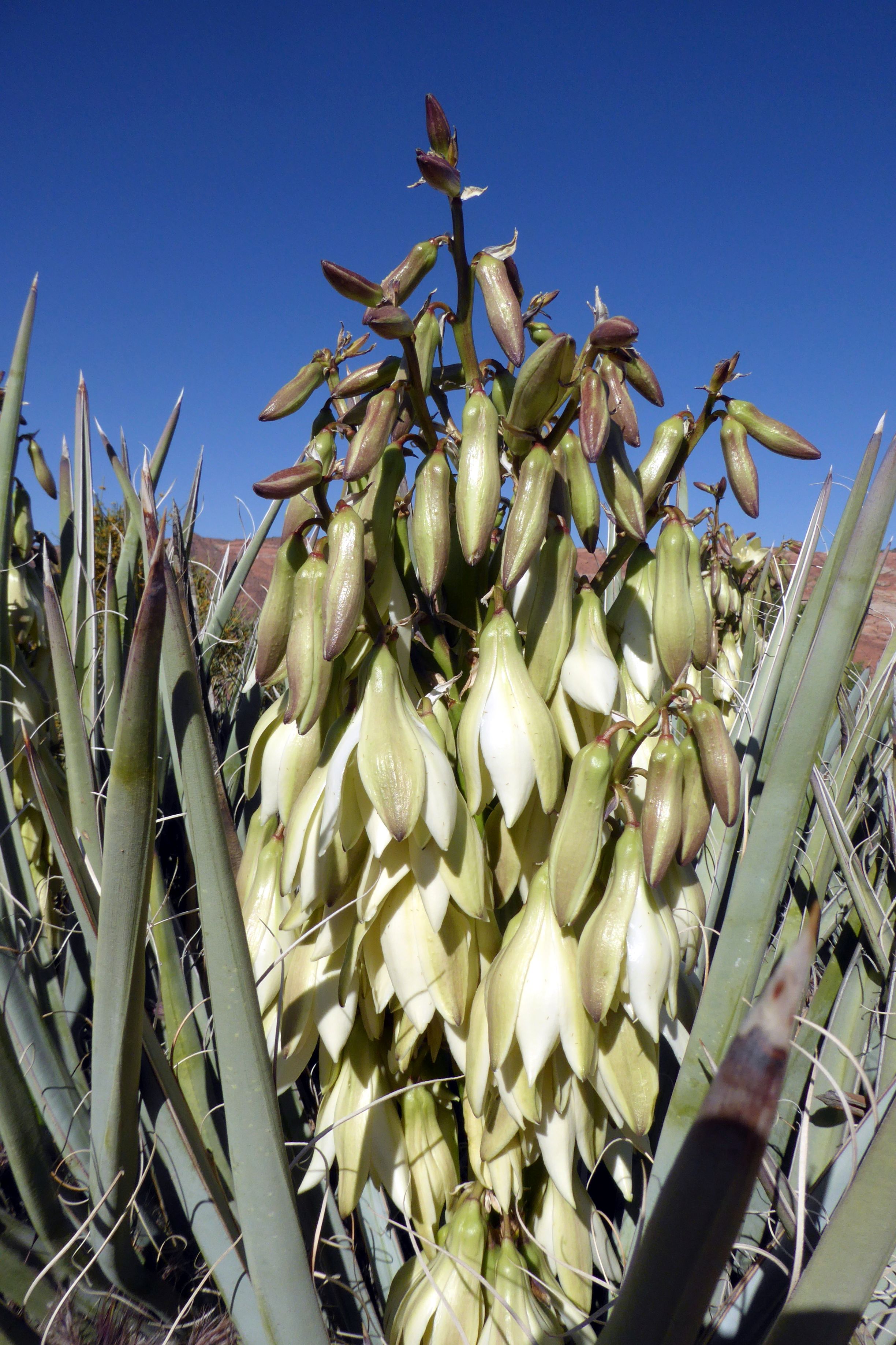
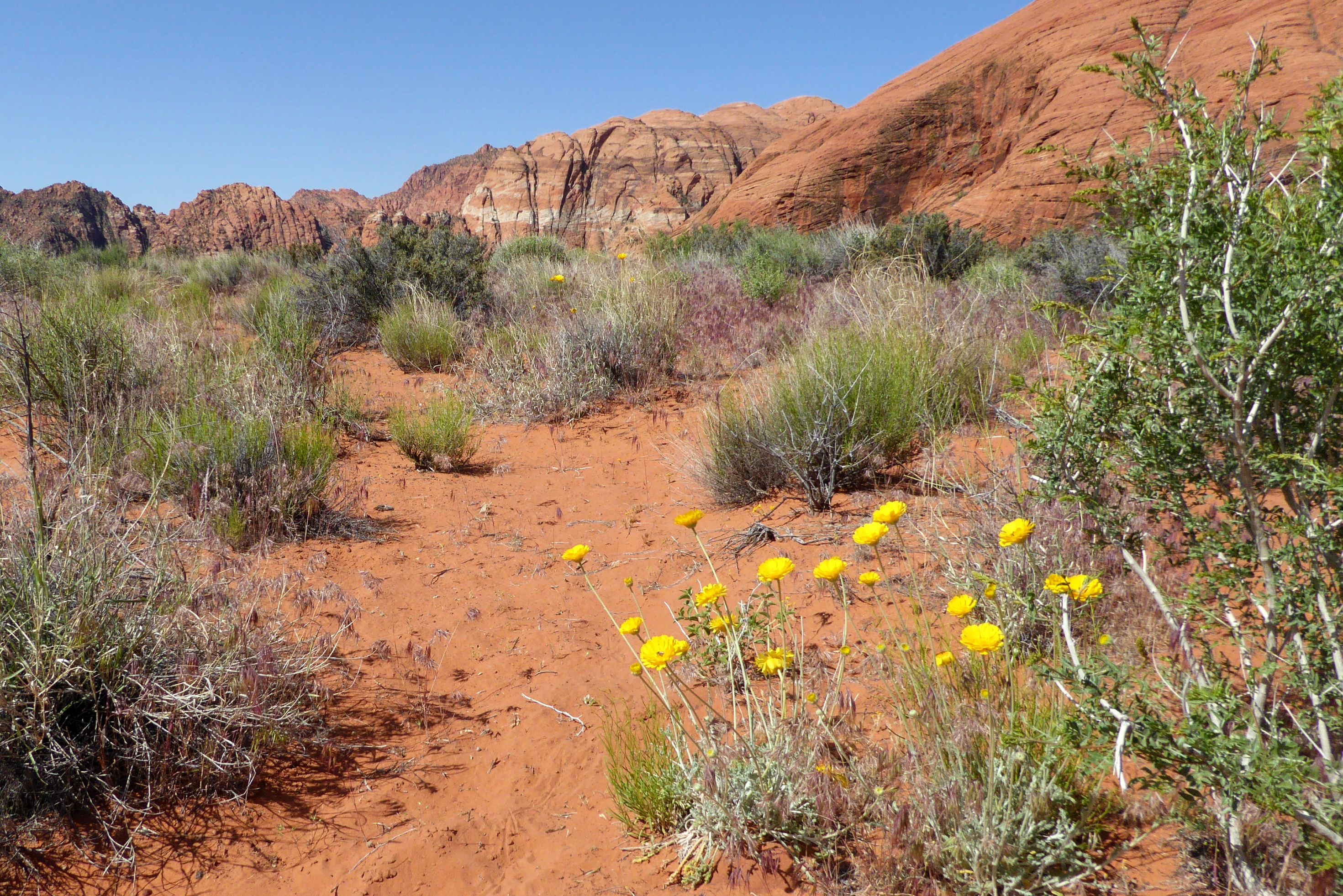
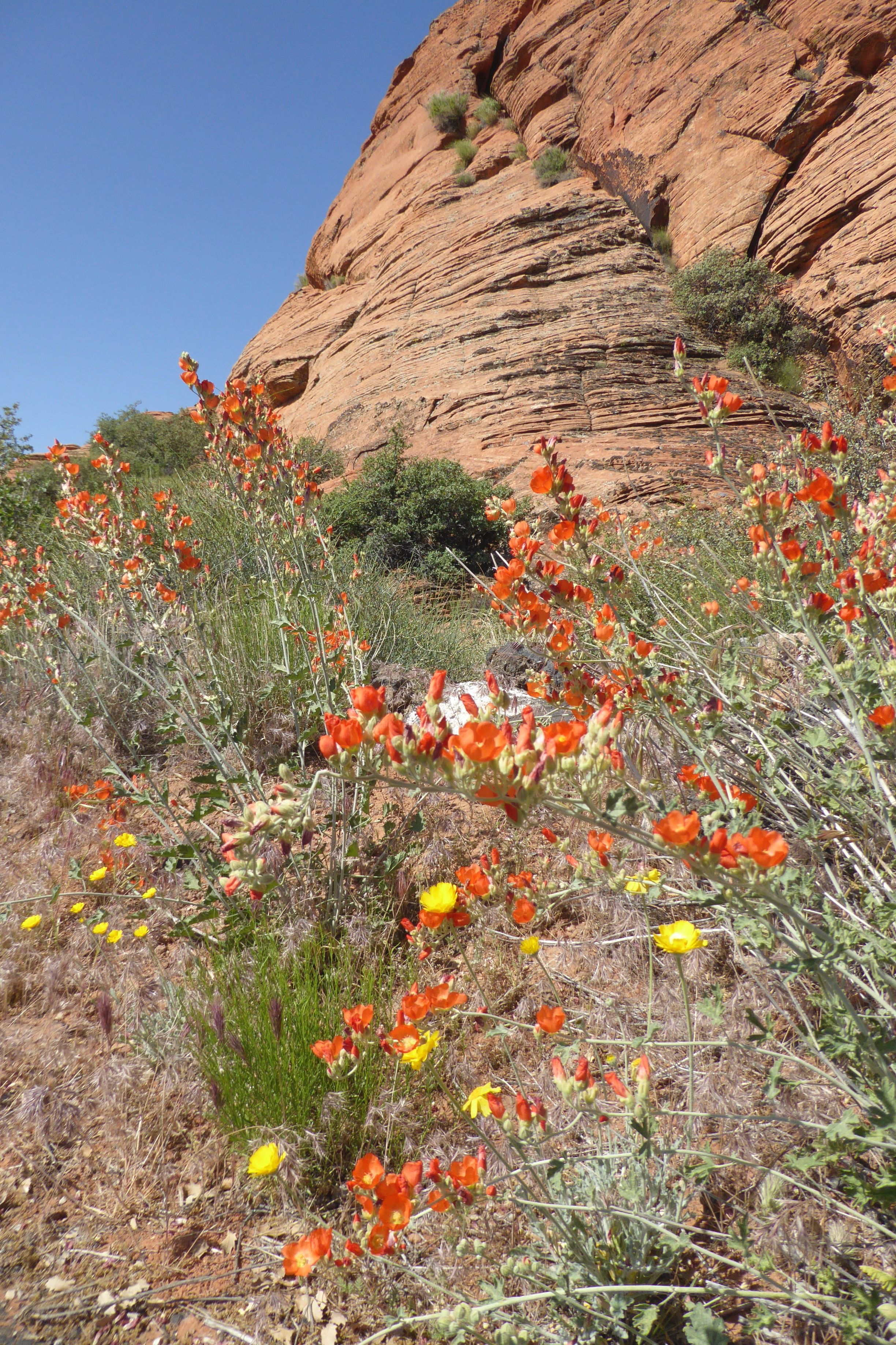
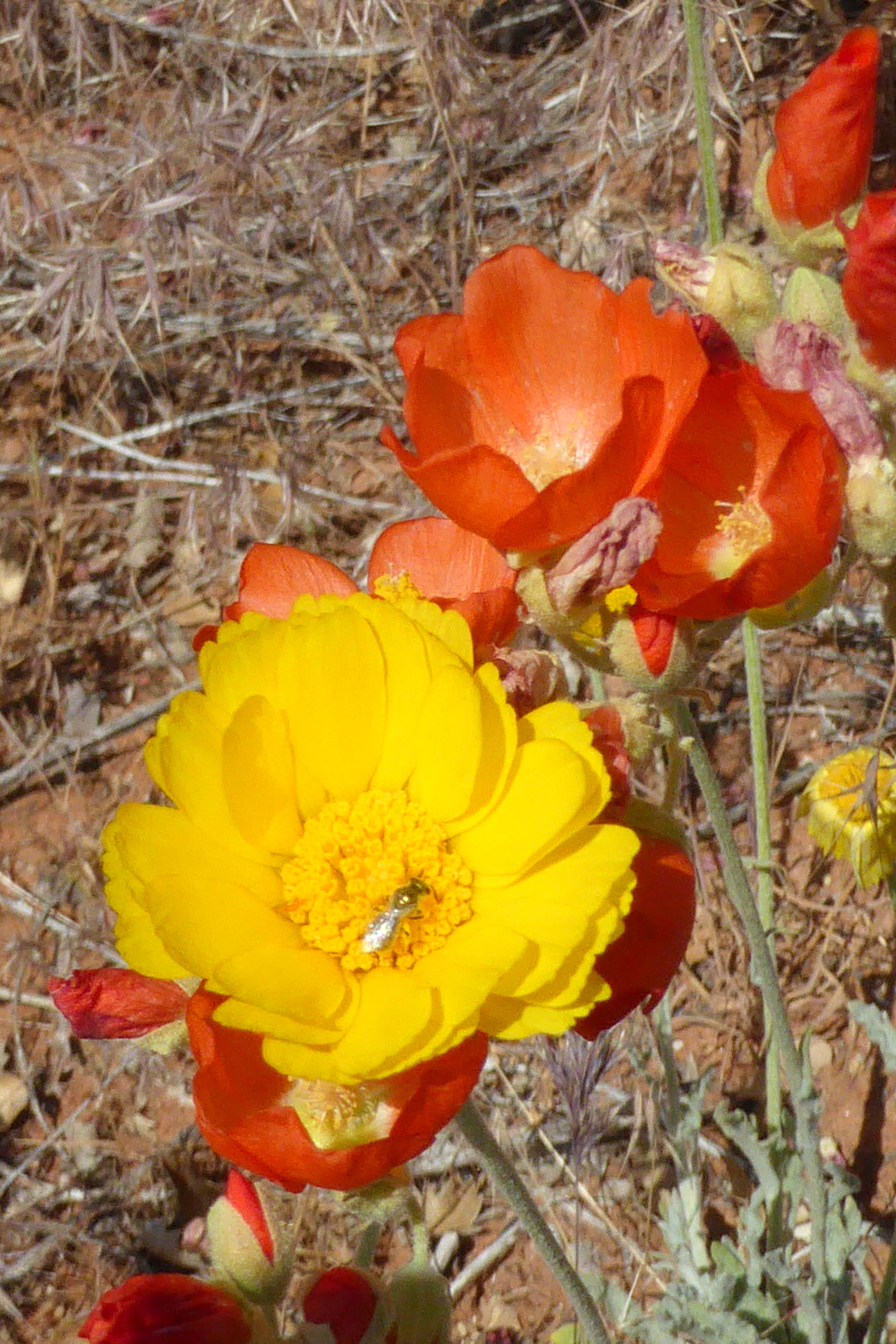
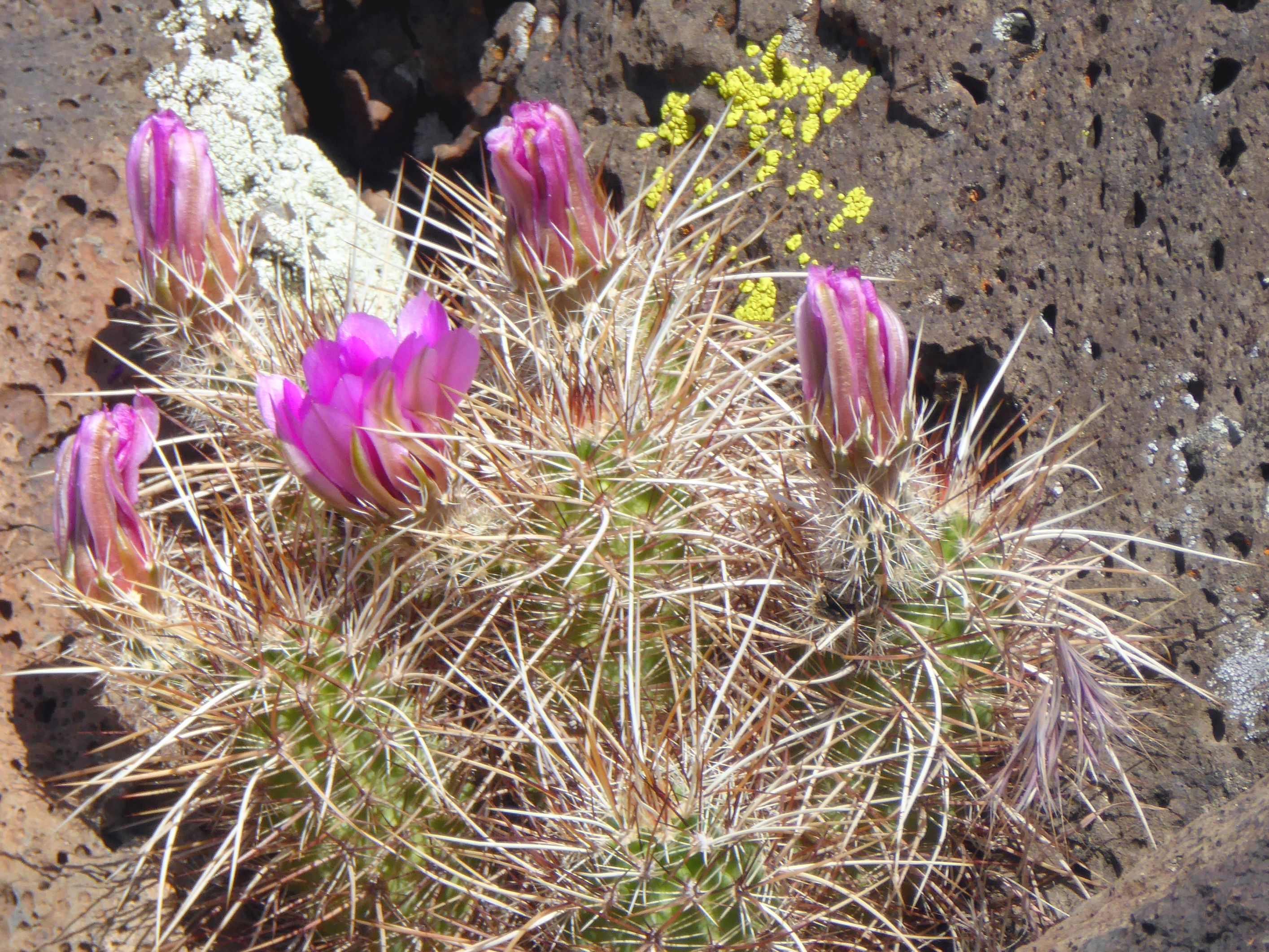
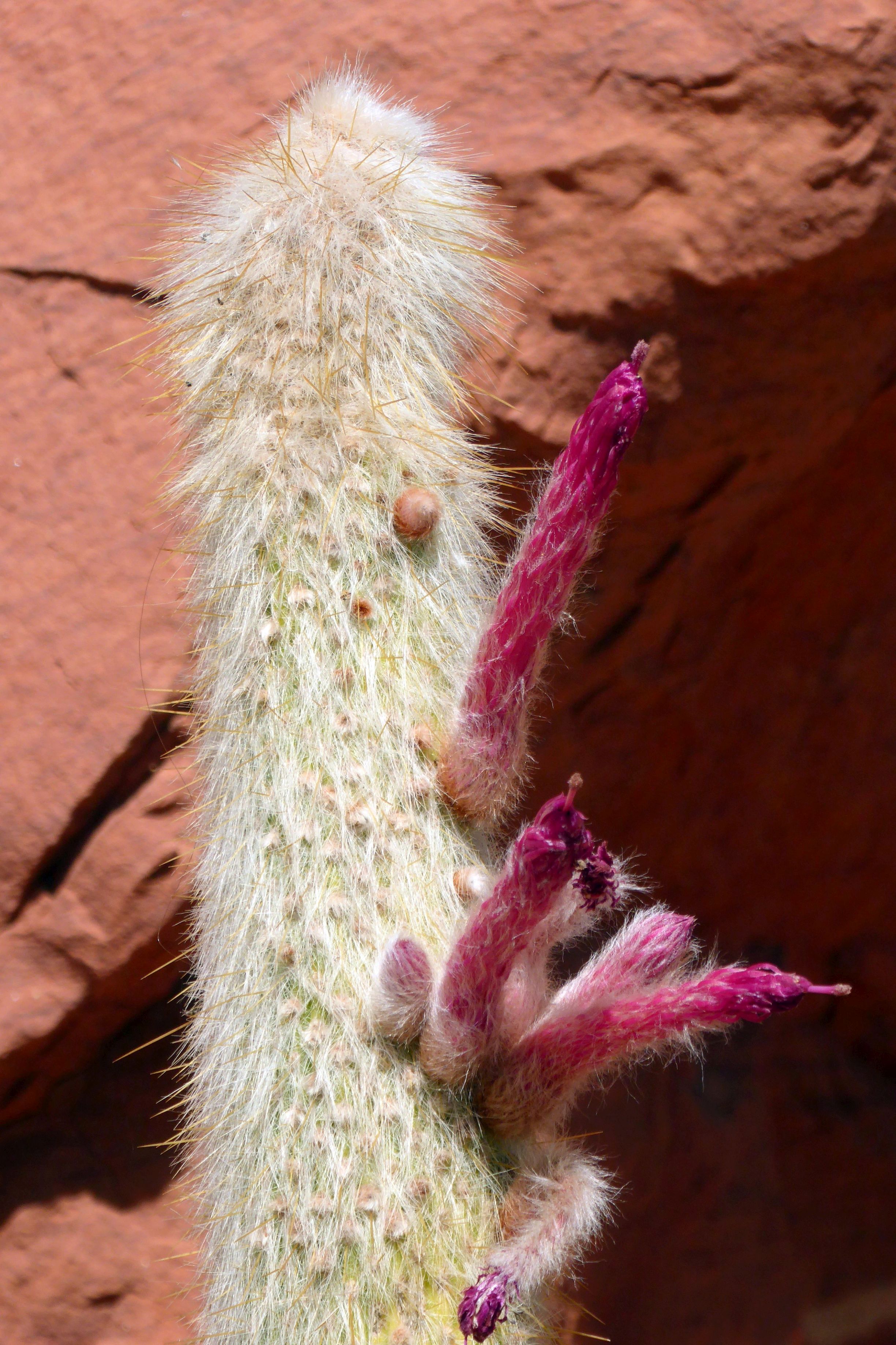
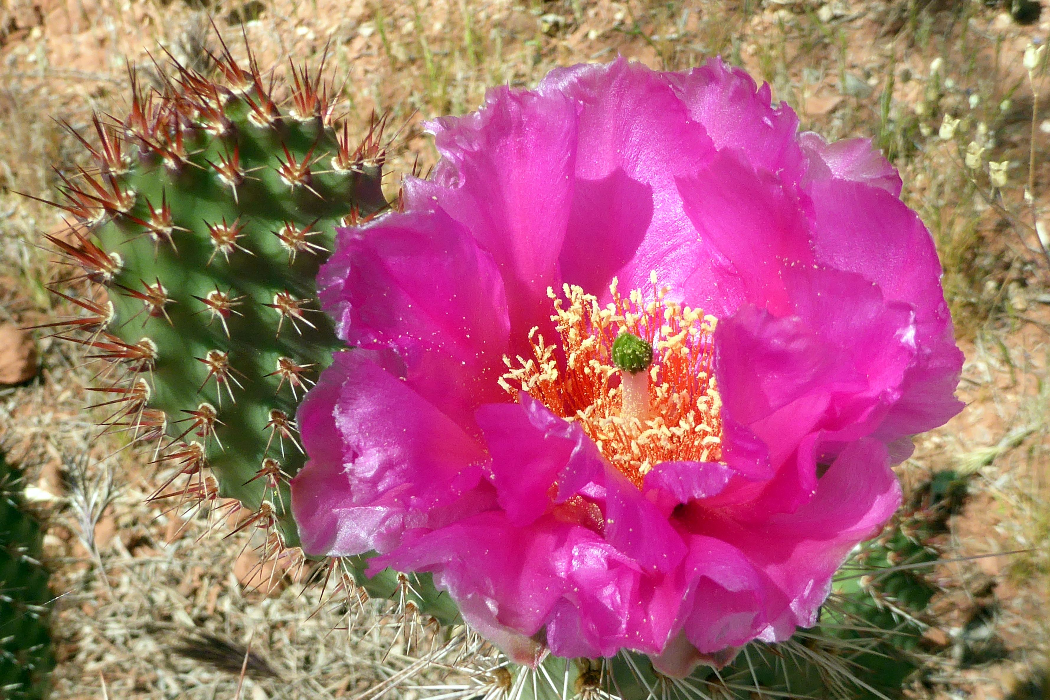
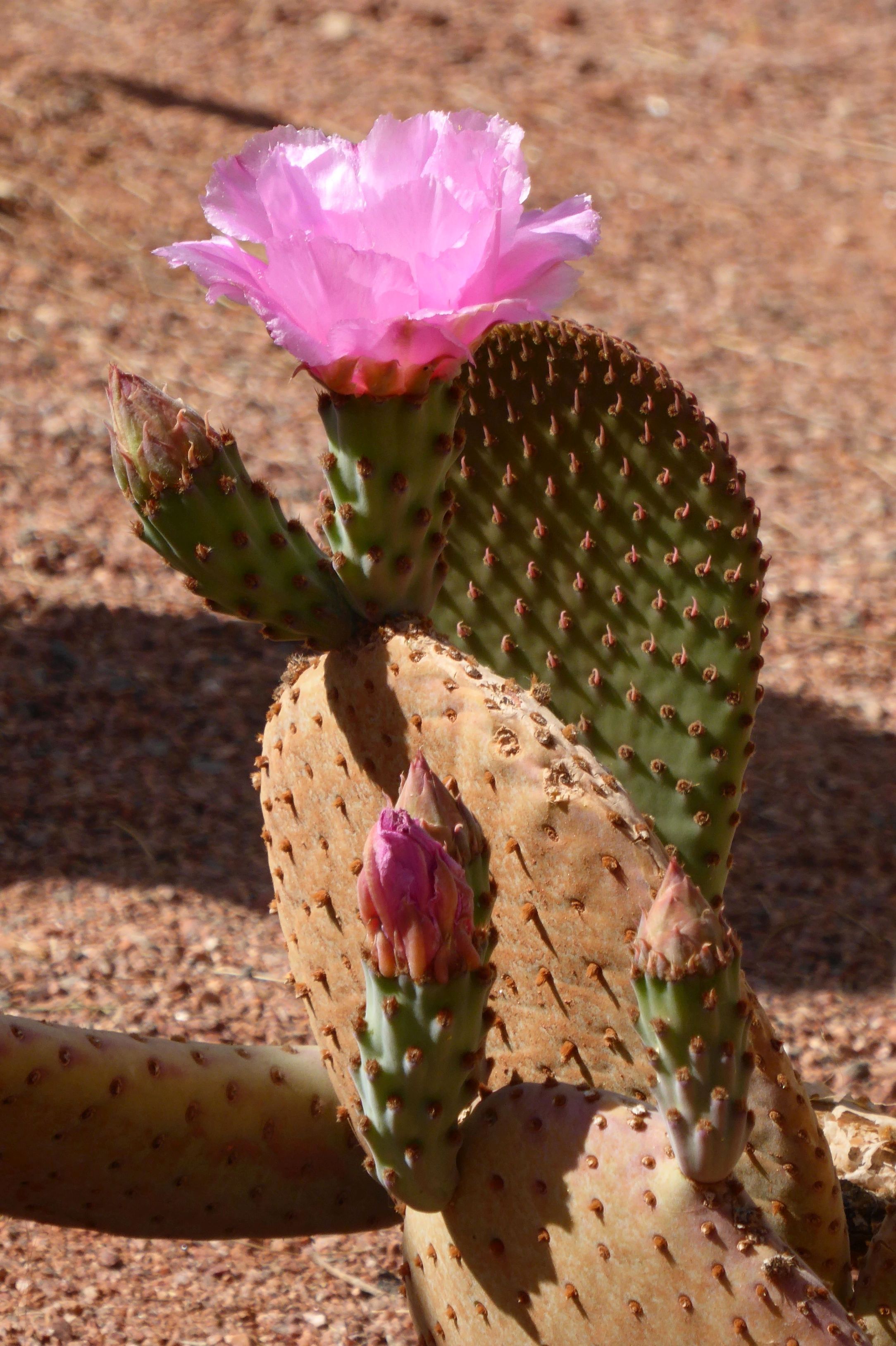
After getting a birds-eye view of the park, we went to the floor of the park’s canyon to walk a path and get close-up views of the beautiful spring desert flowers and sandstone formations. The moon was still visible against the clear blue sky, so the group enjoyed taking strategically framed photos along the way.
The black is volcanic rock.
The moon is just above the rock formation on the left.
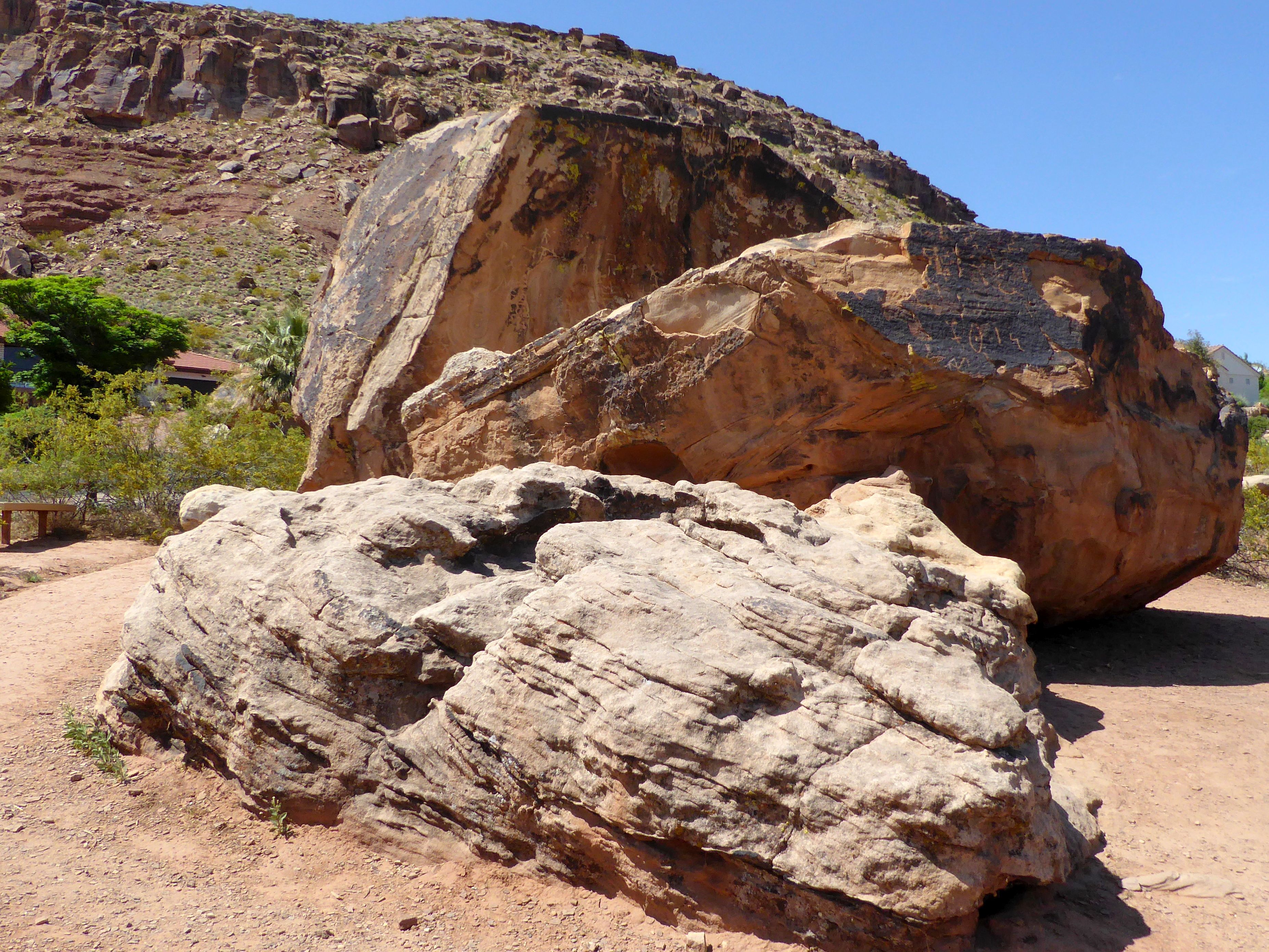
We also visited Bloomington Petroglyph Park, a very small park located in the middle of a subdivision! It was sad to me to see houses surrounding such a historical site!
You can see a small section of a roof of one of the houses surrounding the park. I did my best to cut them out of my photos!
The ½ acre park highlights large boulders with petroglyphs. These carved images tell the stories of ancient peoples. Many of these carved images are of humans and animals as well as what is believed to be early trail maps. The history of these petroglyphs is unknown; however, other petroglyphs in Utah are around 2,000 years old.
(Unfortunately, the petroglyphs have been vandalized, so there are also initials carved into the rocks.)
Less than three weeks after returning from Italy, we were off again to see the Grand Circle of Utah’s National Parks, along with a few state parks and monuments. This time, we did a small group tour with Road Scholar, although “small group” amounted to 24, instead of 16 like we had in Italy with Overseas Adventure Travel.
This was a completely different type of trip than Italy. Instead of a focus on the culture, cultural connections with the locals, connections with our tour leaders, incredible food, and beautiful historic sites; Utah was all about the gorgeous scenery and photography. If you would like to see more pictures and read less stories, join me for a tour of Utah’s most beautiful parks.
We arrived a day early ahead of the tour, so we could explore a little on our own and relax before joining what would be a busy tour. The first flight out got us in early to St. George, so we checked in at our hotel (which, thankfully, was happy to accommodate us ahead of check-in time), and hopped on a bus to town. From there, we walked up to Red Hills Desert Garden, which was ranked #1 on Trip Advisoras a “Traveler Favorites” for St. George. It was a free attraction, the weather was gorgeous, the spring flowers were in bloom, and we were up for a walk after the flight; so, what could be better than that?
Trip Advisor rarely disappoints, and the reviews were spot-on this time. It was gorgeous there! It was such a beautiful and peaceful place to wander around or sit on a porch swing and relax. I chose to put my camera in action:
(For all pictures, click on the image to see full screen view.)
This is behind Red Hills Desert Garden, a beautiful backdrop!
This, Allen, is for you, King Frog!
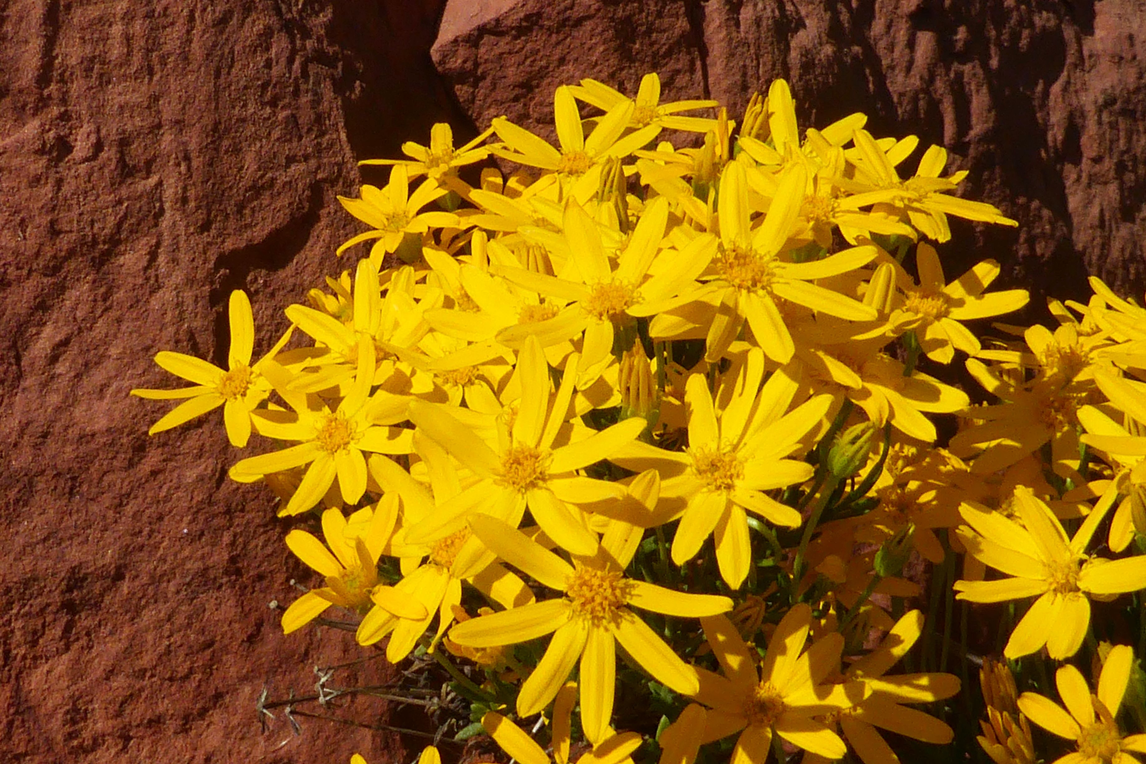
Apache Plume
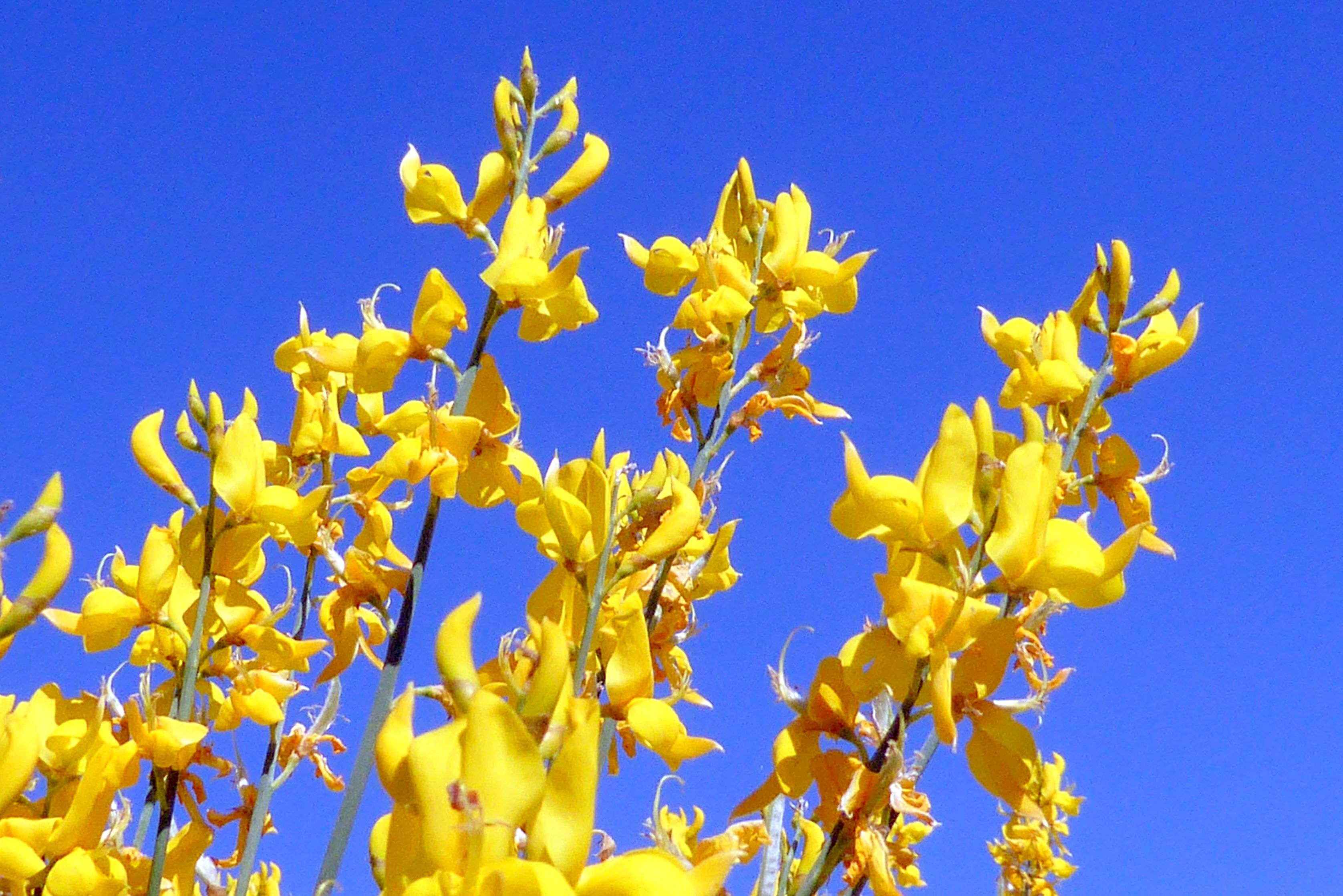
Desert Museum Palo Verde
On our way back to the bus terminal, we passed by the power station and saw this “linesman” made out of parts used on power lines. Clever!
Mee-meep! Watch out for Roadrunner! This guy was out in the parking lot of the hotel.
Little did I know, the garden was on the program for the following afternoon with the group, so we returned for another visit. These are my afternoon photos:
Coming up next: Snow Canyon State Park and Bloomington Petroglyph Park
What do storks have to do with the making of parmesan cheese? Read on to find out!
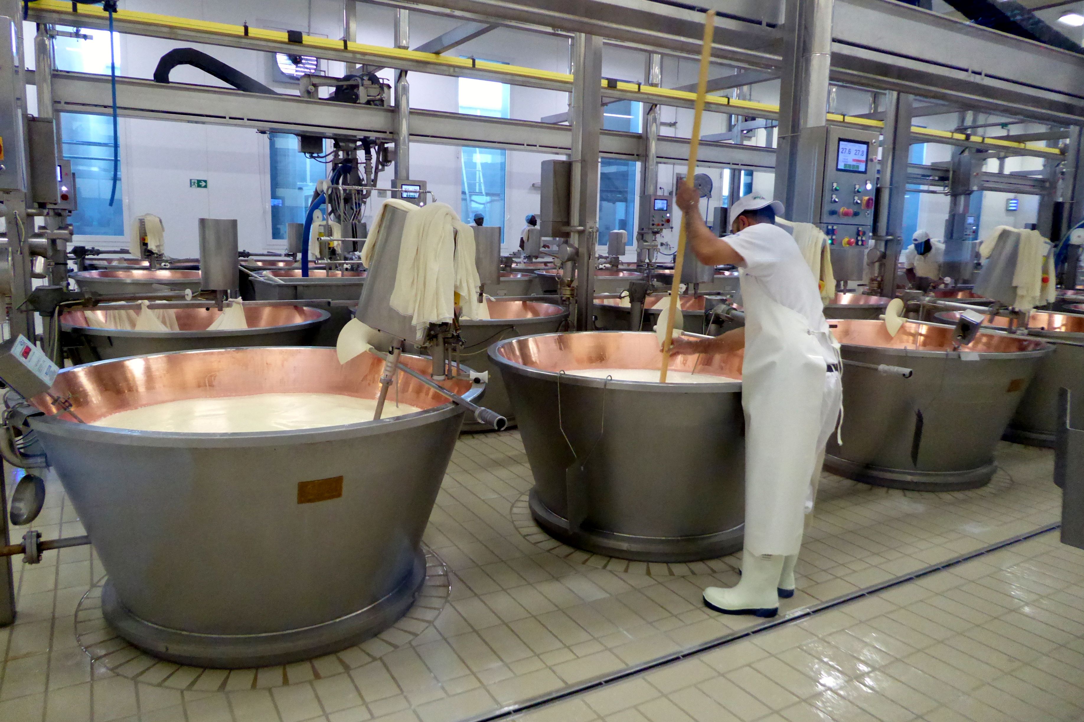
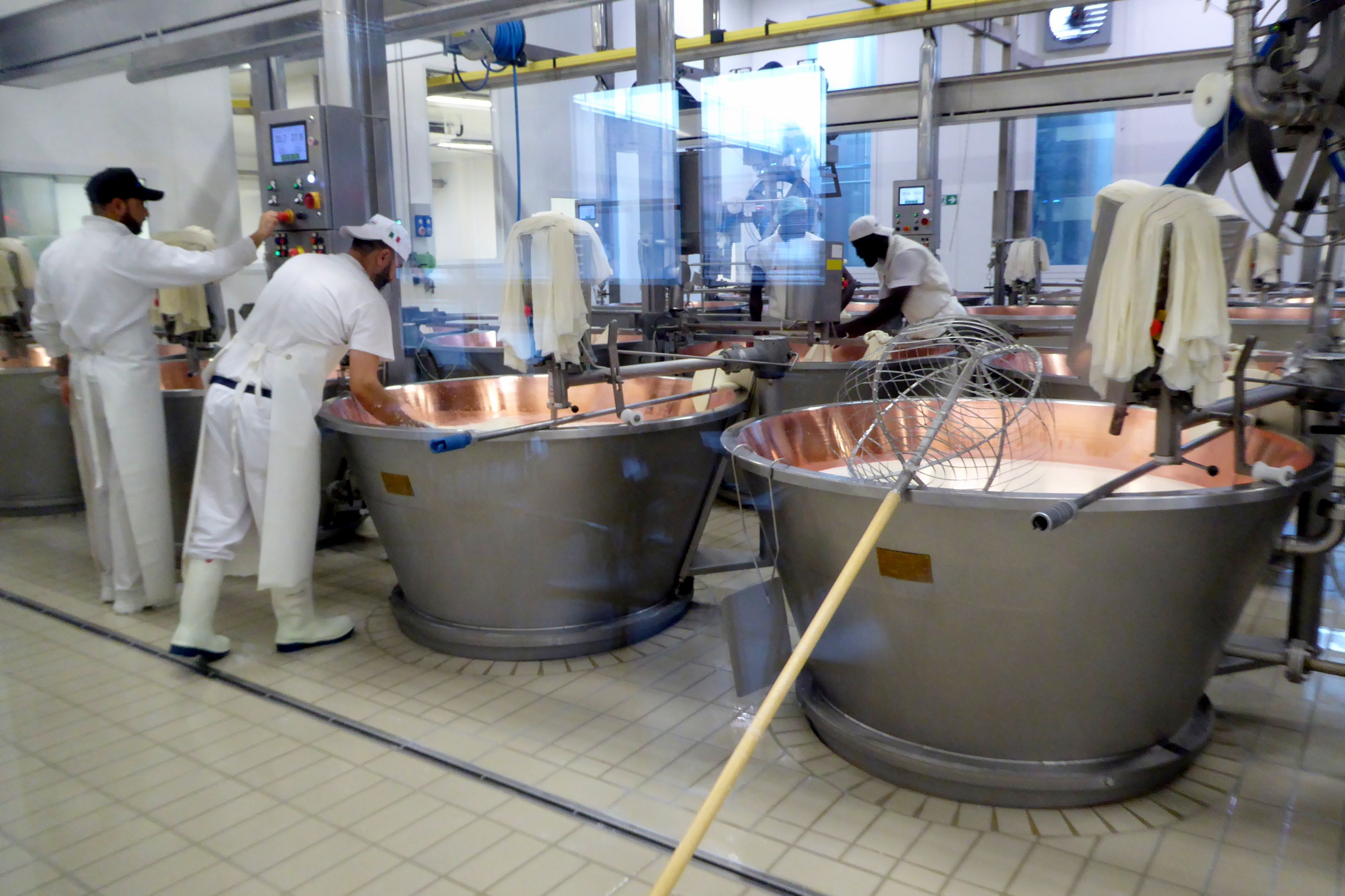
On our way from Bologna to Parma, our group made a couple of stops along the way to learn about the making of parmesan cheese and balsamic vinegar. We began our day at Madonne Caseificio Dell’ Emiliafor a tour of their parmesan making factory. Our guide was excellent; a wealth of interesting information. As we watched from behind large windows, she explained the process in detail.
(For all pictures, click on the image to see full screen view.)
First, it is important to note they make Parmigiano (Parmesan) Reggiano, which can only be produced in the Emilia-Romagna region with cows from those region, although the cows can be different breeds. The cheese is named after two of the provinces in that region, Parma and Reggiano.
“Parmigiano Reggiano” and “Parmesan” are protected designations of origin for the cheeses under Italian and European law. Outside the EU, all bets are off, so we aren’t talking here about that powdery stuff you buy at Walmart in the green can, folks.
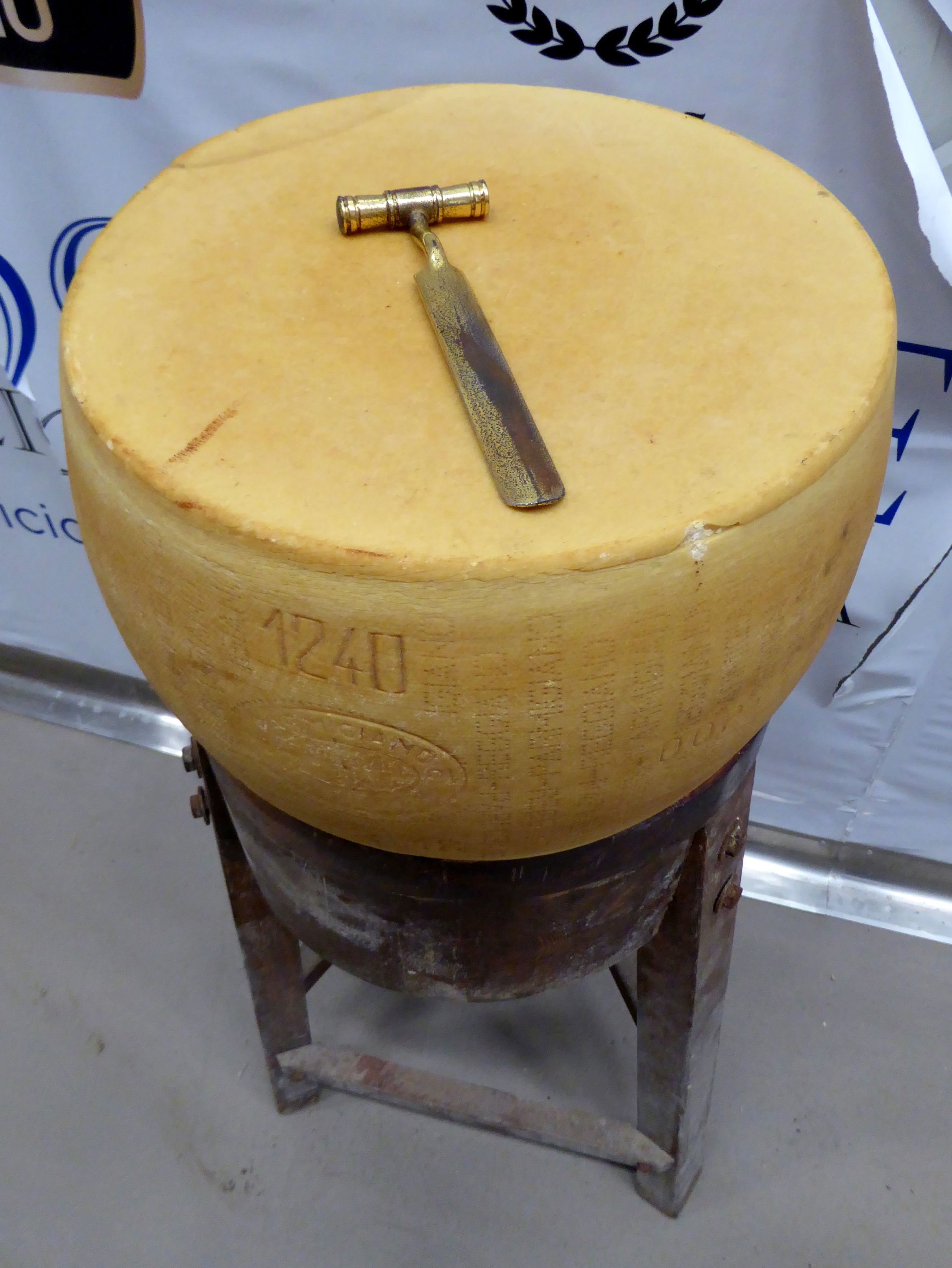
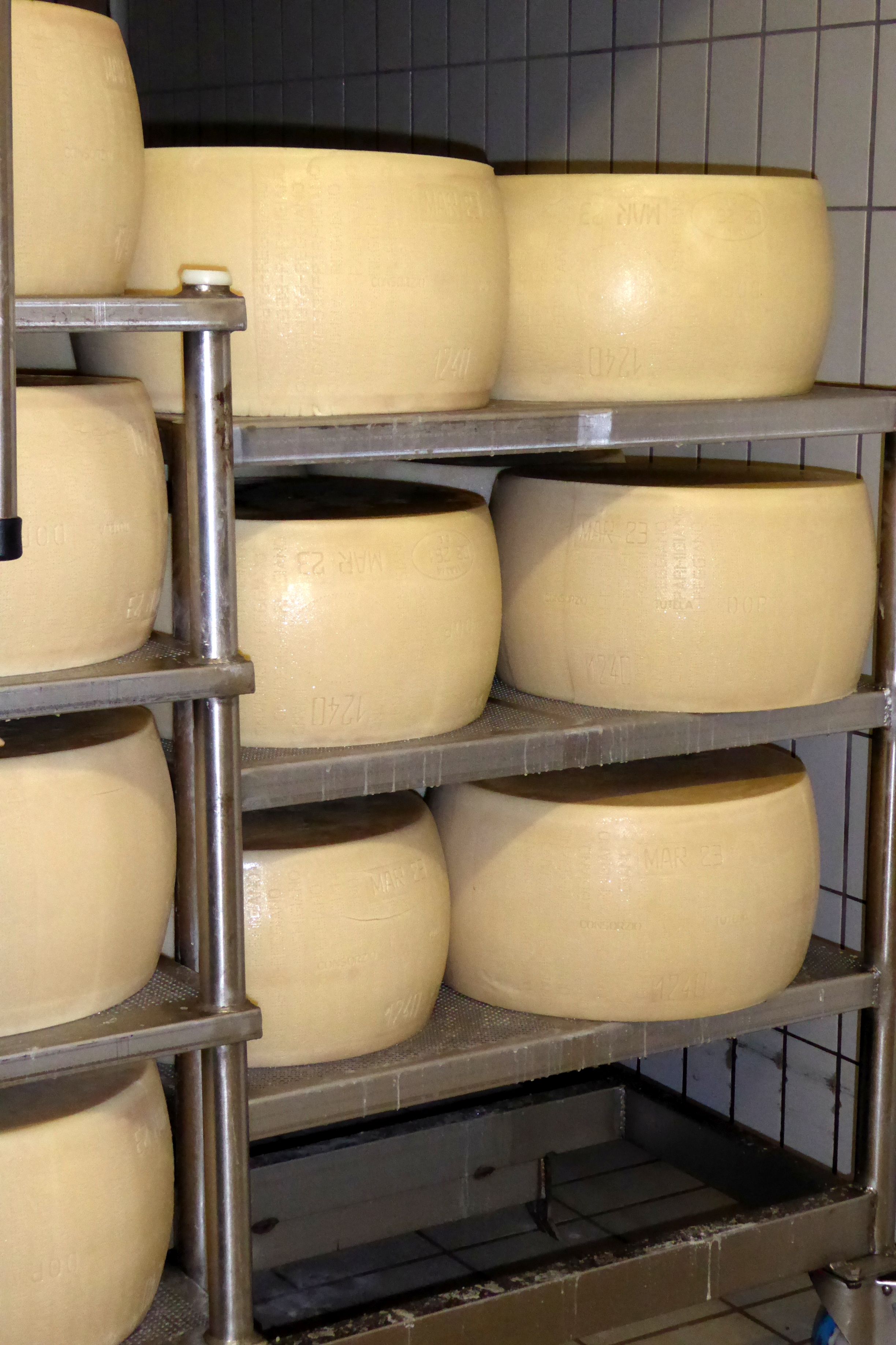
Parmesan Reggiano must be aged a minimum of twelve months, although it is typically sold after 24 to 100 months of aging. Every cheese wheel is inspected by hand under strict regulations, and if it passes inspection, it receives a certification and serial number, which is stamped on the side of the wheel, along with the date of production. This firebrand is proof the wheel is the real deal—and, excellent quality.
During the inspection process, a special hammer is used to tap on the wheel. The sound made is indicative of the quality, and we were taught what the perfect parmesan wheel should sound like when it is tapped.
A wheel of cheese typically weighs about 92 pounds; however, the older the wheel, the drier and smaller it will be. It will also make a higher-pitched sound when tapped with the hammer.
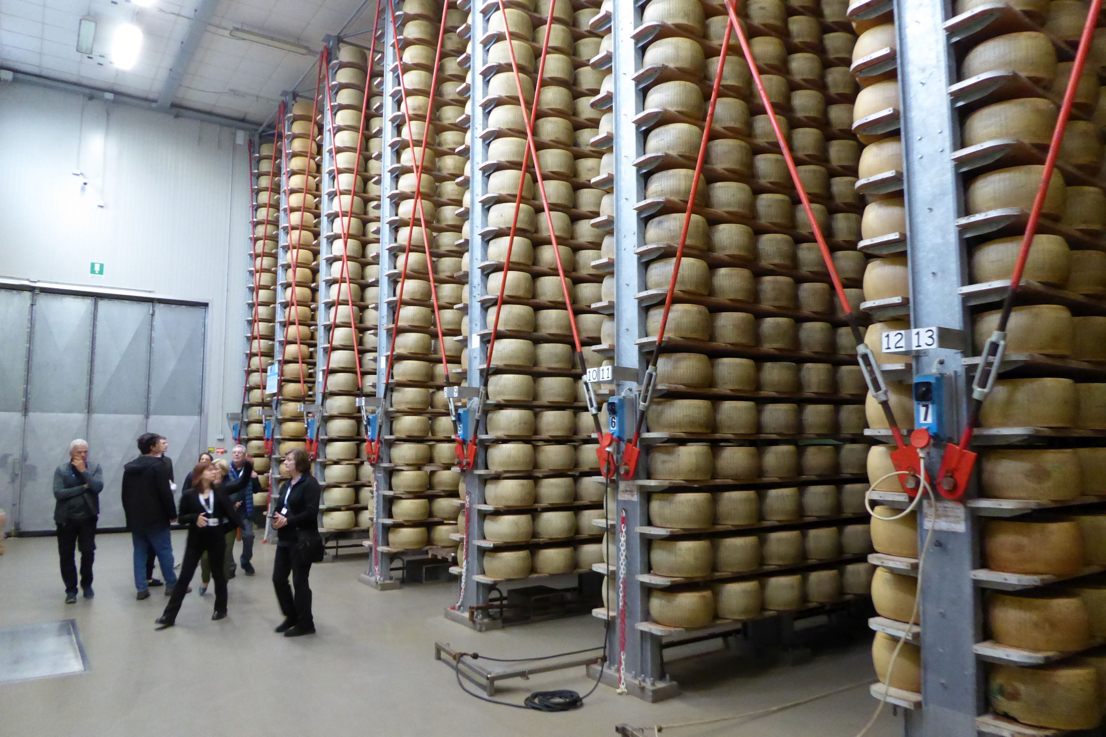
These cheese wheels are valuable! Depending on the age, a wheel of Parmesan Reggiano can cost anywhere from $550 to $2,000. The inventory of cheese in Madonne’s huge store room is worth more than $17 million, if you price them each at $550! (5% of the 33,000 wheels fail the monthly inspection.)
Back to the cheese-making process, that guy in the black hat is the Cheese Master. It takes fifteen years of experience to get to that level, so he is an expert at overseeing his team and the cheese.
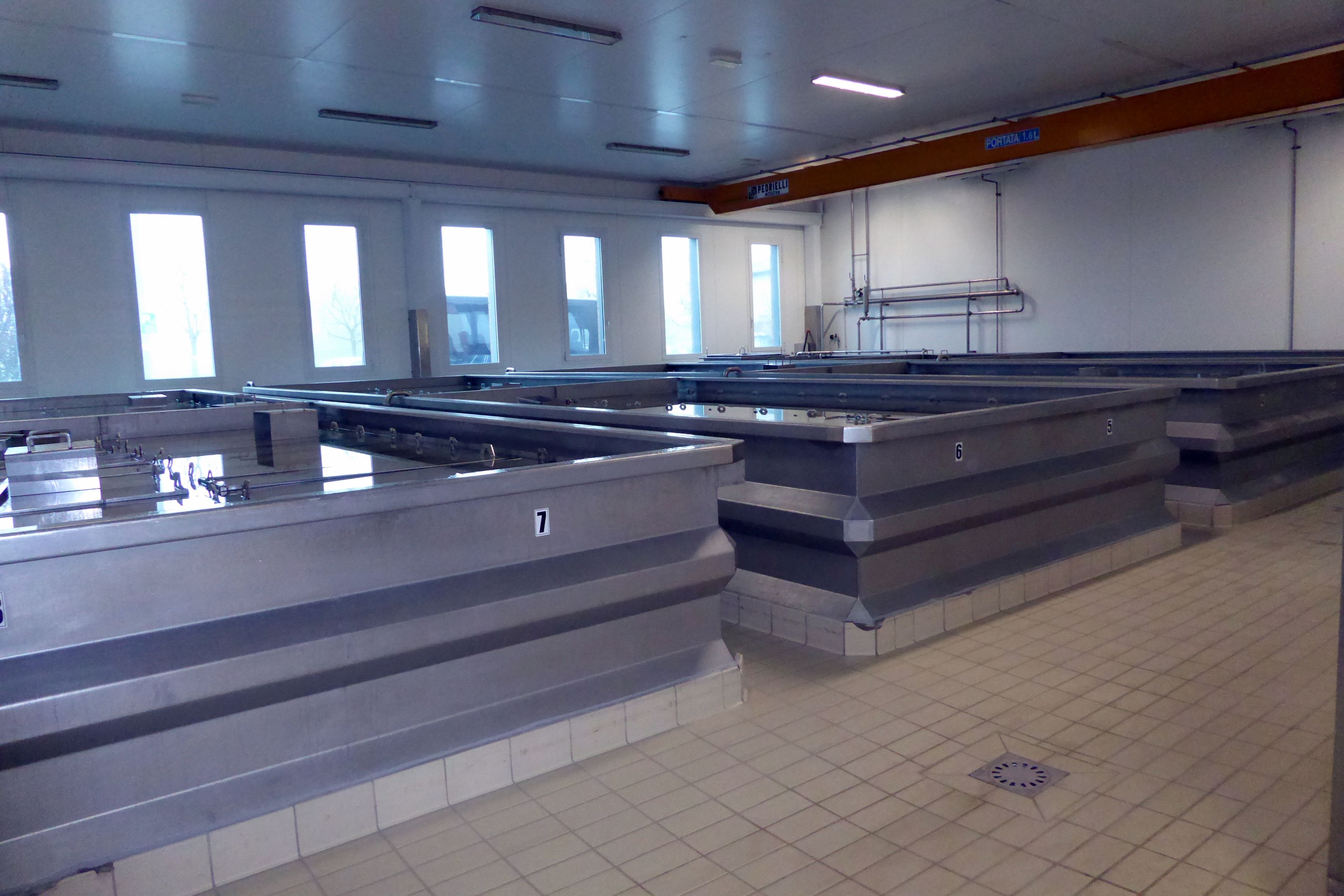
Those big vats you see contain about 290 gallons of part skim mixture of cow’s milk. It is heated, and then whey is added and the temperature raised. Calf rennet (enzymes) is then added, and the mixture curdles for 10-12 minutes. The curd is then broken up mechanically into small pieces, and the temperature is raised again. It is left to settle for 45-60 minutes. Next, those workers in the next row of vats are taking the compacted curd, dividing it into two parts, and wrapping each one in muslin, which will be placed in molds. Eventually, they will become two wheels of cheese.
But, wait! What about the stork? Our knowledgeable—but serious—tour guide, explained in a very straight-faced way that the “stork” carries the “twins” off into the next room where they are placed in molds. She said this without cracking a smile. We thought it was hilarious! The jokes started flying, Bruce and Oscar were cracking me up.
After seeing the room where the “twins” were placed in molds with a weight put on top, we were led to the next room where our guide explained the wheels were placed in massive tanks of brine to absorb salt for 20-25 days. I couldn’t resist. “Is this where the twins take their naps?” We joked about the stork and twins for the remainder of the trip.
Next, the cheese wheels are transferred to aging rooms for 12 months for another nap. (When they were in their molds, the “twins” were named by being imprinted with “Parmigiano Reggiano,” the plant’s number, and the month and year of production.)
The final nap takes place in that huge “nursery,” where they are placed on wooden shelves. At 12 months, they will be inspected by the Consorzio Parmigaino Reggiano. The wheels that pass inspection get heat-branded with the Consorzio’s (consortium) logo. And, that my friends, is how babies—uh, Parmesan Reggiano cheese wheels—are made.
This is a picture of a photo they had on display. Two earthquakes in May of 2012 seriously damaged two of their three plants, and many cheese wheels were destroyed.
After sampling various ages of Madonne’s delicious cheese, we were off to learn how the Malpighifamily has been making balsamic vinegar in Modena, Italy since 1850.
Check out the balsamic vinegar in your kitchen. If cooked grape juice isn’t the first ingredient, it is not a good-quality vinegar. It shouldn’t have caramel or other additives.
The best Italian balsamic vinegar is from the Modena region, and the grapes must be from that region. It is aged for a minimum of twelve years. Different woods are used for the barrels, and after one year of aging, a percentage of the large barrel’s contents is transferred to a smaller barrel made of different wood. This process continues through a series of smaller and smaller barrels.
This particular oak barrel dates back to 1500, and is one of the oldest documented balsamic vinegar barrels. It is worth about $60,000! The tradition in Modena is for parents to buy a barrel for their newborn, fill it with their homemade balsamic vinegar, and let it age until their wedding day when it is shared with all the wedding guests.
When the vinegar is ready for bottling, it is sent to the consortium for evaluation by a panel of experts who do a blind tasting. If it passes, it is bottled and sealed at the consortium in clear spherical glass bottles with a rectangular base. Only this type of bottle is allowed and producers are identifiable by a small label on the bottle.
The color of the bottle cap distinguishes the age. A 25-year-old balsamic vinegar gets a gold-colored cap. Malpighi’s most-aged balsamic was on sale in their shop for Euro 450—more than $450!
We tasted several different varieties of Malpighi balsamic vinegars and enjoyed a wonderful lunch of various salads, meats, and cheeses paired with their vinegars. The most memorable was the balsamic-filled dark chocolates for dessert, following the fresh strawberries topped with balsamic vinegar! I purchased a box of those chocolates to bring home.
During our ride to Parma, it was very quiet on the bus as most of the group napped while I watched the beautiful scenery pass by.
Next up: PROSCUITTO IN PARMA—AND MORE!
Note: If small group travel is of interest to you, I highly recommend Overseas Adventure Travel (OAT). Although Bruce and I travel together, they do not charge a single supplement for those who travel on their own. Singles also get their own room at hotels. If you book, you can get $100 off your trip by providing my name and customer number (Elaine Krugman, #3018126) as the person who referred you. I will also get $100 off future travel– a win-win!
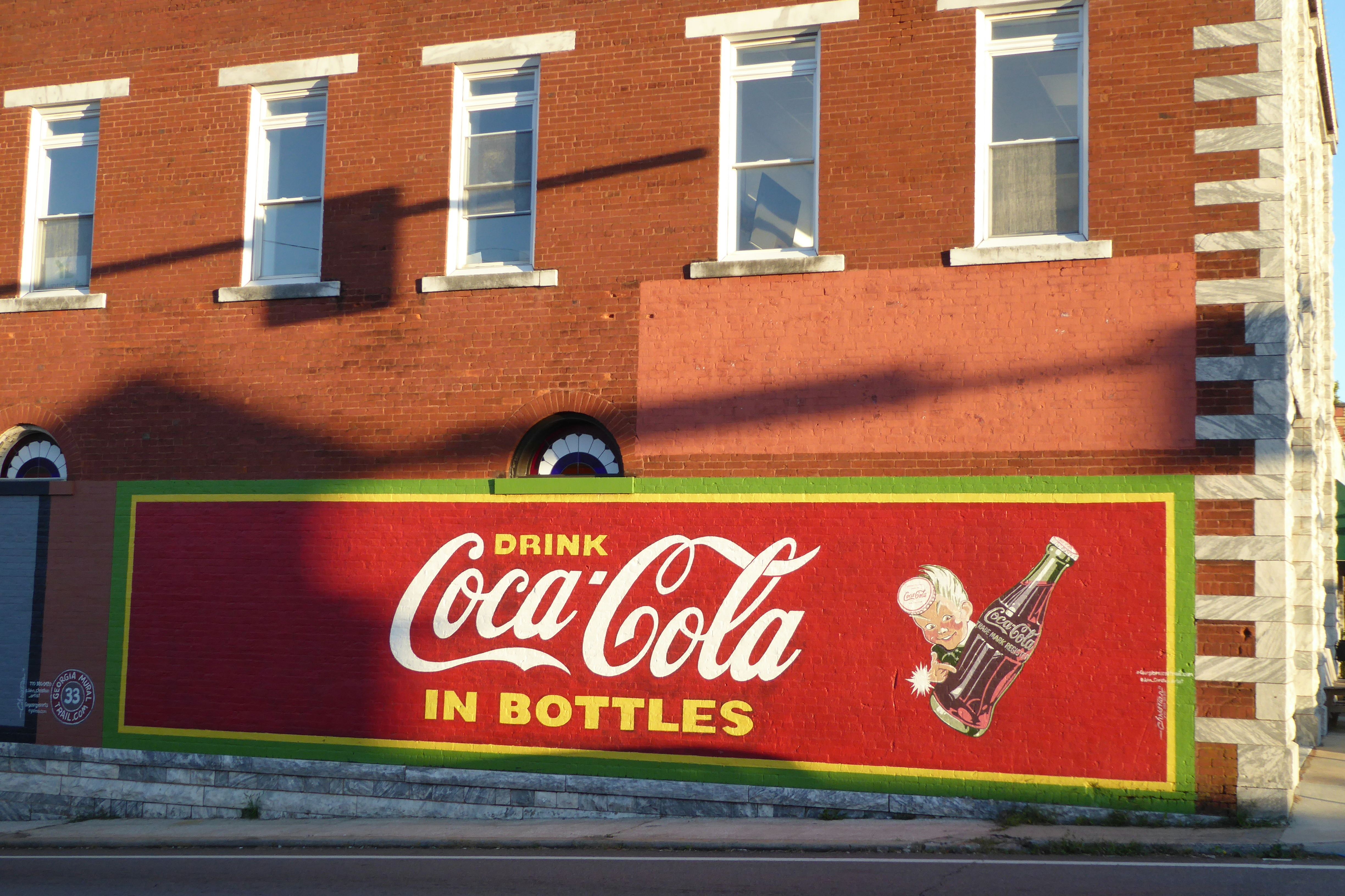
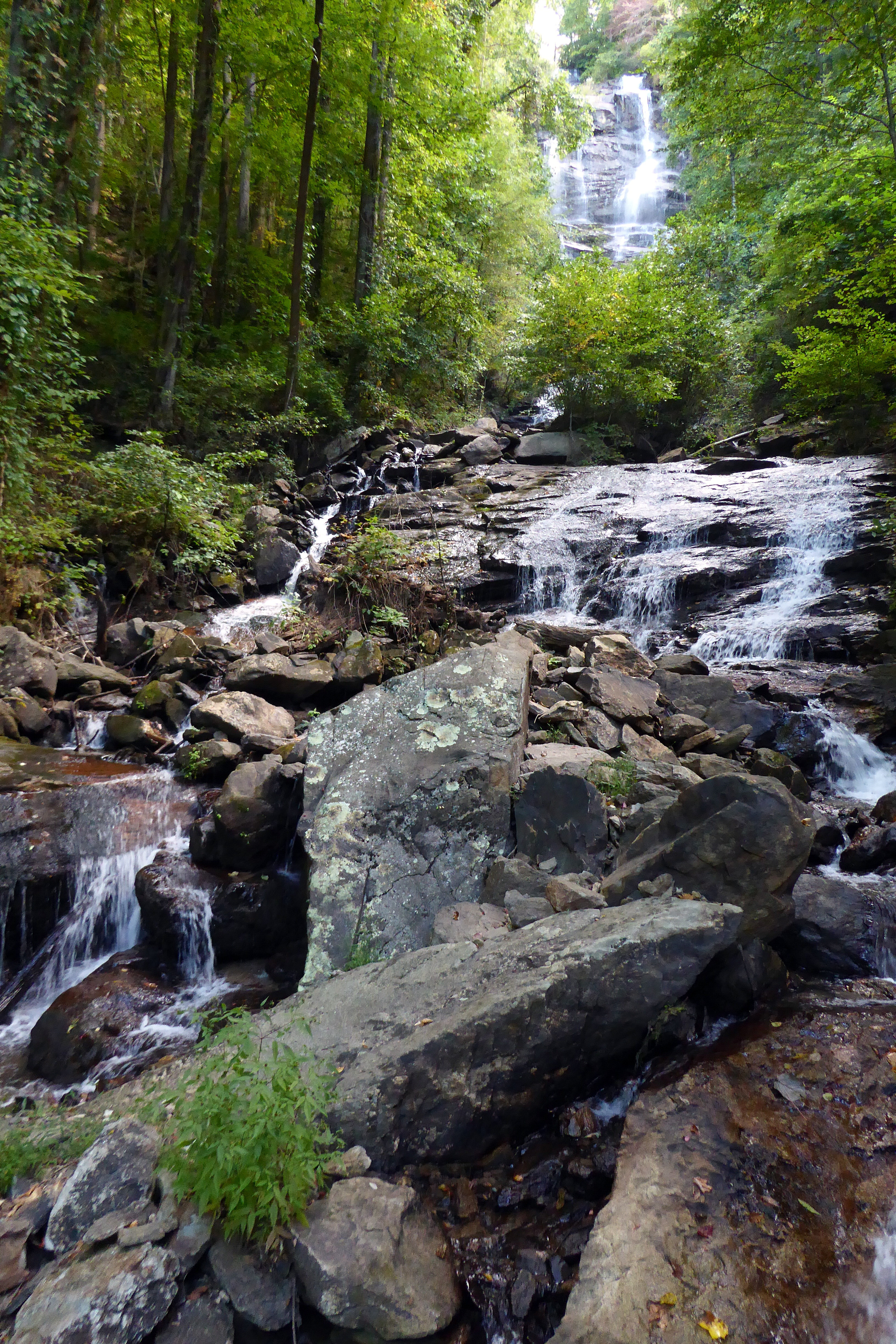
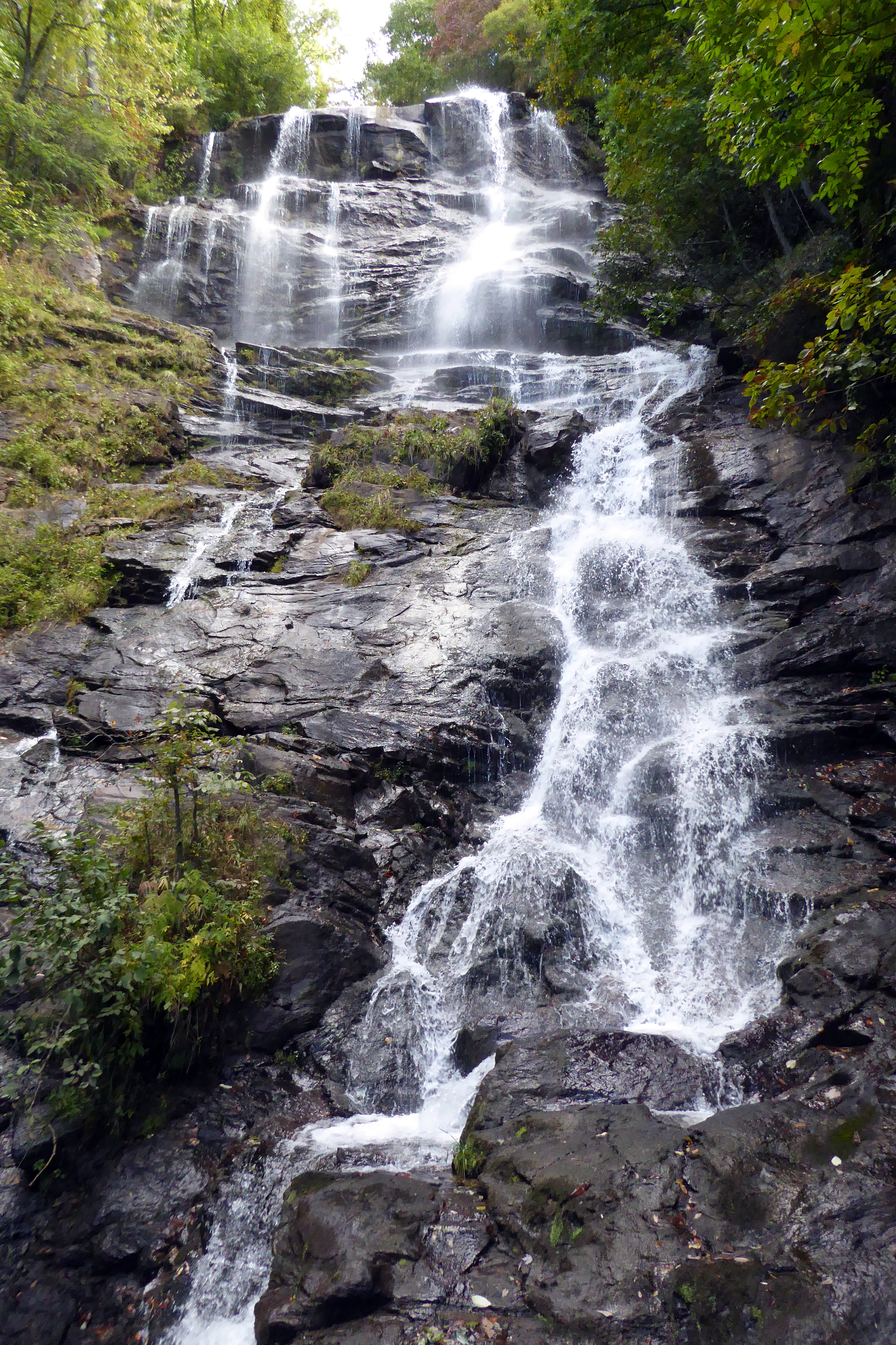
On October 1st, we took a quick overnight trip to North Georgia to return to a few favorite spotswe had visited during the same time period last year. Here are this years’ photo favorites:
This is one of three chickens that make themselves at home at the park and around the railroad track in Blue Ridge
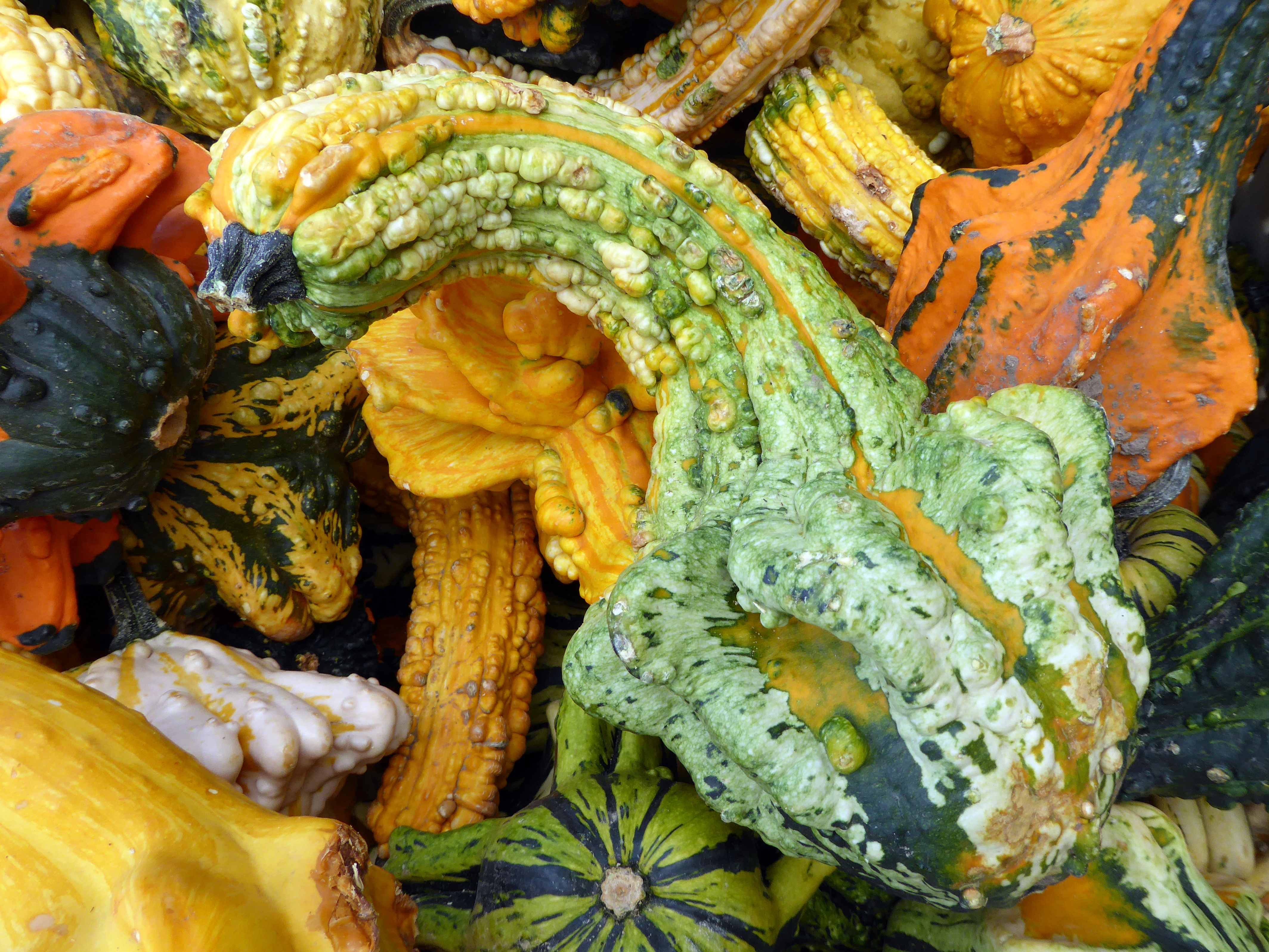
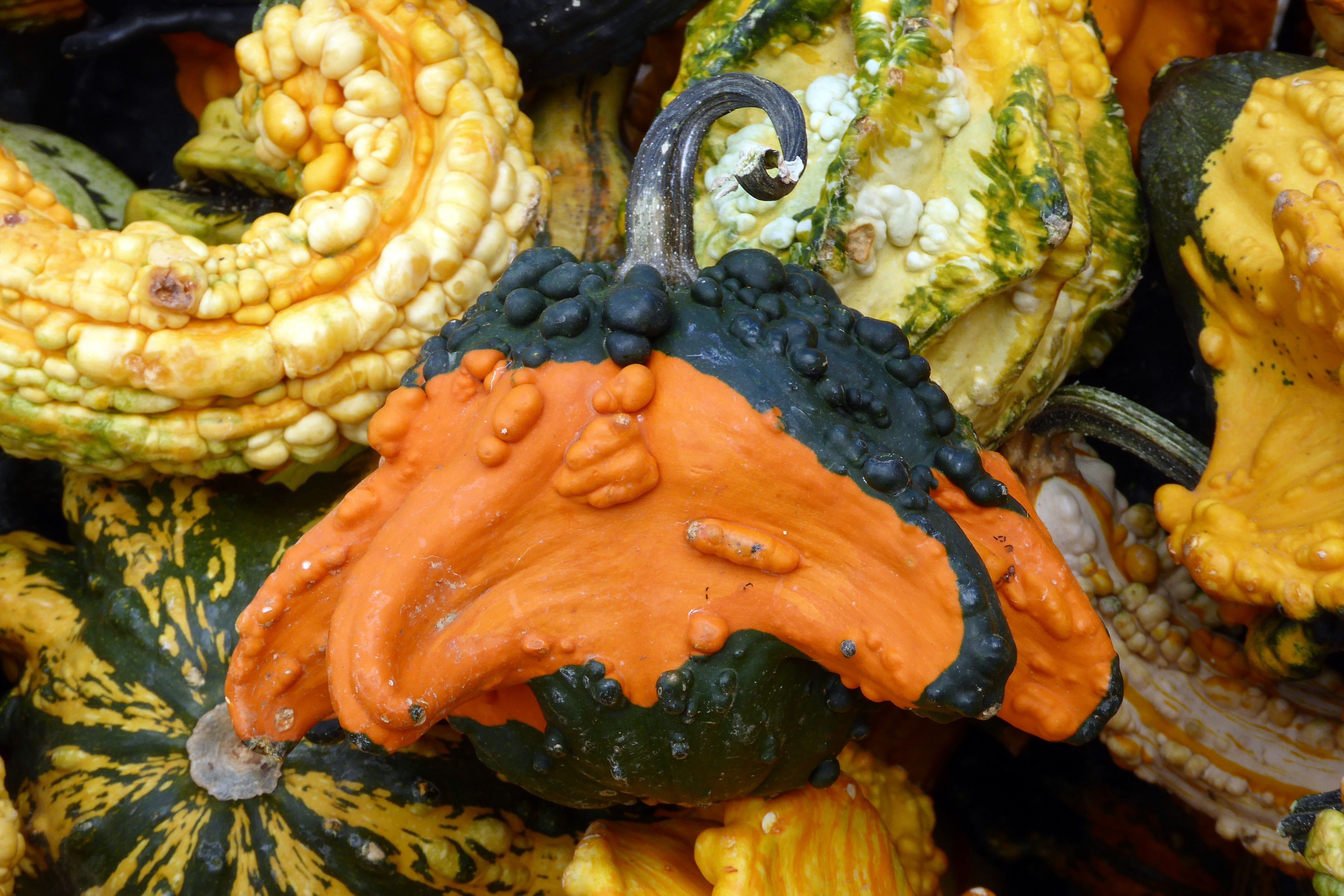
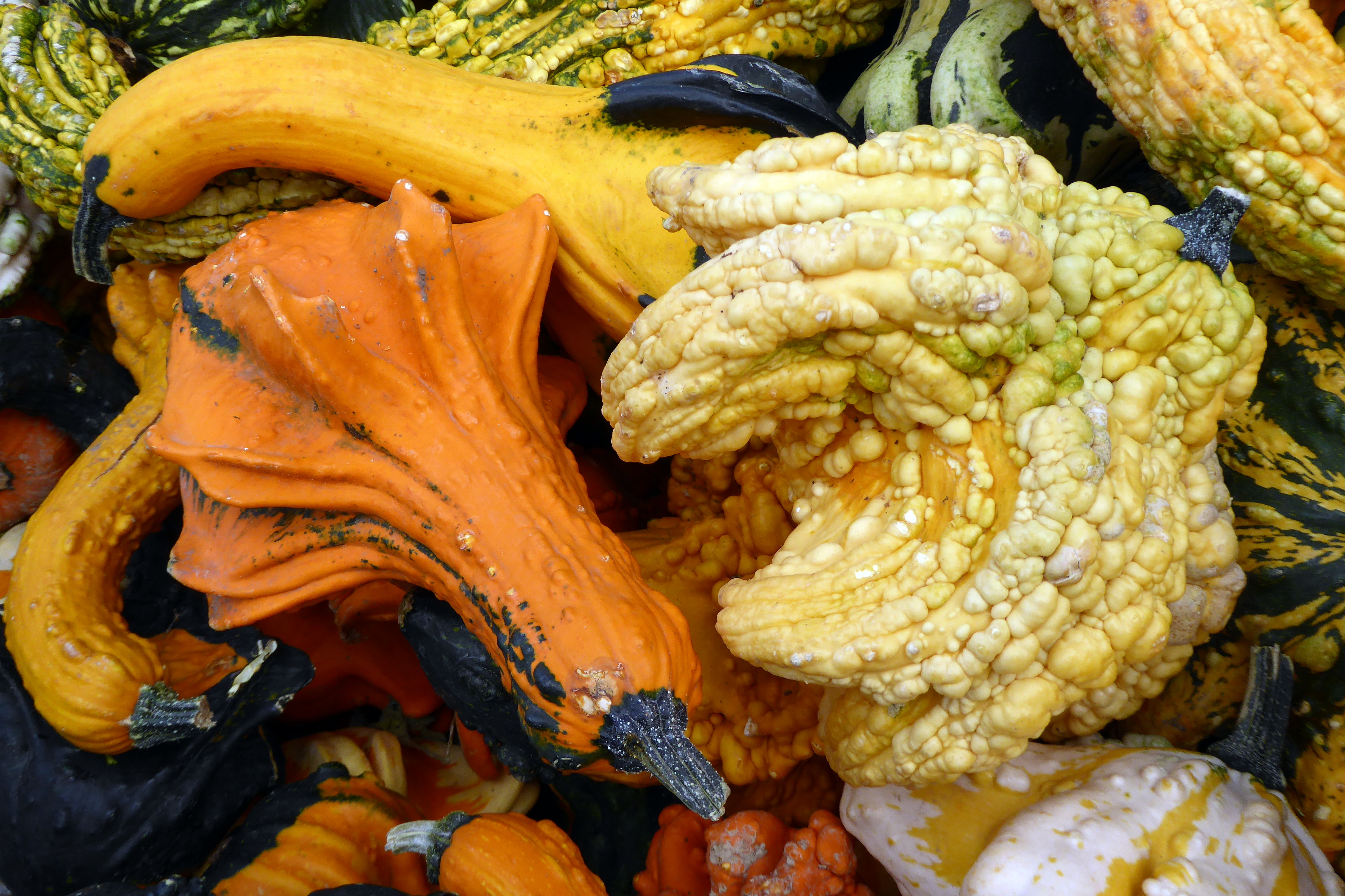
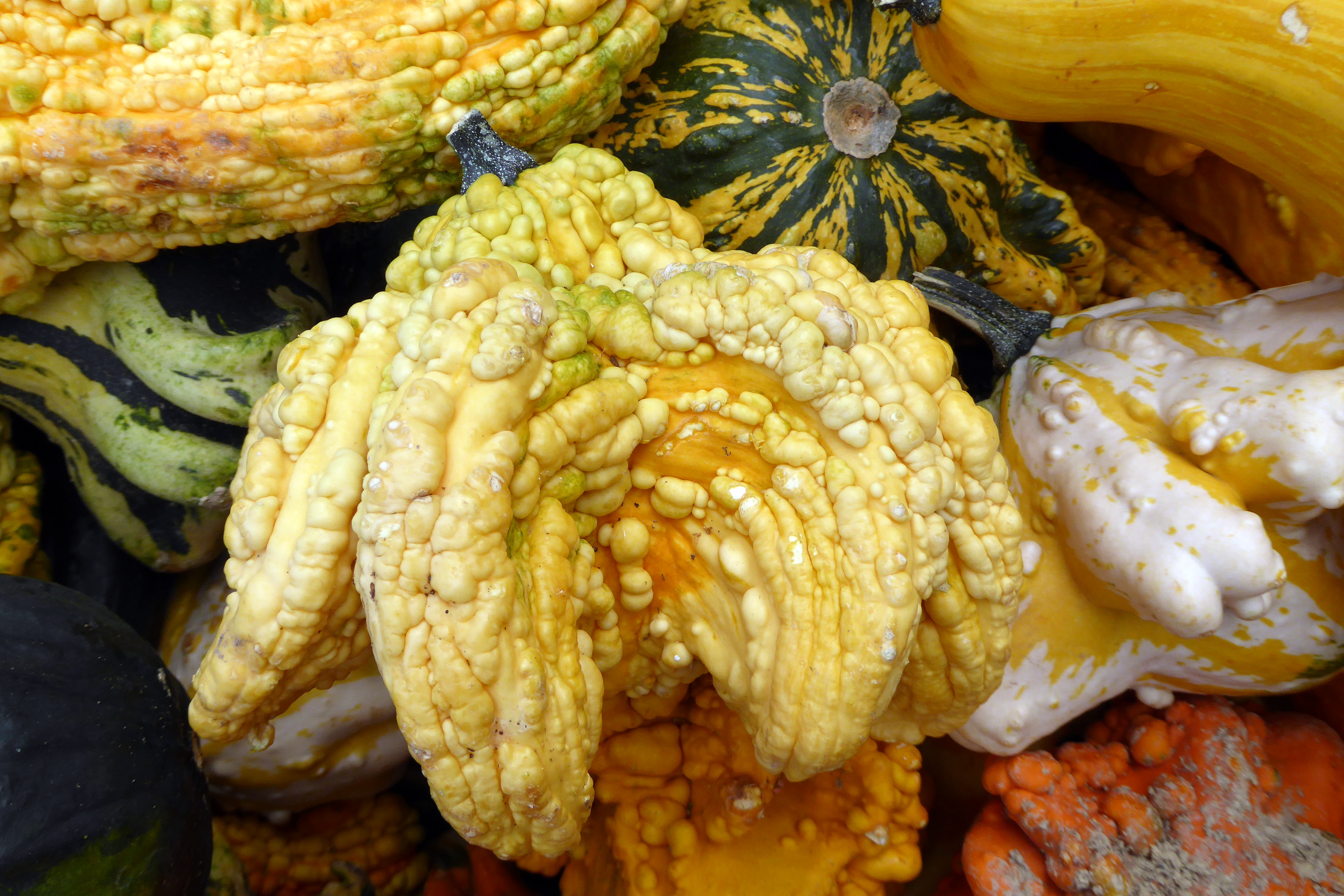
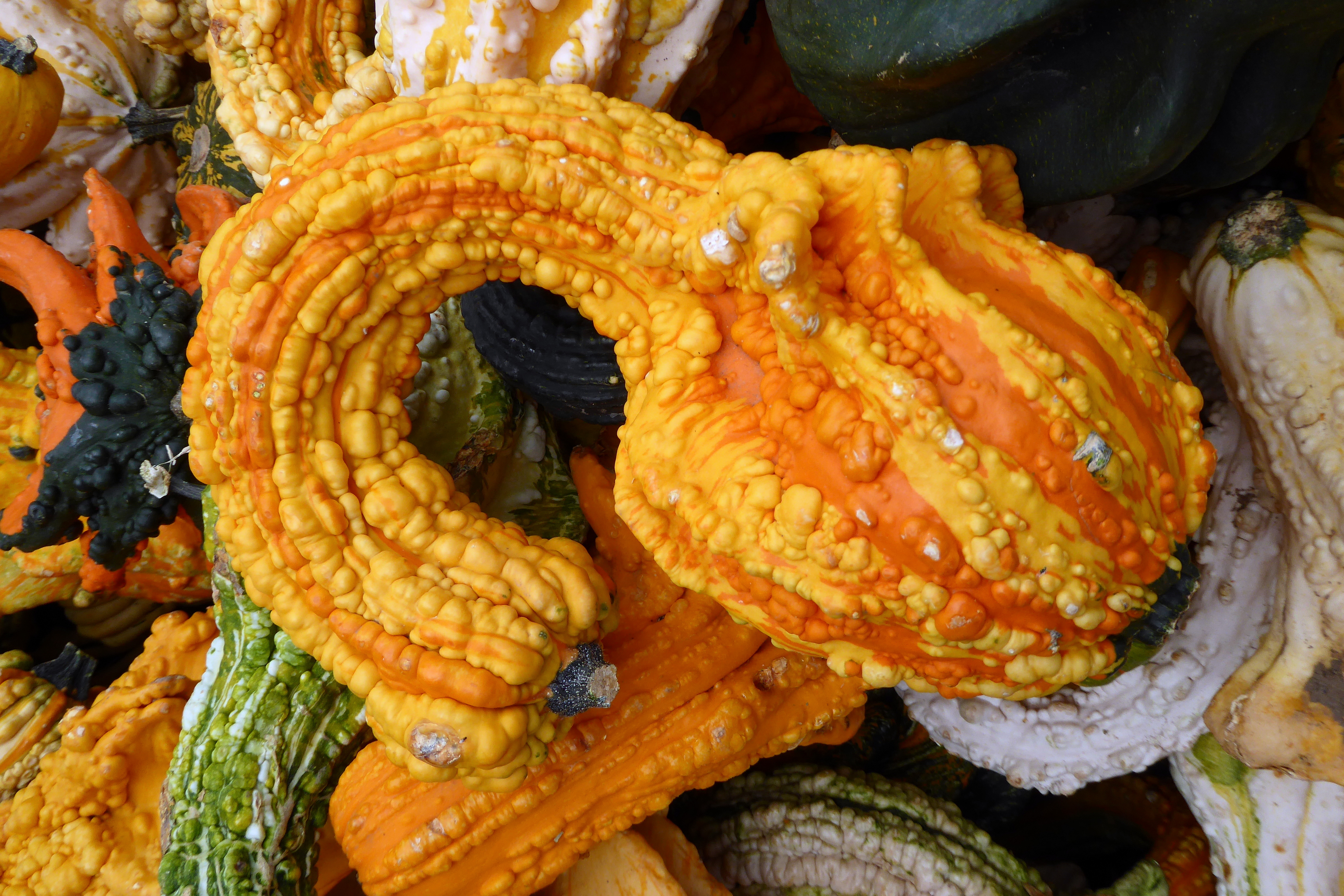
Panorama Orchards had an interesting variety of gourds for sale!
Breakfast this morning was another grab-and-go affair. Due to the labor shortages throughout the U.S. National Park system (and just about everywhere else), the hotel was unable to staff the restaurant for breakfast. Instead, tasty hot and cold items were offered to-go at the coffee bar. Our voucher included both, so we selected a delicious veggie quesadilla to eat hot and took the fruit, yogurt, and granola parfait with us for lunch.
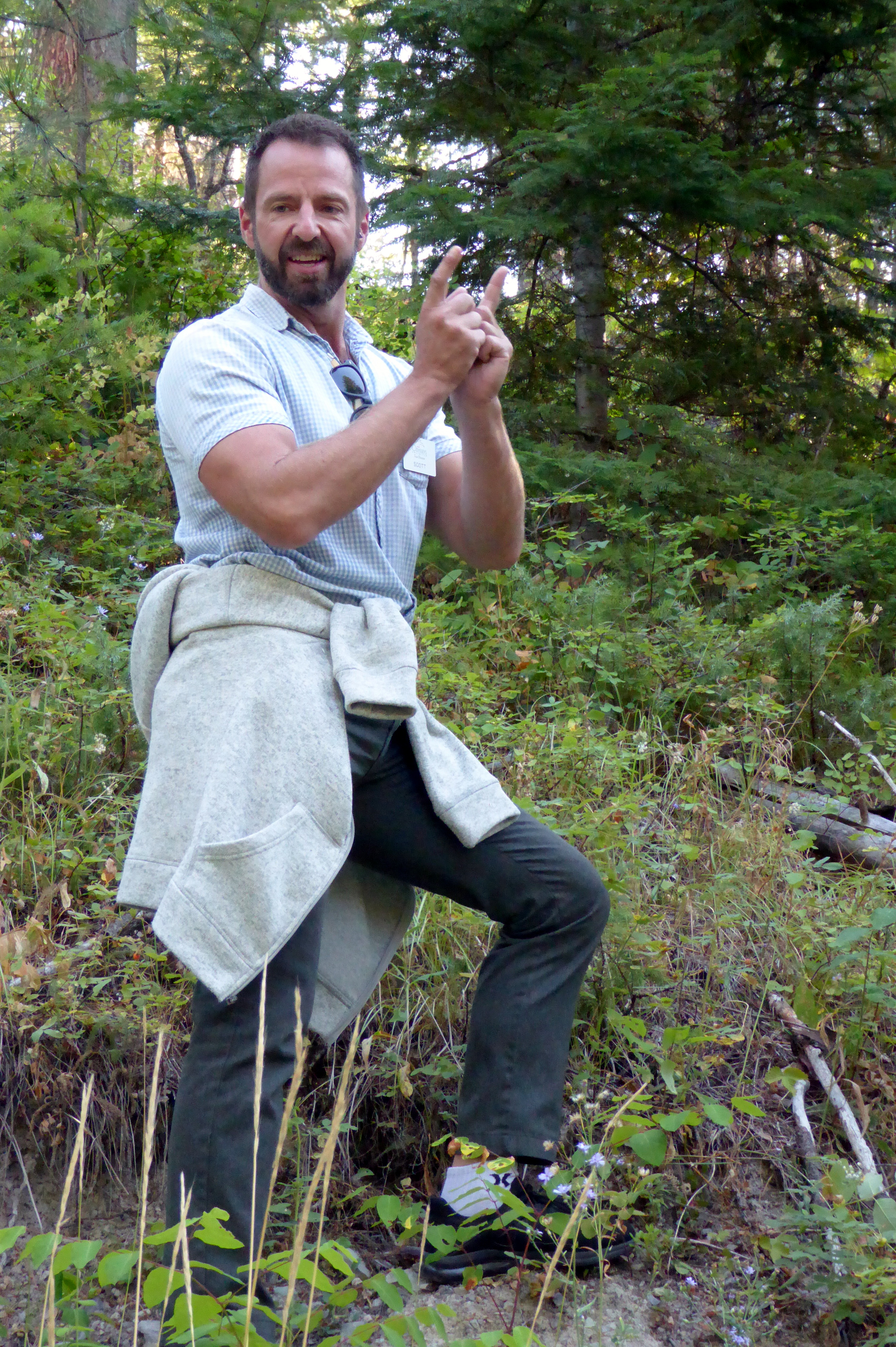
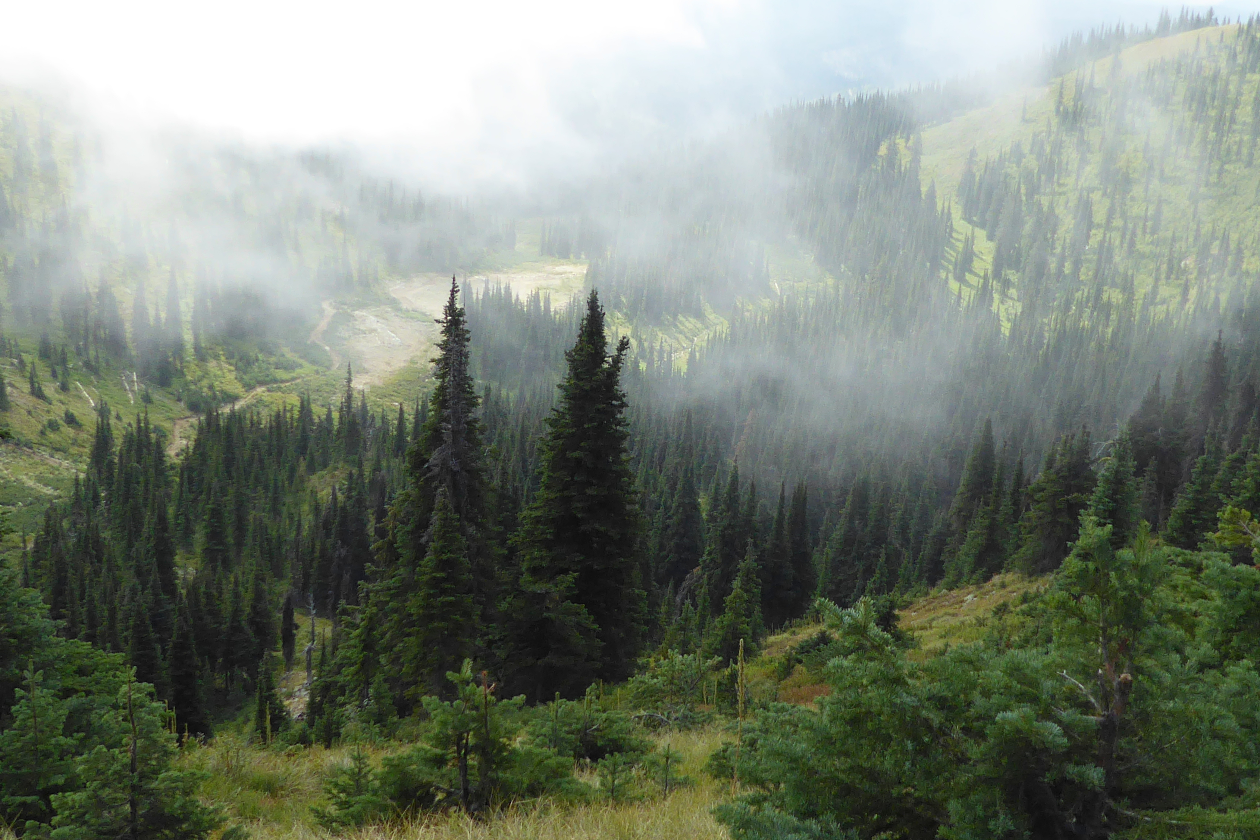
The day started with a hike at Swift Creek Trailhead, just outside of the town of Whitefish. The Whitefish Trail Systemconsists of 15 trailheads and 47 miles of natural surface trails through forests, wildlife habitats, and lakes. During our hike we learned about the different trees and plants, as explained here by Scott:
(For all pictures, click on the image to see full screen view.)
Scott, our tour director
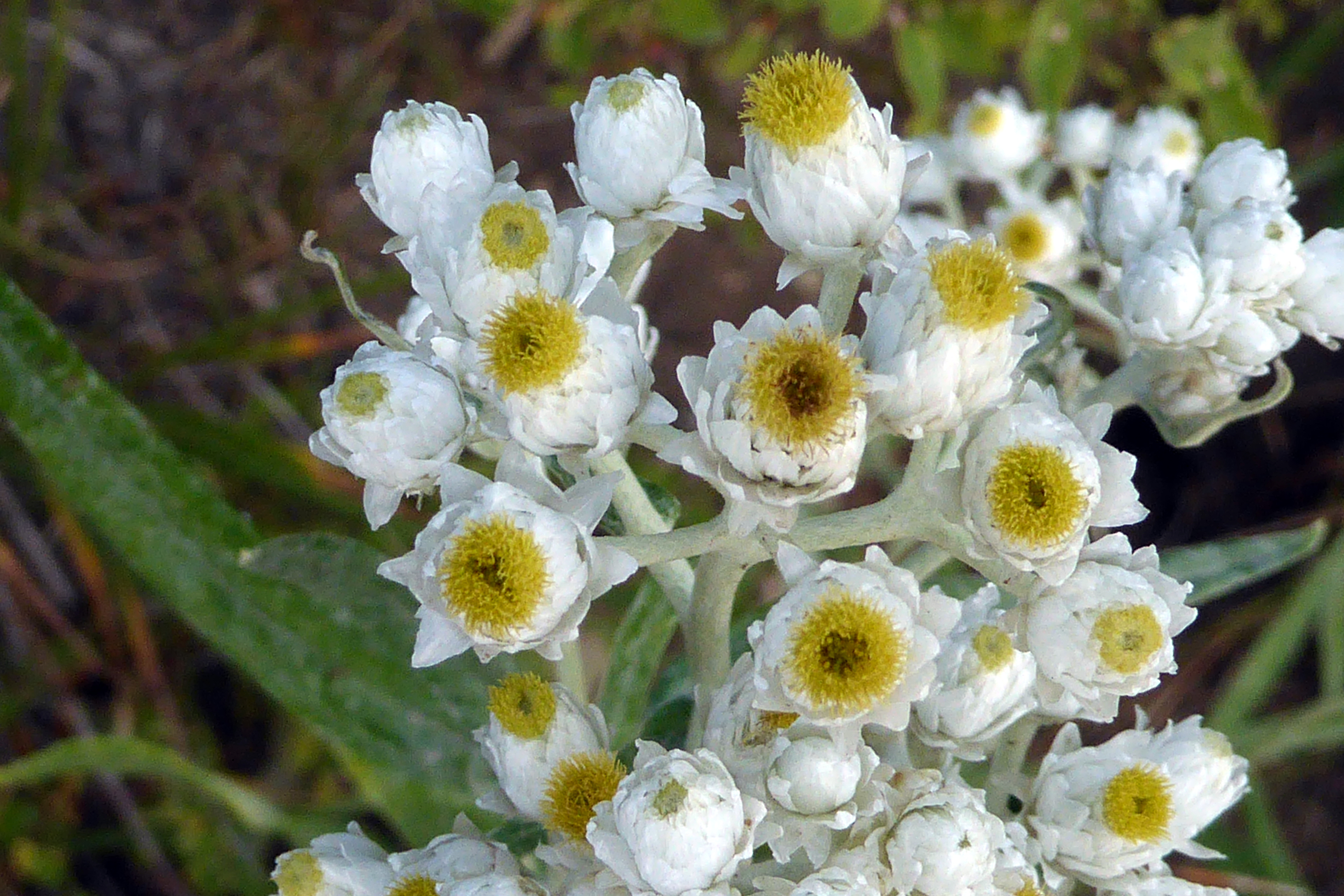
If you ever come across a plant, flower, or animal you can’t identify, check out an ap called “Seek,” created by iNaturalist, which is a joint initiative of the California Academy of Sciences and the National Geographic Society. One member of our group was using it and explained how it worked. I am currently finding it very helpful in identifying the flowers and plants I photographed before I learned about the ap. After opening Seek, I hold my phone’s camera up to my computer monitor and let the ap try to identify the photo on the screen. It works!
“Pearly Everlasting,” as identified by using the “Seek” ap
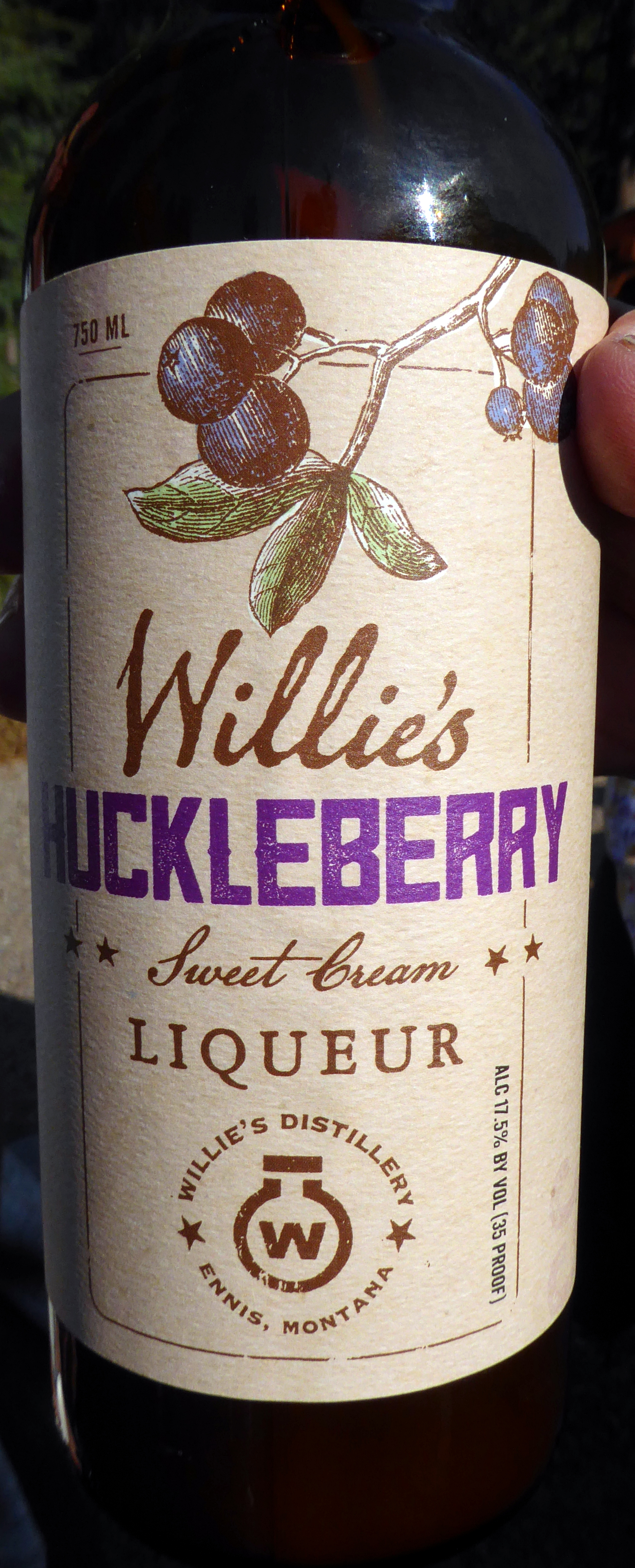
Following our hike, we were treated to a taste of Wild Huckleberry liquor. More about huckleberries on the next hike of the day…
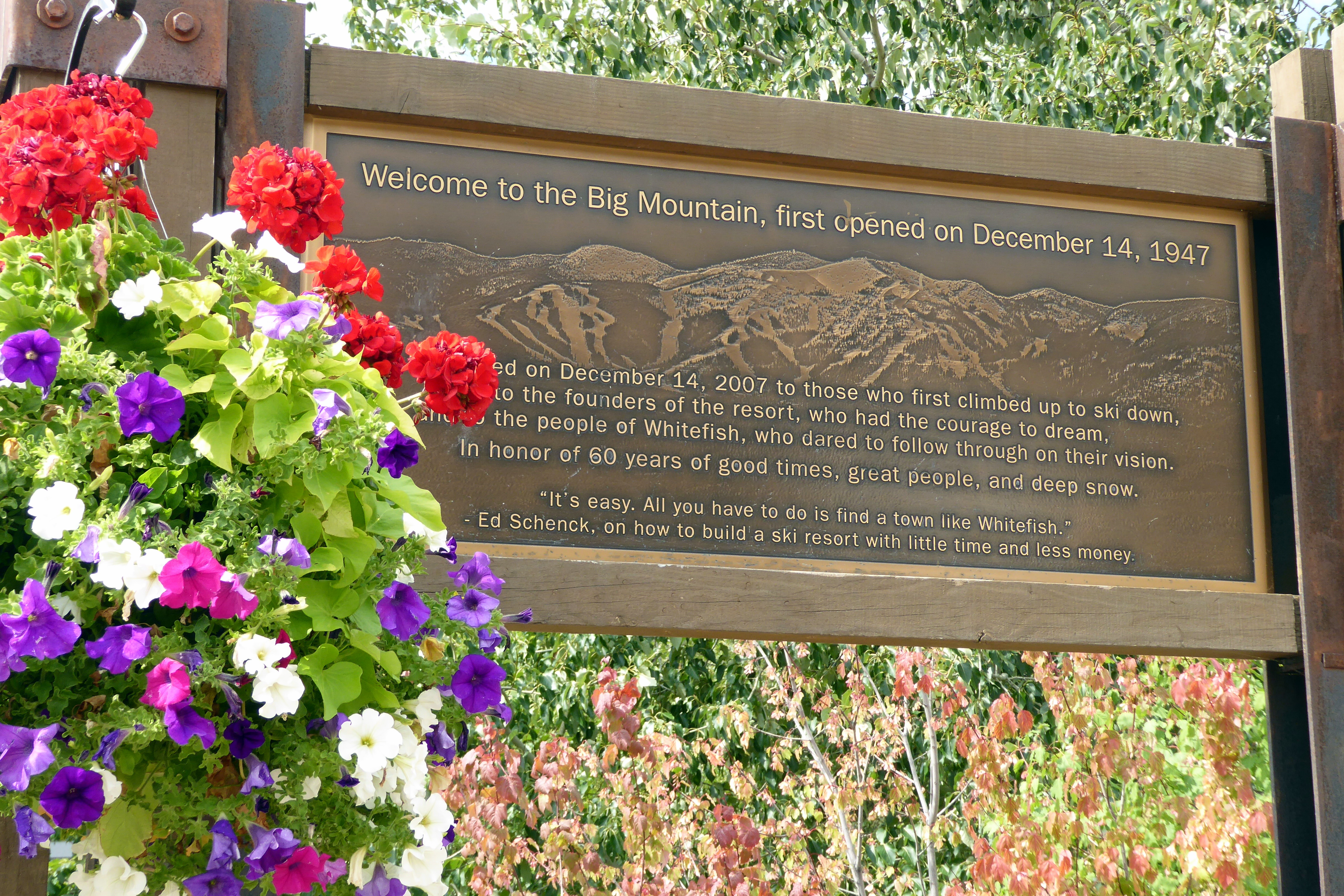
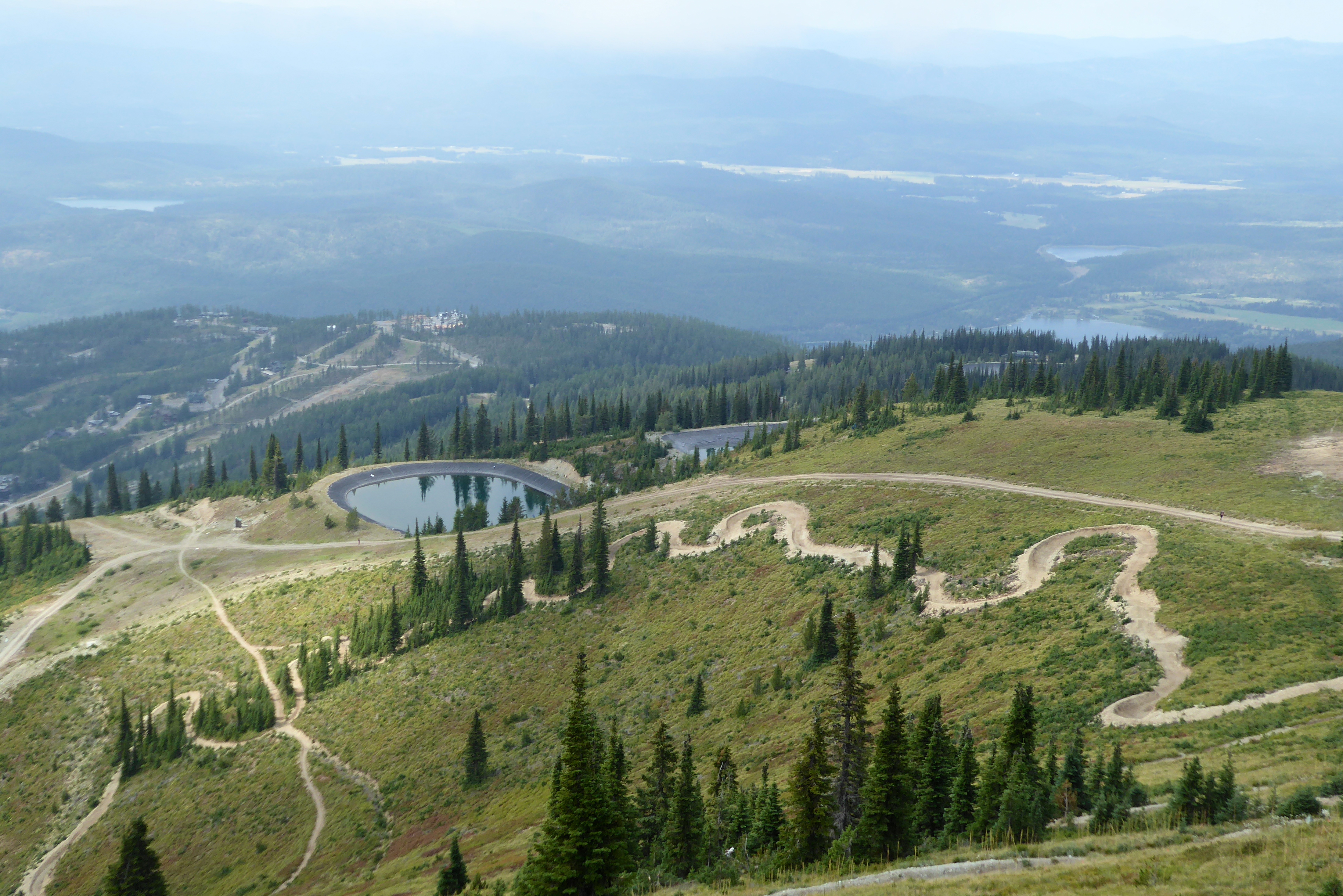
Next, we headed to Whitefish Mountain Resort where we boarded chairlifts that took us to the top of “Big Mountain,” where the 2001 U.S. Alpine Skiing Championships were held. At an elevation of nearly 7,000 feet, the 360-degree views of Whitefish and Whitefish Lake were spectacular.
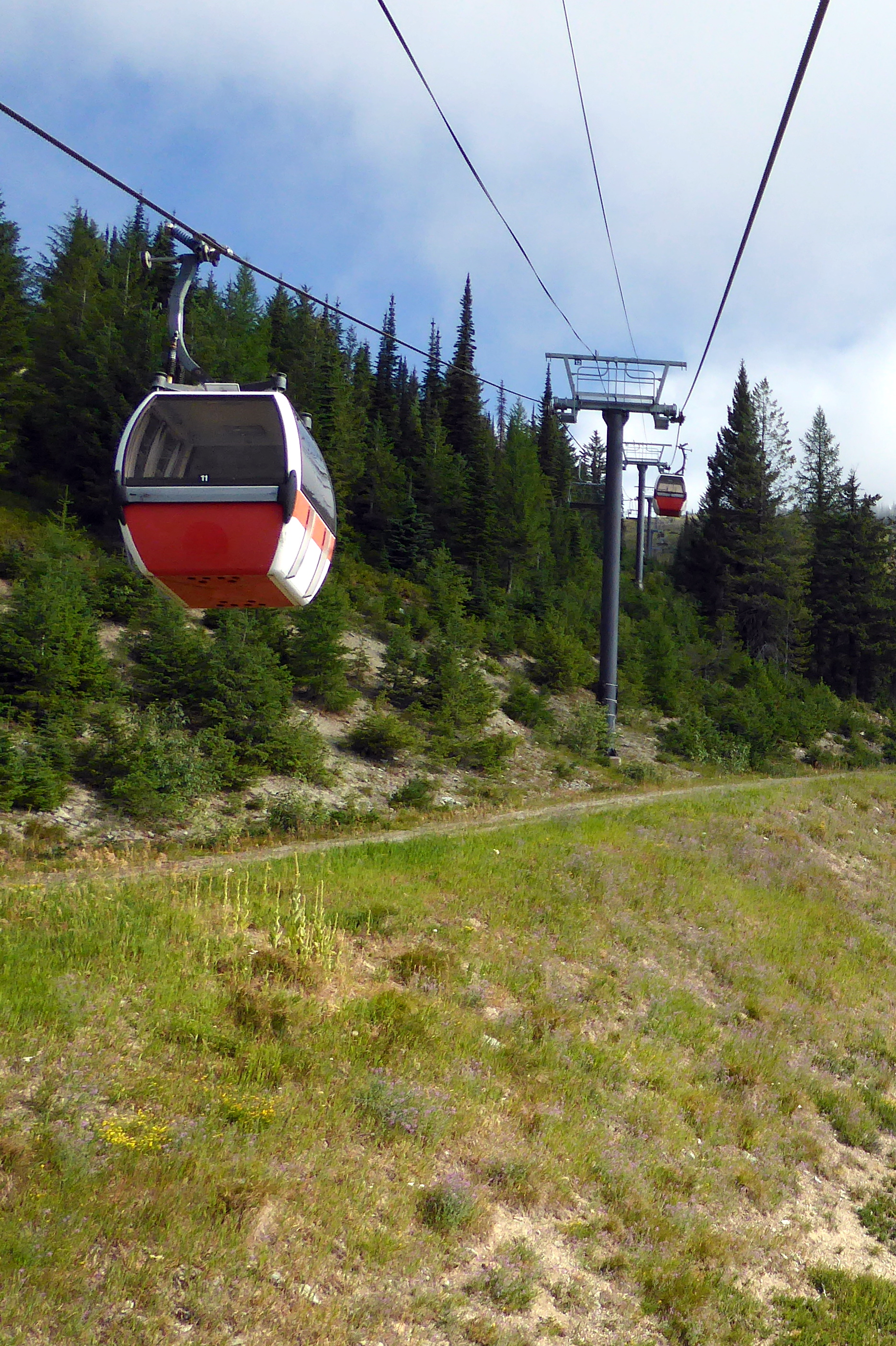
We had the option of riding in a gondola or chair. Much to my surprise, Bruce agreed to join me in the chair!
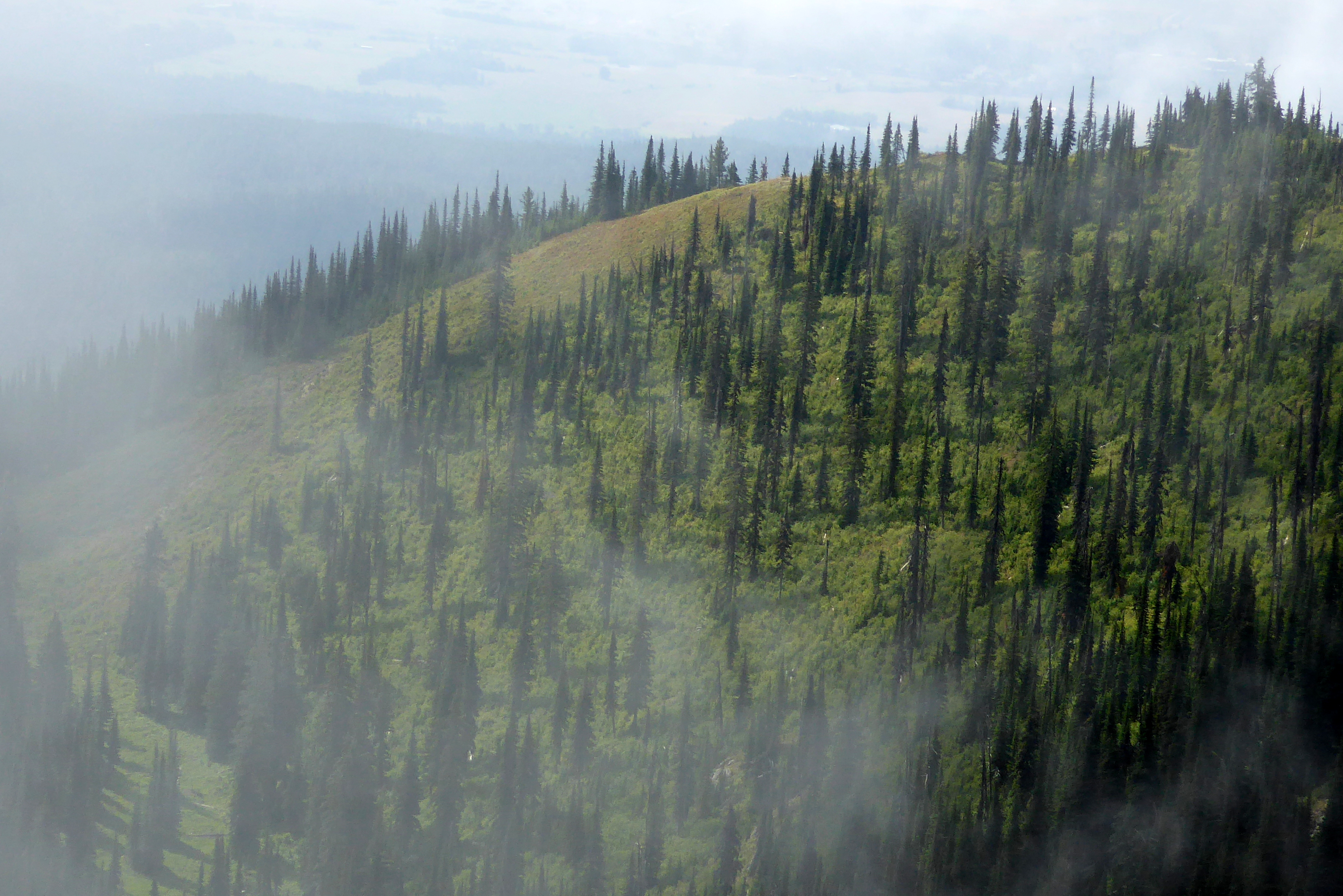
Bruce and I ventured off to hike a loop trail to see more of the mountain. The low clouds were creating such dynamic views and weather—warm when the sun broke through, and cold when the clouds blocked the sun.
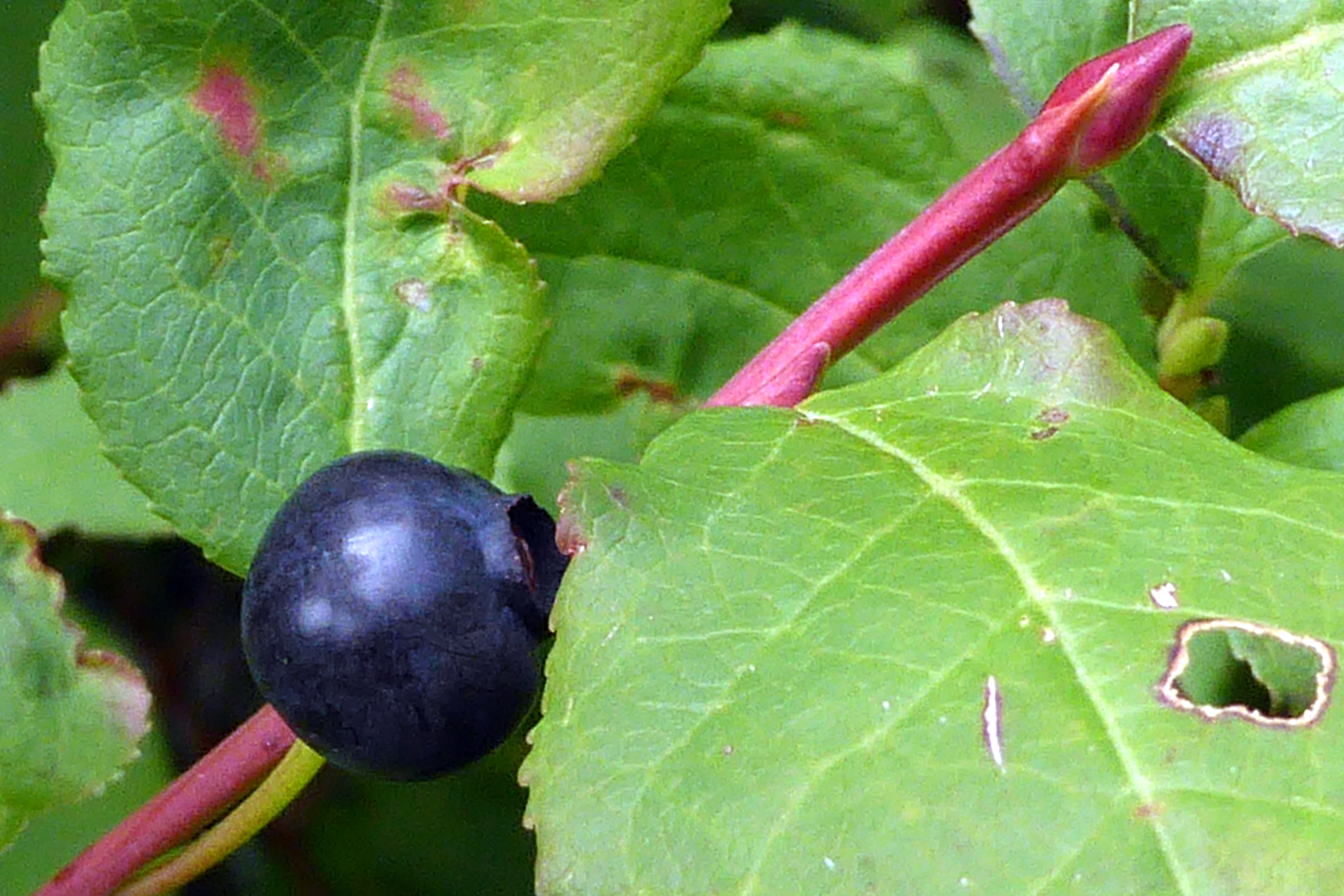
Along the way, we came across huckleberry bushes, so my continuous pauses to snack on the tasty berries along the way allowed for the remainder of our group to catch up with us.
Huckleberries are a cousin of the blueberry, but smaller and purple in color. In the gift shops throughout Glacier National Park, Huckleberry everything is available for purchase. From flavored chocolates to preserves, they have it all. In addition to the Wild Huckleberry liquor, Scott treated us to huckleberry licorice, which was quite tasty. Nothing, however, beats a fresh huckleberry picked from the bush!
The high-altitude hike back up to the chairlift was a bit steep, which momentarily took the wind out of Bruce and some of the others, but I surprisingly managed ok. I was pleased that the previous weeks of post-swim, masked track walks in my community’s gym had built up my lungs for the thin air.
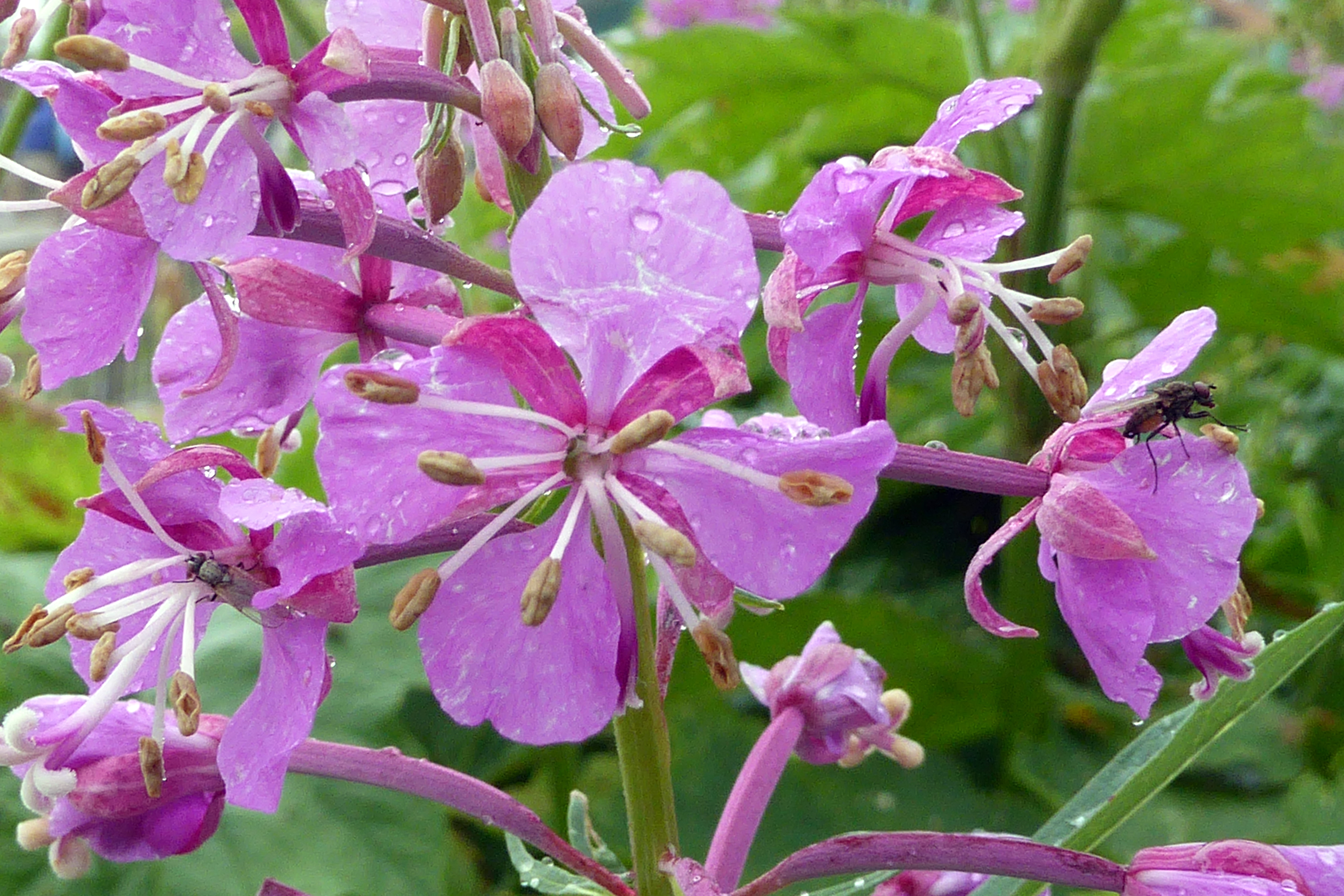
Chamaenerion-angustifolium
While riding the chairlift back down, we were treated to sweet view of a mother and baby deer cuddled up under a tree. Wildlife! I tried to get a picture, but the chairlift was moving too quickly, and I missed it. Oh well, how about these two babies that were hanging out in our backyard (several years back), while their mom foraged for food, instead?
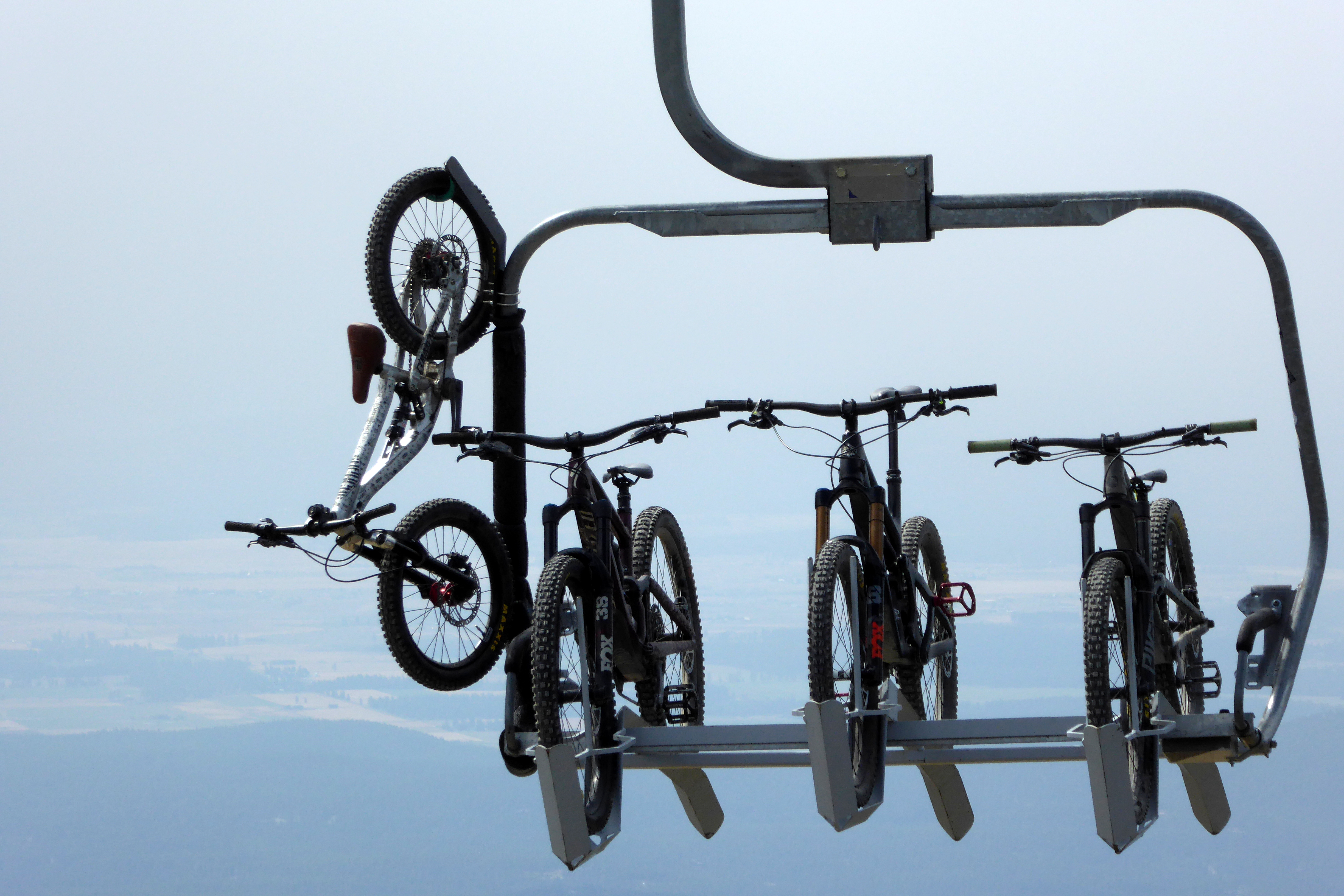
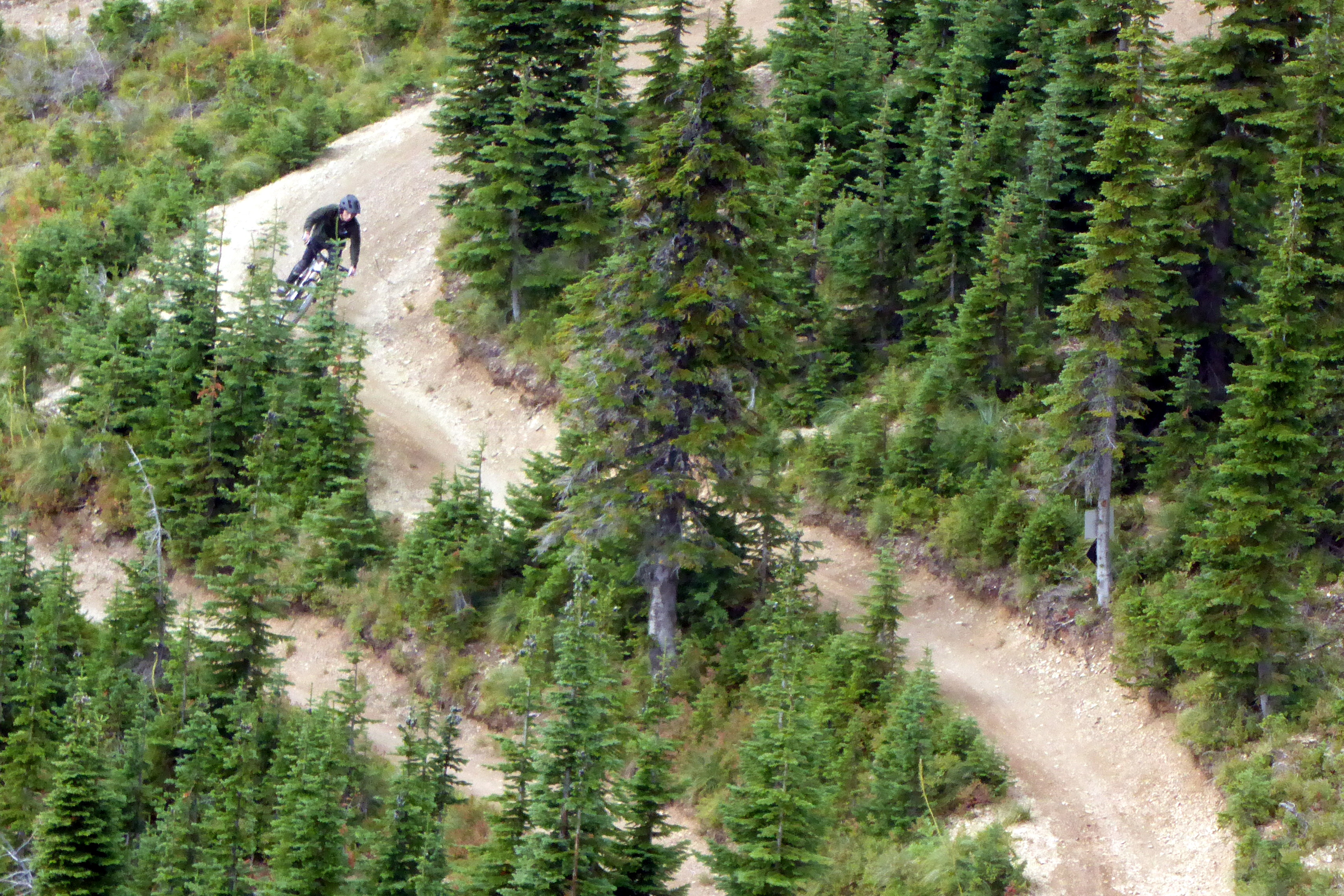
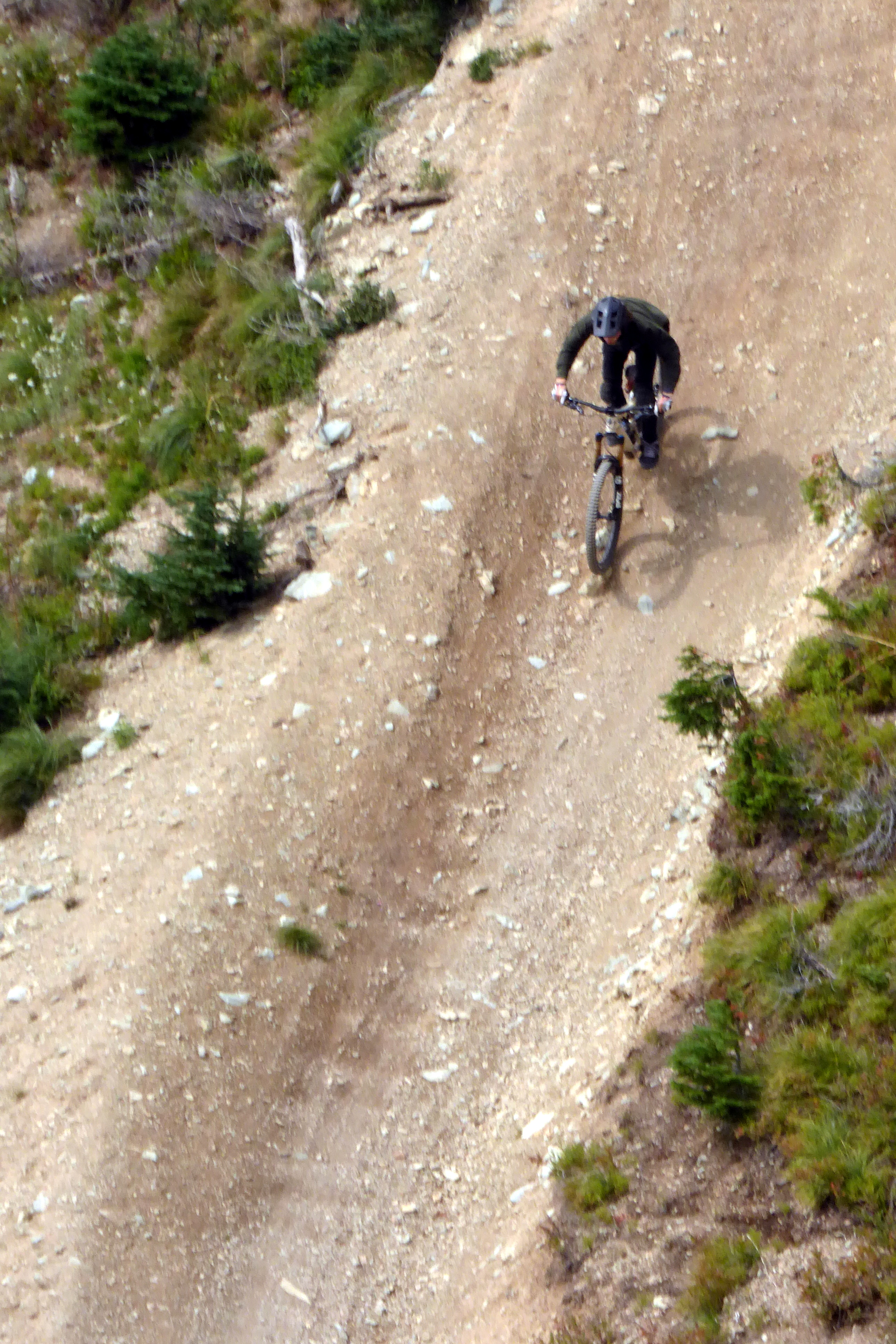
In the summer, Big Mountain is also a popular destination for trail riding, so I caught this guy in action on his bicycle. Considering we were moving on the chairlift, and he was flying down the mountain, I’m surprised my little Panasonic Lumix was able to capture these shots as good as it did:
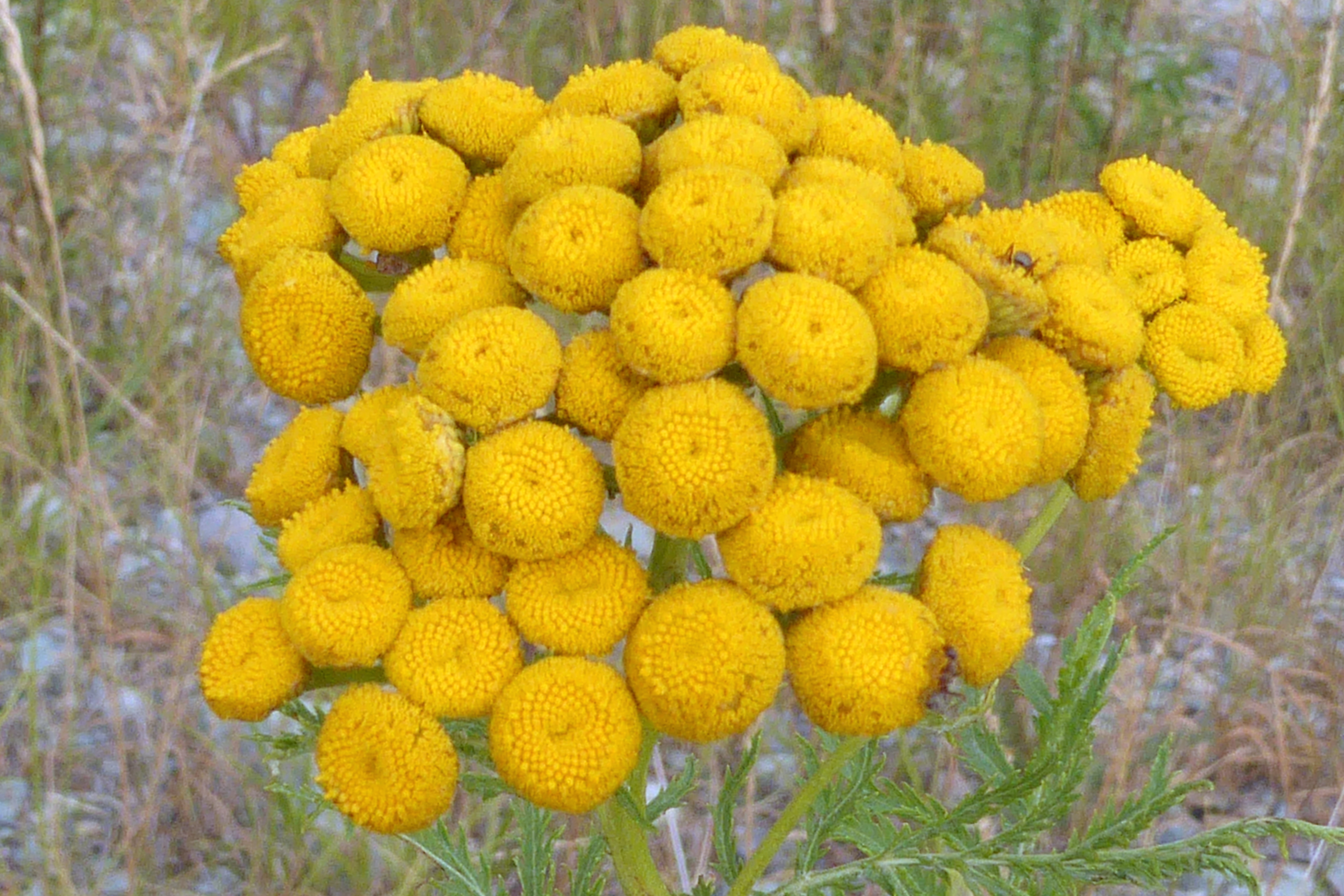
Tansies- “Golden Buttons”
The remainder of the day was open for an afternoon and evening at leisure, so we checked out the town of Whitefishand ended our day with an early dinner, topped off with Sweet Peaks ice cream. Selecting two new (and different) flavors, Bruce and I had enjoyed five in all during our Montana visit. Yummy!
Mural on the side of Sweet Peaks Ice Cream
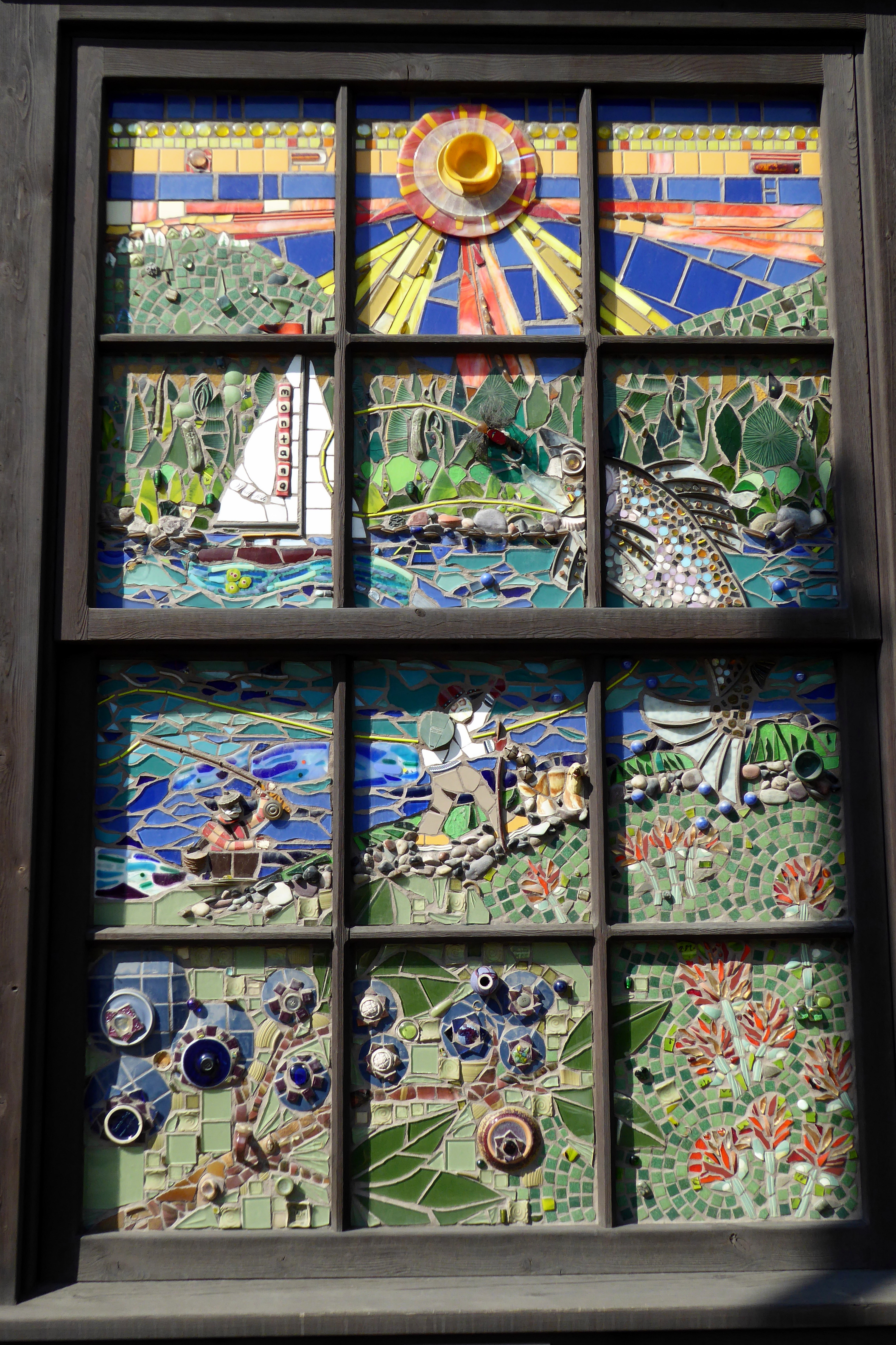
Tile and glass mosaic on the side of a craft shop. There was one for each season. This was my favorite, “Summer.”
Before walking back to the hotel, we picked up a copy of Flathead Beaconto read about local life. The free newspaper includes “Police Blotter,” a listing of calls received by the local police and sheriff departments. Check out some of these entries:
Friday 7/29
8:49 a.m. The actions of a man jumping around and climbing on a wall was described as gorilla-like.
9:05 p.m. A woman called to tell law enforcement she was missing the calendar that usually hung on her wall.
Saturday 7/30
9:05 a.m. A woman called to complain about the governor.
7:58 p.m. While playing with his owner, a dog accidentally chewed on a watch and dialed 911.
8:54 p.m. Two dogs kept chasing the local deer.
Sunday 7/31
11:03 p.m. A bull and 10-12 cows escaped their pasture and headed east.
Tuesday 8/2
12:22 a.m. A grizzly bear knocked over a trash can and made off with a bag of garbage.
8:19 a.m. A man was in the process of divorcing his wife but she kept sending him explicit photos.
Now, wouldn’t it be nice if those were the “crime” reports in our local news? I’ll trade it for shootings any day!
Next up: An Unplanned Surprise Visit to Moraine Lake
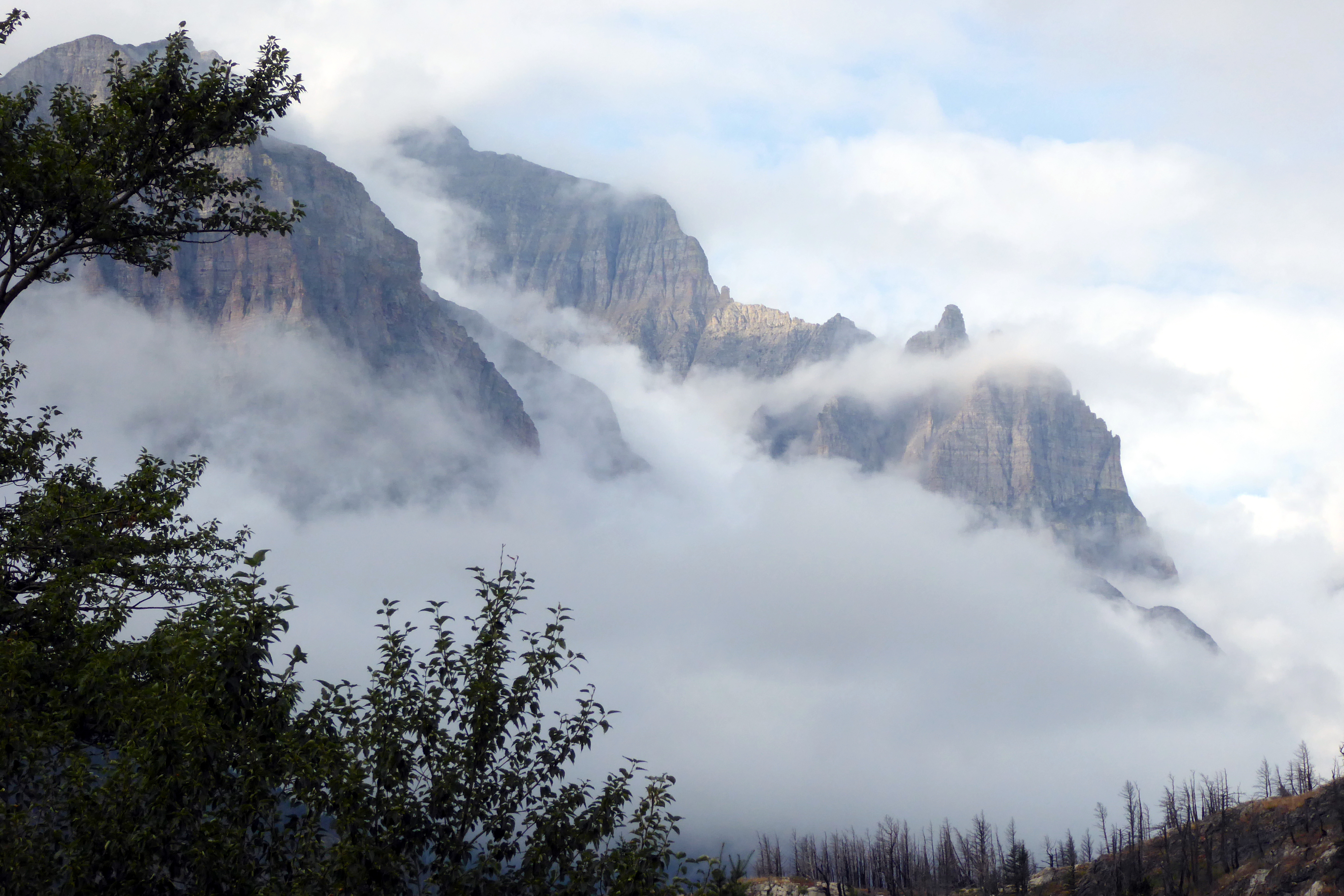
Gazing out our balcony window towards the mountains, I could see it was probably going to be another gloomy day. After I shot the photo above, clouds enveloped the mountain peaks, and rain threatened to ruin our Red Jammer ride on the iconic 50-mile Going-to-the-Sun Road. At least that’s what we thought…
(For all pictures, click on the image to see full screen view.)
Our group of 24 divided ourselves into two “jammers,” but when Scott hopped into ours, he noticed there was room for two more. None of the other 14 in the other jammer wanted to budge, though, so we had a little extra elbow room, which was nice.
Fortunately, the rain held off so Zack, our driver, could roll back the canvas roof top, allowing us to enjoy better views of the mountain peaks surrounding us. We were riding in style!
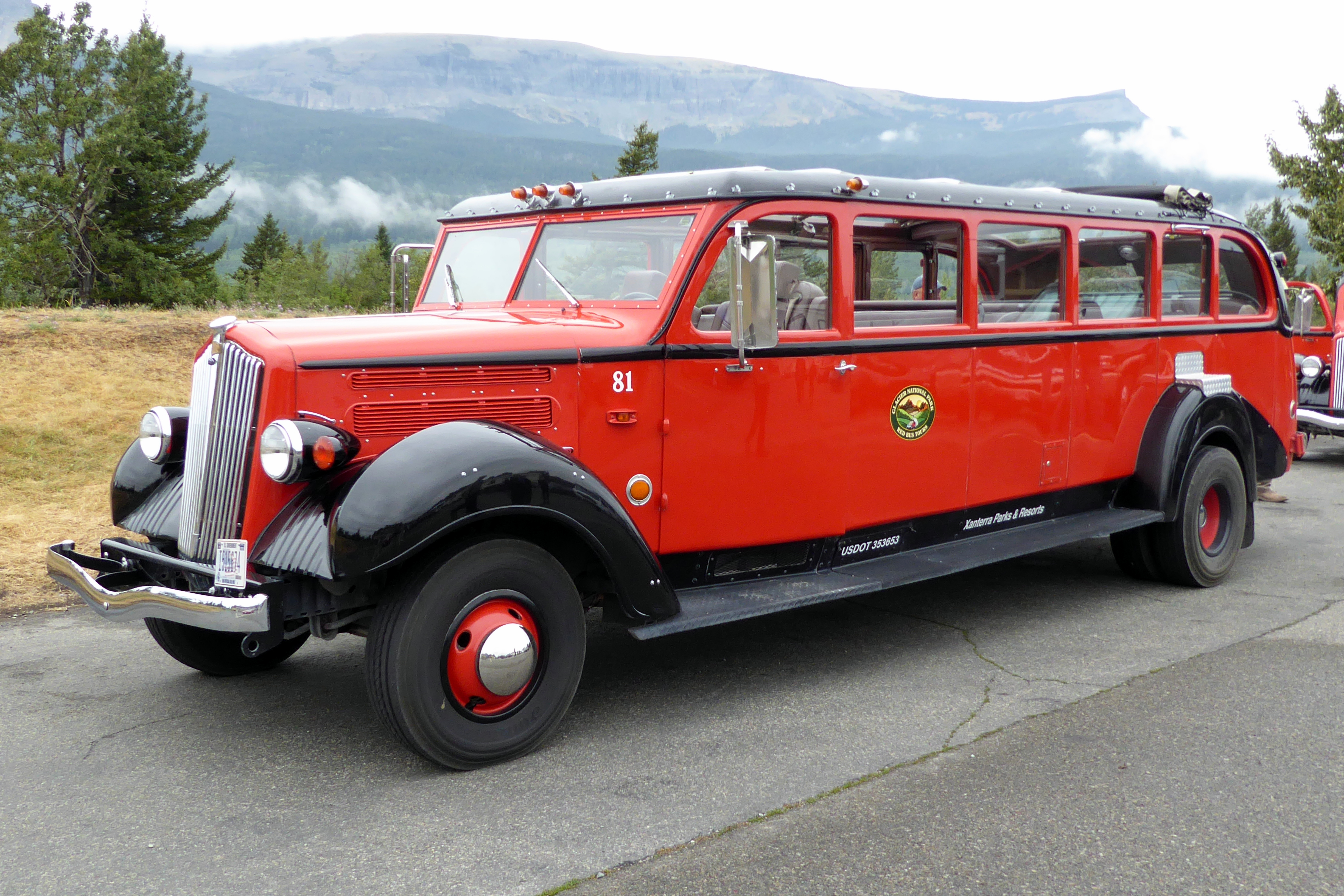
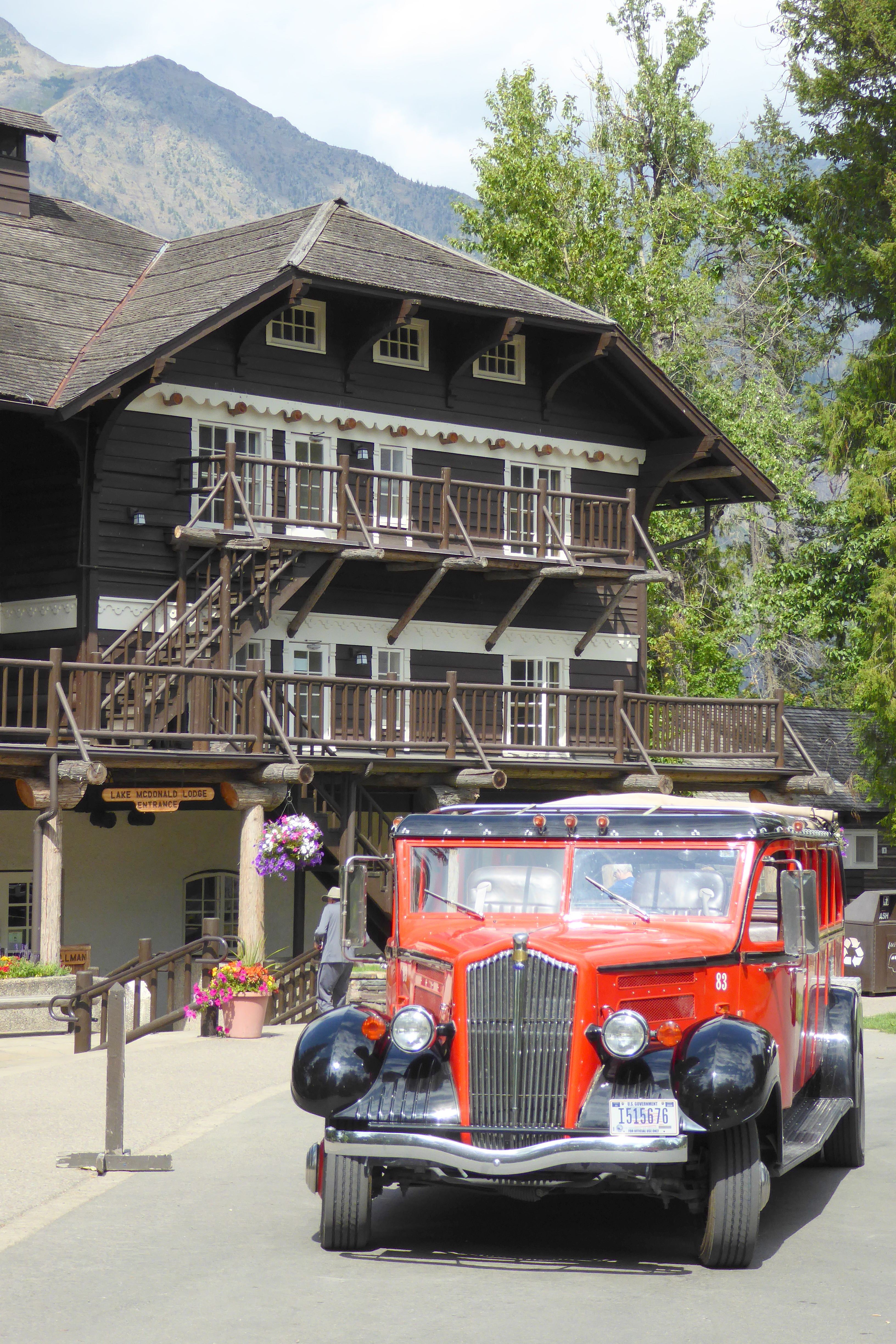
In the early days, visitors experienced Glacier National Parkon horses. When gravel roads were built, bumpy horseback rides were replaced by equally bumpy automobile rides. In 1914, White Motor Company touring buses began taking passengers through the park.
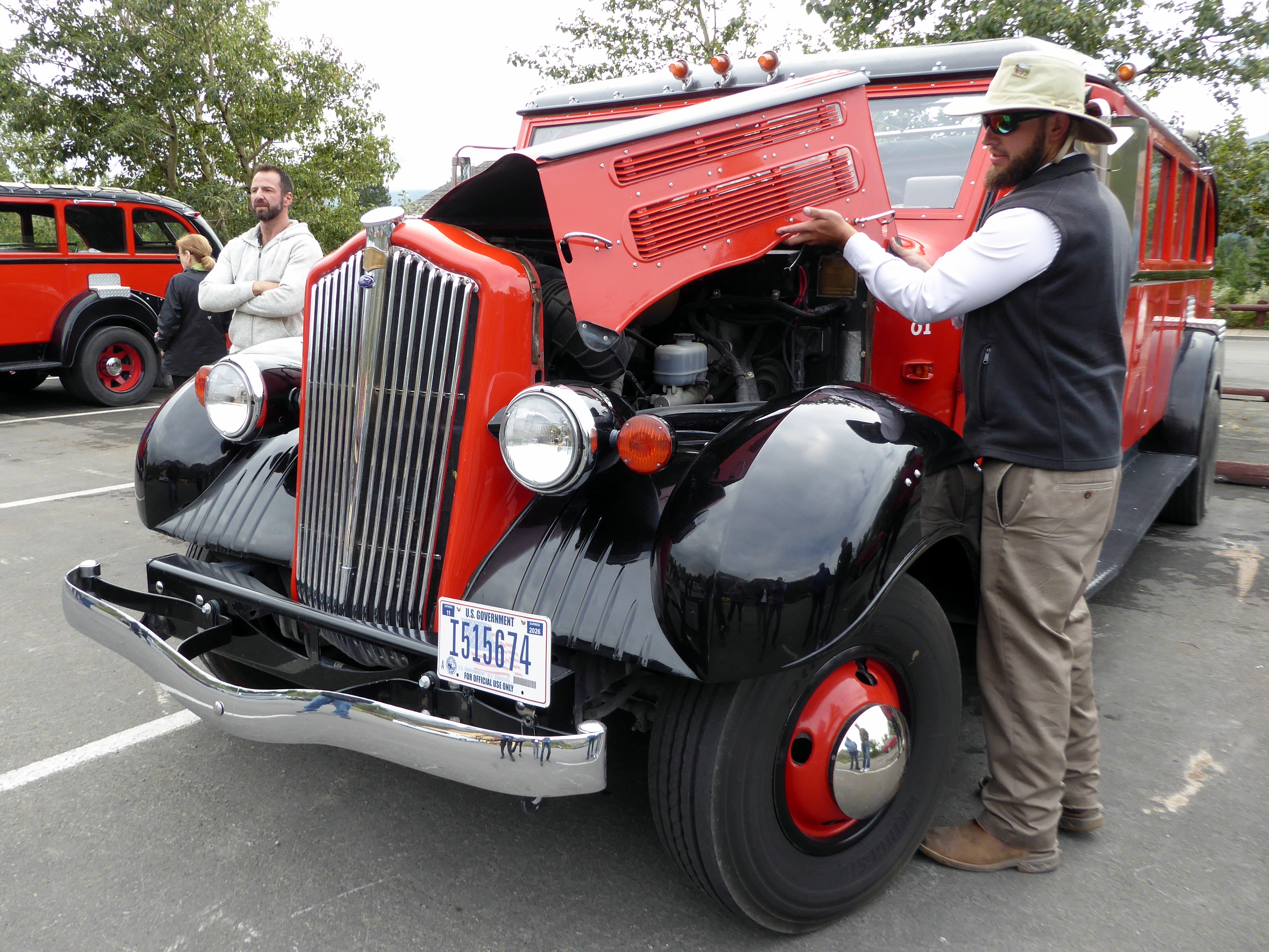
Fast-forward to today, and what has become the “Red Jammers” are part of the largest, longest-running fleet of vehicles in the National Park Service. From 1999 – 2002, Ford Motor Company refurbished the buses, each getting a new V8 bi-fuel engine and a new chassis atop its original wheel base. They are now a safer, cleaner, environmentally friendly, and more comfortable ride to go with that classically stylish look.
The “Jammer” part of their name comes from the bus drivers who were affectionately known as gear jammers, because they had to jam the buses into gear so frequently.
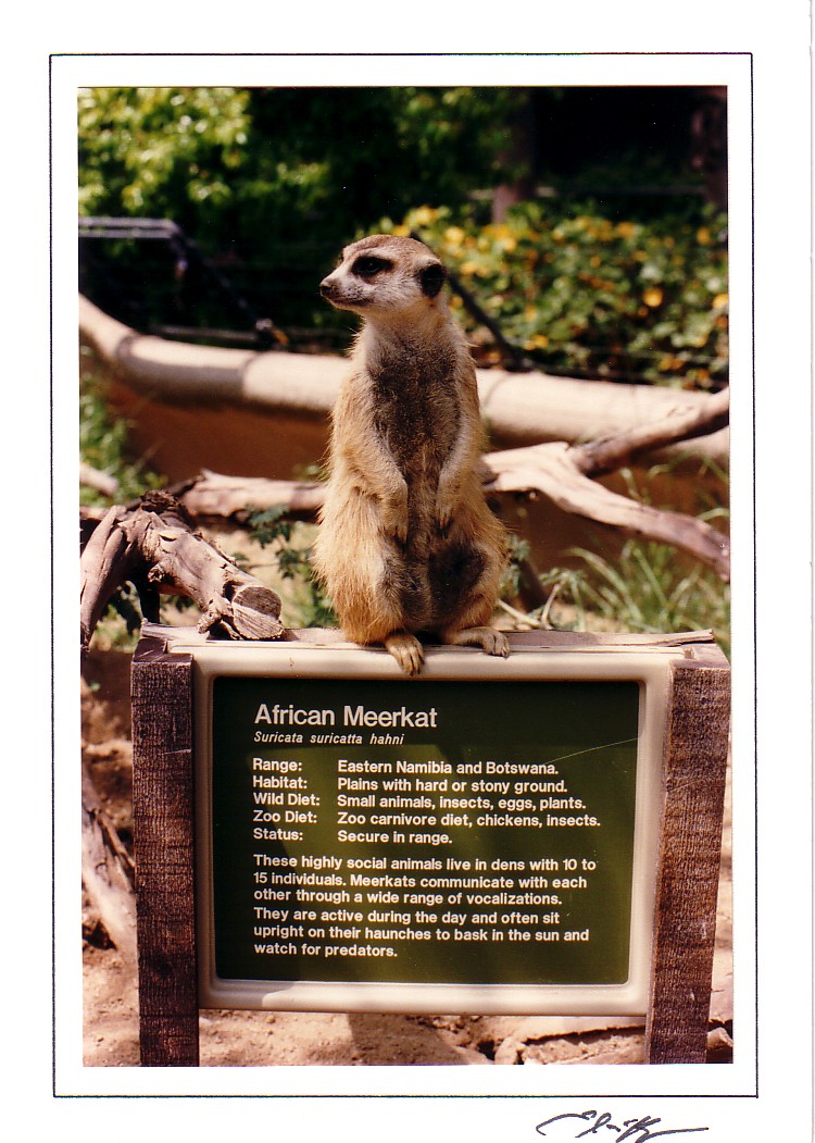
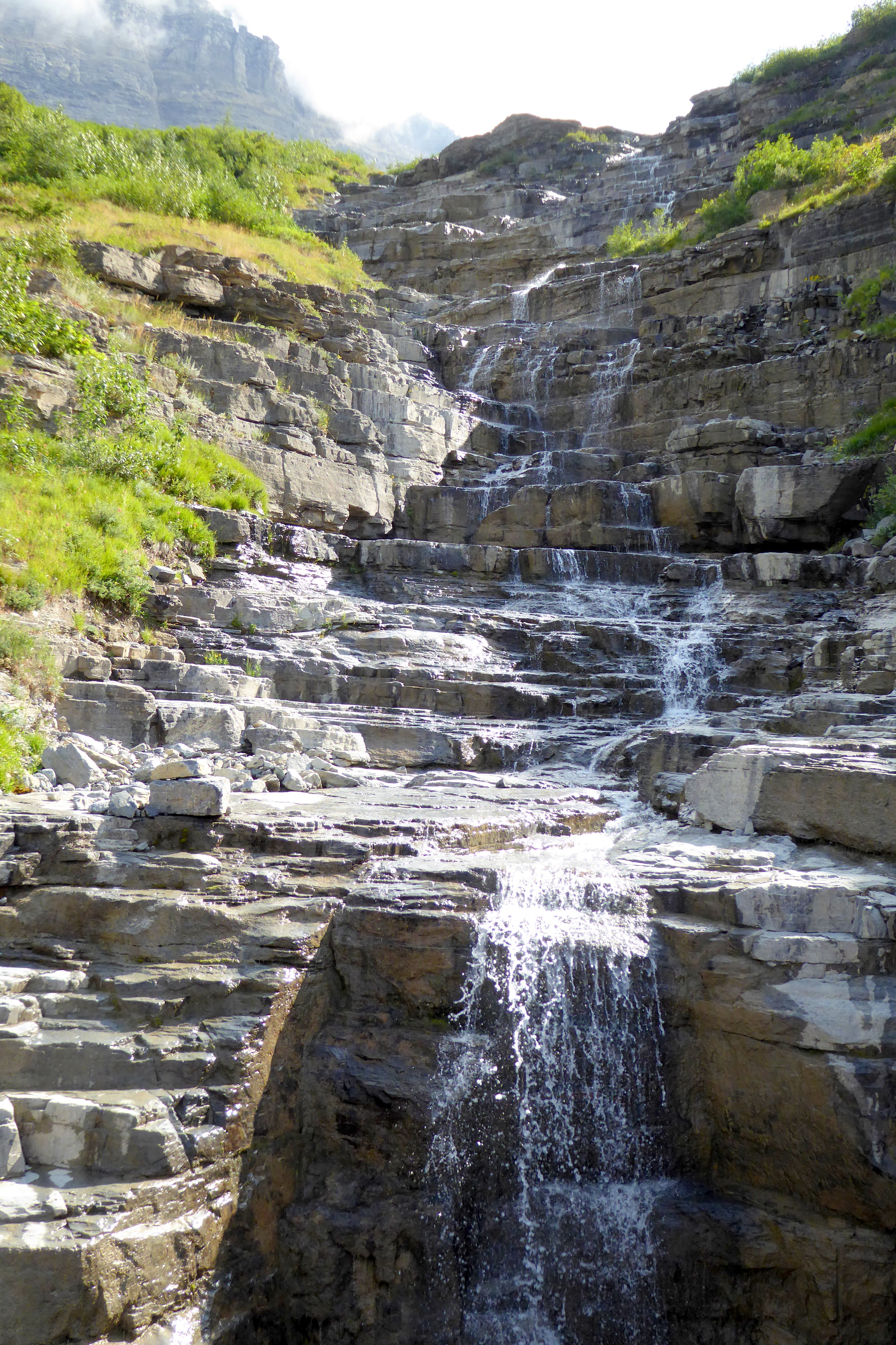
Zack, our driver, did a great job of sharing what he had learned about the jammers and the sites we saw during our ride. Whenever we were about to approach a beautiful vista or a roadside waterfall, he slowed down and announced, “Prairie Dog!” giving us permission to stand up and take pictures through the rolled-back roof. Bruce and I looked at each other simultaneously and said, “Meerkat!” in memory of one of our favorite critters at the San Diego Zoo.
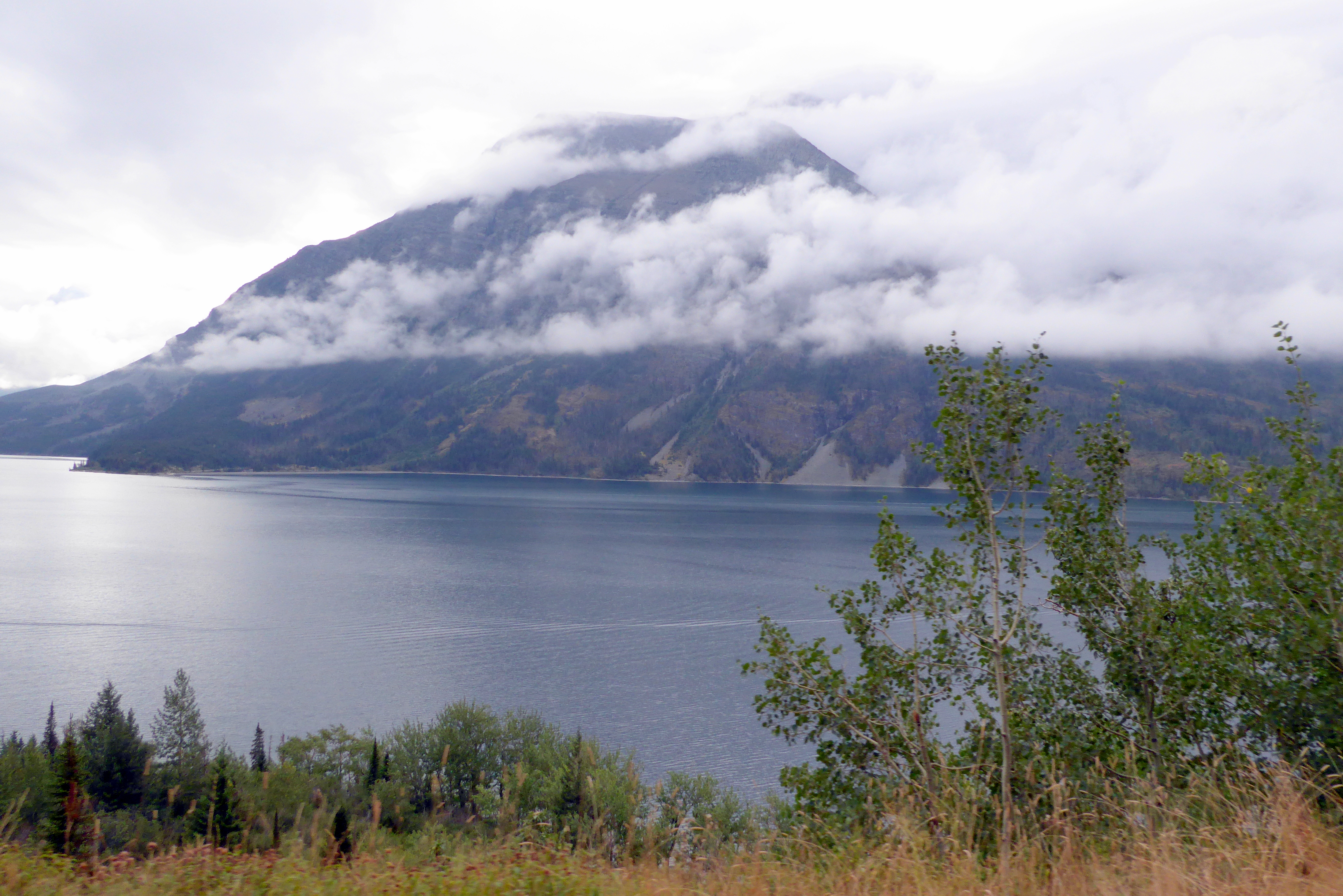
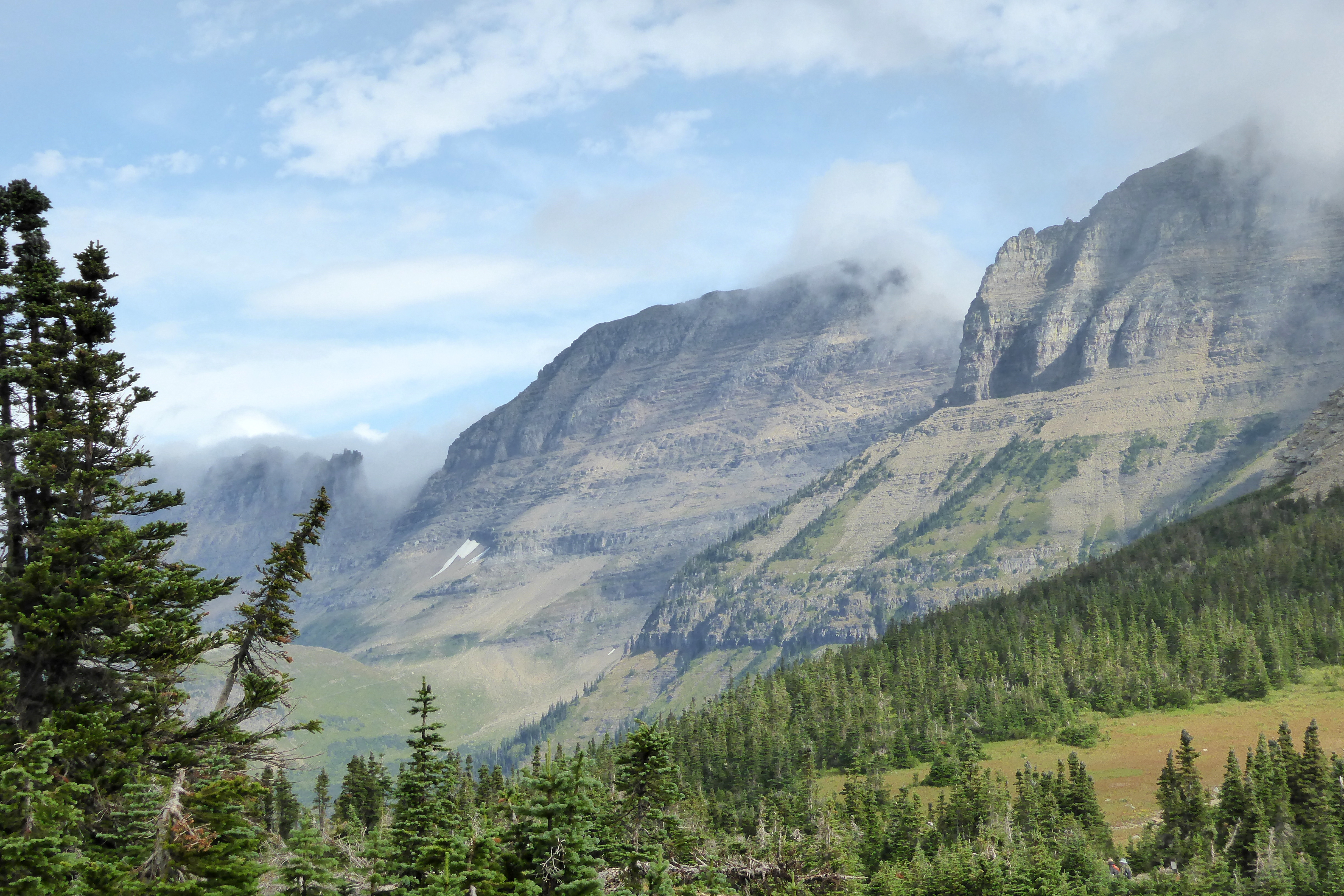
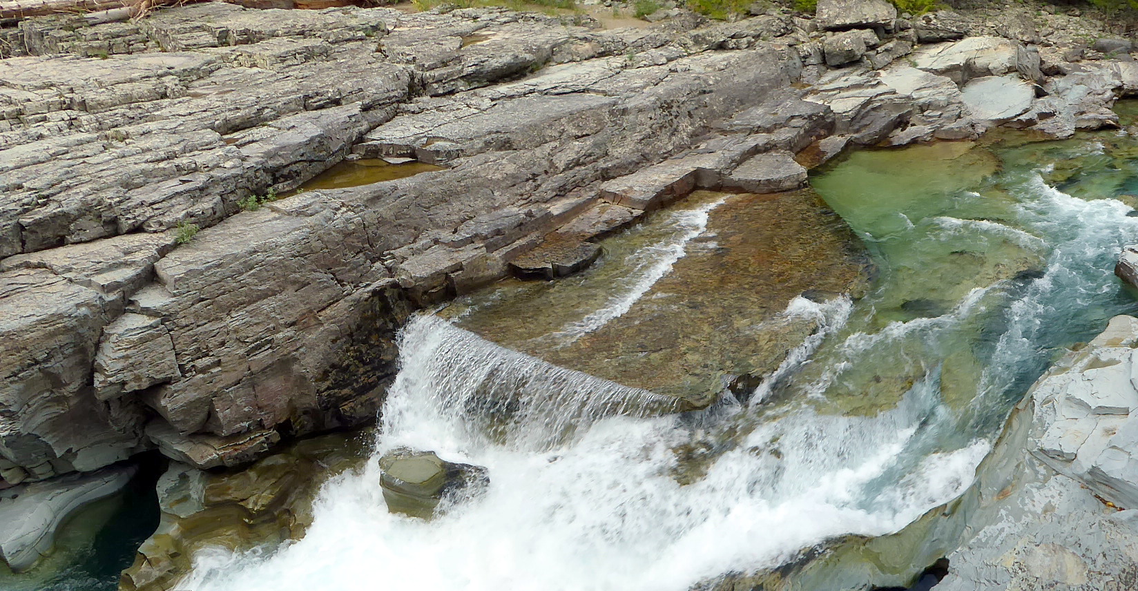
Our adventure took us from St. Mary Village west to Lake MacDonald, with a stop at Logan Pass, the highest elevation of the road at 6,646 ft. Until we arrived at Logan Pass Visitor Center, it was, indeed, a gloomy ride. The fog had lifted enough to catch some views, but it was a bit depressing.
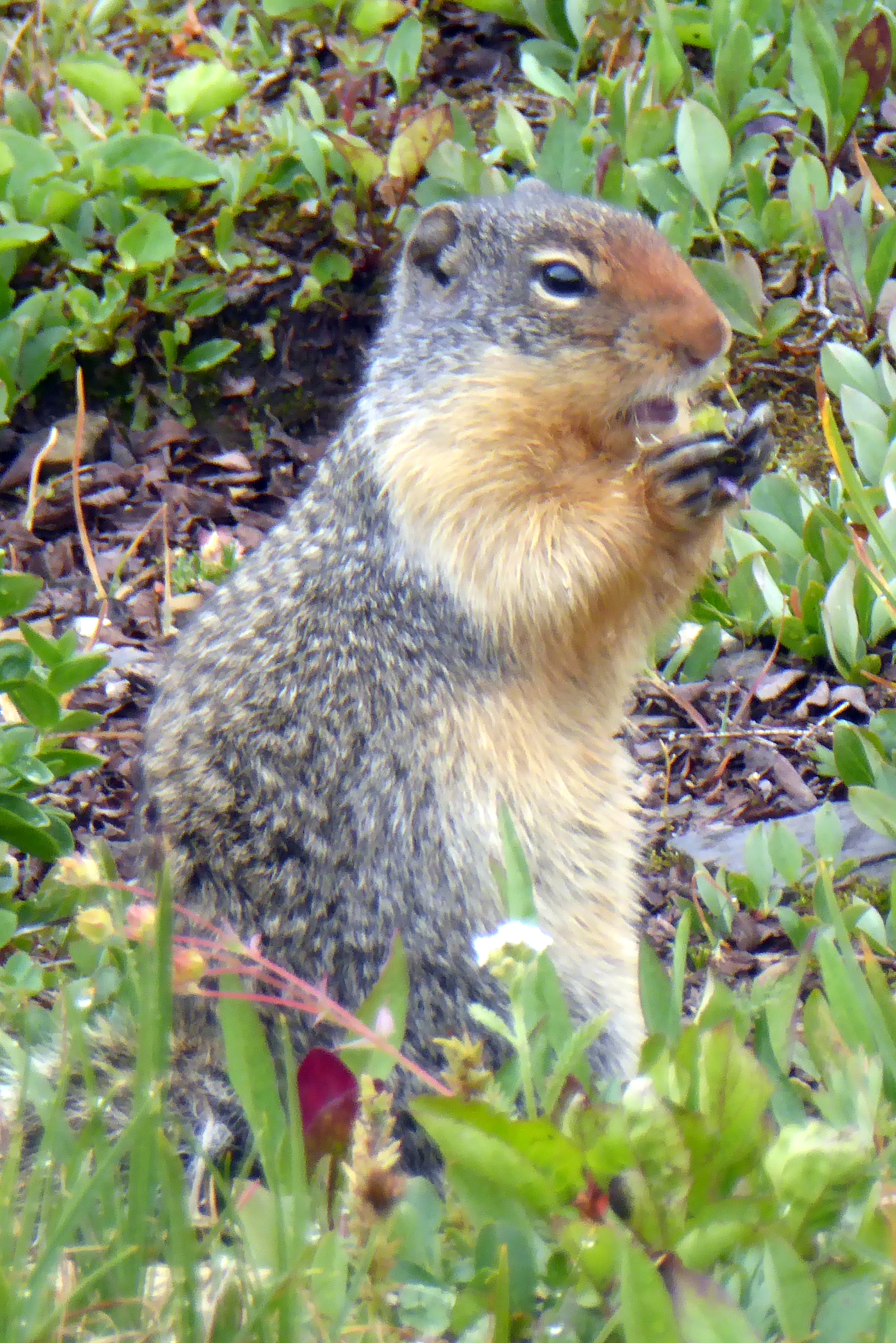
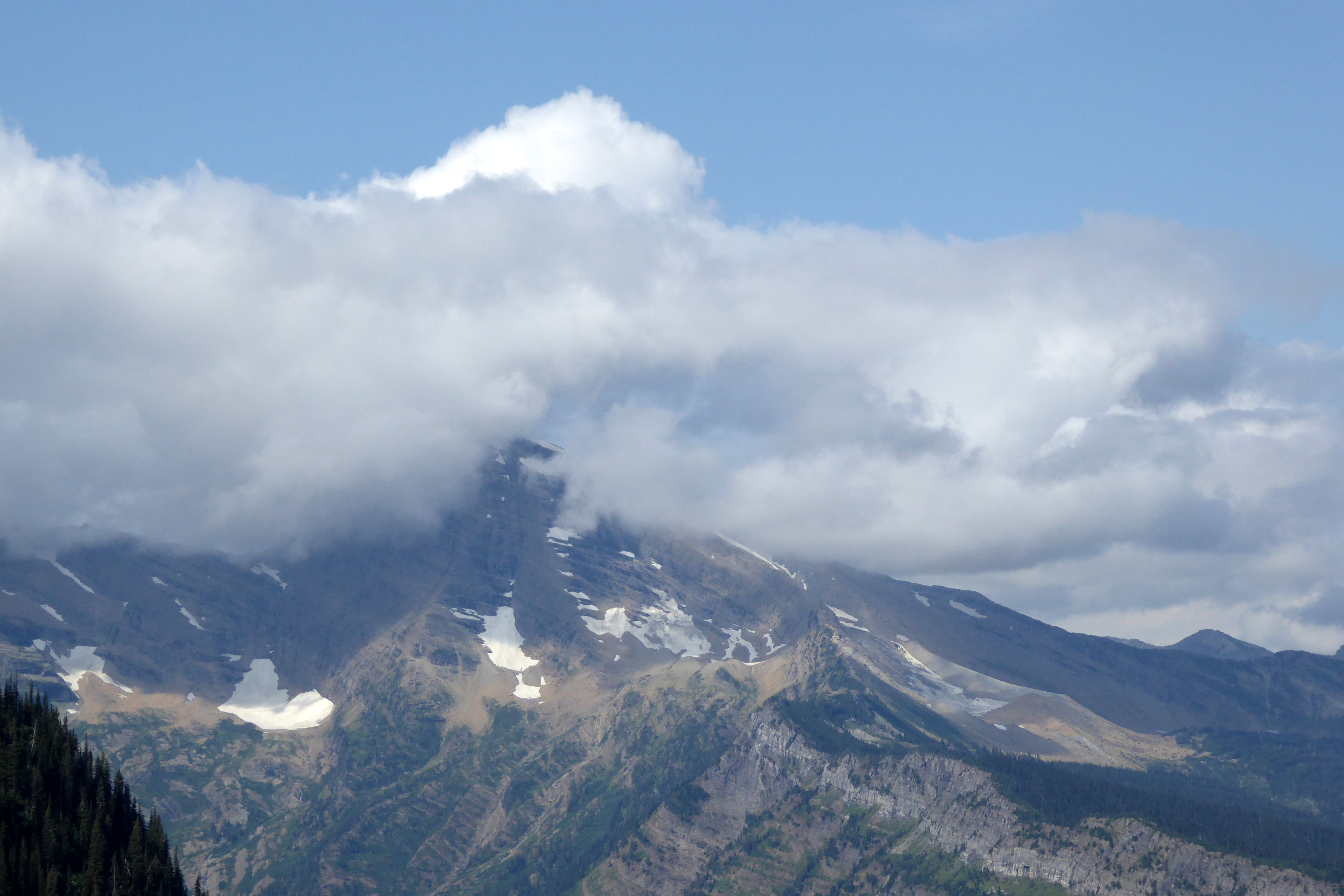
As Bruce, Scott, and I hiked the trails behind the visitor center in search of spotting a big horn sheep (as Scott was sure we would see), I lamented to Scott that Bruce’s and my luck of having great weather during our previous travels had run out. Not more than two minutes later, magic! The clouds began to lift, we could see the glaciers, and my sullen mood brightened along with the beautiful blue sky. (We never did see a mountain goat, but we did spot this squirrel—wildlife!):
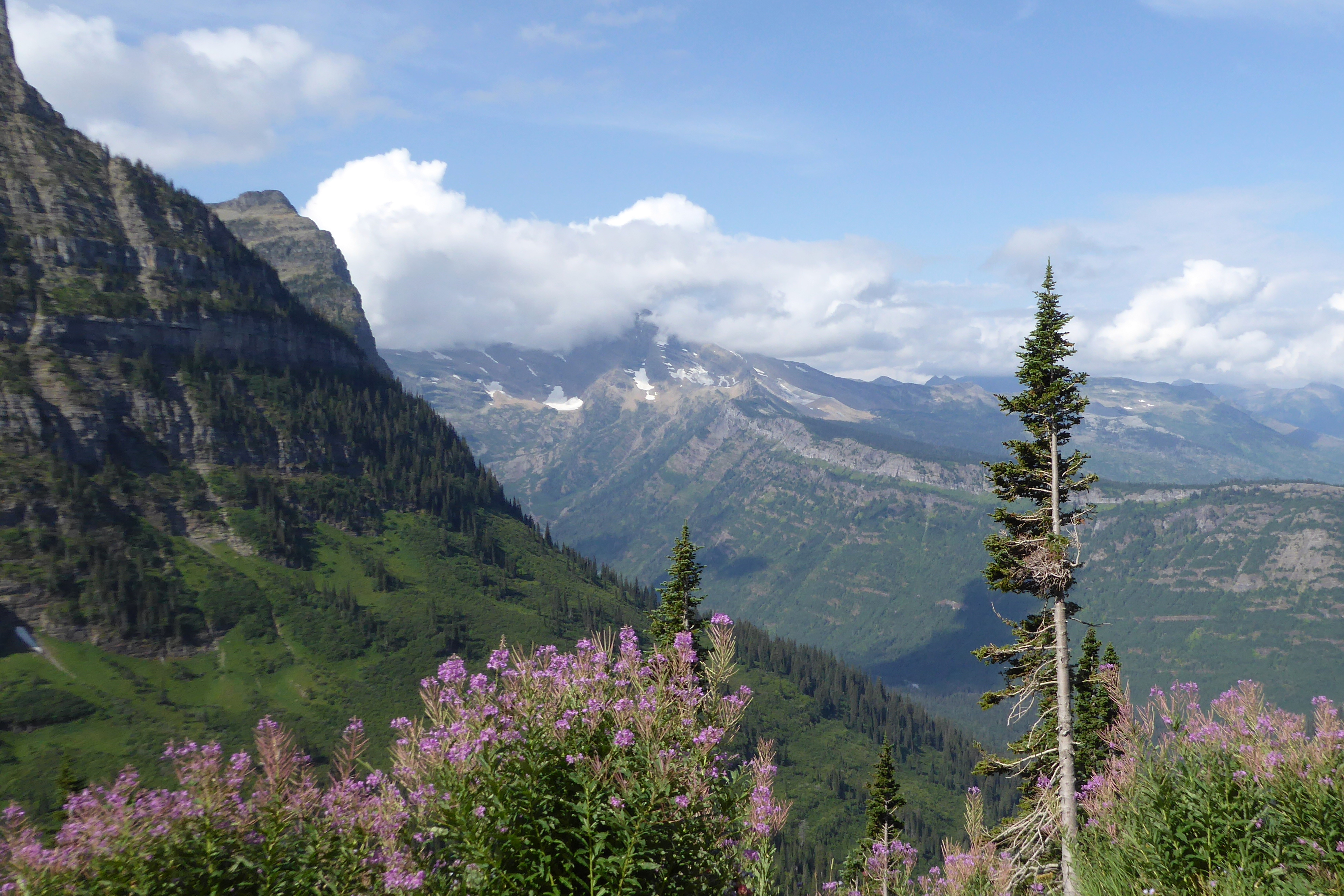
The windy, hairpin-curved road down from Logan Pass to Lake MacDonald was spectacular, making Going-to-the-Sun Road a must-see highlight of Glacier National Park. The road was the first to be recognized on the National Historic Registers as a Place, Landmark, and Civil Engineering Landmark. It crosses the Continental Divide, which marks the border between the eastern and western portions of North America. Rivers originating east of the divide flow into the Atlantic Ocean, while rivers with headwaters west of the divide flow to the Pacific. The panoramic views of the mountains and glaciers along the road was breathtaking!
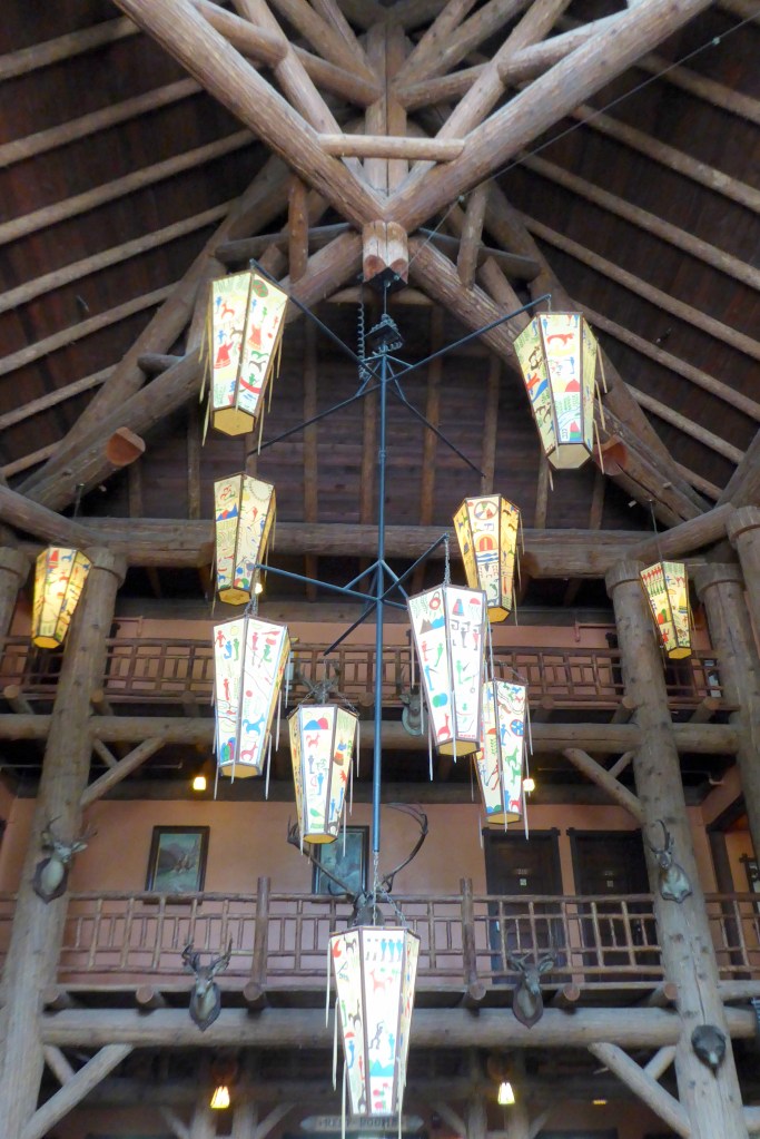
Our ride terminated at the Lake MacDonald Lodge, a beautiful location for our lunch break. While others dined in the lodge’s restuarant or skipped lunch, we parked ourselves on a bench behind the lodge to enjoy the panoramic views of the lake and enjoy the remainder of our huge grab-and-go breakfast. The setting was lovely, and it was a perfect end to a morning spent on one of the most beautiful roads I had ever traveled.
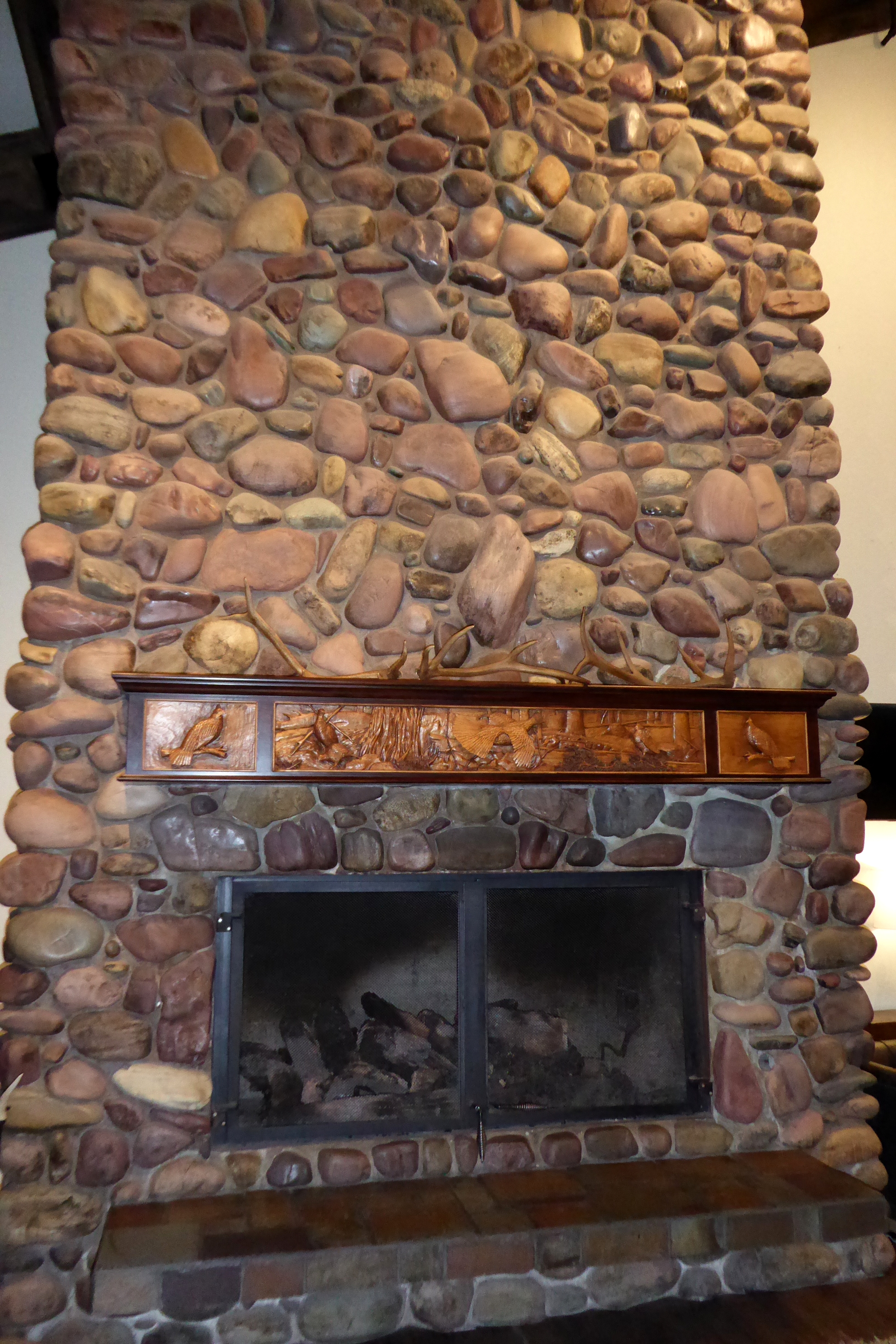
David, our bus driver, met us at the lodge and drove us the remainder of the way to the Grouse Mountain Lodge, in Whitefish, Montana; our home for the next two nights. As soon as I walked into the lobby and saw the massive rock fireplace with the carved wood mantel, I immediately loved the place. Besides, it had a pool—tiny, but large enough to prepare for some upcoming swim meets by doing a modified workout, and logging some yardage into my U.S. Masters Swimming Go the Distance fitness log. At just 30 feet long, the biggest challenge was trying to remember my lap count!
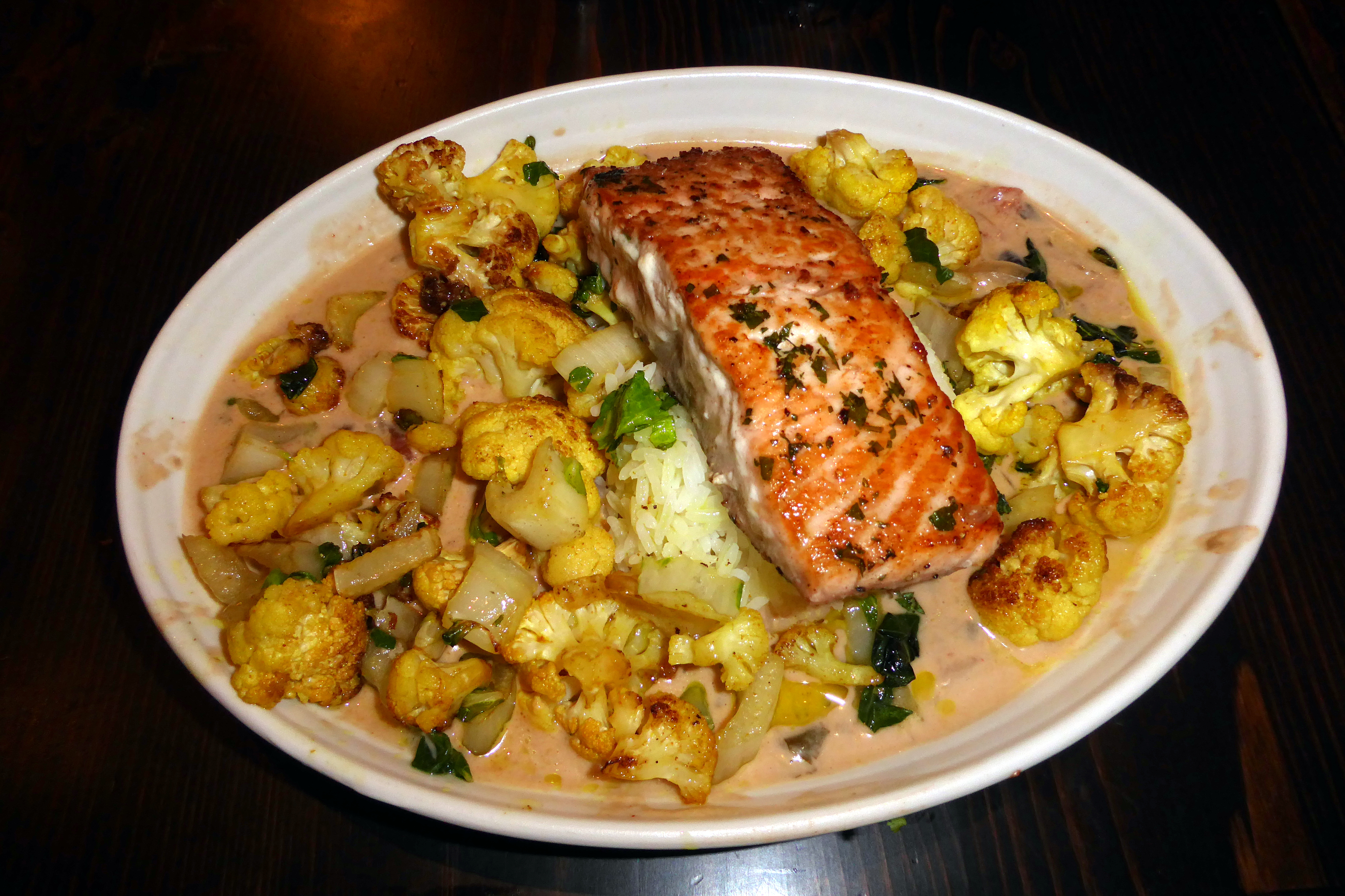
Grouse Mountain Grillwas where we savored our included group dinner to put an exclamation point on the day. The veggie option on our limited menu was grilled cauliflower, bok choy, (and more), in a coconut-ginger curry sauce. Salmon or chicken was an optional addition, so we extended our salmon streak and thoroughly enjoyed every bite.
We got a kick out of the dinner served to a couple in our group. It was Flinstone-sized full rack of ribs for each of them! They happily enjoyed the remainder of that rack throughout the following day.
The dessert, however, was what those of us who ordered chocolate torte raved about throughout the remainder of our tour. It was simply amazing. What a fabulous end to a wonderful day!
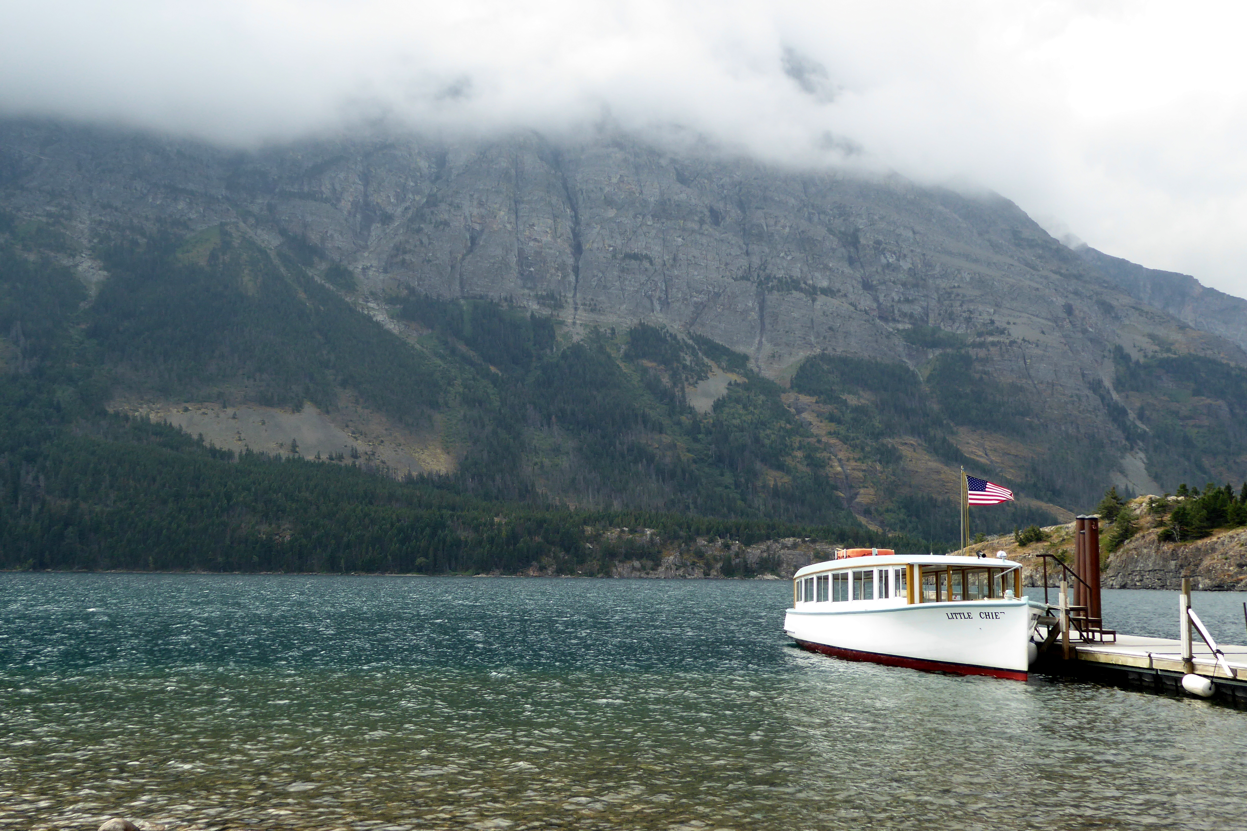
Except for this day during our cruise of St. Mary Lake, it was amazing how the sun came out during the best possible time during our sightseeing throughout our travels. Mother Nature worked her magic the previous day when we were enjoying the views of Waterton Lake from the Prince of Wales Hotel. As the afternoon progressed, the clouds enveloped the area when it no longer mattered. The same thing happened as our tour through the Canadian Rockies progressed, and we were amazed at the timing of the weather changes—all in our favor!
(For all pictures, click on the image to see full screen view.)
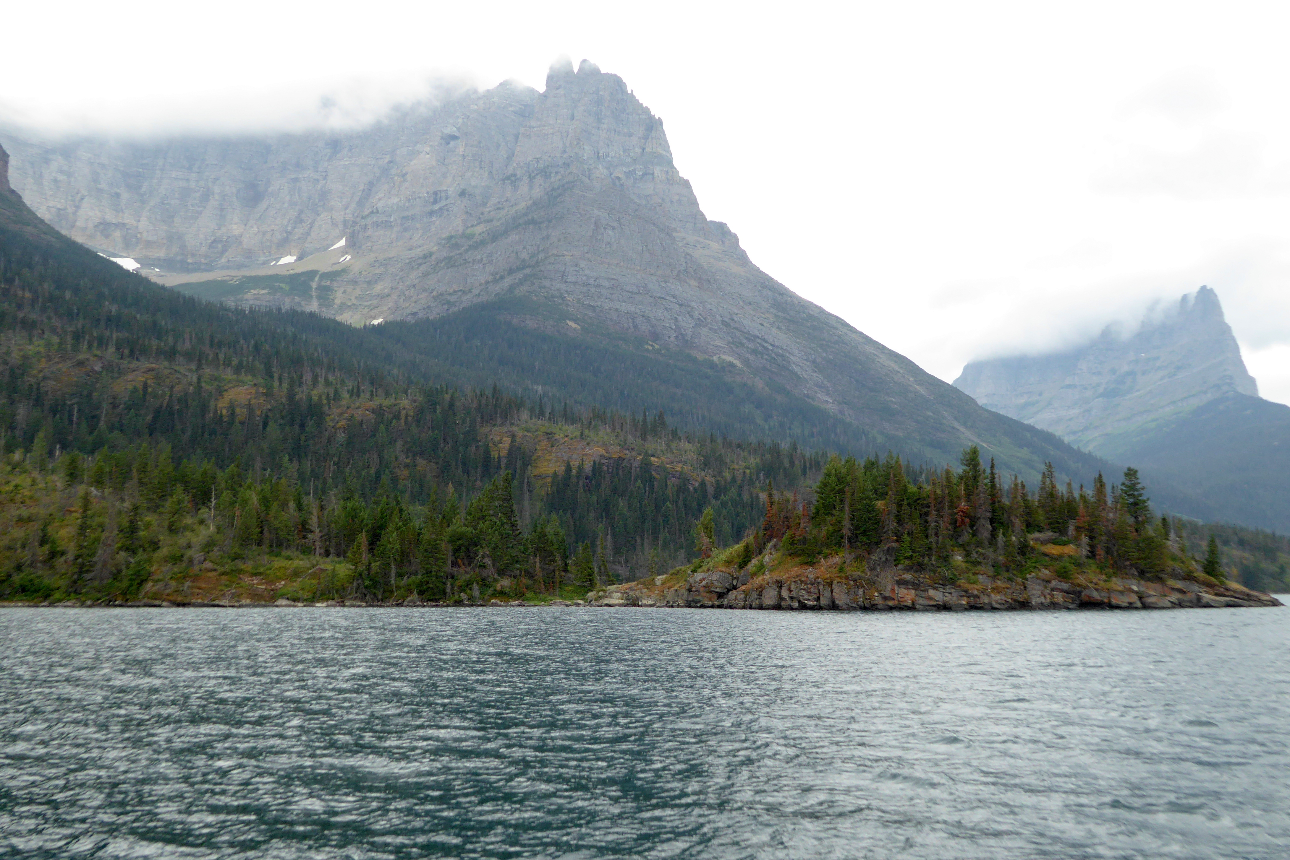
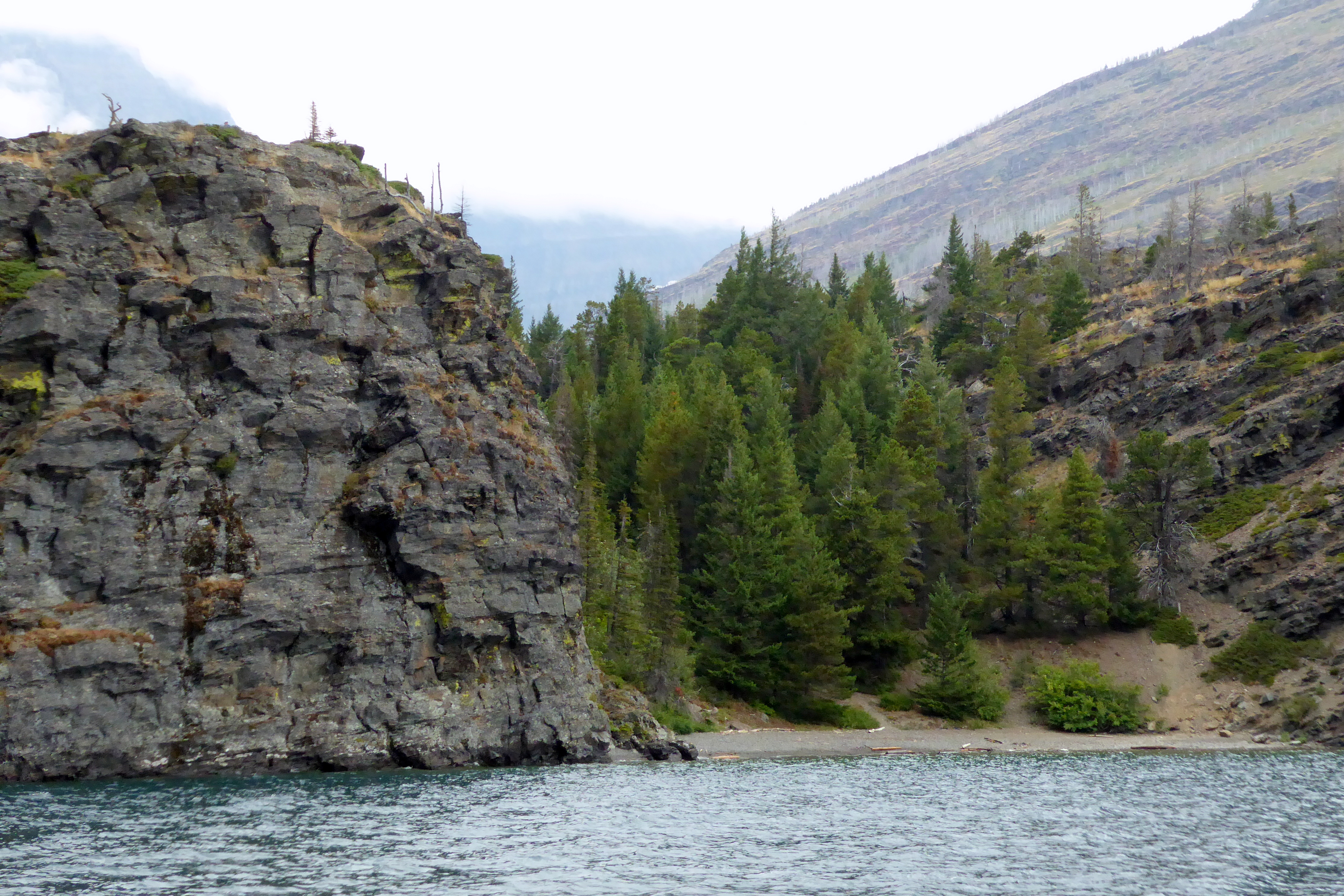
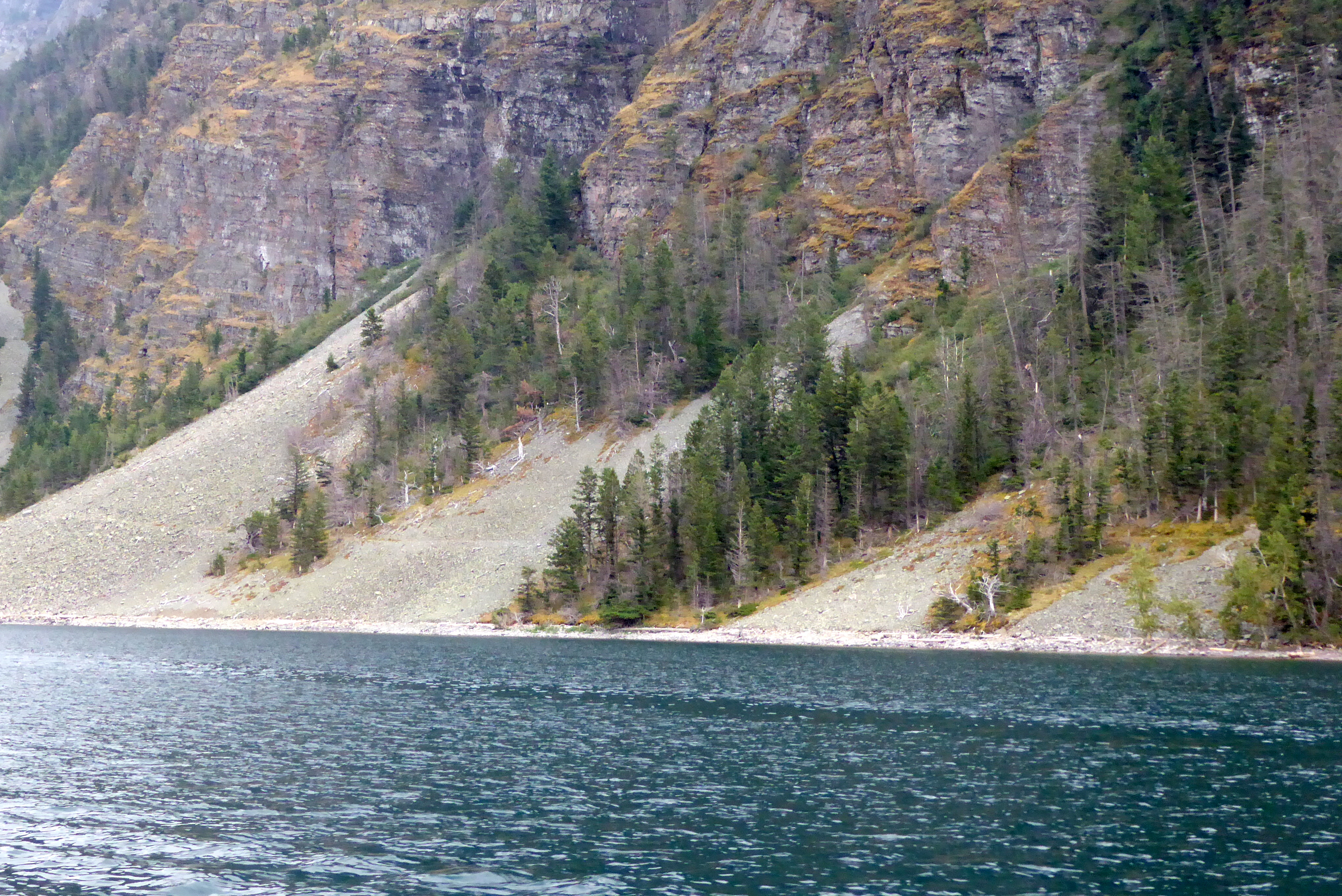
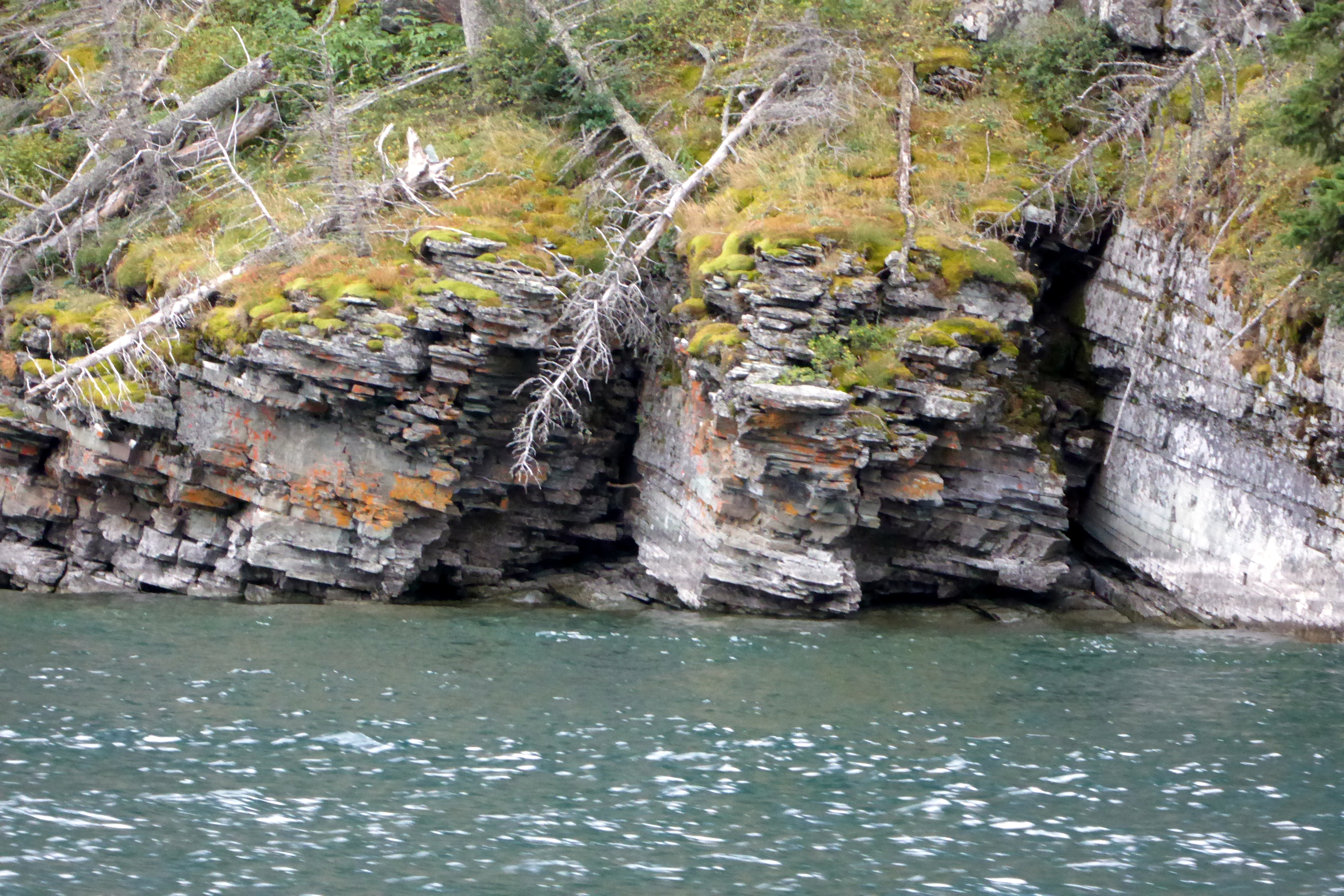
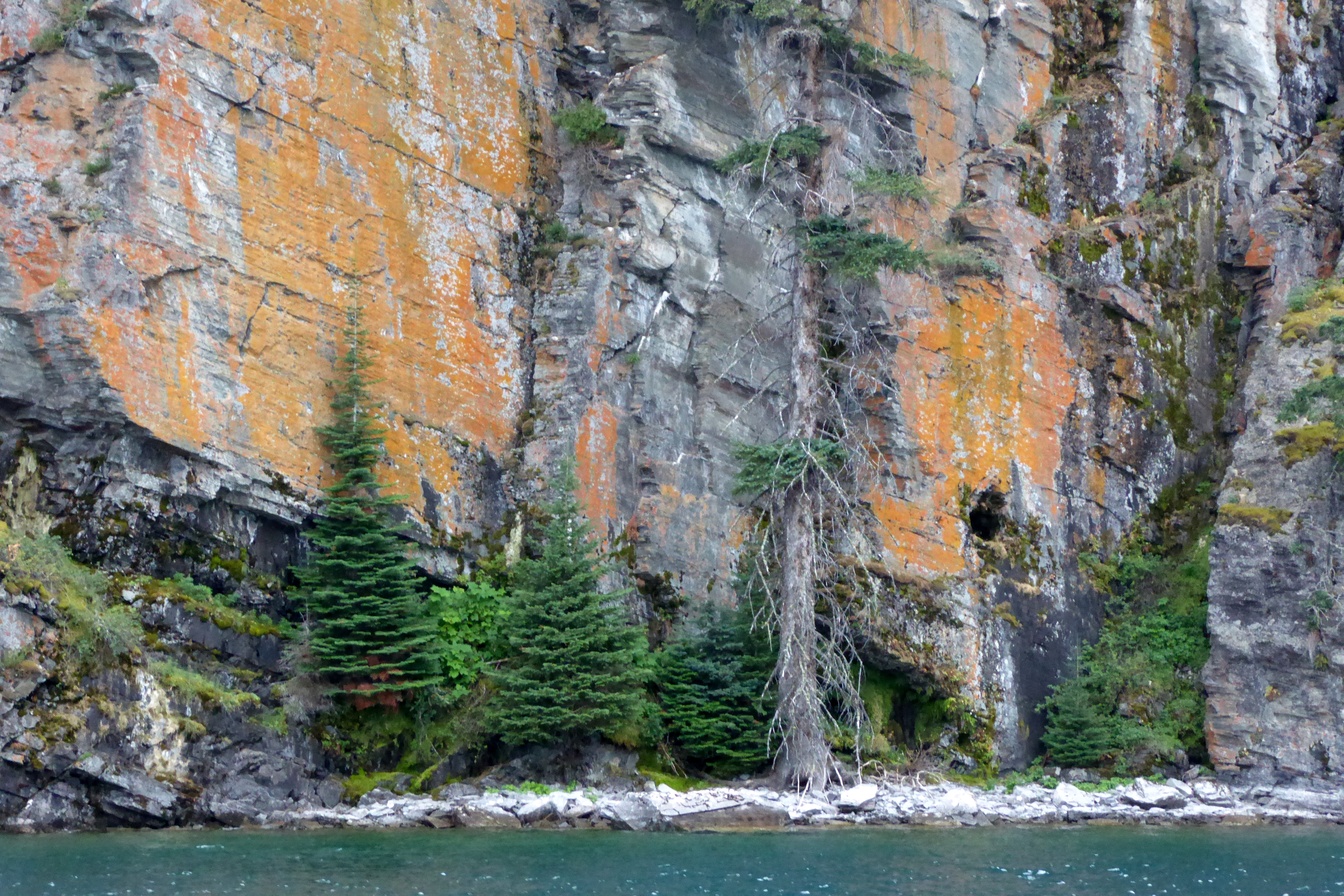
Located on the eastern side of Glacier National Park, St. Mary Lake is about ten miles long. Taking a narrated cruise was a wonderful way to see it and learn about the area. It was breathtaking to be surrounded by the steep mountains that began forming 170 million years ago, and to be on one of the park’s more than 130 named lakes. In all, the park encompasses more than 1 million acres!
I never saw Stanley Kubricks film, The Shining, but the opening scene was filmed at the lake. Scott showed us the beginning of the movie, so we could see the lake from a different perspective. Of course, the weather was perfect when they filmed the movie, but the low-hanging clouds did add drama to the gloom we experienced.
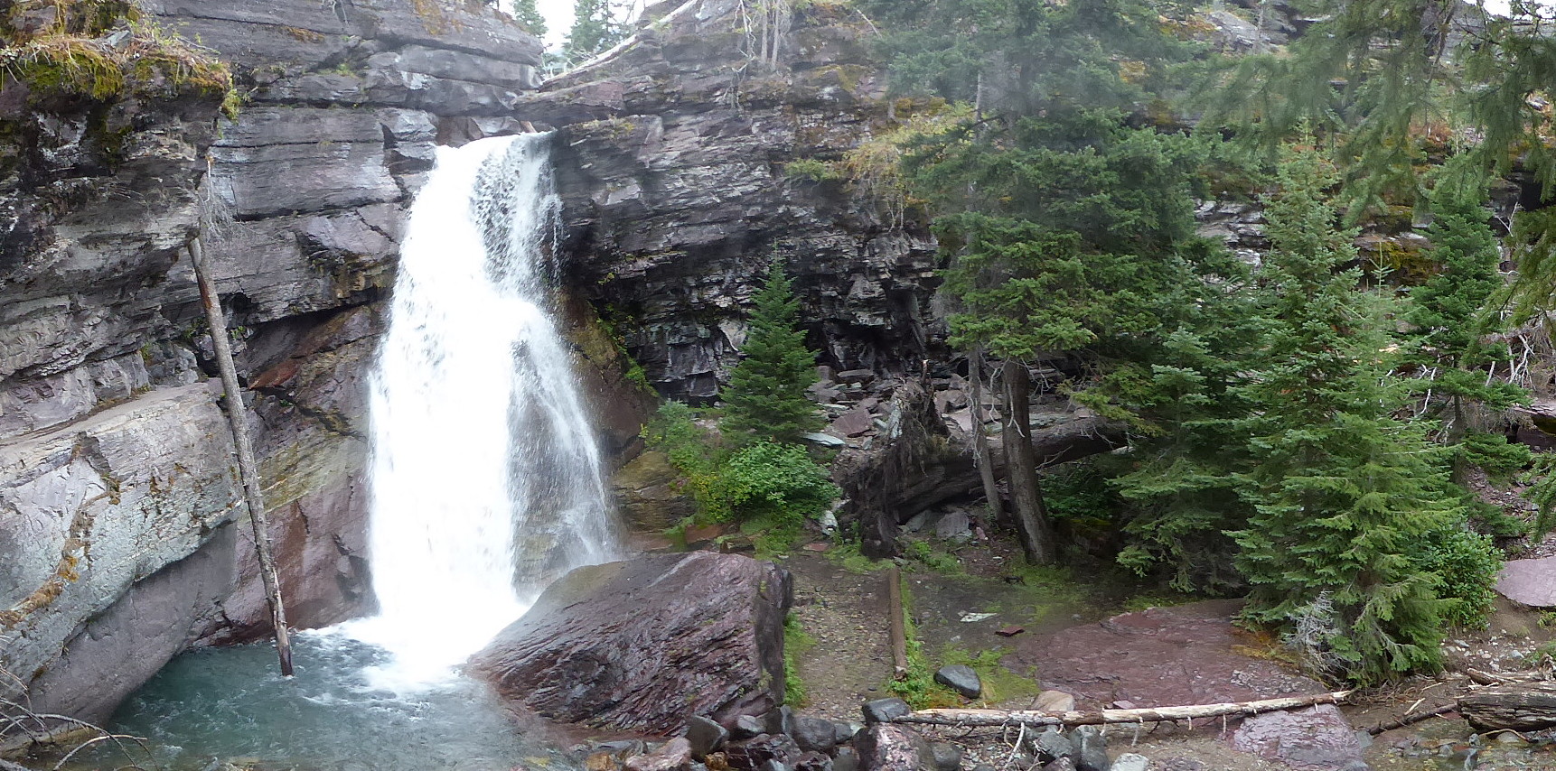
Halfway through the cruise, we docked for a short hike to see a beautiful waterfall:
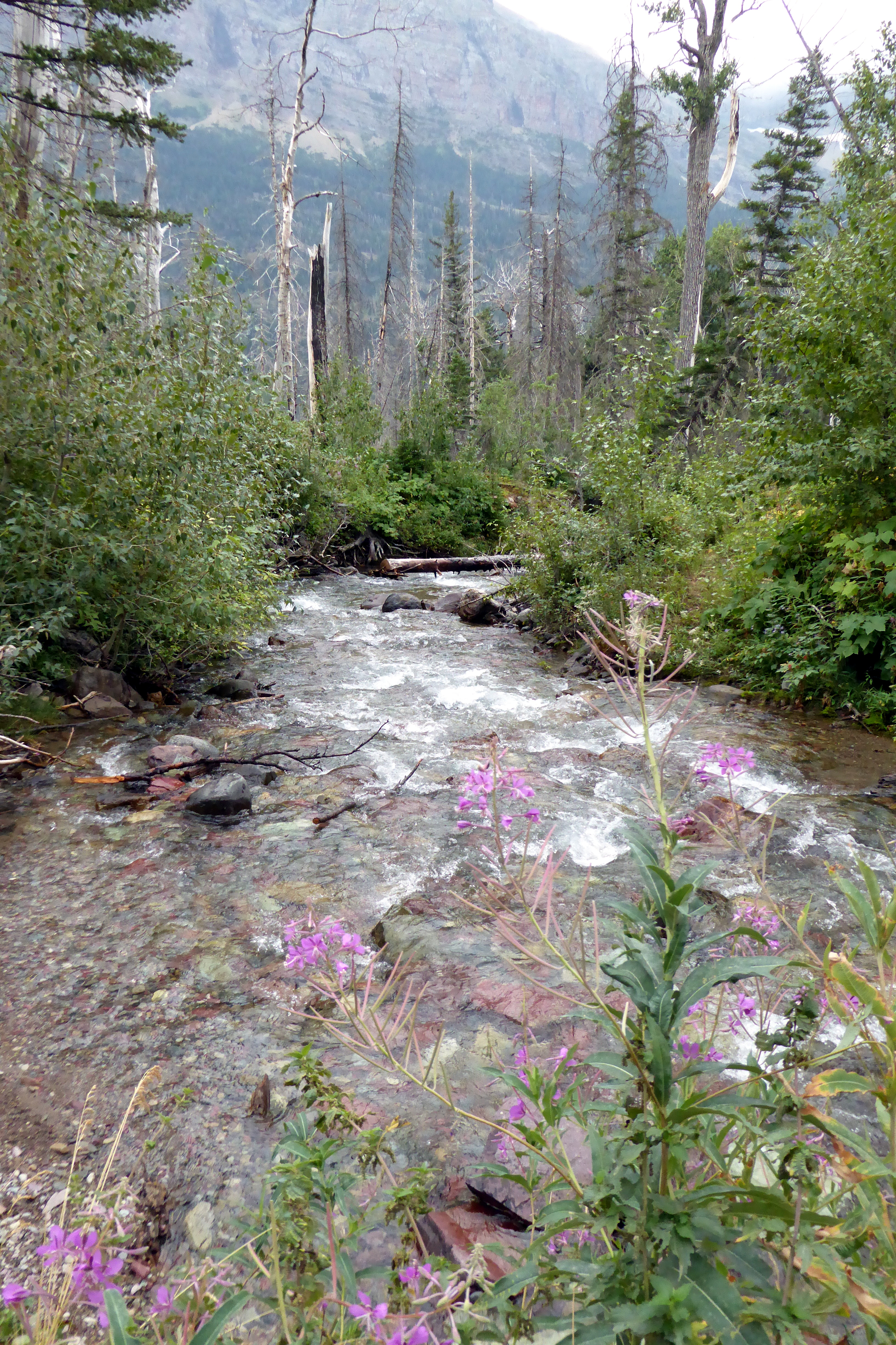
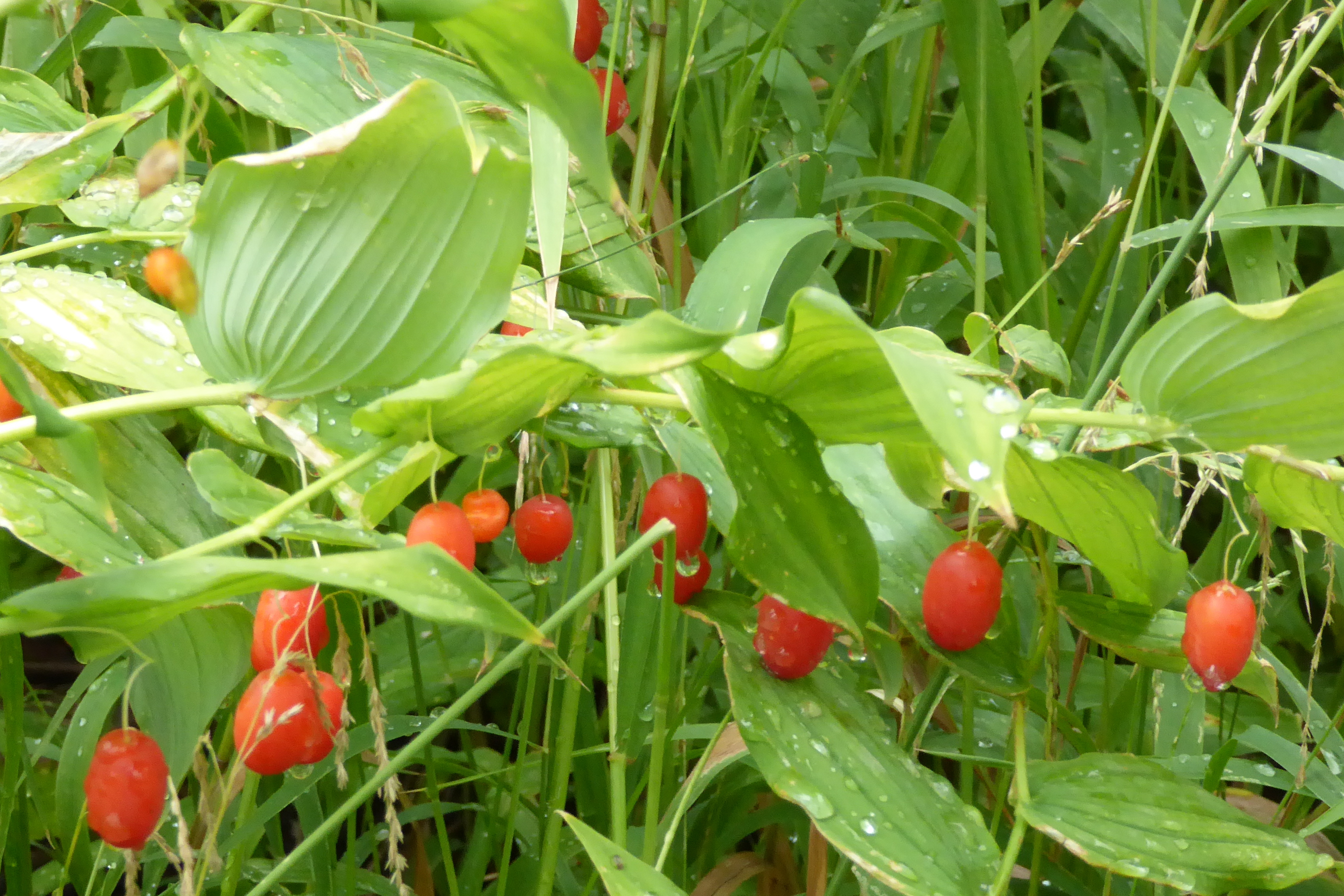
White Twisted Stalk- The flower that blooms from this plant is white and hangs from kinked twisted stalks. Towards the end of the season, it produces a berry that starts out green, changes to orange, then bright red.
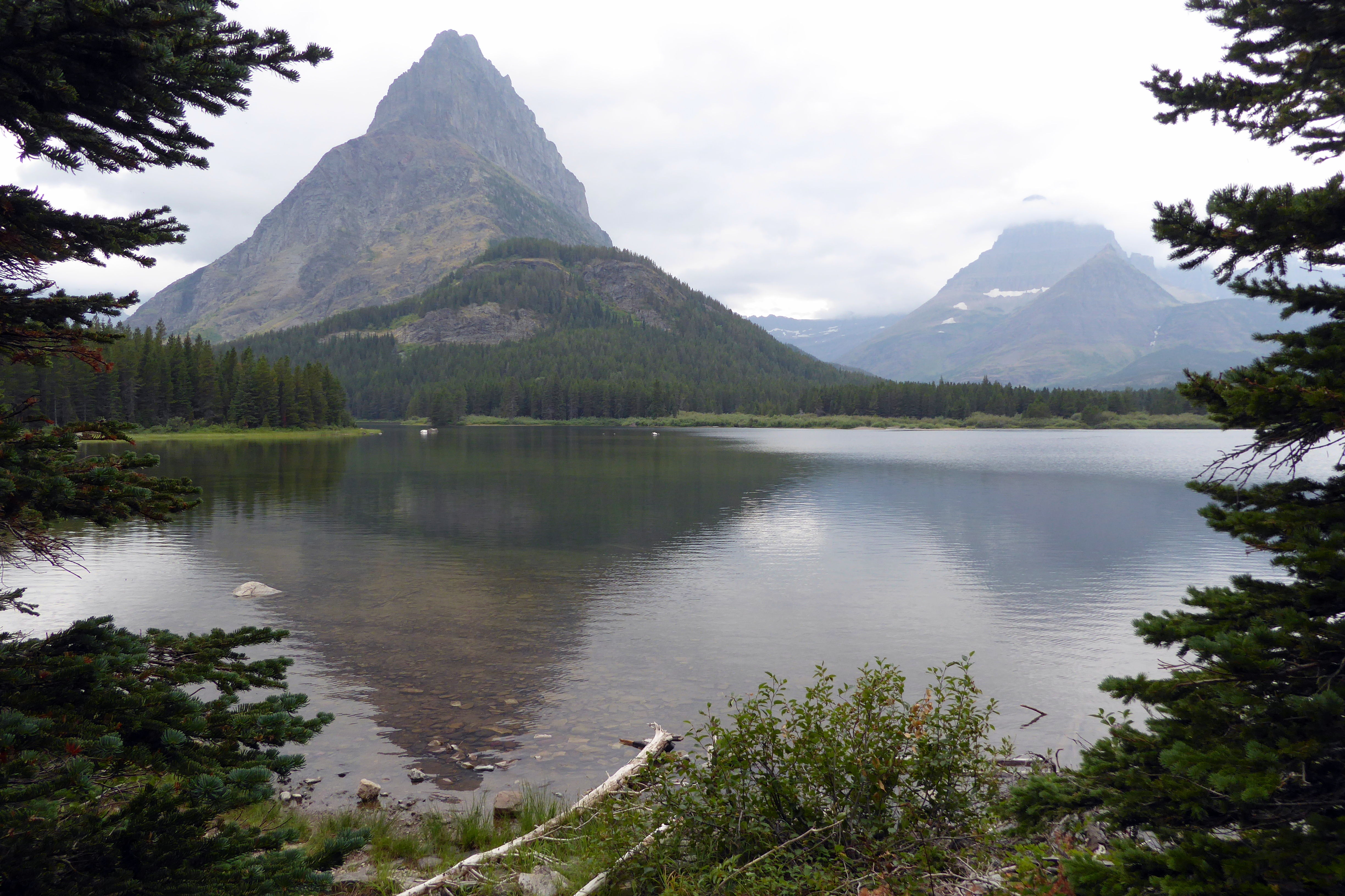
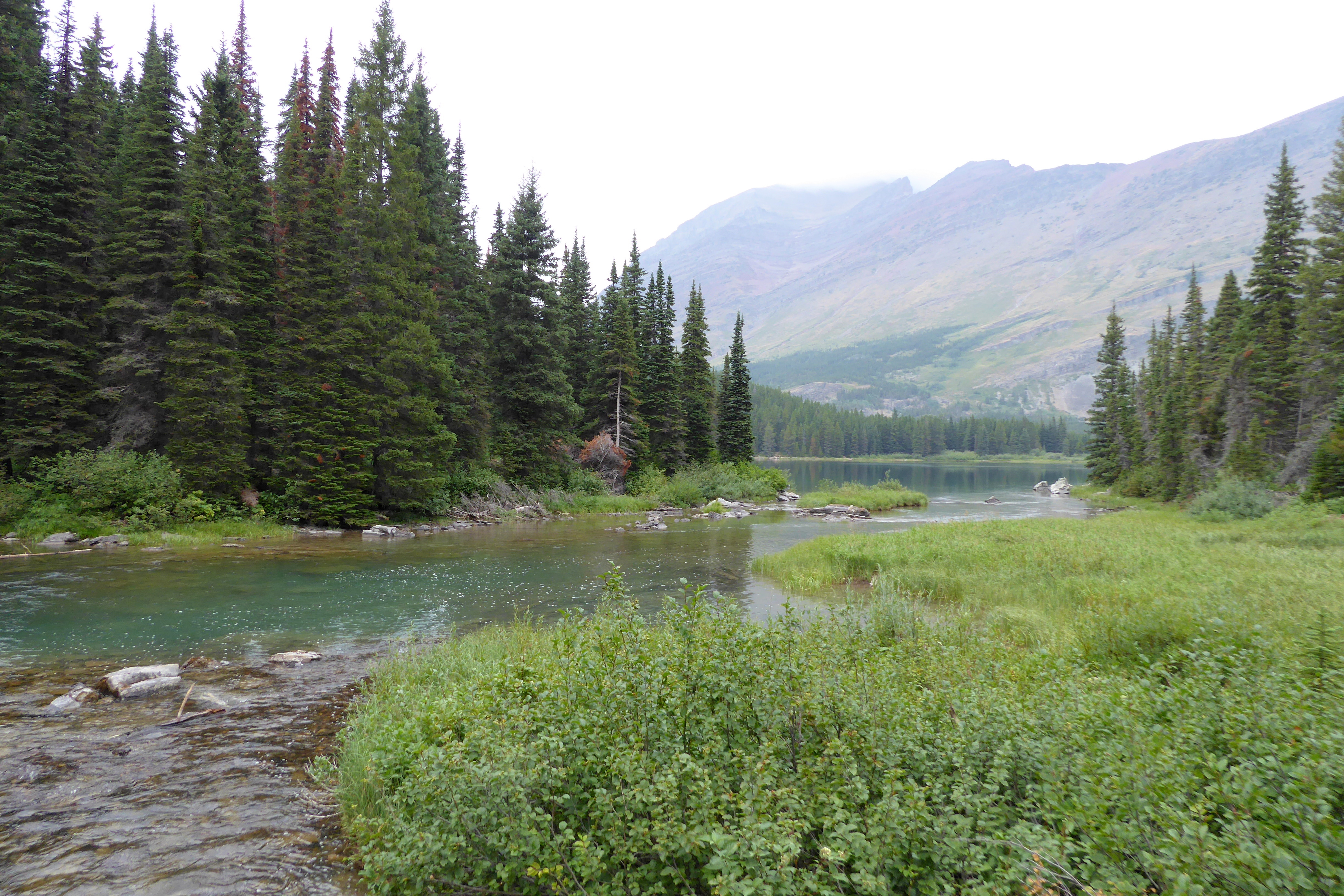
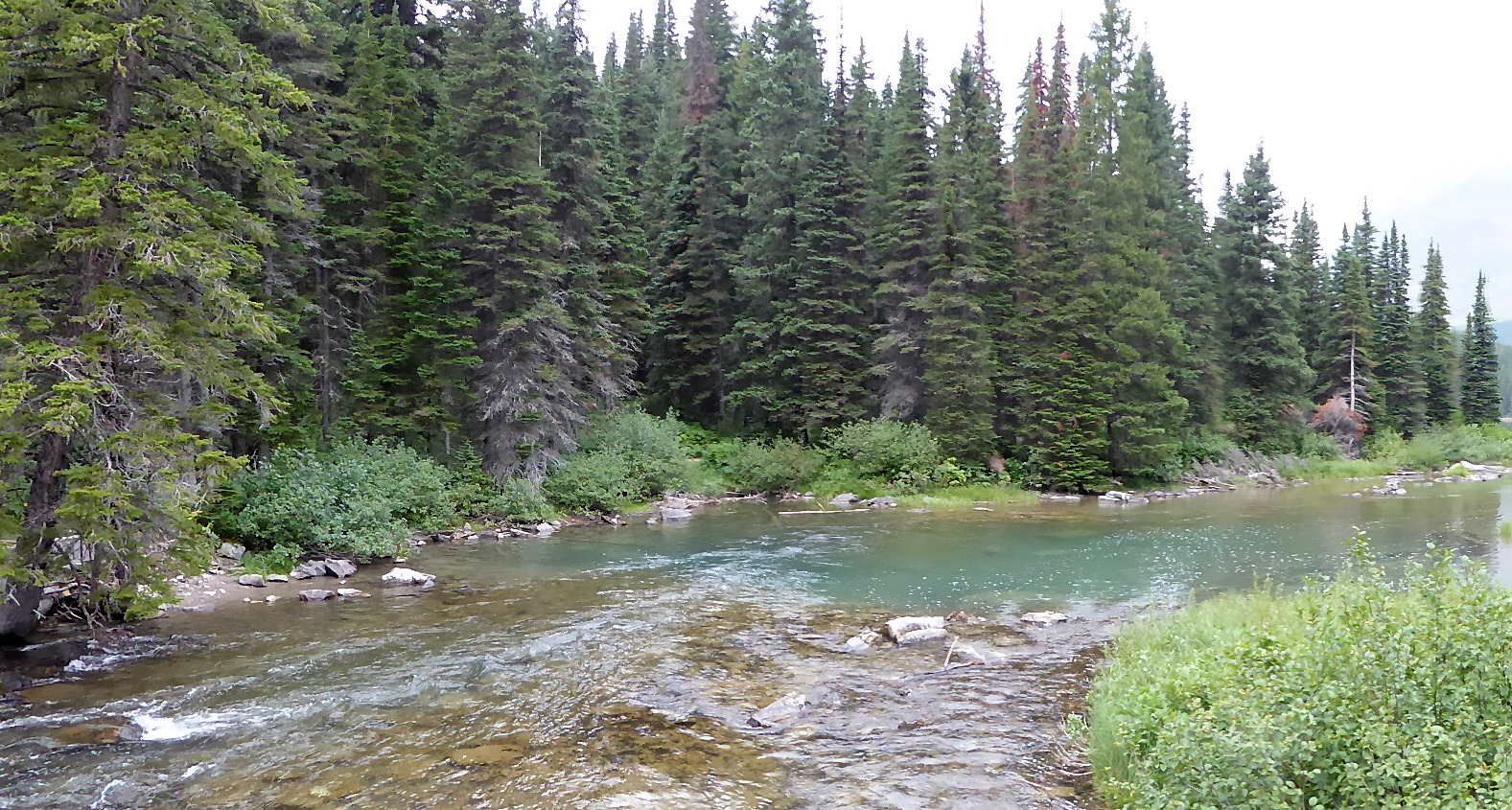
During the afternoon, we headed out to Many Glacier Hotel, located in the northeastern area of Glacier National Park. Built by the Great Northern Railway in 1914-15, the hotel is situated overlooking Swiftcurrent Lake. The area is known as “Switzerland of North America,” and it was beautiful! A hiking path circles the lake with great views of Many Glacier, the lake, and the hotel. If you are lucky enough, you will also see a lot of wildlife. Along with Linda, one of the other group members, we hiked ahead at a faster pace and just caught a glimpse of a female moose with her baby as they ran across our path and headed into the woods. I tried to capture a photo, but all I got was a blurry shot of Mom and the butt of her baby. It all happened so quick! As it turned out, that was our only moose sighting of the trip; and, other than elk, we never saw any other large animals, such as bears or mountain goats. It became a joke with our group as Scott’s confidence in seeing wildlife resulted in spotting nothing but small rodents. That was where our luck ended…
A gloomy view during our walk near the Many Glacier Hotel
Scott capturing a reflection photo
Many Glacier Hotel
I thoroughly enjoyed all of our walks and hikes, though, and savored the fresh air and gorgeous (“gowajus”) sites. (That was another joke with the group. Linda, her friend, Wanda, and their husbands were from New Jersey; so, Scott playfully poked fun at their accent with his Kiwi/Australian/Canadian/British accent—a melting pot of some of the places he had lived since leaving New Zealand at the age of 19.) We laughed a lot on this trip!
The evening was spent back at St. Mary Village where Bruce and I thoroughly enjoyed using our dinner vouchers for a repeat of the night before, except for a change in Sweet Peaks ice cream flavors. We even had the same nice waitress!
Next up: Riding the Red Jammers along Going-to-the-Sun Road