Mill Street Plaza, Downtown Grass Valley:

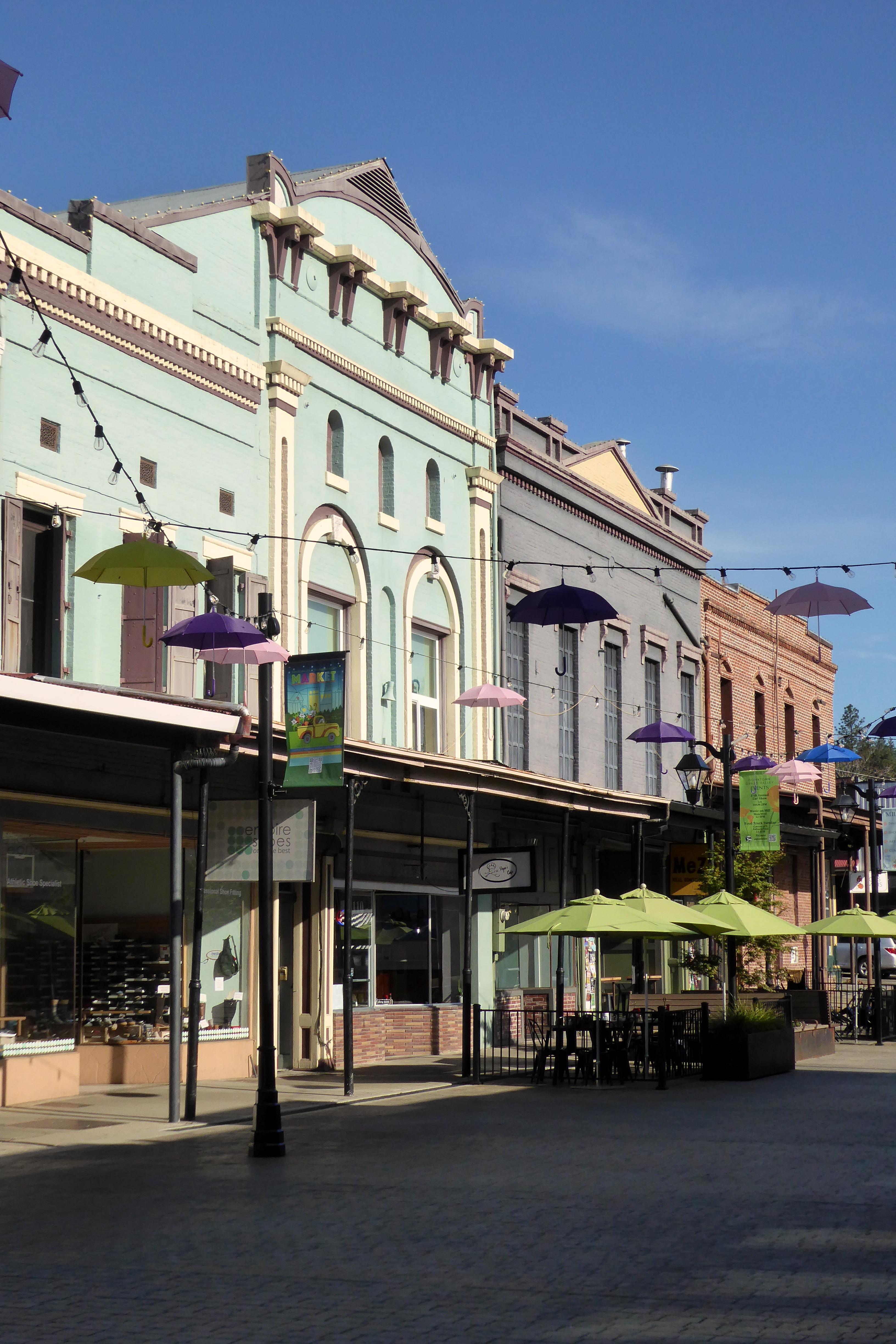

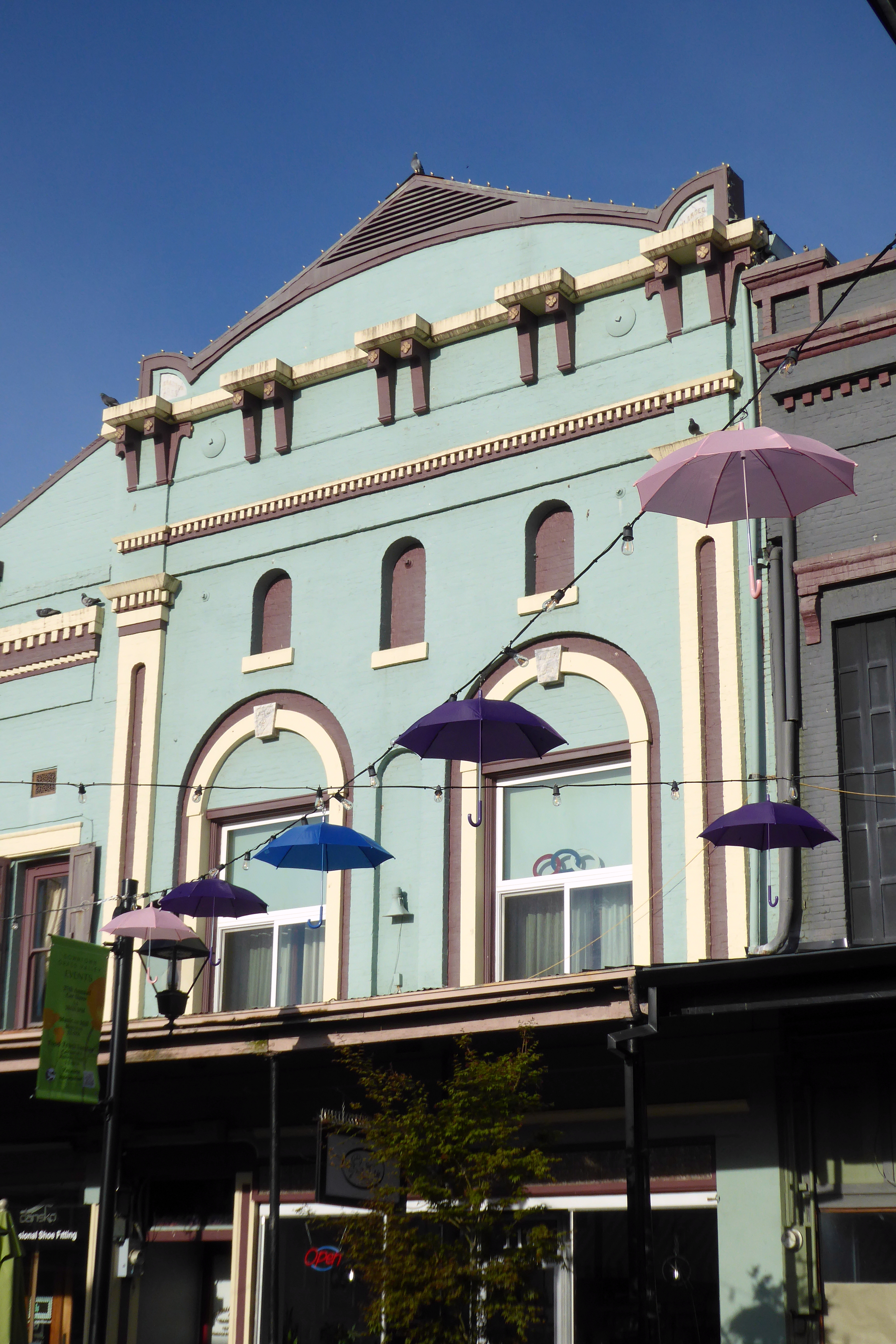


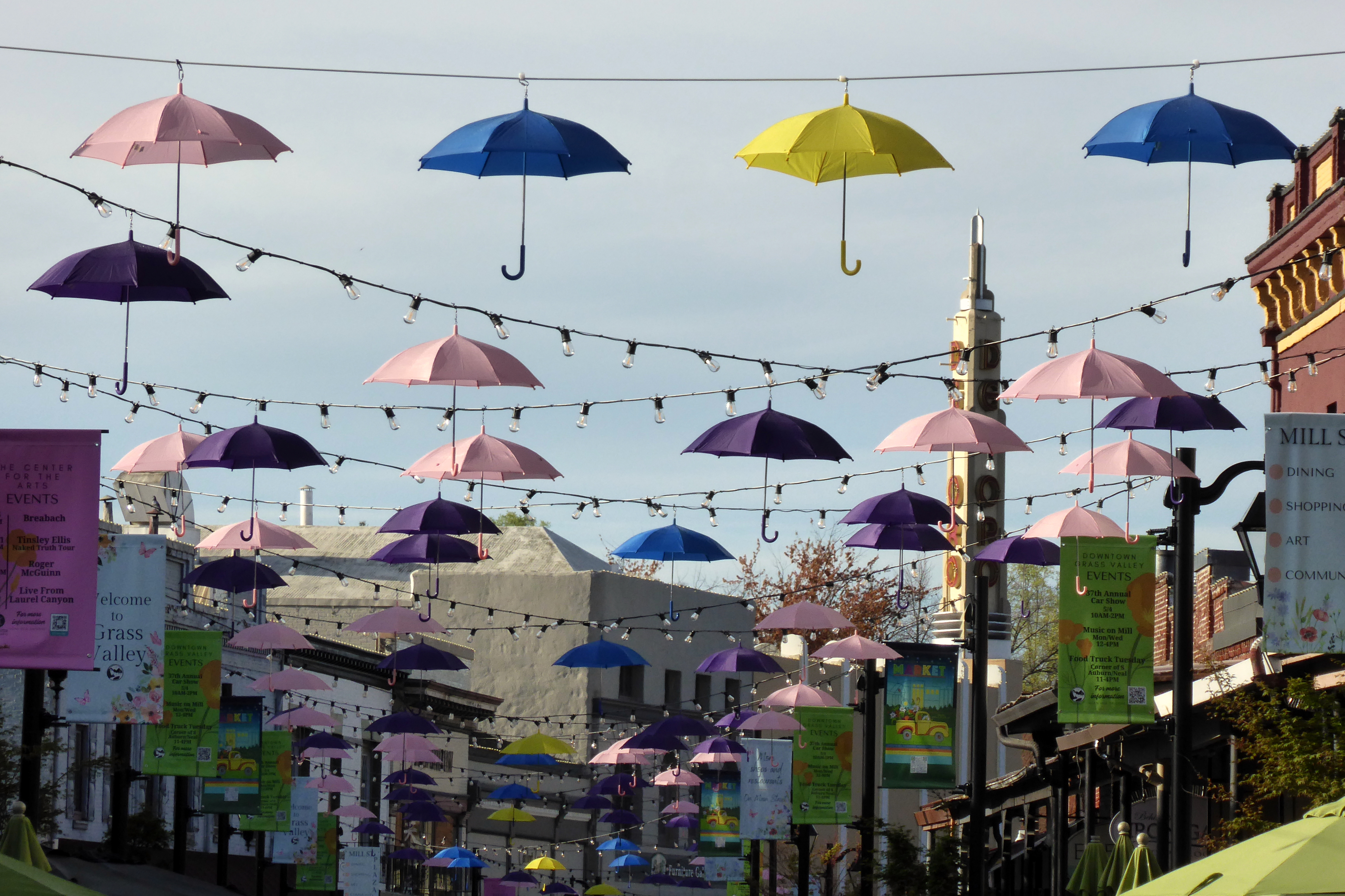

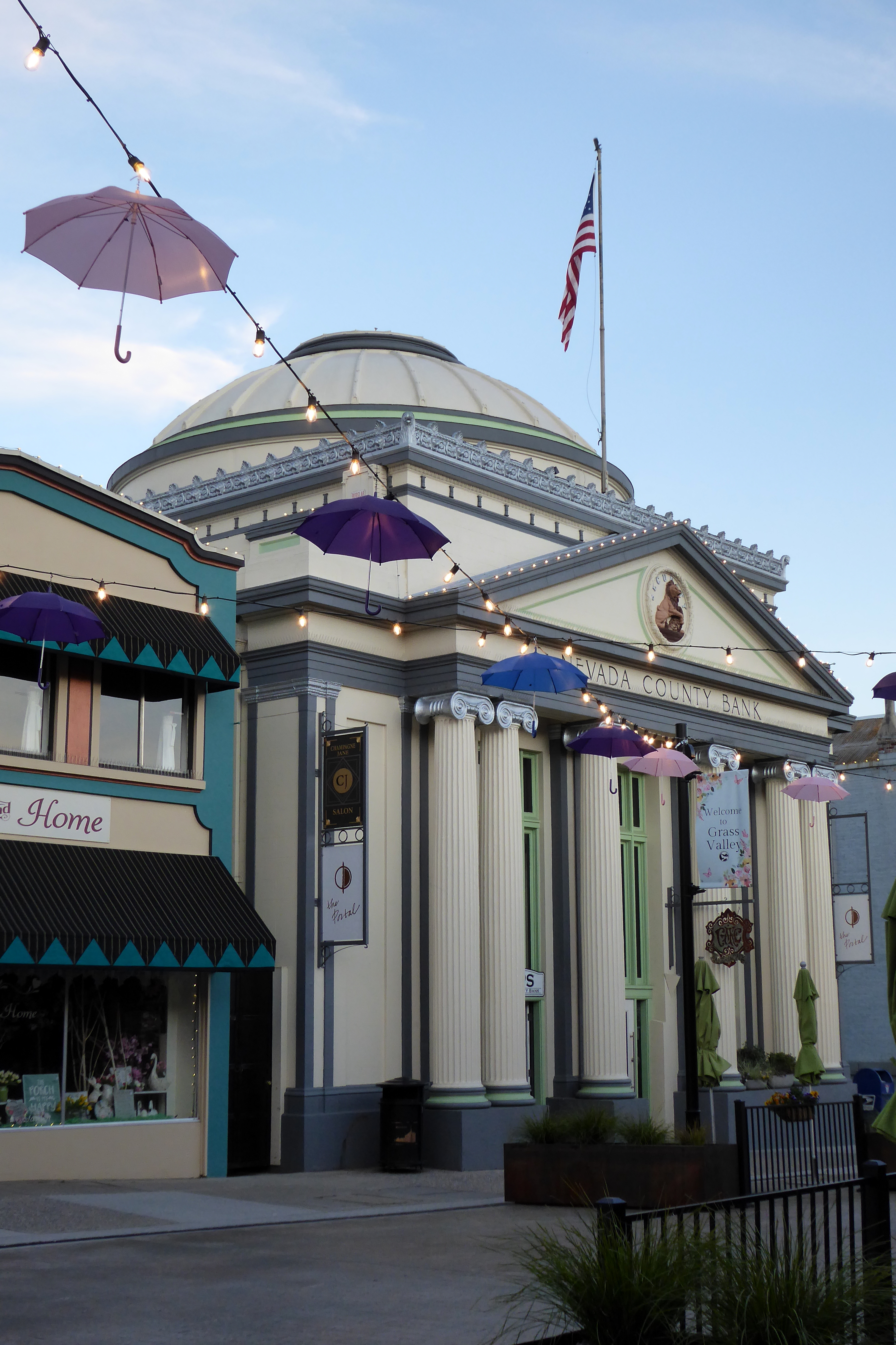
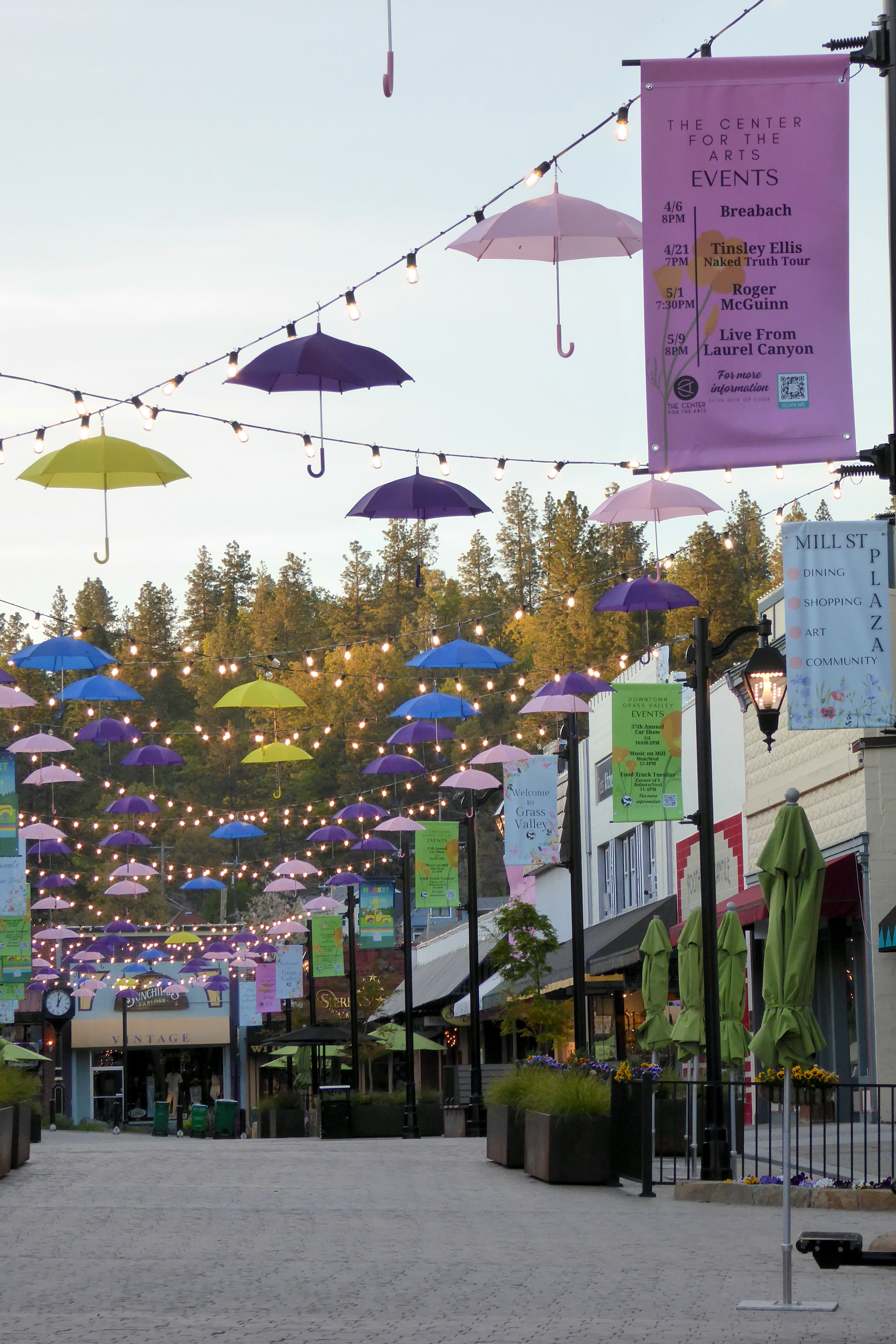
Mill Street Plaza, Downtown Grass Valley:
What the previous day may have lacked in excitement and beautiful scenery was more than made up for on this day. Just wait…
Before you get to see the glacier, I must show you the Rhea I photographed out the bus window. We saw a bunch of them, but this was the best shot I captured:
(For all photos, especially panoramas, click on the image for a full screen view.)

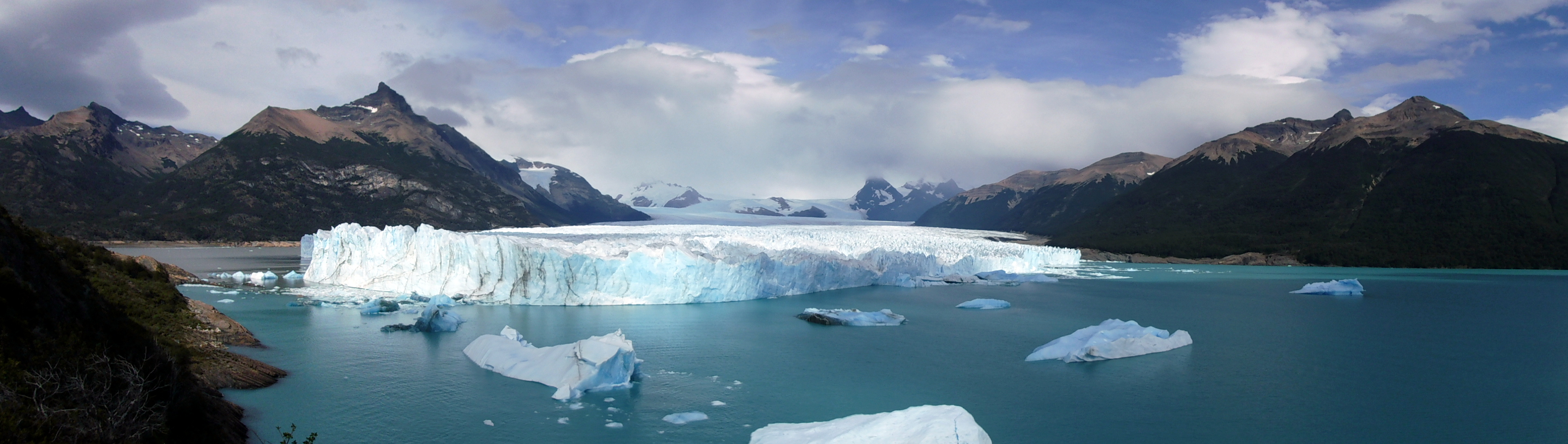
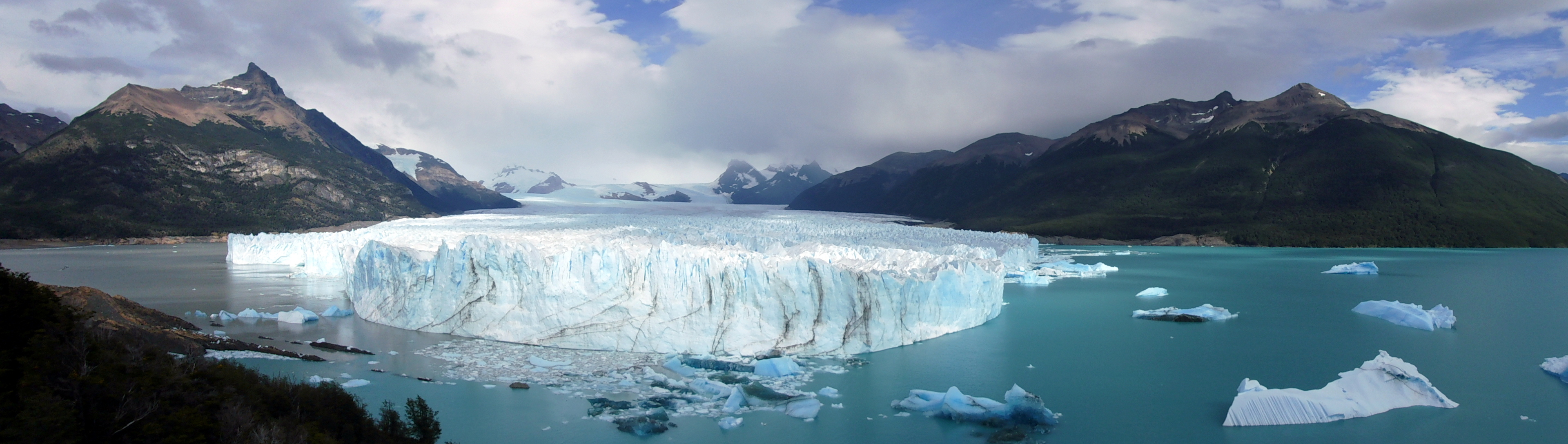
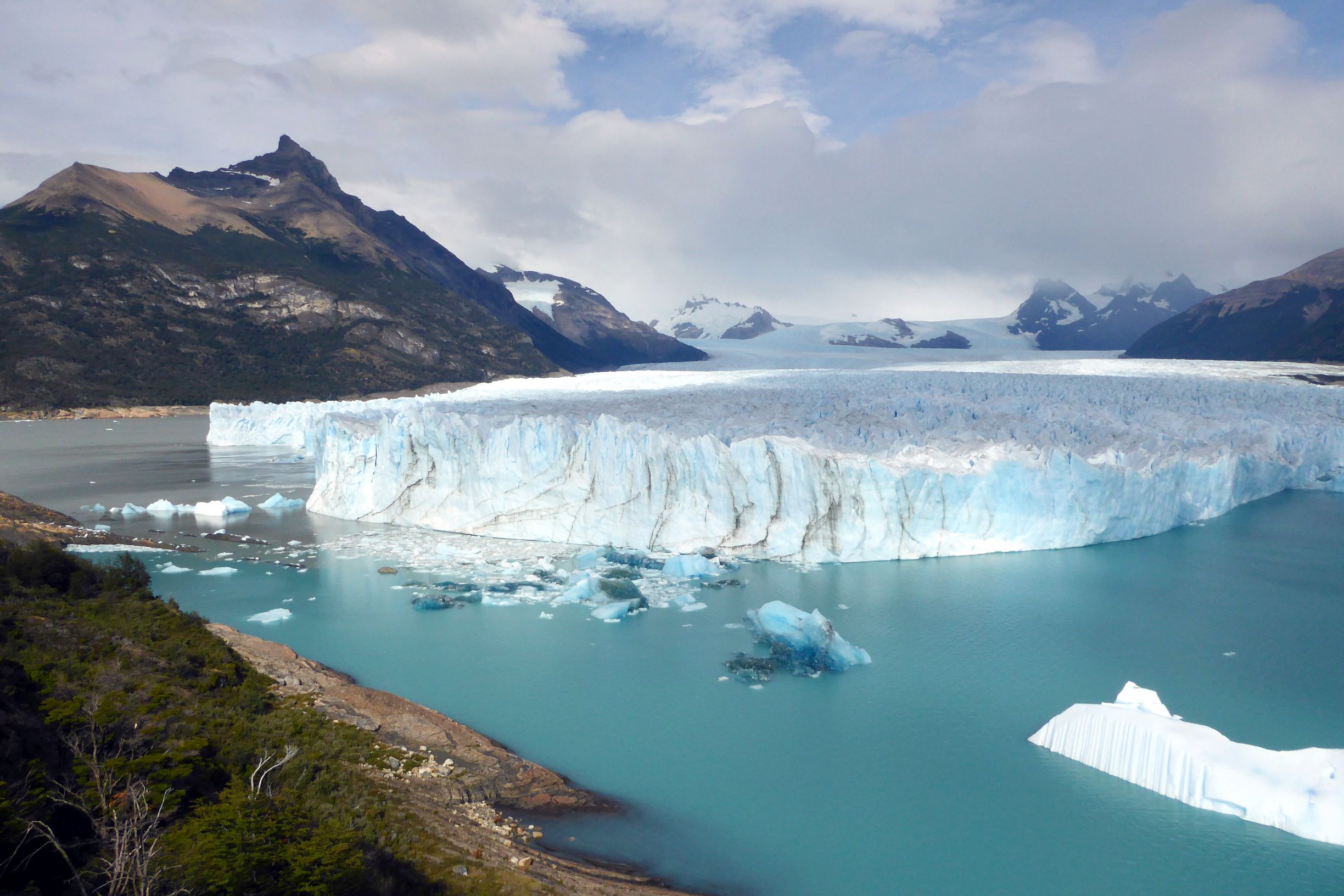
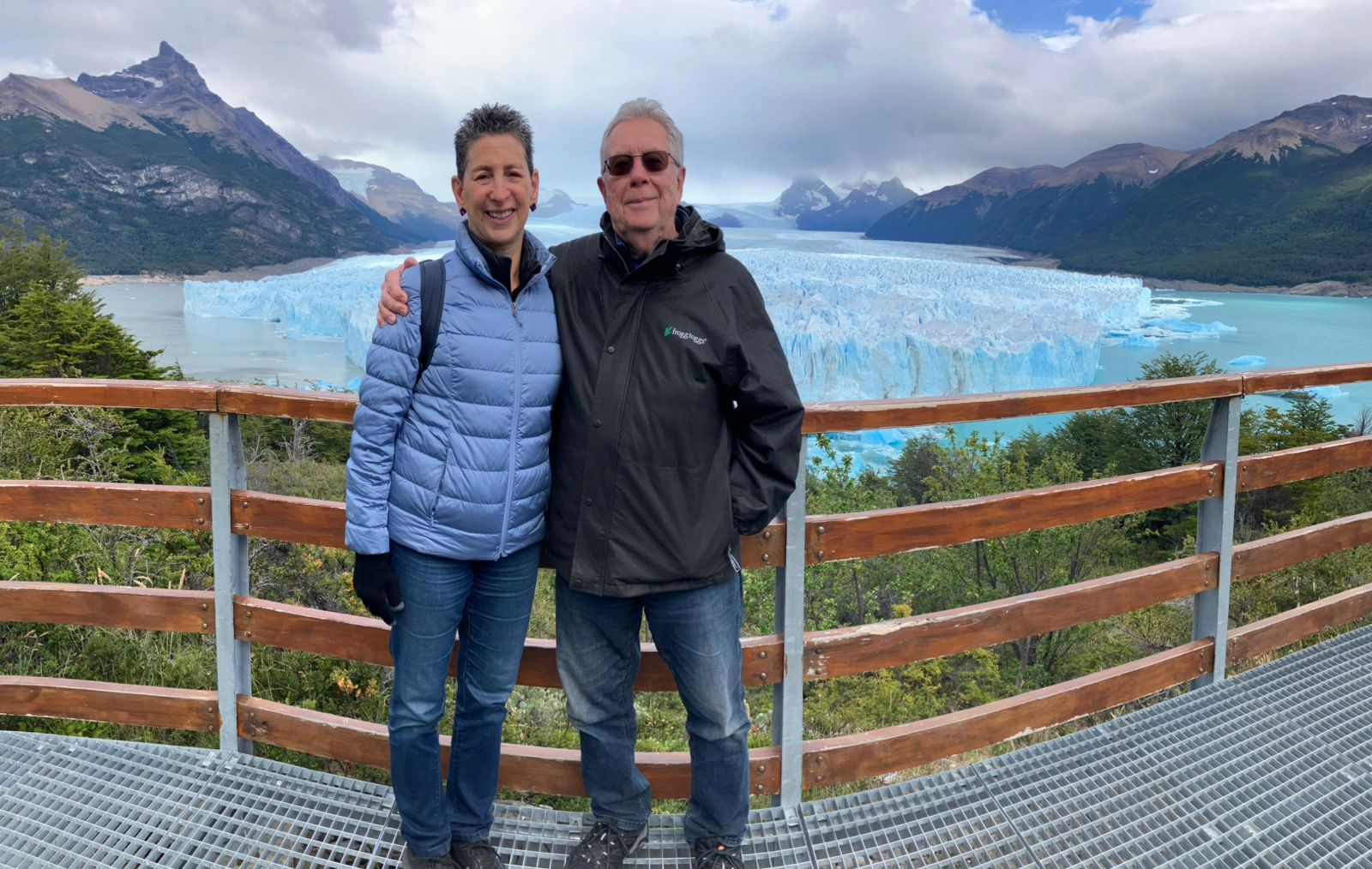
Ok, now I am going to overload you with way too many pictures of Perito Moreno Glacier in Los Glaciares National Park. See how I provided those links? That is how you can learn more about these amazing beauties of Patagonia— another link! I will just let these photos (mostly) speak for themselves. I will preface them by saying I was totally impressed by the infrastructure (including handicap accessible ramps) provided to enjoy spectacular views. The color-coded, well-marked walkways and stairs made it so easy to wander with a plan in mind—and, without getting lost. It is the best I had ever seen anywhere. Gracias totales, Los Glaciares National Park!





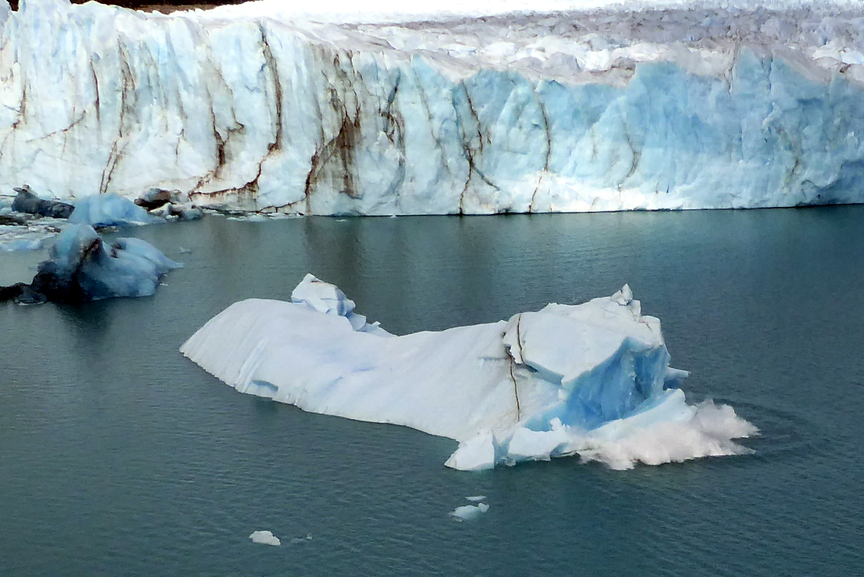
Here is a calving sequence:

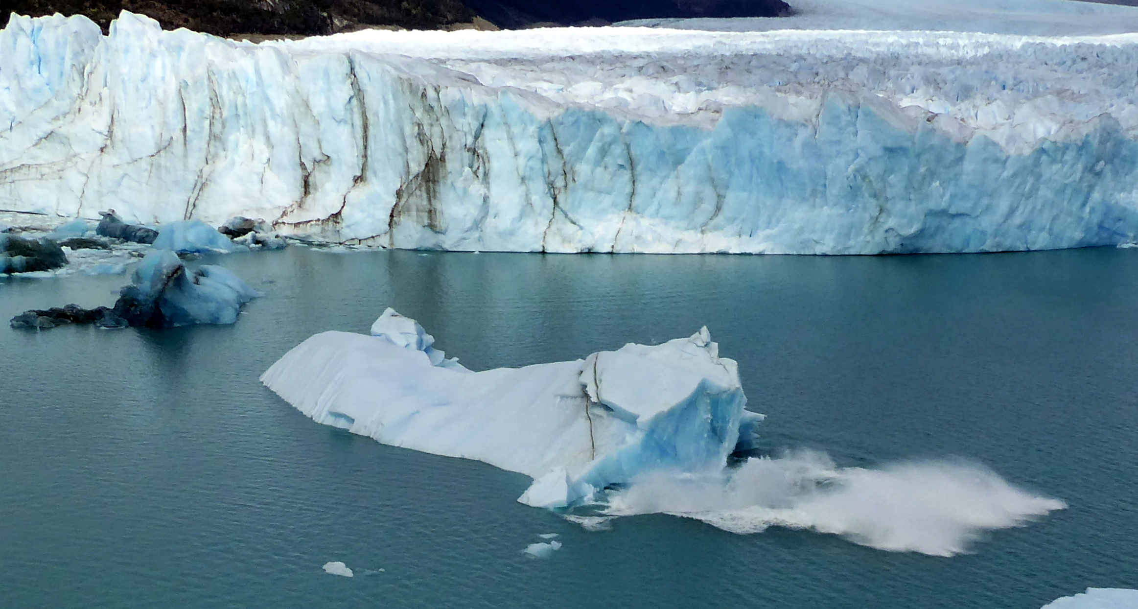

For an up close and personal view of the glacier, our group boarded a boat and were able to witness a lot of calving of the glacier.


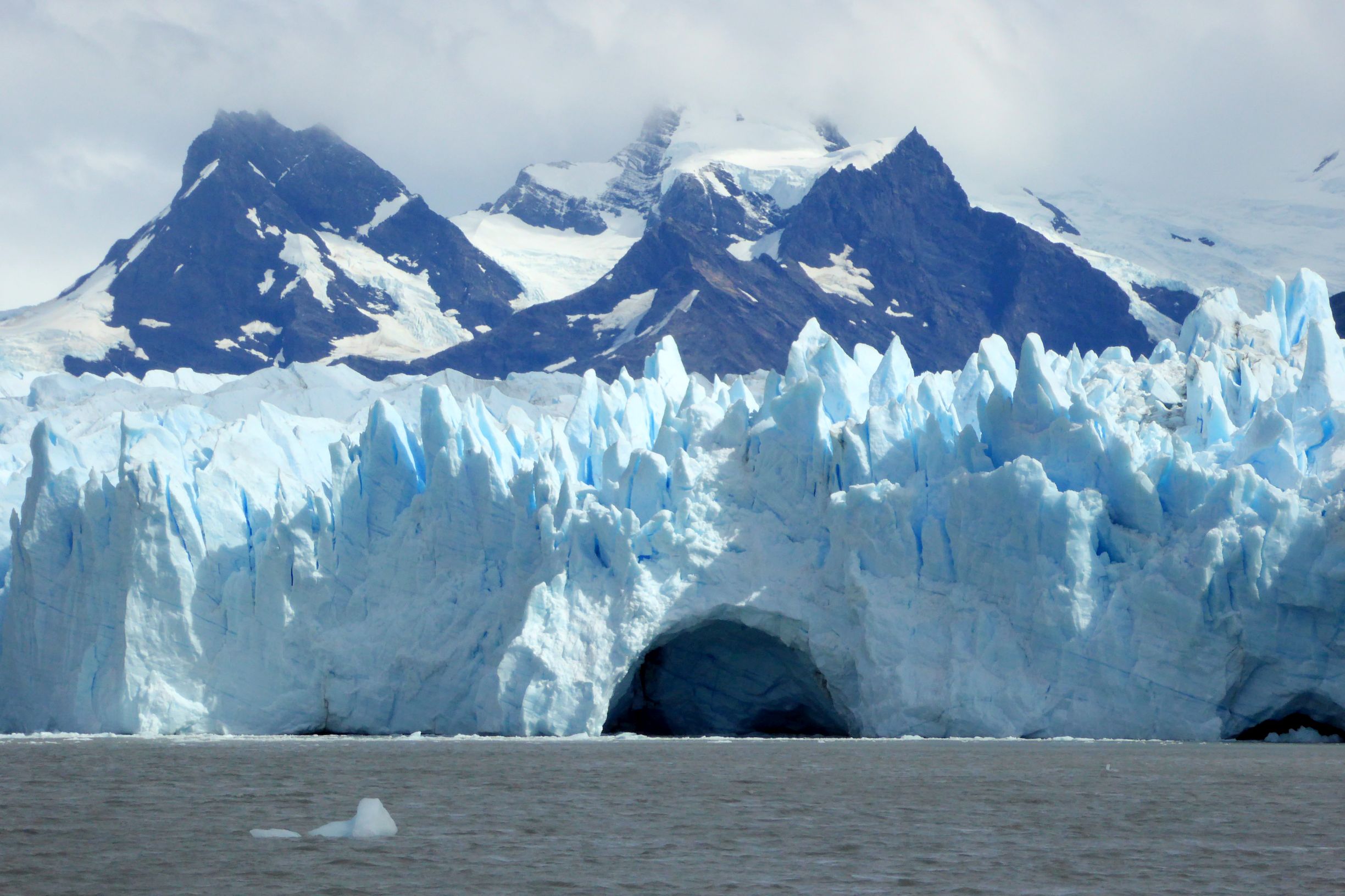


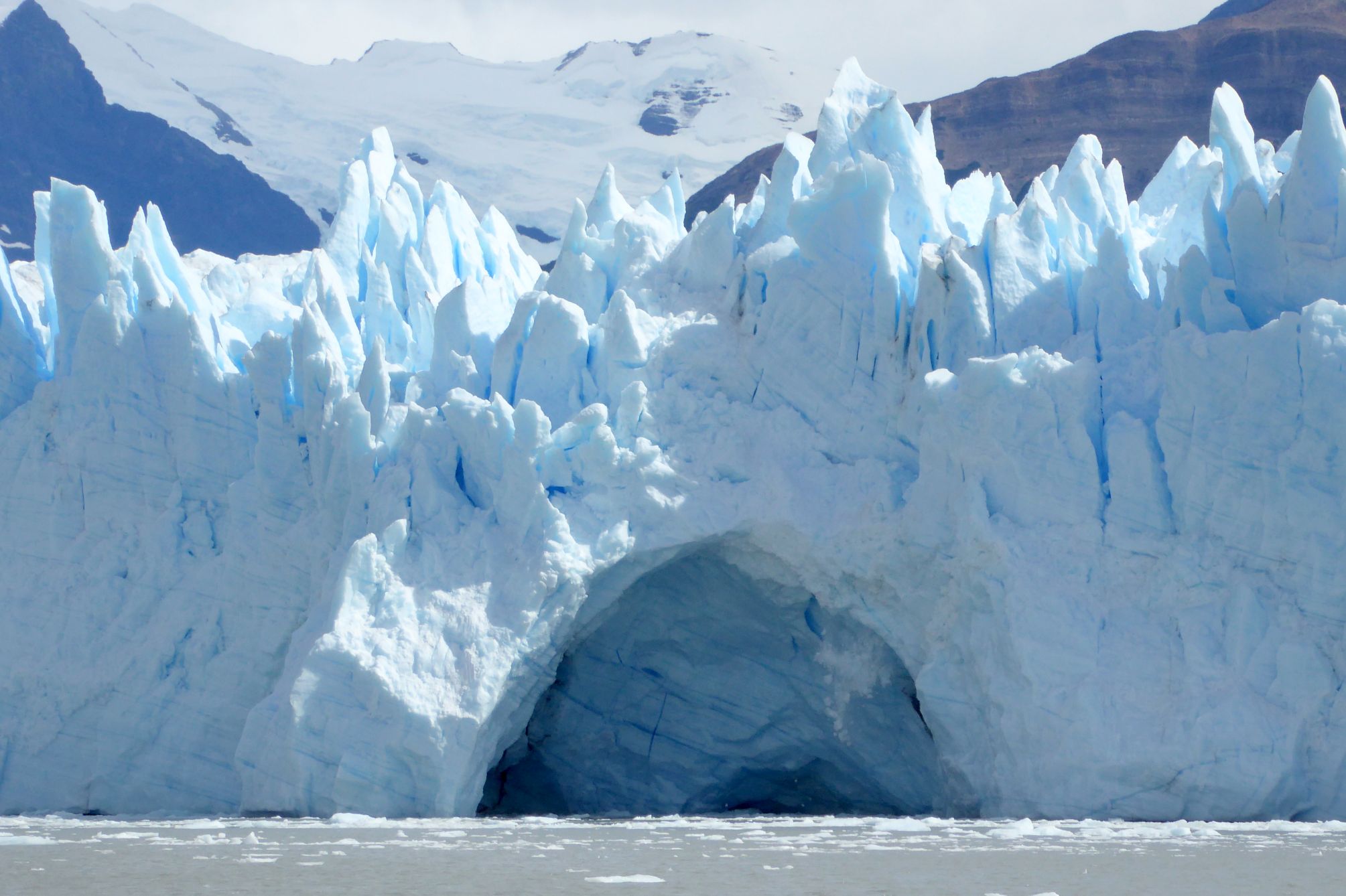
…and then we saw this!


A HUGE GRACIAS TOTALES TO ANDREA SALAS for capturing it all on video, which I uploaded to YouTube. Watch this short video; it’s awesome!

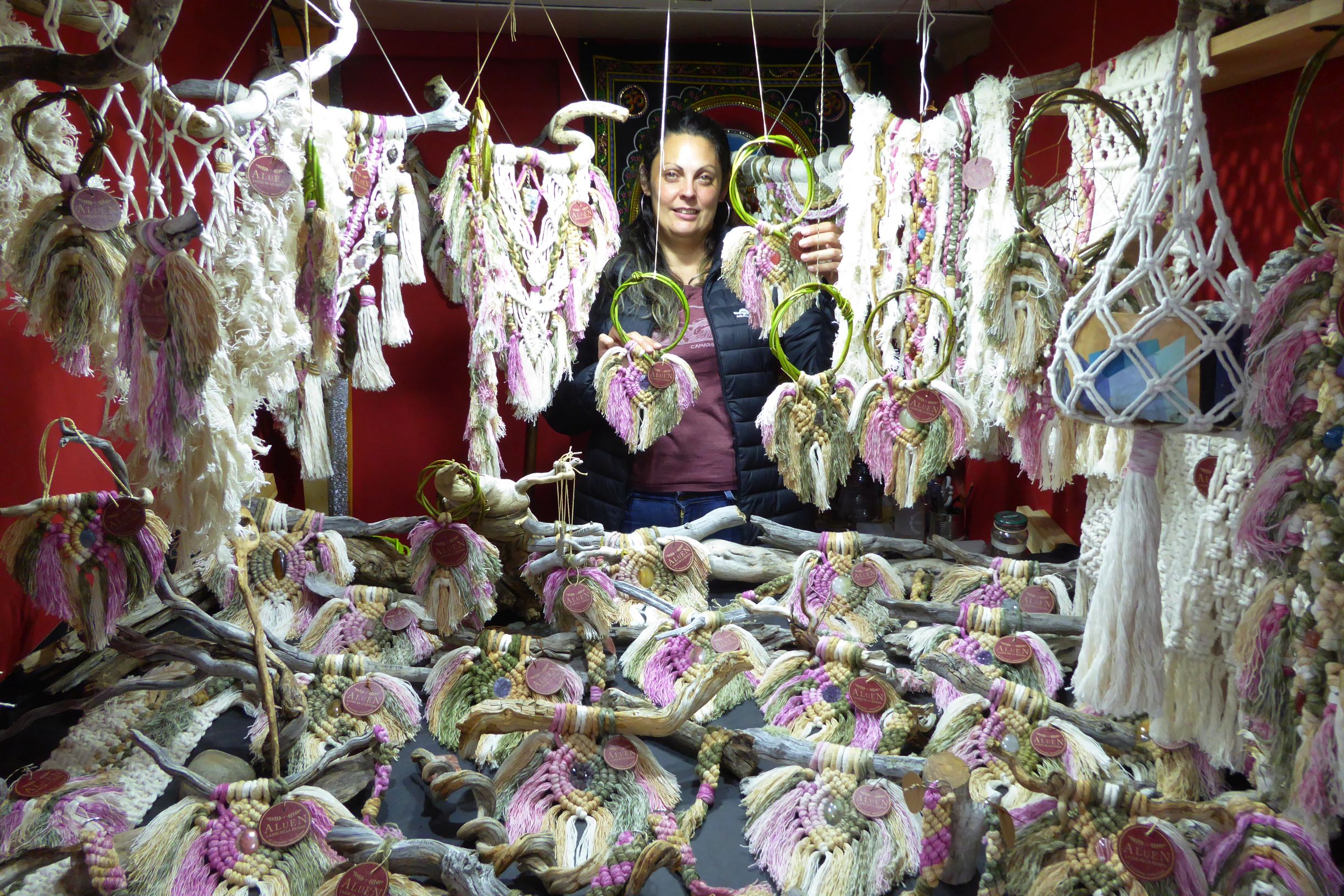
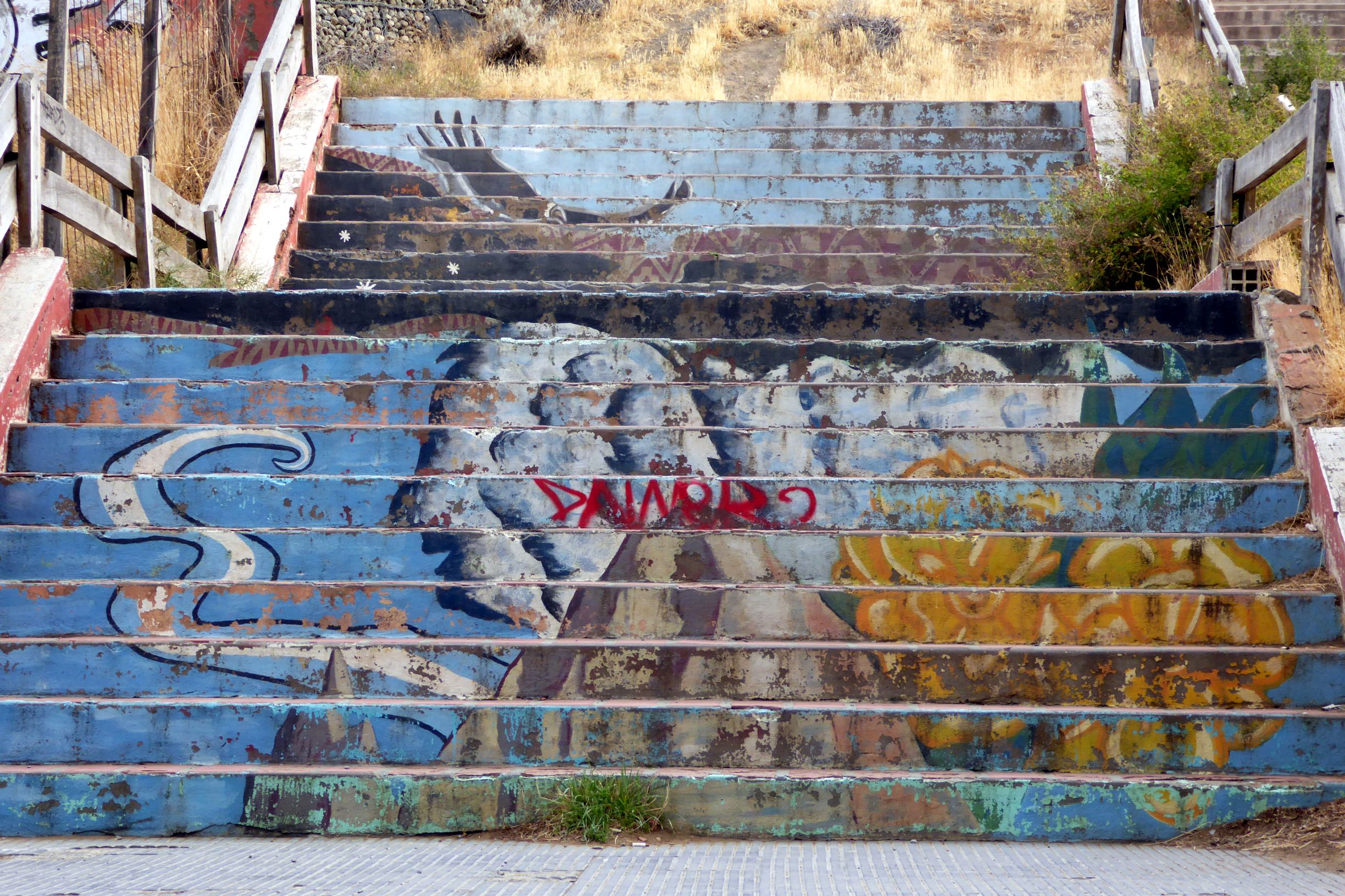
We returned to El Calafate and had the remainder of the afternoon and evening to enjoy the town on our own. Here are some random scenes I captured along the way:




Coming up next: ARGENTINA & CHILE #17: BACK IN BUENOS AIRES
The day began with a drive out to a town with a very long name: Hellisheidarvirkjun. Don’t ask me how to pronounce it; I’m lucky if I can spell it correctly! Here, we visited a geothermal power plant and saw an exhibition with a much simpler name: ON. (Actually, that’s an acronym for “Orka Natturunar.”).
We learned from our guide that only 15% of power plants in Iceland are owned by private companies; the government owns the rest. The country runs 100% on renewable energy (geothermal and hydropower), making it one of the greenest countries in the world.
It was interesting to learn how geothermal steam is used to produce electricity. Iceland is fortunate to have such an amazing natural resource! But, it was the oil crisis of the 1970’s that motivated them to take advantage of this resource and build geothermal power plants to harness this energy.
To give you an idea of how economical geothermal energy is for the consumer, it costs 0.10 -0.12 (U.S.) per unit. For comparison, fixed rate plans where I live are running about .65 per unit and up.
Homes in Reykjavik do not need water heaters; the water comes hot directly from the plant via insulated pipes that carry the water 15 miles from the plant to their homes.
I was surprised to hear that just 17% of the energy produced in Iceland is taken up for residential use. Industry uses the rest – especially aluminum smelters. They import boxite from Australia to smelt aluminum, and then export the aluminum to Germany. Hmmm…
After hearing a presentation about how geothermal energy is produced, we had free time to see the exhibits.
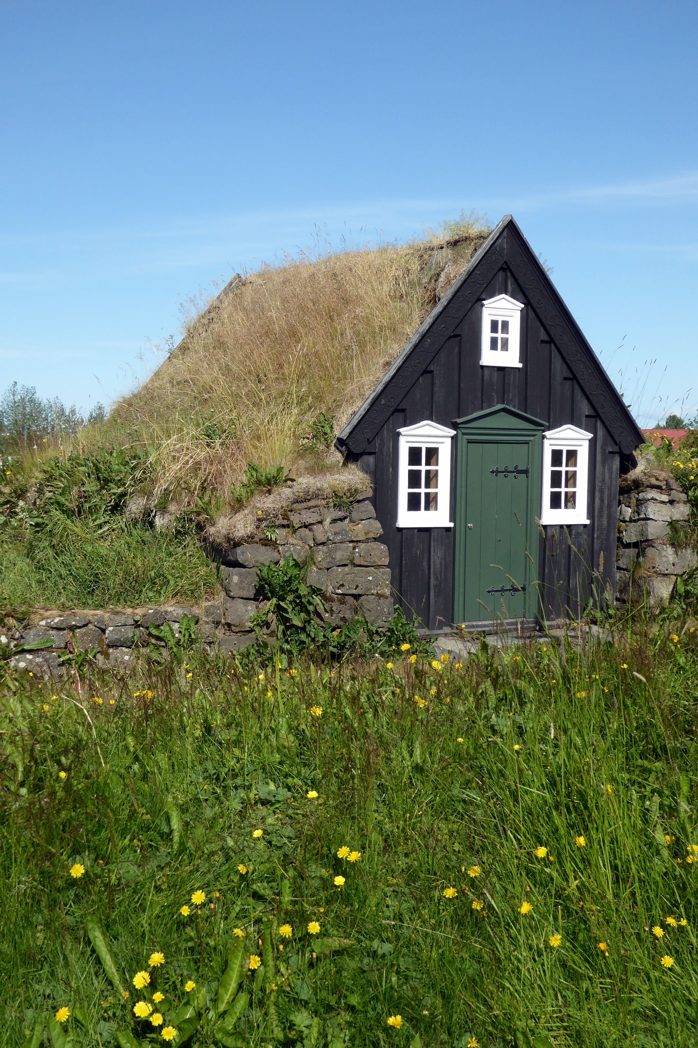
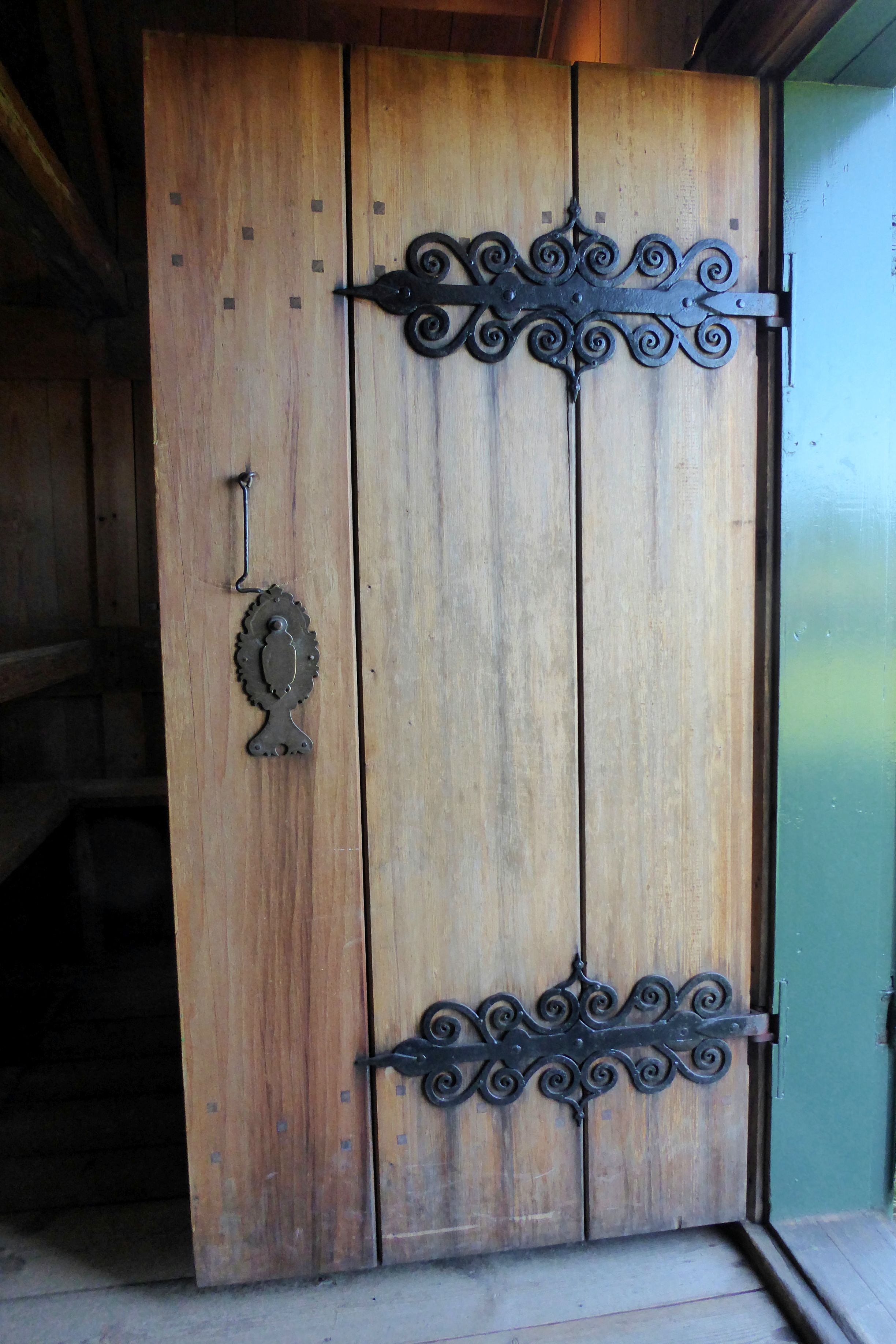
Our next stop was to tour the Arbaer Open-Air Museum. Here, we learned about the living and working conditions of Icelanders in the past. Notice how these turf houses were very short with low roofs. They were built this way to save money, because wood was very expensive. How unfortunate for those who were tall!
(For all pictures, click on the image to see full screen view.)





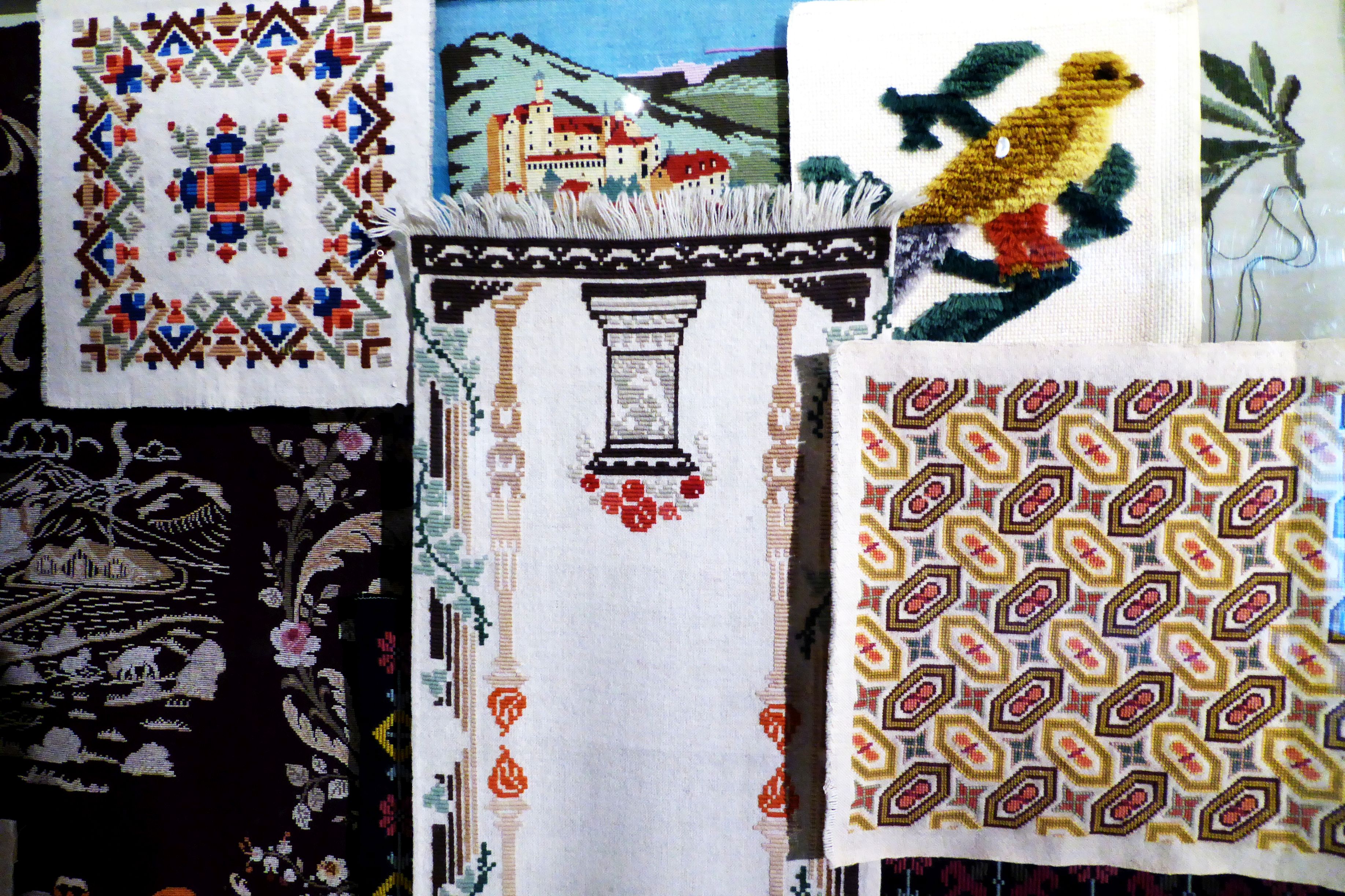
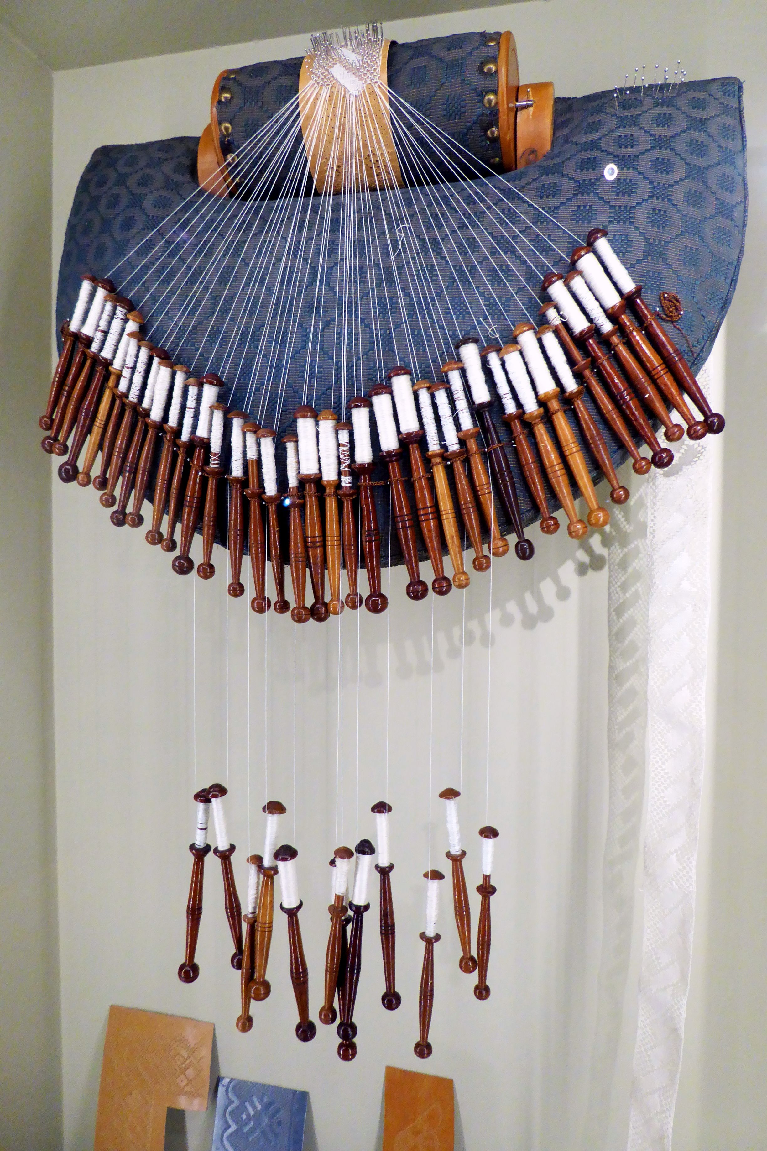

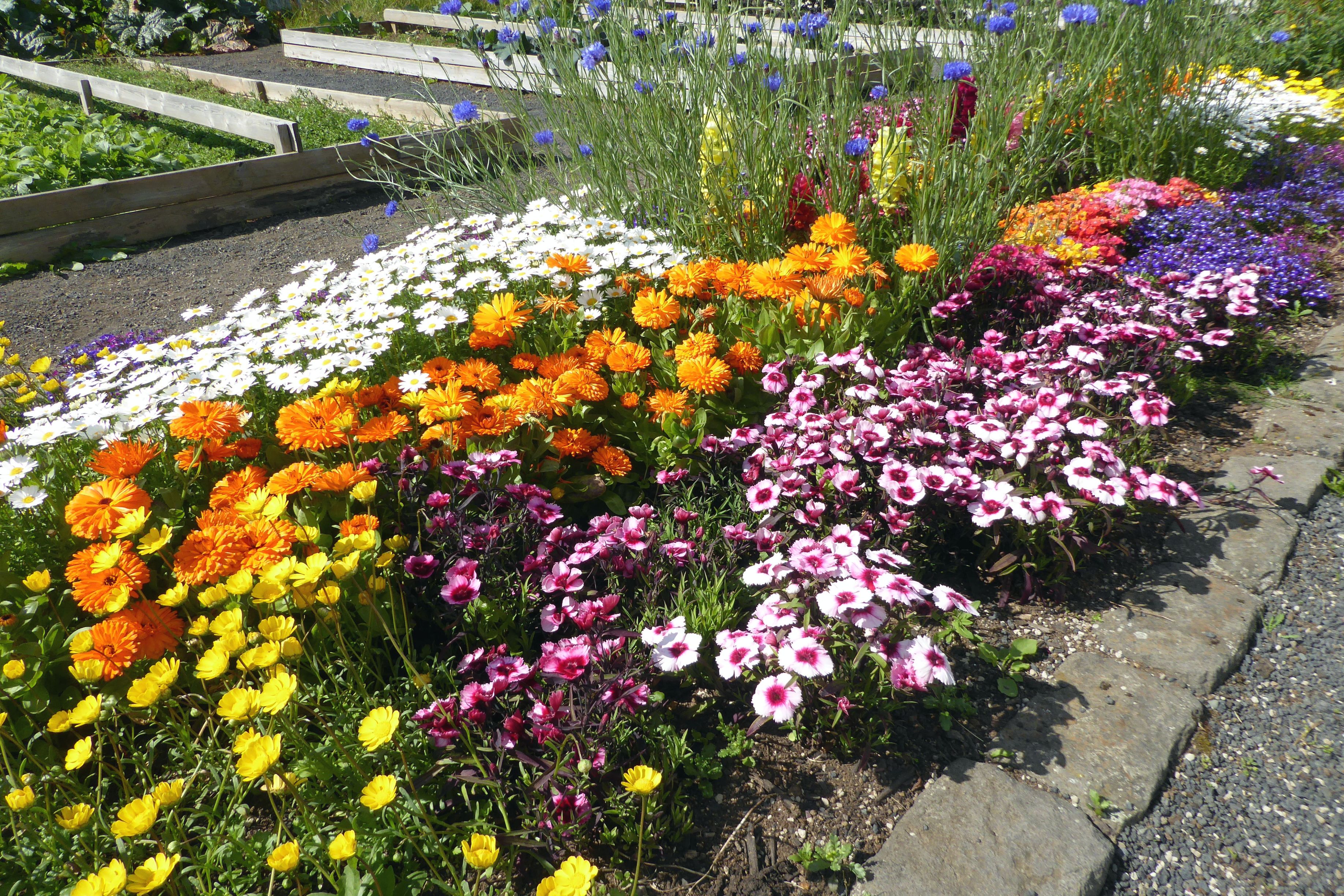
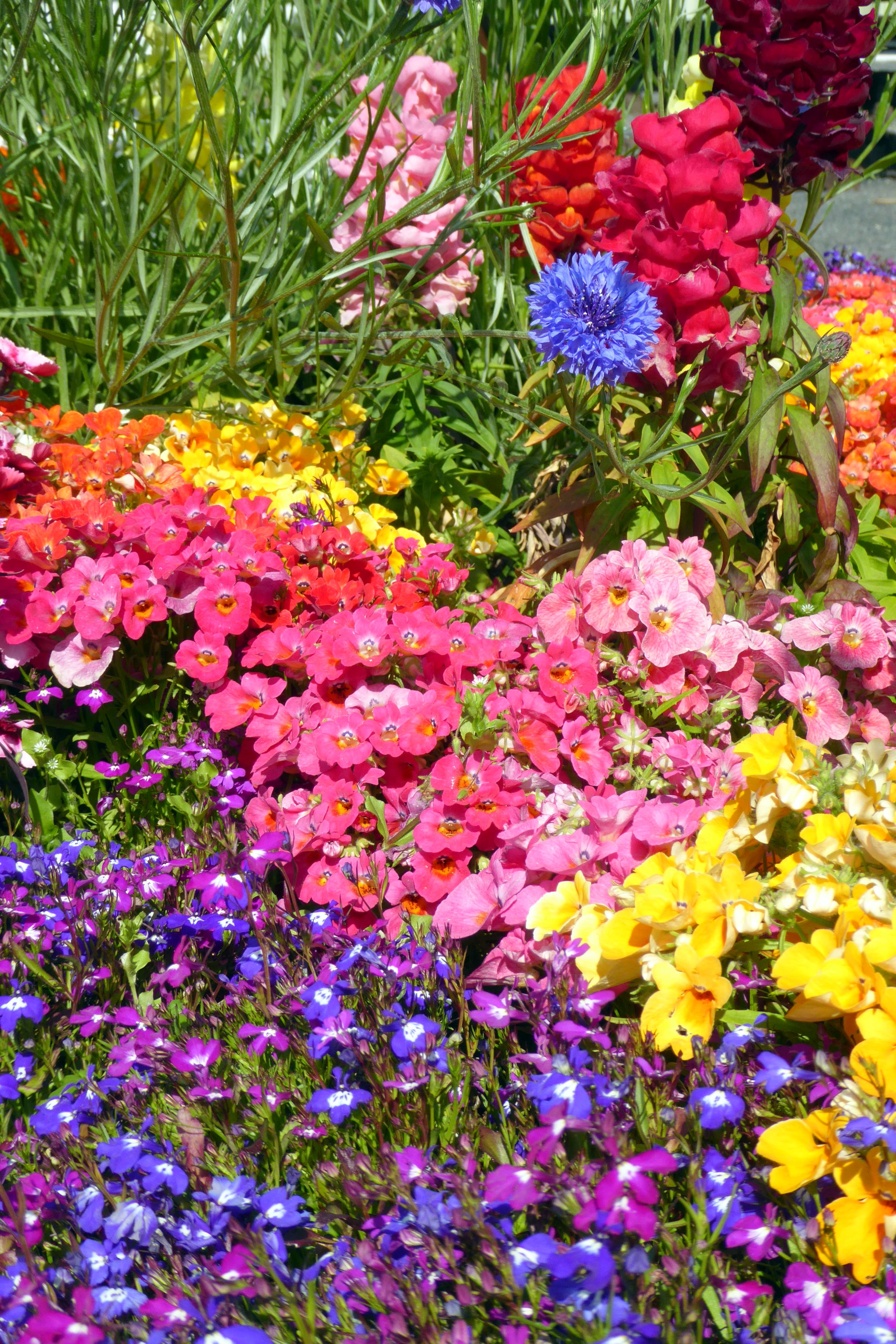


Next up: Basking in the Beautiful Blue Lagoon
Note: If small group travel is of interest to you, I highly recommend Overseas Adventure Travel (OAT). Although Bruce and I travel together, they do not charge a single supplement for those who travel on their own. Singles also get their own room at hotels. If you book, you can get $100 off your trip by providing my name and customer number (Elaine Krugman, #3018126) as the person who referred you. I will also get $100 off future travel– a win-win!
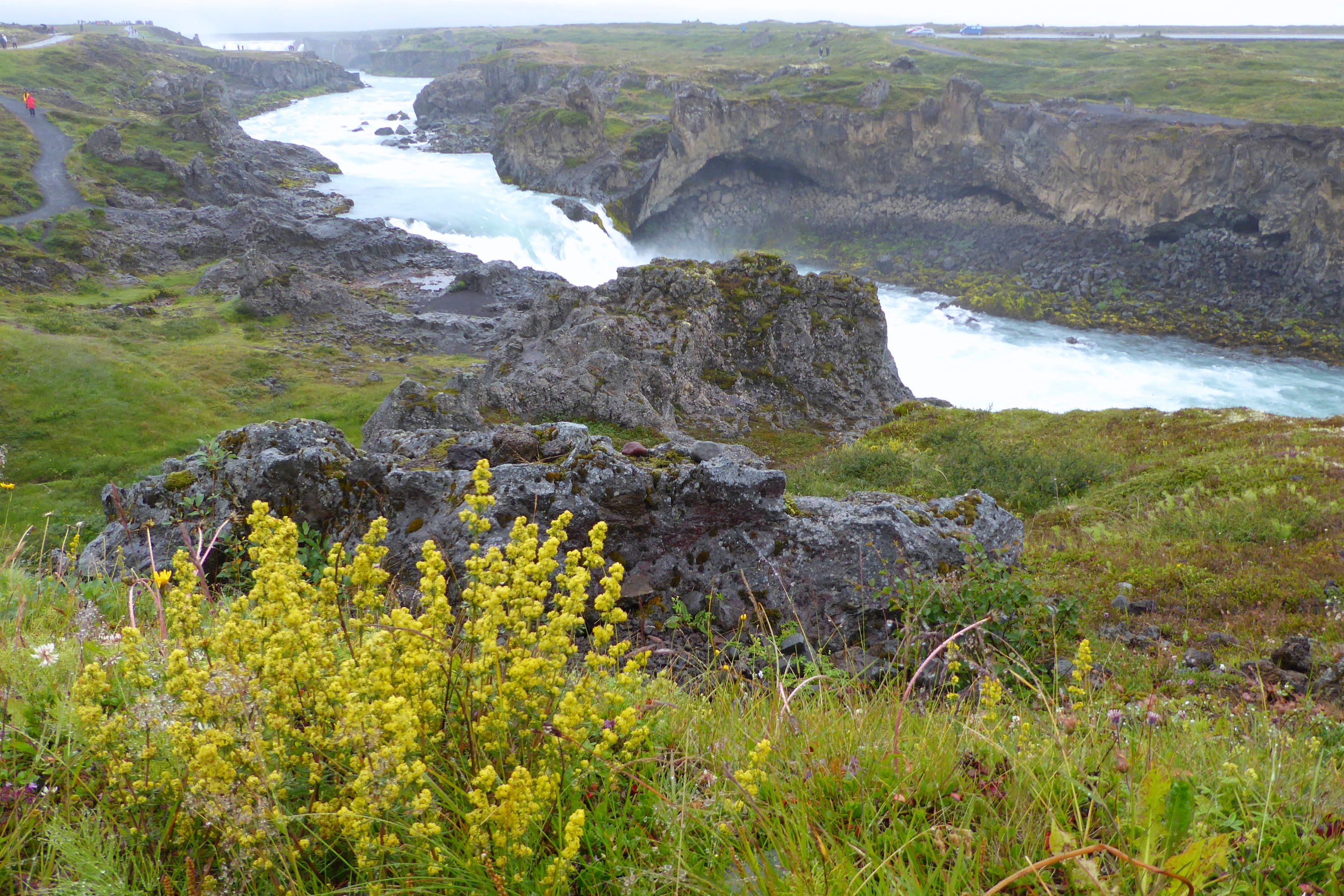
If I could have swapped one of our sunny days in Selfoss for this day instead, it would have been perfect. Godafoss Waterfall would have been beautiful on a sunny day, but it was raining; not the best conditions for photography. Still, what an amazing sight! We hiked the path up one side, and then doubled back, crossed the bridge, and hiked up the other side. The volume of rushing water was so powerful that the sound was mesmerizing. I shot a short video, just so I could hear the sound of that water again when I returned home.
(For all pictures, click on the image to see full screen view.)



At one point during the days’ travels, we passed through a five-mile-long tunnel through a geothermal area. The temperature was 51degrees outside of the tunnel, but 66 degrees inside the tunnel!
Our next stop was interesting. We observed the process of harnessing geothermal energy to bake Hverabraud (Icelandic rye bread) in the ground. The best part (of course!) was getting to taste it. Quite dense, the bread was piping hot, sweet and tasted great with butter.
Historically, the bread was baked in a wooden vessel, but now, buckets with lids are used. Sites for baking bread can be found around hot springs close to villages in the Icelandic countryside. Each family has their own hole in the ground in which they bake their bread.


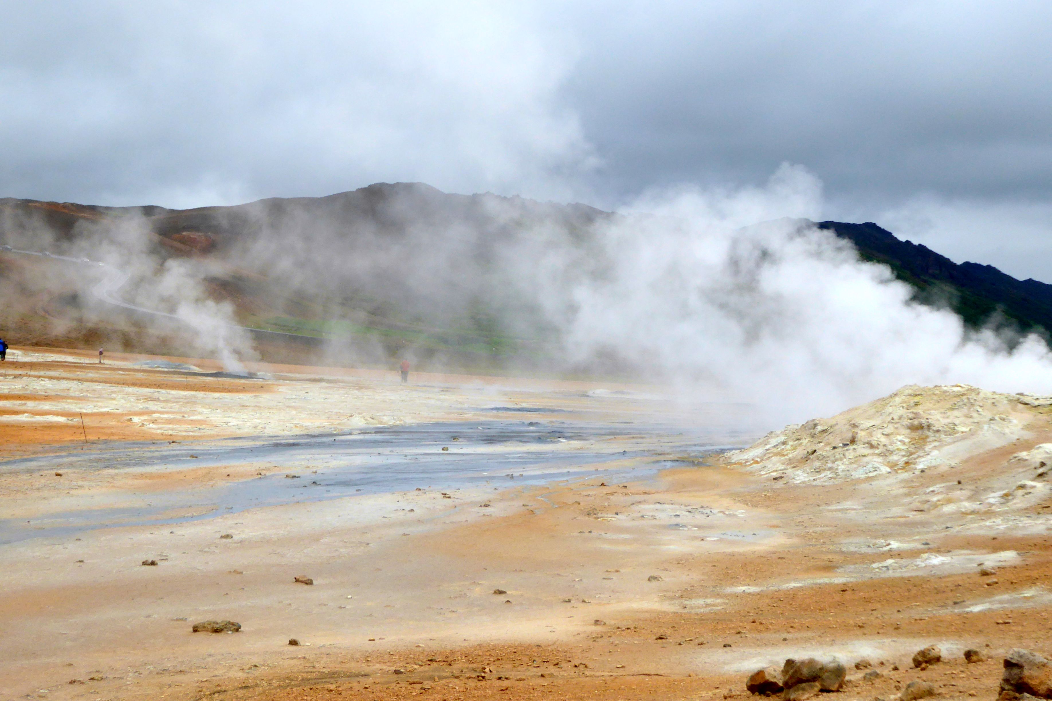
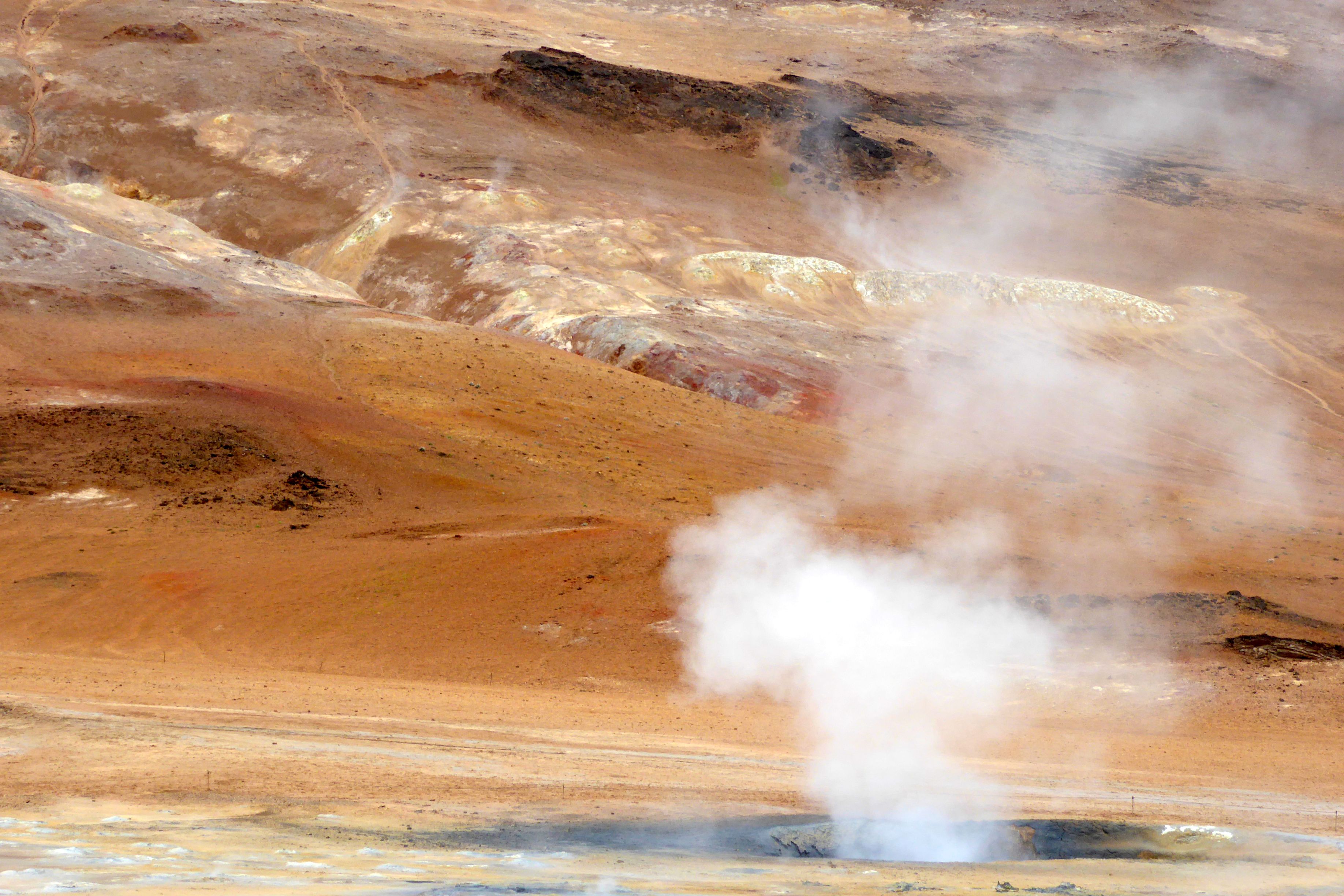
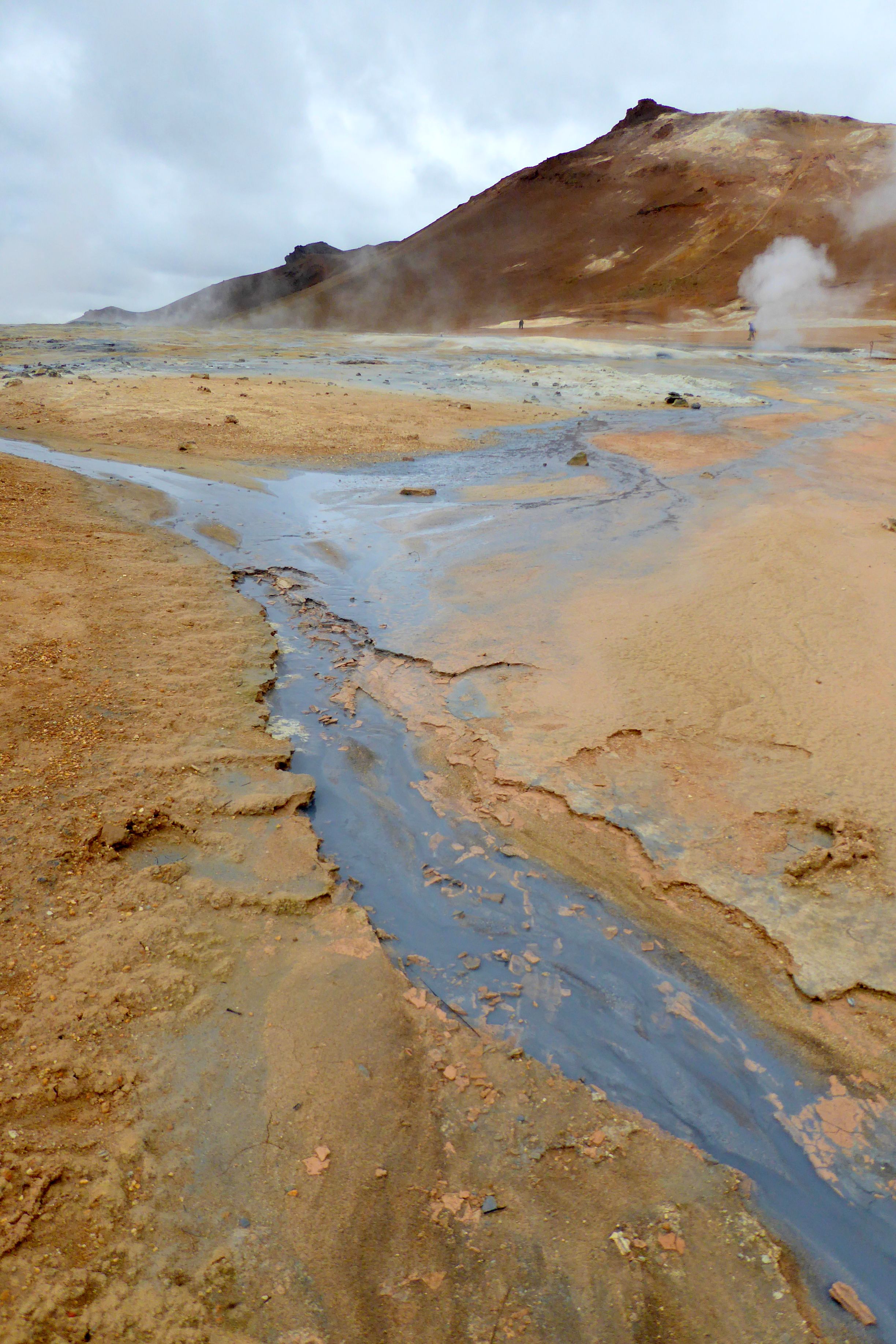
Namafjall, the next place we visited, fascinated me. Watching the bubbling hot mud pools in this geothermal area and seeing the variations in the earth made it feel like we were on another planet. Three thousand feet below the surface, the temperature is about 400 degrees! Due to the hydrogen sulfide in the steam, it smelled like eggs – not the most pleasant odor; but, it was worth enduring to see this fascinating area.


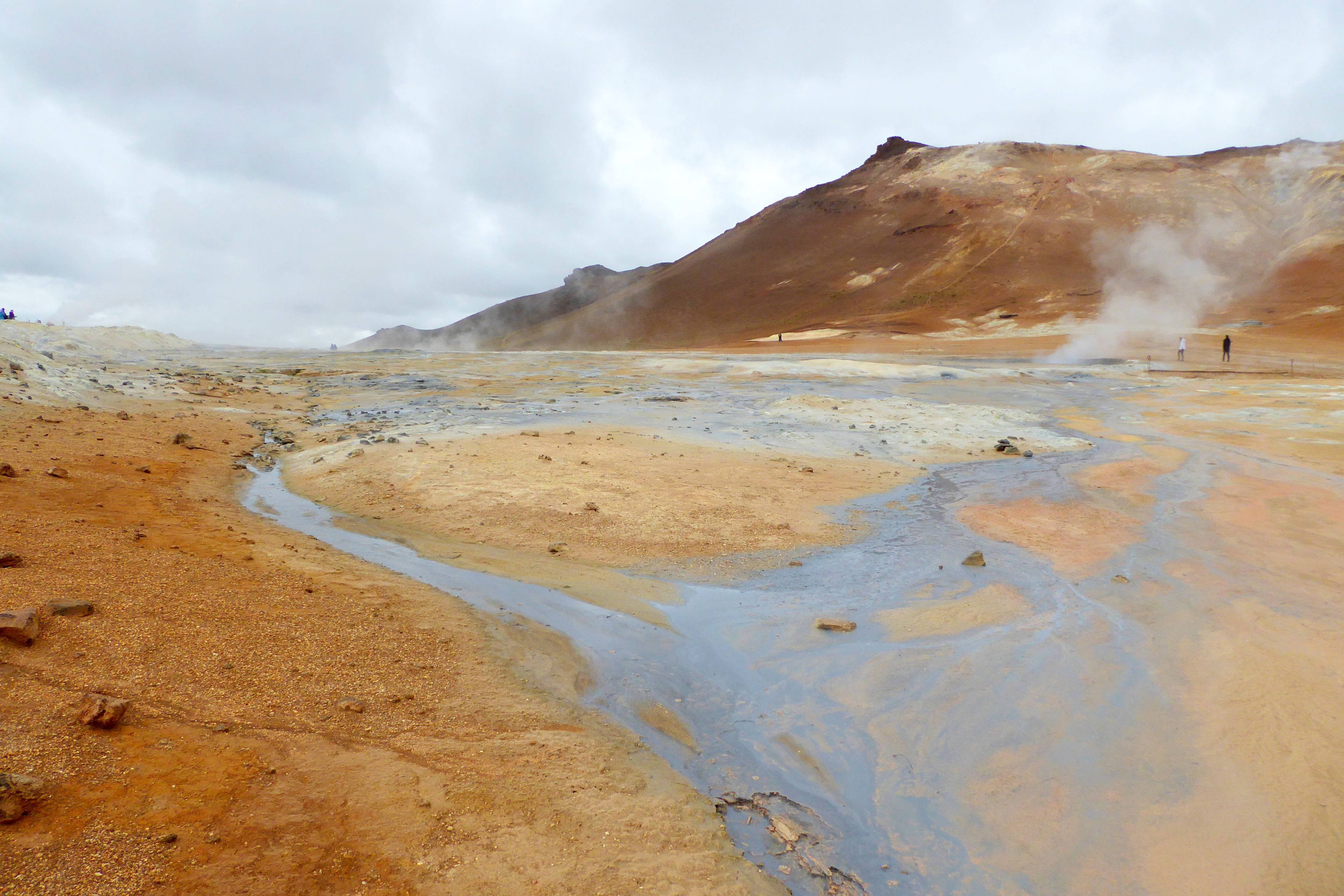
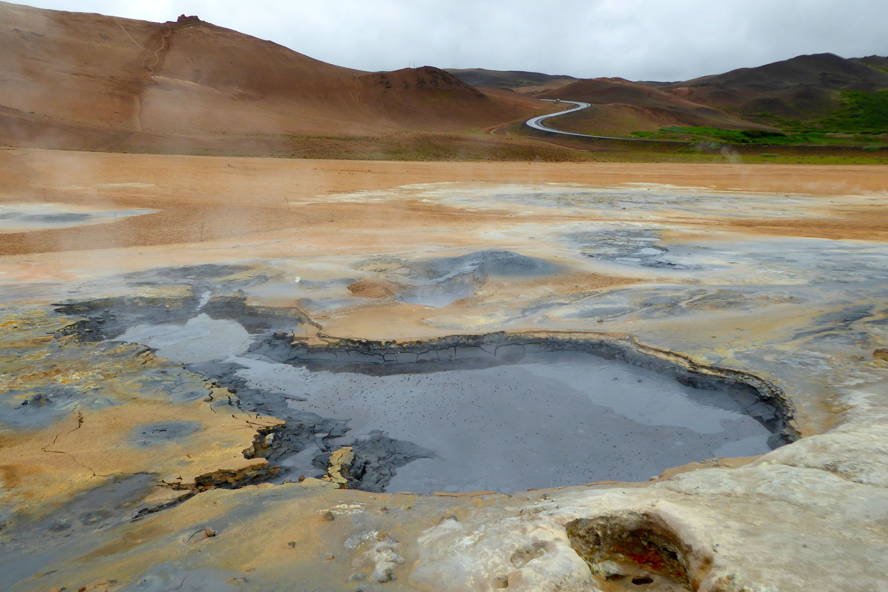

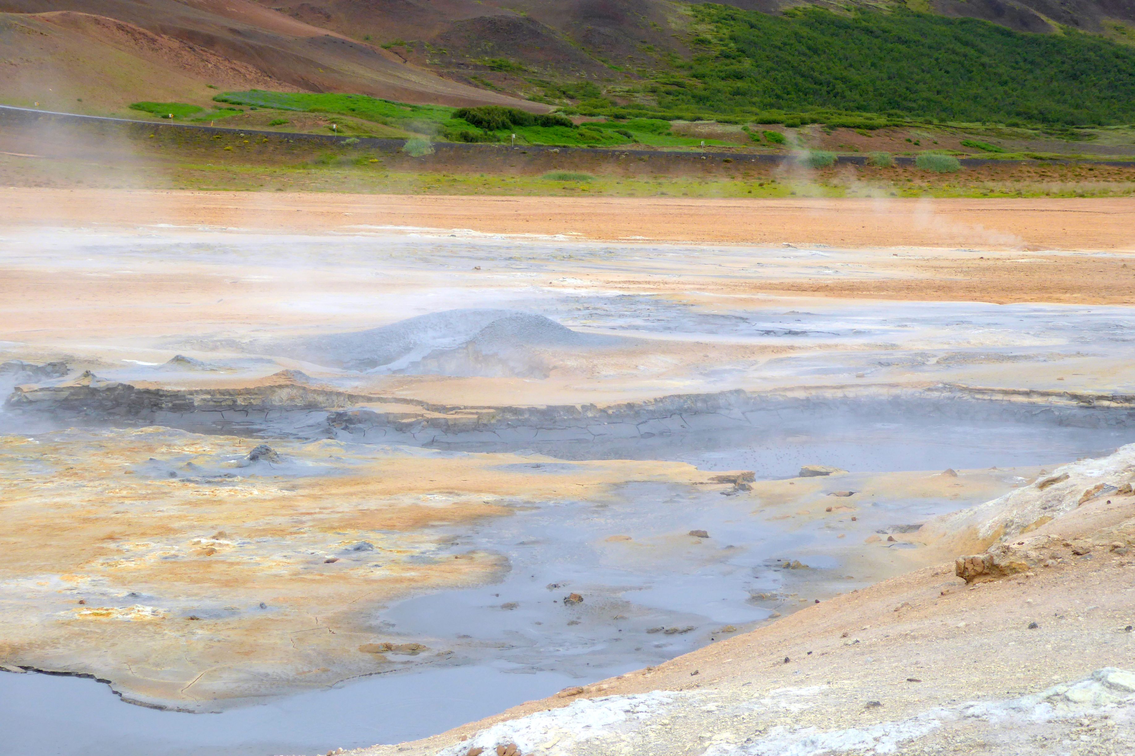
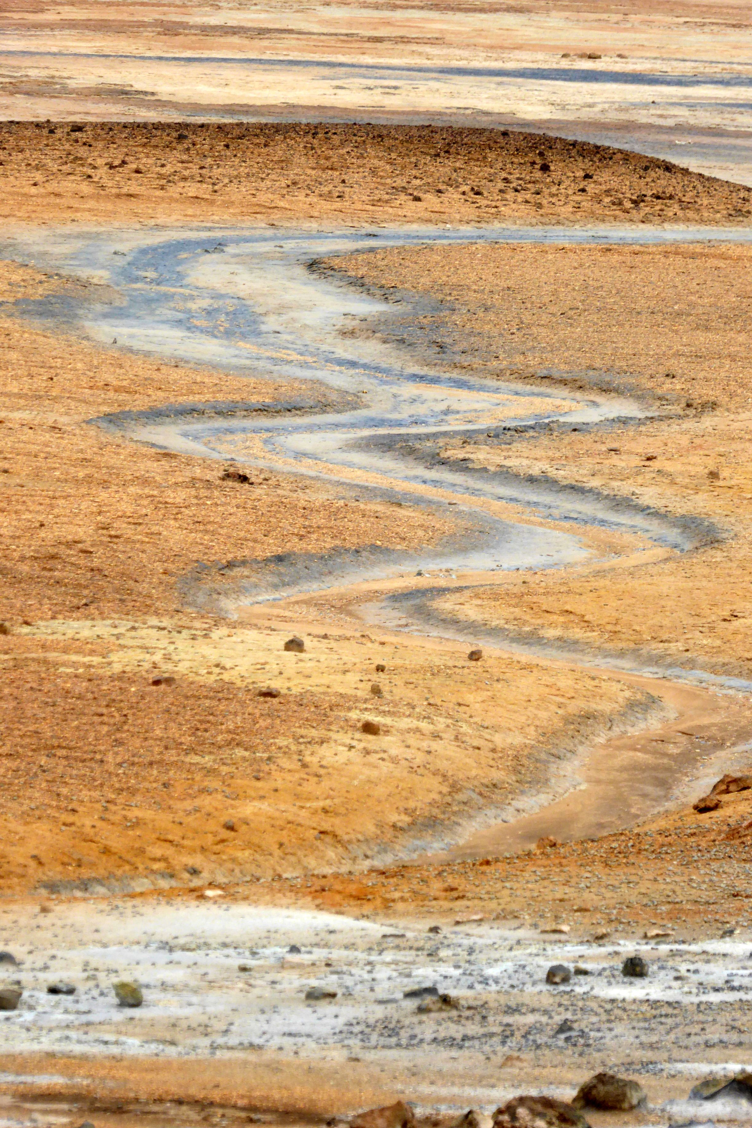
We continued on to Dimmuborgir, and I experienced the same feeling I had at the mud pools and several other places we had visited in Iceland: I was on another planet! But, isn’t that what travel is all about? I love experiencing the unfamiliar!


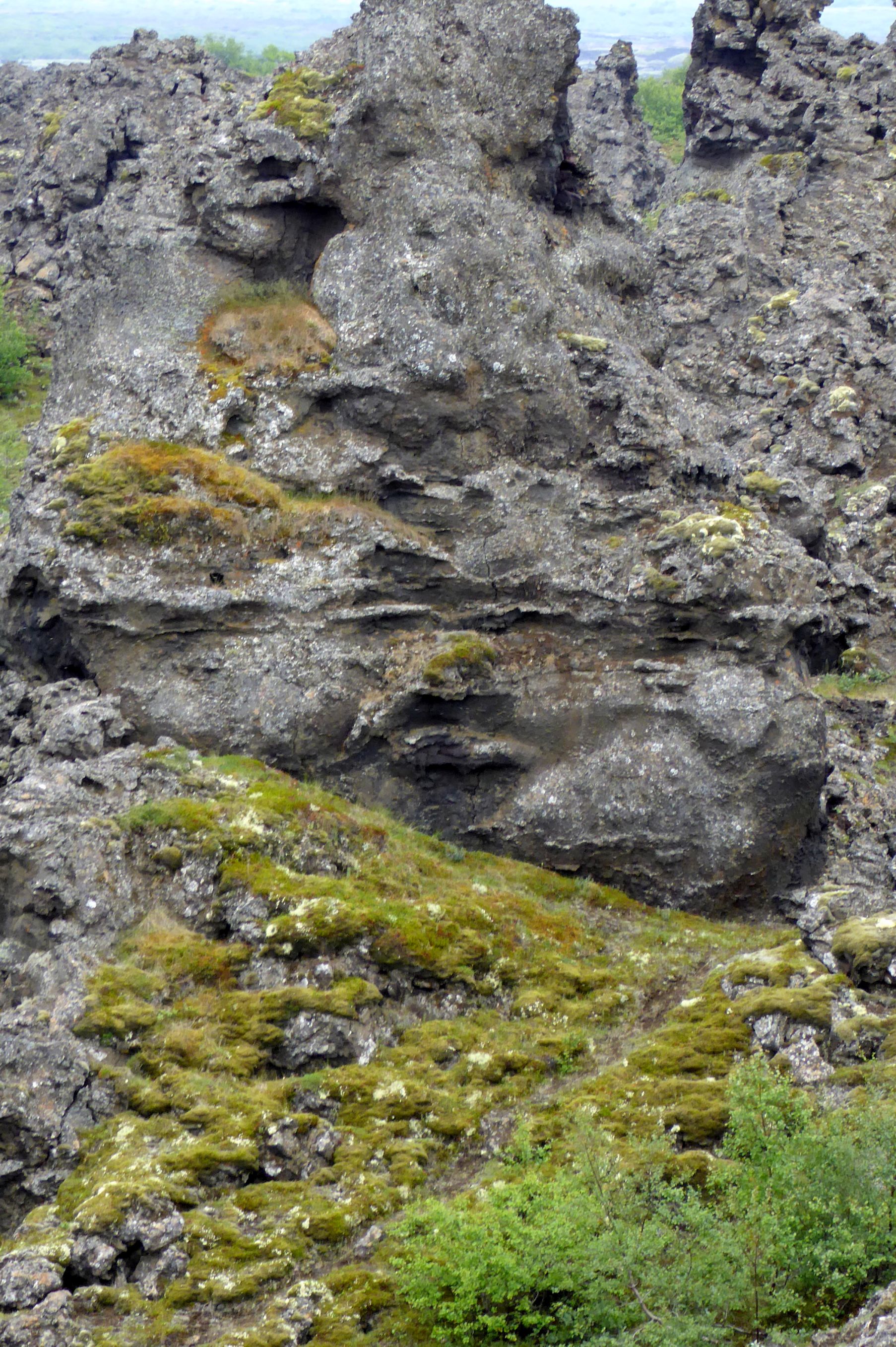
Dimmuborgir is full of whimsical “black castle” lava formations created when the crater row erupted around 2,300 years ago. Our group had fun spotting faces in the lava. Can you see the curvy lips and full cheeks in this one? (Hint: They appear just above the grassy area.)
Our final other-worldly visit was to Skutustadir. Click on the link to see an awesome aerial shot taken on a sunny day. These pseudo craters are in the Lake Myvatn area near the Krafla volcano system. During eruptions, lava ran across the area, which at the time was swampy wetlands. The heat caused steam eruptions, which resulted in their crater-like shape.
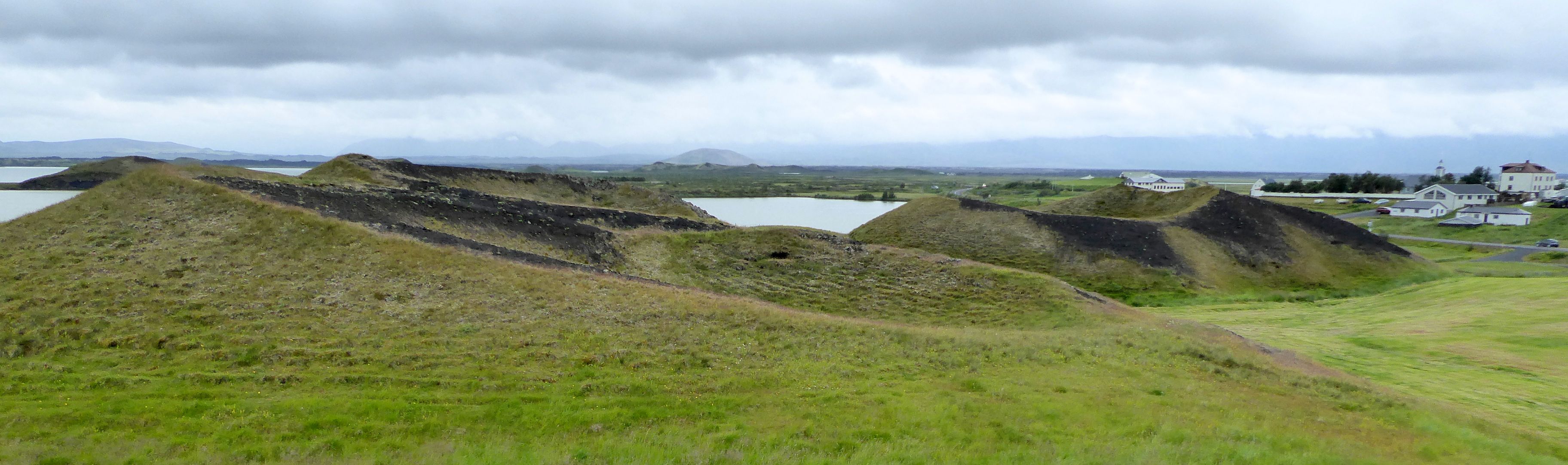

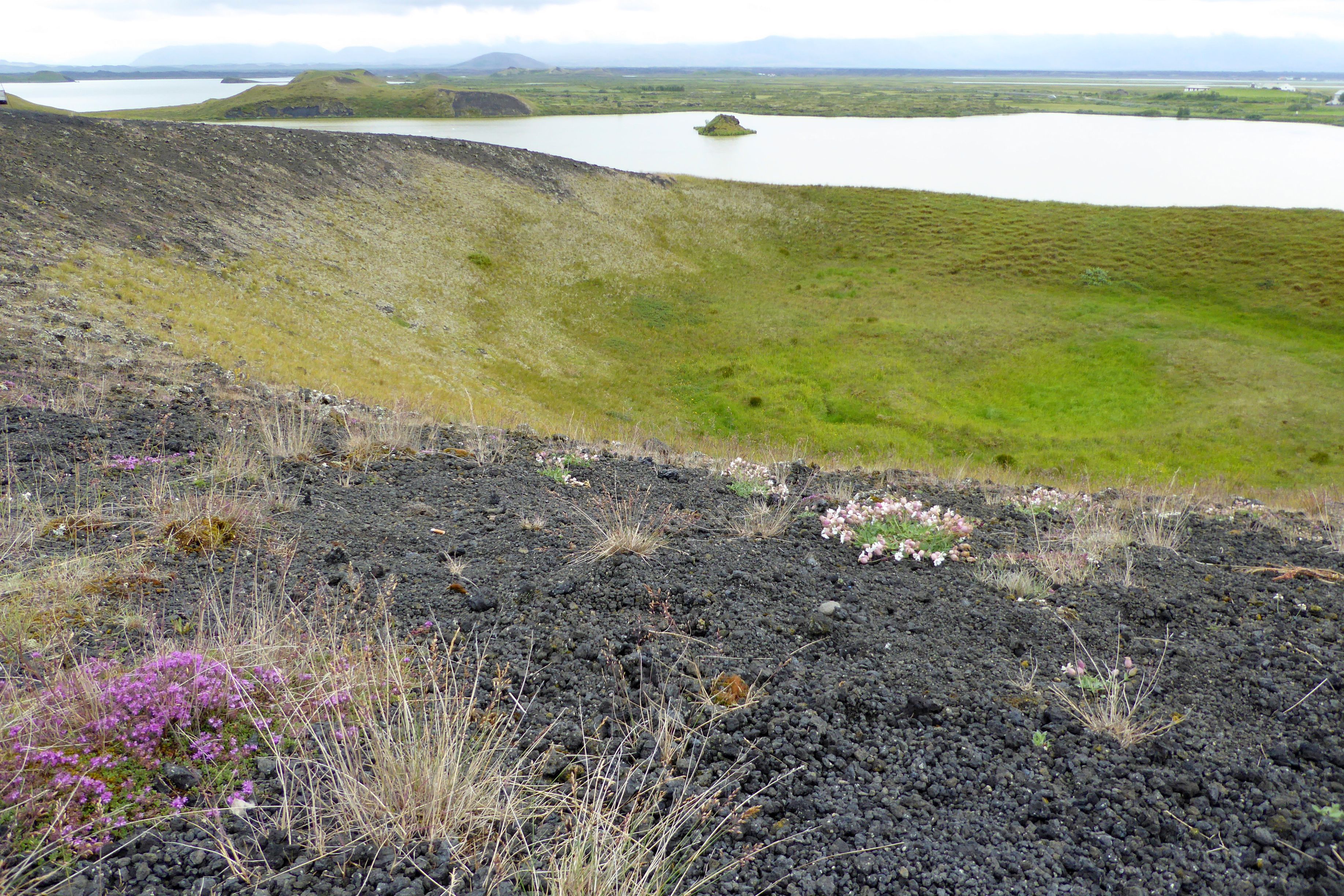
Bruce and I enjoyed hiking around the area and taking in the views from the tops of the craters.
In the evening, our group was split in half for home-hosted dinners at two homes. Our group was hosted by Esther, Gunnar, and their two adorable daughters, Berglind (9) and Elizabeth (4). They were such a sweet family, and they lived in a lovely apartment.

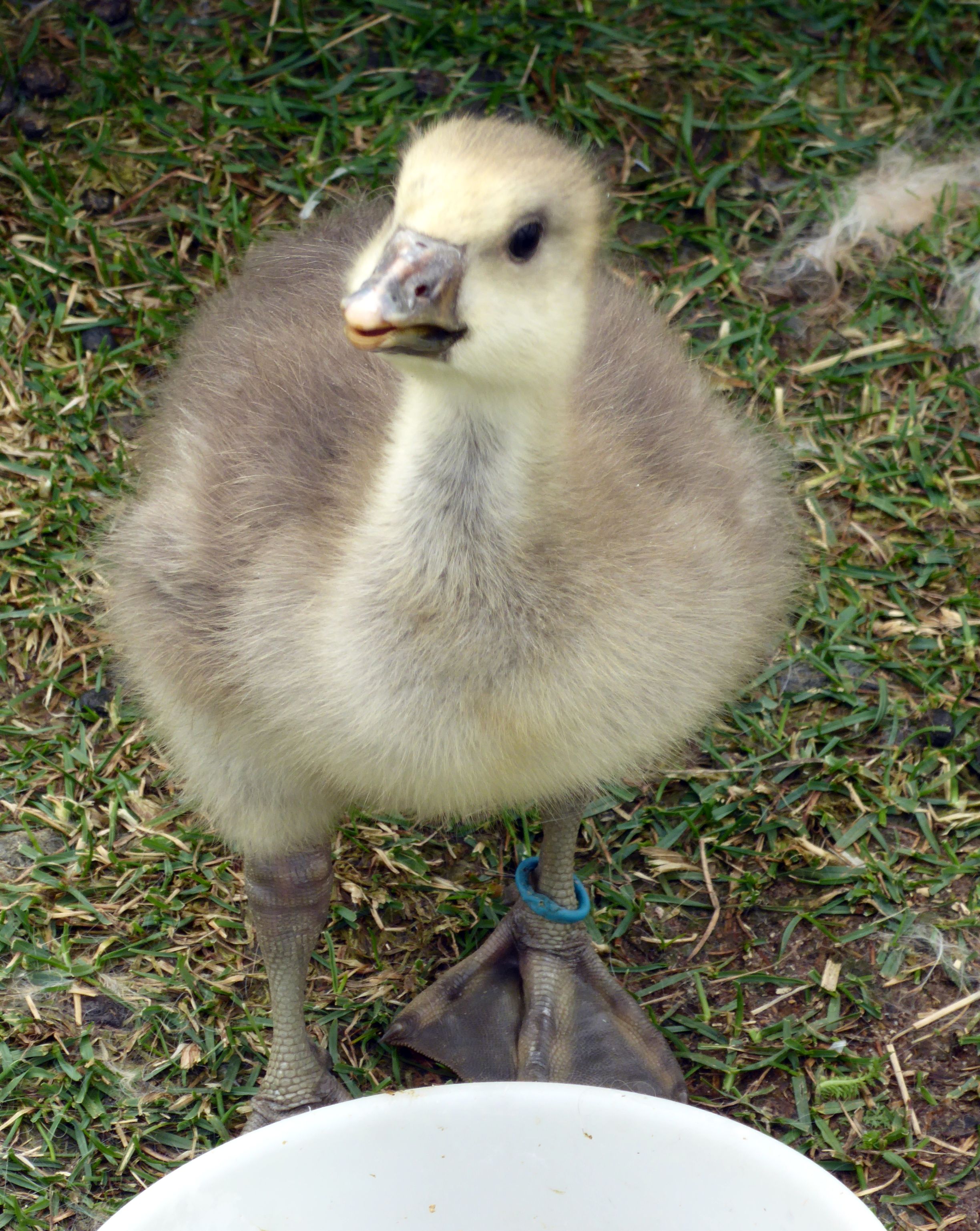
Throughout the evening, their TV was tuned into the video cam of the erupting volcano – such an amazing sight that had us enthralled in between conversation and petting their cute dogs.
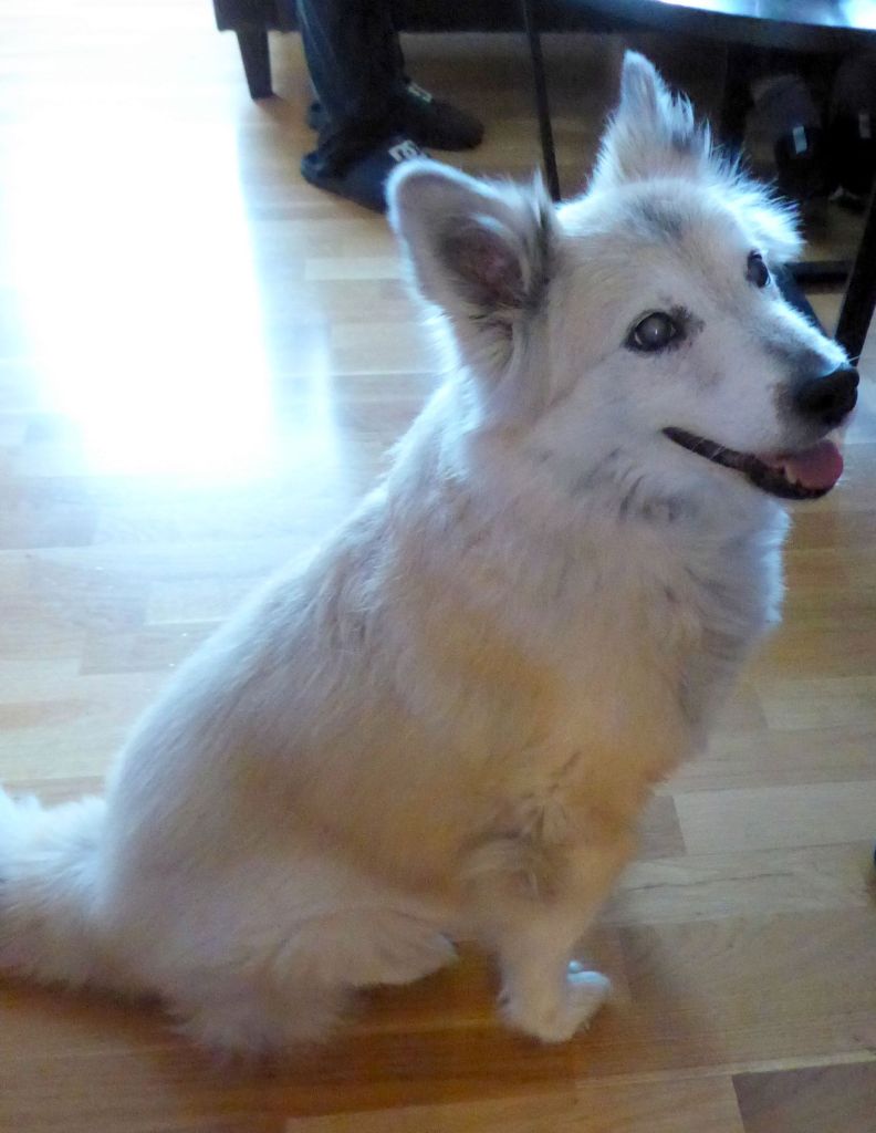
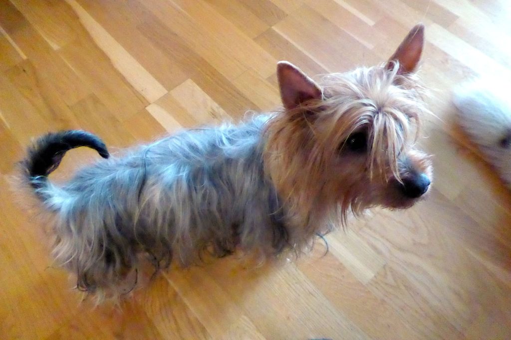
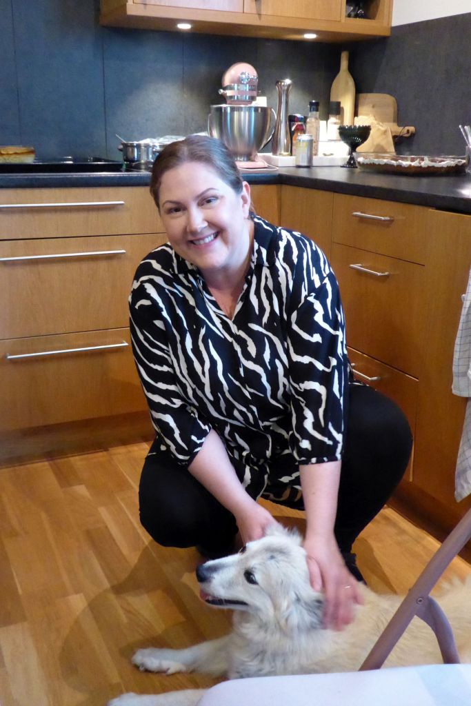
Esther is studying computer science to become a programmer, and Gunnar is a commercial fisherman. He caught a huge cod for our delicious dinner that was prepared by Esther. Berglind kept busy as our server and did a great job! Bruce gave Esther and Berglind each a pair of his fused glass stud earrings as a gift, and I gave Gunnar some of my photo cards to share with Elizabeth.
It was such a fun evening, and a highlight of the trip (as always!). Looking back, my favorite travel memories have been of the home-hosted visits I have done with Overseas Adventure Travel, and previously, Vantage Travel, when we traveled with them (before their bankruptcy).
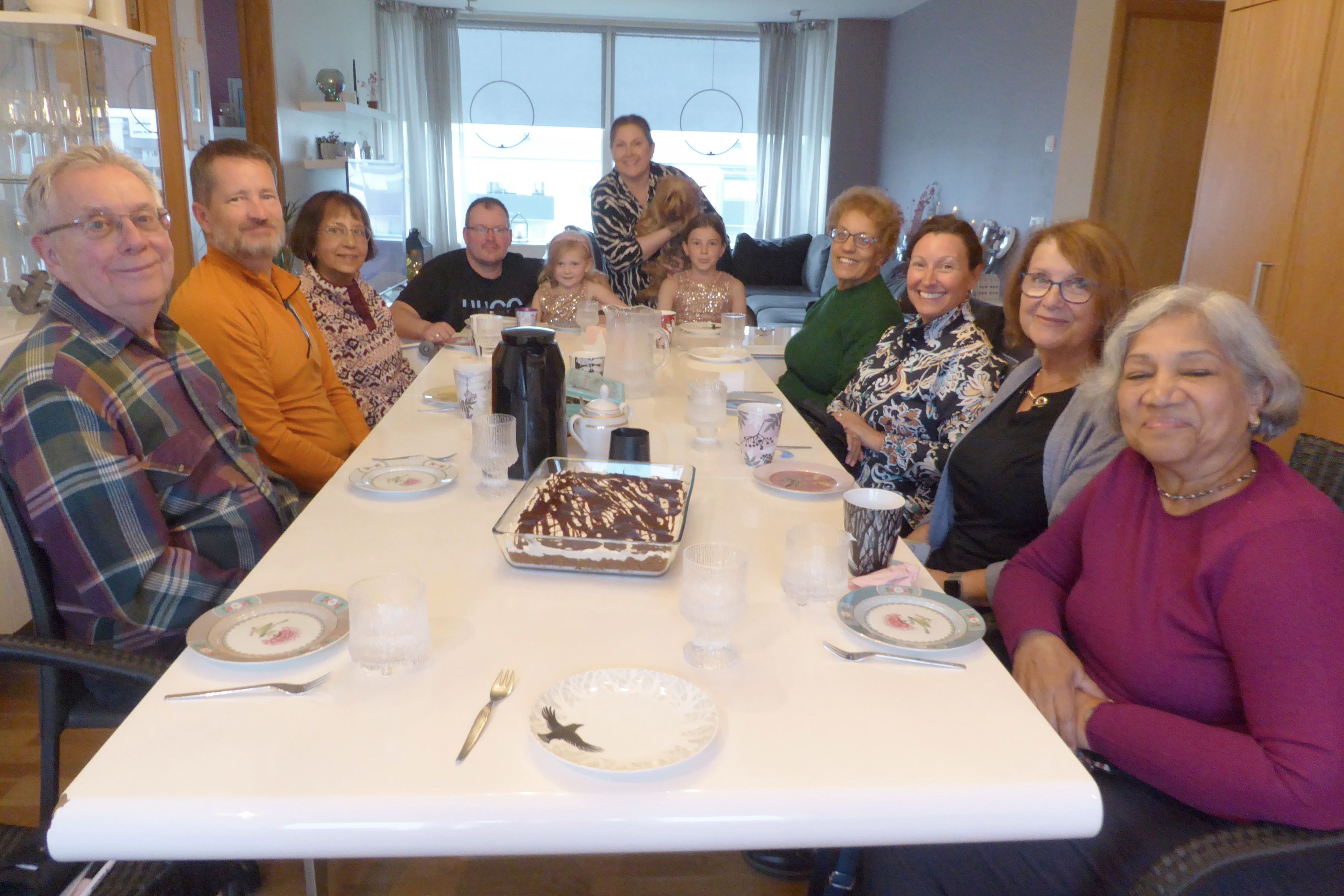
Esther, Gunnar, Berglind, and Elizabeth: Thank you for such a special evening I will always remember!

Next up: Watching Wonderful Whales!
Note: If small group travel is of interest to you, I highly recommend Overseas Adventure Travel (OAT). Although Bruce and I travel together, they do not charge a single supplement for those who travel on their own. Singles also get their own room at hotels. If you book, you can get $100 off your trip by providing my name and customer number (Elaine Krugman, #3018126) as the person who referred you. I will also get $100 off future travel– a win-win!
After two amazing days seeing so many beautiful places, I will have to admit I wasn’t excited about our first stop of the day on our way to the Snaefellsness Peninsula. On Overseas Adventure Travels tours, “Controversial Topics” are a feature, and they are often very interesting and memorable. This one about blood mares, however, left me feeling sad.
We visited a co-op hardware and farm supply store to listen to the store’s manager, a veterinarian, speak about this husbandry practice that she is very much against. She was excellent; the topic was not. It involves impregnating horses for the sole purpose of harvesting their blood (a weekly draining of up to five liters in the span of just a few minutes), which contains a rare hormone coveted by veterinarians (the bad type, in my opinion), who use it to improve the fertility of other livestock. Iceland is one of the only countries in the world—and the only country in Europe—where this practice is legal.
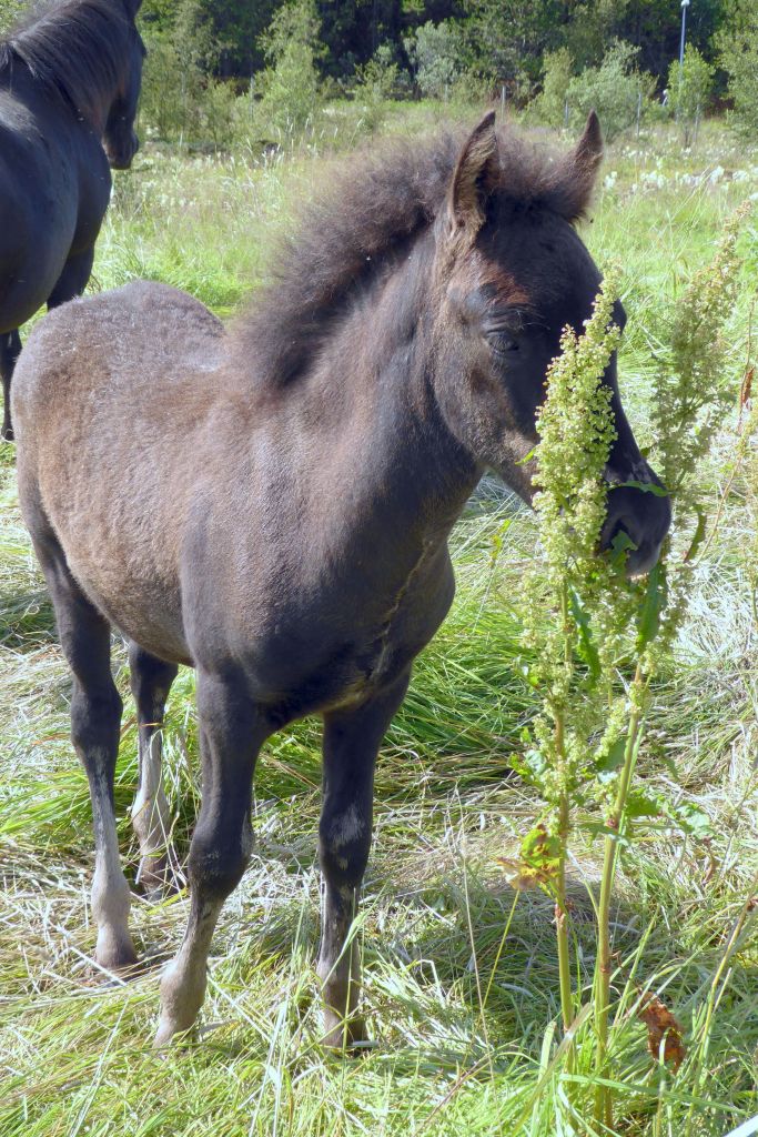
Animal rights activists, for good reason, find the procedure cruel. I agree. The worst part is the foals that are birthed are sent to the slaughterhouse, because the farmers have no other use for them.
I needed some comic relief after that talk, so I visited the toy section of the co-op that carried just about everything one would want. These guys (see below) are members of Iceland’s rescue team, the largely volunteer crew that keeps quite busy when a volcano is erupting on Iceland. During the previous eruption two years ago, there were numerous rescues, because many inexperienced and unfit hikers ventured out on long hikes to see the volcano, but didn’t bring water with them (Idiots!) and couldn’t make it back.
This time, while we were in Iceland, another volcano was erupting (we saw it from a distance while on the road), and the authorities were cracking down on the sightseeing tourists, making it as inconvenient as possible for the casual, inexperienced hiker.
(For all pictures, click on the image to see full screen view.)


Missing from my trio of rescue team heroes was the female lifeguard, in a package complete with her lifesaving buoy and paddleboard. She was on a different shelf, and I neglected to take a photo of her. Darn; the photo that got away. I regret skipping that photo op, because I wanted to be a lifeguard when I was kid growing up in Long Beach, California. She brought back good memories of my summer days on the beach.
Leaving the blood mare conversation behind, we were off on our drive to the Snaefellsness Peninsula. On the way, we stopped for a visit to a greenhouse to learn about the challenges of growing plants, flowers, and produce in Iceland. The couple who owns the greenhouse and a café rely on heated groundwater from deep beneath the surface for its daily operations, and much of what they raise is grown hydroponically.

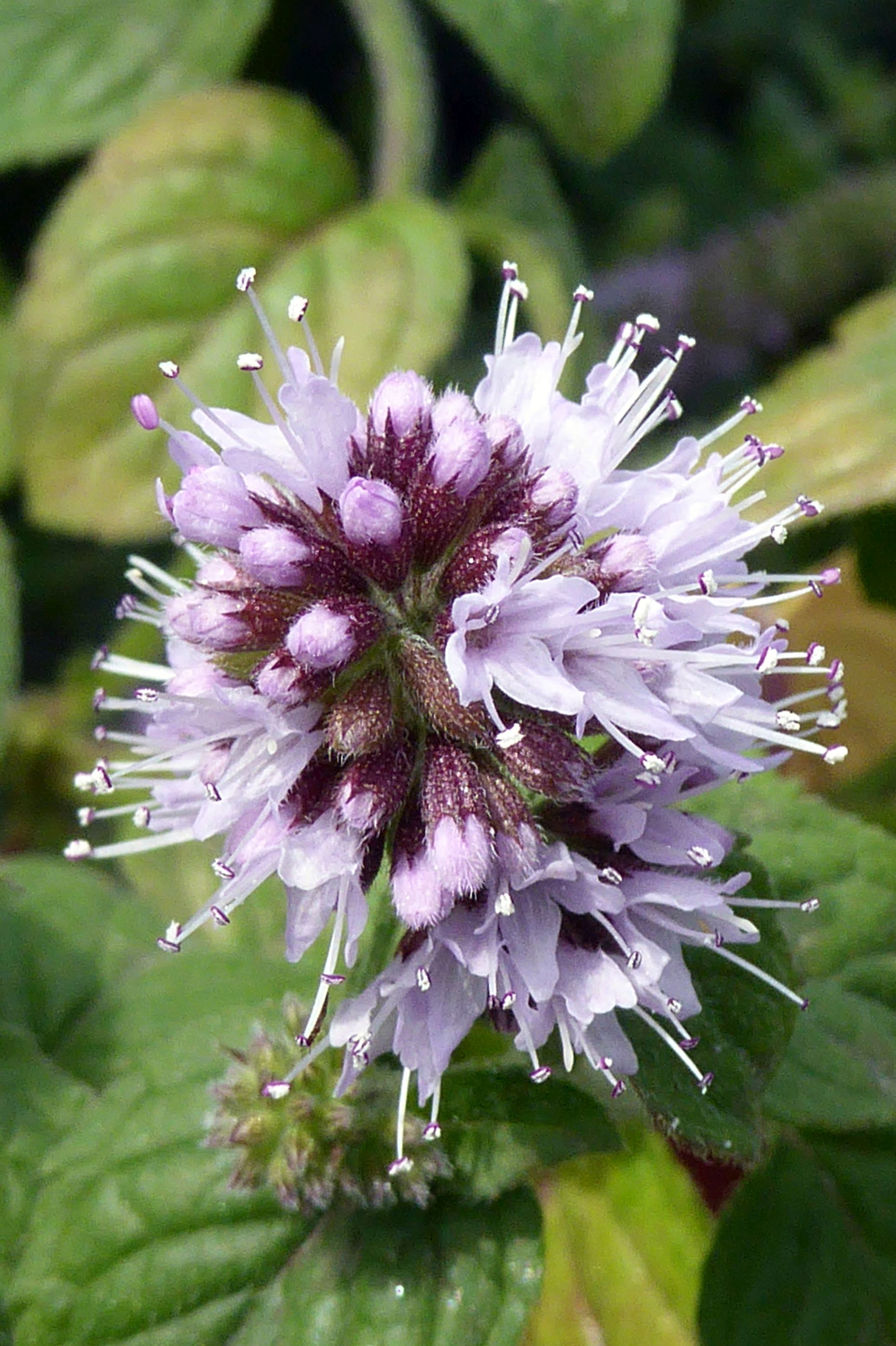

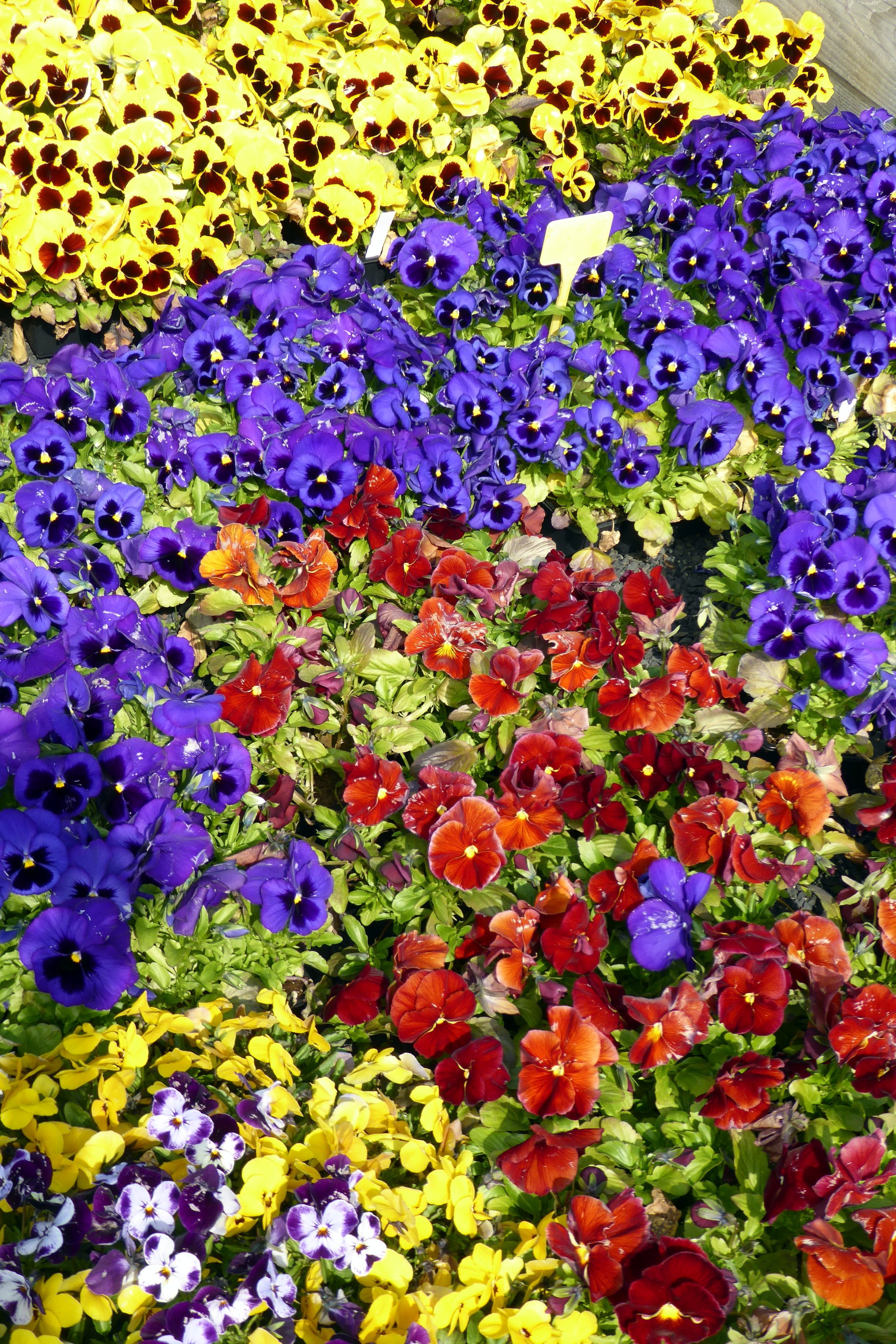

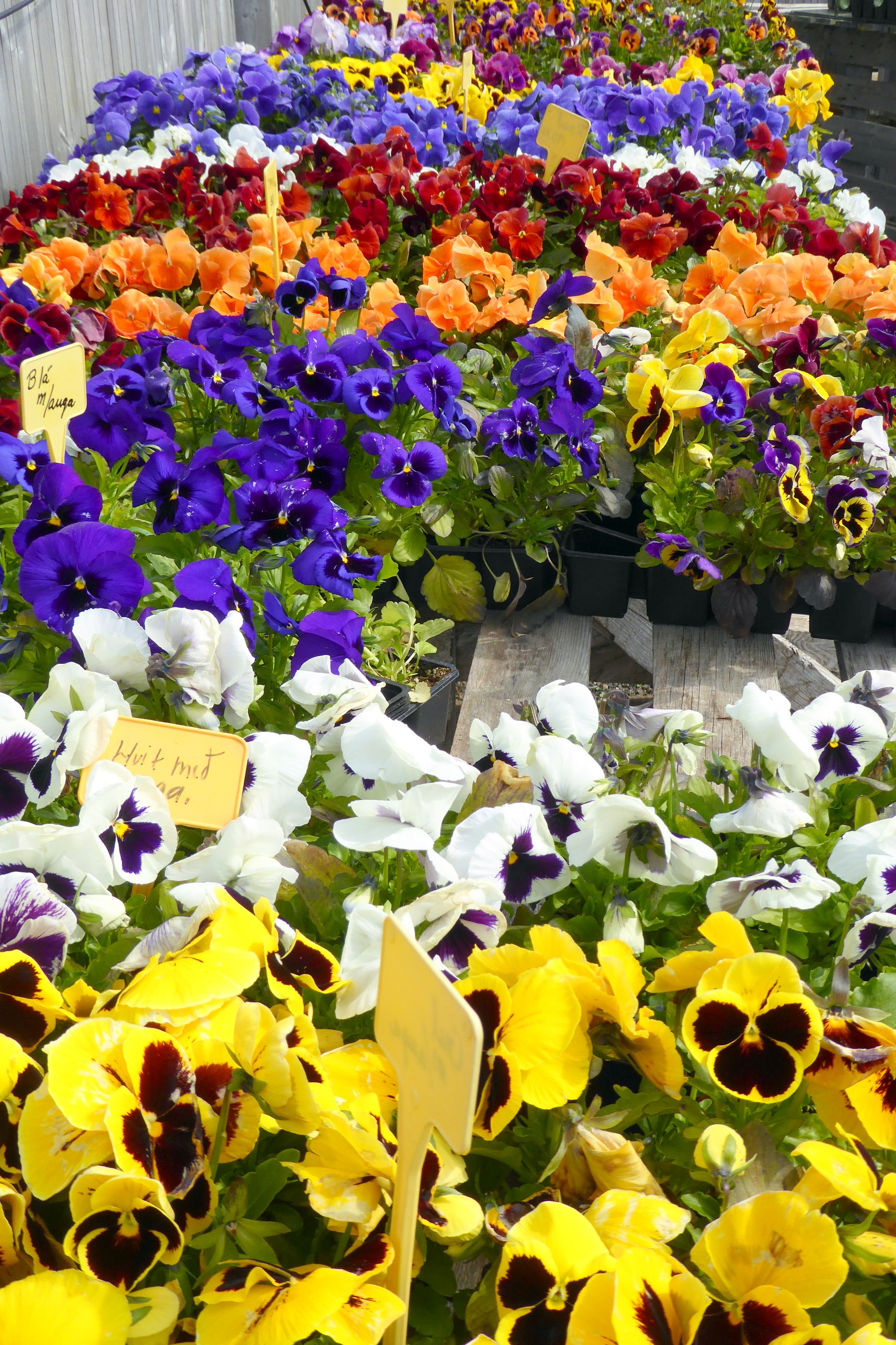
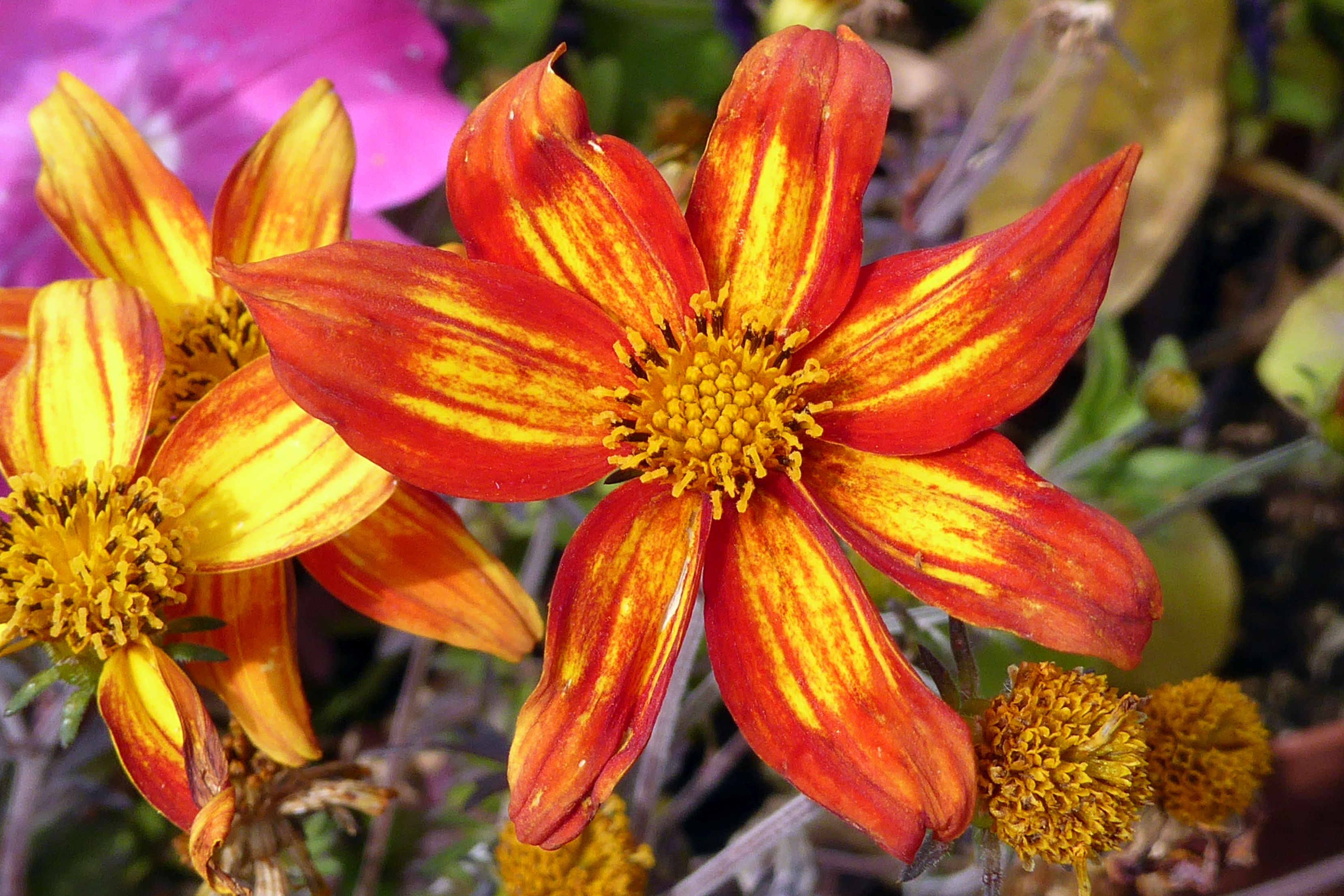
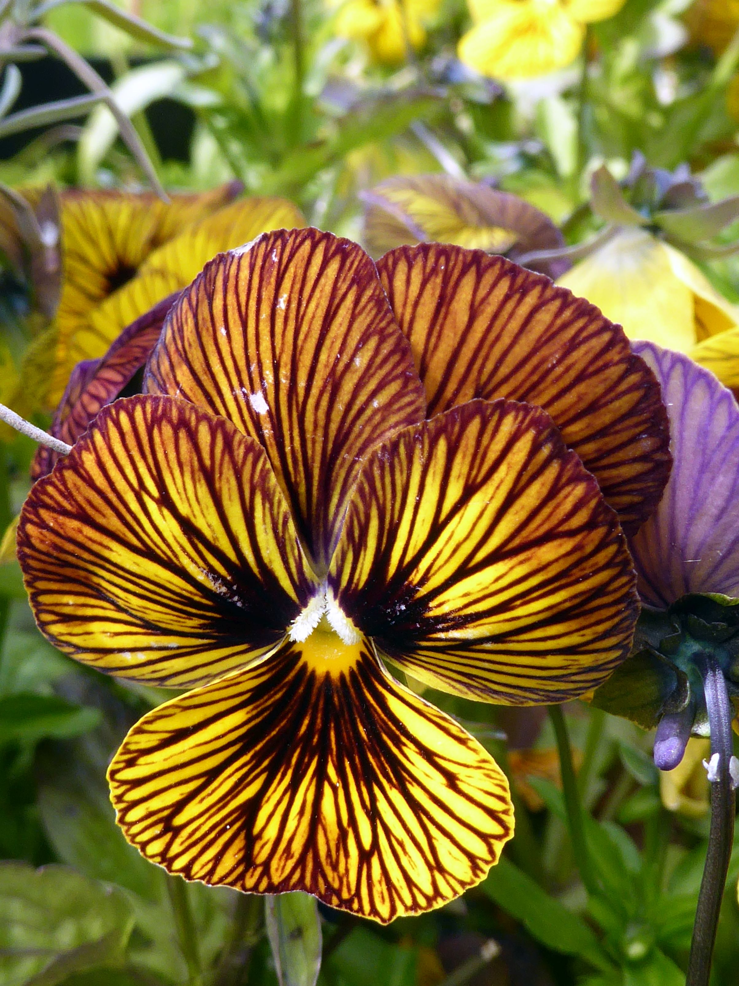
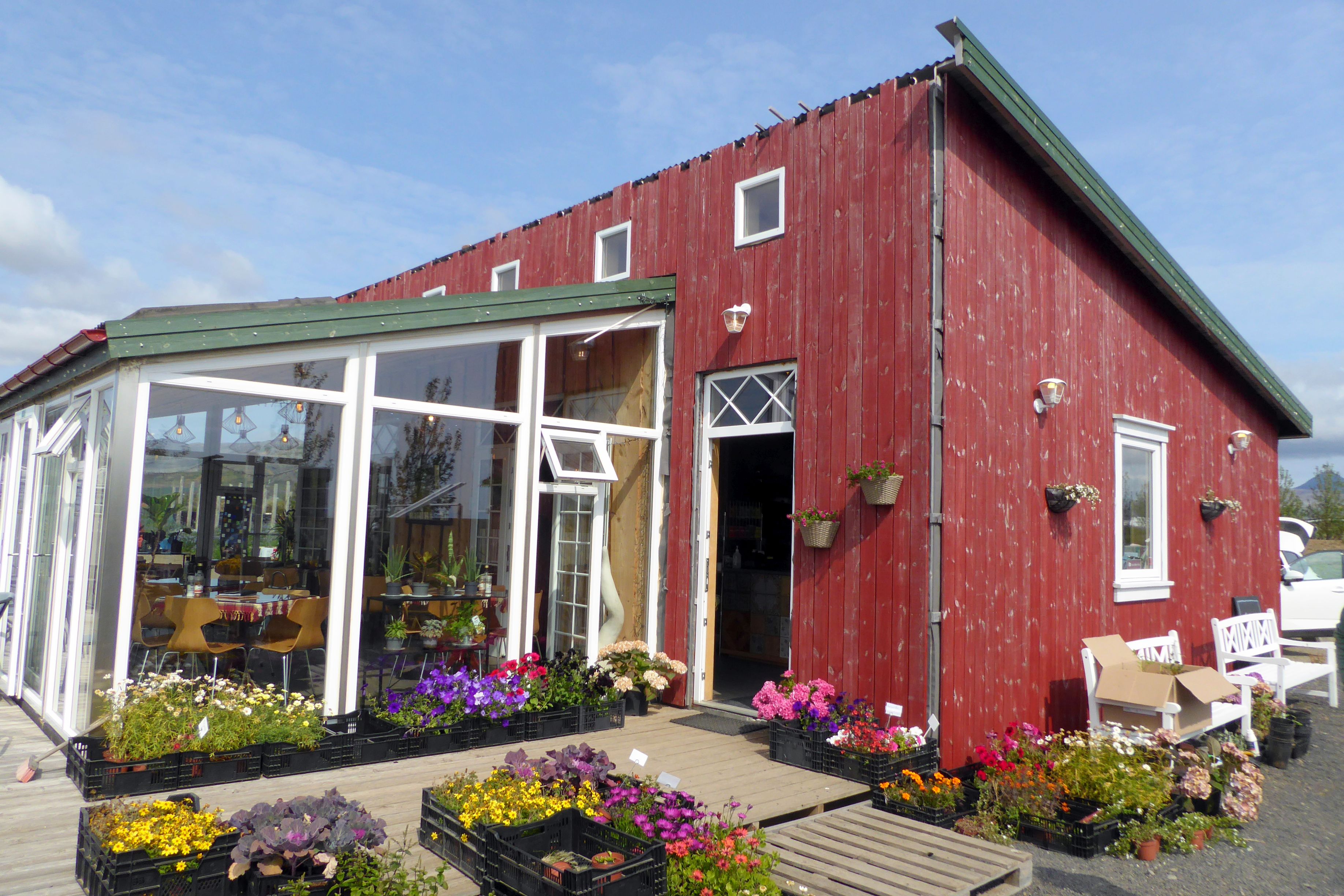
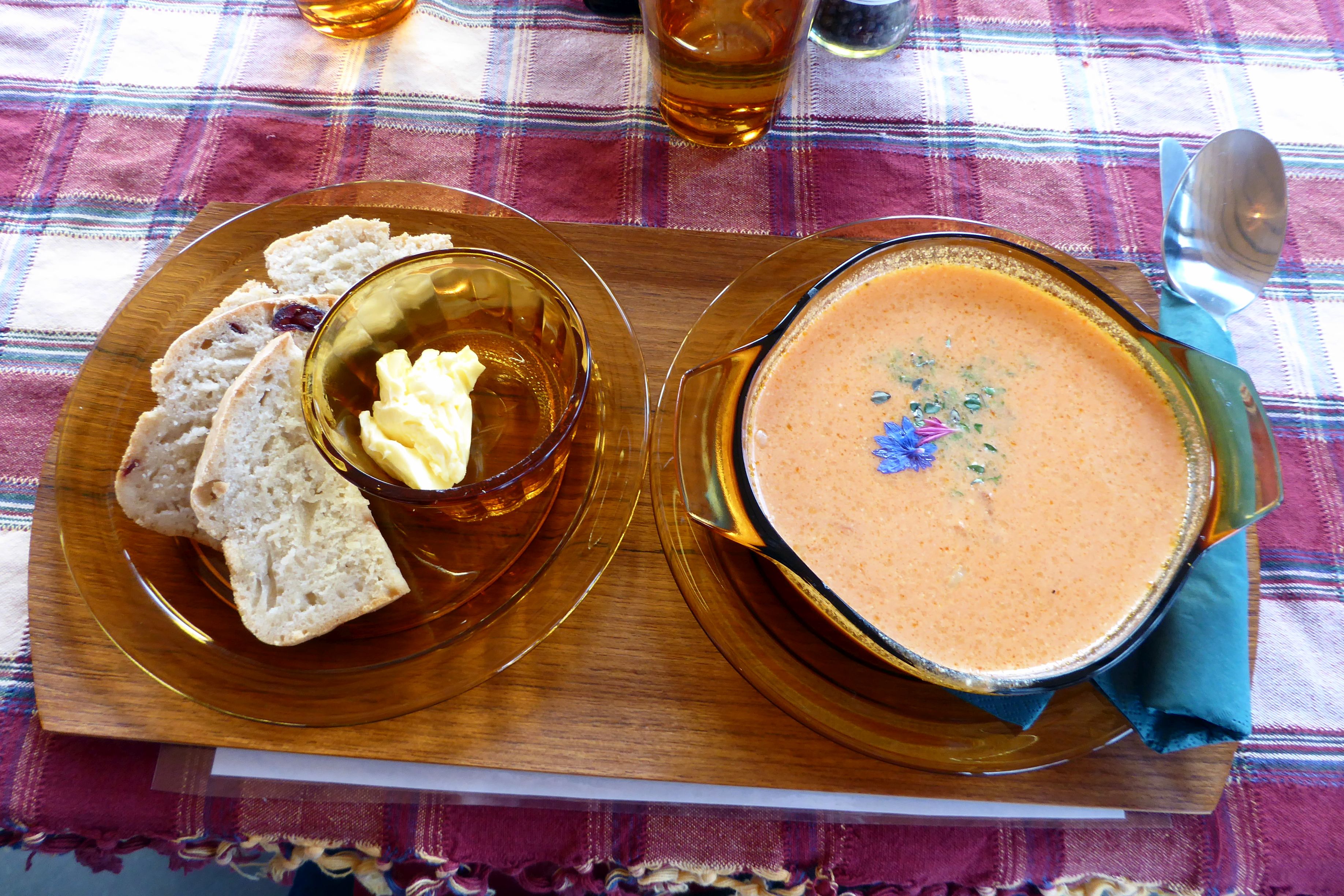
The lunch afterward was so fresh and delicious! We started with a beautiful salad of just-picked greens topped with edible flowers, and was then served this delicious curry soup and fresh-baked bread:
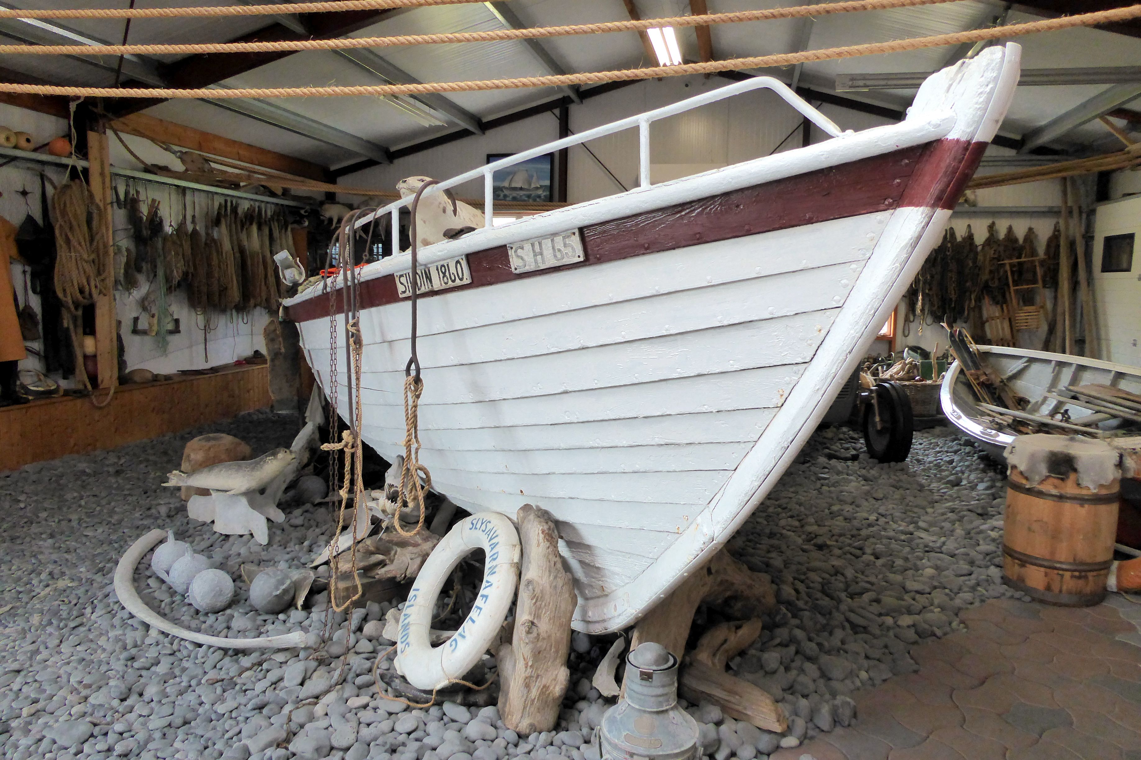
Continuing on our drive, we passed through several fishing villages and stopped at the Bjarnarhofn Shark Museum, where we learned about fishing for Greenland sharks and processing shark meat.

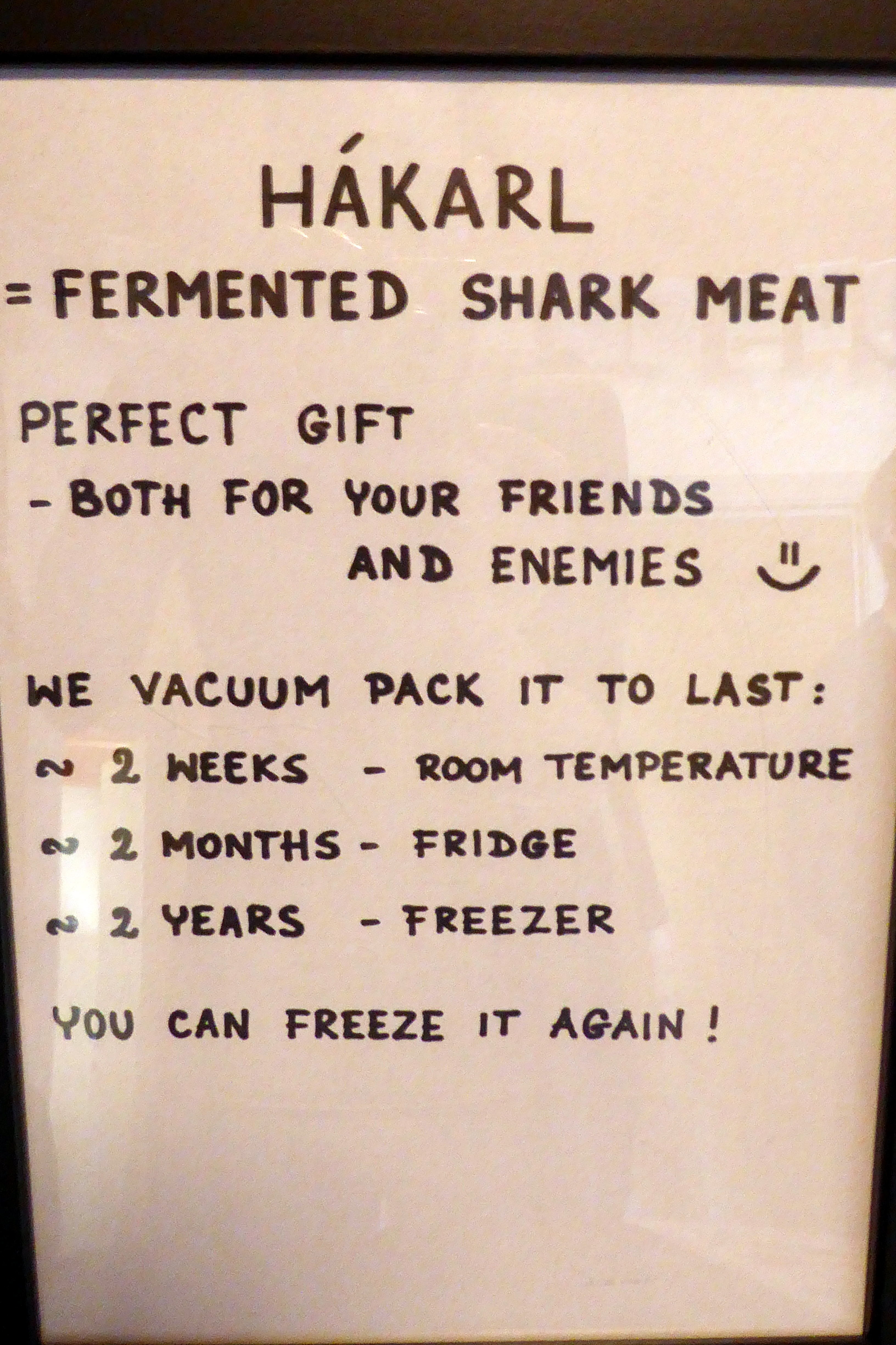
Hakarl, aged shark meat, is a national delicacy. It takes between 4-6 months to process and is traditionally consumed with Brennivin, at one time the only hard liquor found in Iceland and often referred to as “Black Death.”
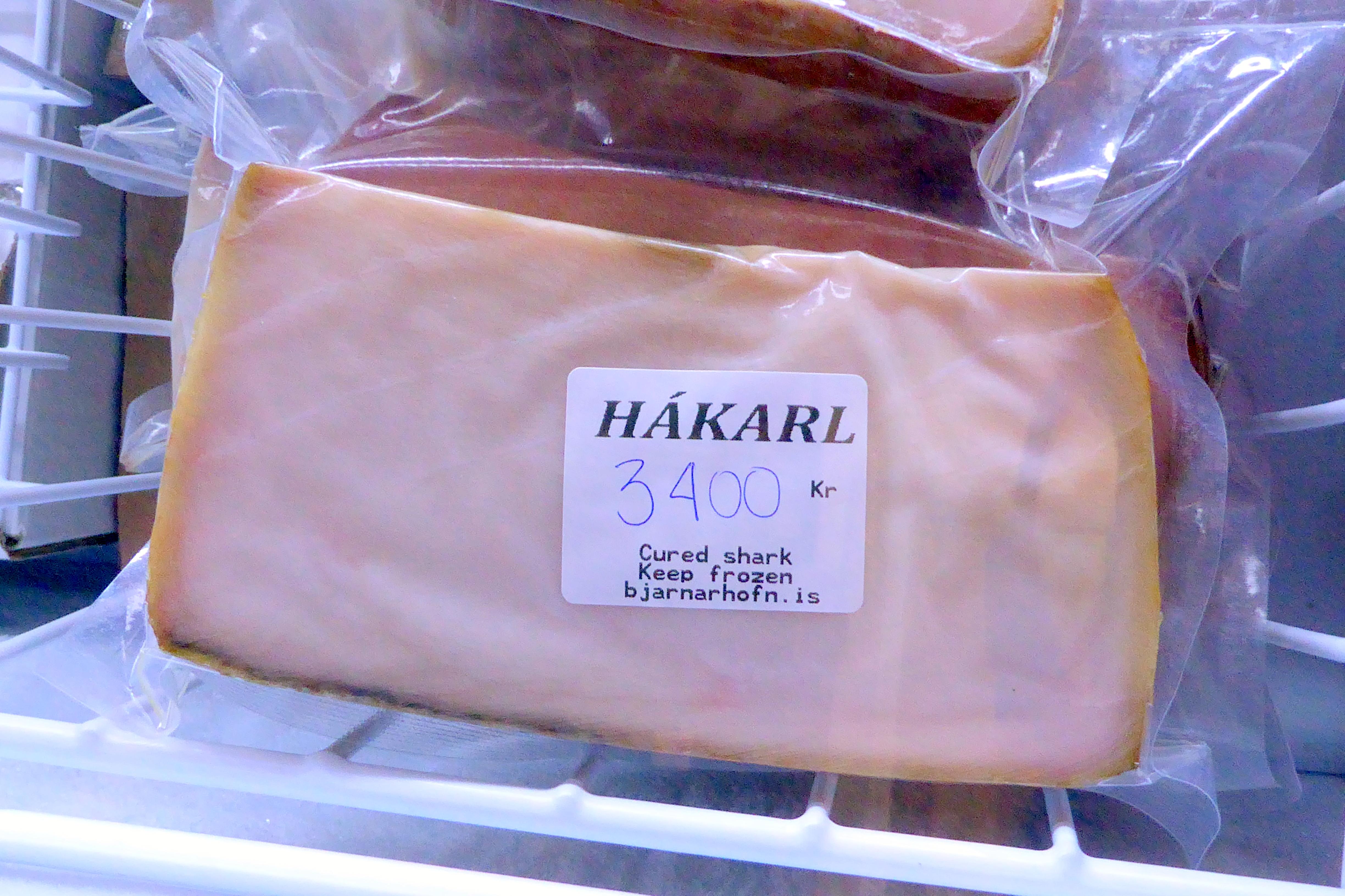
We had the opportunity to taste Harkarl, first with a piece of rye bread, next, by itself, and finally, with liquor. Most of our group either passed on the opportunity or couldn’t get past the first taste. I get it; the smell was bad, and the taste was horrible. I wanted to see if I could handle tasting the shark meat all three ways, so I forged ahead. I’m not sure what was worse, the shark meat or the liquor chaser – definitely an acquired taste I had no intention of acquiring.


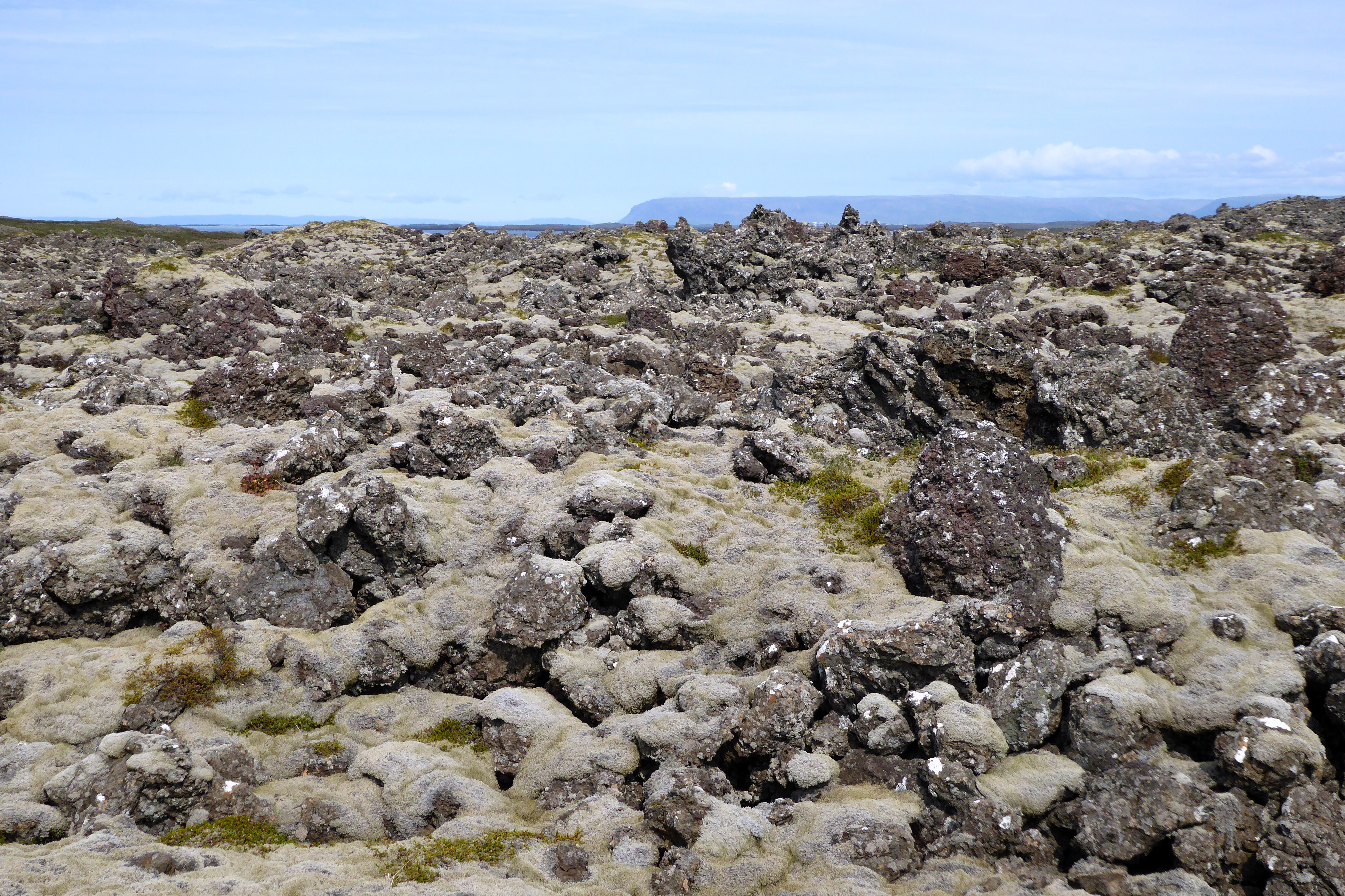
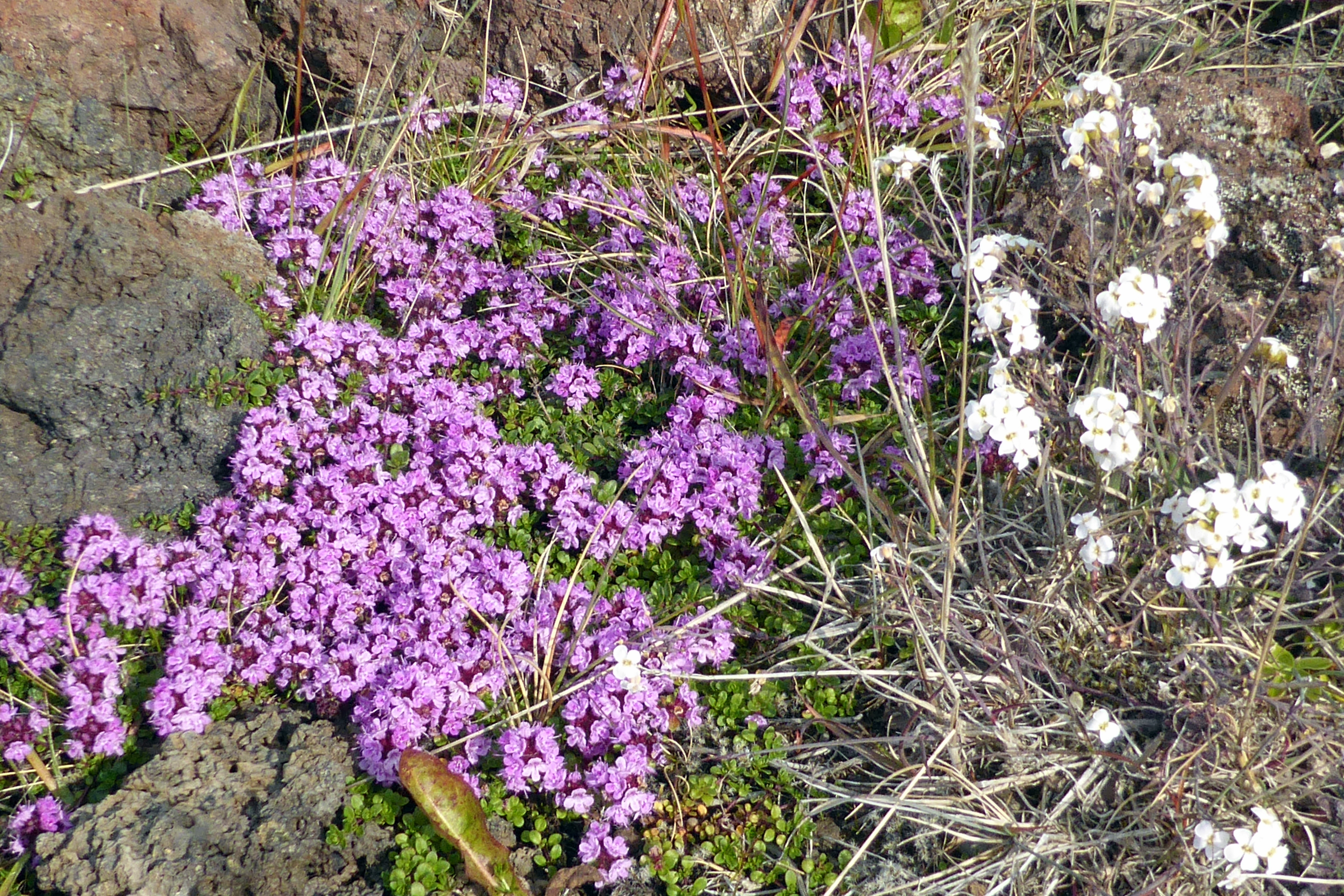
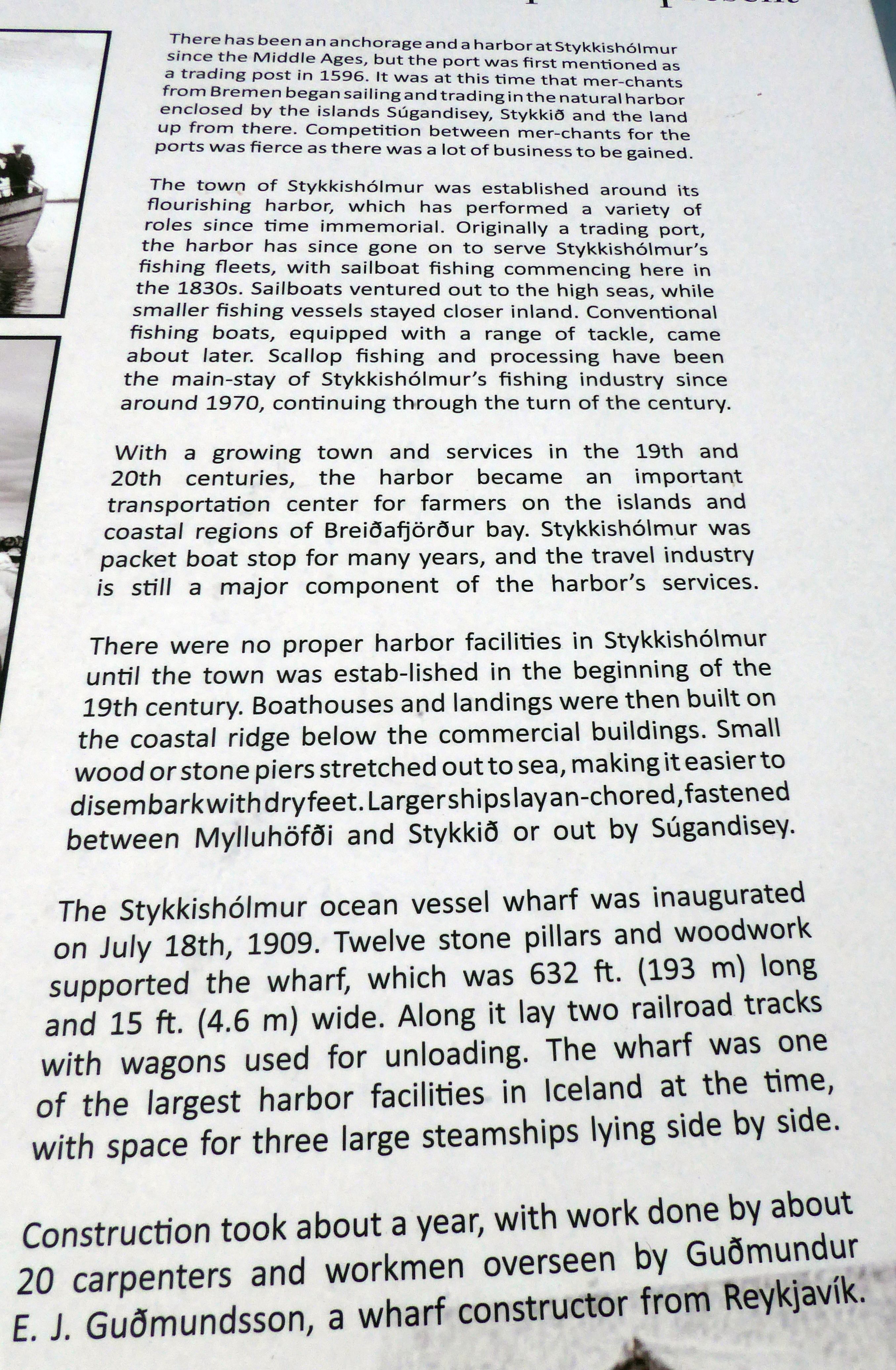
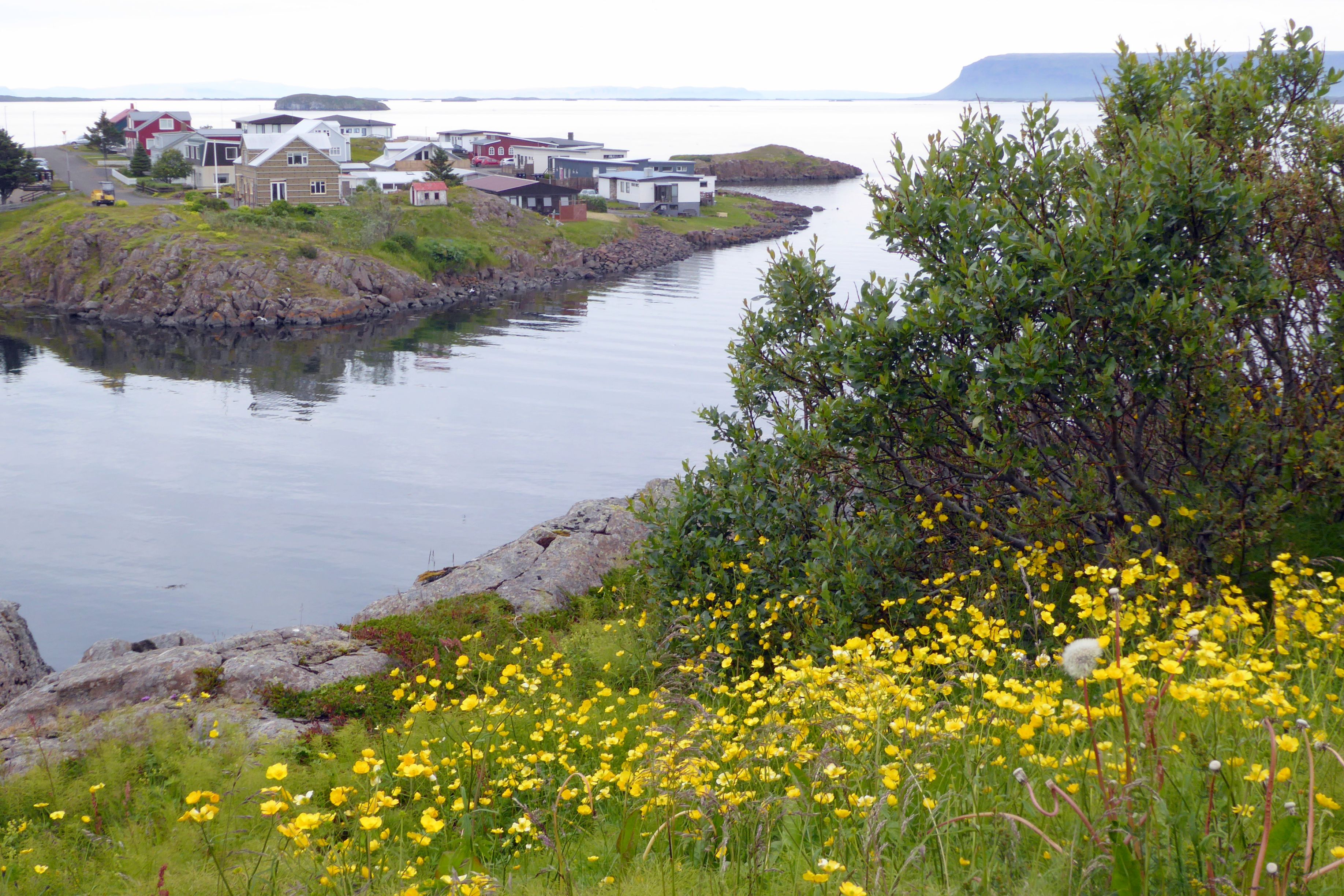
By the time we got to Stykkisholmur, I was ready to leave blood mares and aged shark meat behind and go for a nice, refreshing walk. It was a beautiful afternoon, and this little fishing town was calling our name. The walk around the harbor and up to the lighthouse was joyful!


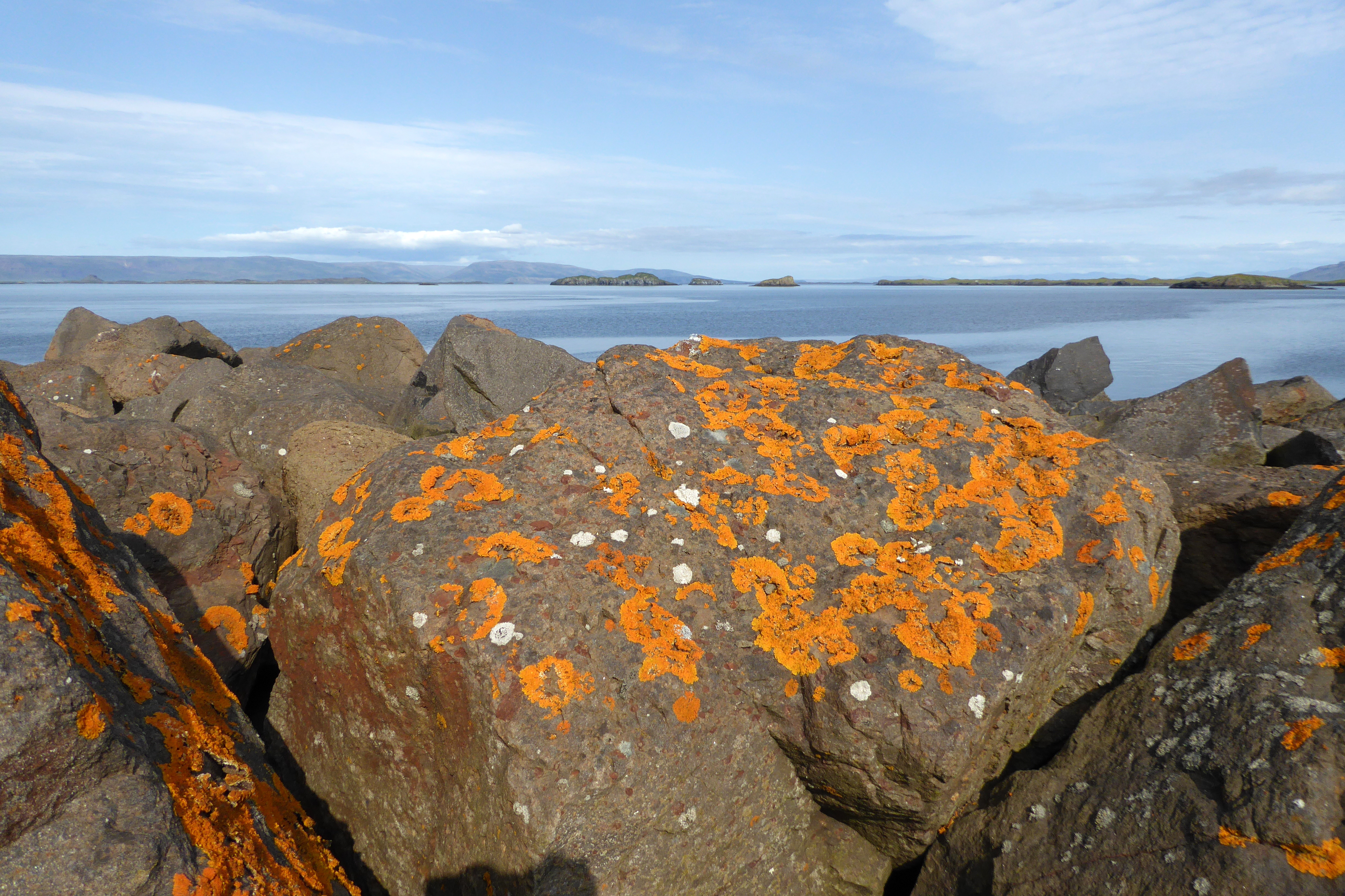
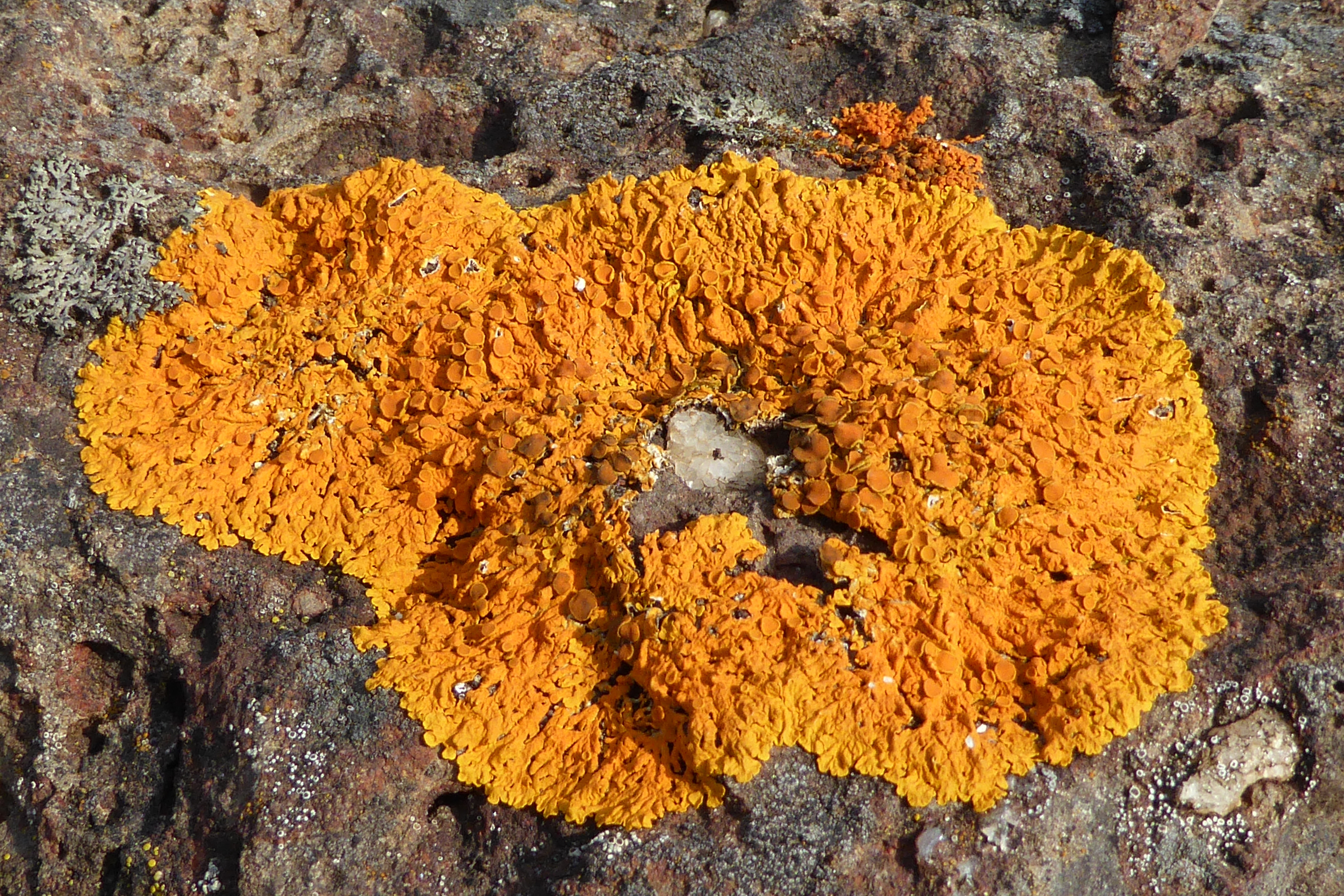
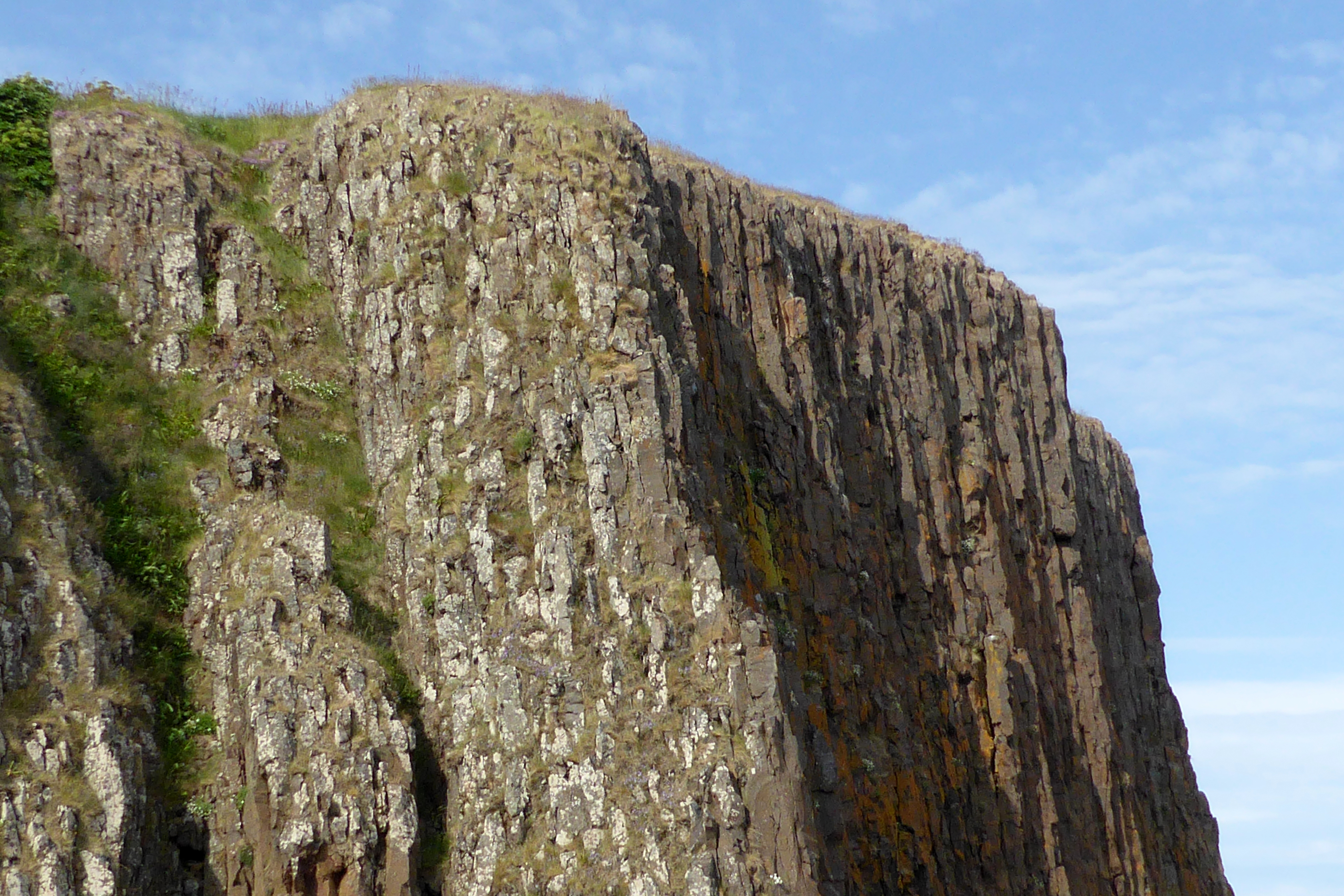
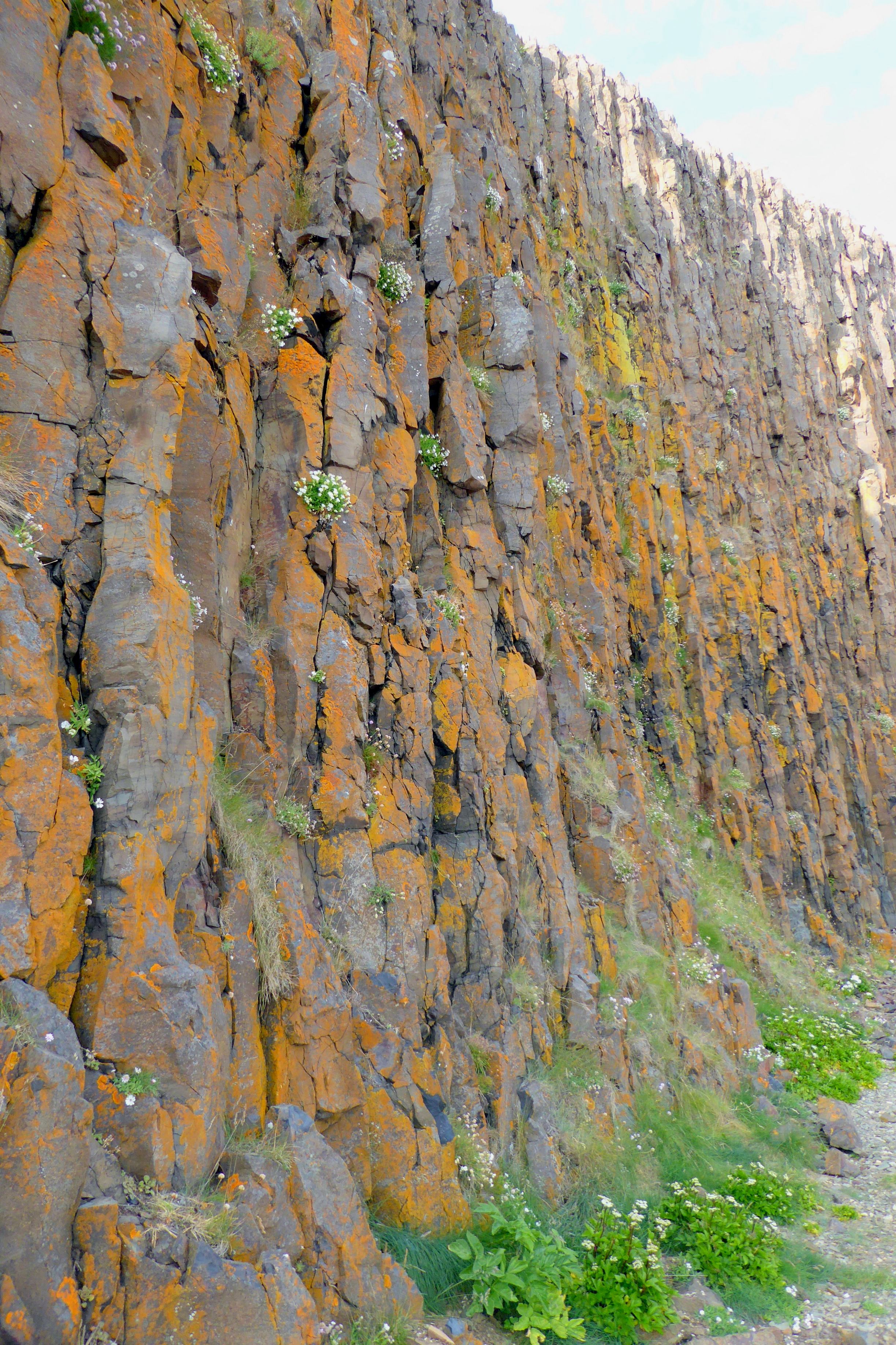

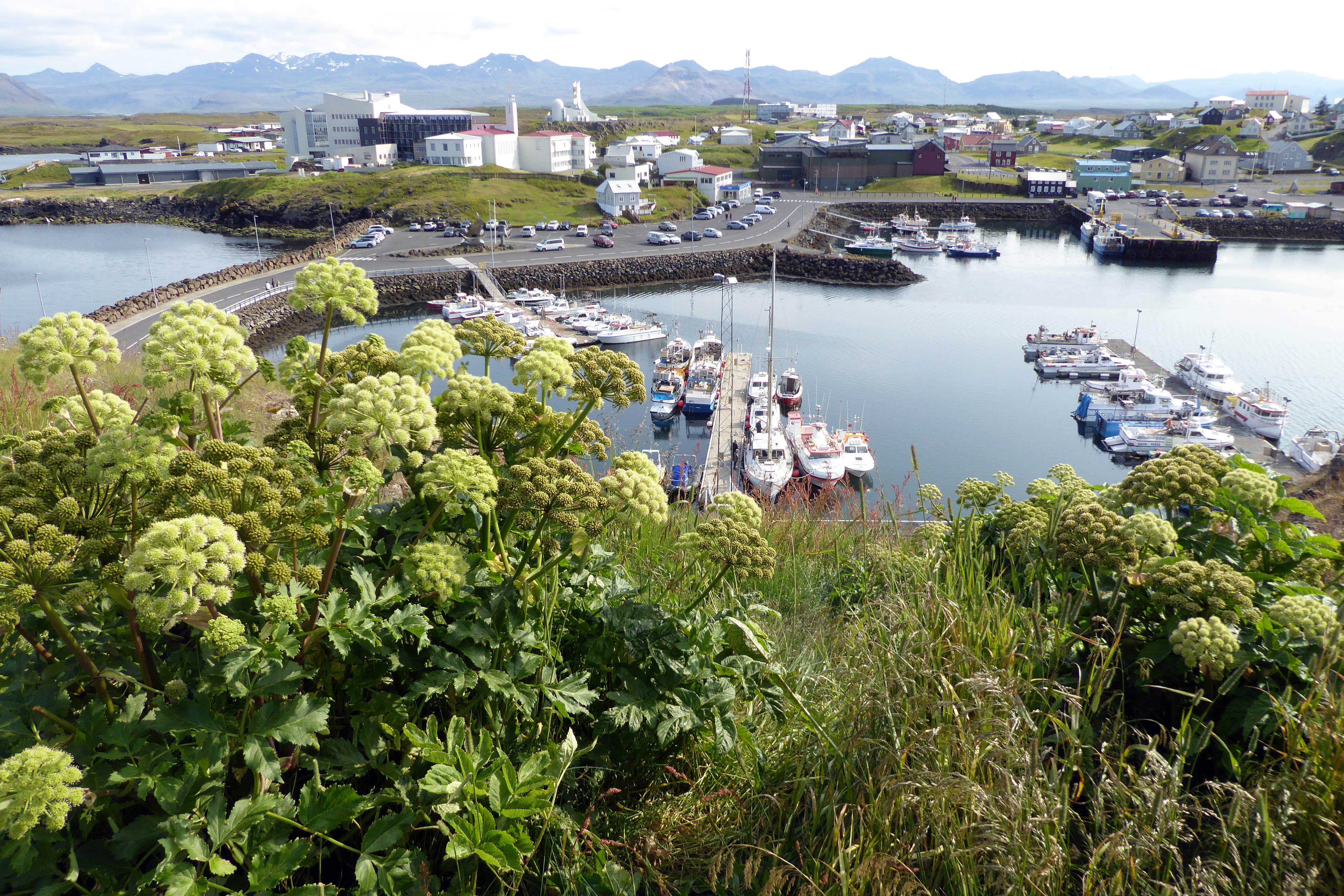
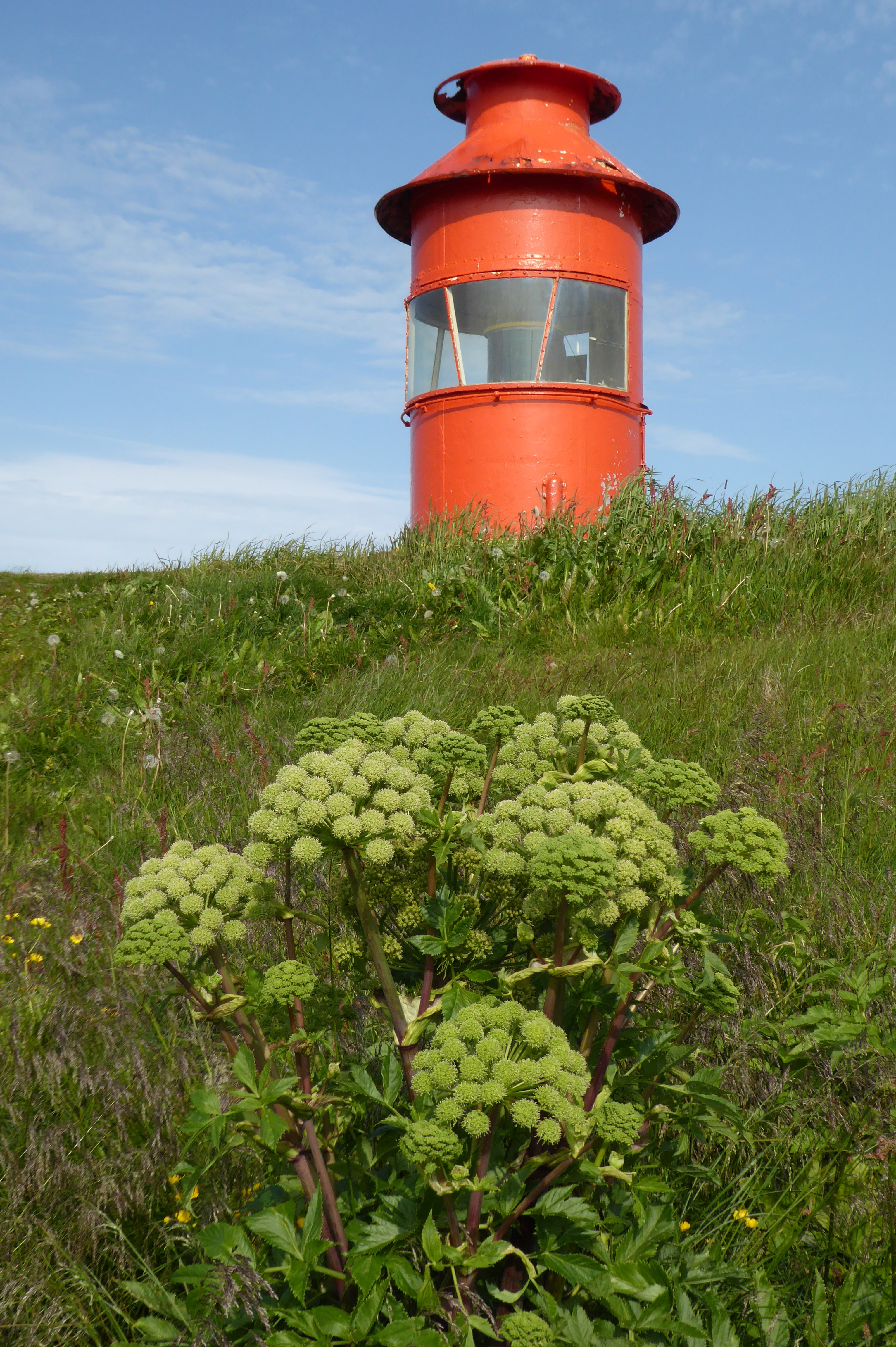
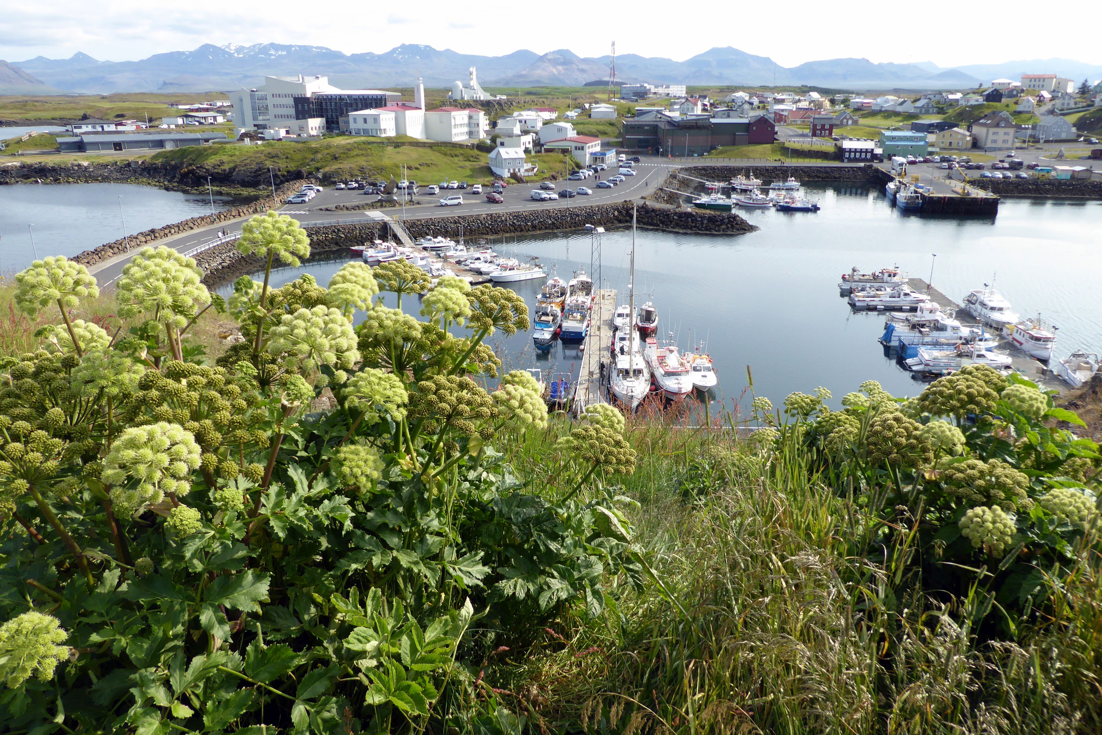
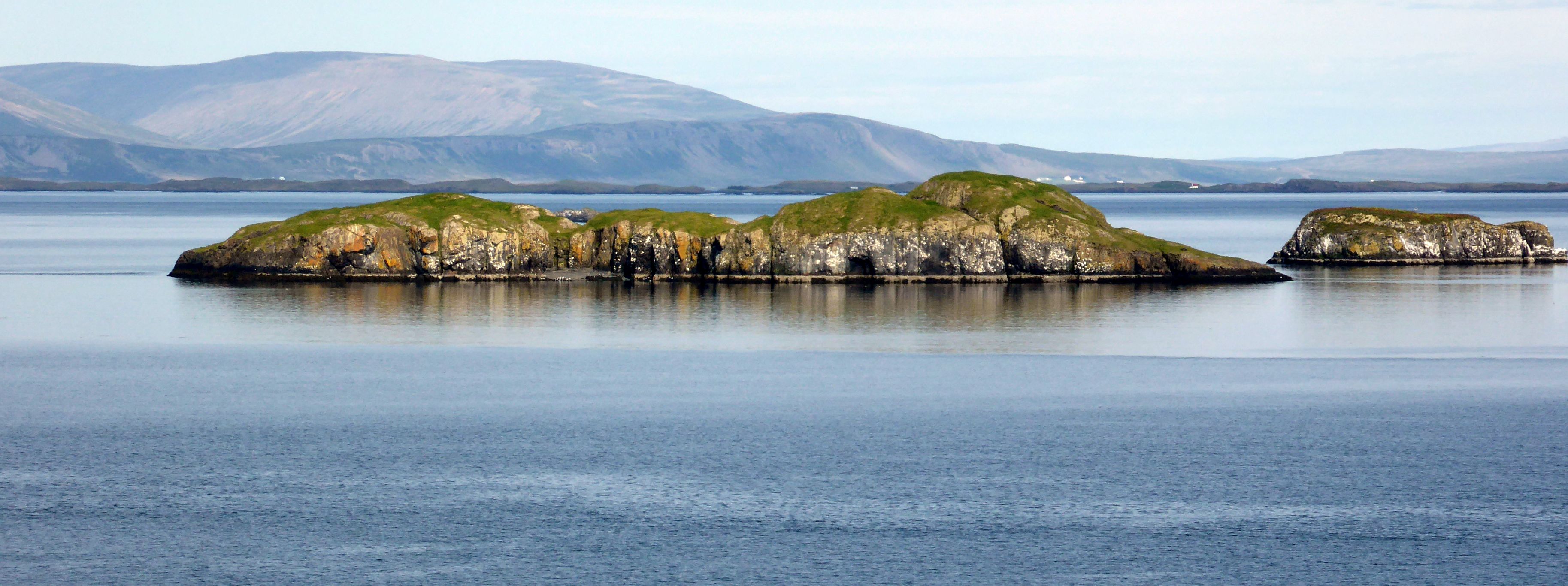

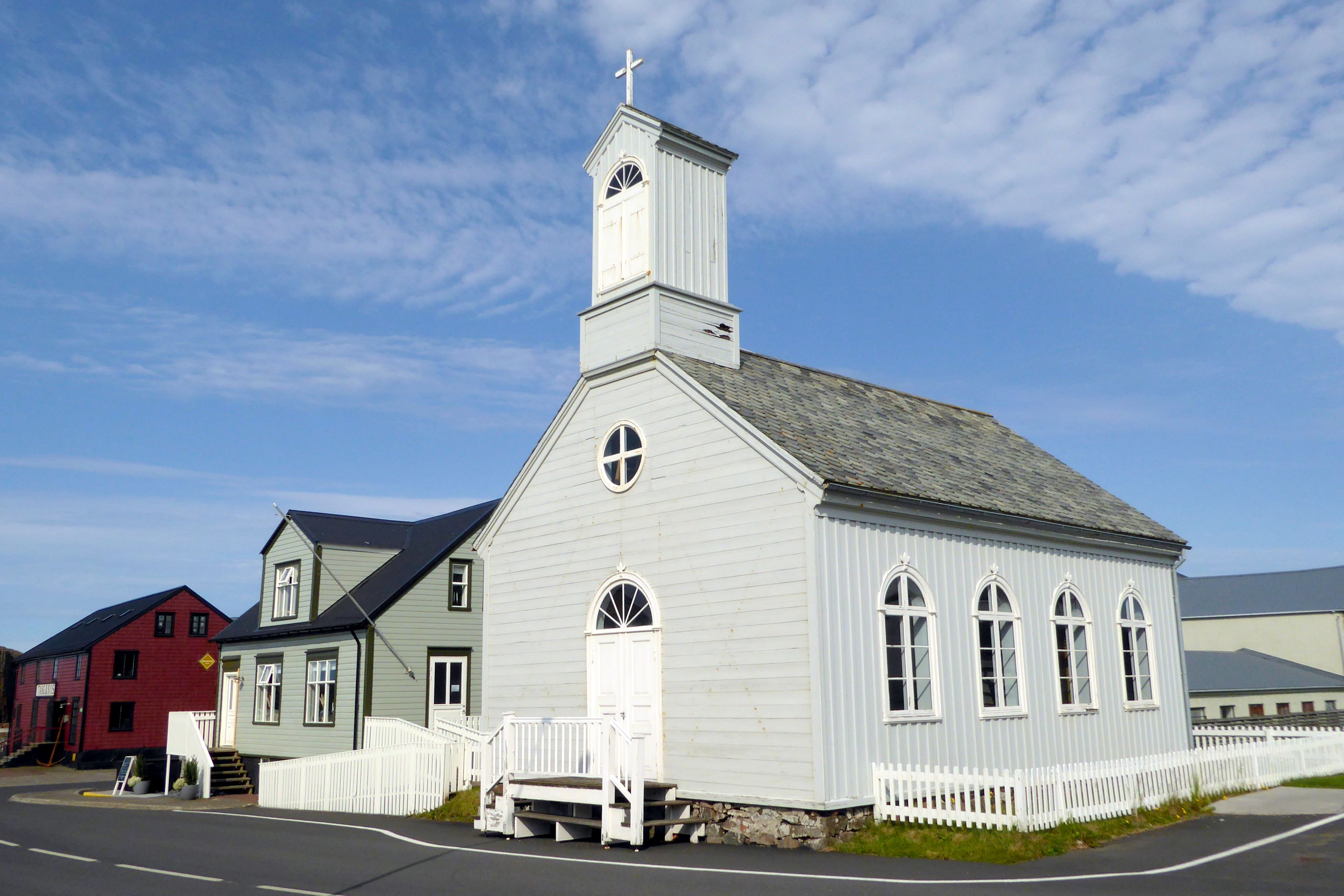

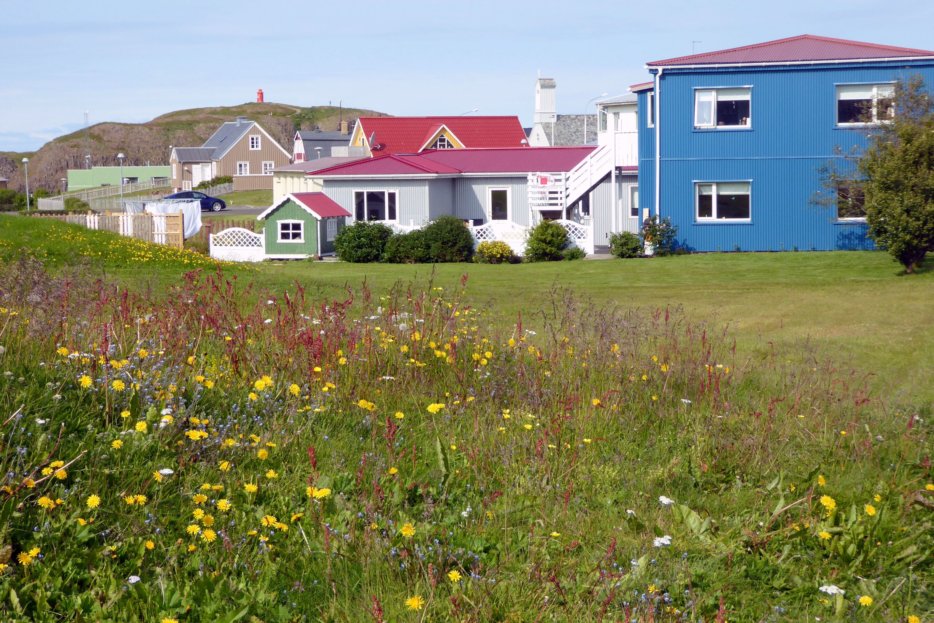
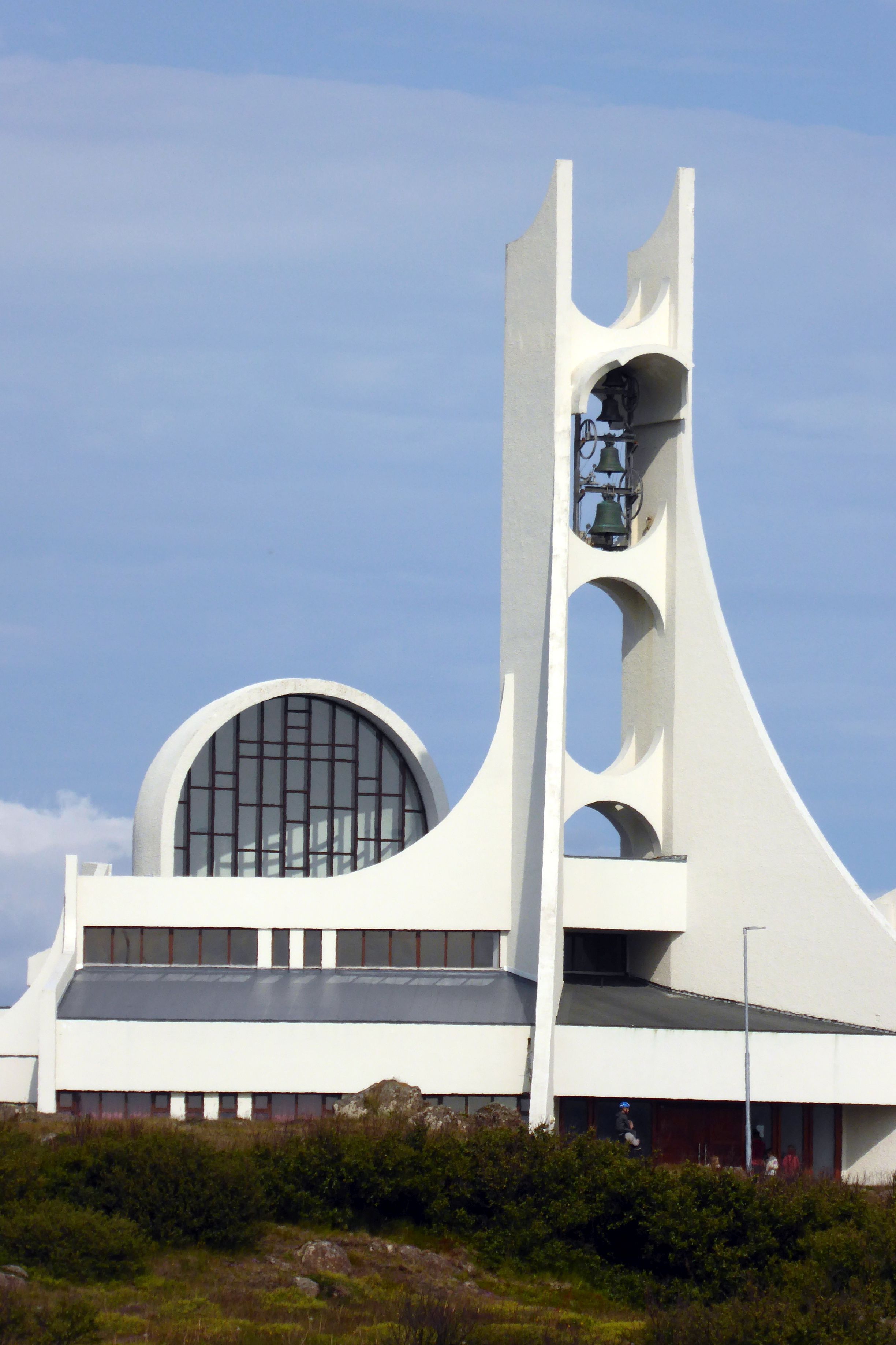
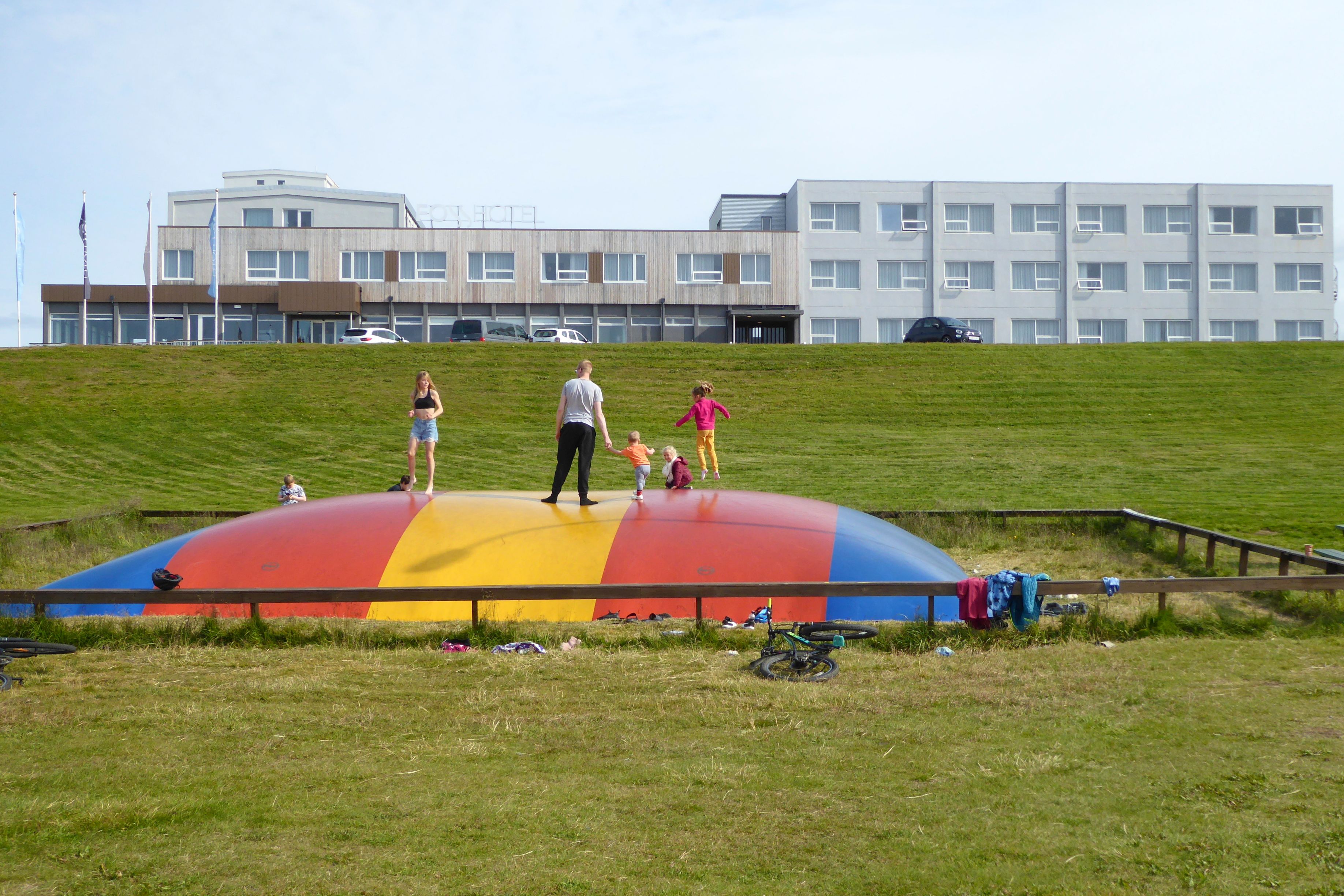
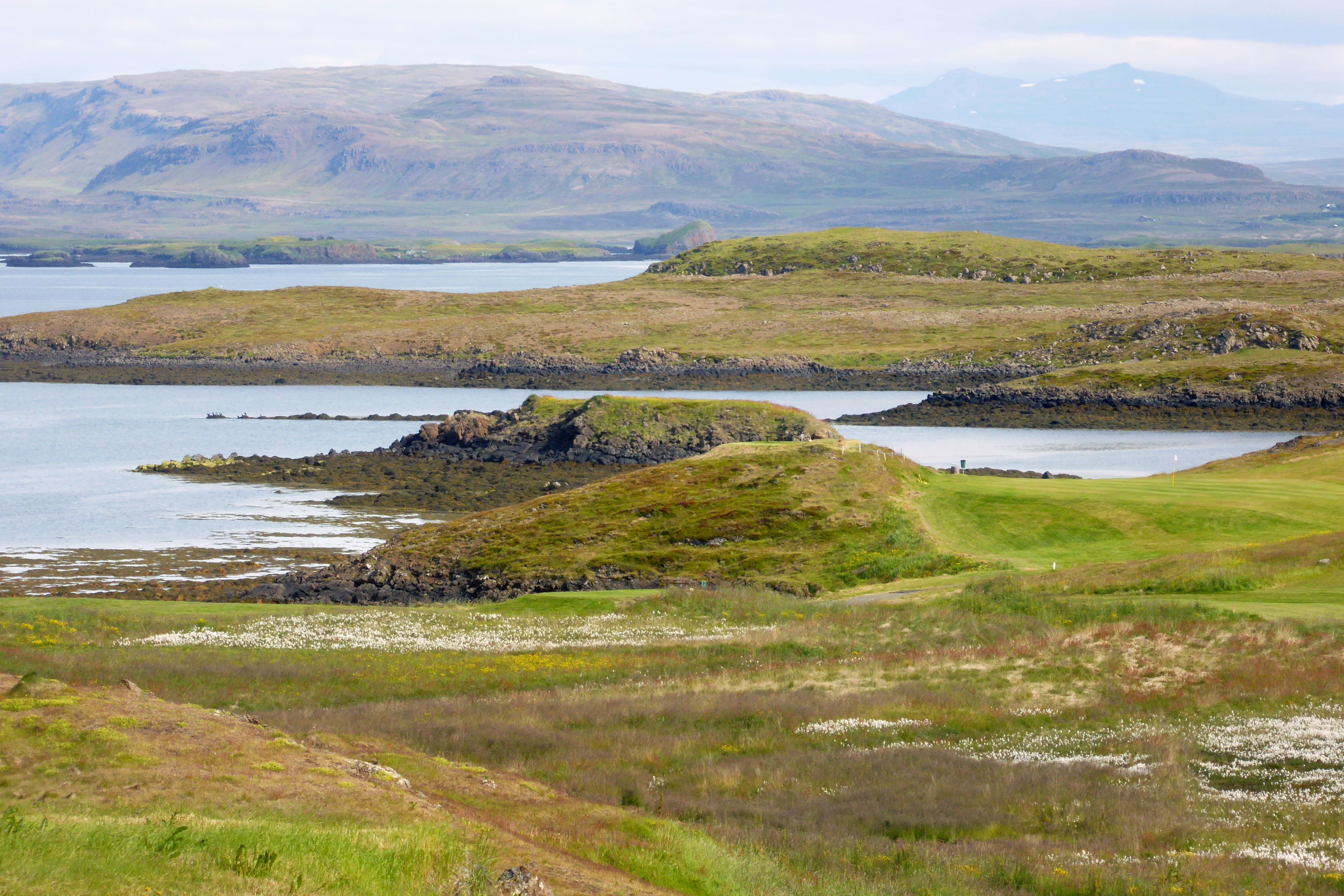
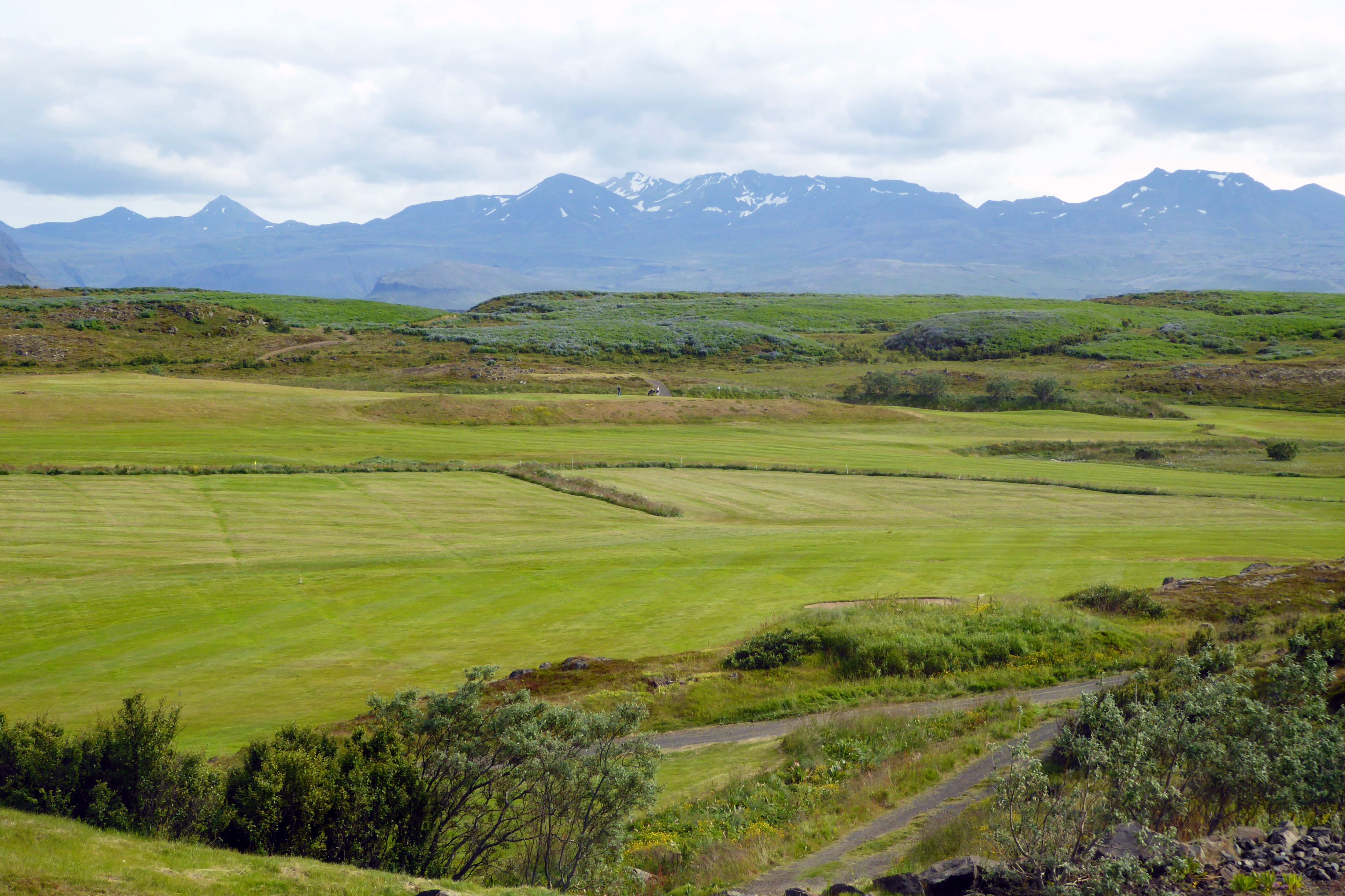

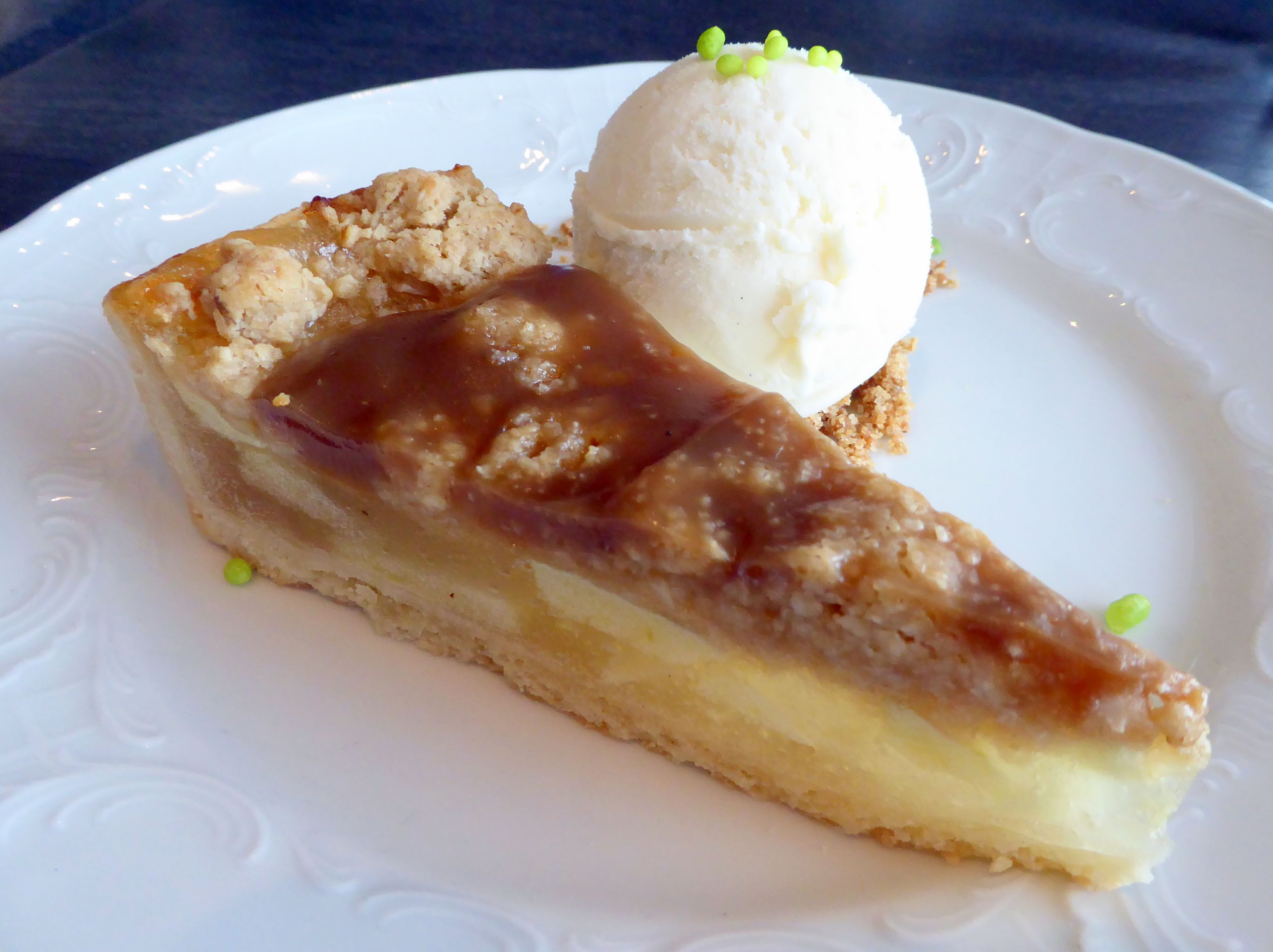
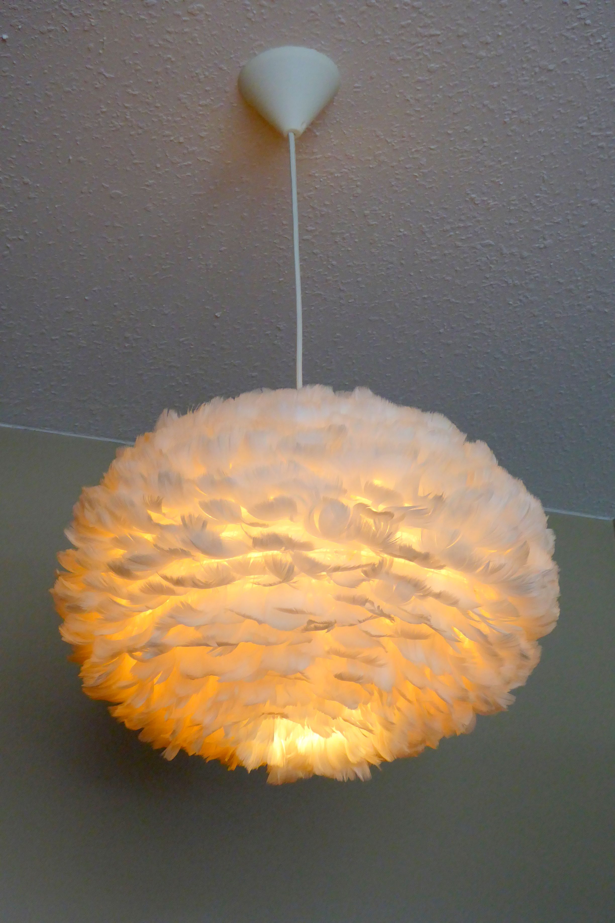
Following our group dinner at the hotel, the beautiful evening was beckoning me for another walk. It was lovely to be able enjoy Iceland’s long summer day well into the evening.
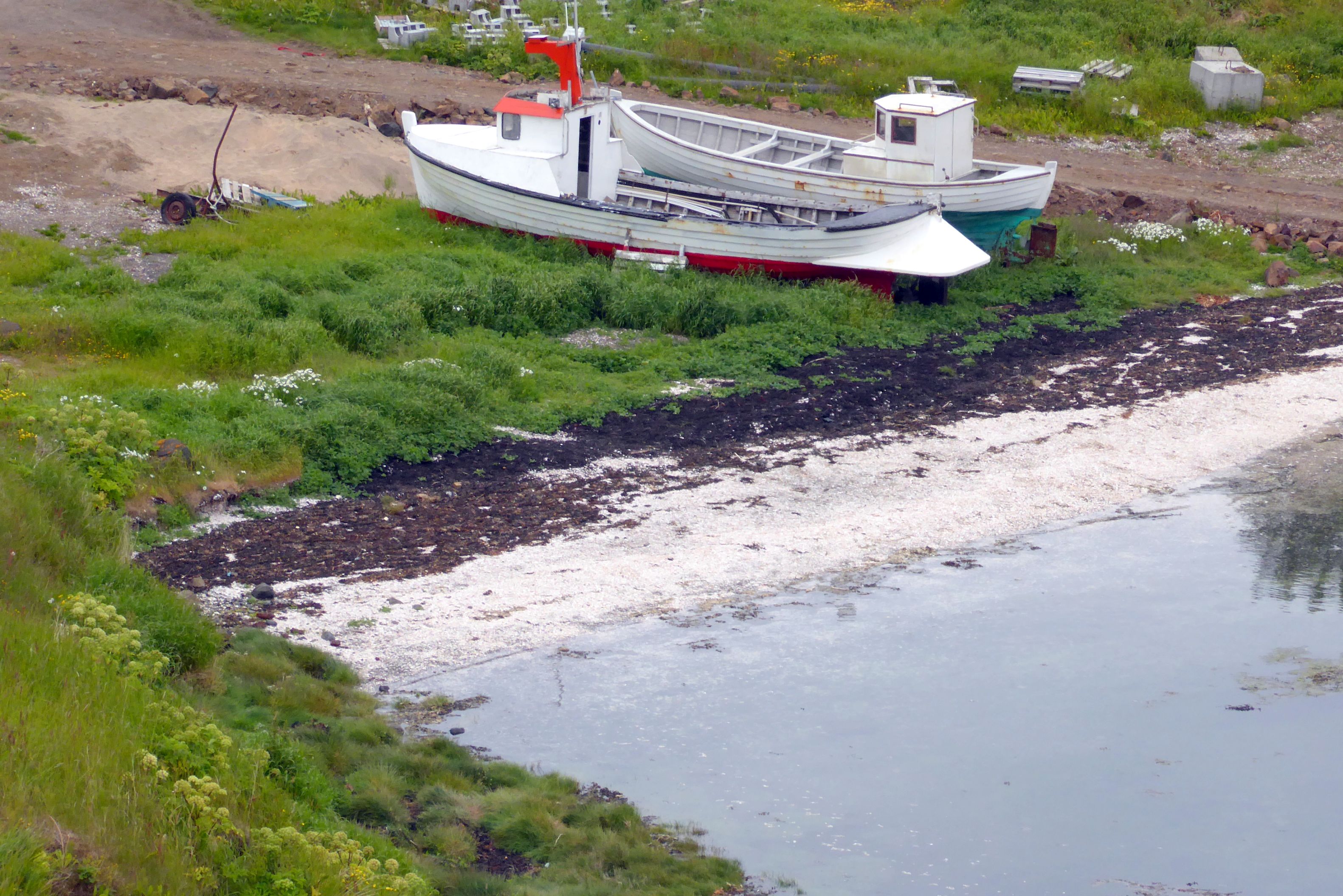

Next up: Scenic Snaefellsness (Part 2)
Note: If small group travel is of interest to you, I highly recommend Overseas Adventure Travel (OAT). Although Bruce and I travel together, they do not charge a single supplement for those who travel on their own. Singles also get their own room at hotels. If you book, you can get $100 off your trip by providing my name and customer number (Elaine Krugman, #3018126) as the person who referred you. I will also get $100 off future travel– a win-win!
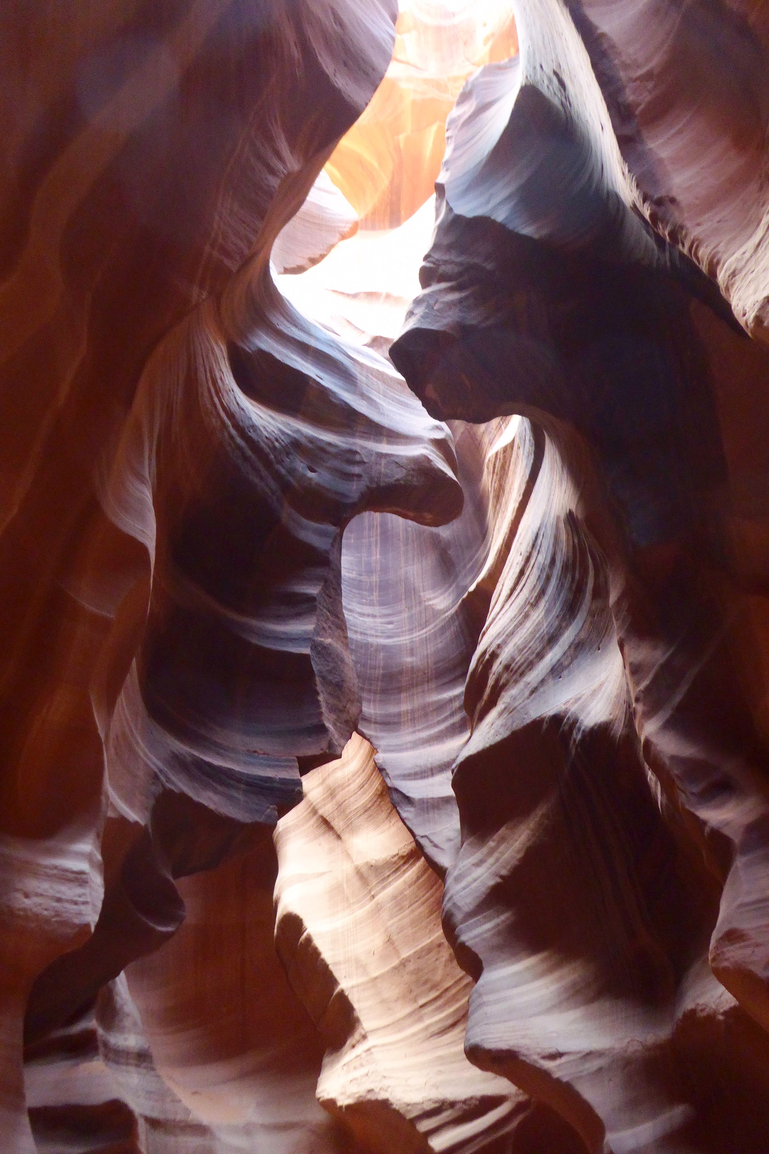
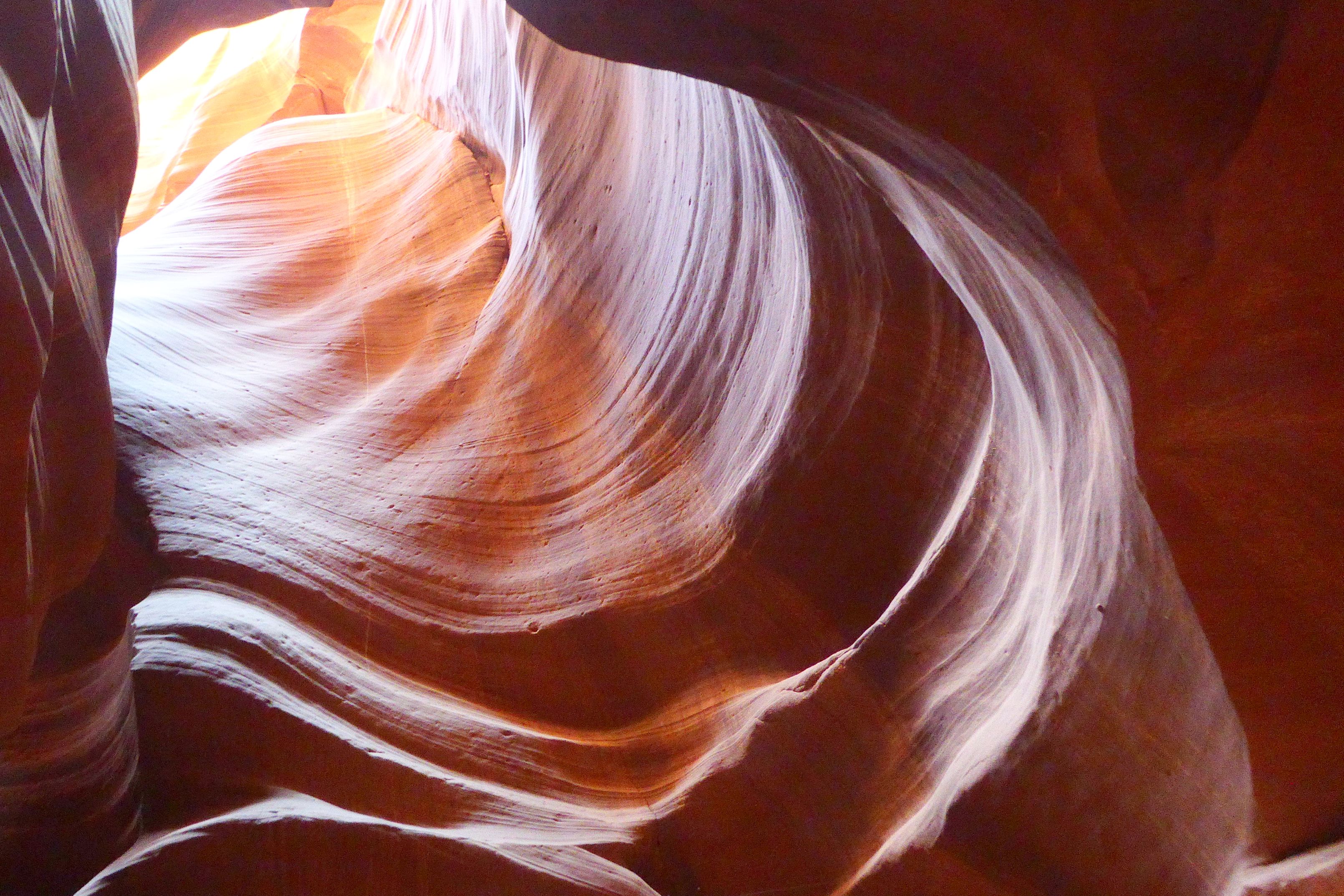
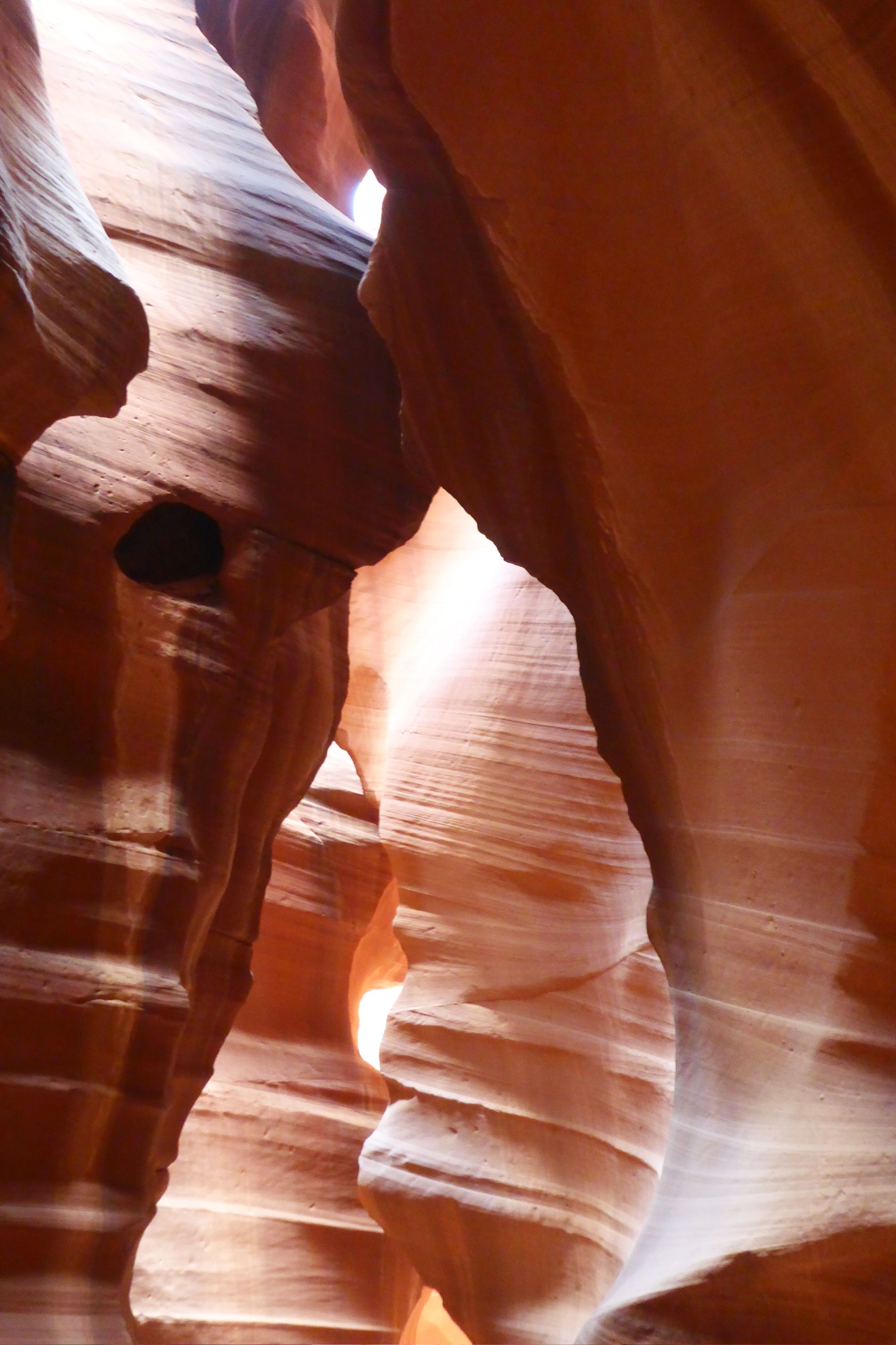
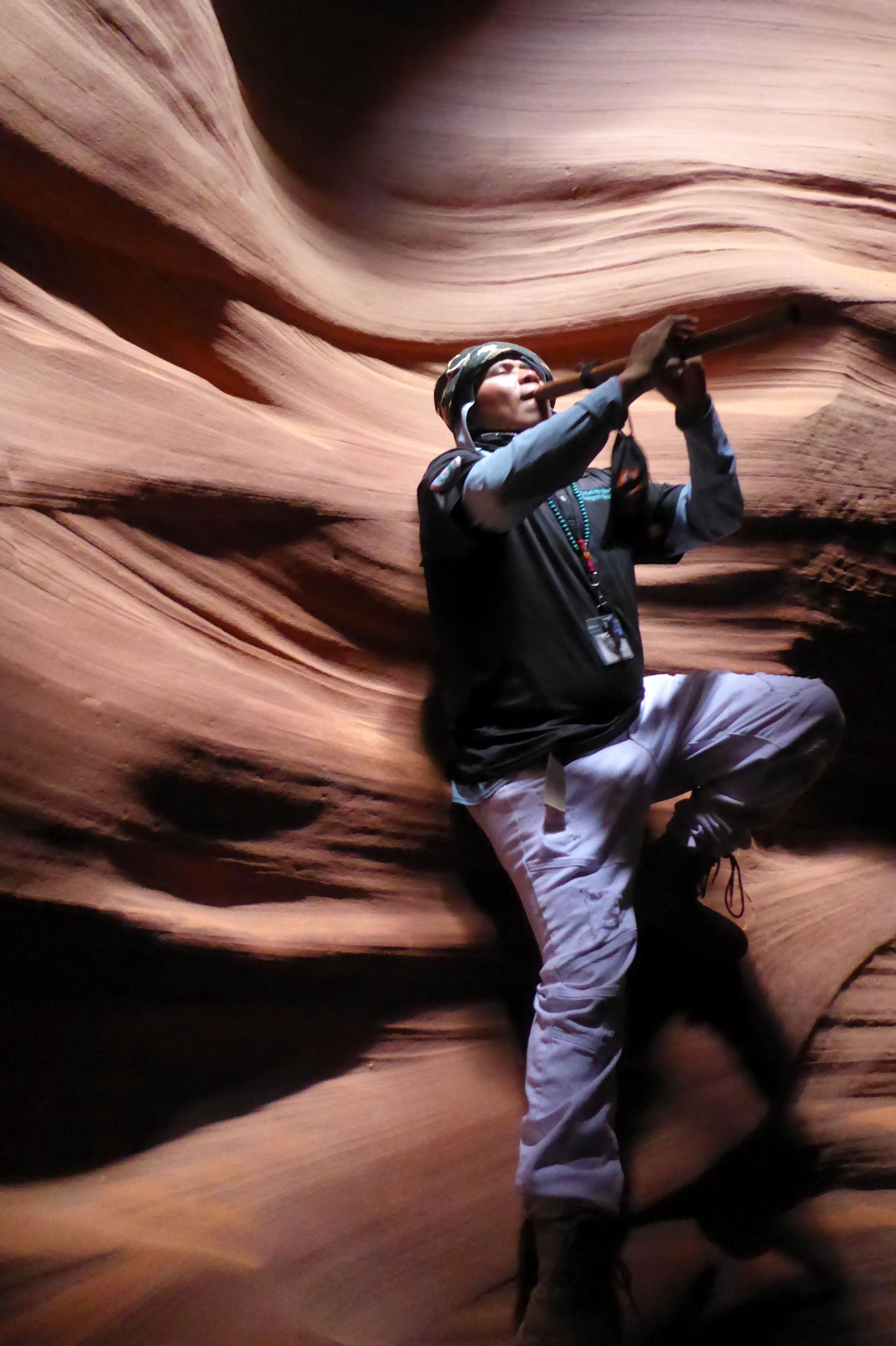
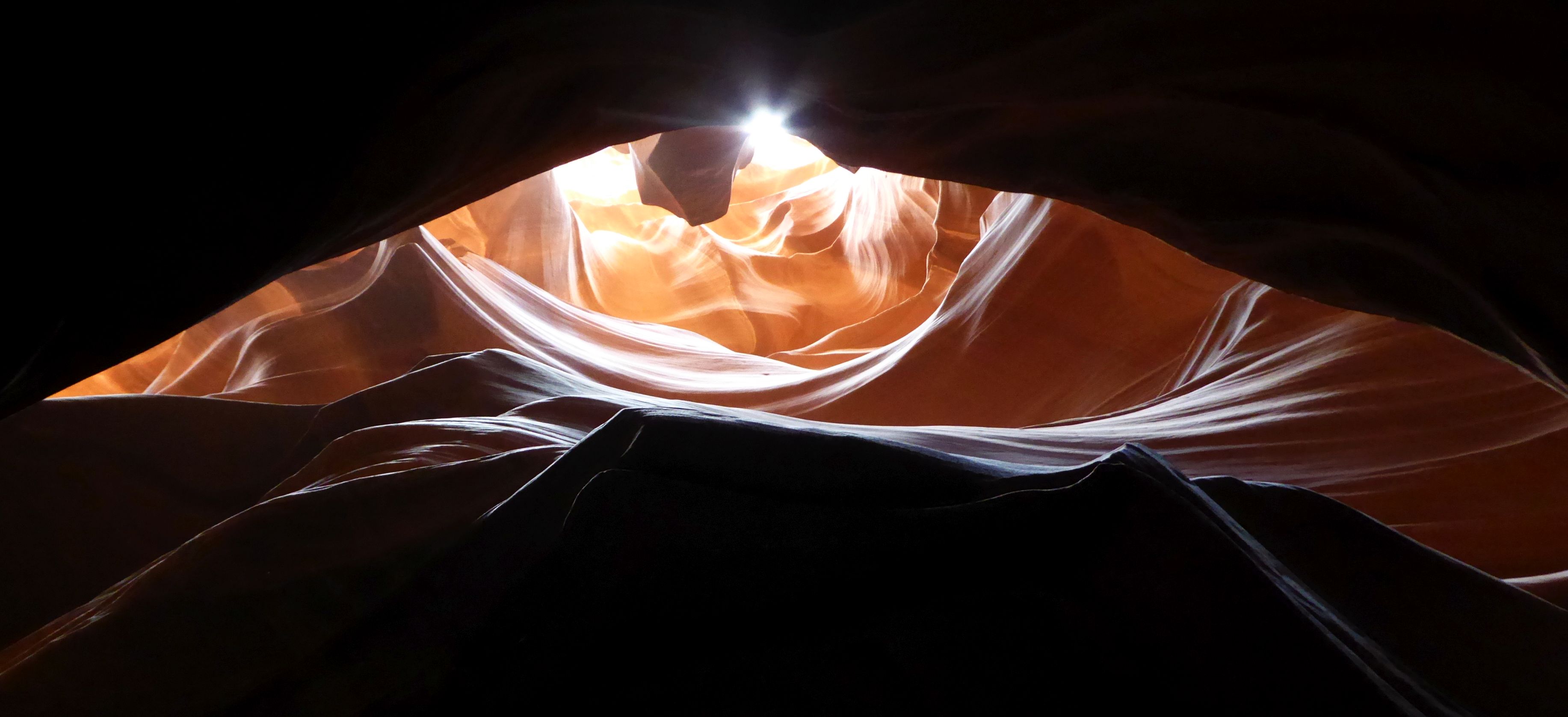
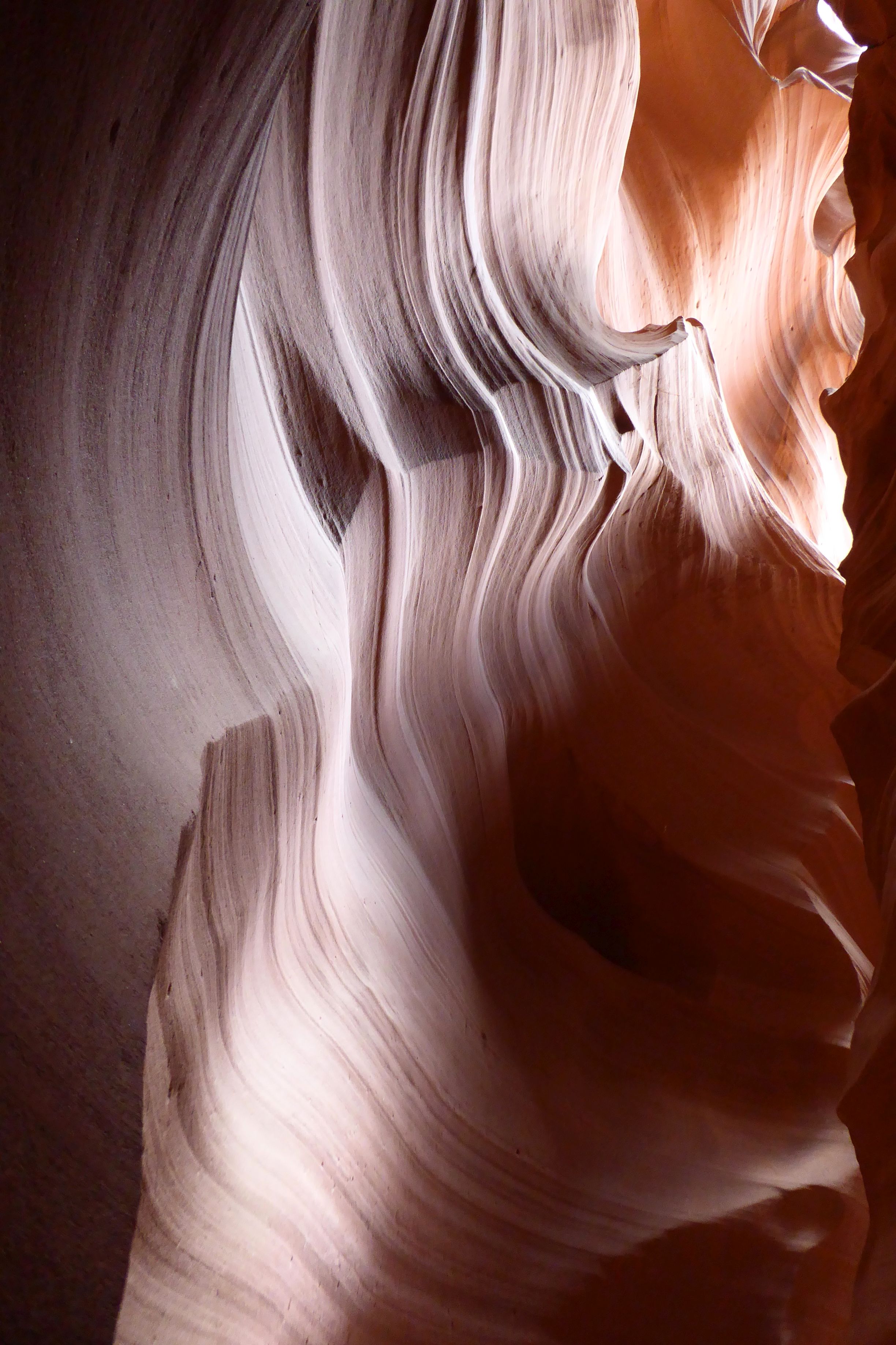
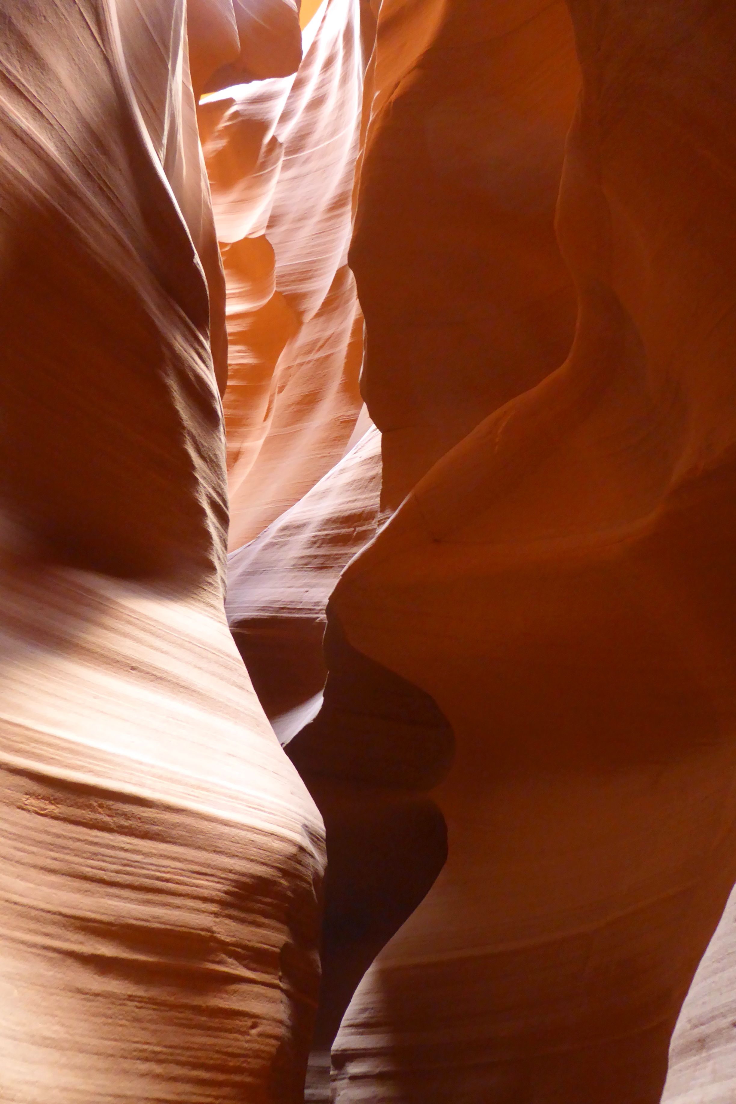
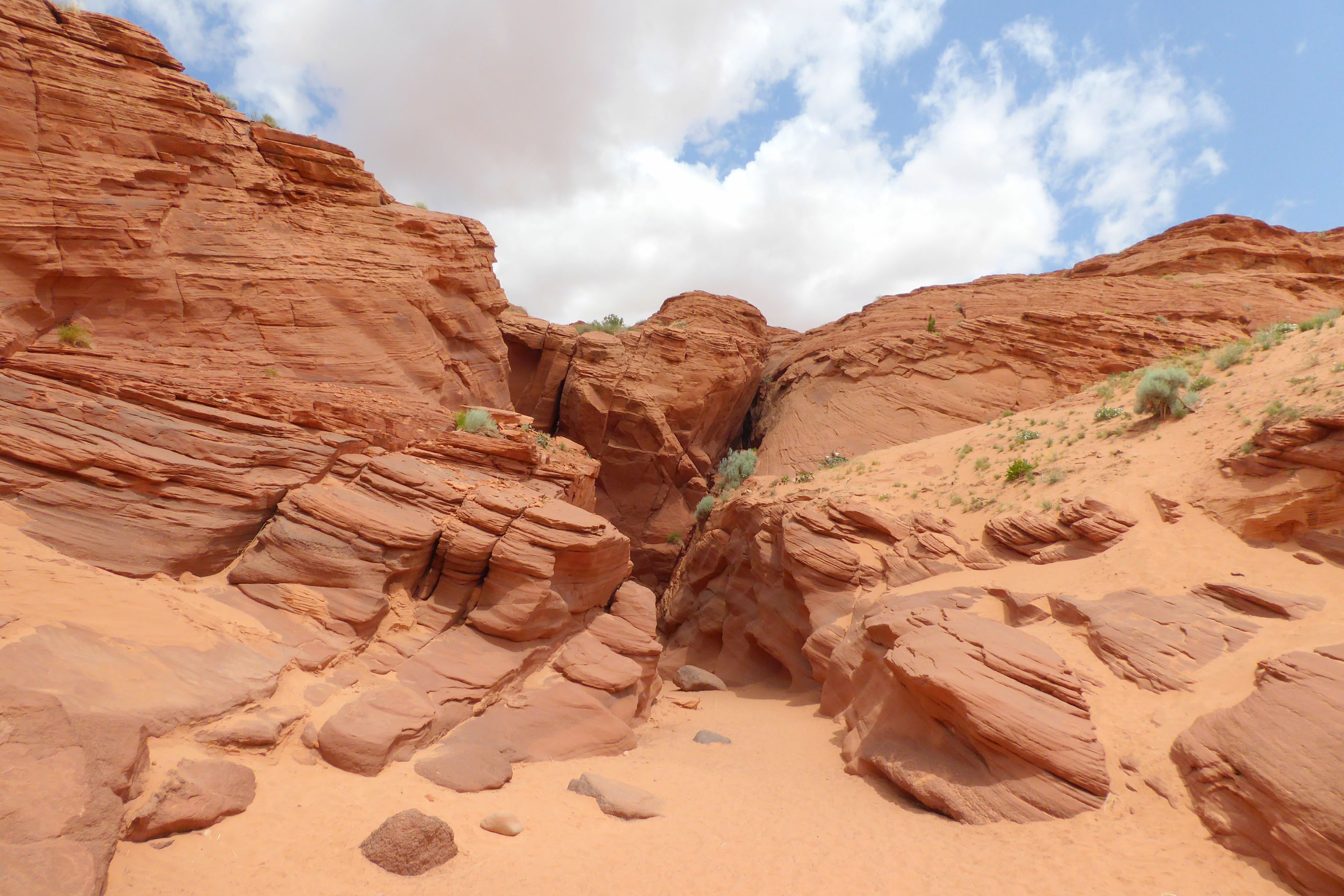
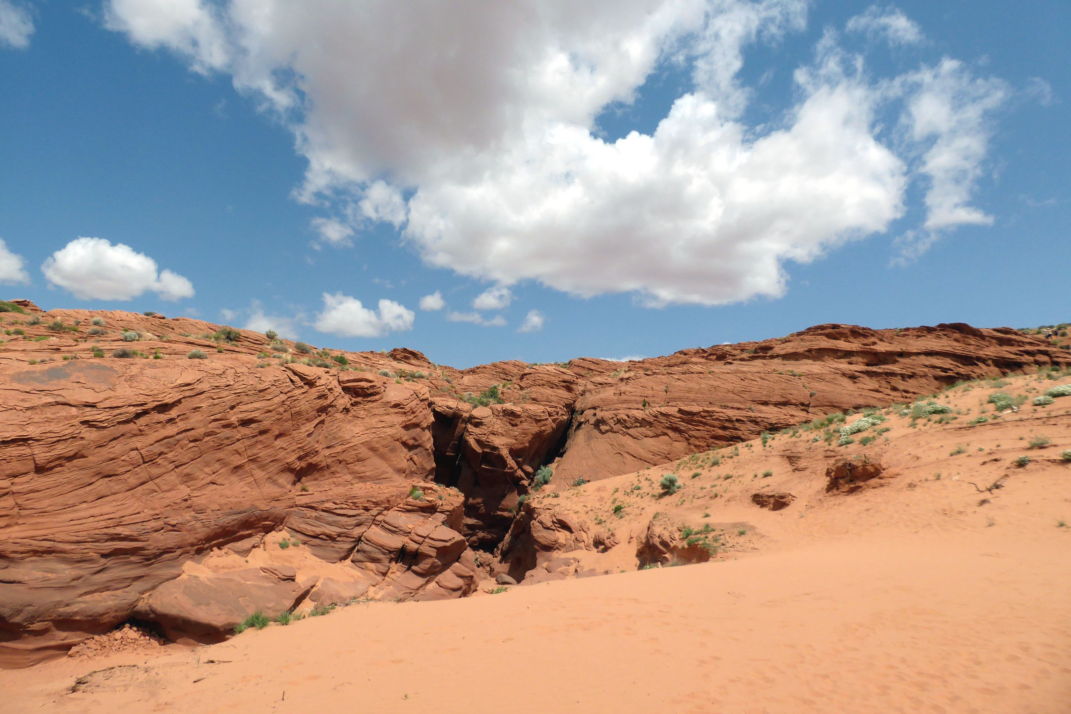
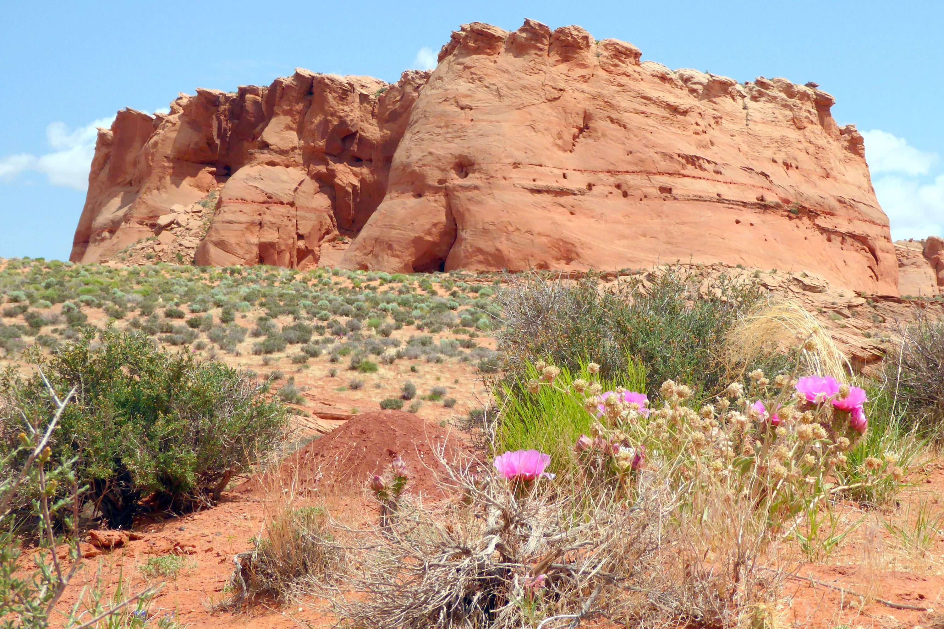
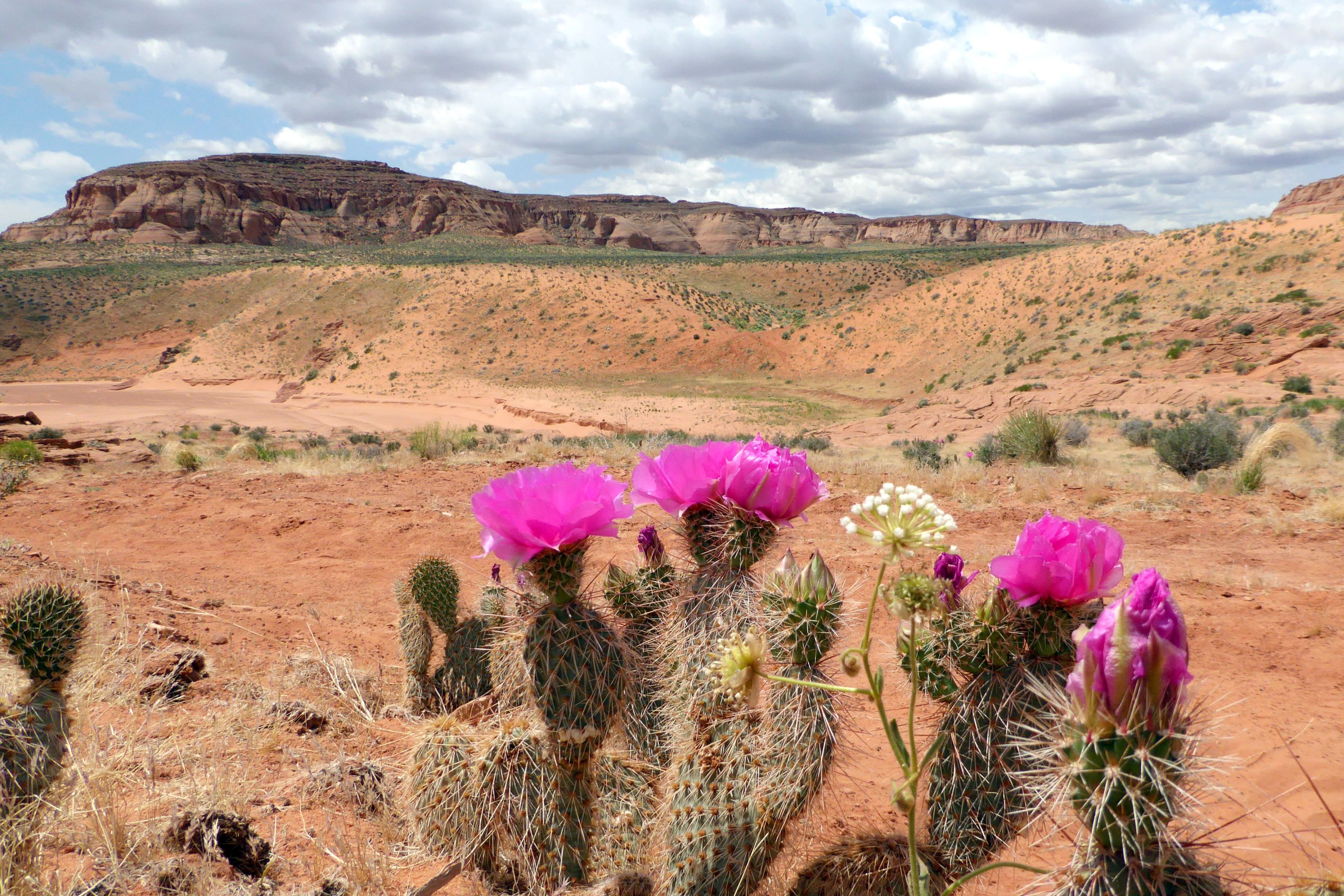
Contrary to how I titled this post (well, we were mostly in the Utah National Parks), we were actually still in Arizona, within the LeChee Chapter of the Navajo Nation, at Upper Antelope Canyon. The Navajo name for it is Tse’ bighanilini, which means “the place where water runs through rocks.”
The sandstone walls are breathtakingly beautiful, rising 120 feet above the sandy trail that runs 660 feet long. It is the most photographed slot canyon in the Southwest, and I added to that statistic during our last day of the tour, along with everybody else being led through the canyon by Navajo Nation tour guides.
Tourism to this slot canyon is tightly controlled and has been run by the Pearl Begay Family since 1983. In 1997, the Navajo Tribe made it a Navajo Tribal Park, and it has been an important source of income for them.
Photography is difficult in the canyon due to the wide exposure range made by light reflecting off the canyon walls. My compact travel camera was challenged by these light rays, but I managed to get some shots that will hopefully give you an idea of the beauty of this canyon.
(For all pictures, click on the image to see full screen view.)



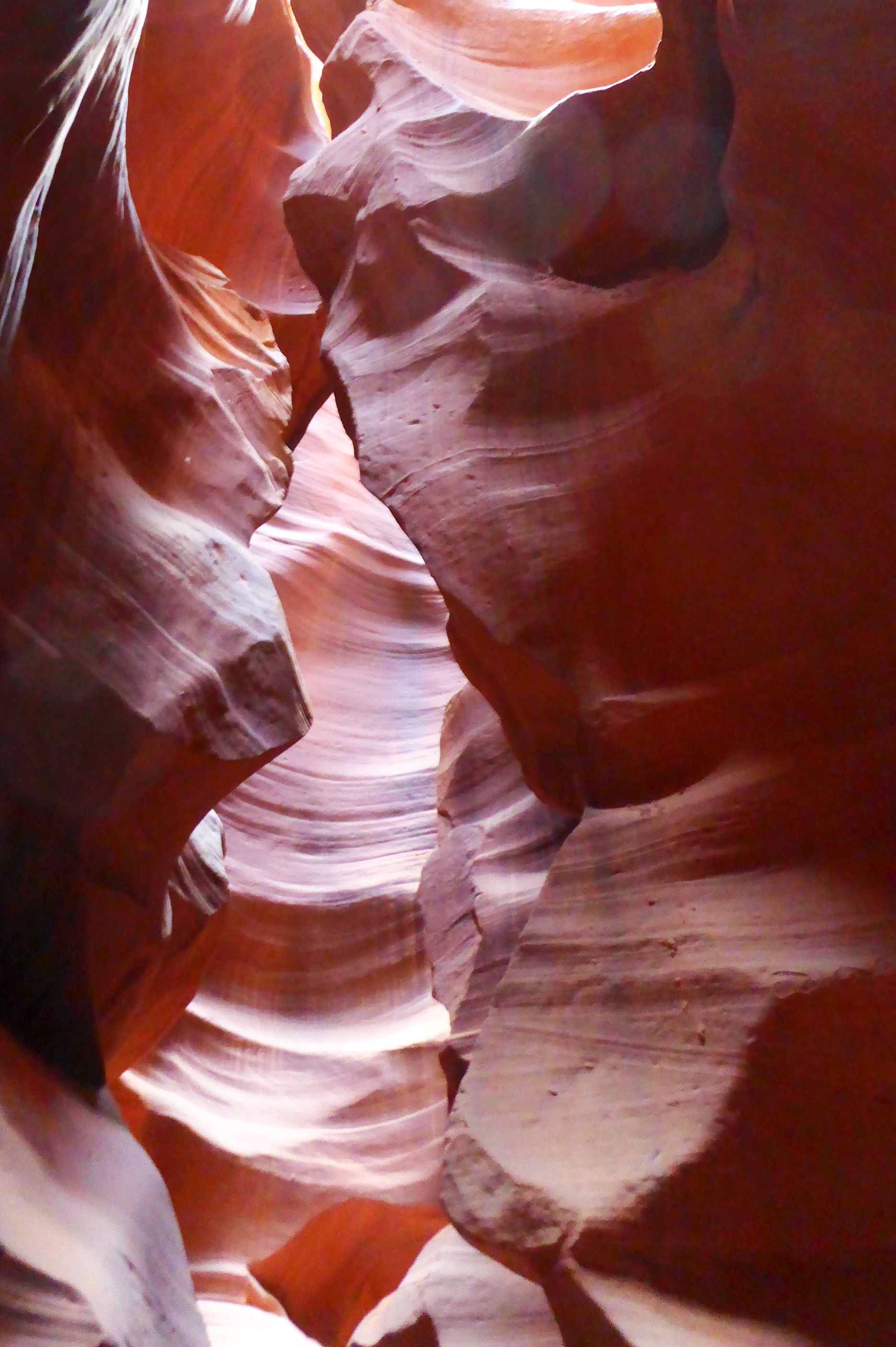
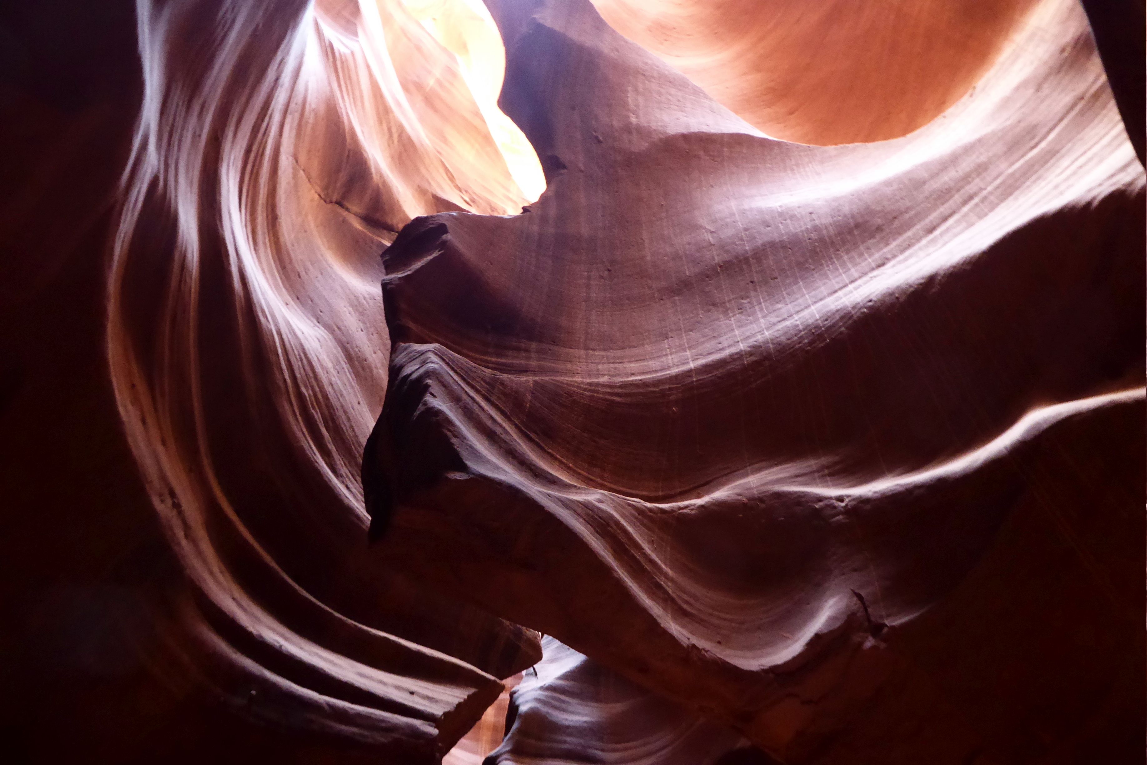
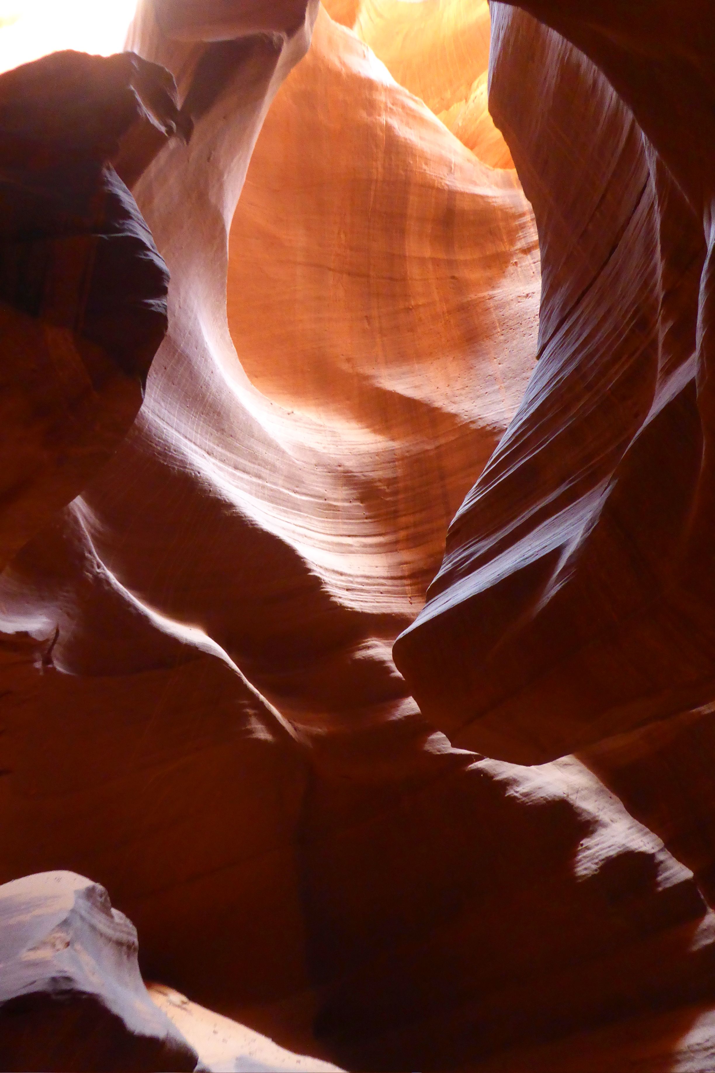
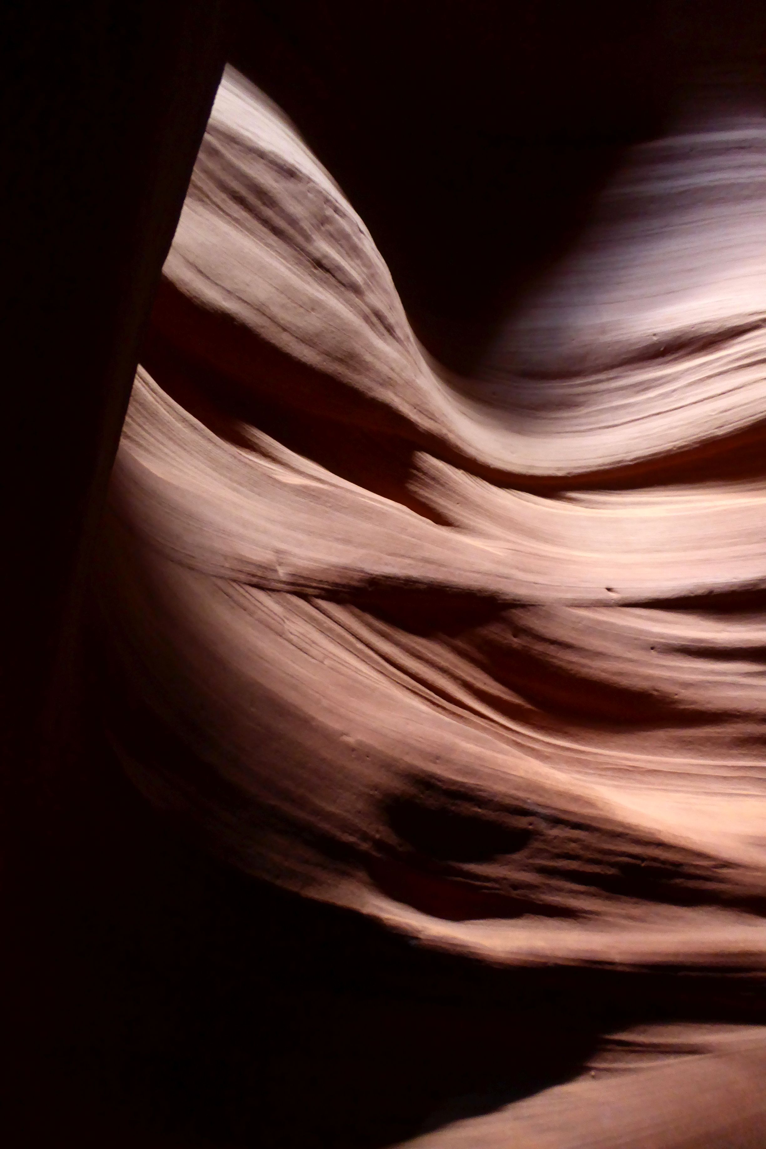



Following our hike back out of the canyon, we returned to St. George, Utah, for our final night, which included a farewell dinner with the group. In all, we had traveled 1,272 miles during our Grand Circle trip.
Coming up later this summer: Iceland & Scotland
Thankfully, it was cool in more ways than one. I was grateful to Bruce for reminding me to add my cooling scarf to the packing list for this trip, because it saved me from what could have been a heat intolerance disaster.
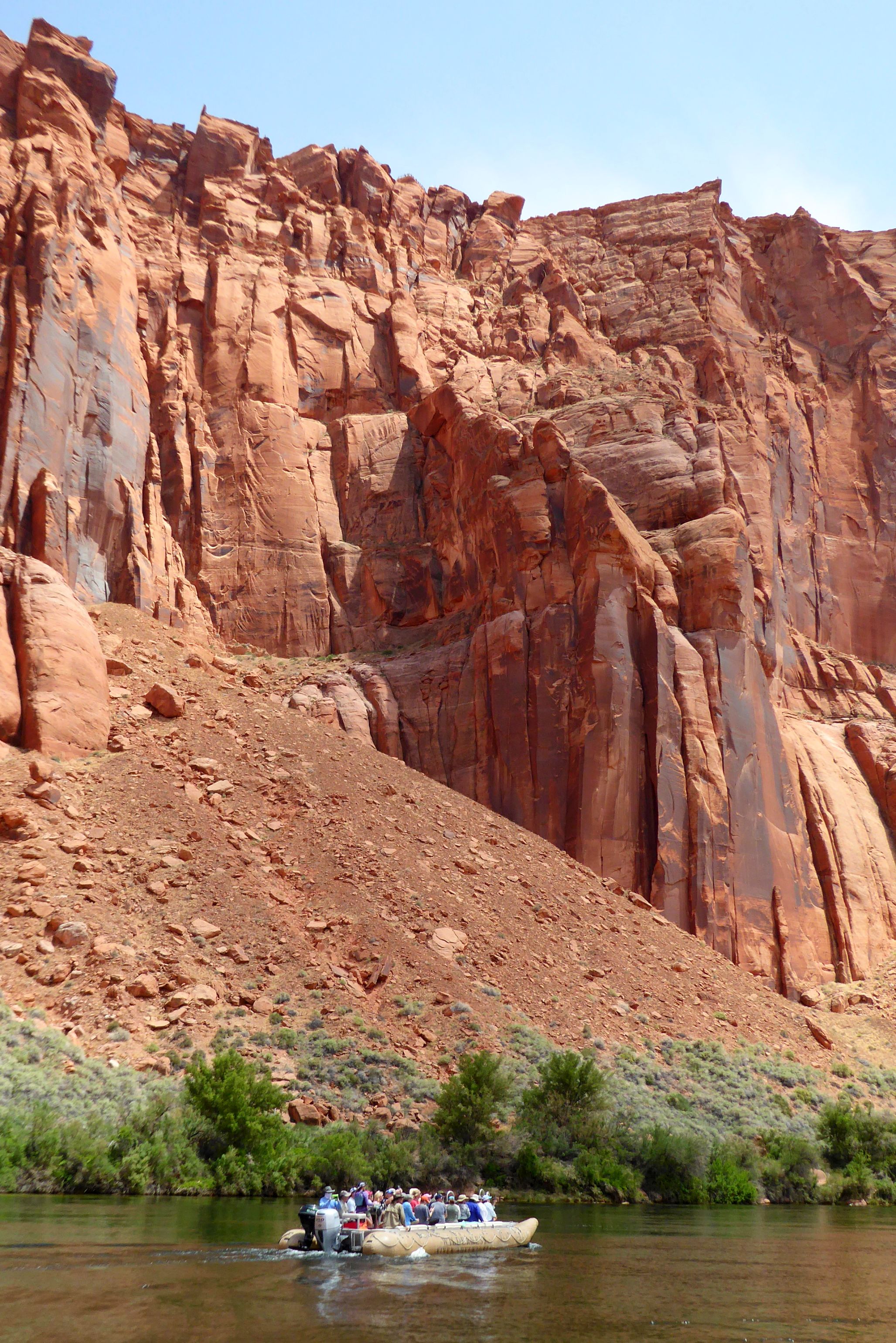
Our tour leader had warned us about sitting in the front of the pontoon raft, because of the spray coming off the water and the possibility of getting wet. I gladly volunteered. I figured not only would the spray keep me cool; but, I would also have the best vantage point for photography. I had my waterproof camera, just in case, but it stayed in my pack. I used my usual Panasonic Lumix travel camera and had no problem keeping it spray-free.

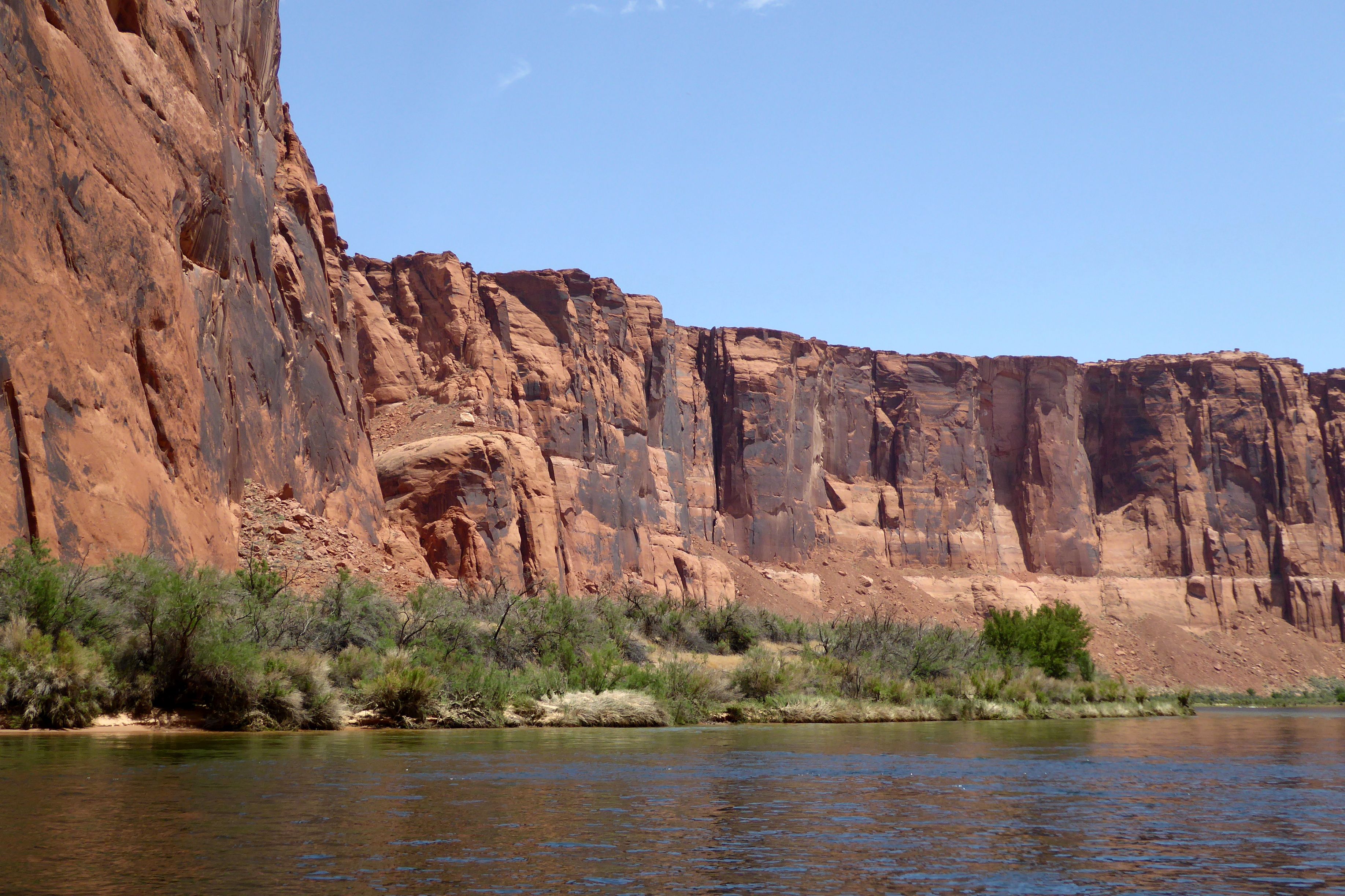
While the air temperature on this hot, sunny day hovered around 90 degrees, the water temperature was refreshingly cold—perfect for dipping my scarf in to keep my neck and head cooled off. Our sunscreen did a great job, too; I didn’t get a square-inch of pink skin during our three-hour, 15-mile raft float down the Colorado River.
We were actually in Arizona; we had arrived in Page the night before. Located near our hotel, we had boarded the tour company’s bus for a ride to the boat launch through a two-mile long Glenn Canyon Dam access tunnel. We then boarded a motorized pontoon raft.
Soaring 700 feet above us was the dam and the Glenn Canyon Dam Bridge that we had just driven across. It was quite a sight being dwarfed by such gigantic structures!
(For all pictures, click on the image to see full screen view.)

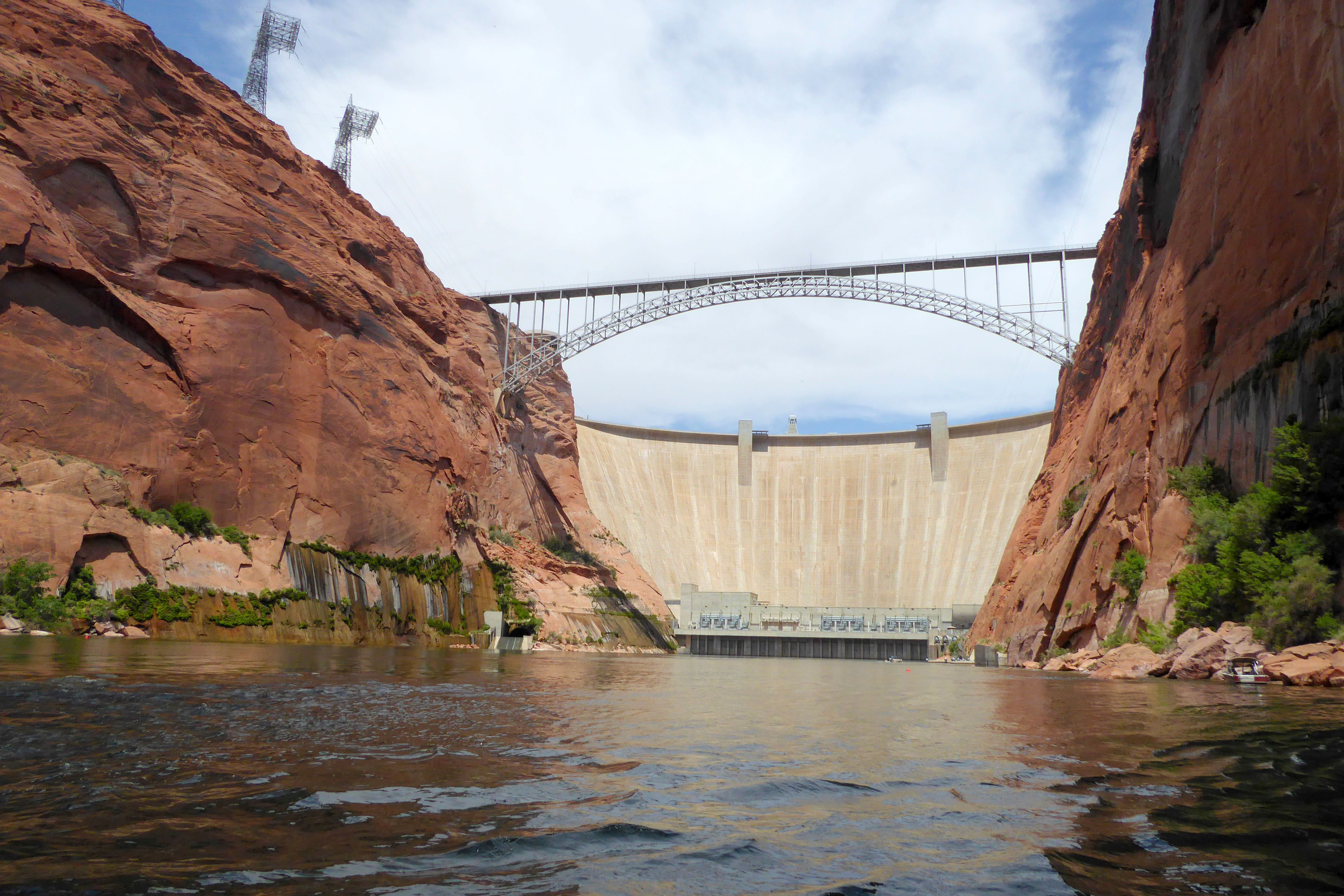
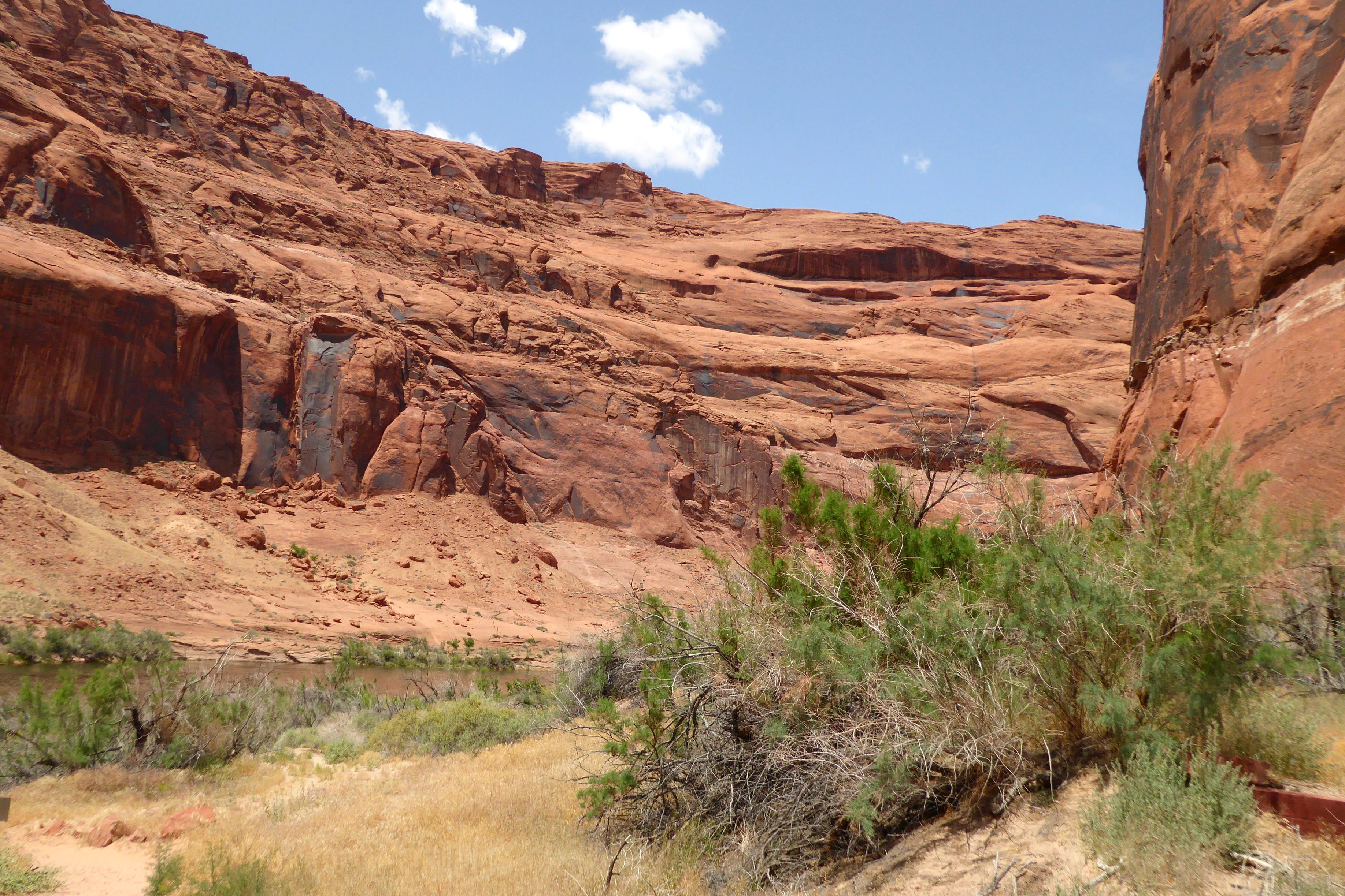
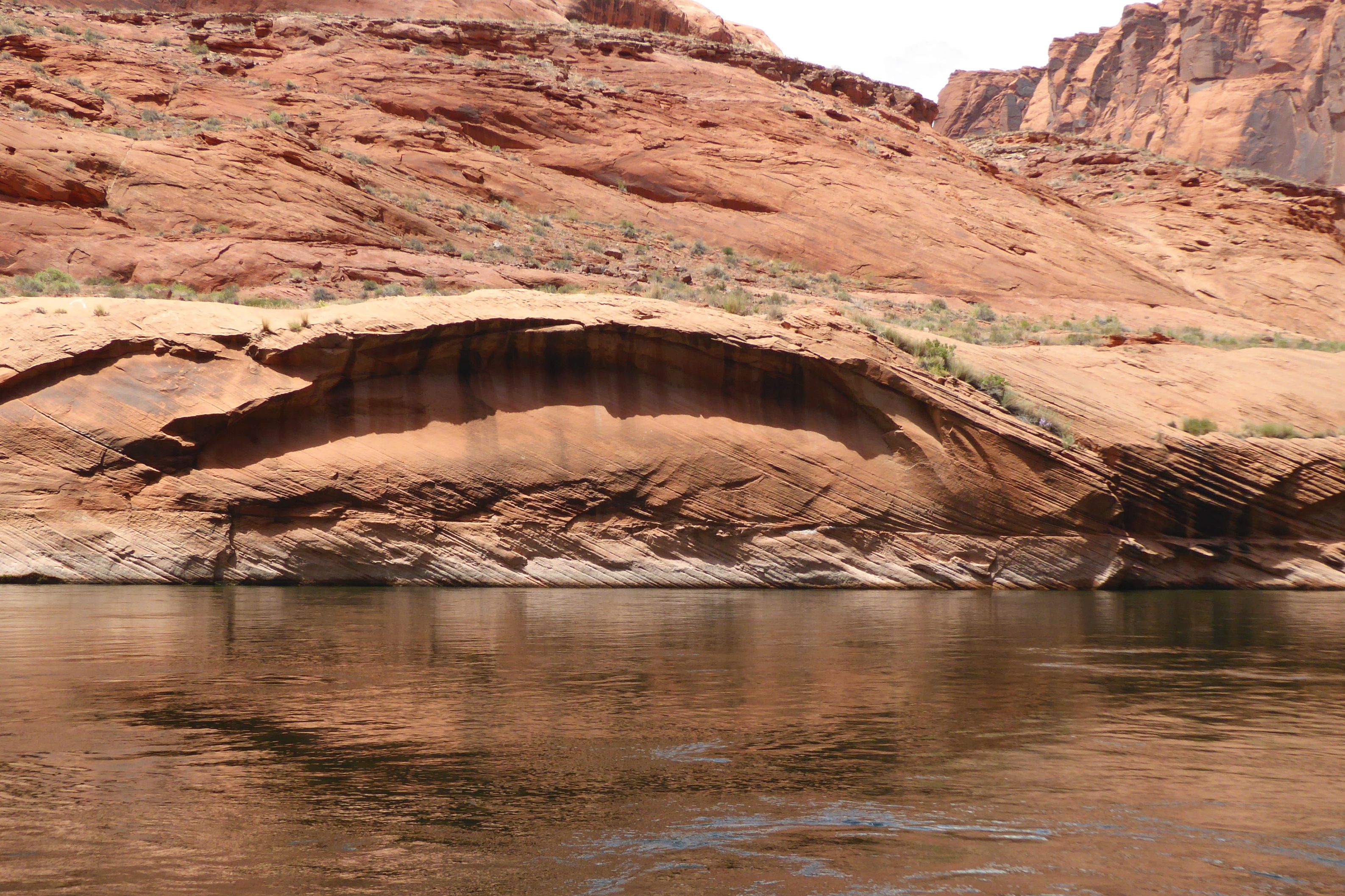
We were off to explore the Horseshoe Bend portion of the river, reputed to be one of the most dramatic stretches of river found in the western United States. Our river guide told us about Major John Wesley Powell’s exploration of the river. We also learned about the sandstone cliffs, former habitation by native cultures, wildlife; and, about the Southwest’s water and power delivery system.
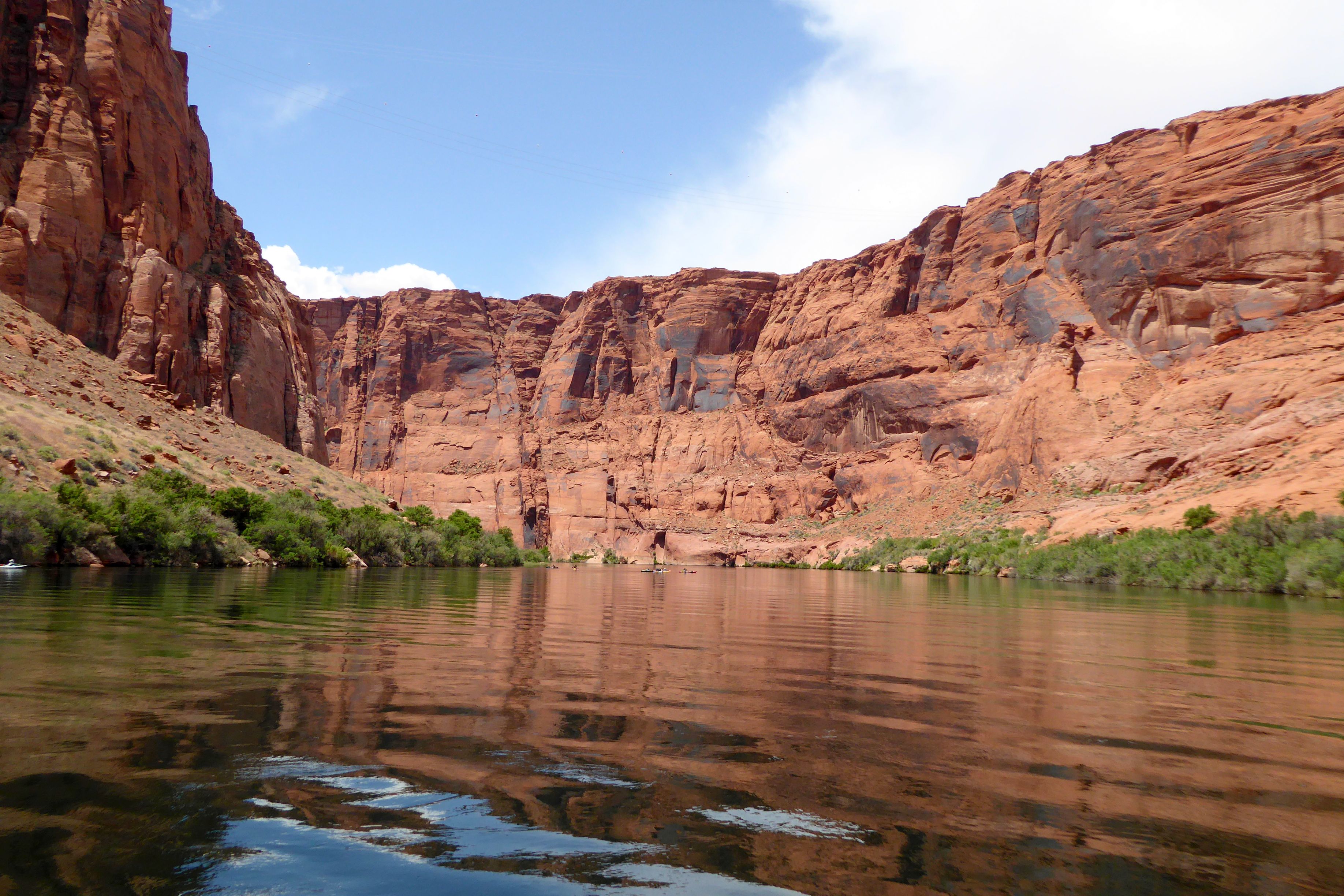
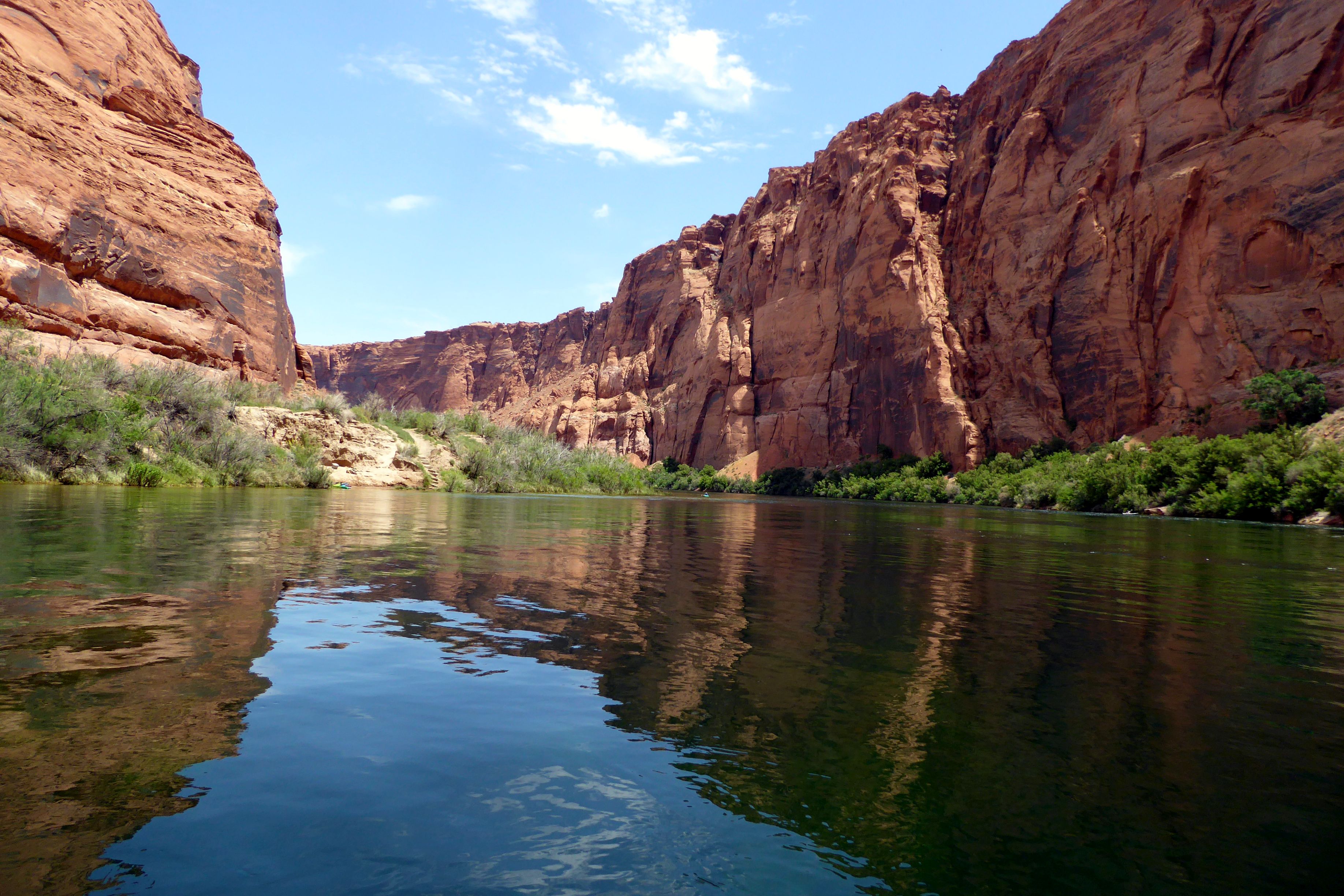
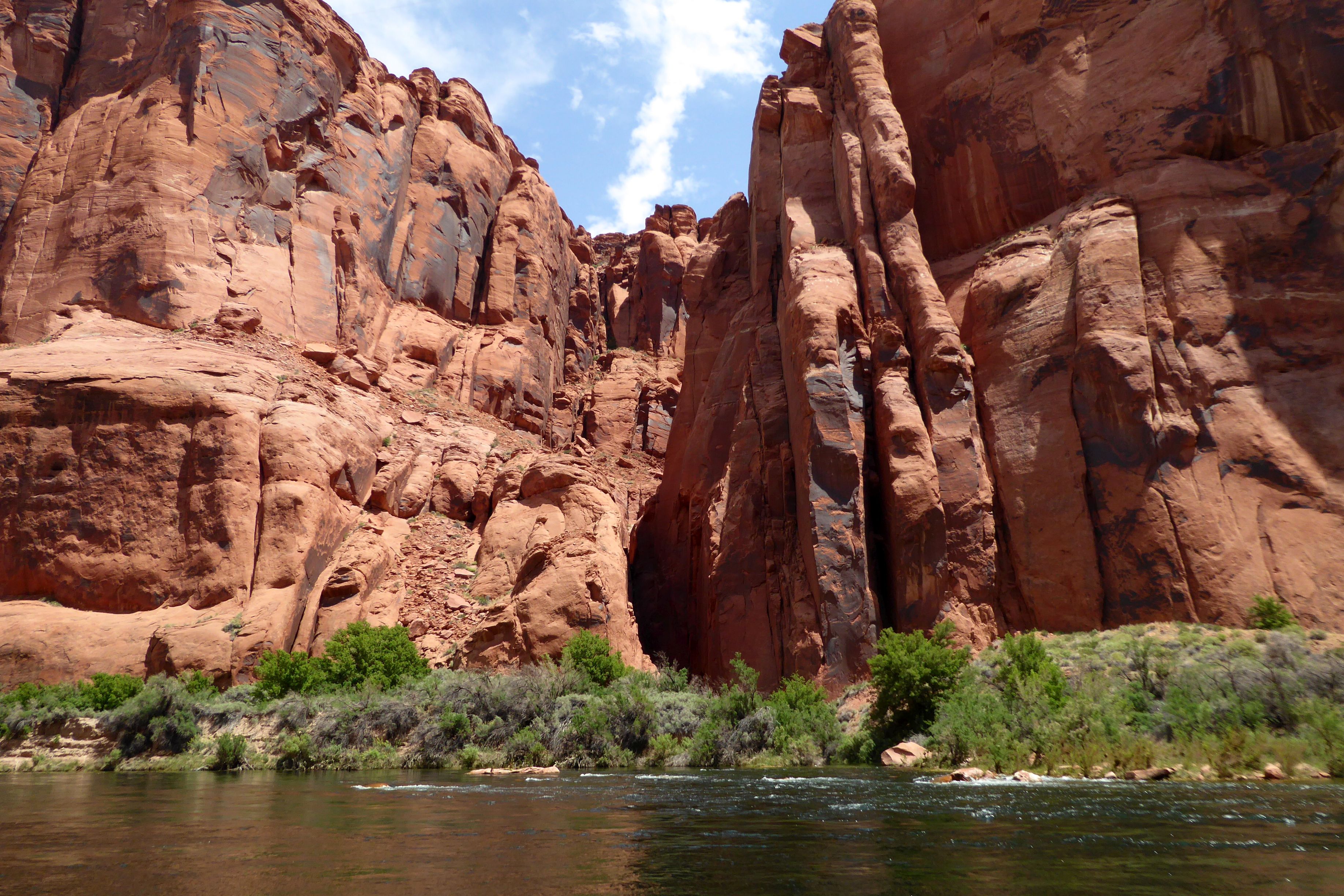
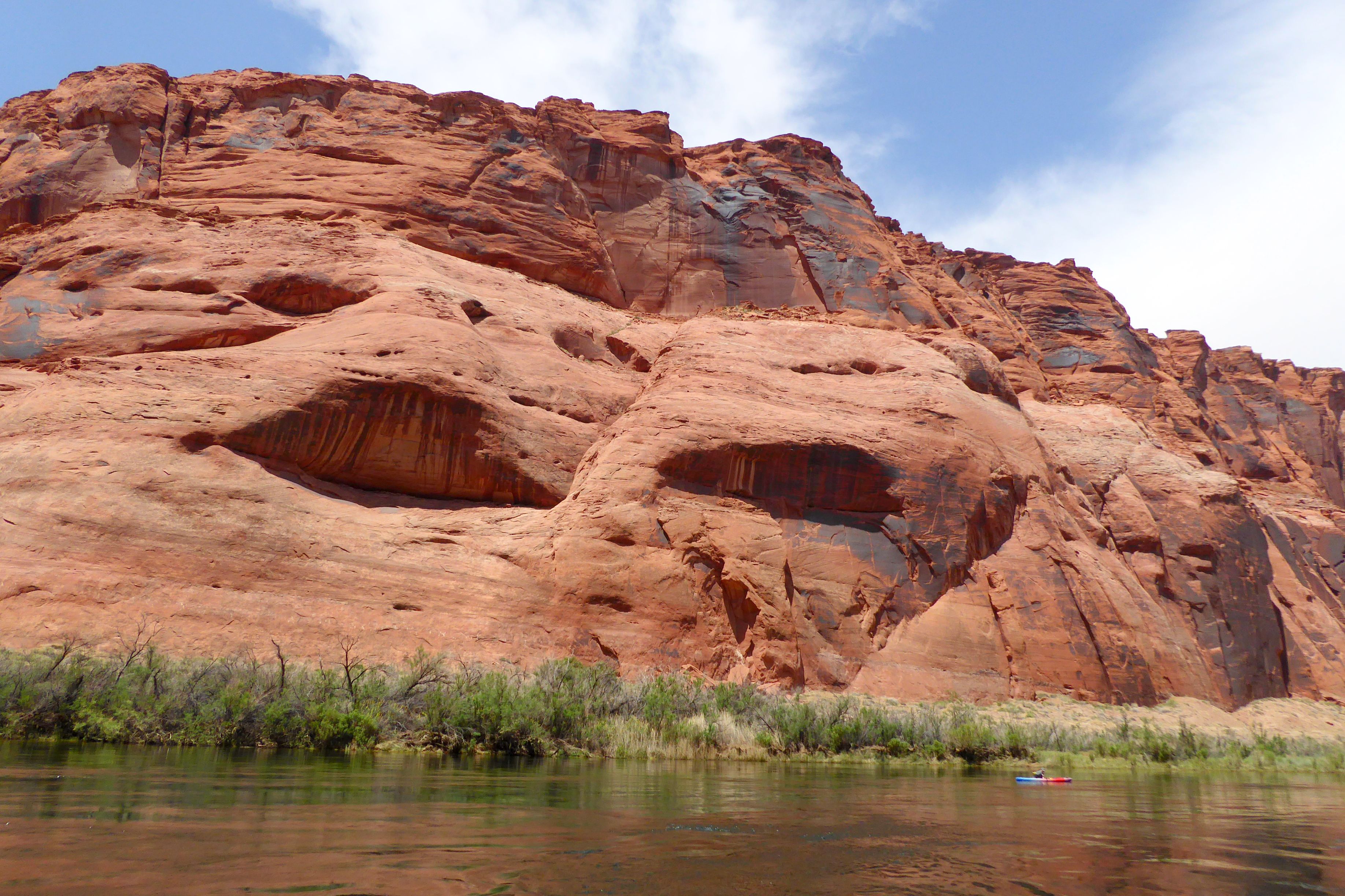
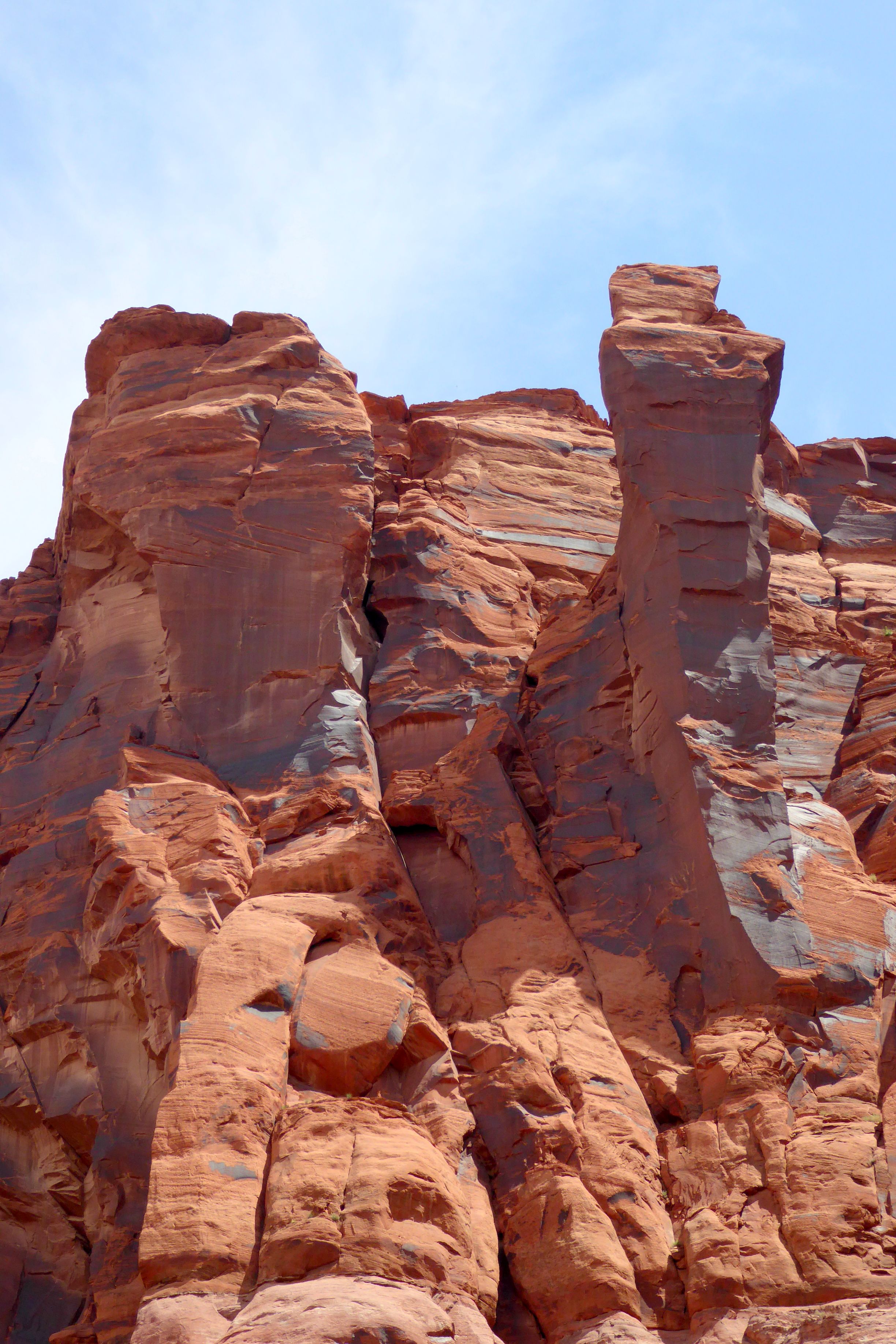
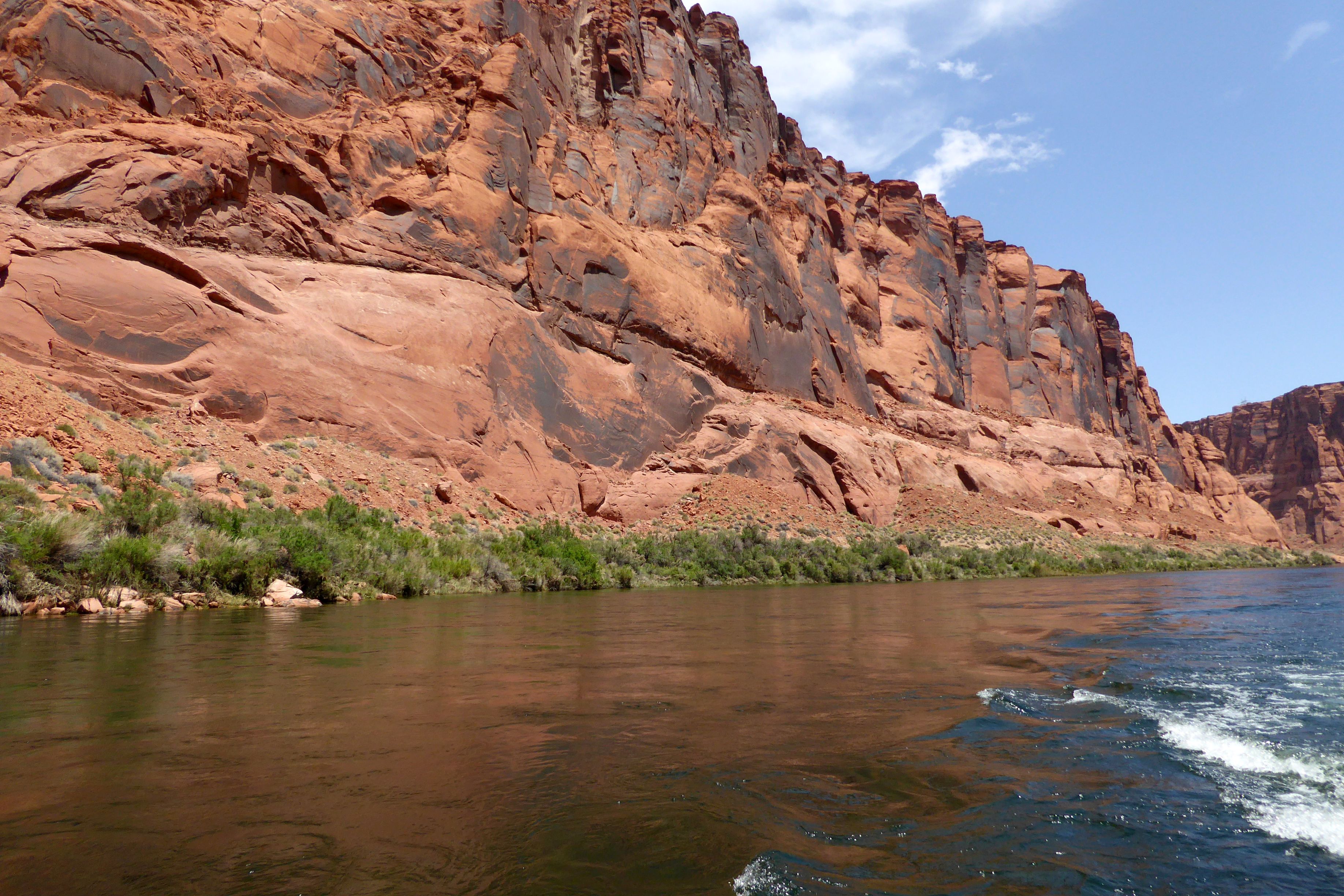
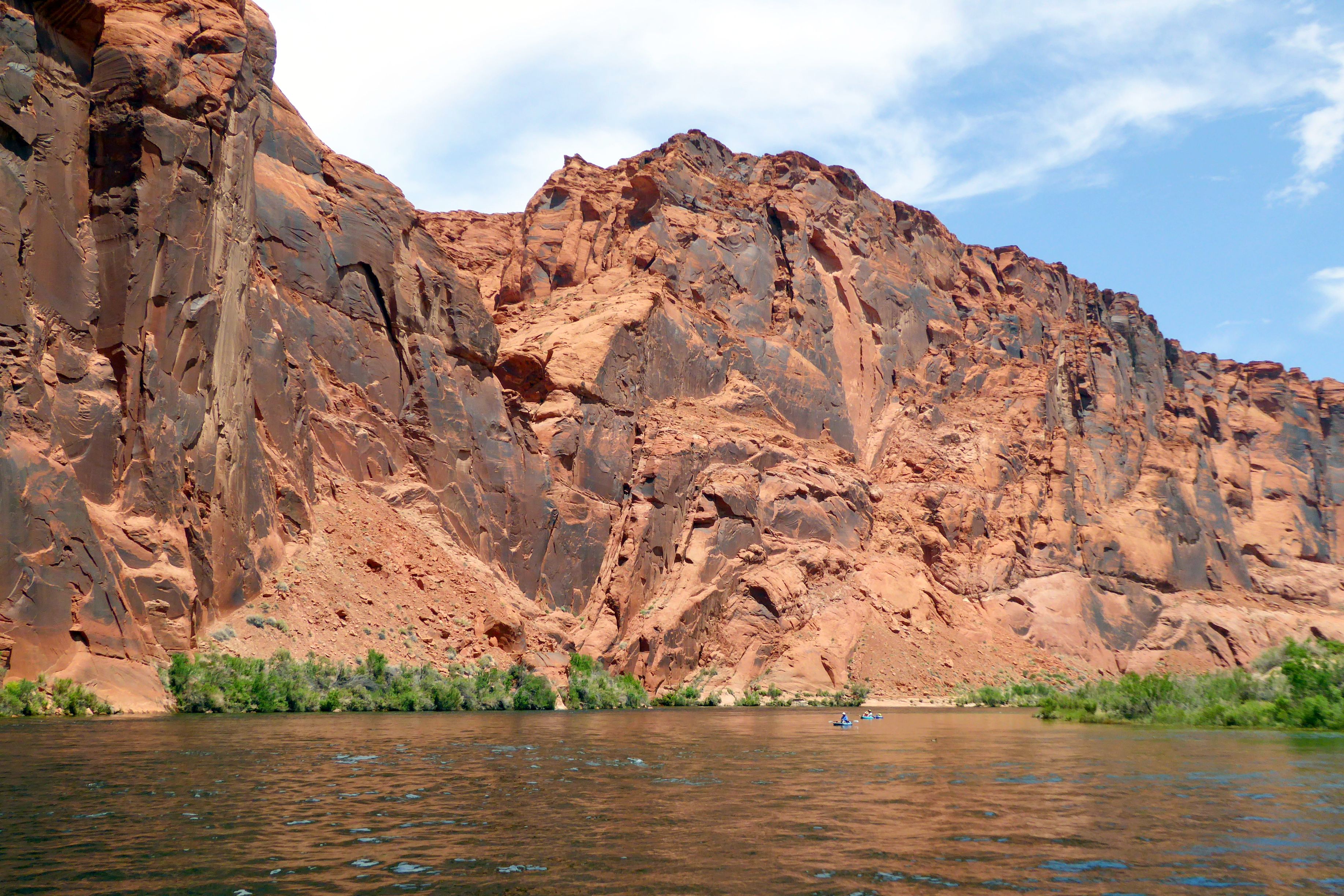
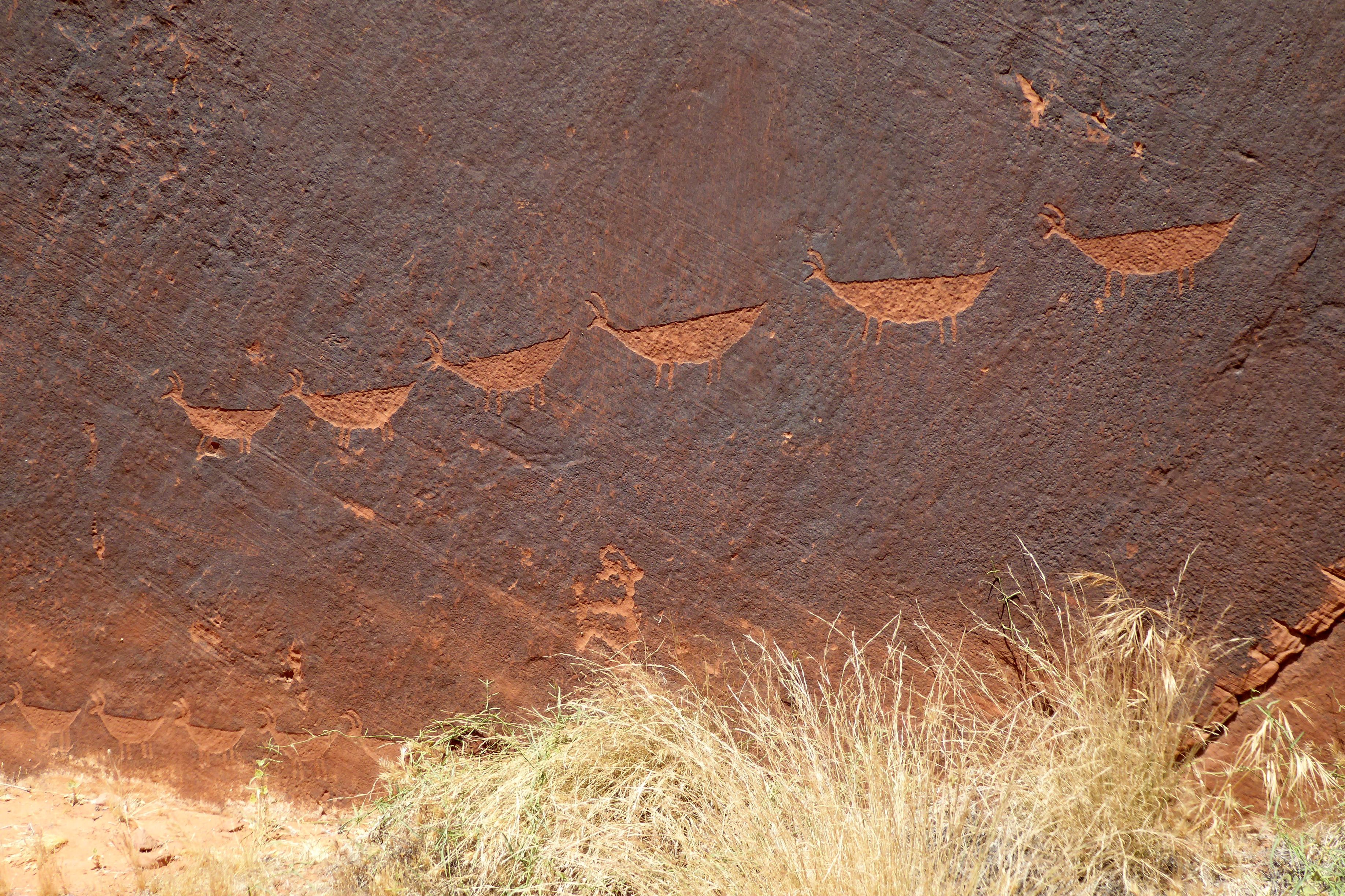
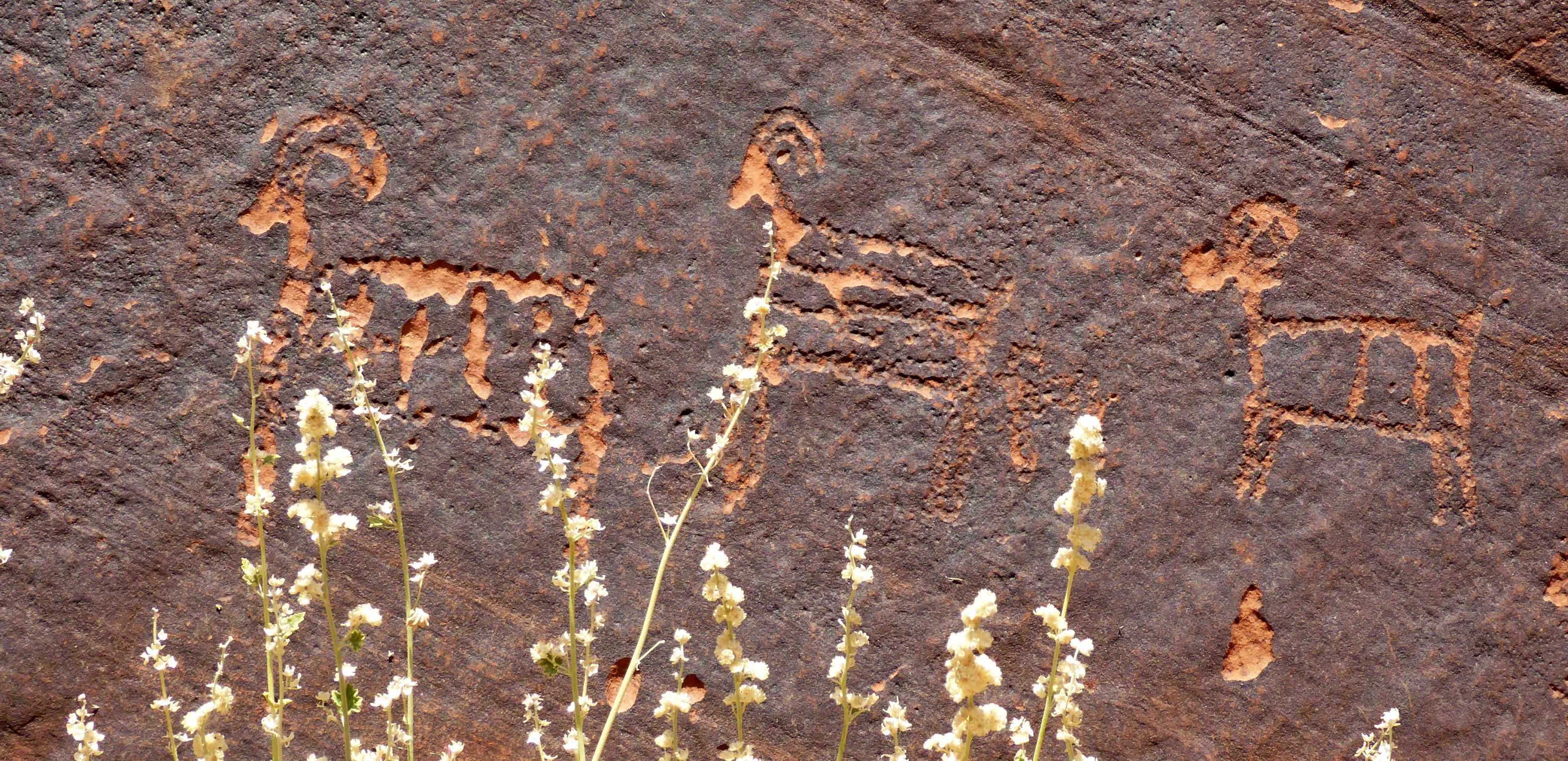
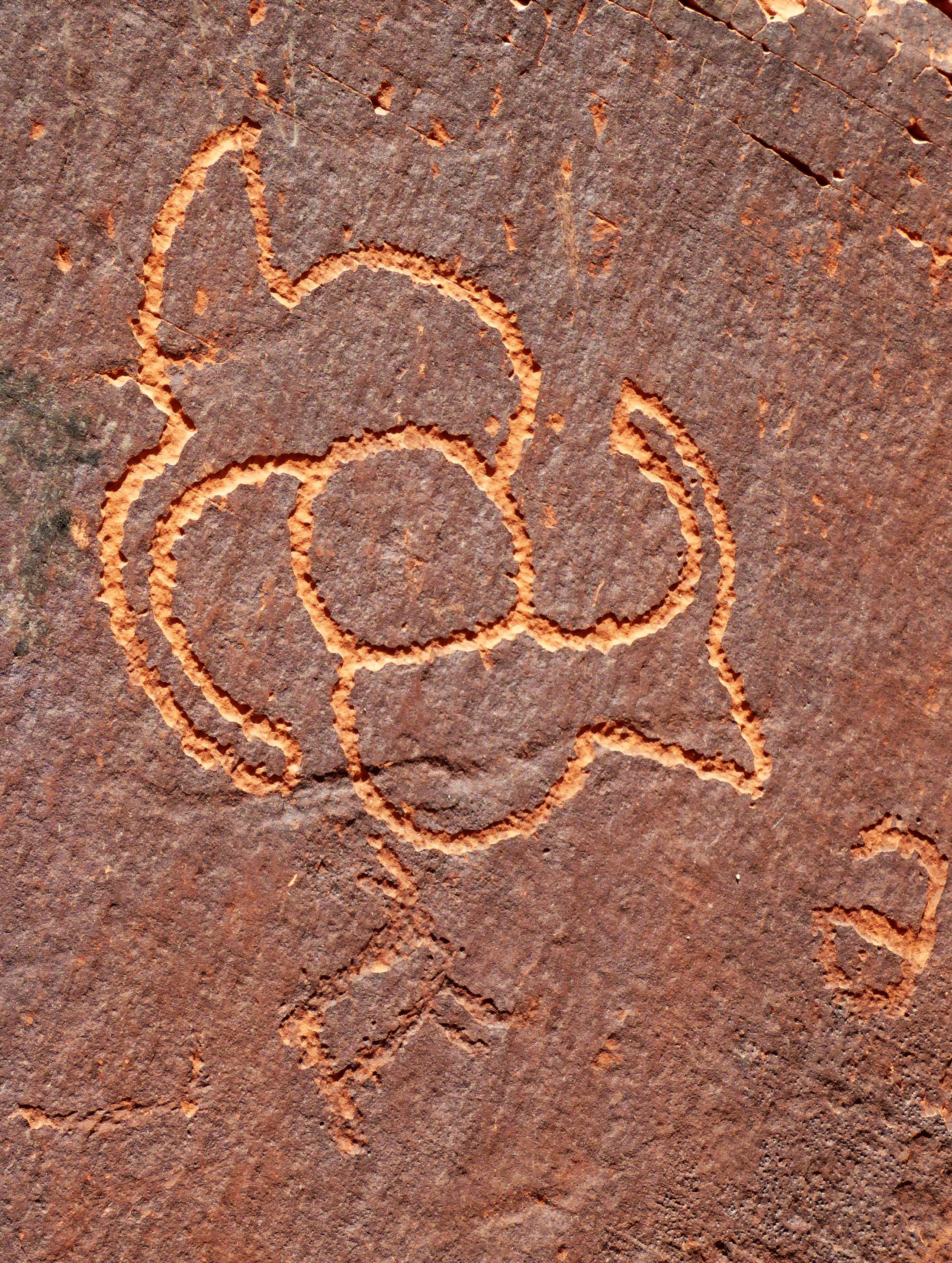
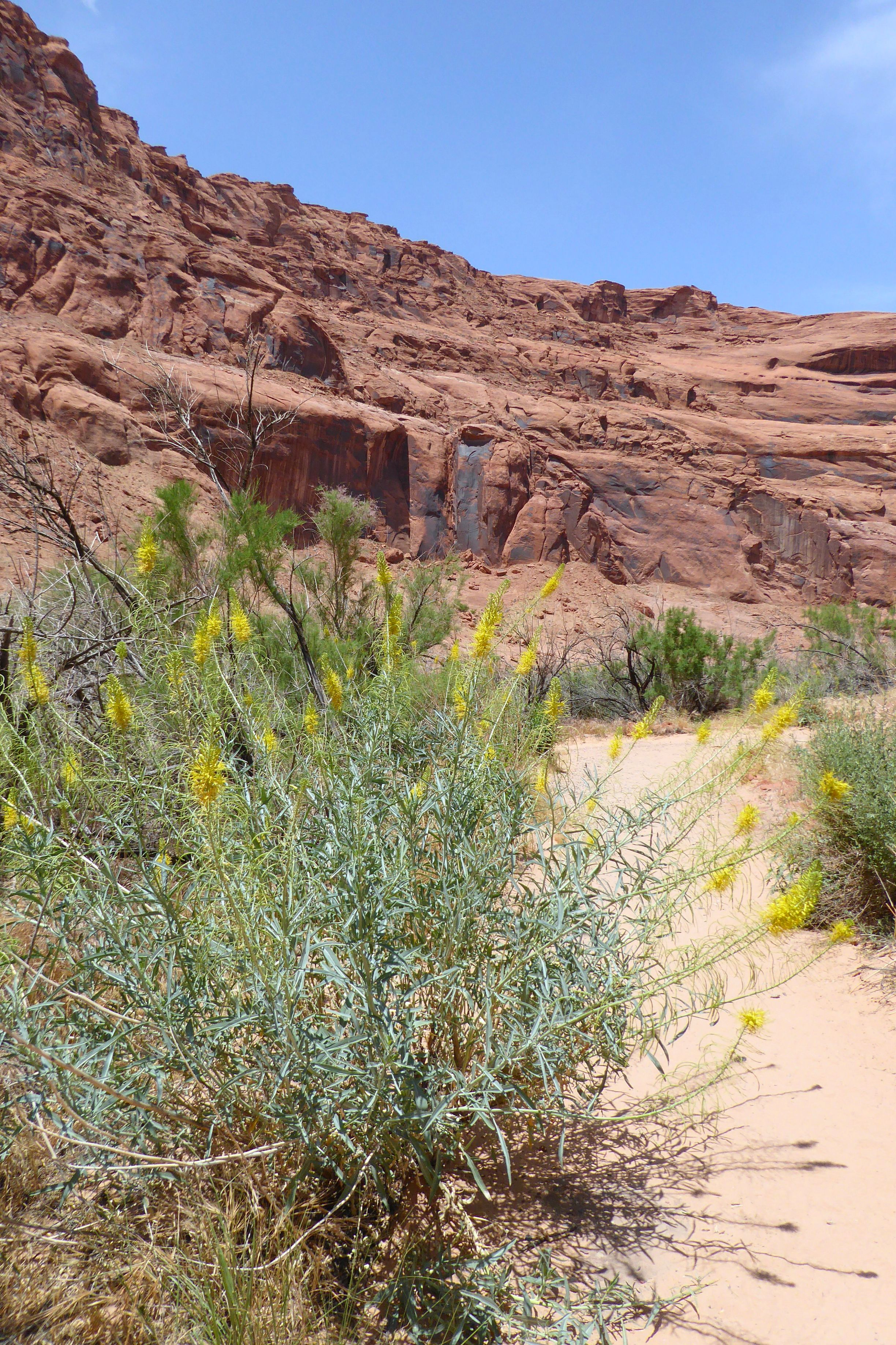
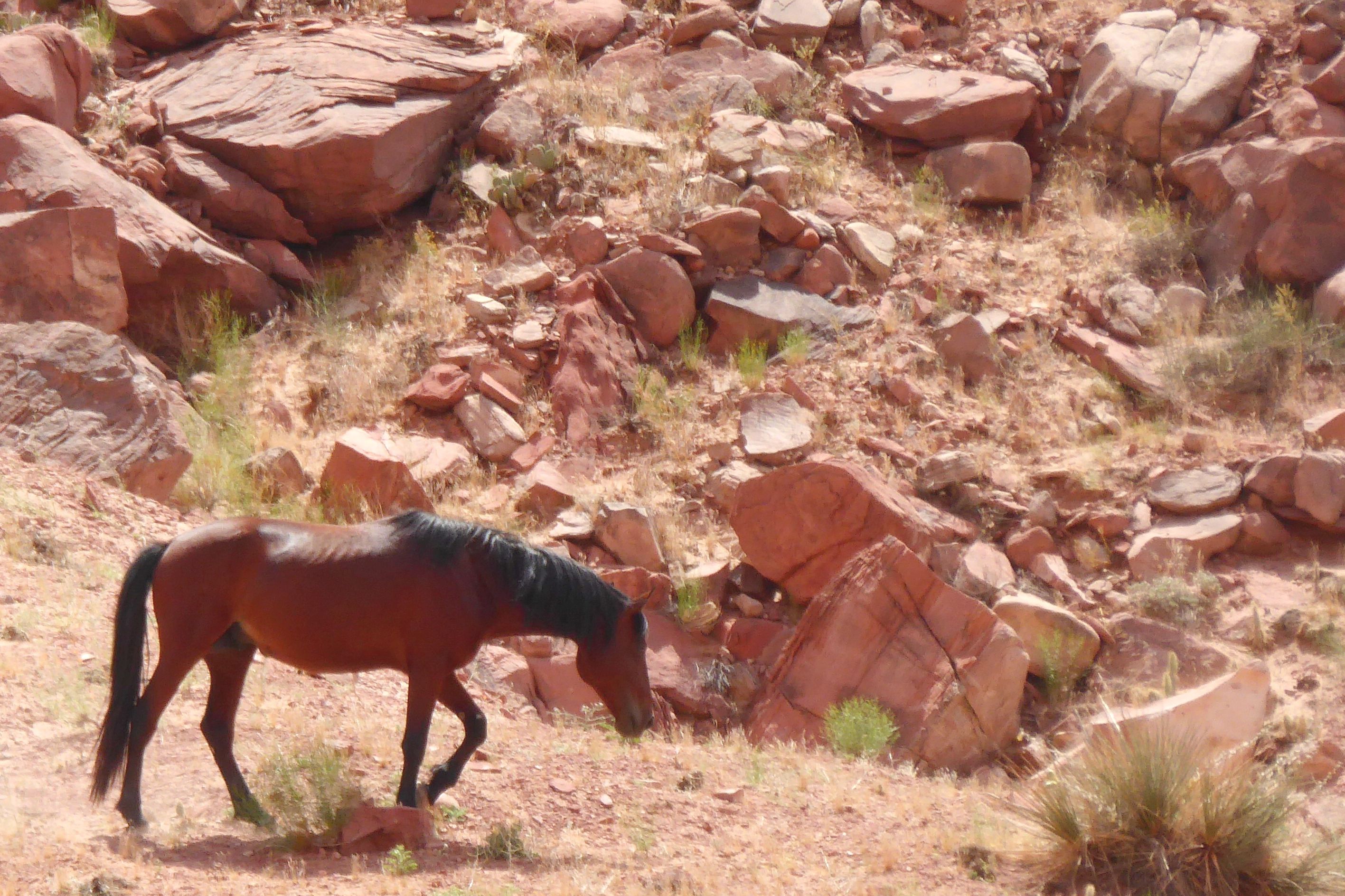
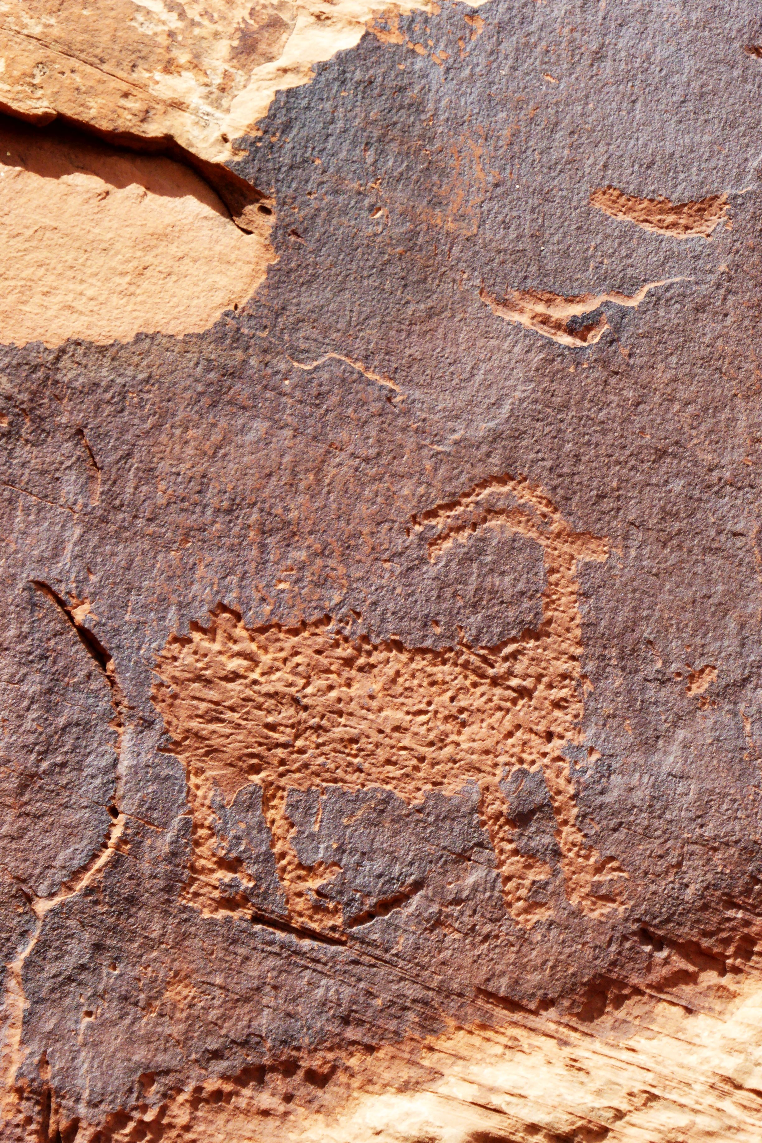
Halfway through our enjoyable journey, we beached the raft for a “comfort stop” and to take a short hike to see these petroglyphs:

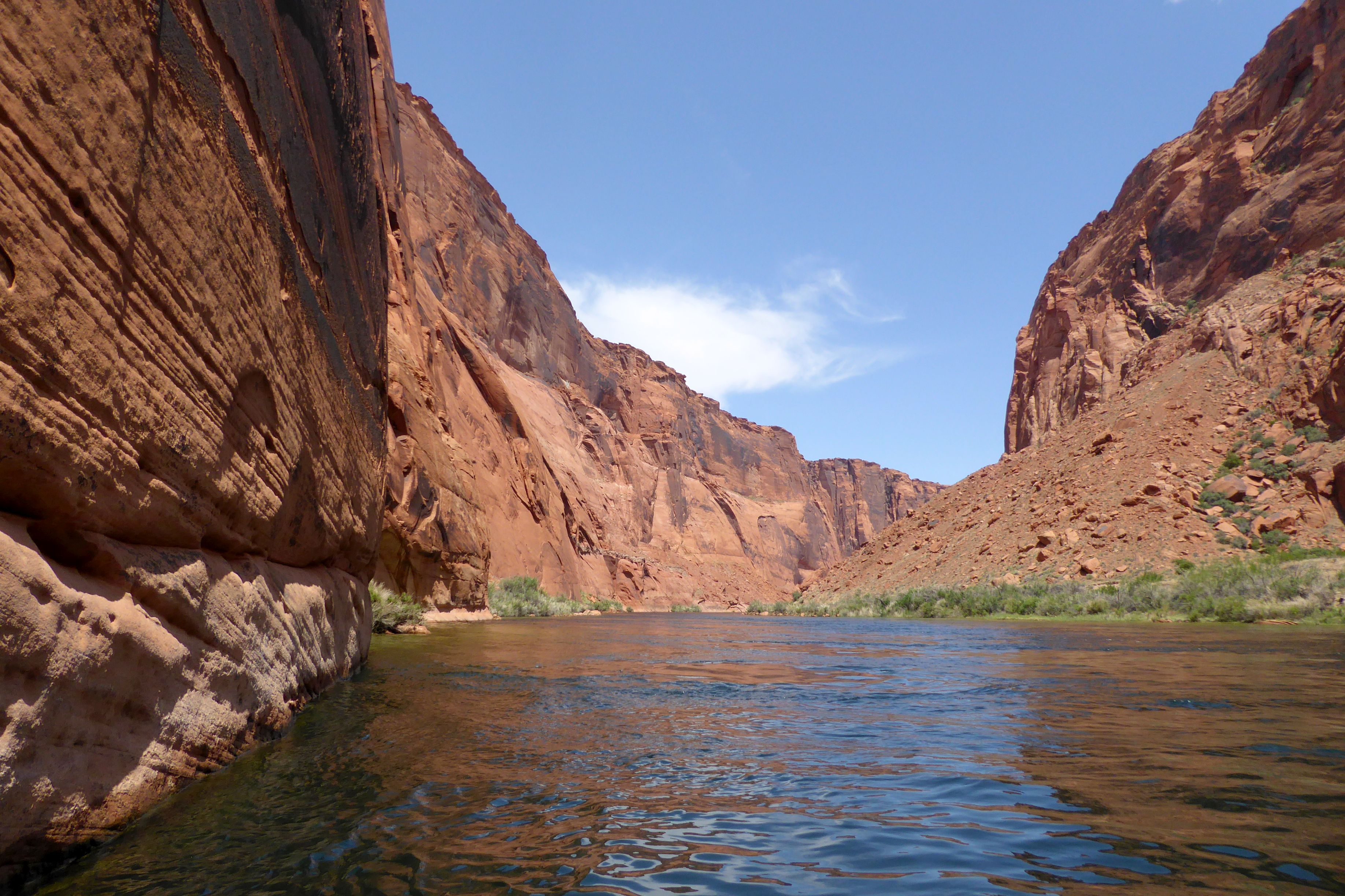
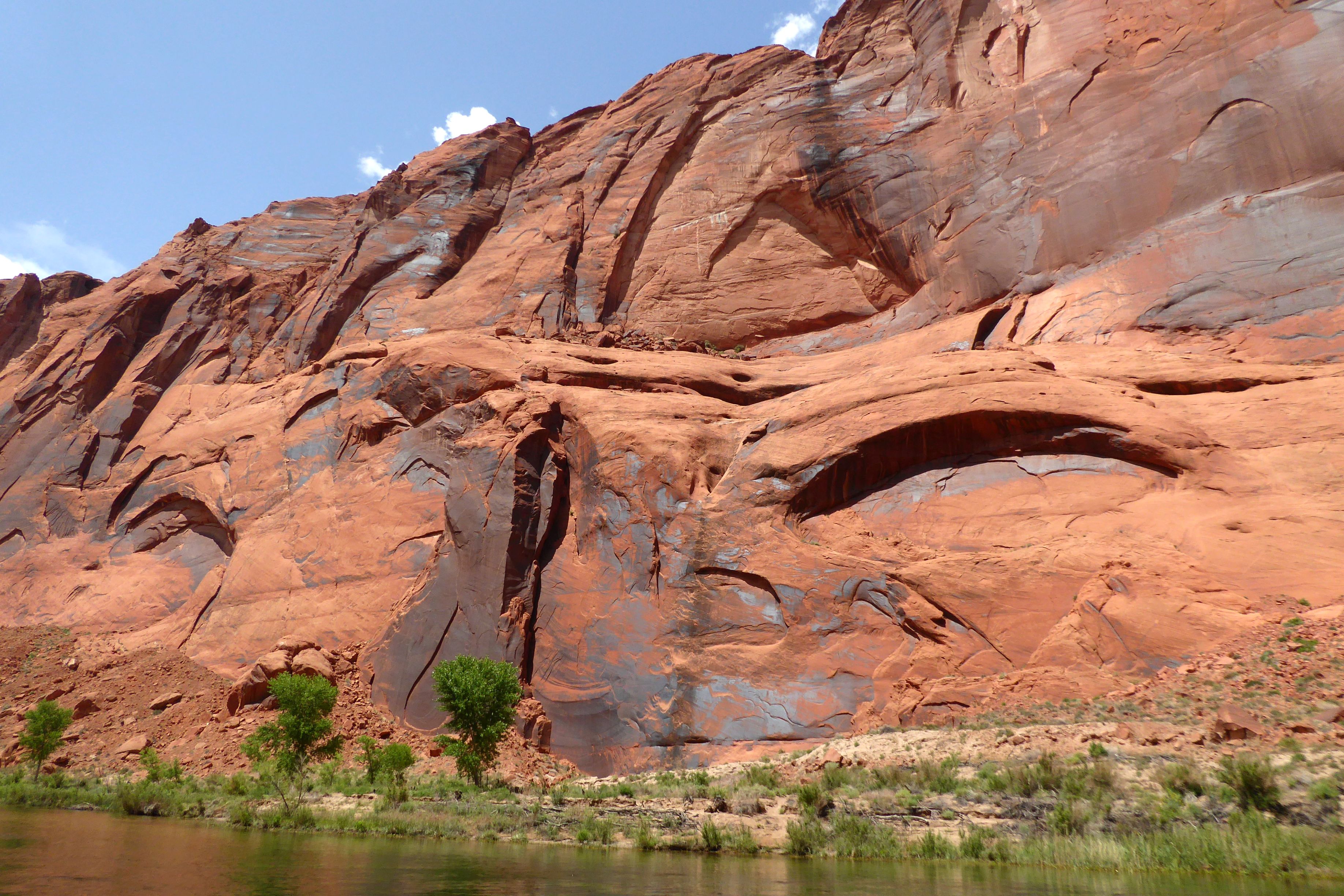
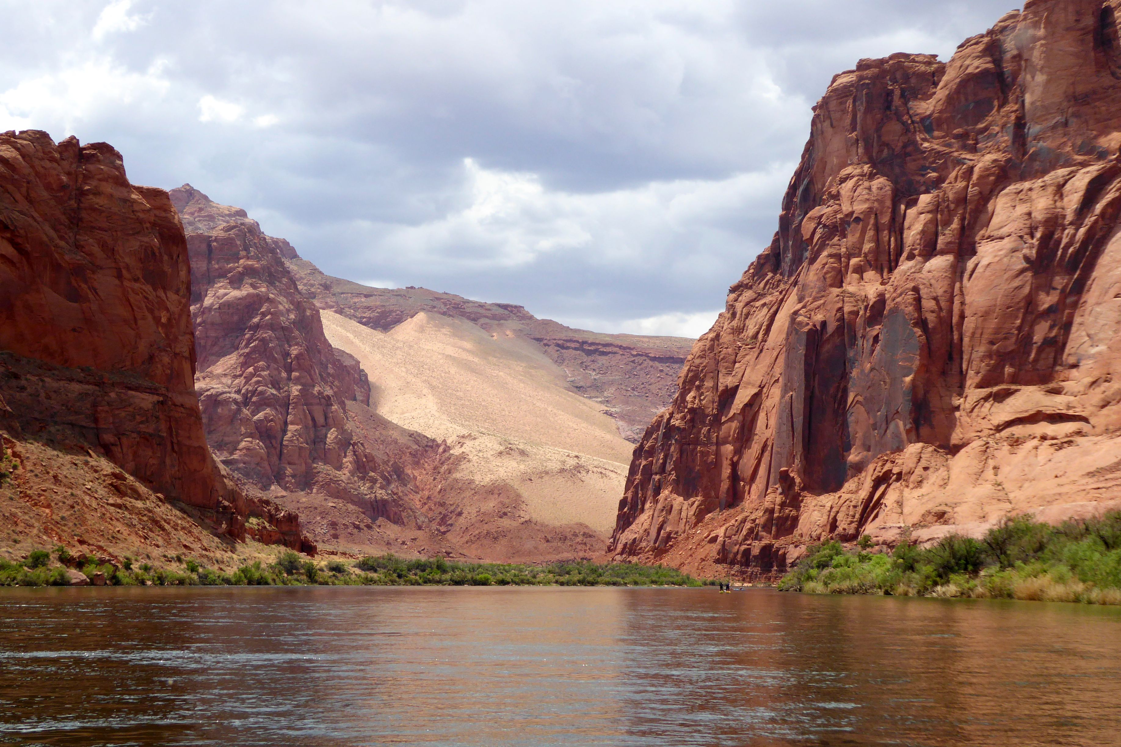
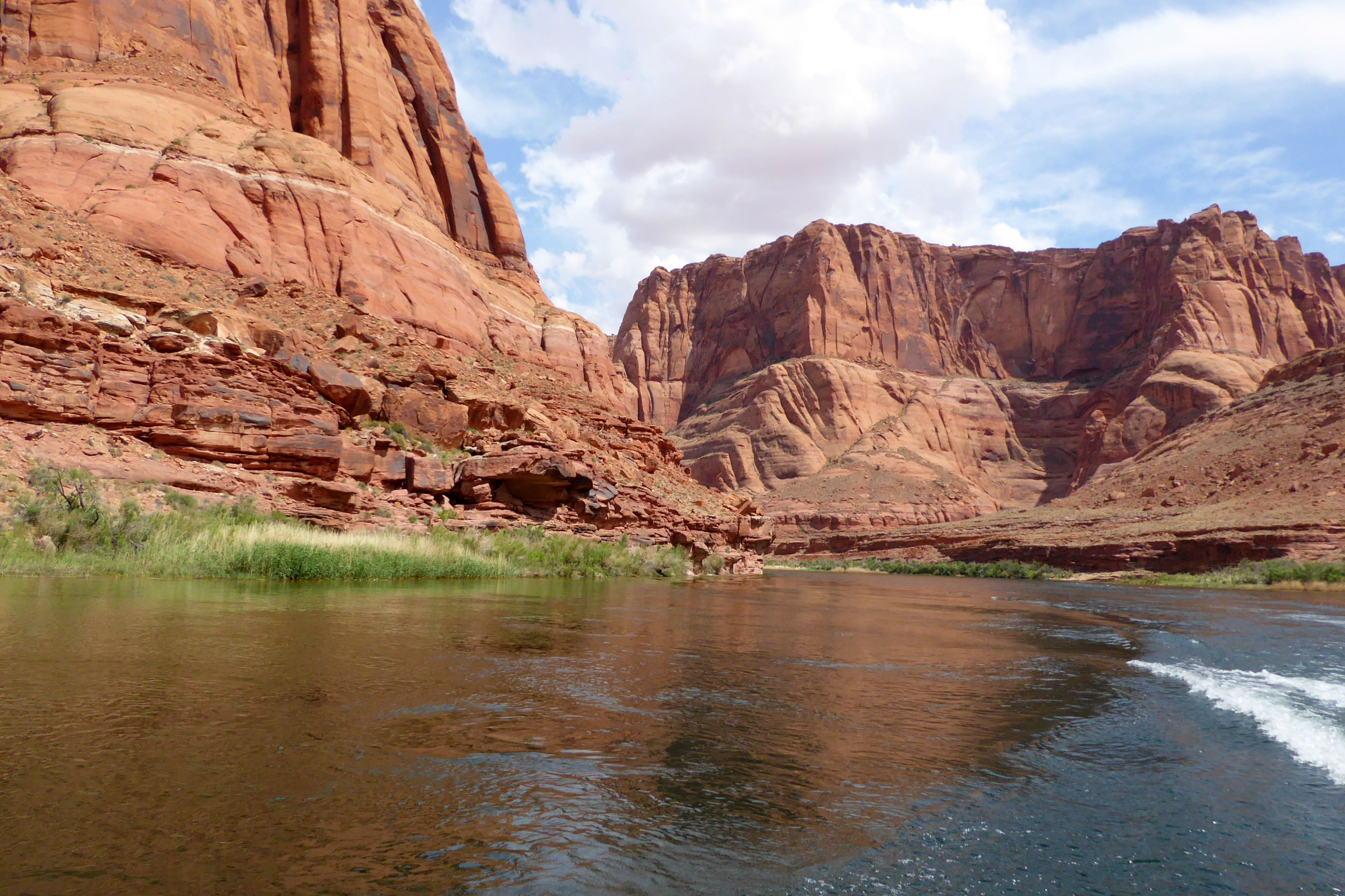
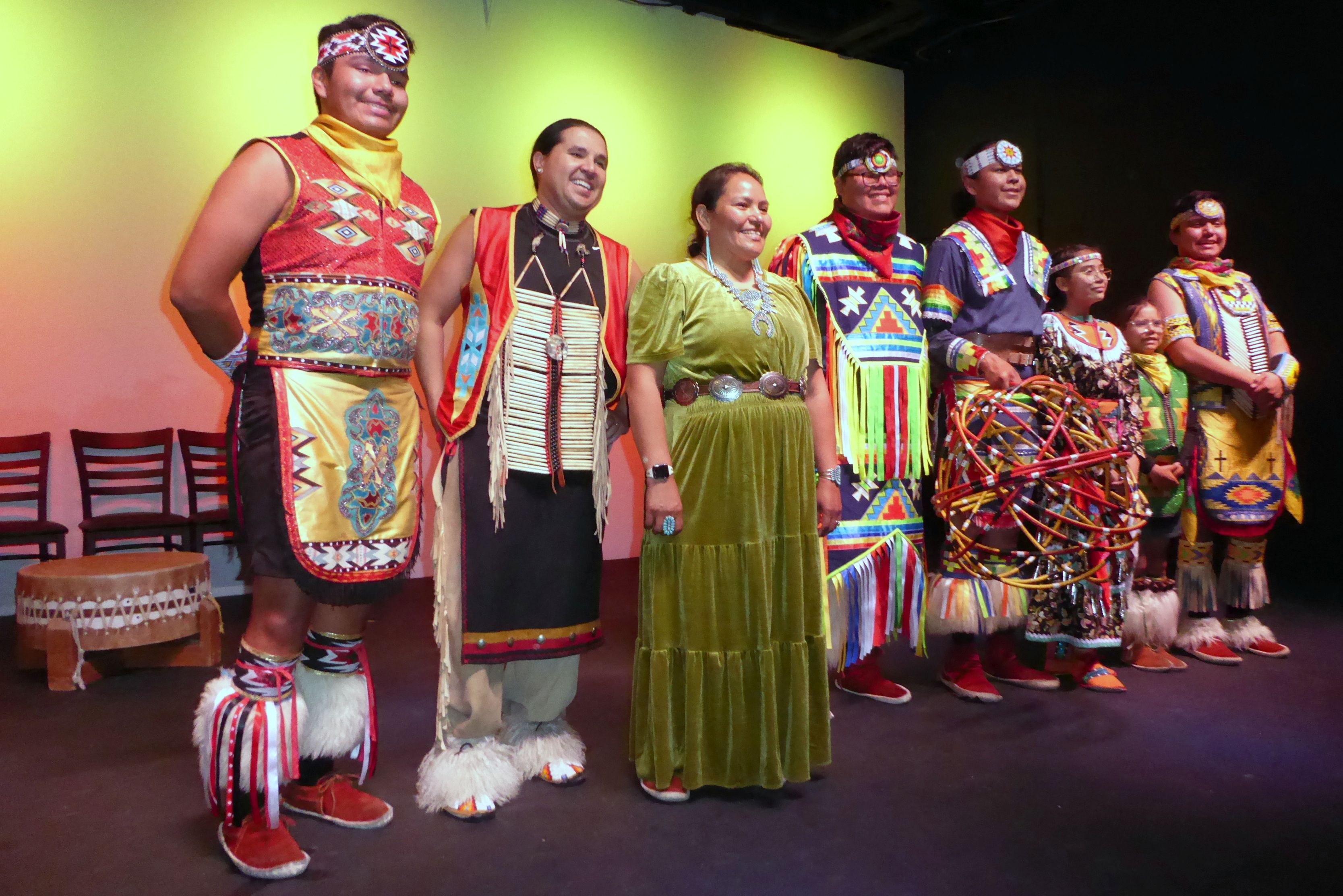
We disembarked at Lees Ferry, returned to our hotel for a break, and then went to the Red Heritage Indigenous Entertainment Hall for an evening of Native American history, culture, music, dance, and a dinner of Navajo Tacos. The cultural history was excellently presented and very interesting; and, the entertainment was fun to watch. To see a sampling, check out this video I shot during the performance. (Yes, shooting videos was warmly welcomed!).
Coming up next: Amazing Antelope Slot Canyon
Given the choice, I would rather visit a museum showcasing crafts rather than fine art, whether they be of ancient peoples or contemporary. My favorite Smithsonian Museum in Washington, D.C., at the time of our visit was the Renwick Gallery, which featured American crafts from the 19th century to the present. It was fabulous!
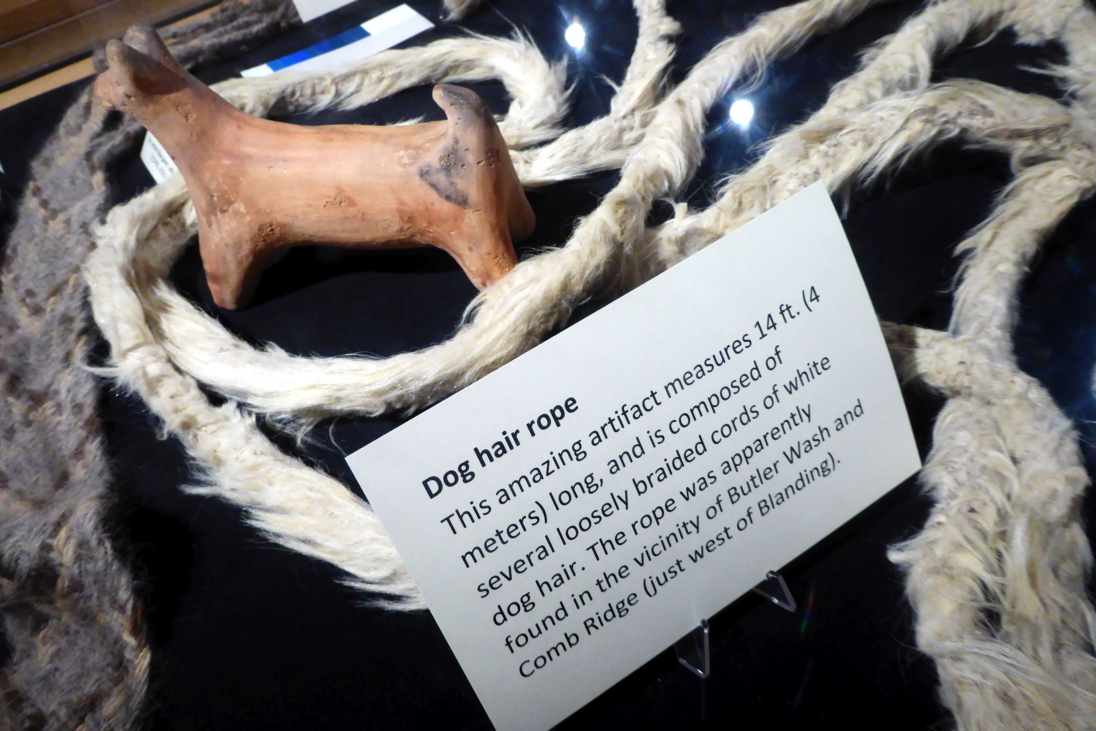
My eyes lit up when we stepped into the Edge of the Cedars State Park Museum, in Blanding, Utah. It has the largest collection of intact Ancestral Puebloan pottery found in the Four Corners region of the U.S. as well as archaeological sites and repository.
Ancestral Puebloan is the term for an ancient American Indian people—the people who were here first in this country. The modern Pueblo Indians of New Mexico and Arizona are their descendants.
The 1906 American Antiquities Act made the unauthorized removal of artifacts from public land a felony. The 1979 Archaeological Resources Protection Act (ARPA) specifically made the removal of artifacts or damage to archaeological sites on public lands punishable by fines or imprisonment. The laws recognize the significance of our nation’s cultural heritage sites and the value in preserving and protecting them. Two great laws!
Unfortunately, these laws have not stopped people from looting priceless ancient artifacts from this area. More crimes covered under the ARPA have been prosecuted in Utah than anywhere else in the United States. Experts estimate that more than 80% of American Indian archaeological sites dating back as far as 17 centuries have been looted.
It was wonderful to be able to see these artifacts up close. The repository was behind a huge glass wall with items lined up and numbered. In front of the room, there was a computer kiosk available where each item could be looked up in the database. I wish I would have had more time to spend reading more about this gorgeous pottery.
(For all pictures, click on the image to see full screen view.)

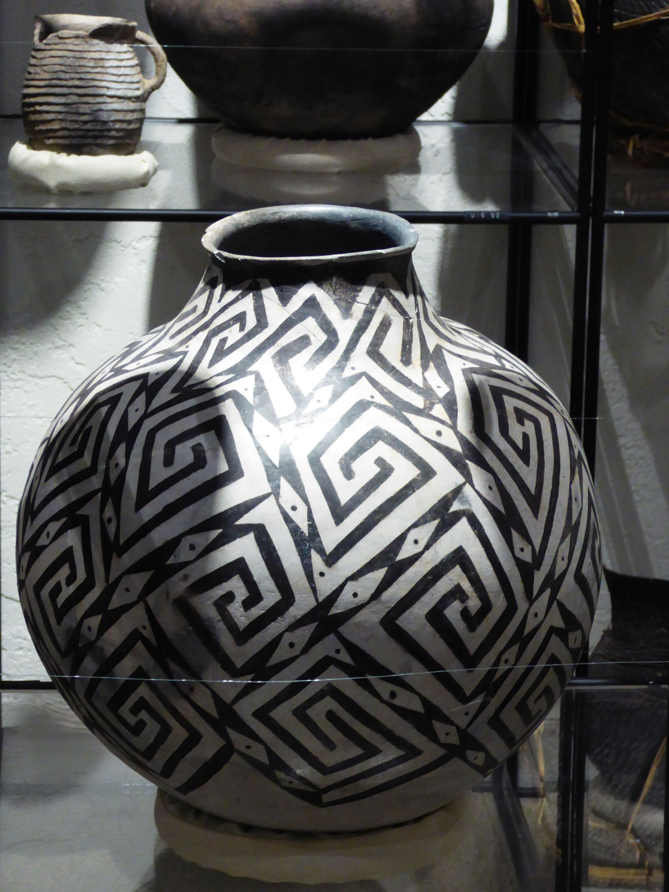
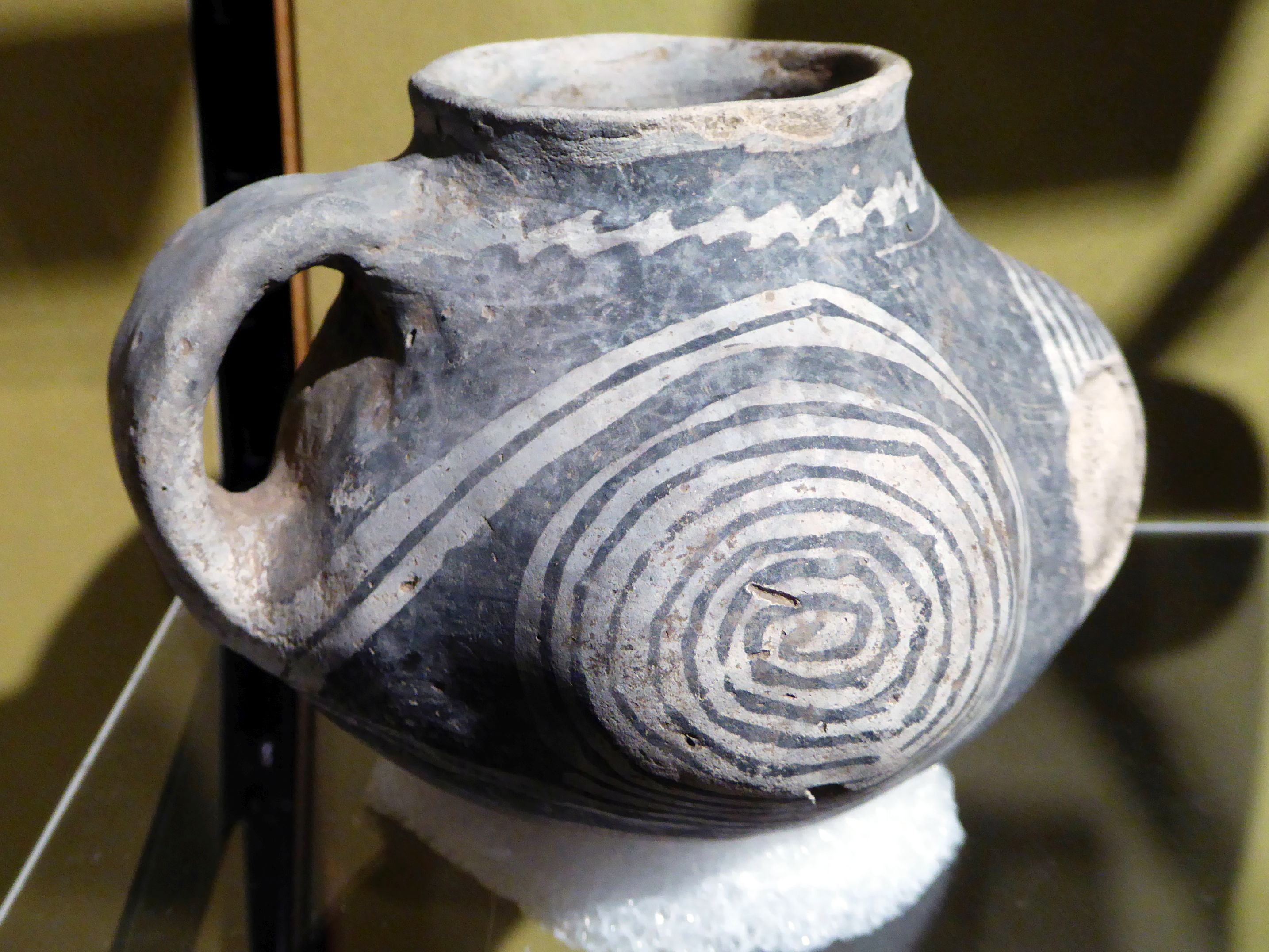
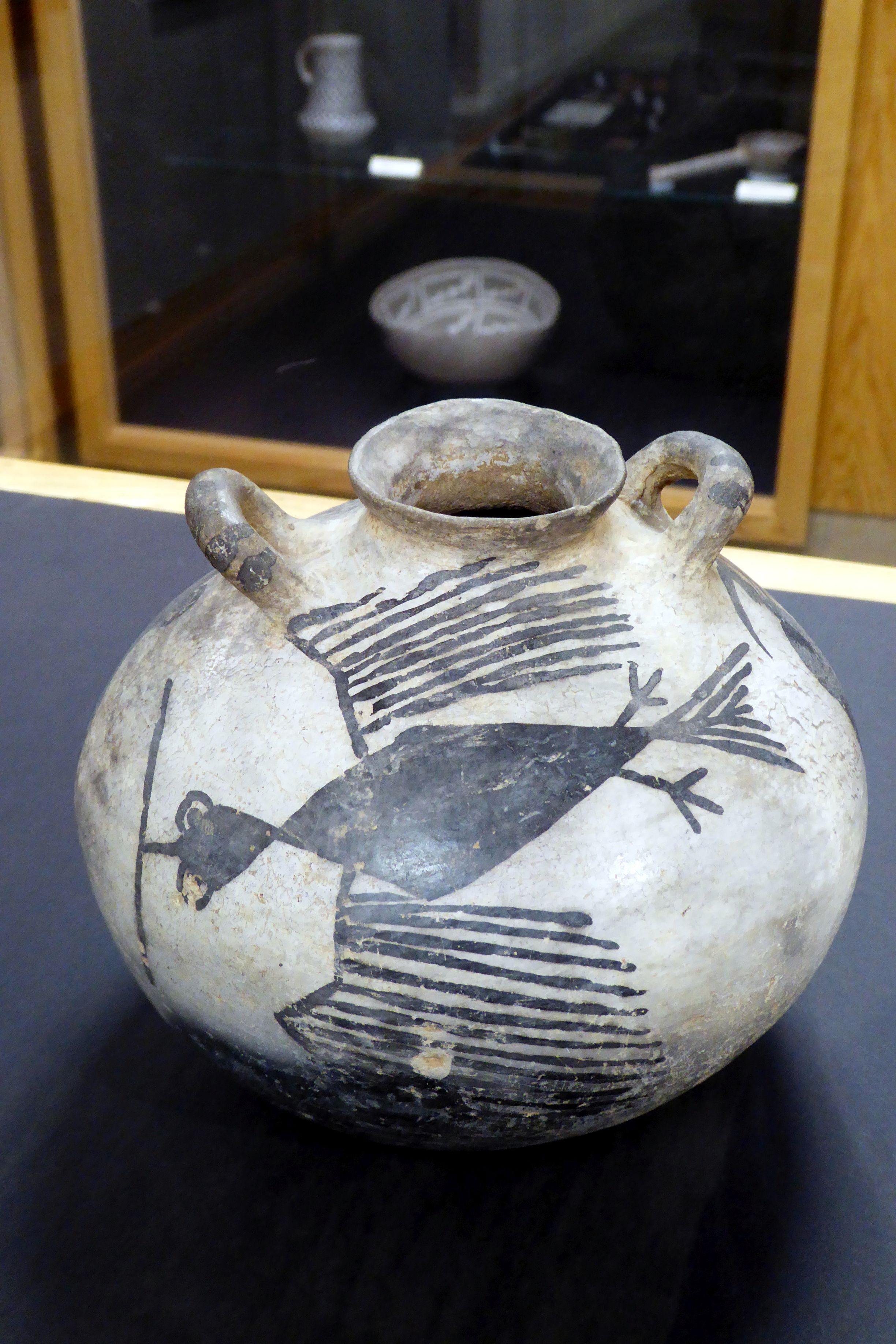
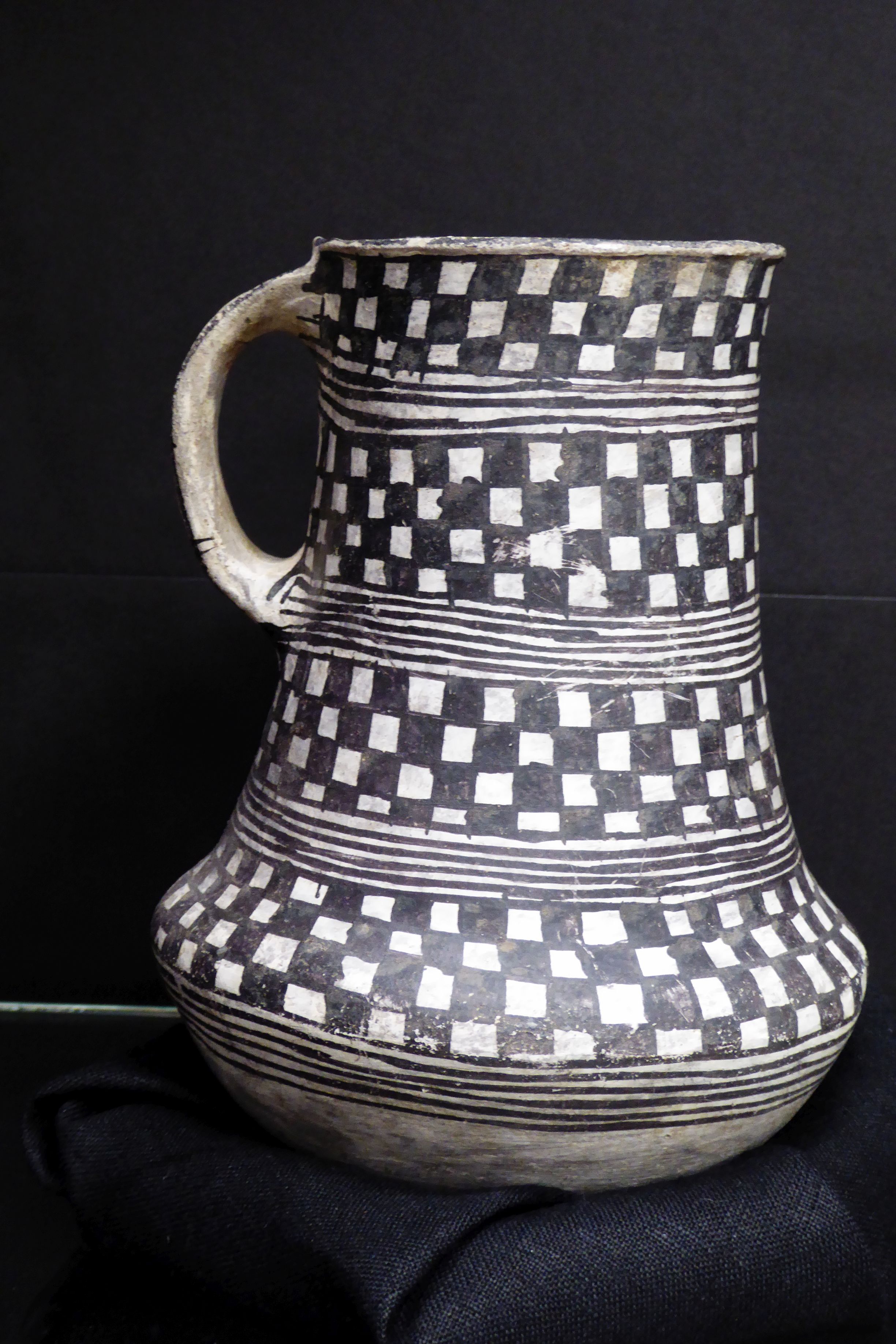
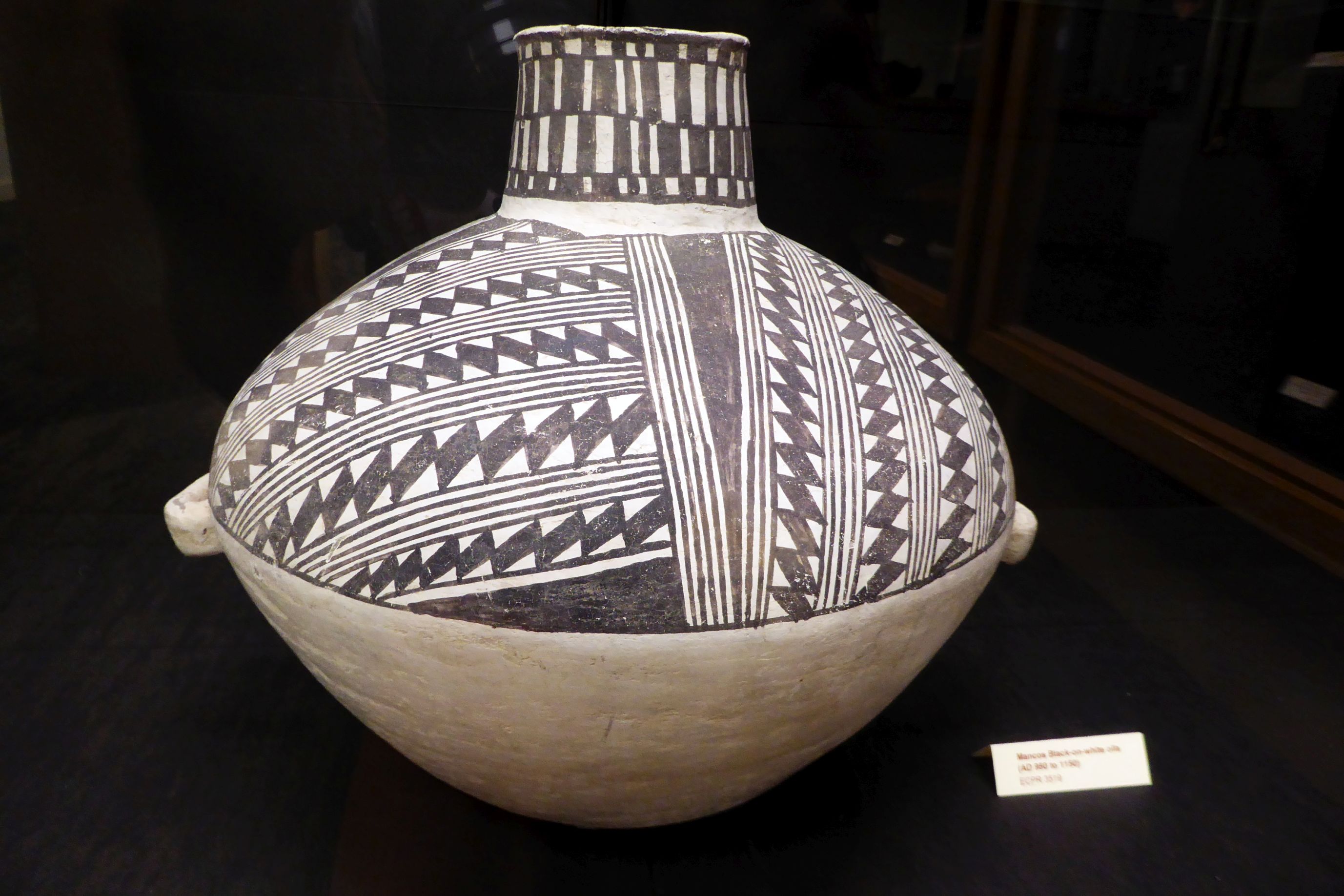
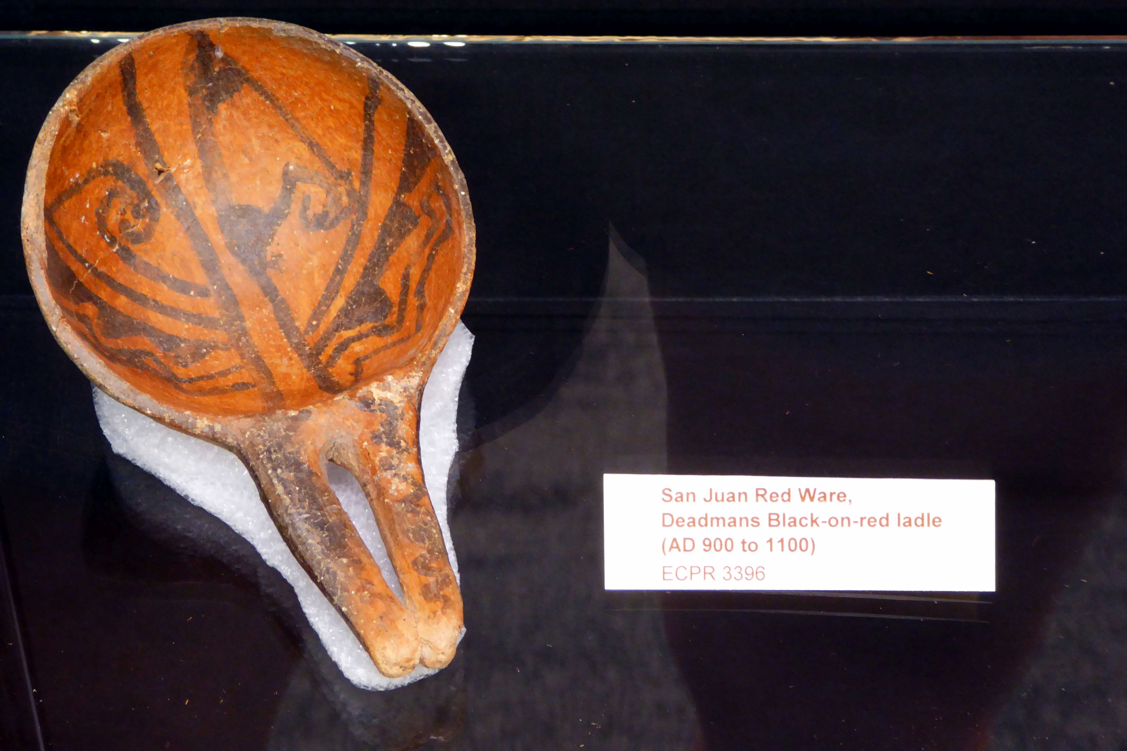
I did learn that all Ancestral Puebloan ceramics were shaped by hand and the surfaces of serving bowls and some jars were decorated with painted designs.
The Kayenta people are best known for finely painted black-on-white or black-on-orange ceramics.

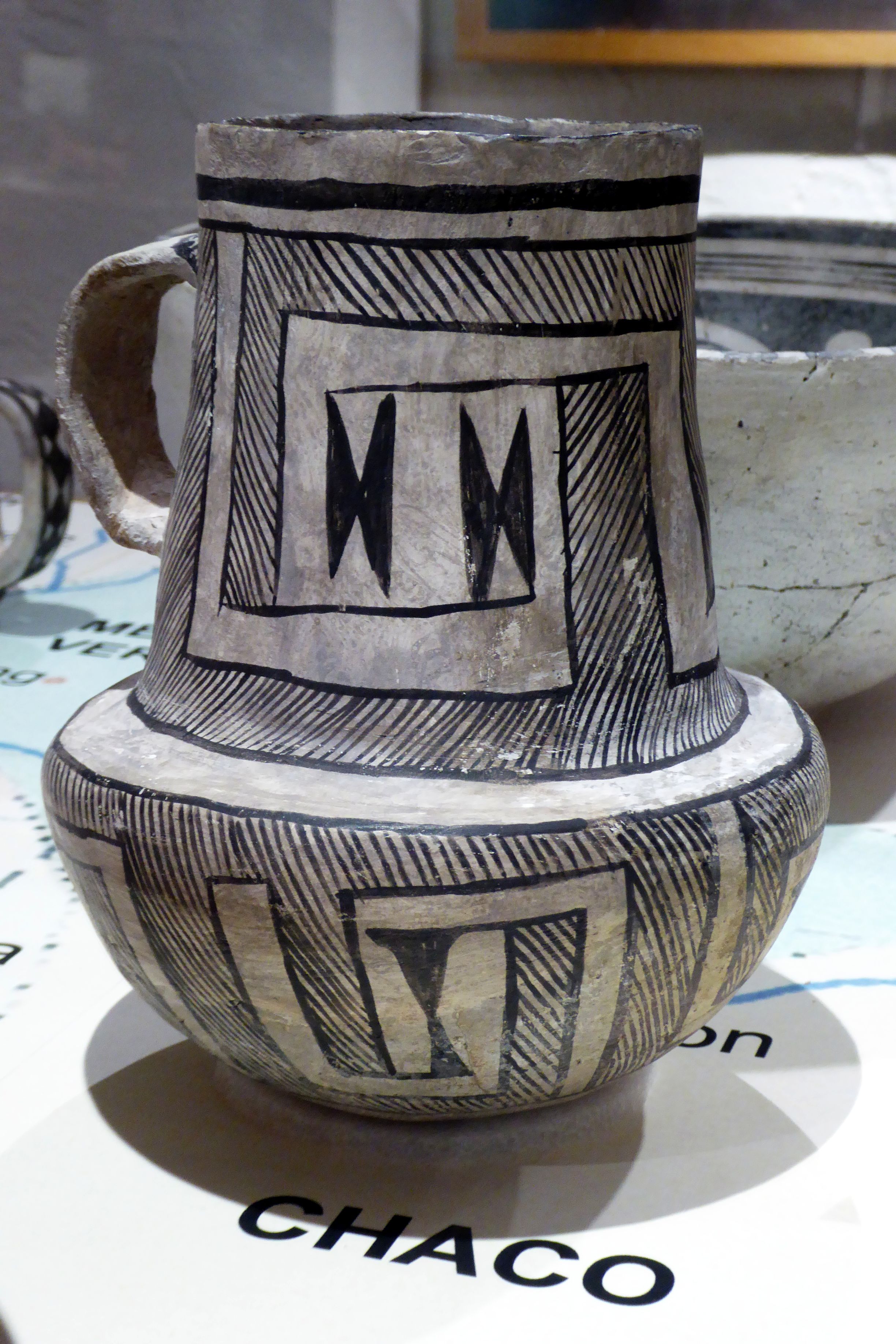
Chaco ceramics are also black-on-white. Their most distinctive style involved bounded fields filled with hachured or parallel lines. Geometric scrolls are common motifs, and curvilinear designs also occur. Cylindrical vases and cylindrical-necked pitchers are unique to the Chacoan style and may have been produced by specialists.
Mesa Verde ceramics underwent centuries of change in design style. The ceramics produced between A.D. 1200-1300 are generally considered the most stylistically distinctive. These are black on white, painted with complex geometric designs.




The other artifacts in the museum were also striking. This colorful macaw feather sash really caught my eye. I have never seen anything like it! The technique of using featured cords is known from only a few Basketmaker Period cave sites (A.D. 750-950). Radio-carbon dating confirmed a date of A.D. 1150 for this sash.

The feathers are from the Scarlet Macaw, a parrot native to Mexico, indicating there was trading going on between the Ancestral Puebloan and Aztecs.
The museum also featured a rare collection of baskets found at a site in Manti La Sal National Forest. It dates back to A.D. 1150, which is amazing, considering the excellent condition of these baskets.
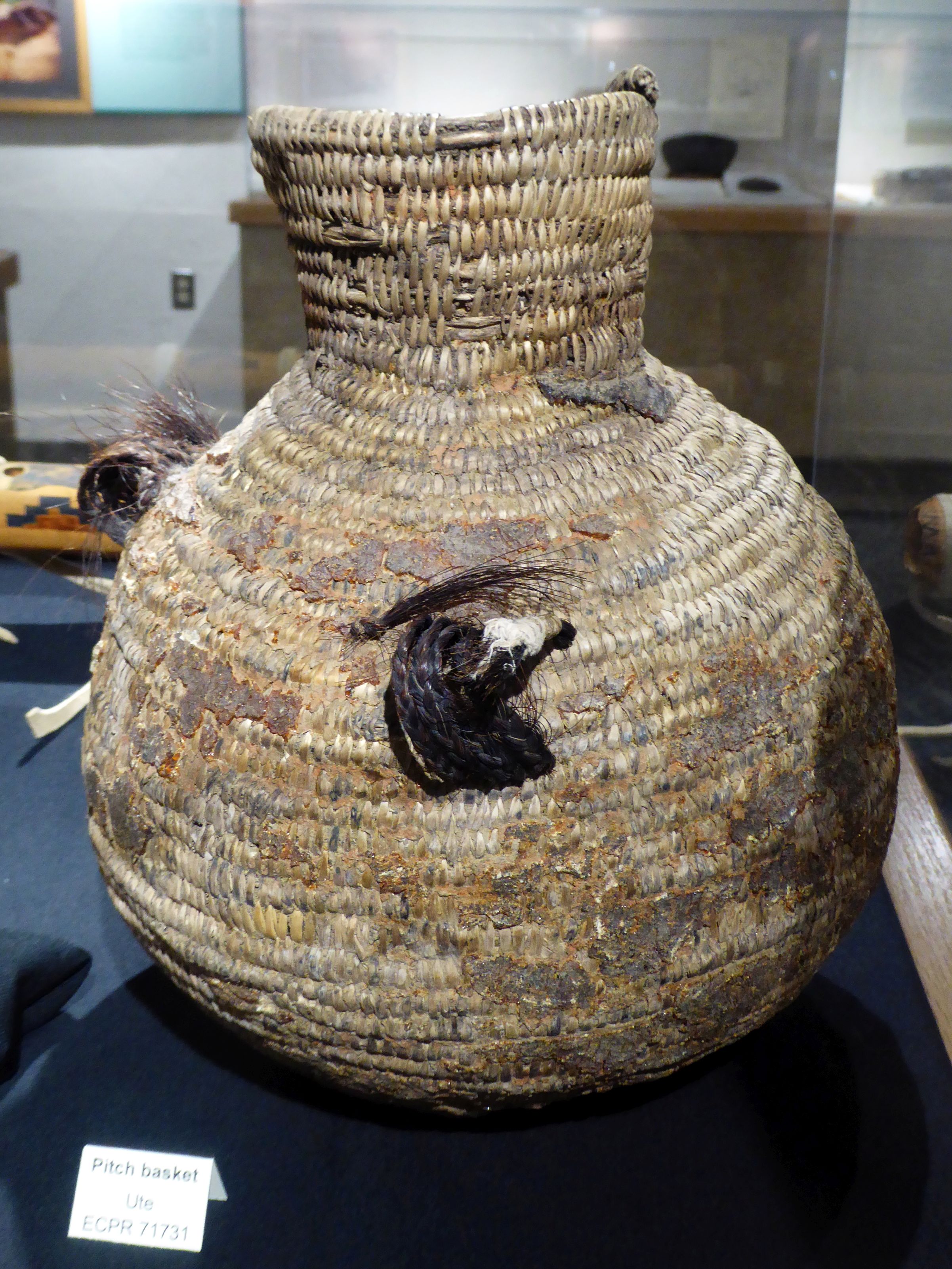

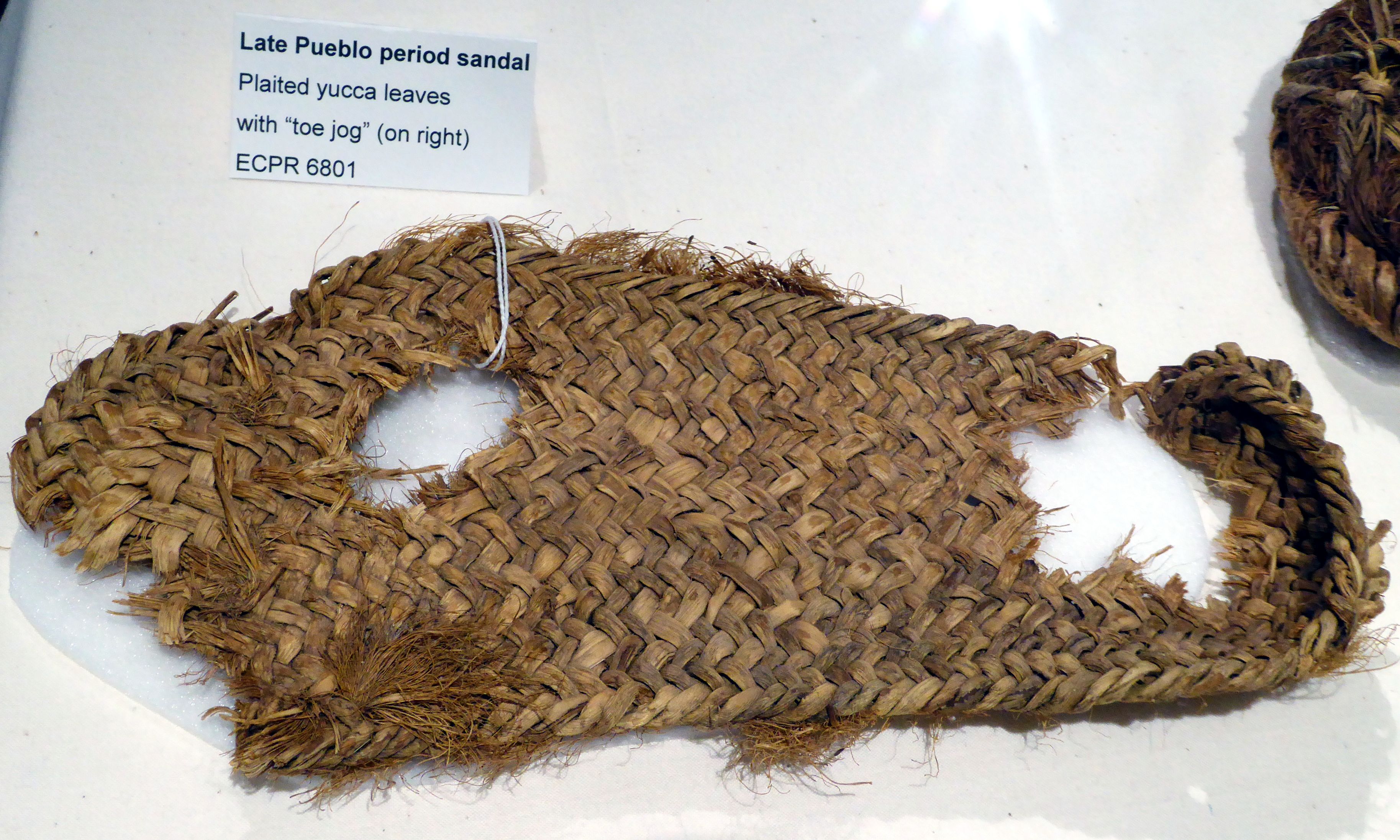
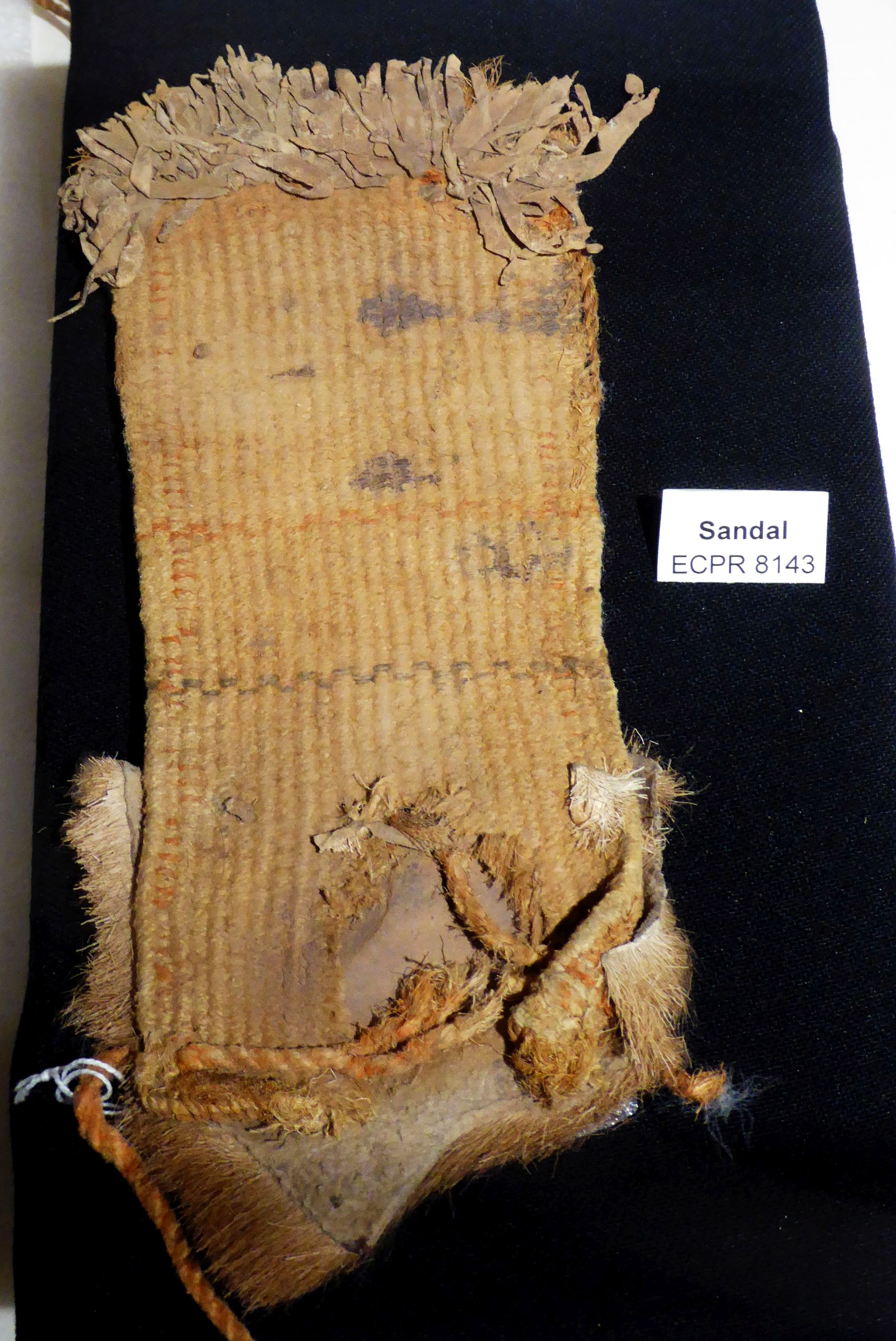
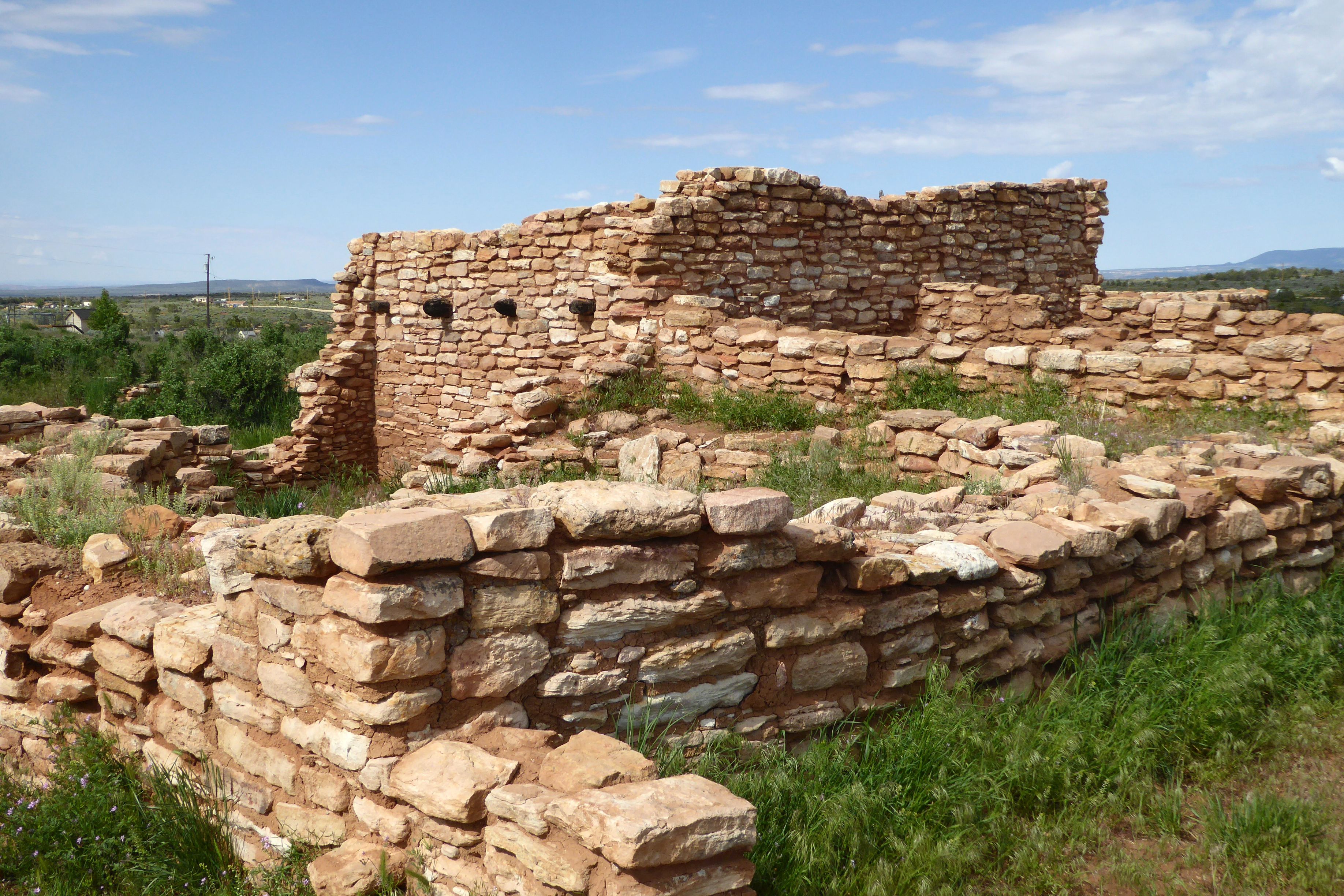
Behind the museum is a Chacoan great House and great kiva, dating back to the 1000’s. The great house was originally a multistory building used by the Chacoan community, and the kiva was a subterranean round room used for rites and political meetings. I climbed down into the kiva to see where these meetings took place so many centuries ago.


I was curious about this:

The sculpture replicates prehistoric archaeoastronomy sites found in the Southwest and acts as a laboratory to chart the sun’s yearly migration. Archaeoastronomy is the study of prehistoric cultural connections with the sun, moon, and stars.
The people who lived at this site may have used solar markers to determine when to plant and harvest crops.
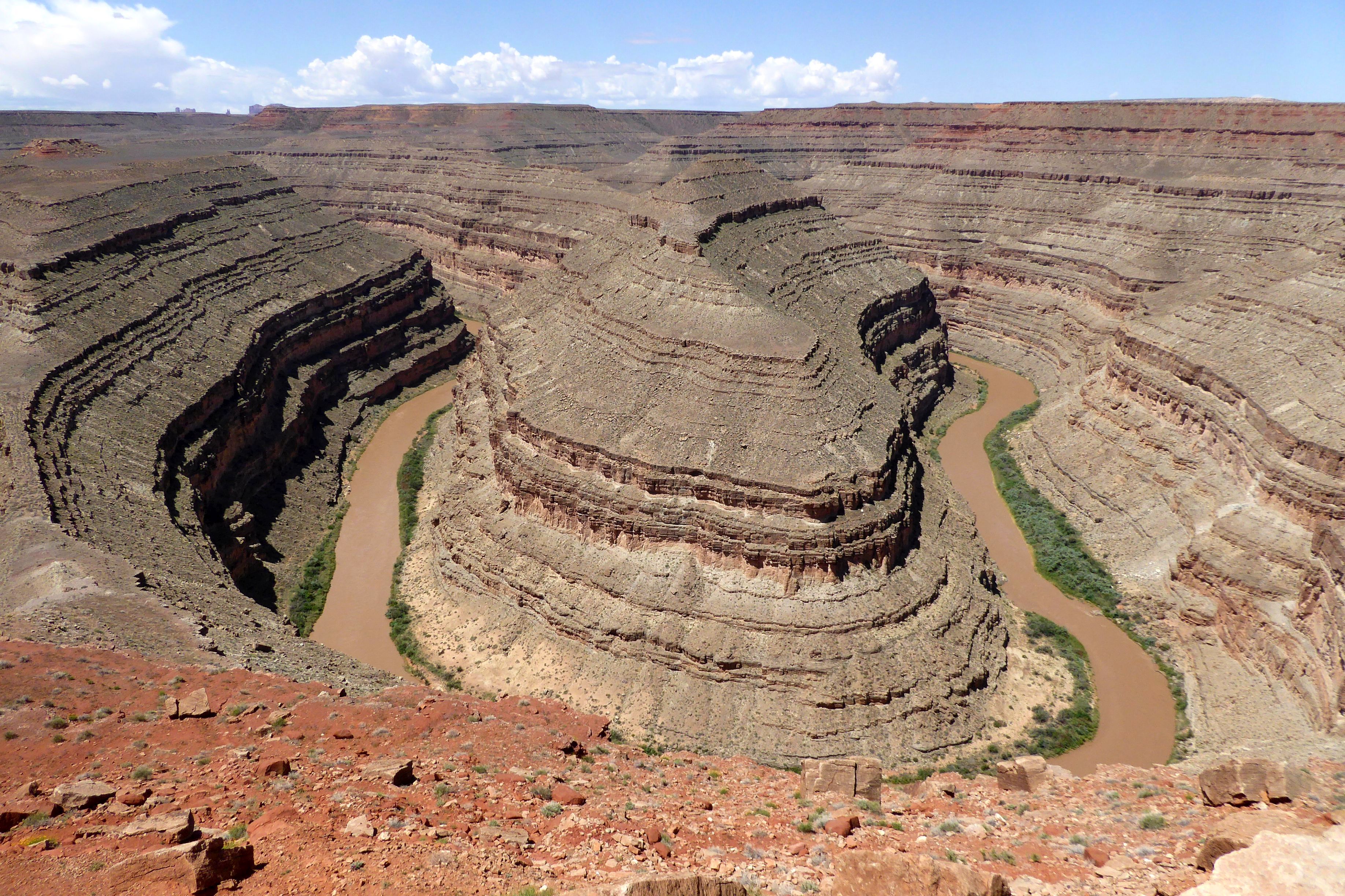
Following our museum visit, we went to Goosenecks State Park for a brief look at the view before continuing on to Monument Valley Navajo Tribal Park.

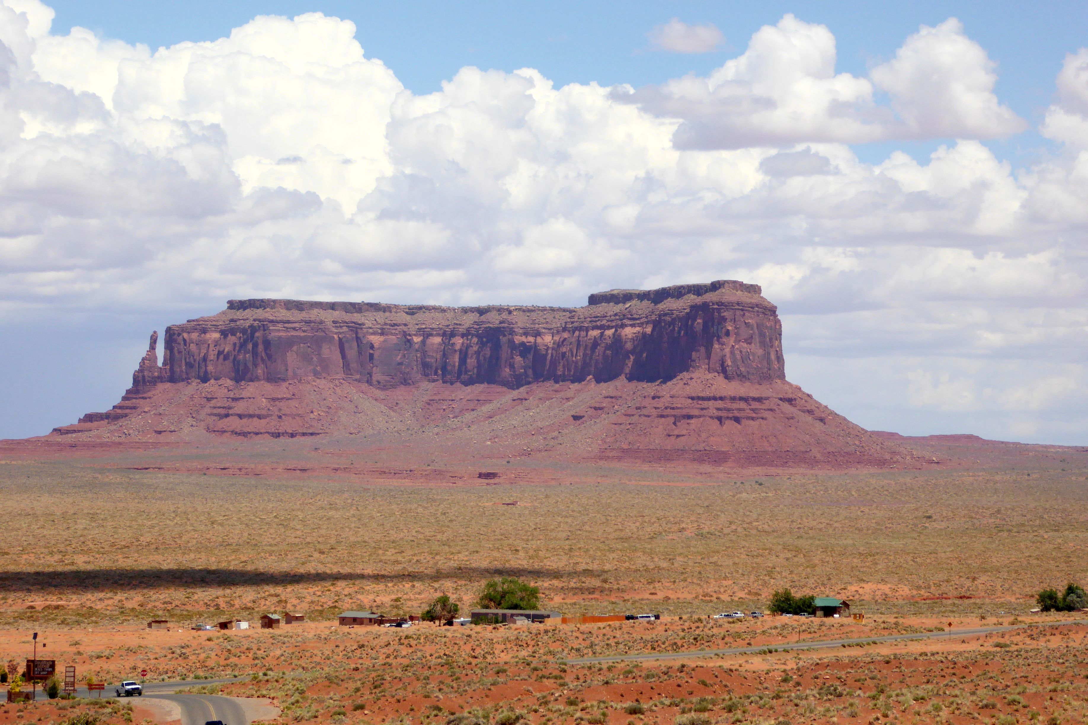

The valley features sandstone buttes that range from 400 to 1,000 feet high. Two of the butters are shaped like mittens, so they are appropriately named Mitten Buttes.
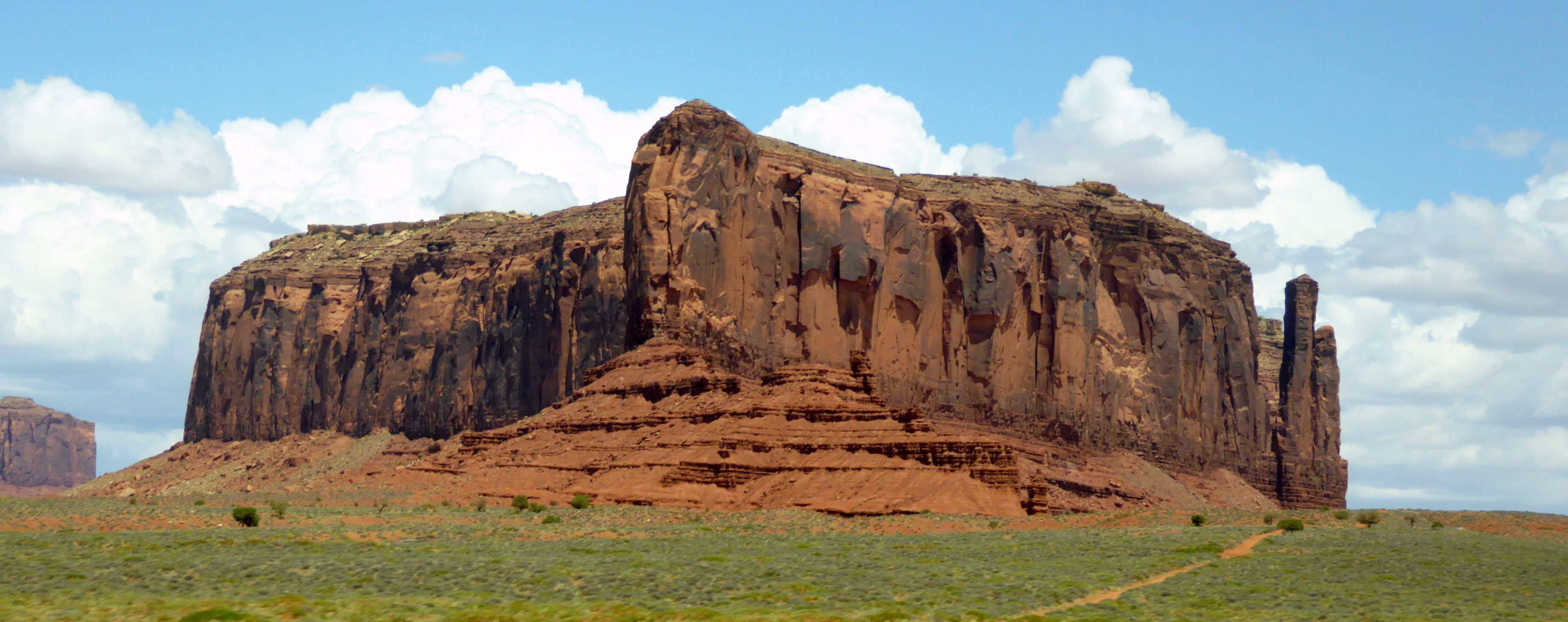

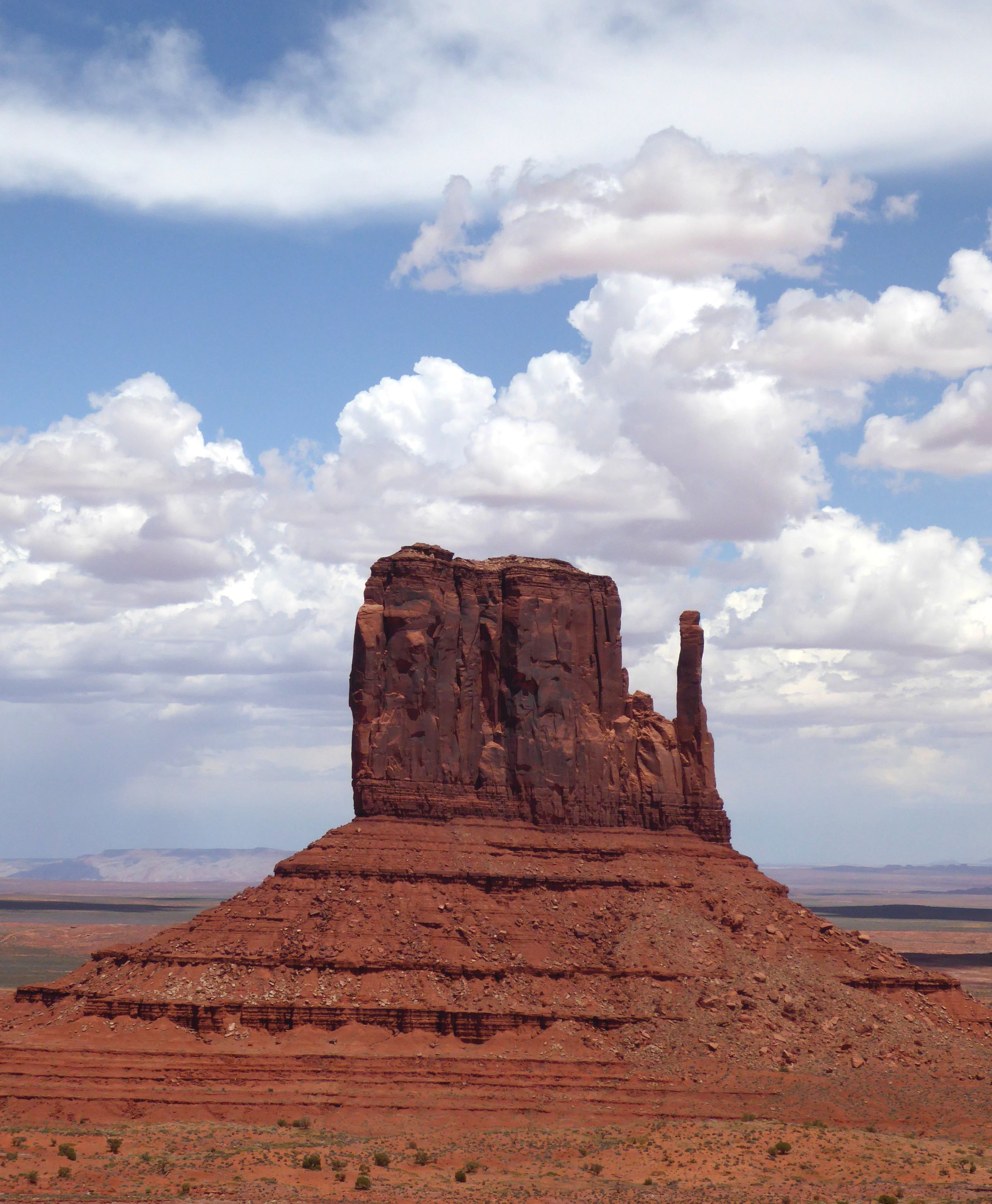
Next up: A Cool Colorado River Raft Float
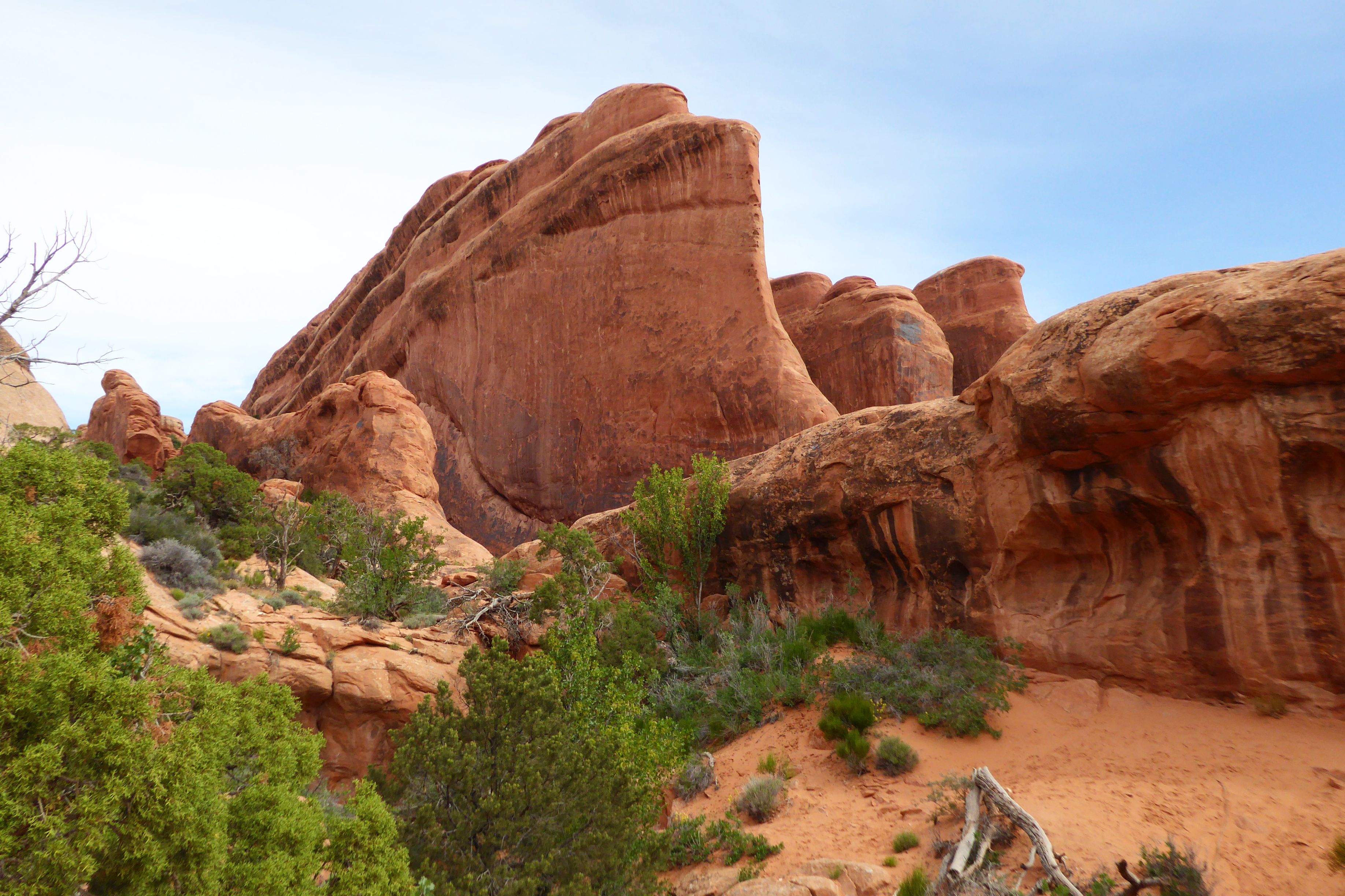
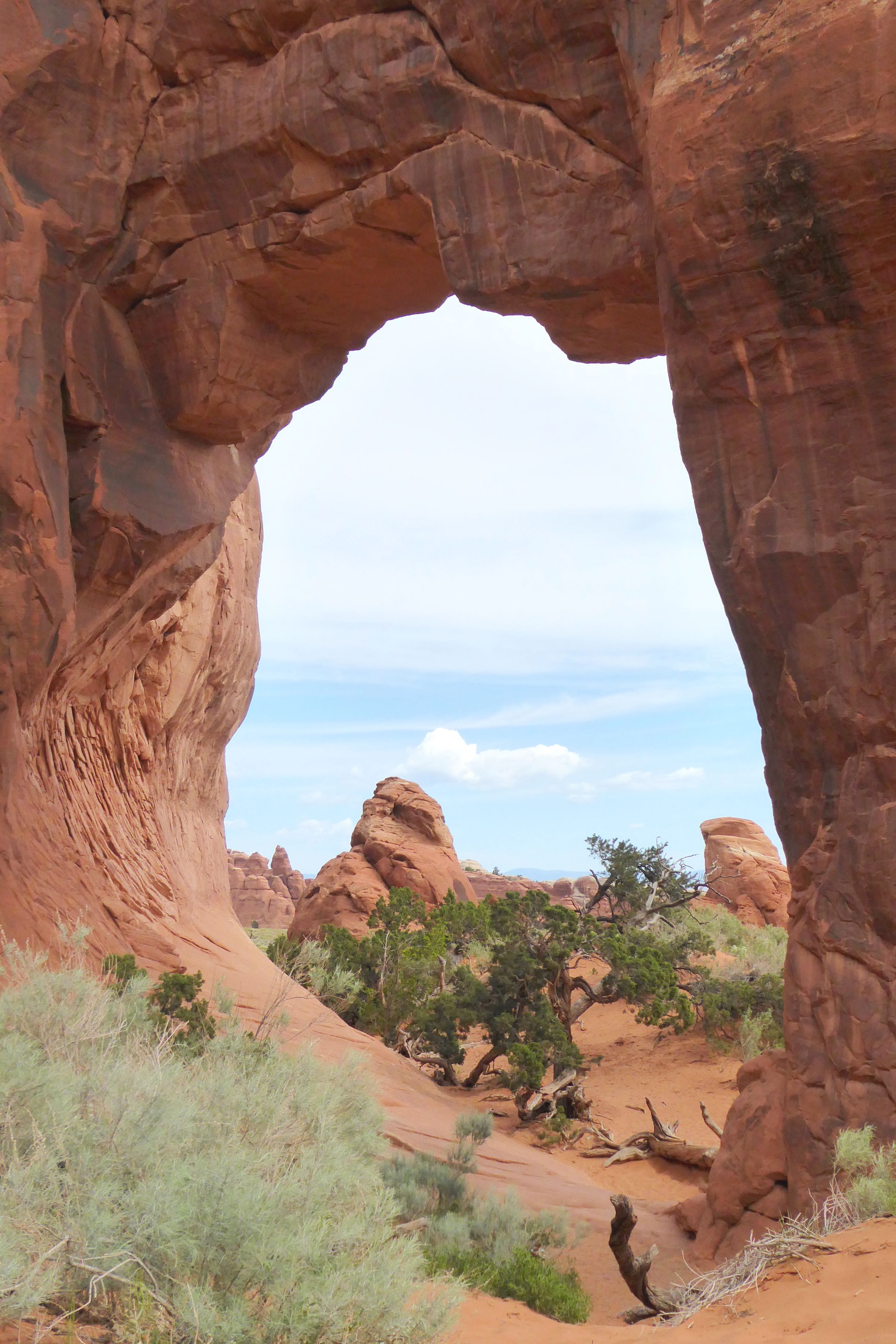
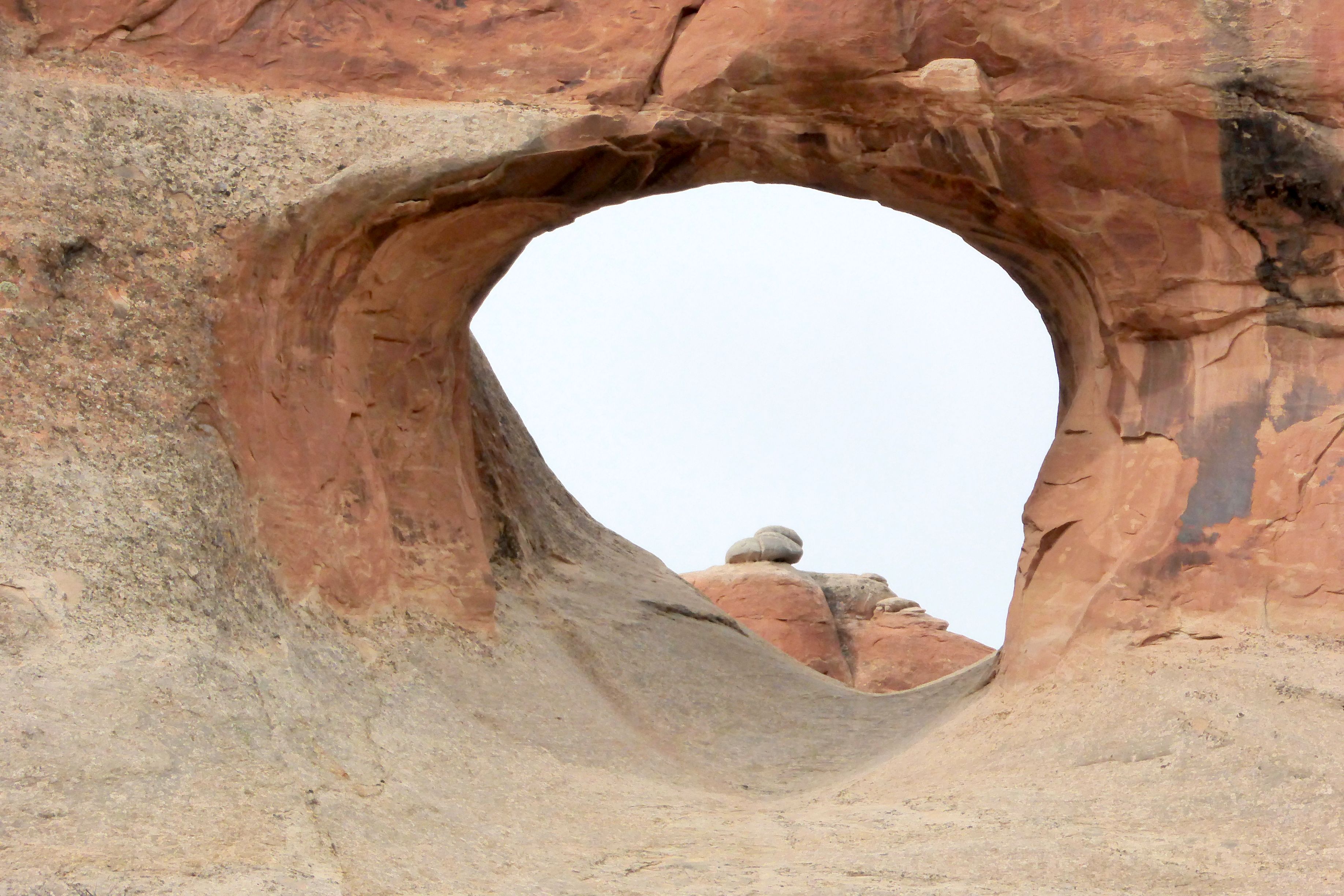
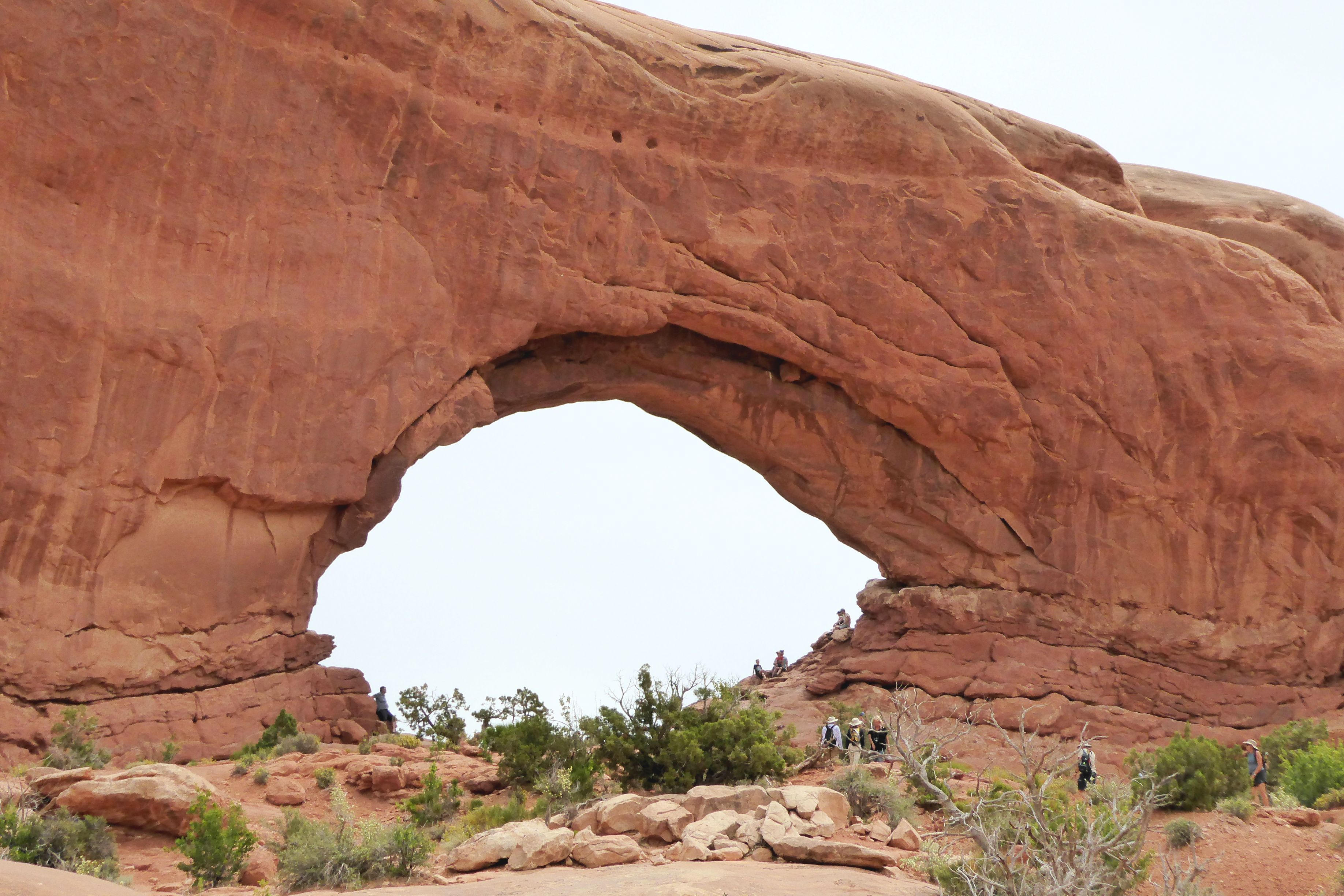
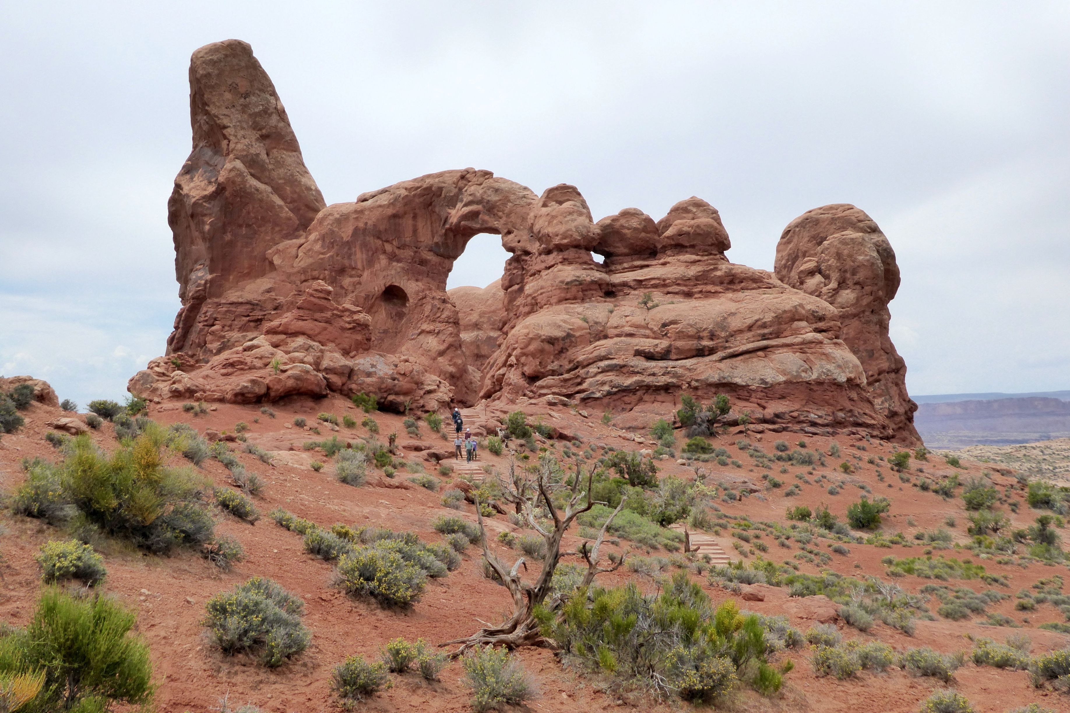
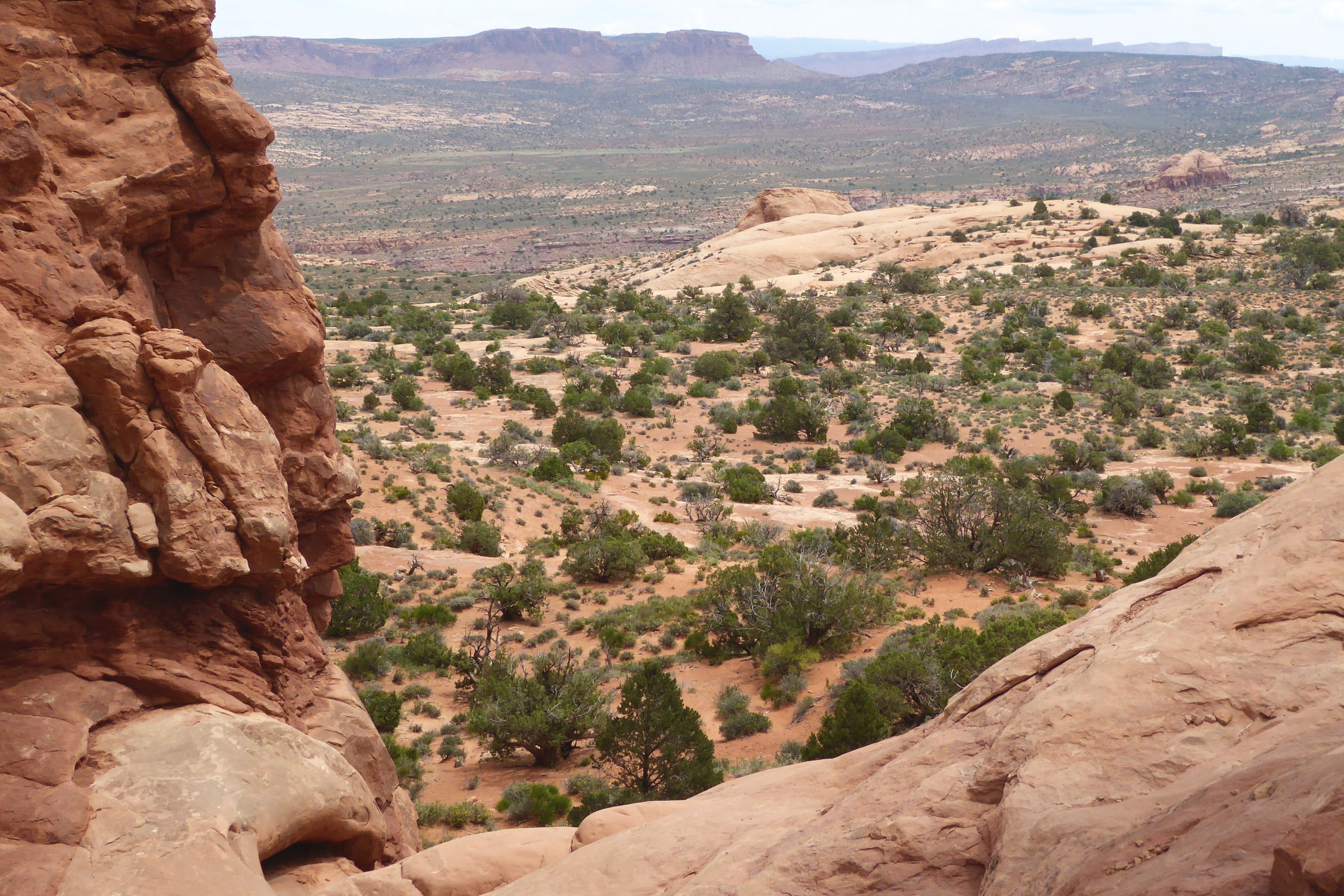
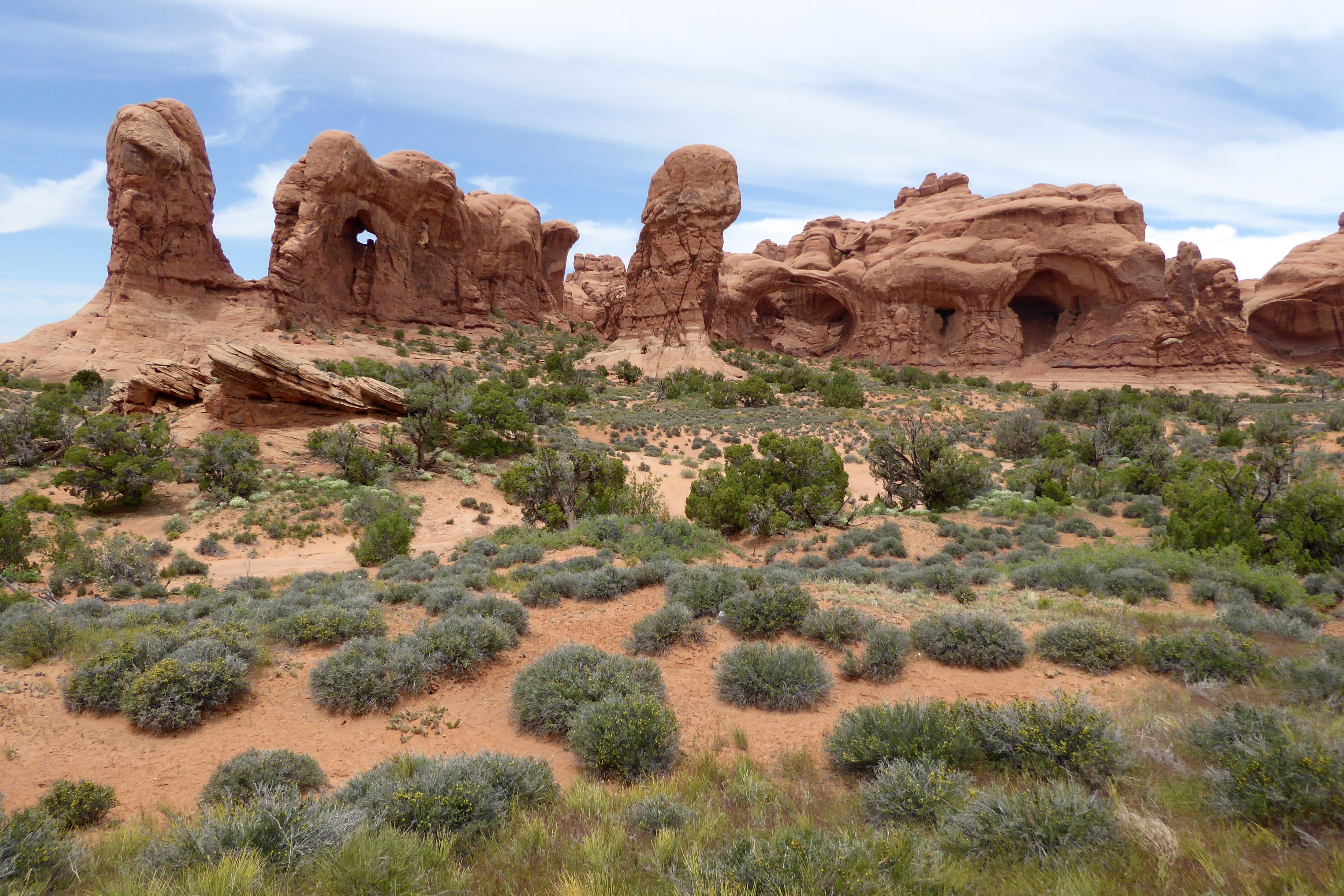
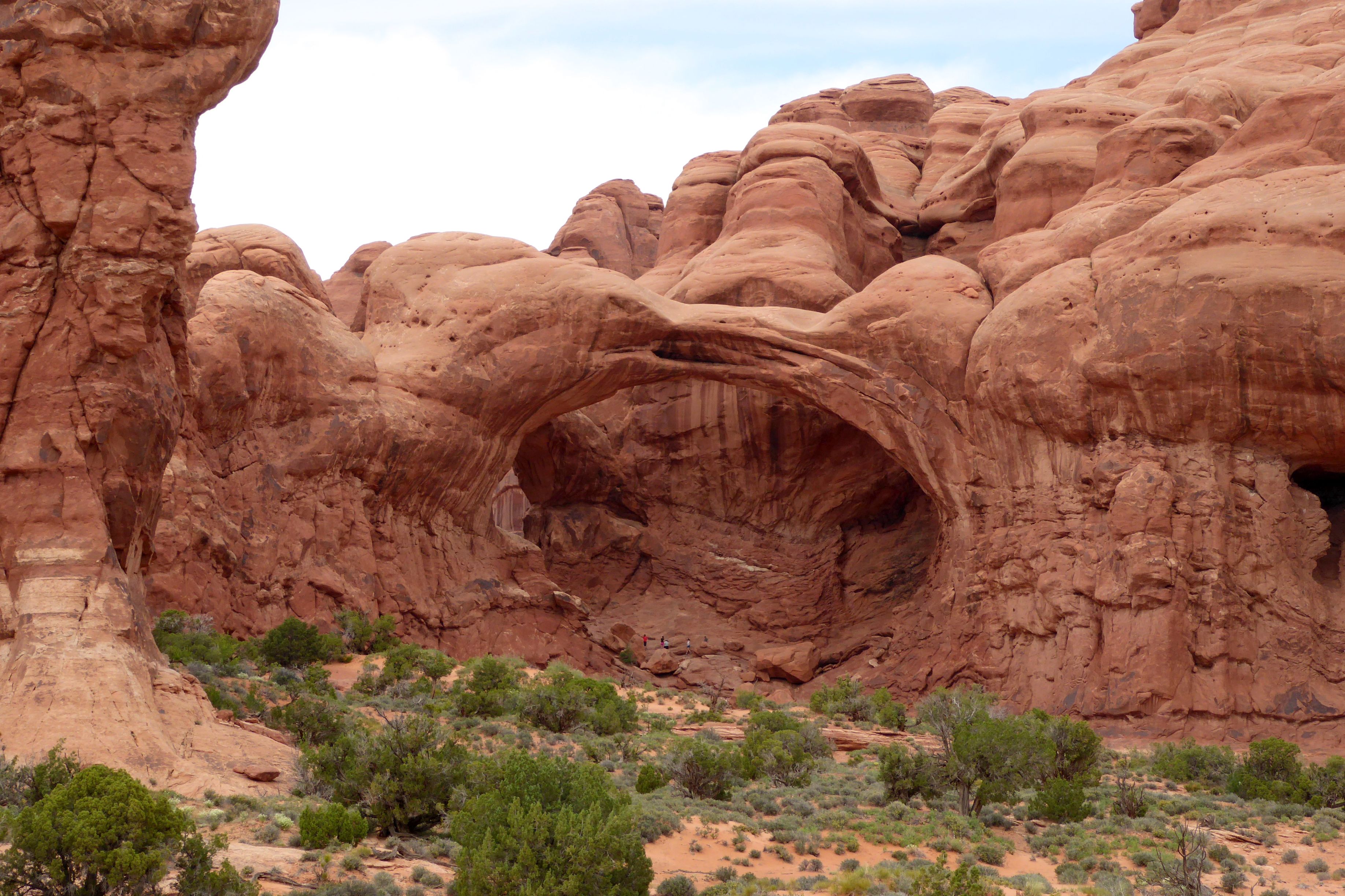
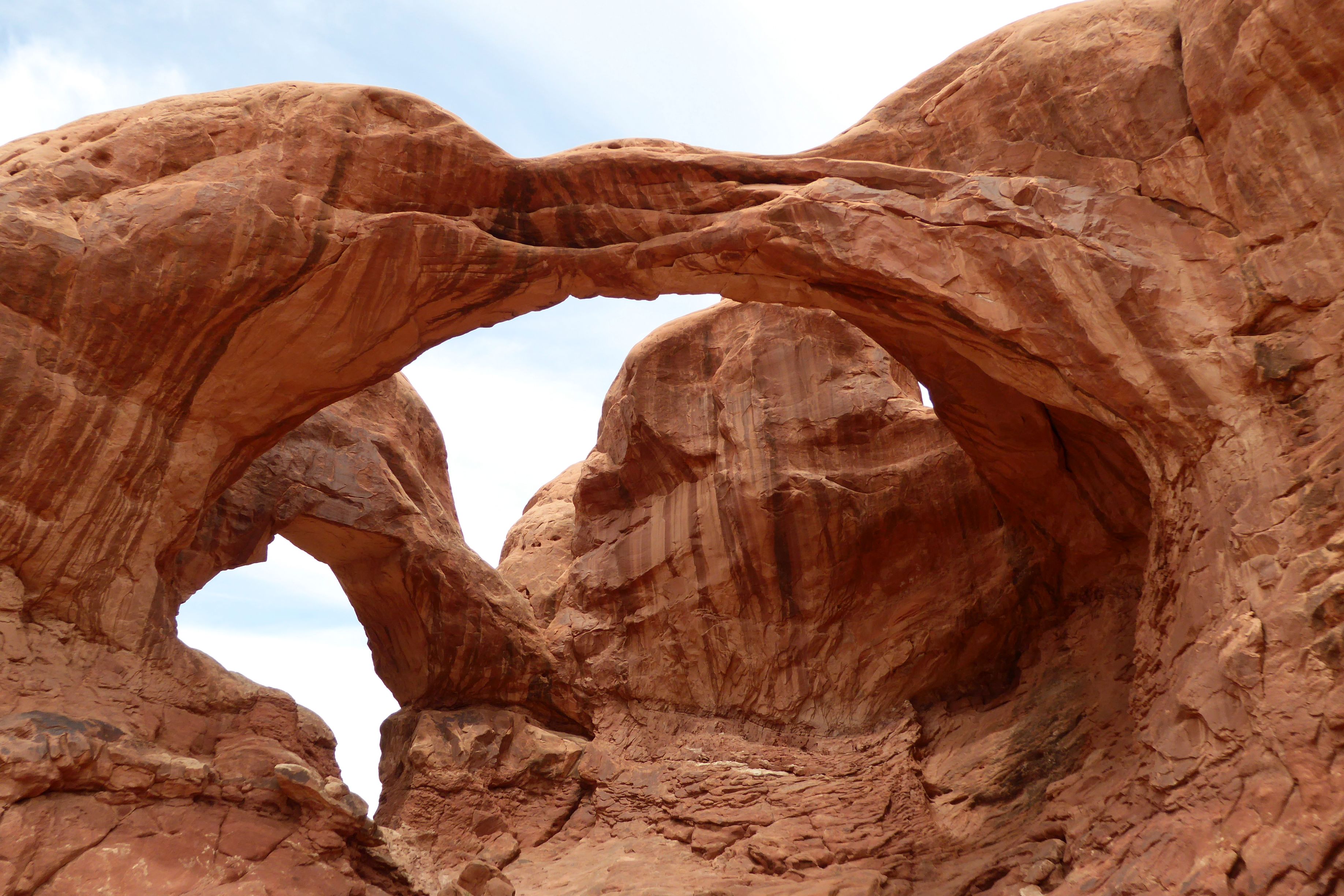
Arches National Park is one of those places that you have to see in person to really grasp how amazing it is. There are over 2,000 natural Entrada Sandstone arches, in addition to all of the other magnificent rock formations.
This is an easy park to get to; it’s only four miles from Moab, Utah. Get there early, though, because the parking lots fill up fast. We were fortunate to be on a bus and not have to worry about that.
The explanation of how these arches were formed over 300 million years is too involved to explain in this post, but it is quite interesting. Check it out here.
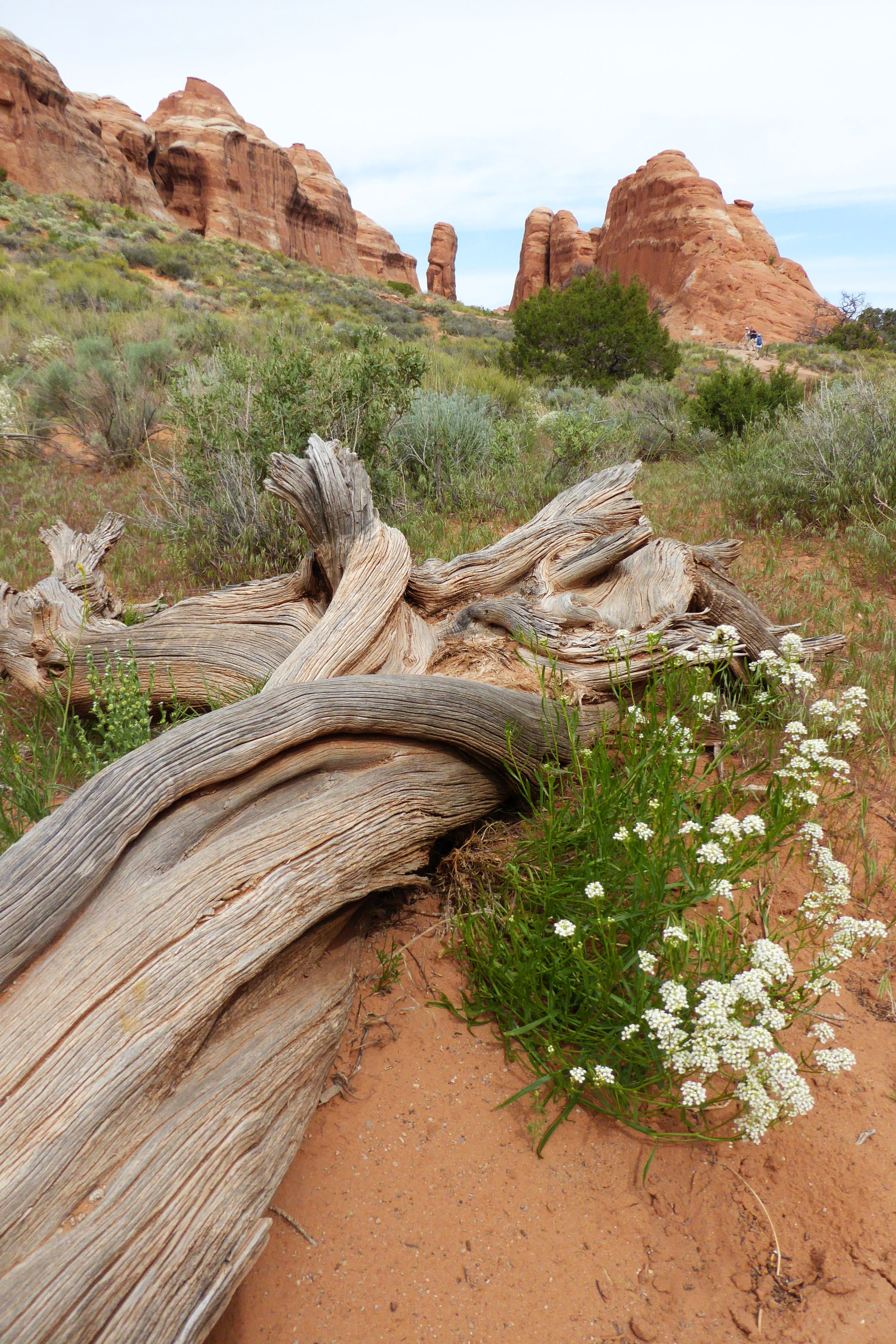
For now, I will just leave you with my favorite photos from the day, beginning with a hike we did on Park Avenue. No, not that Park Avenue!
(For all pictures, click on the image to see full screen view.)
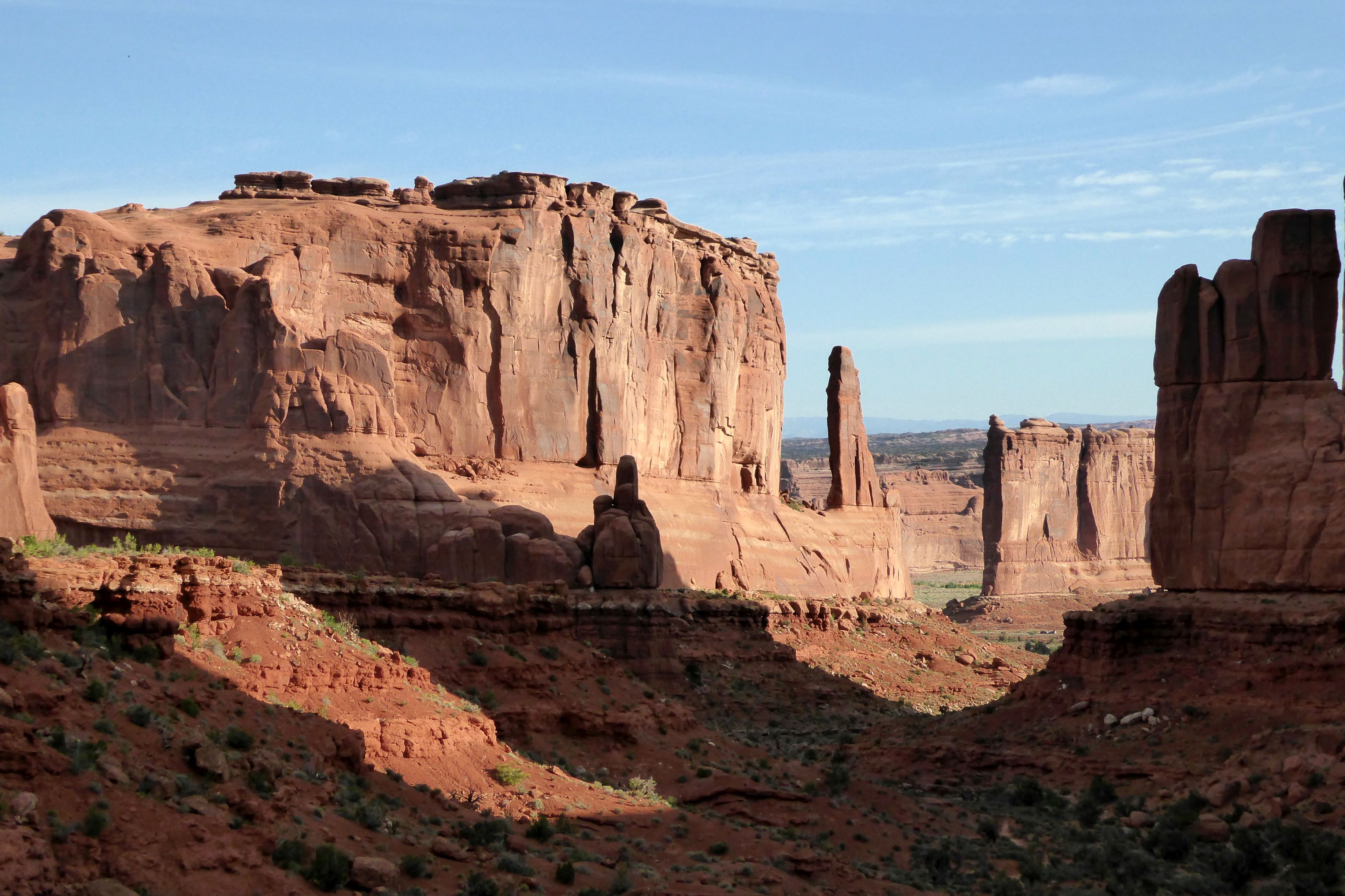
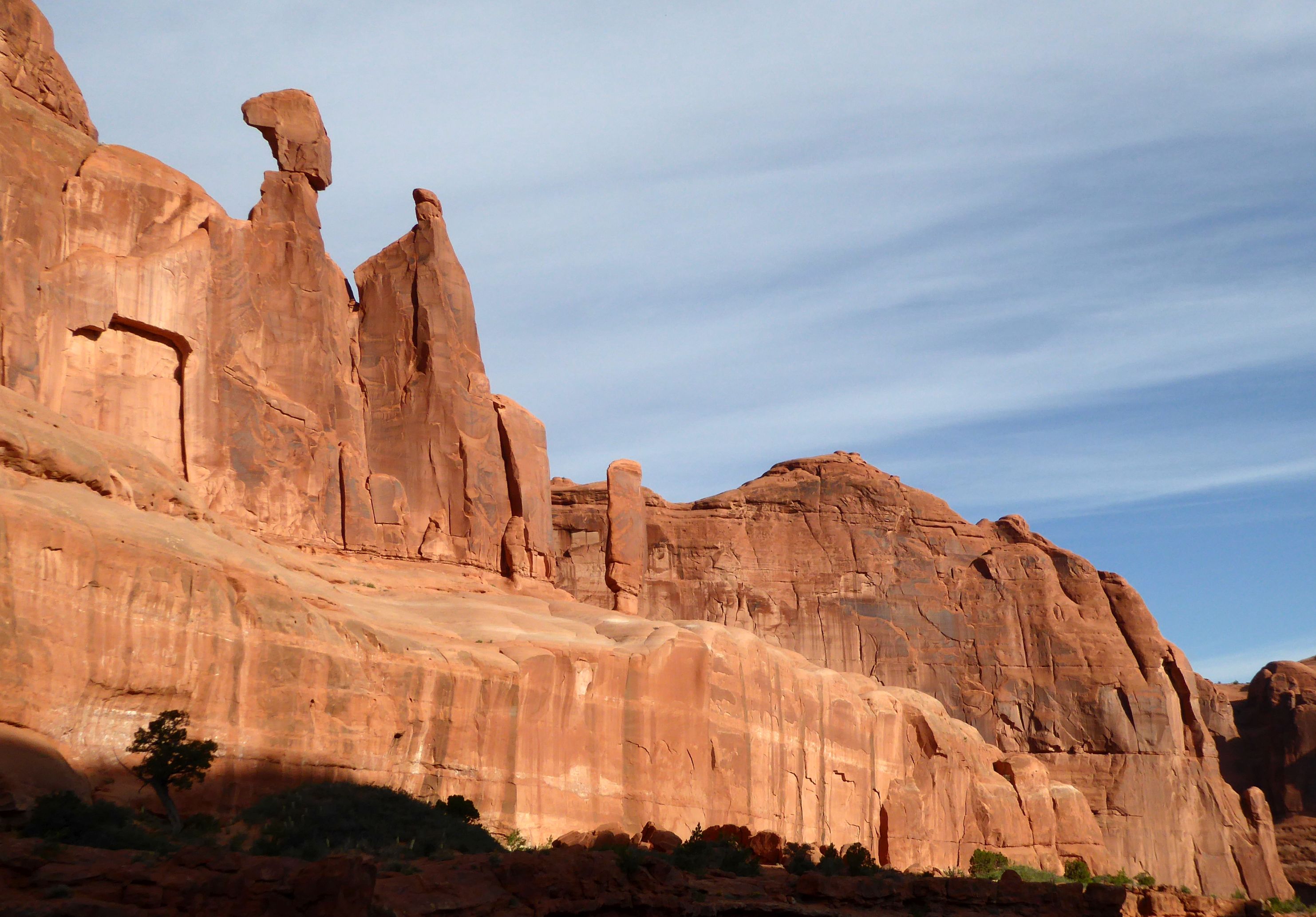
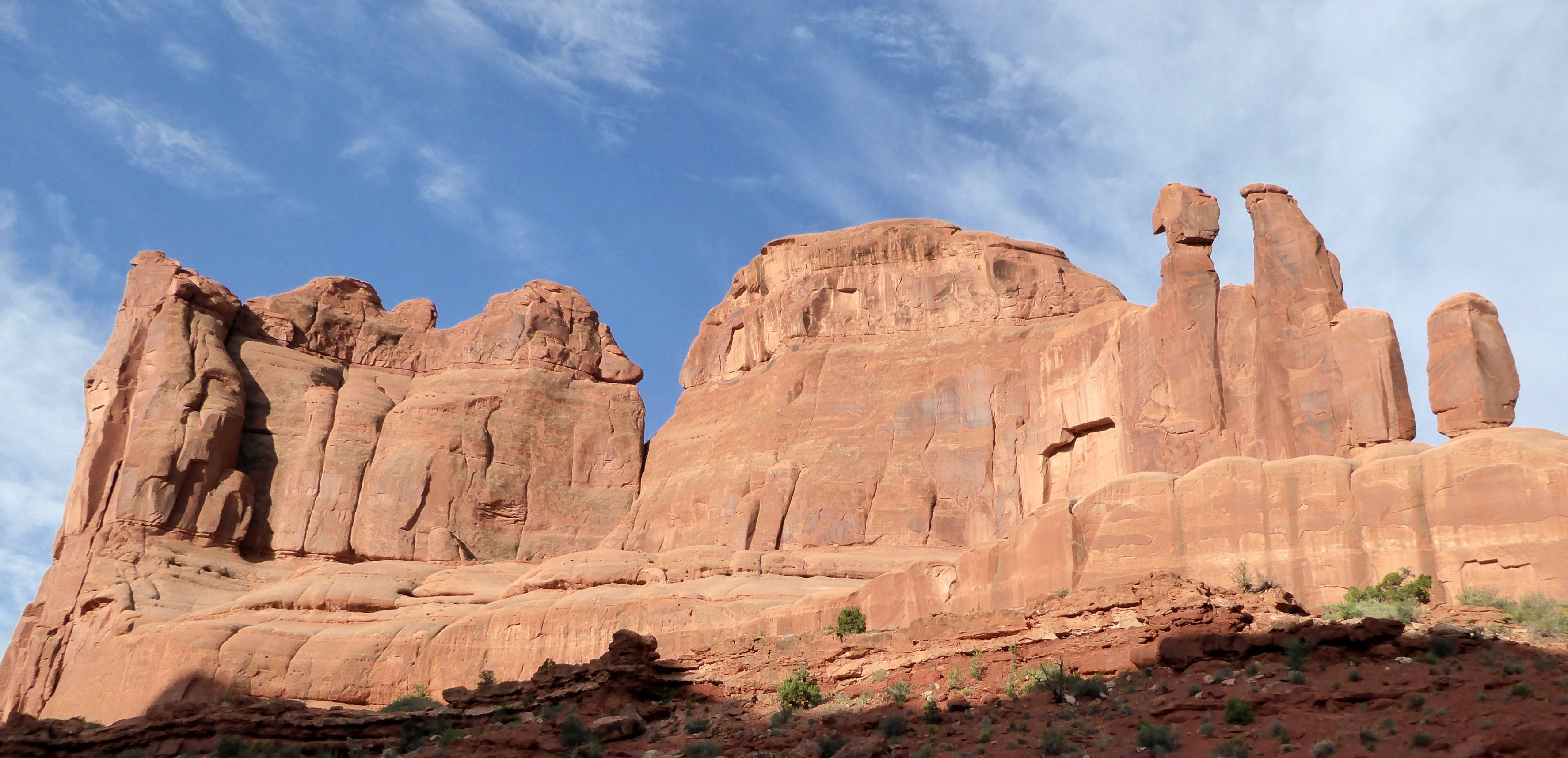

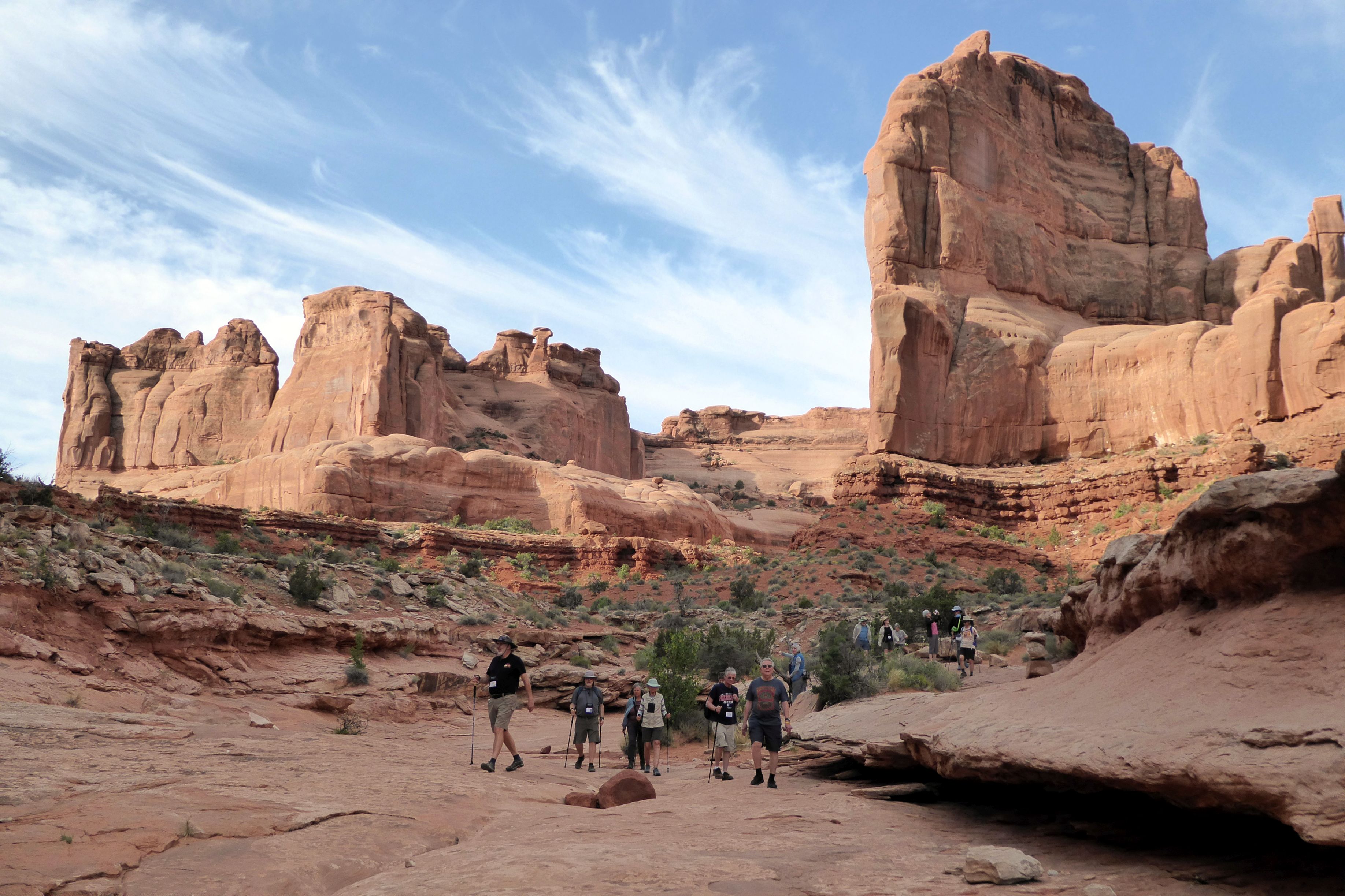

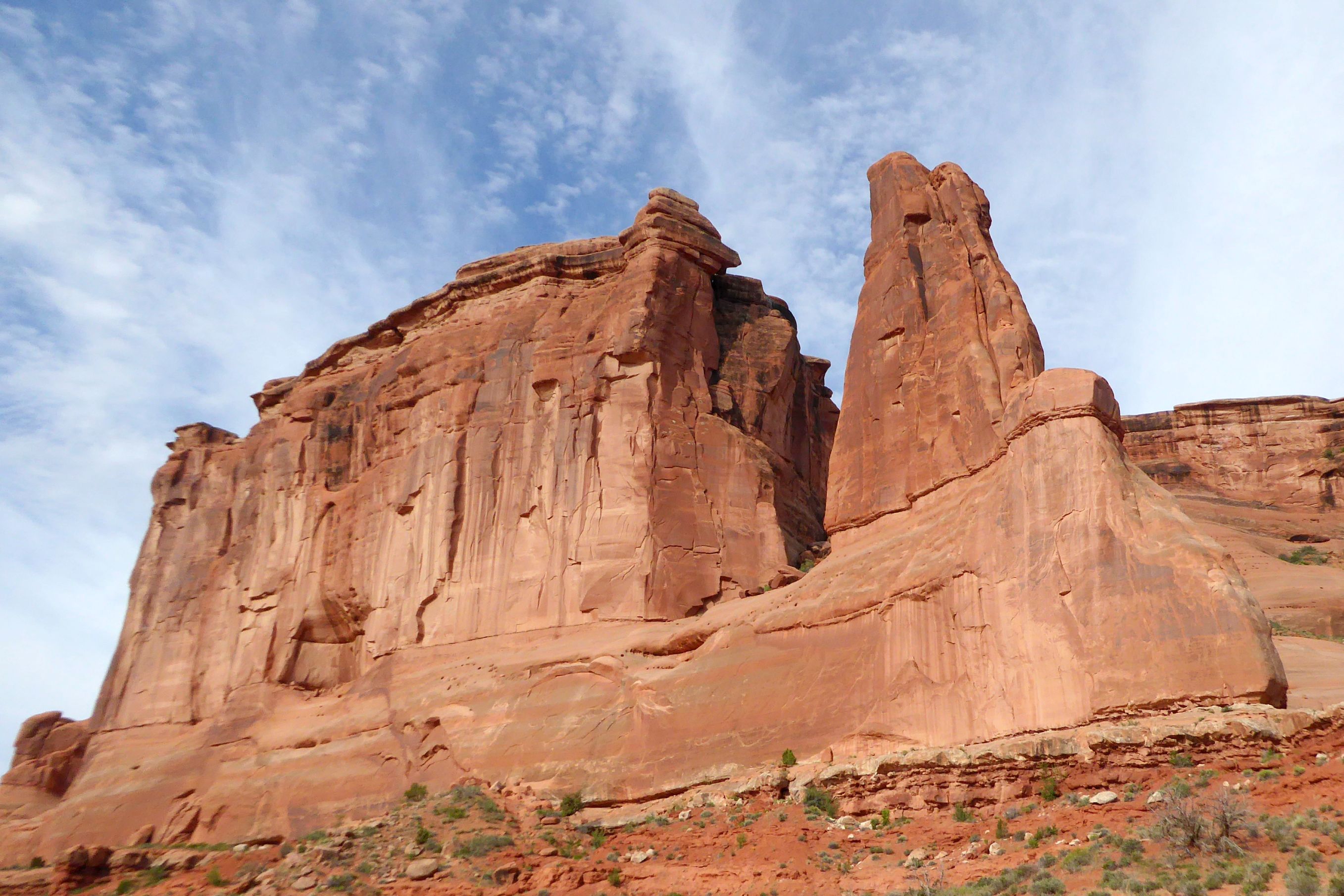
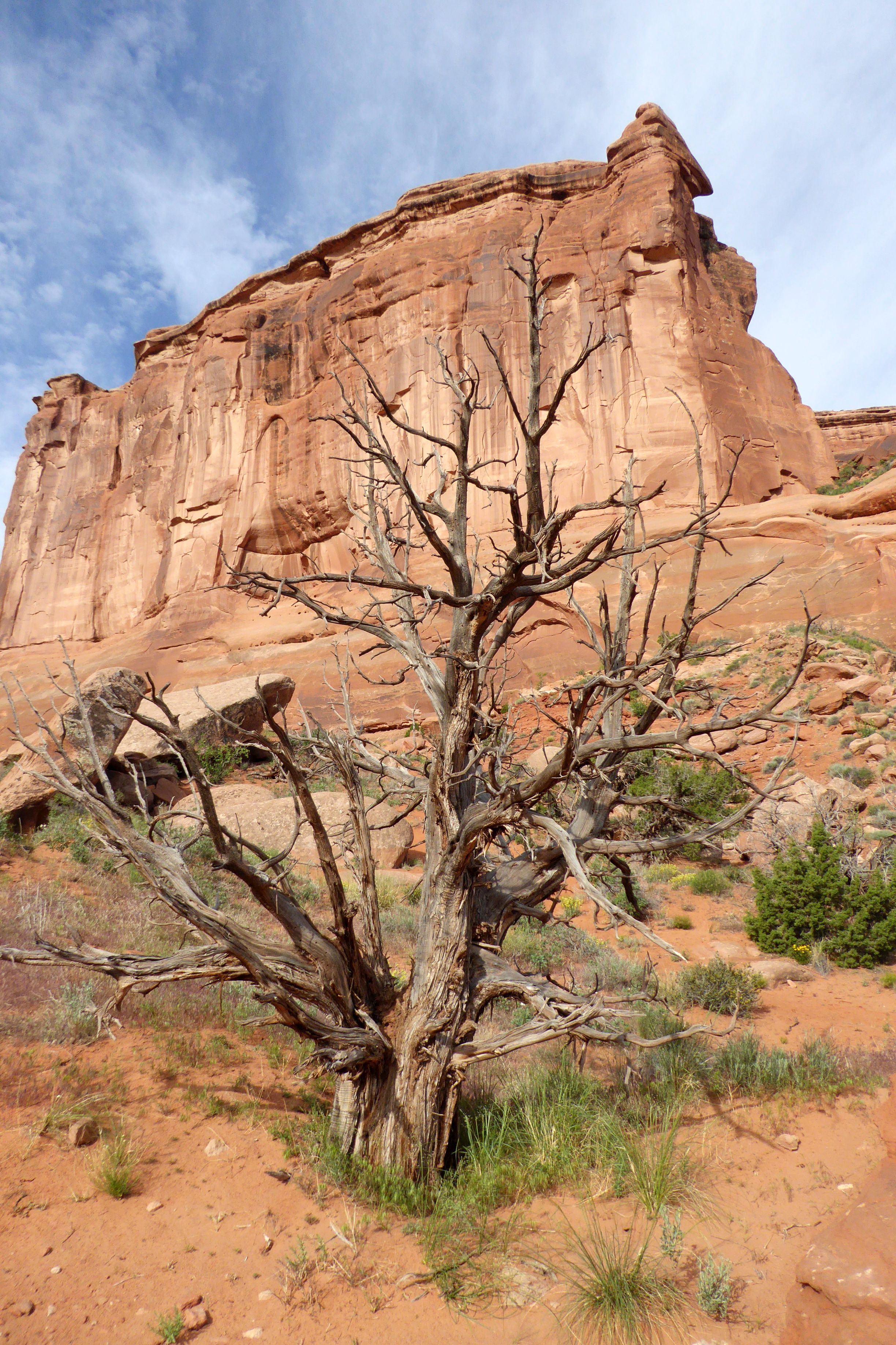
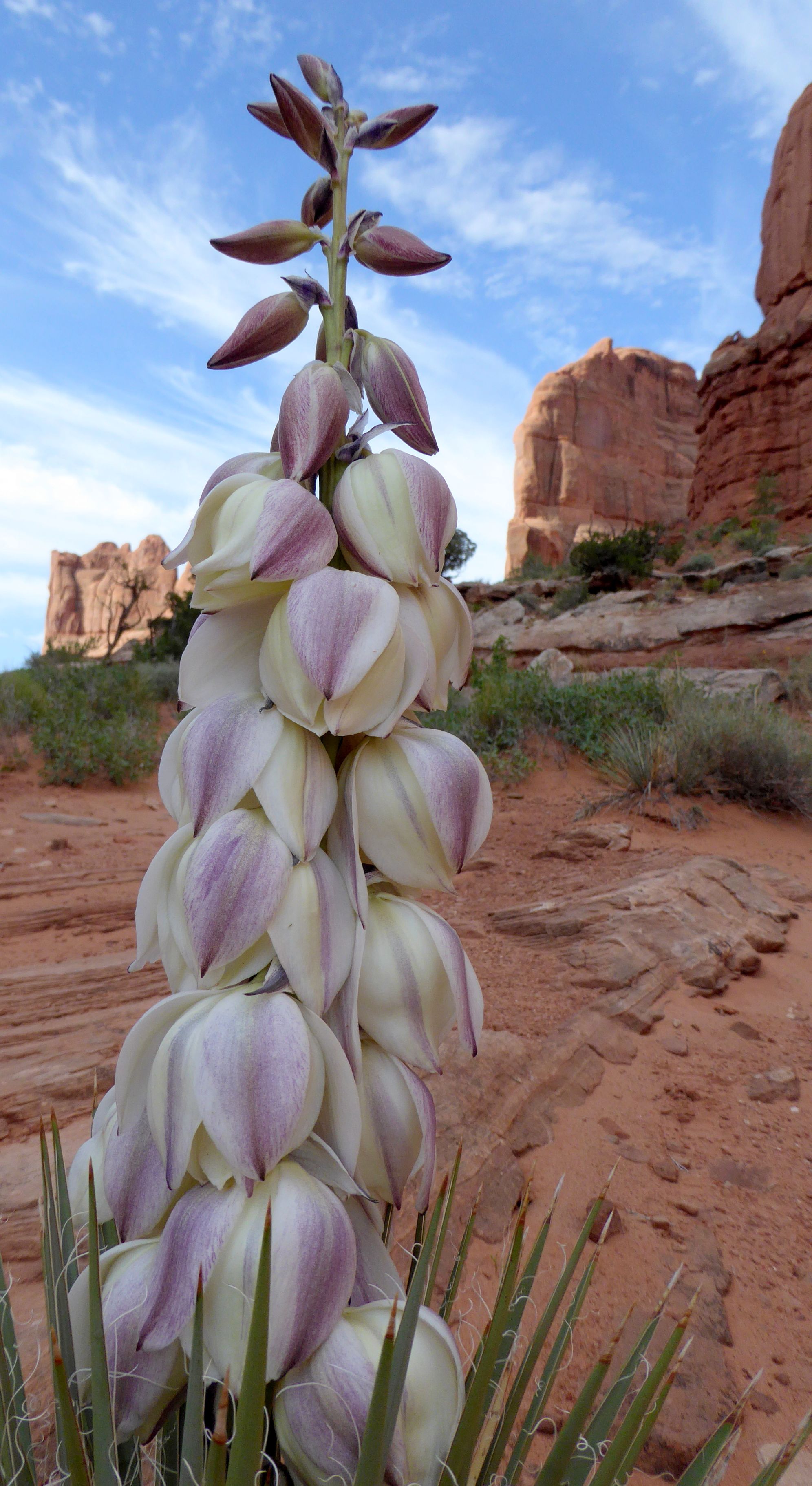
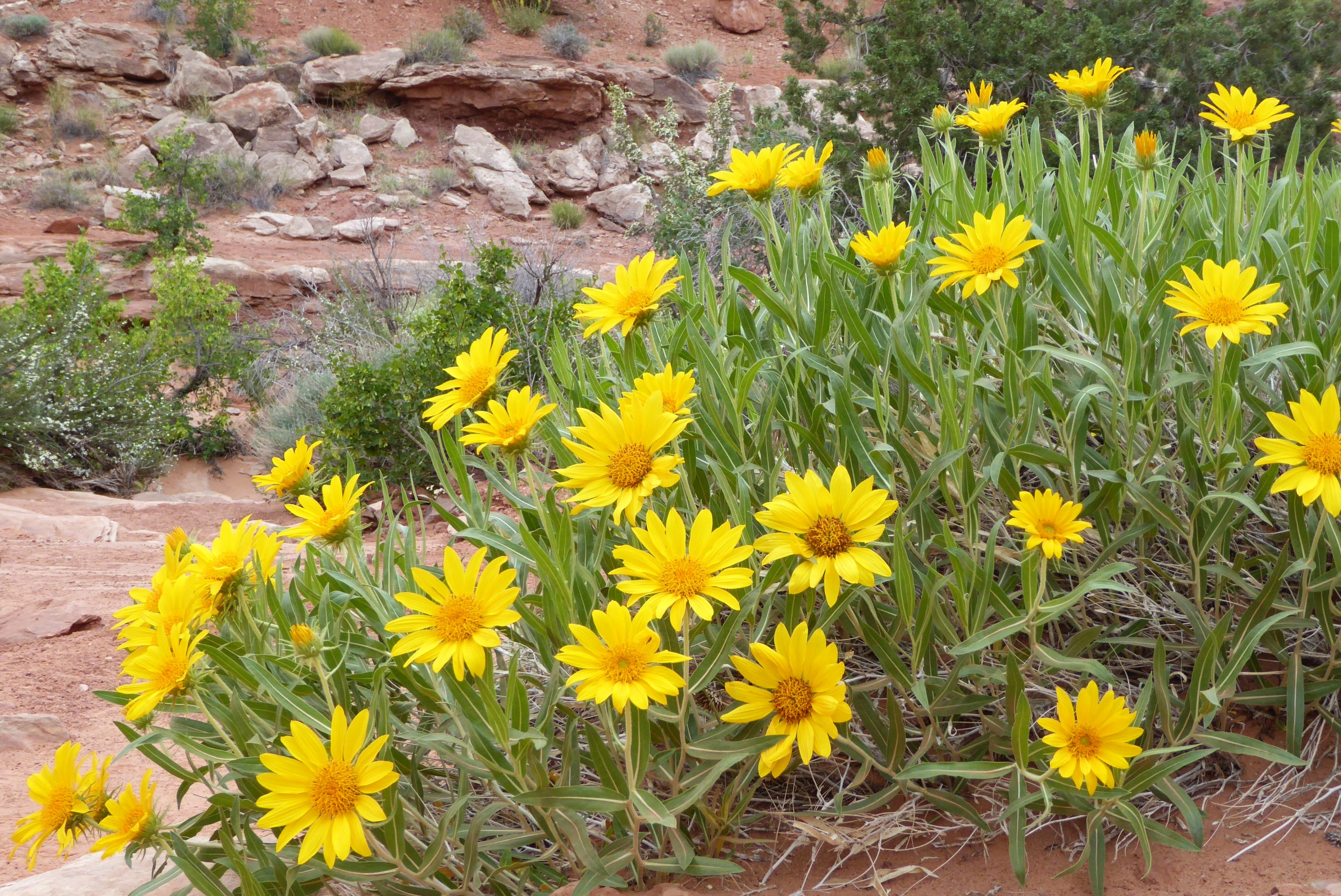


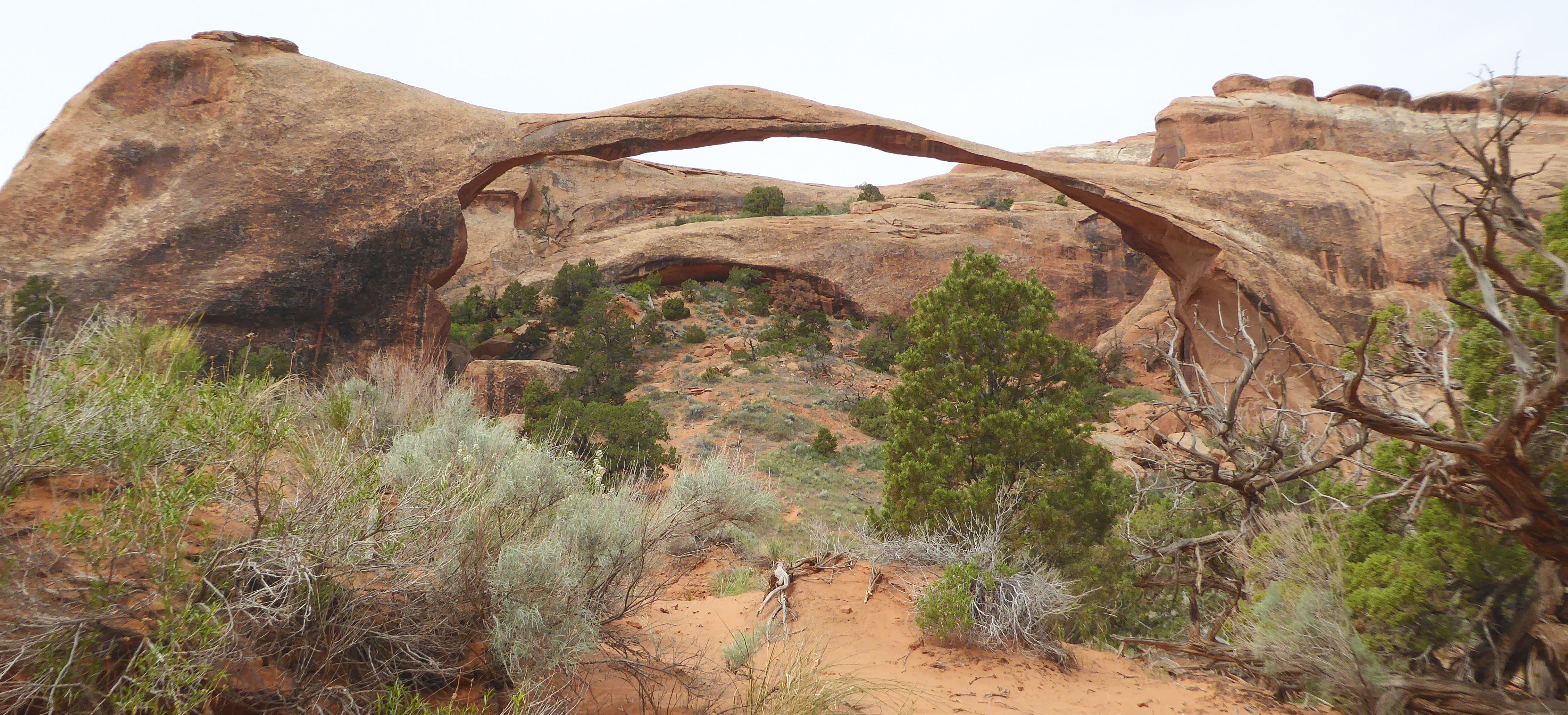
At Arches, we hiked small portions of the Delicate Arch Viewpoint Trail, Devils Garden Trail to see Landscape Arch, The Windows Trail, and Double Arch Trail.

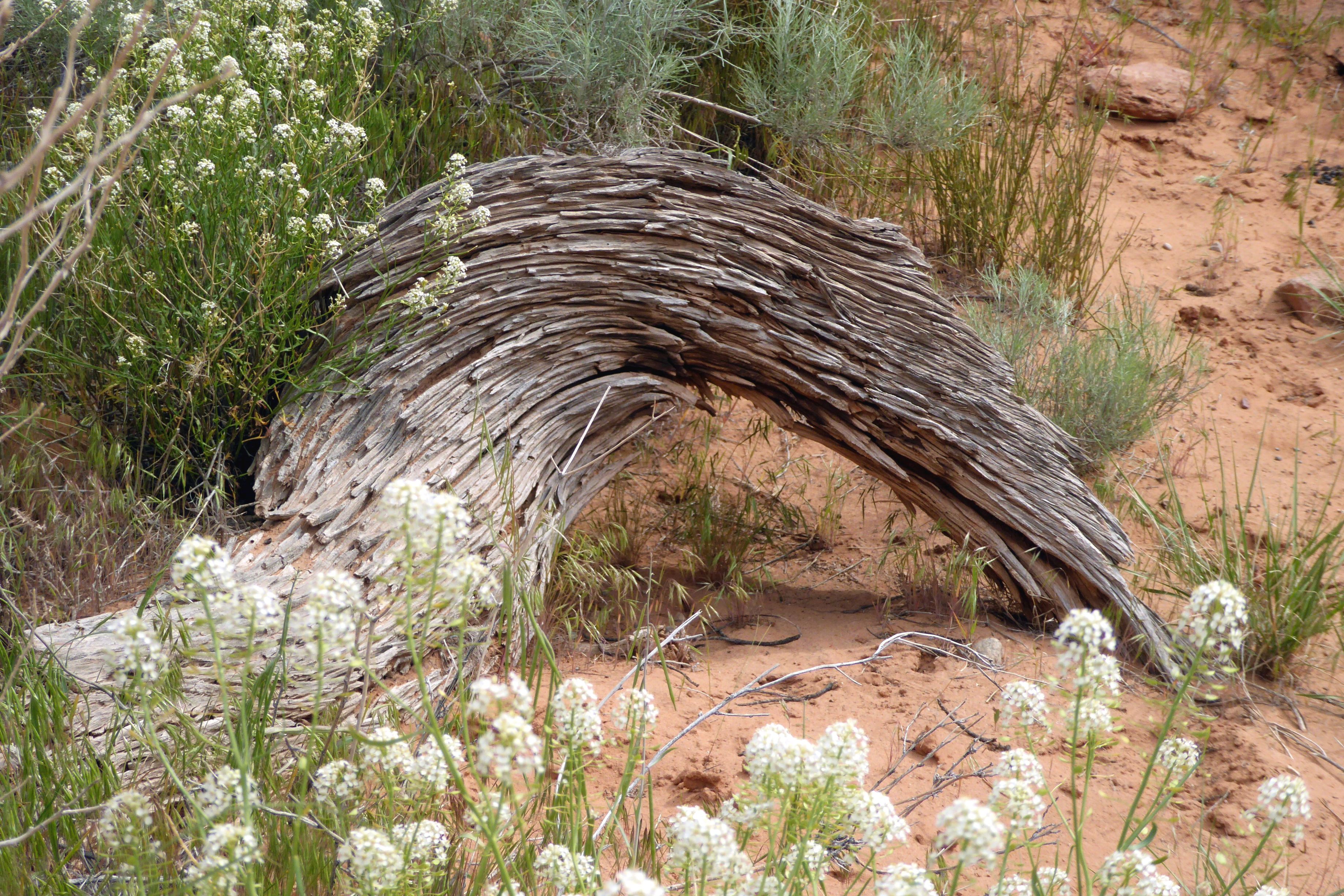










This food truck was the top-rated restaurant in Moab! The Sweet & Spicy Quesadilla was fabulous!

Coming up next: A Marvelous Museum & Magnificent Monument Valley
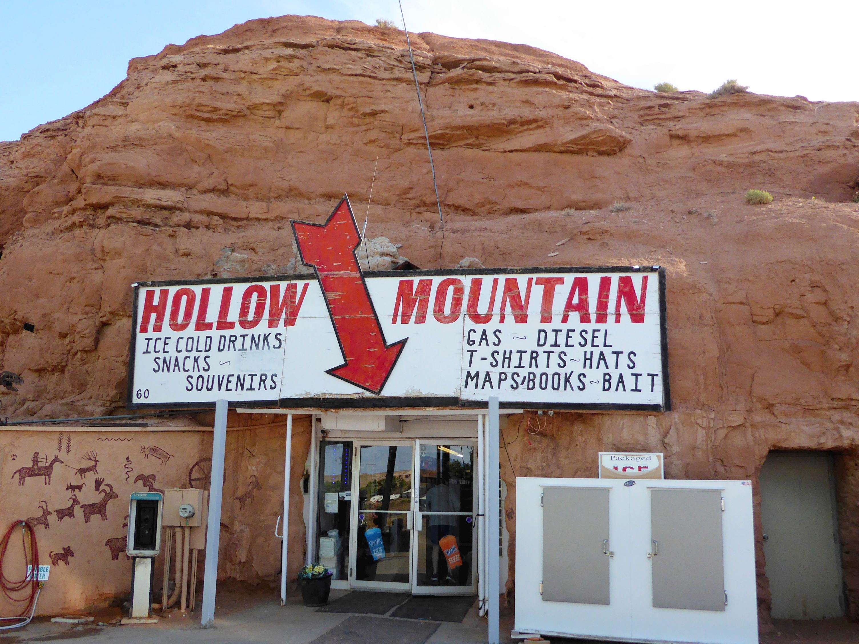
Continuing on our journey, we stopped to see John Wesley Powell Museum, in Green River, Utah. Powell first explored and mapped the area in the 1870’s. The museum is located on the river, and they had a lovely walking path we wandered along to take in the views of the river.
(For all pictures, click on the image to see full screen view.)


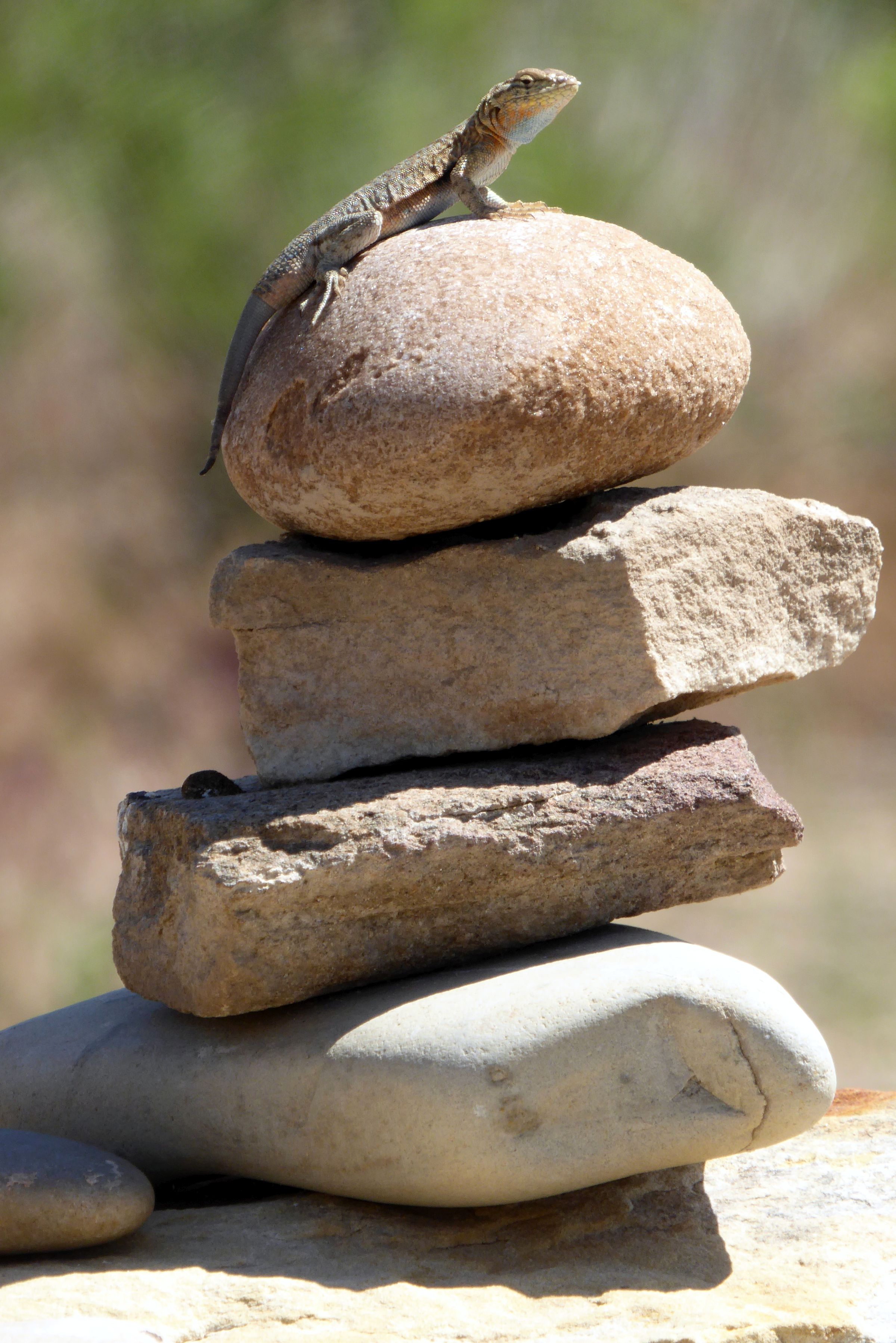
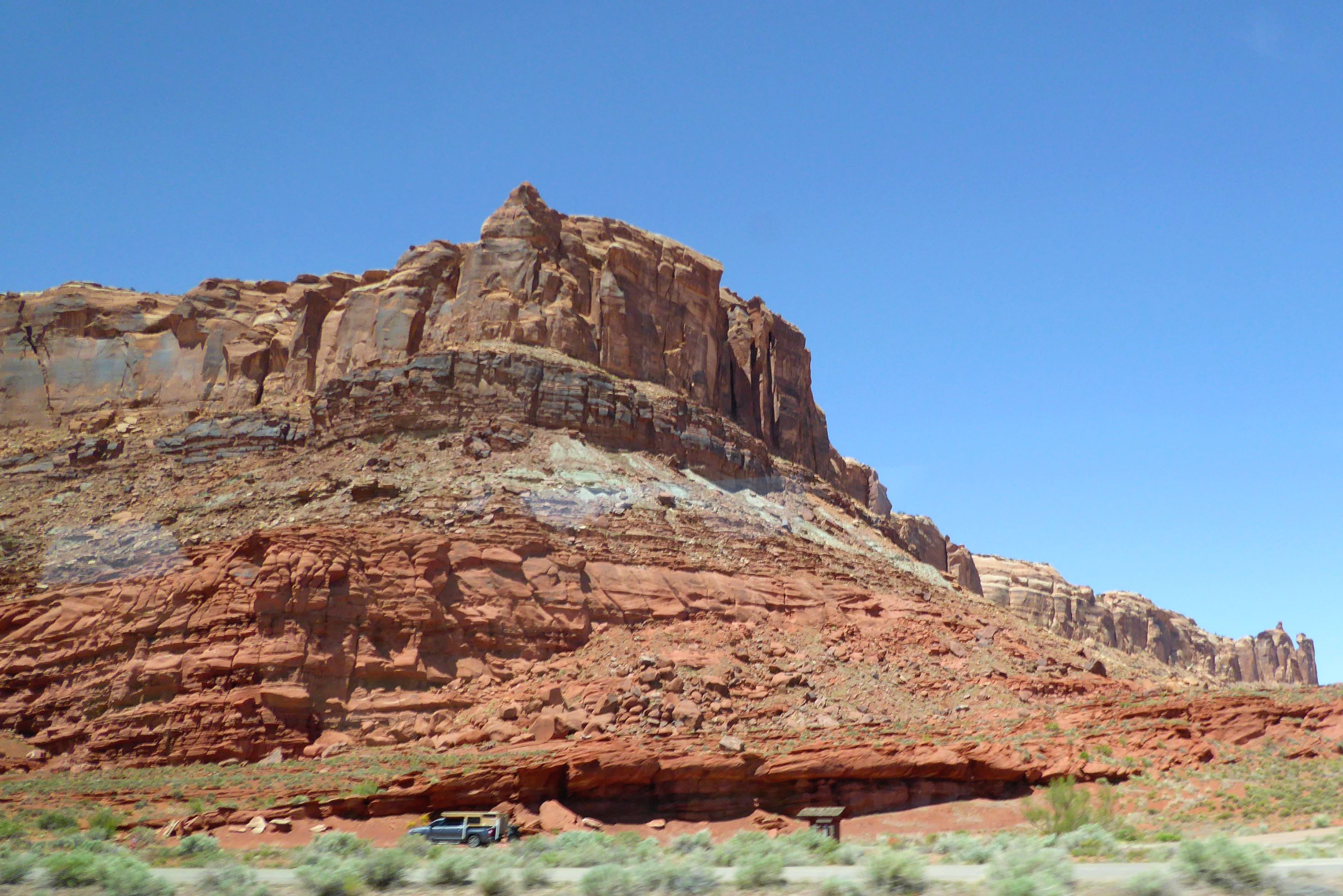
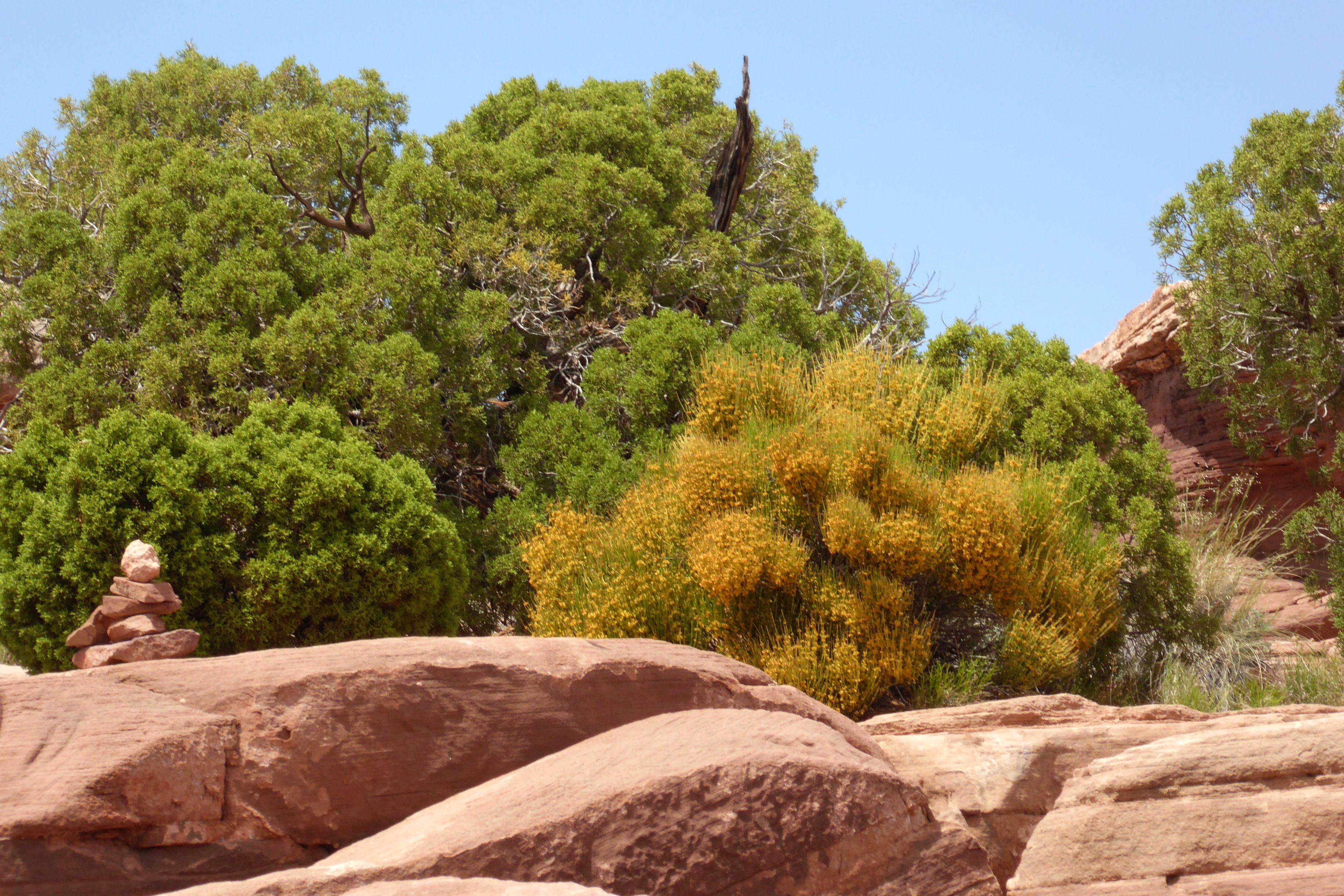
Dead Horse Point State Park was our next stop; and, yes, the “dead horse” was delightful! The park gets its name from a rock formation that looks like a horse, when viewed from up above at a distance. We took in the spectacular views from the visitor center, which had an attractive walking path with beautiful blooming cacti and trees all around.
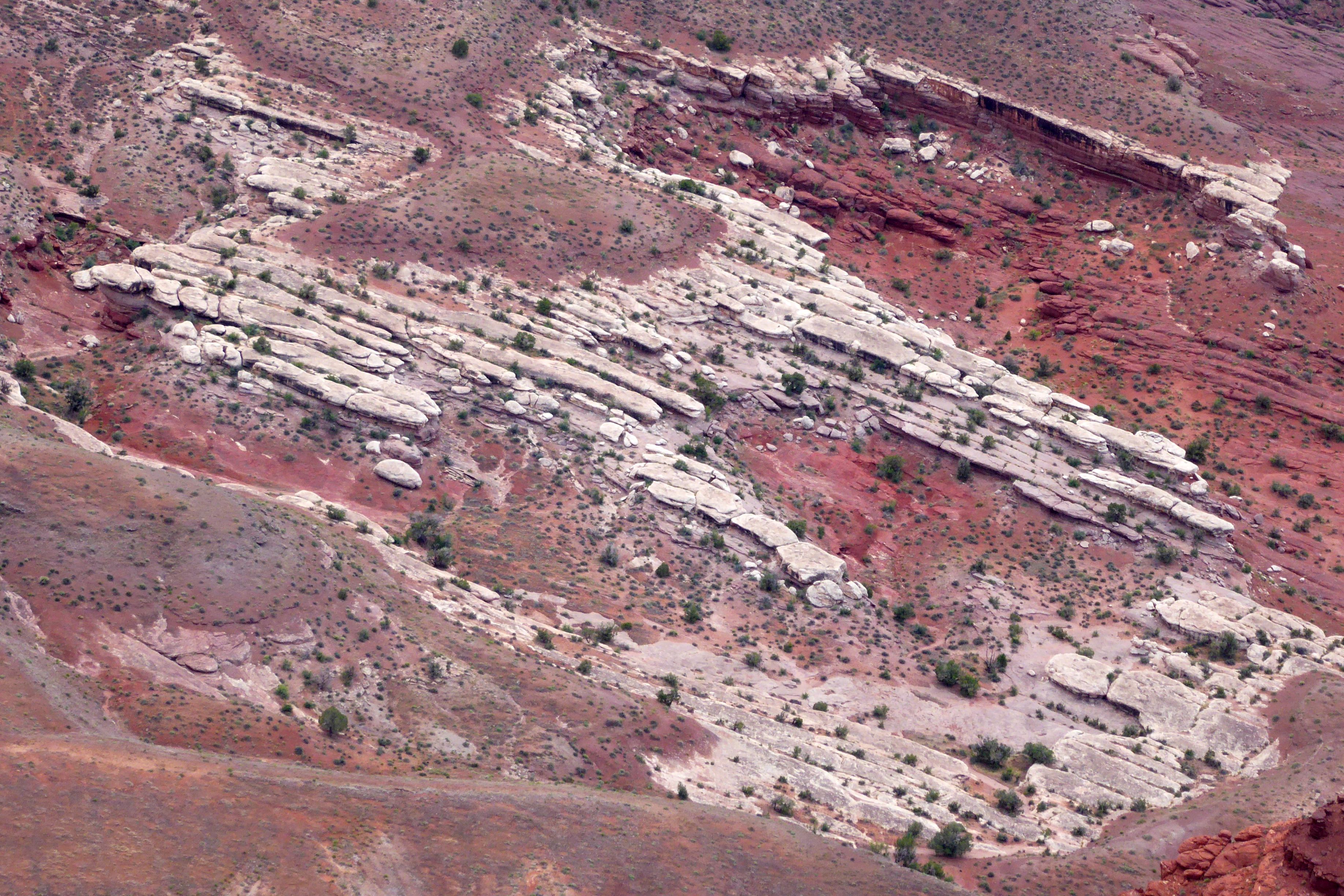
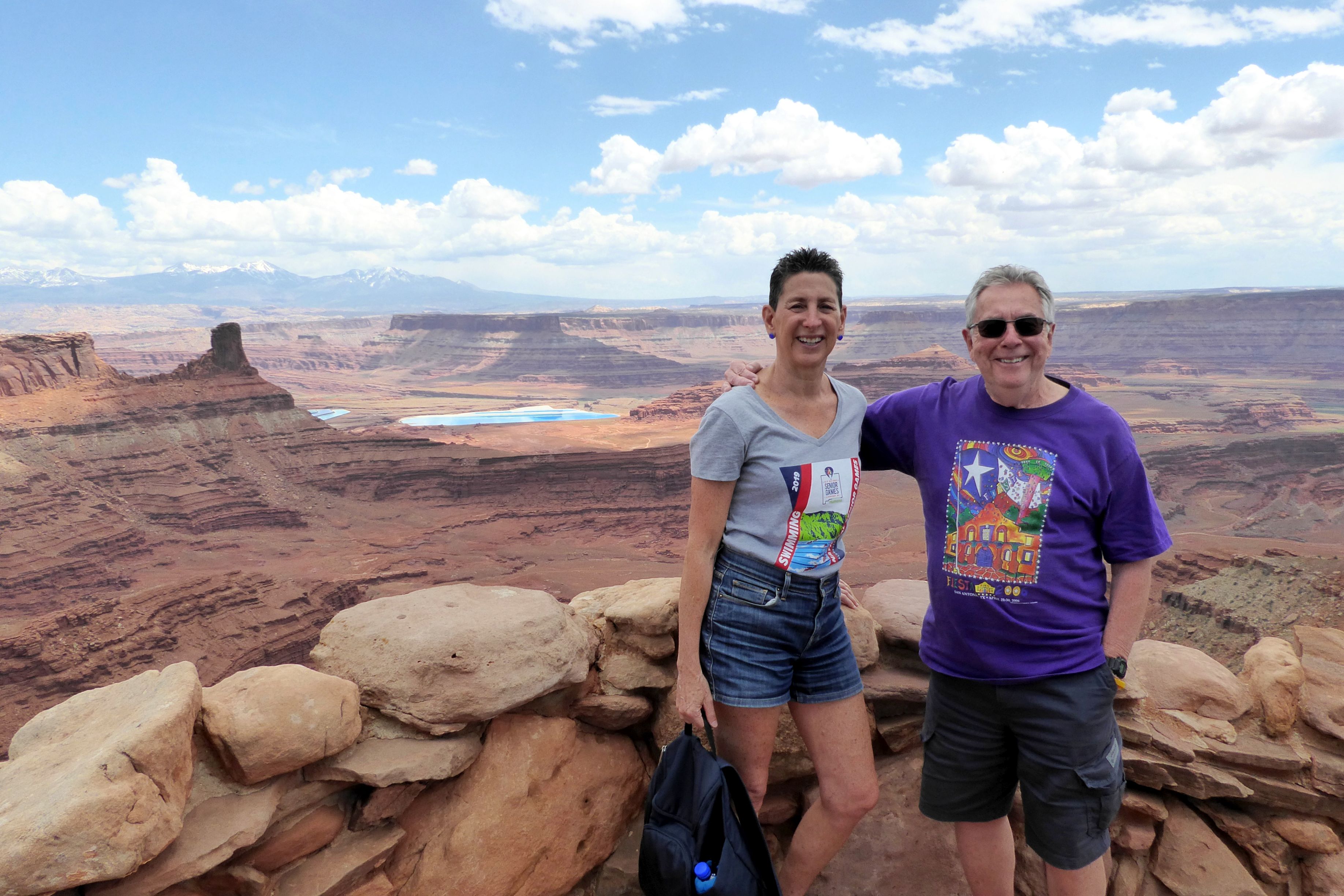


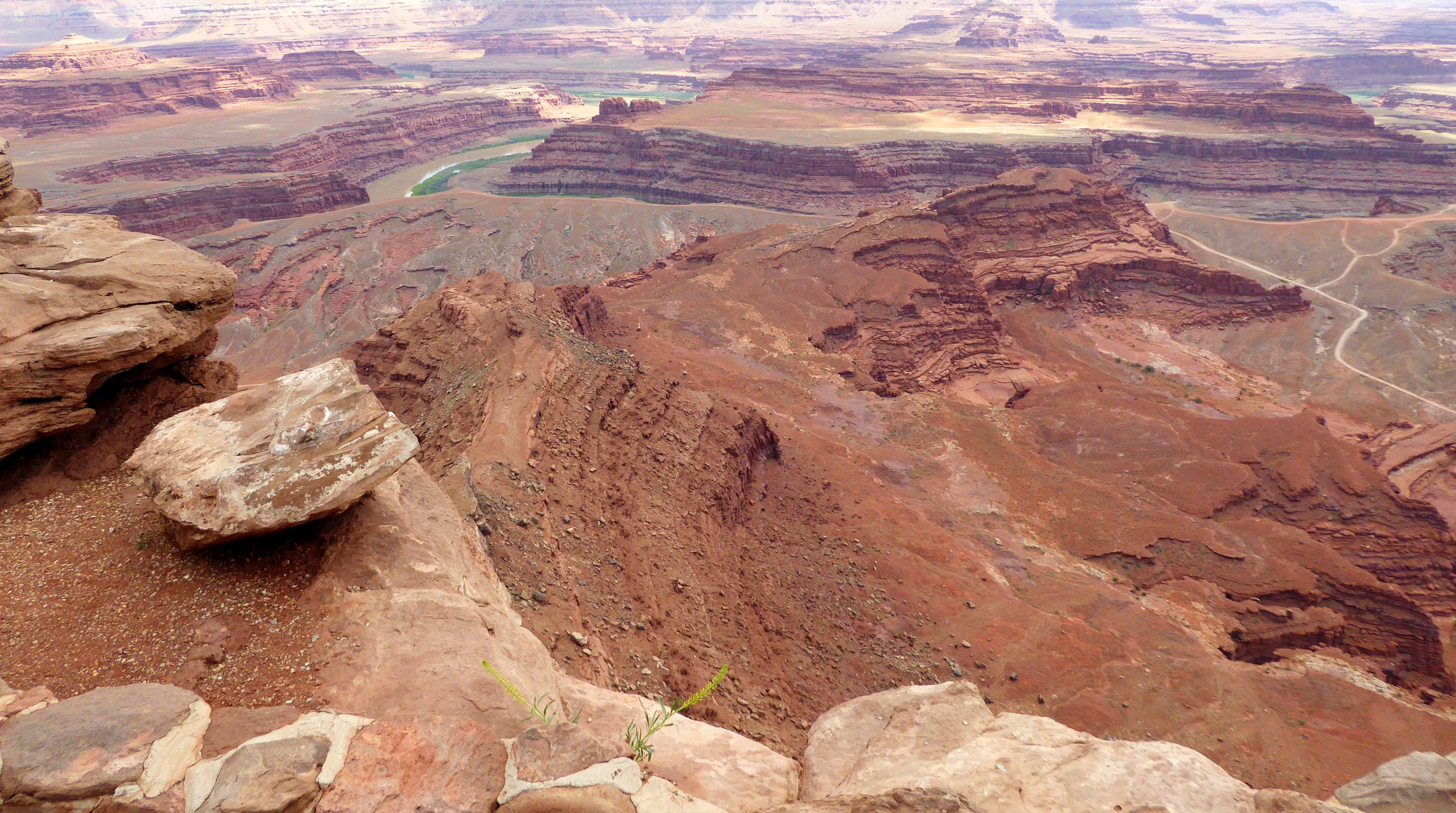


On a clear day, the visibility from the viewpoint can reach nearly 100 miles. It was hazy off in the distance, but we could see snow on the mountain tops. There were also a couple of bright blue pools that seemed completely out of place. They were solar evaporation ponds for a mine owned by Intrepid Potash, Inc. Potash is potassium chloride, a salt found in the Paradox Formation. Salt deposited from ancient seas made up this formation as it evaporated and was buried by other sediments.

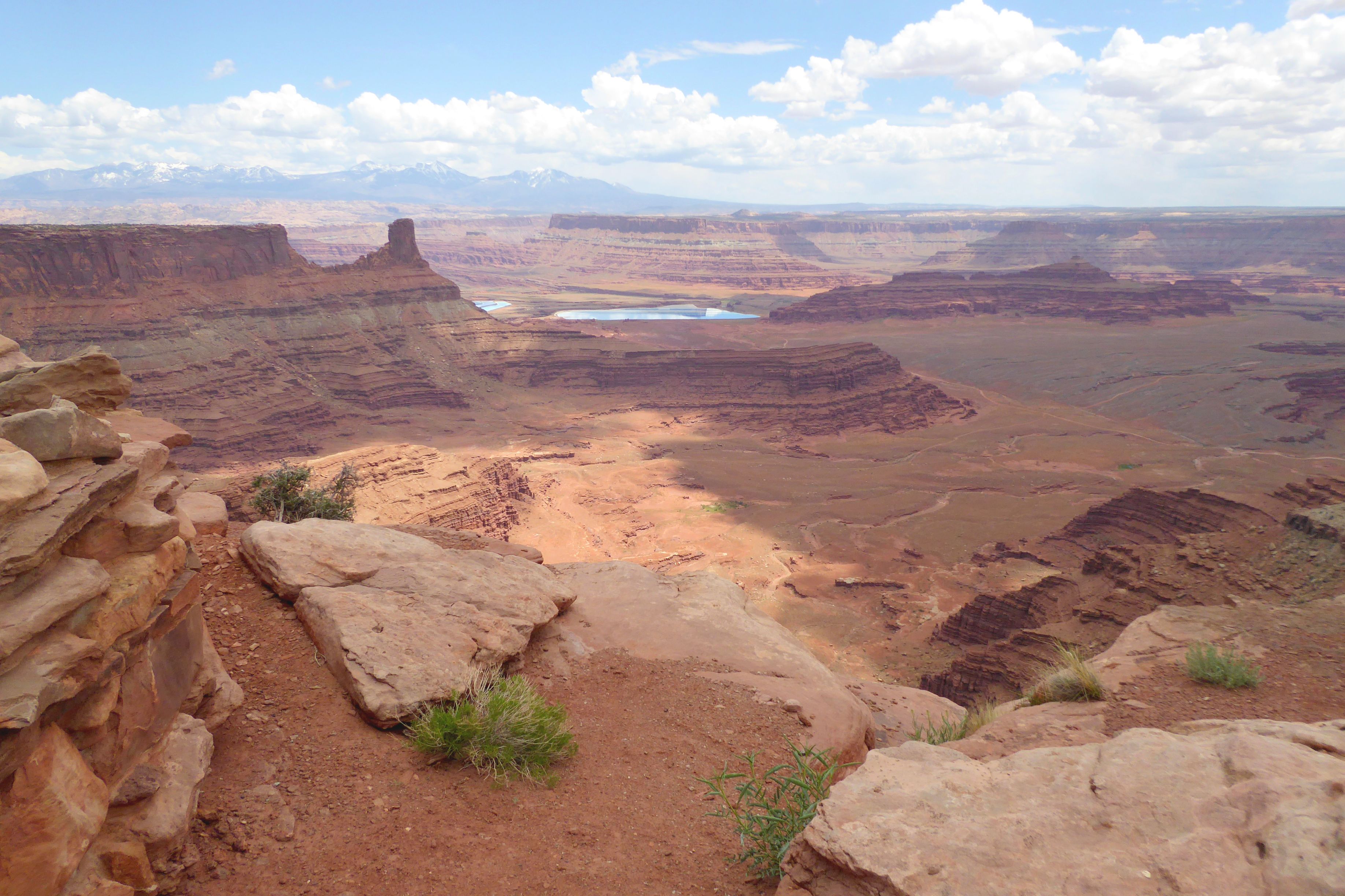
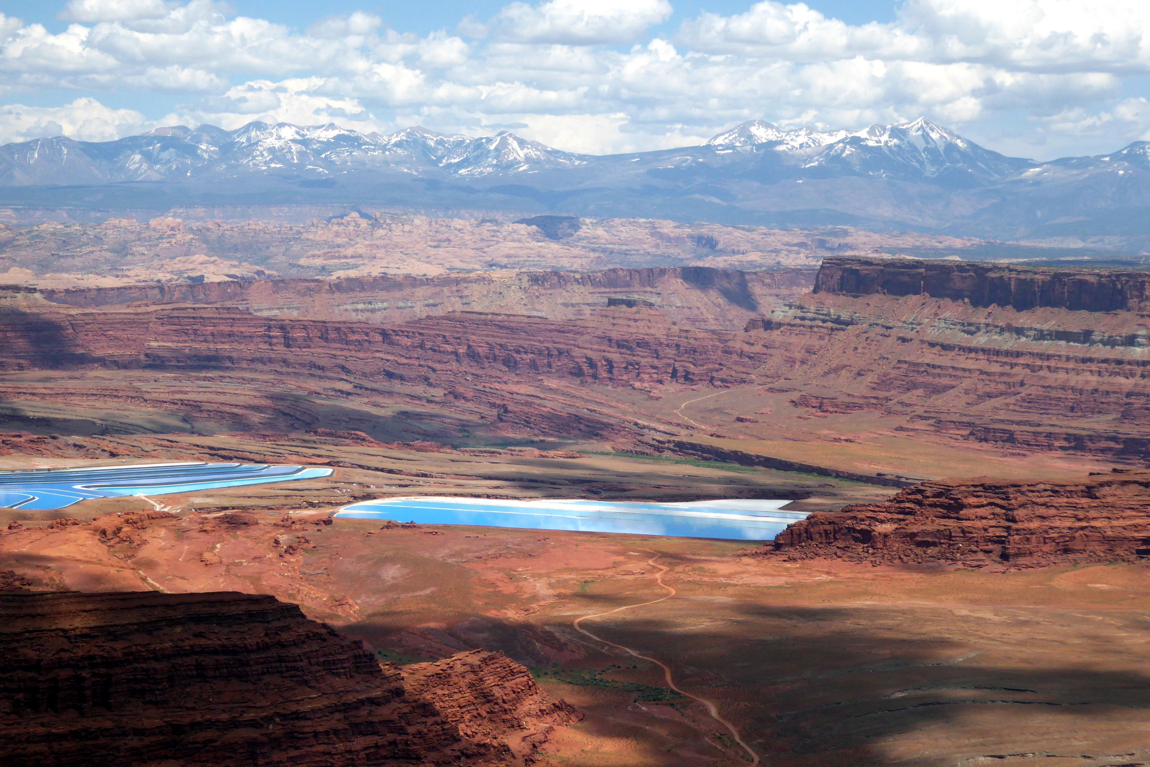
Water is pumped down into the formation to dissolve the salt. This salt water is then pumped into the shallow, vinyl-lined ponds. A blue dye is added to speed up evaporation.
Finally, twenty-ton scrapers, guided by lasers, harvest the dry salt. A local refinery transforms this concentrated form of potassium chloride into plant fertilizer.
I was truly baffled, seeing this in the middle of a state park. I didn’t know what to think…
Our next stop was at Grand View Point, which provided great views of Canyonlands National Park below.
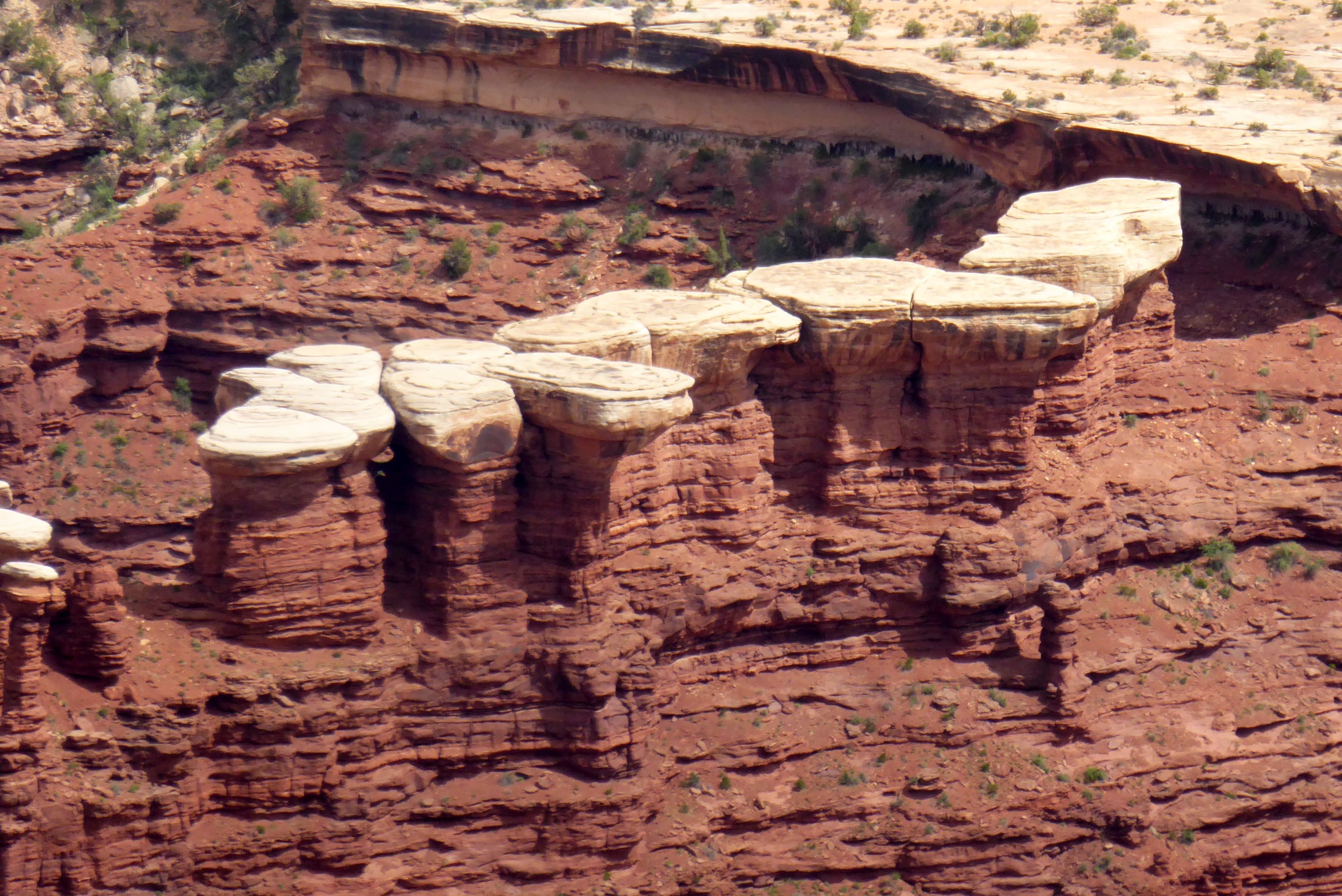
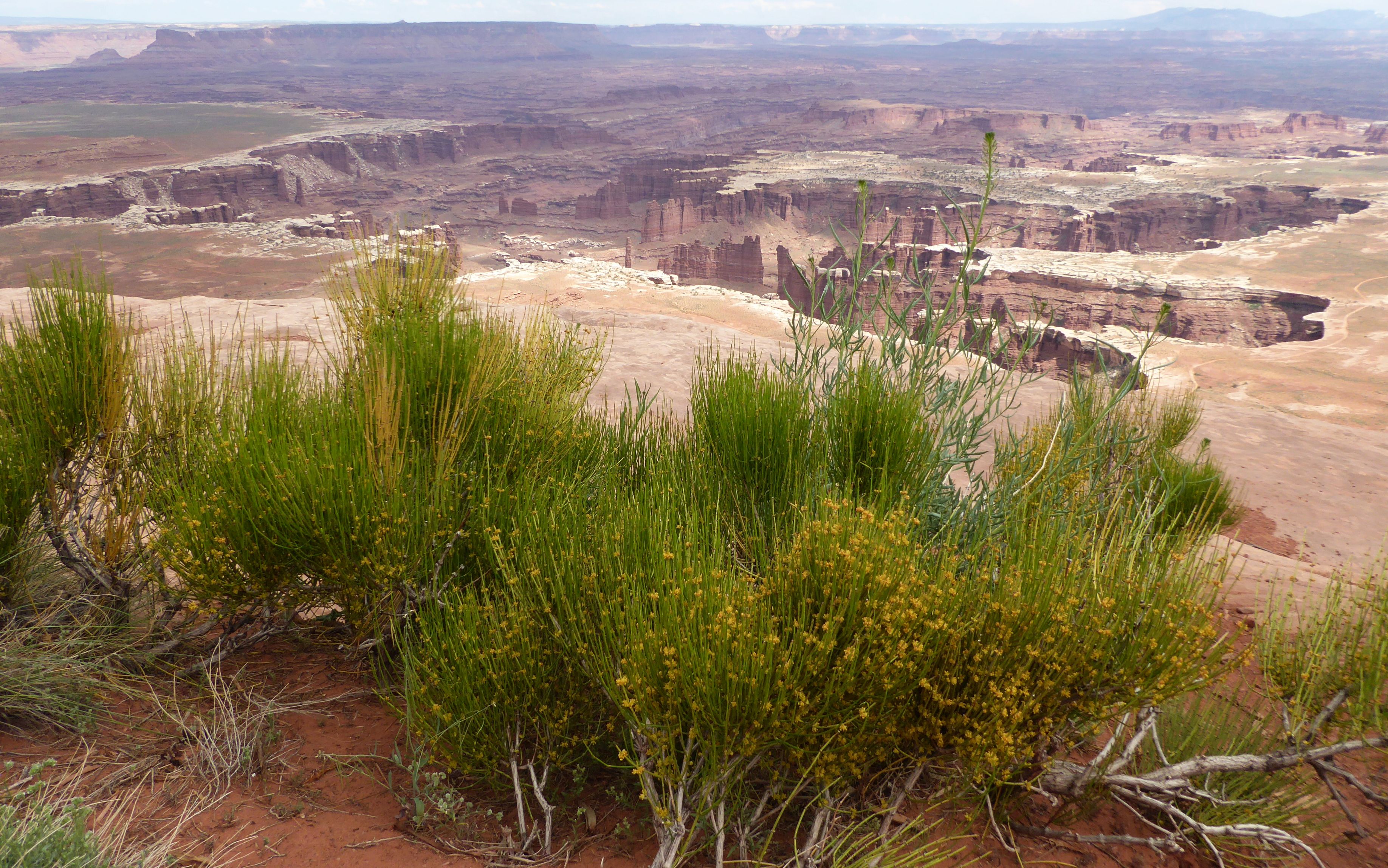
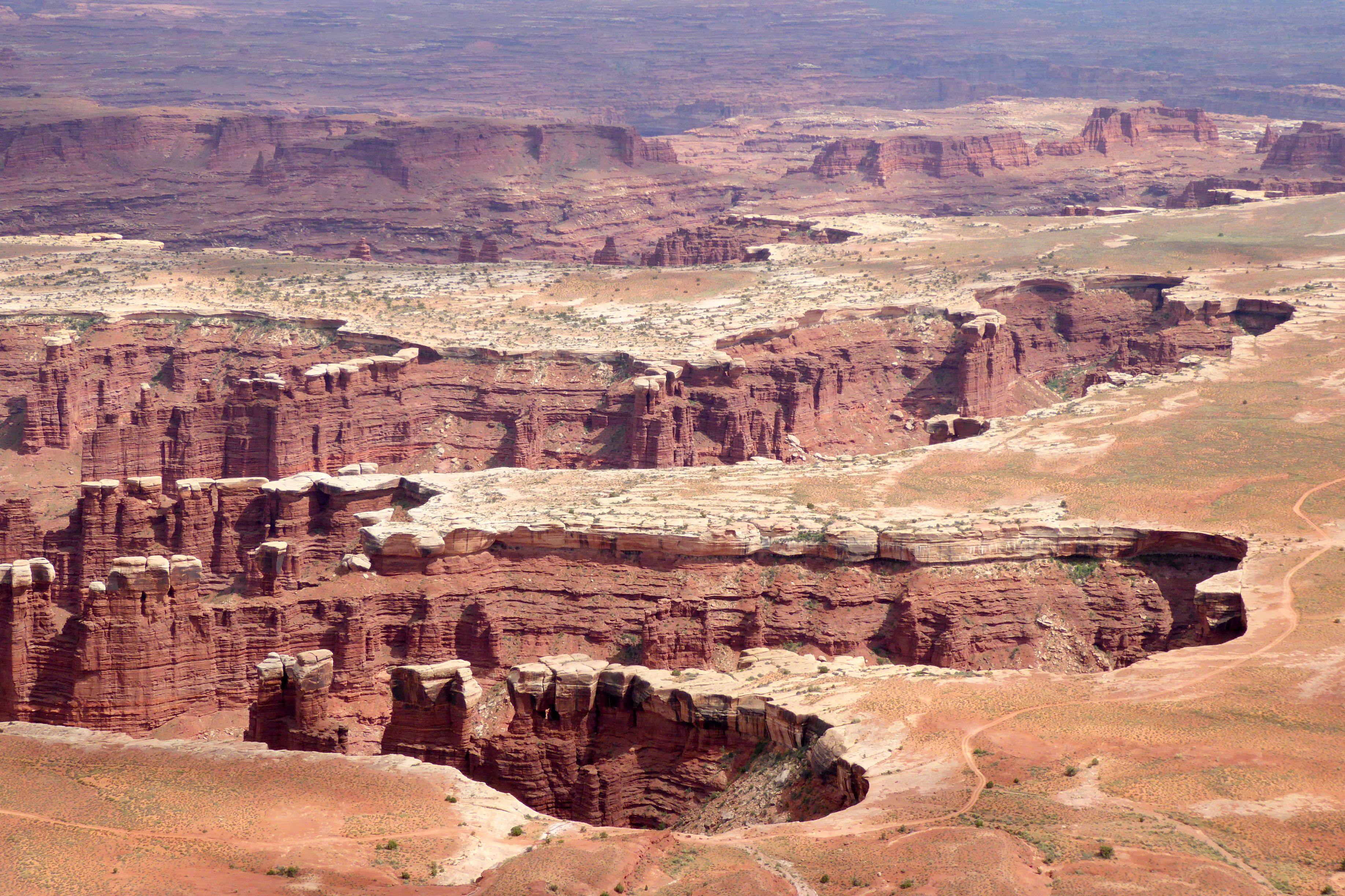
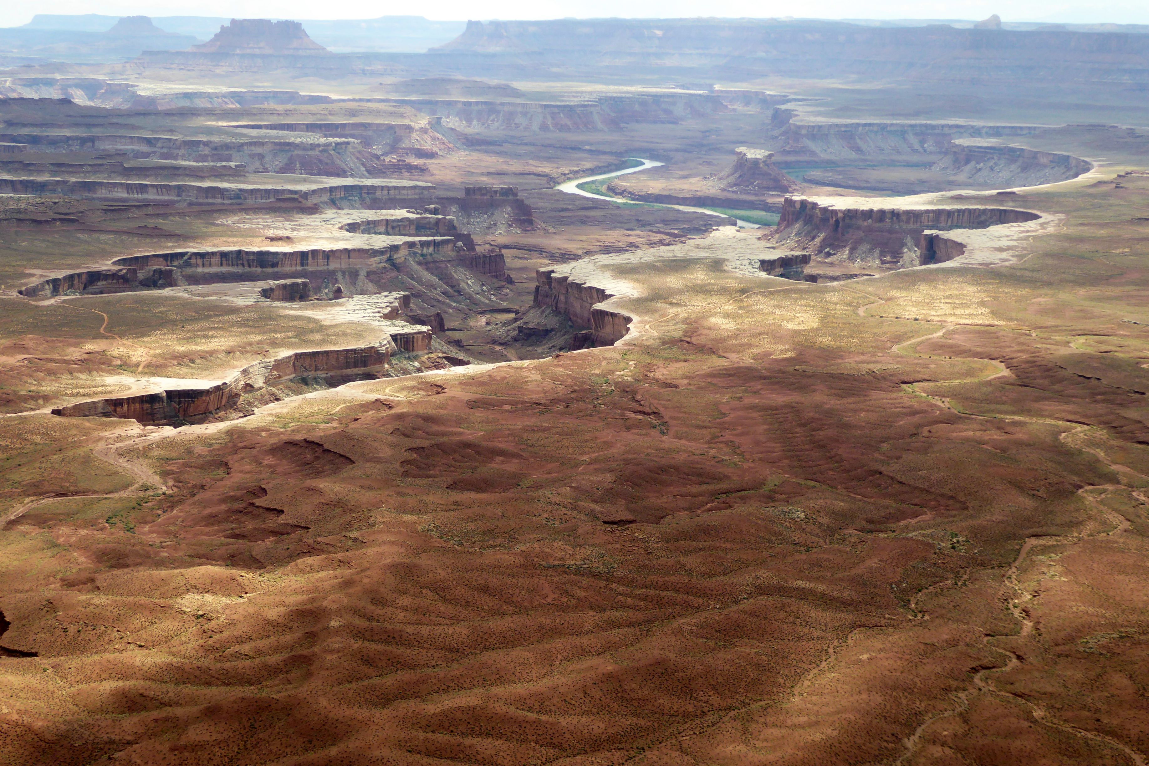
Green River Overlook was our last stop in Canyonlands. At 6,000 feet elevation, it provided a great perspective of Green River down below – especially since we had walked along the riverbank earlier in the day.
We continued on to Moab, our base for the next two nights. Moab Diner had good ratings on Trip Advisor, and I enjoyed a tasty, fresh salad there; so, it deserves a shout-out and my last photo of the day.

Next up: Amazing Arches National Park

