Catania, Sicily’s second-largest city, was founded in 8th century BC and was once among Italy’s most important cultural centers, particularly during the Renaissance period. This was our final “home base” for three nights before embarking on our post-tour extension to the Amalfi Coast and Naples.
Located on the east coast of Sicily, the densely populated city of nearly 300,000 residents has a metropolitan population of over one million people. The industrial center of Sicily, Catania is also its logistical and commercial hub. It is known as the “Black City,” because black lava stone was commonly used in construction.
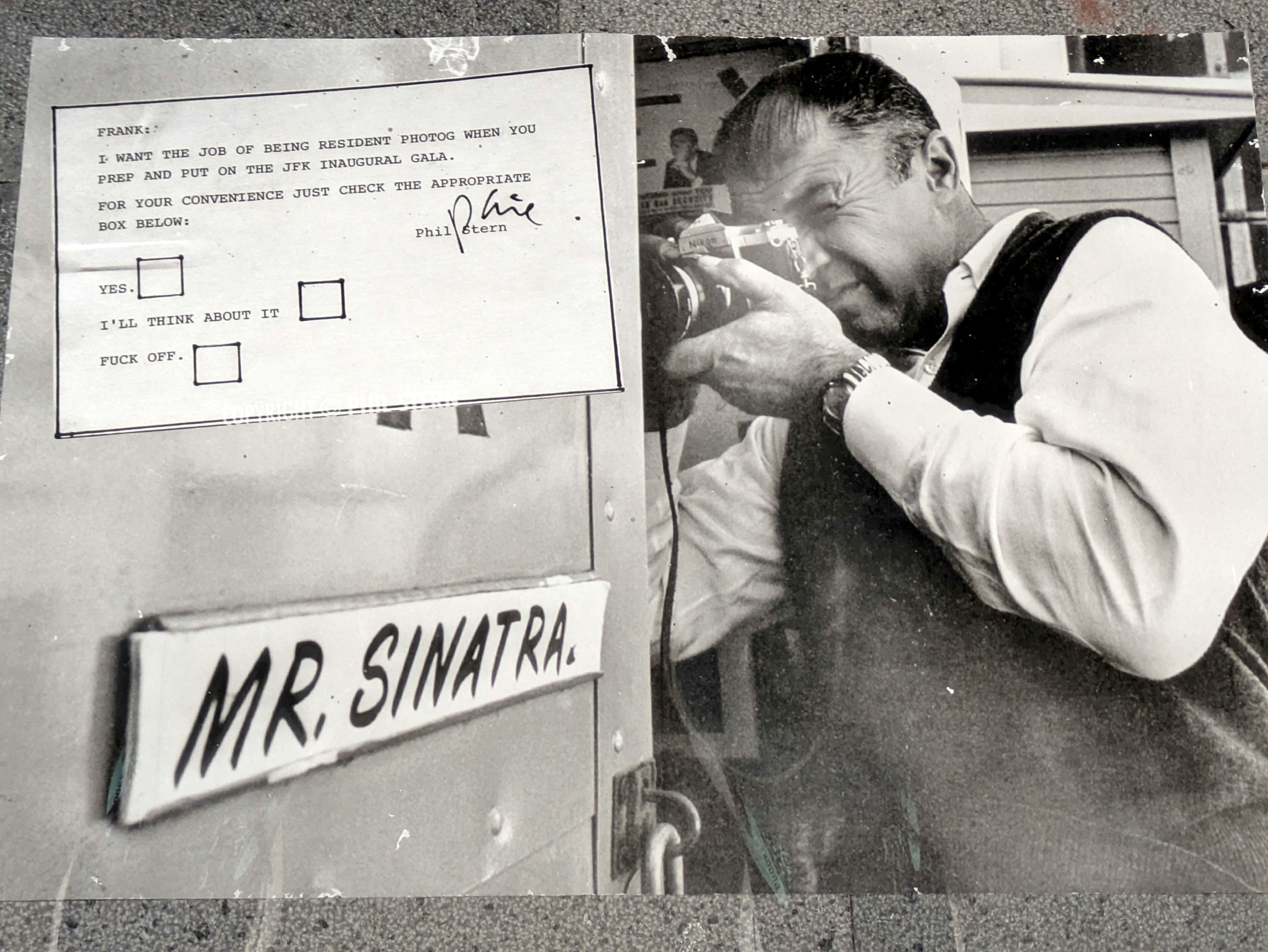
We arrived in the late afternoon following our visit to Sircusa and had a walking tour of the city the next day, after visiting the World War II Museum, Museo Storico dello Sbarco. Military and war museums are a hard pass for me, but I did manage to stumble upon an excellent photography exhibit featuring the works of Phil Stern (1919 – 2014).
Best known for his portraits of Hollywood stars and musicians, this exhibit mostly featured his work while serving as a U.S. Army Ranger during World War II. But what caught my eye (and made me laugh!) was something he sent to Frank Sinatra. Make sure to read it in its entirety.
(For all photos, click on the image for a full screen view.)
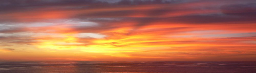
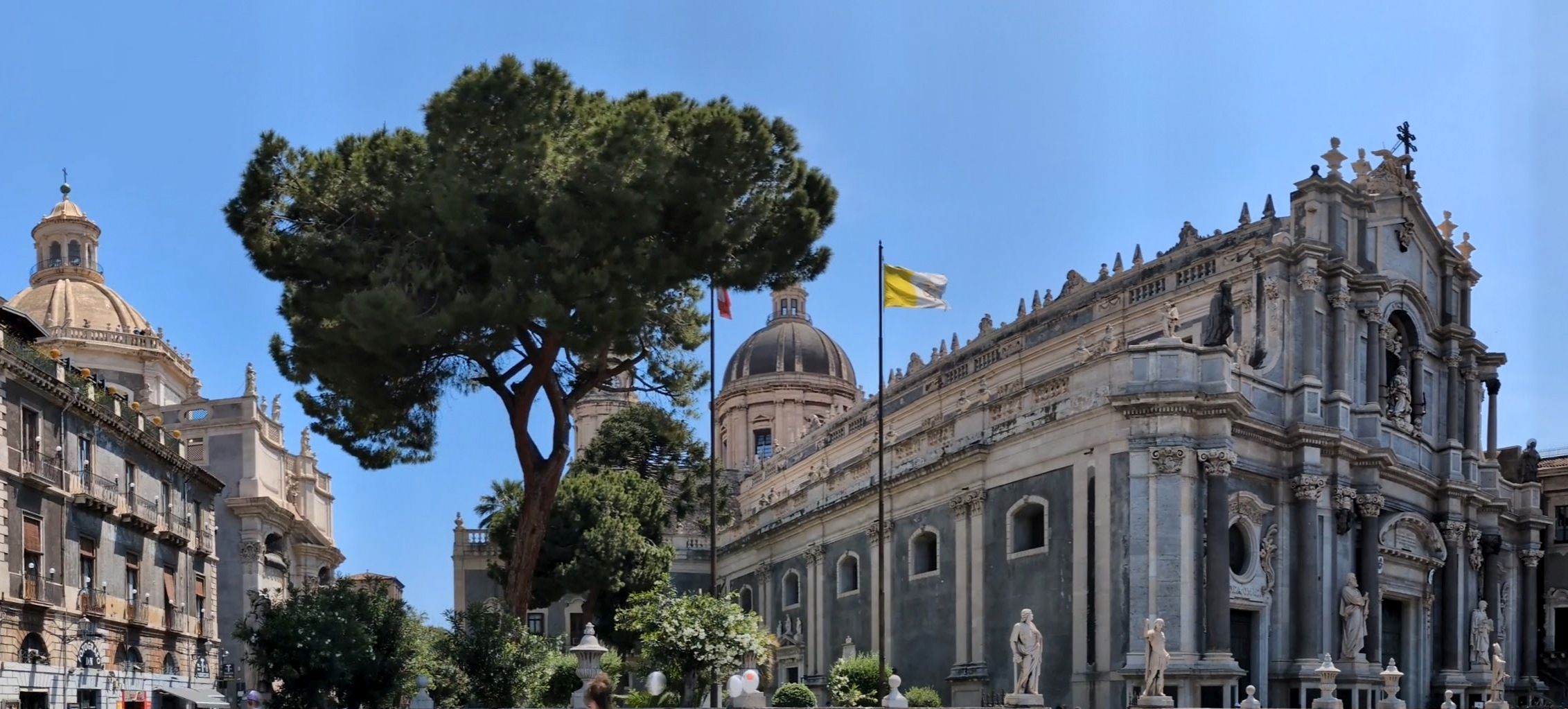
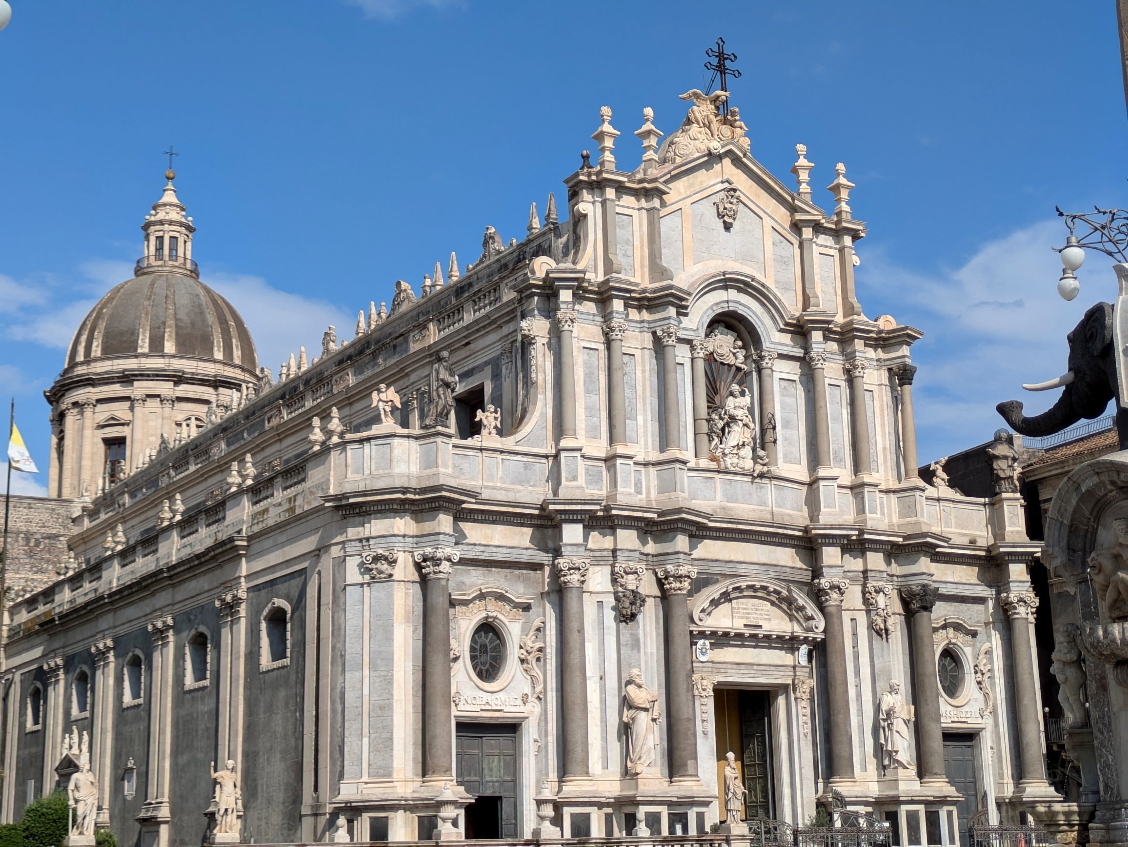
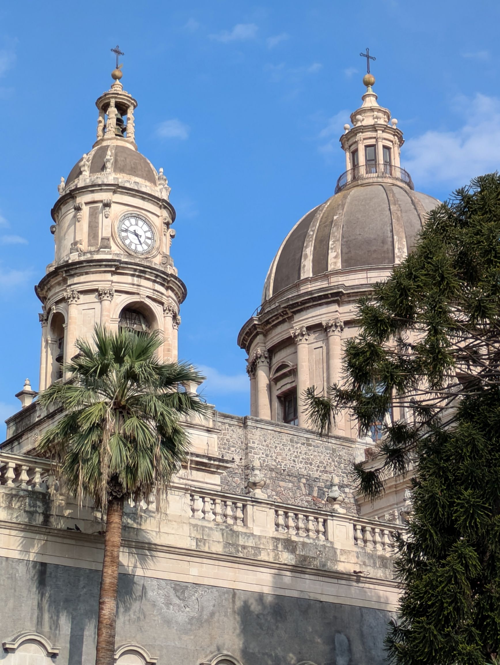
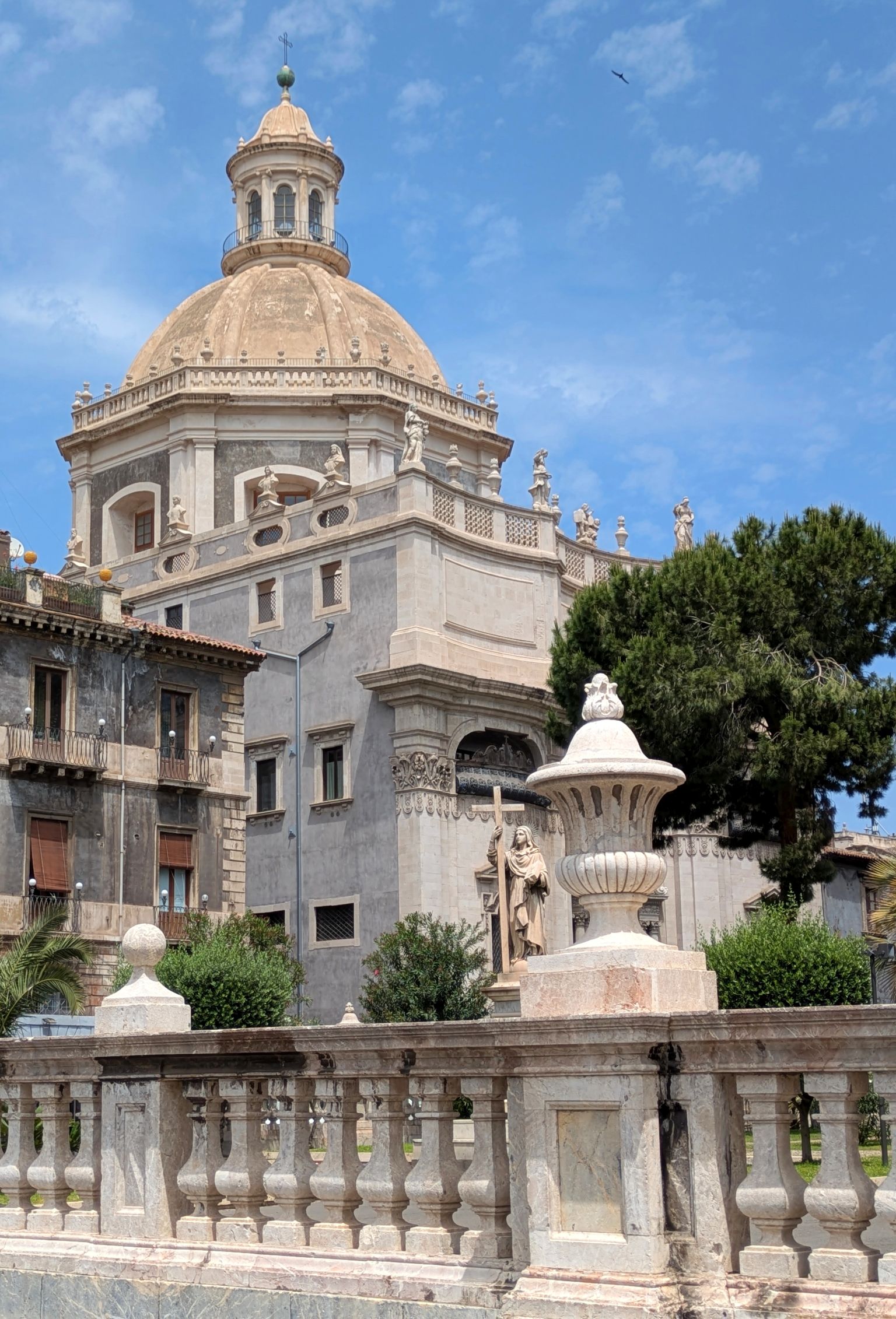
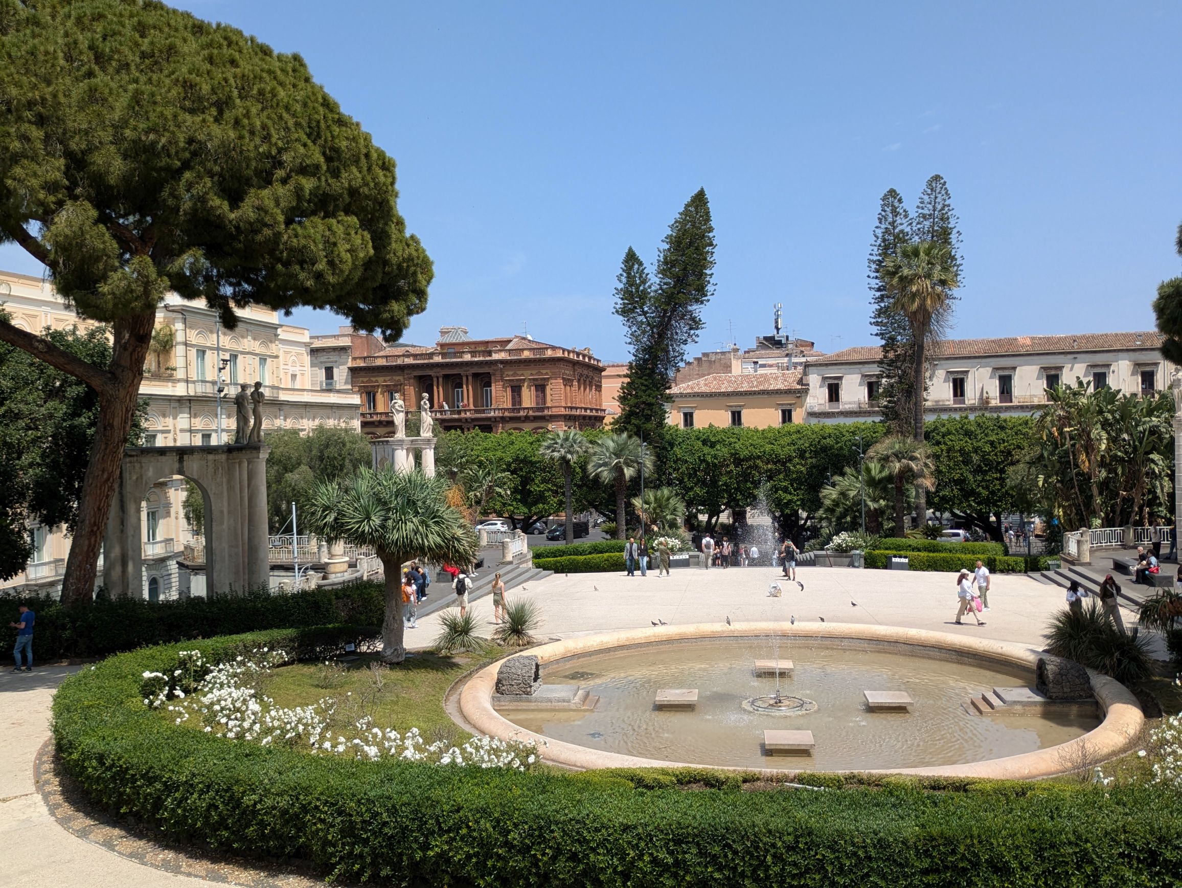
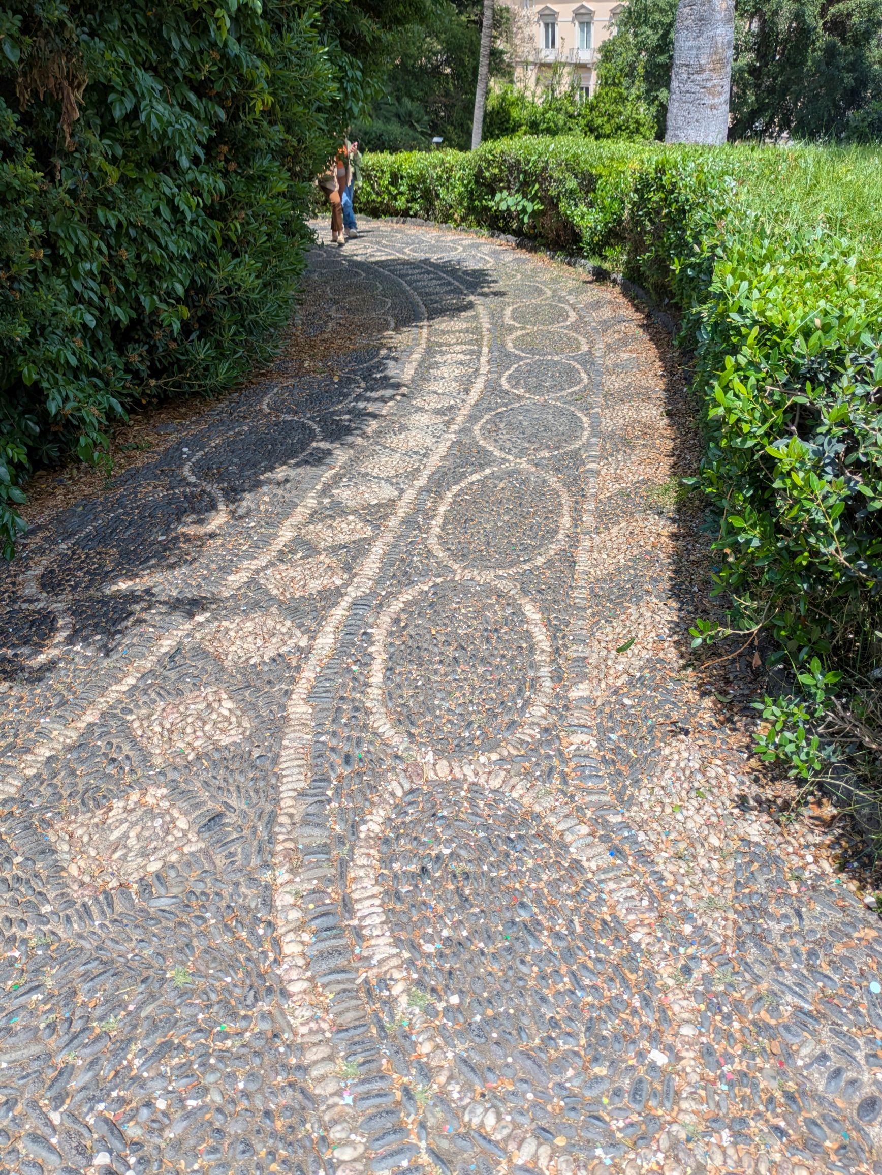
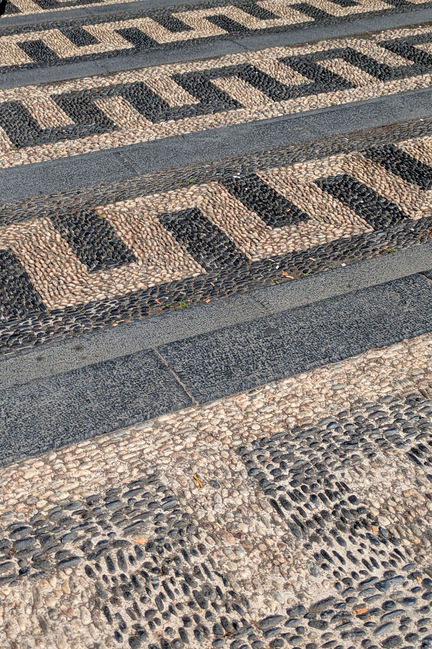
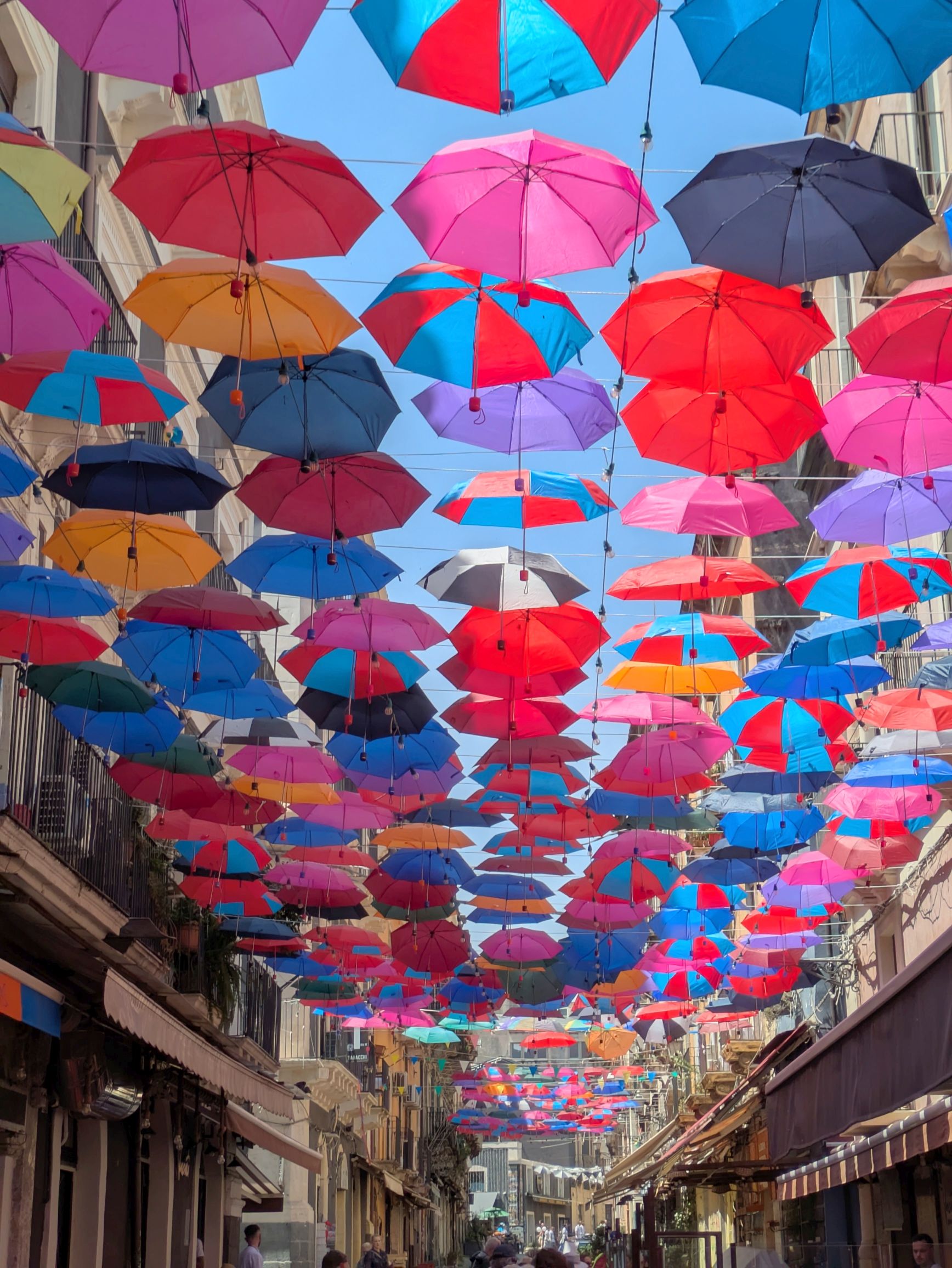
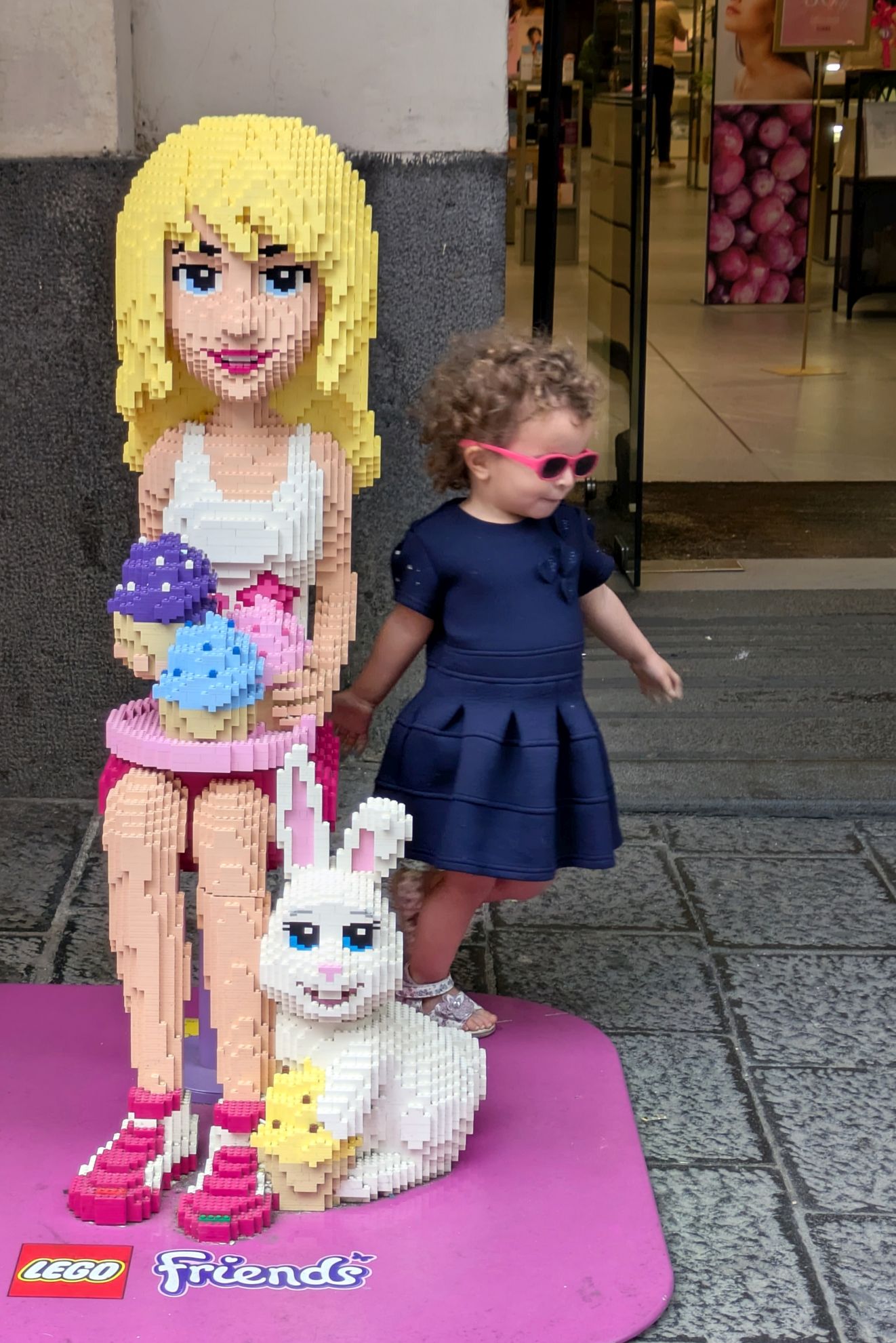
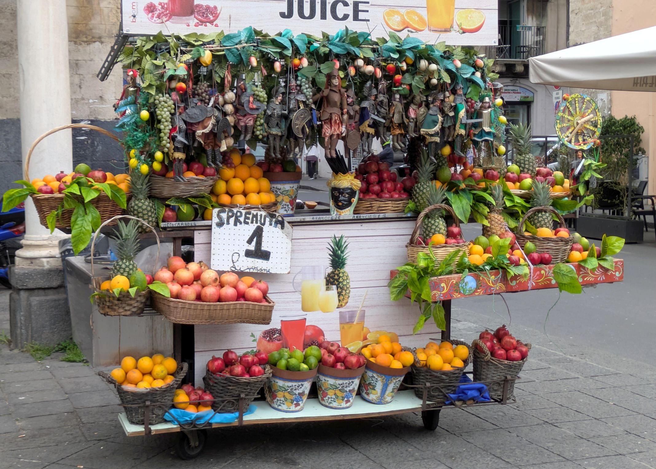
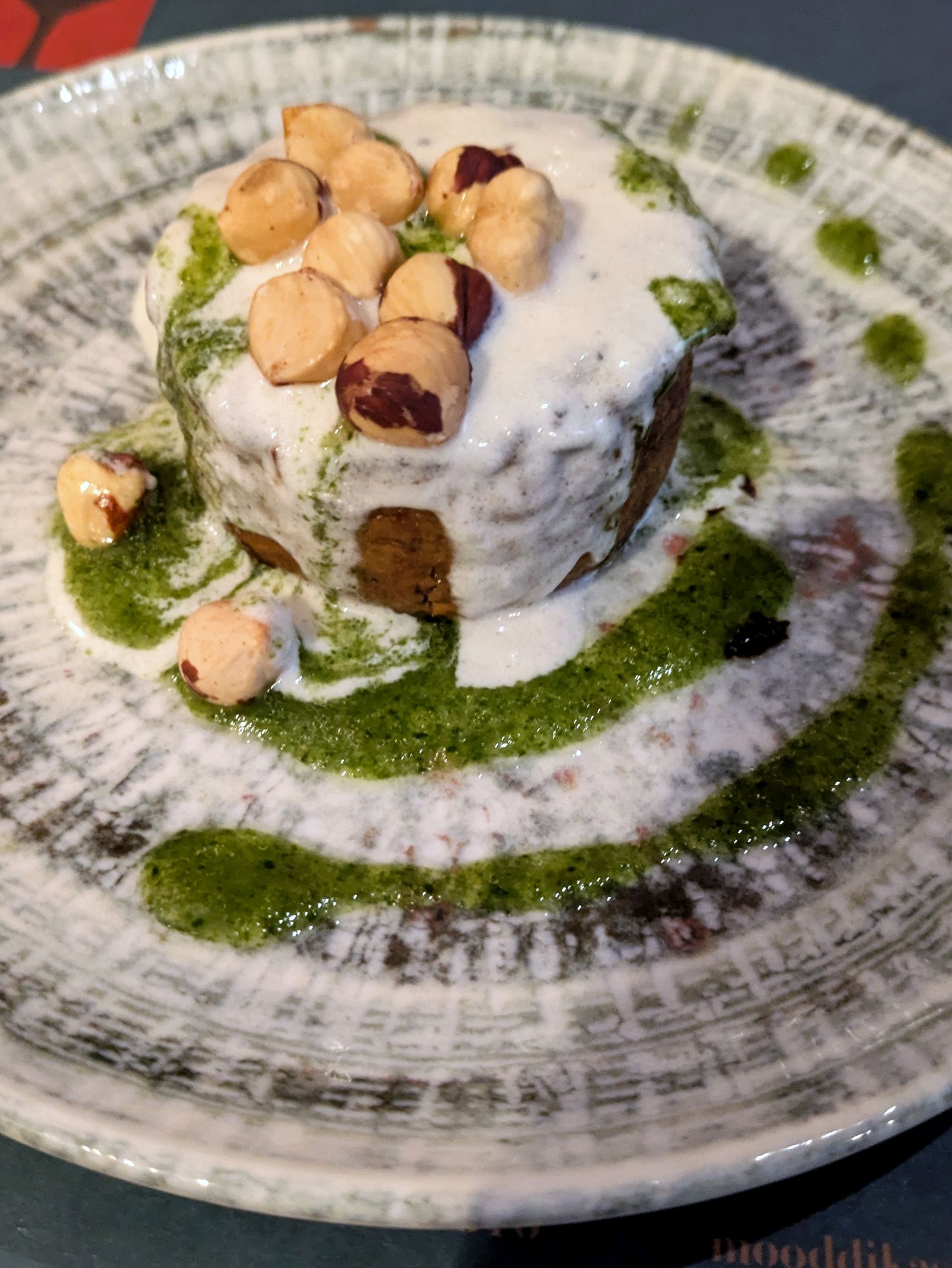
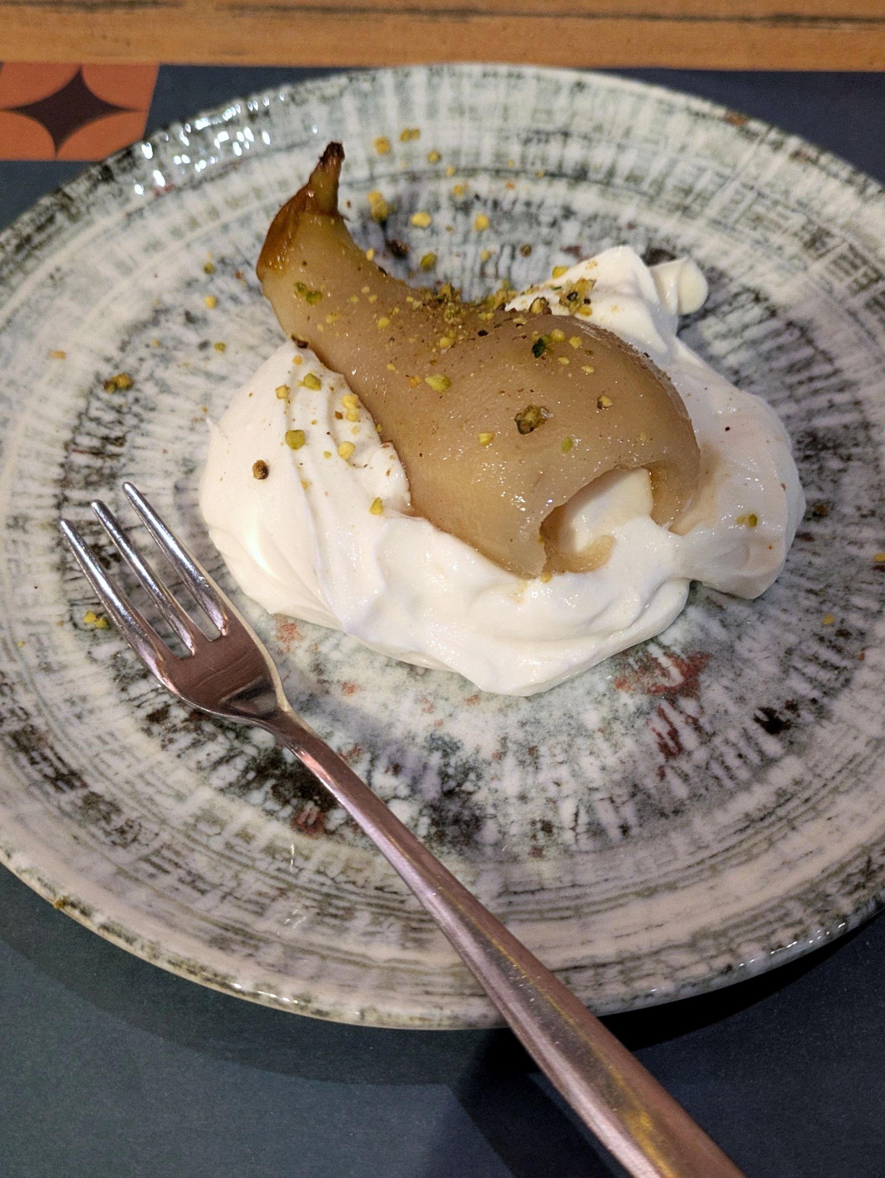
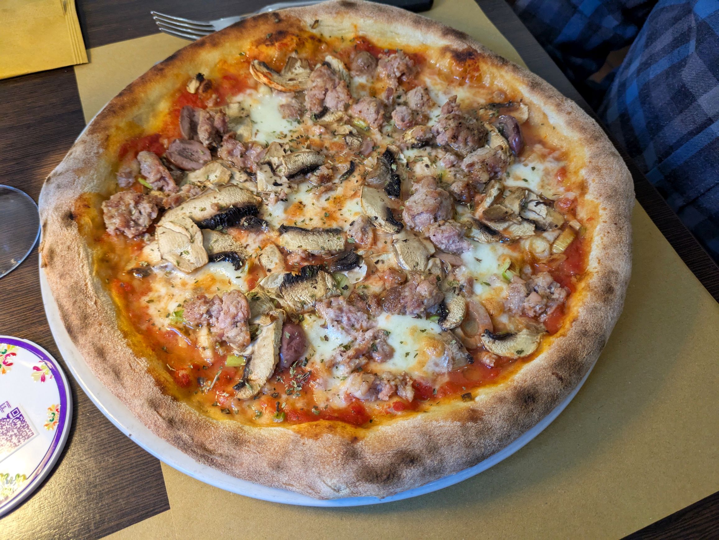
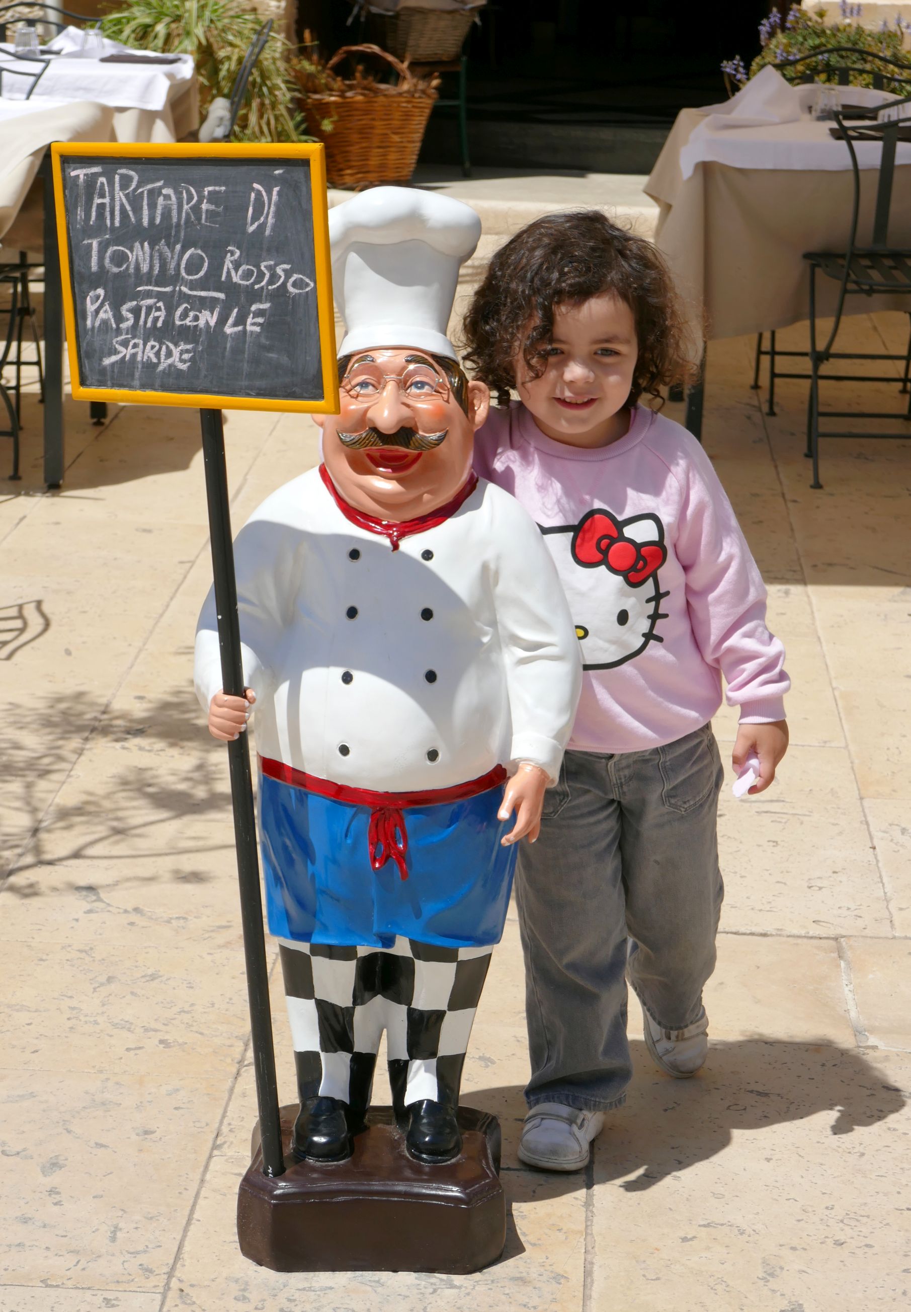
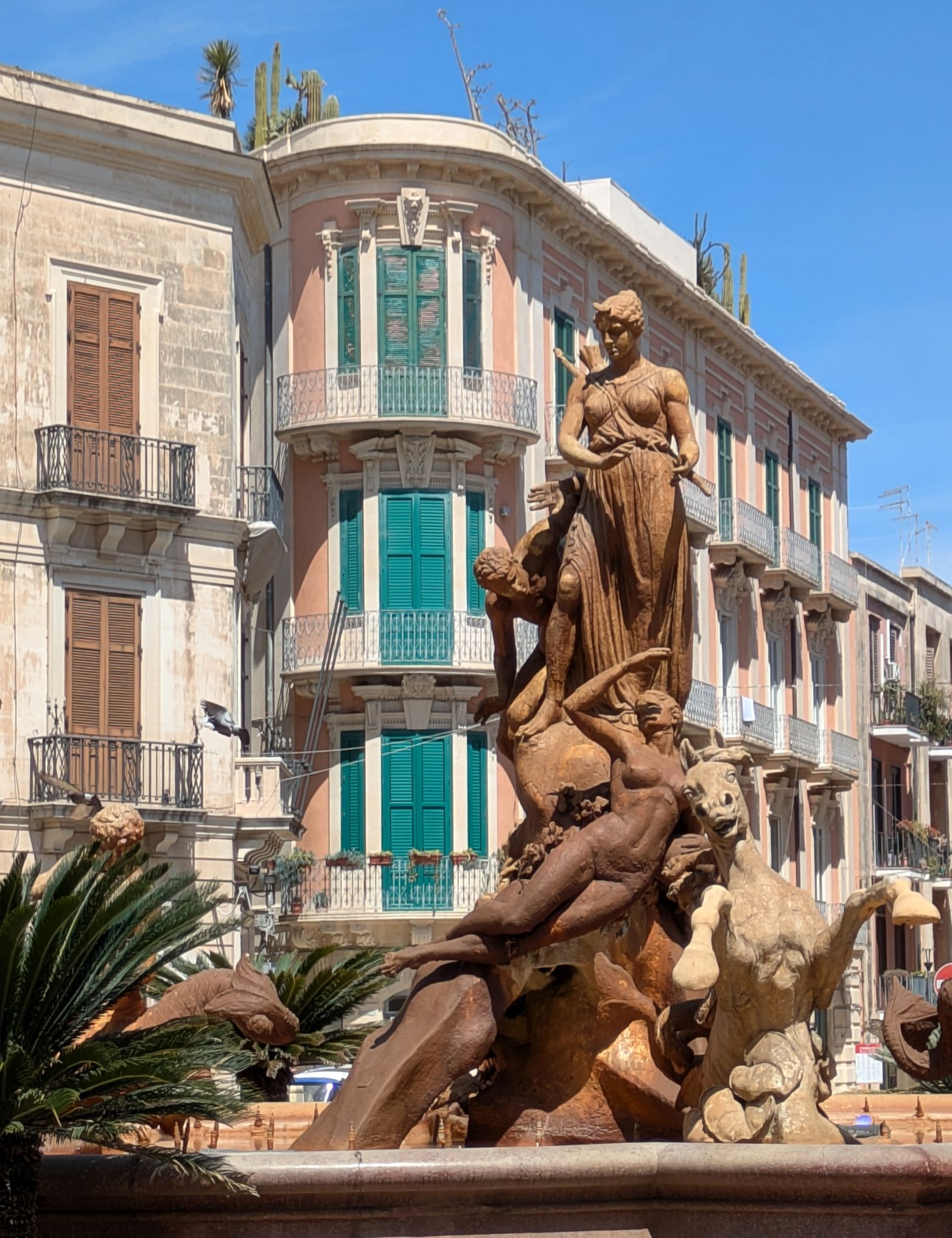
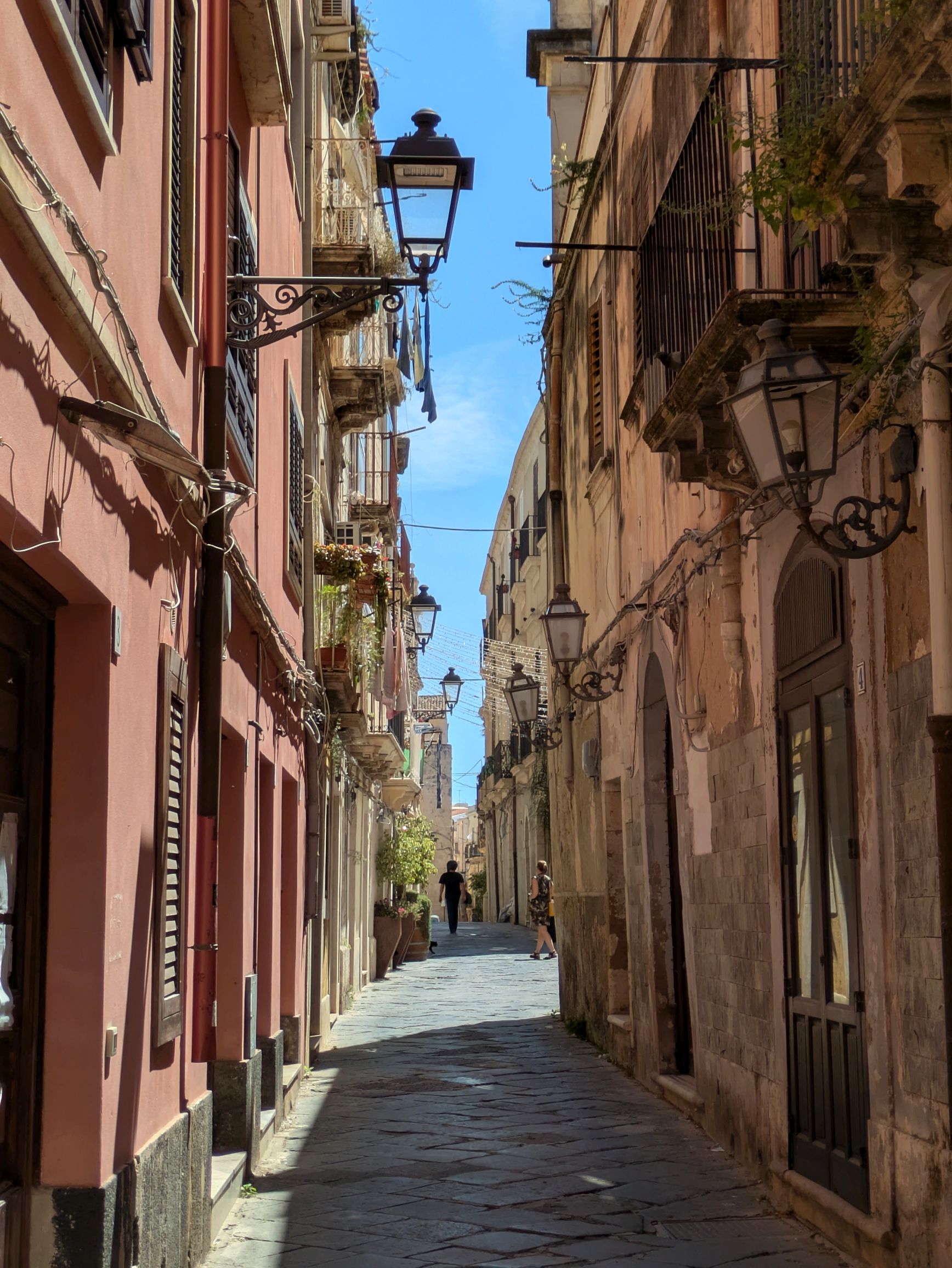
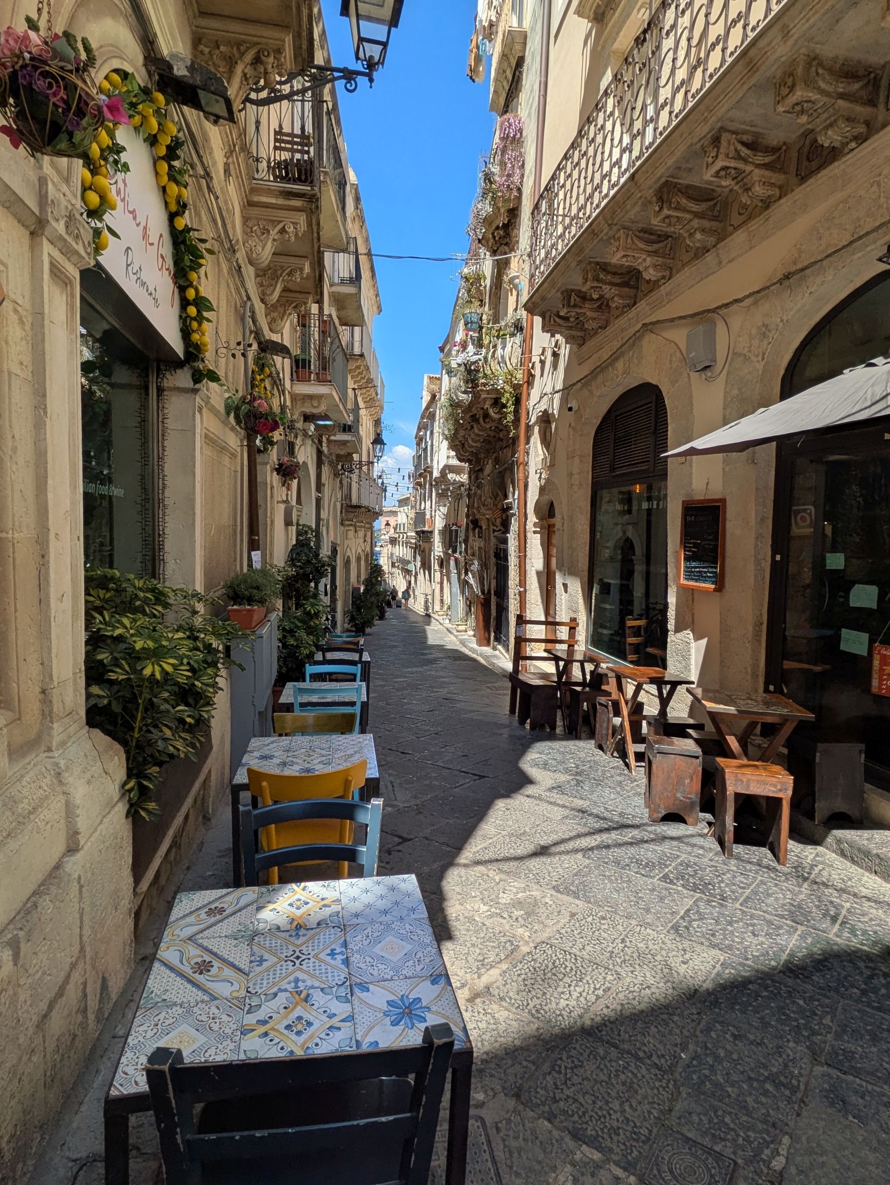
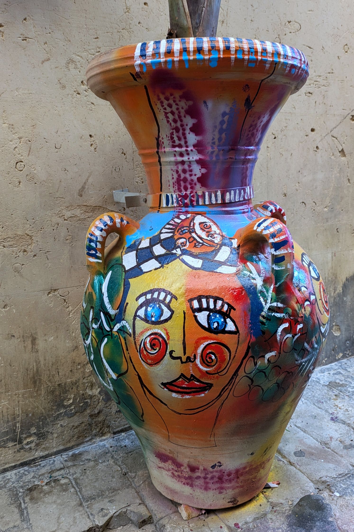
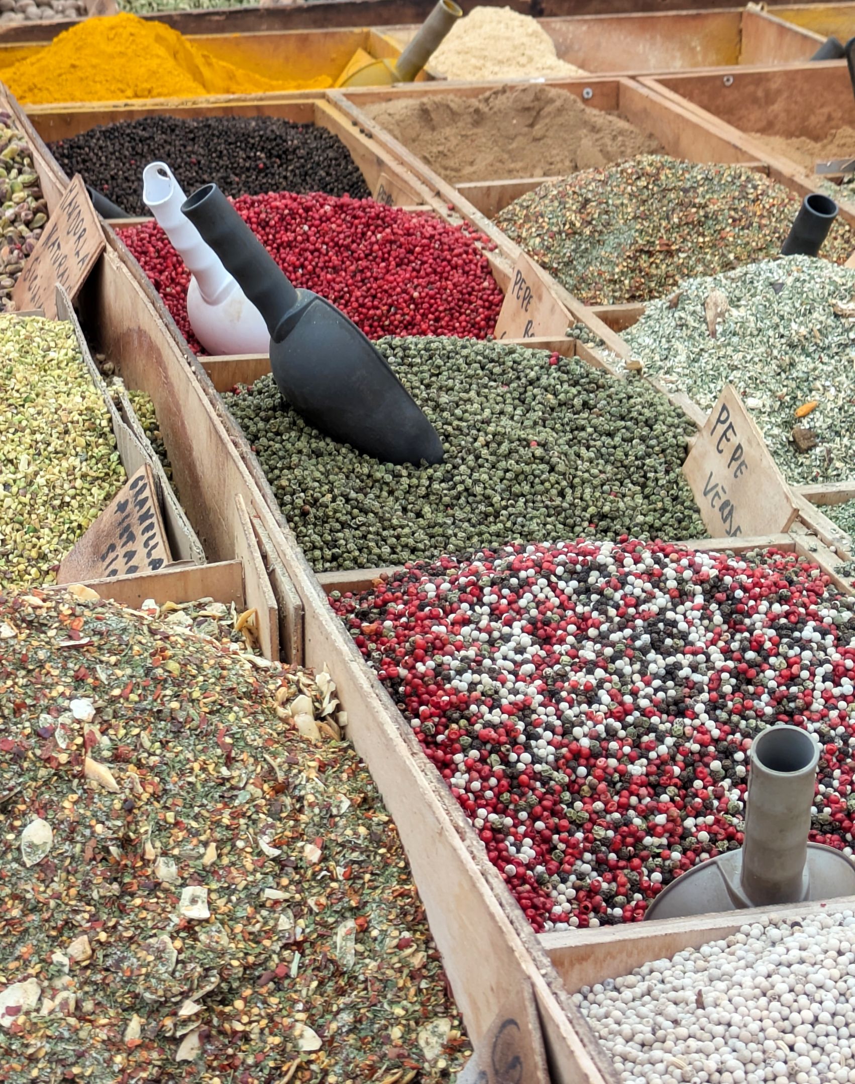
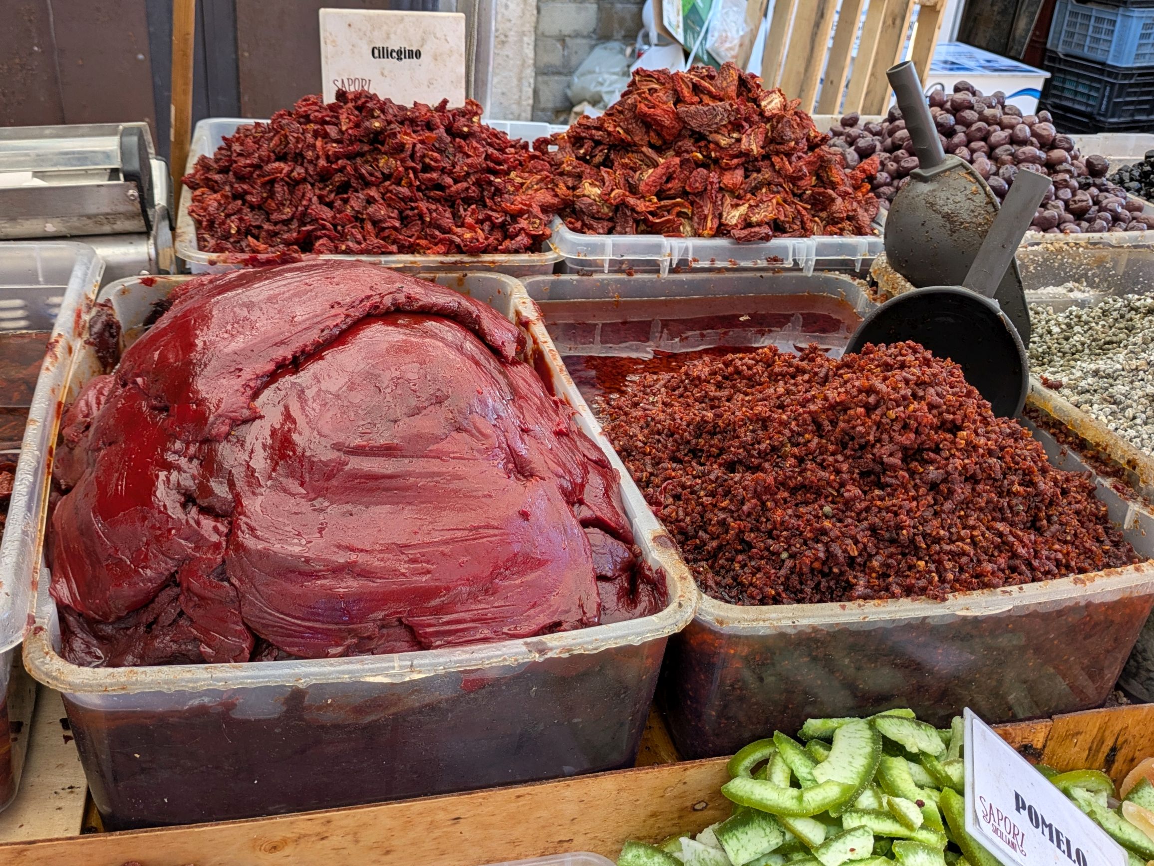
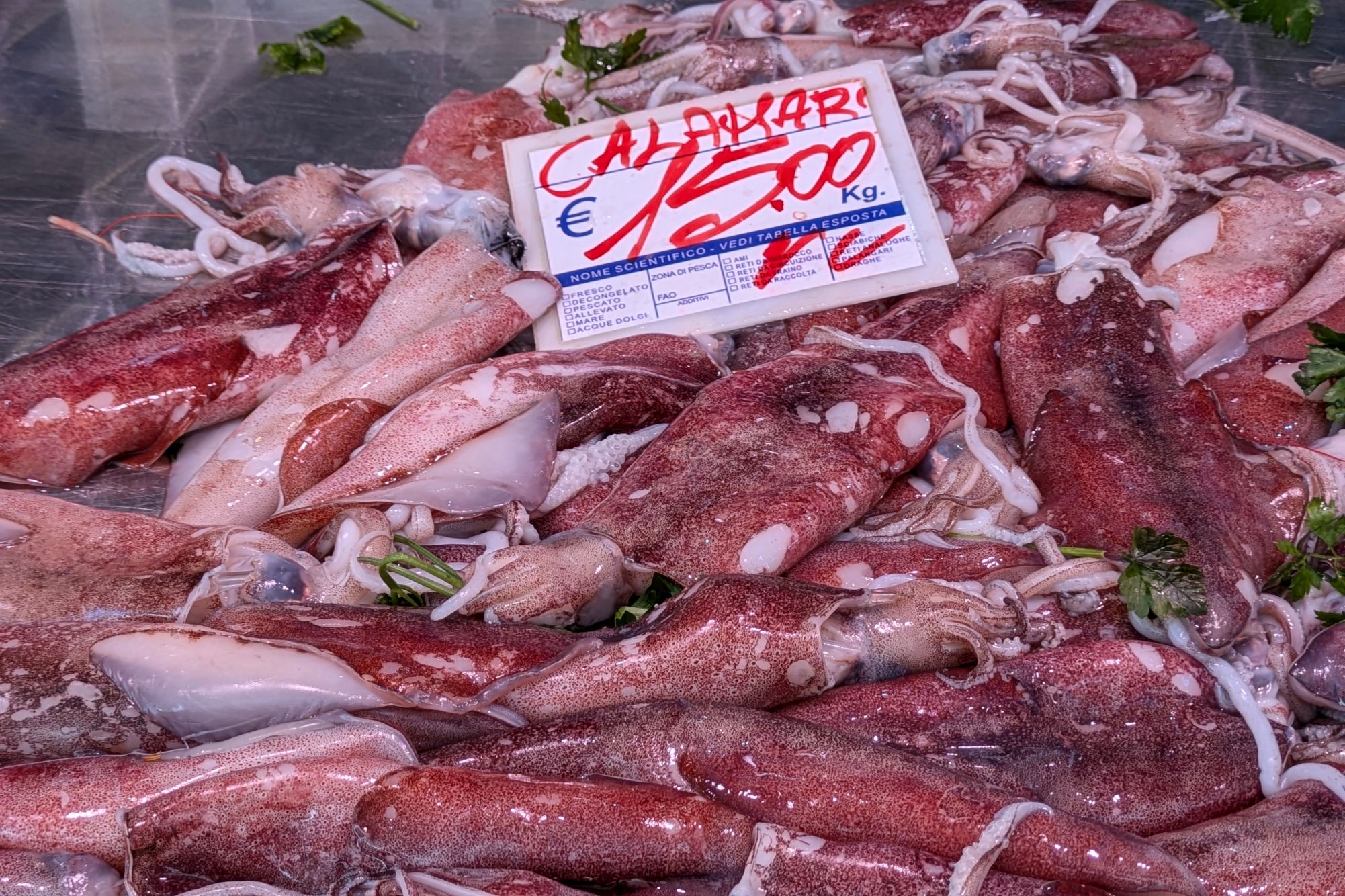
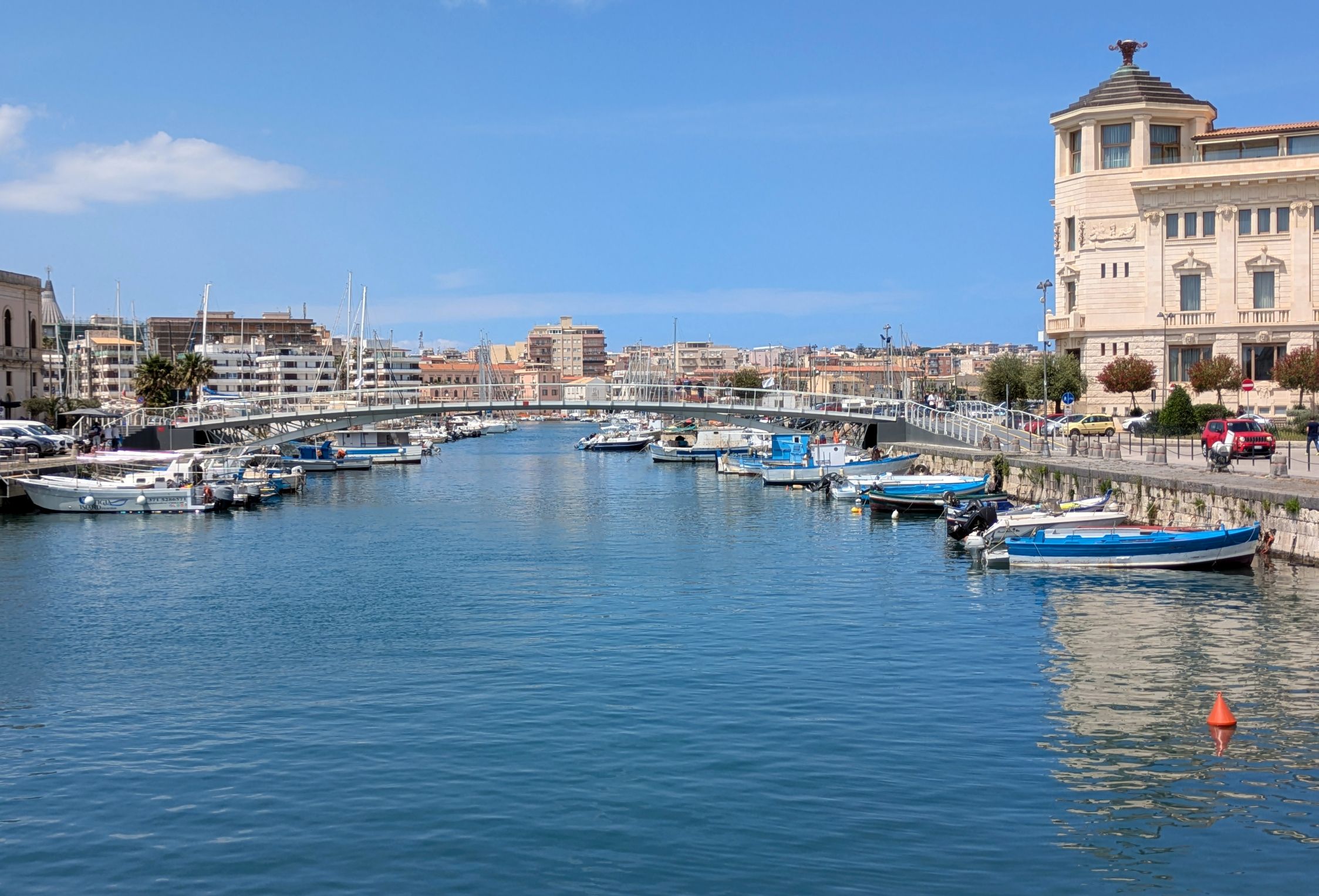
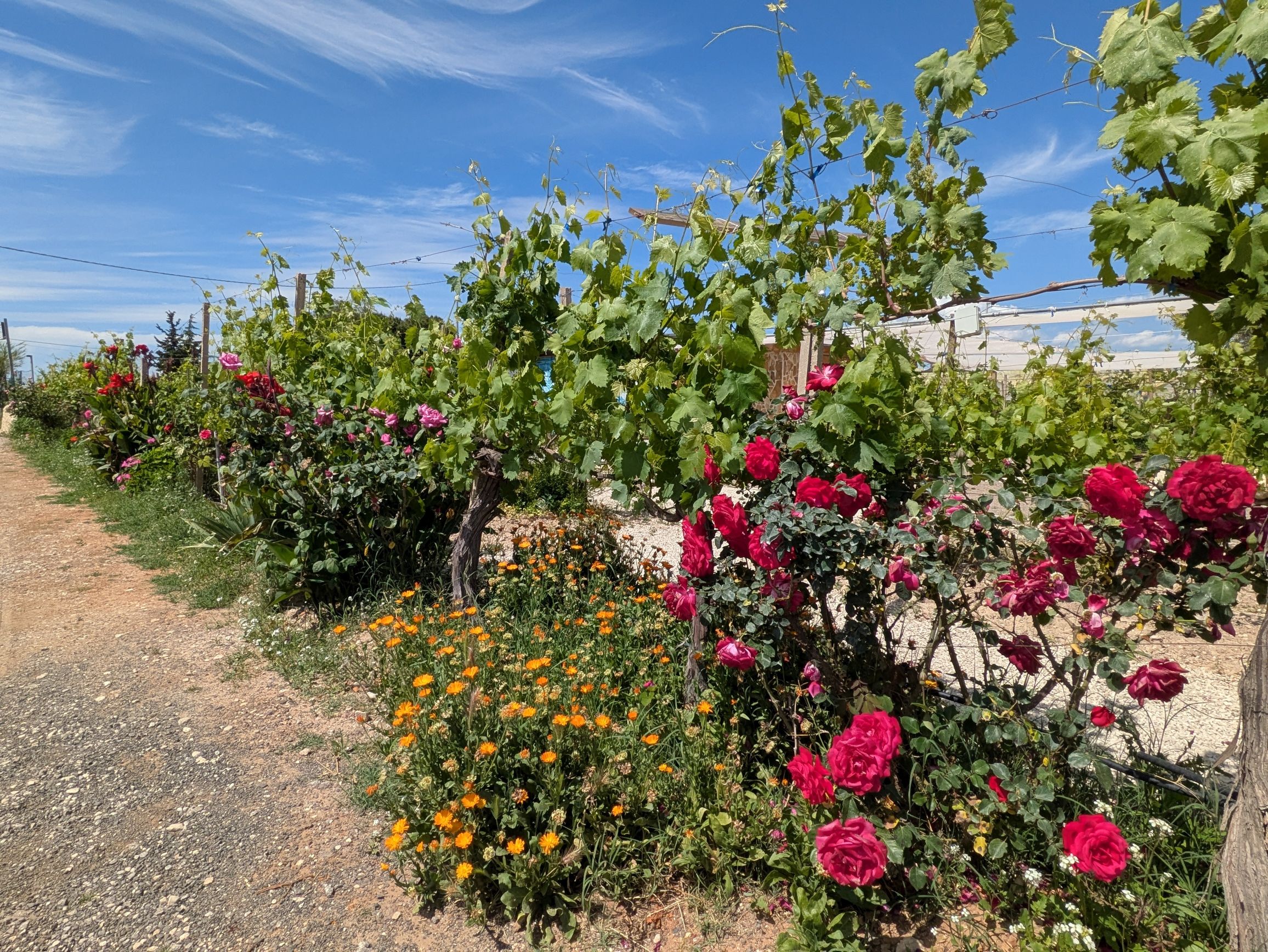
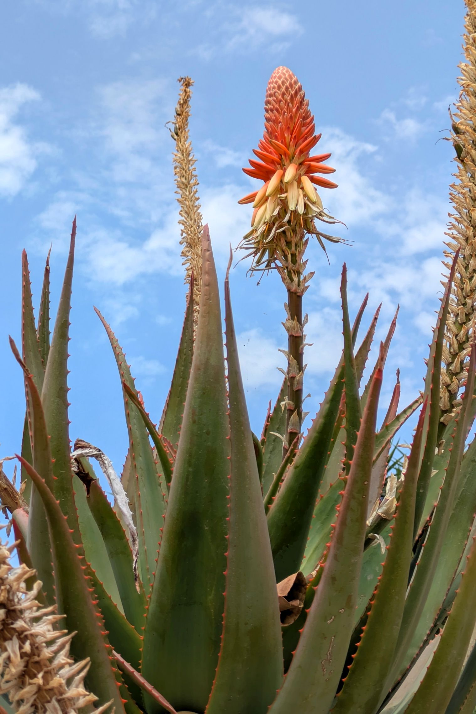
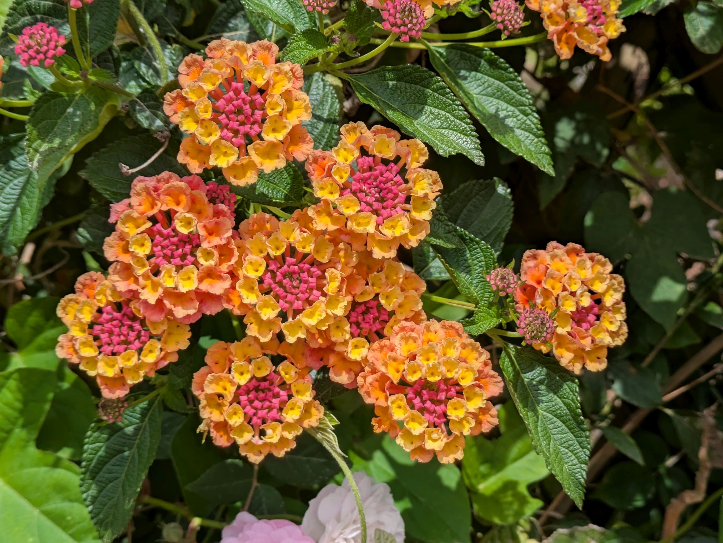
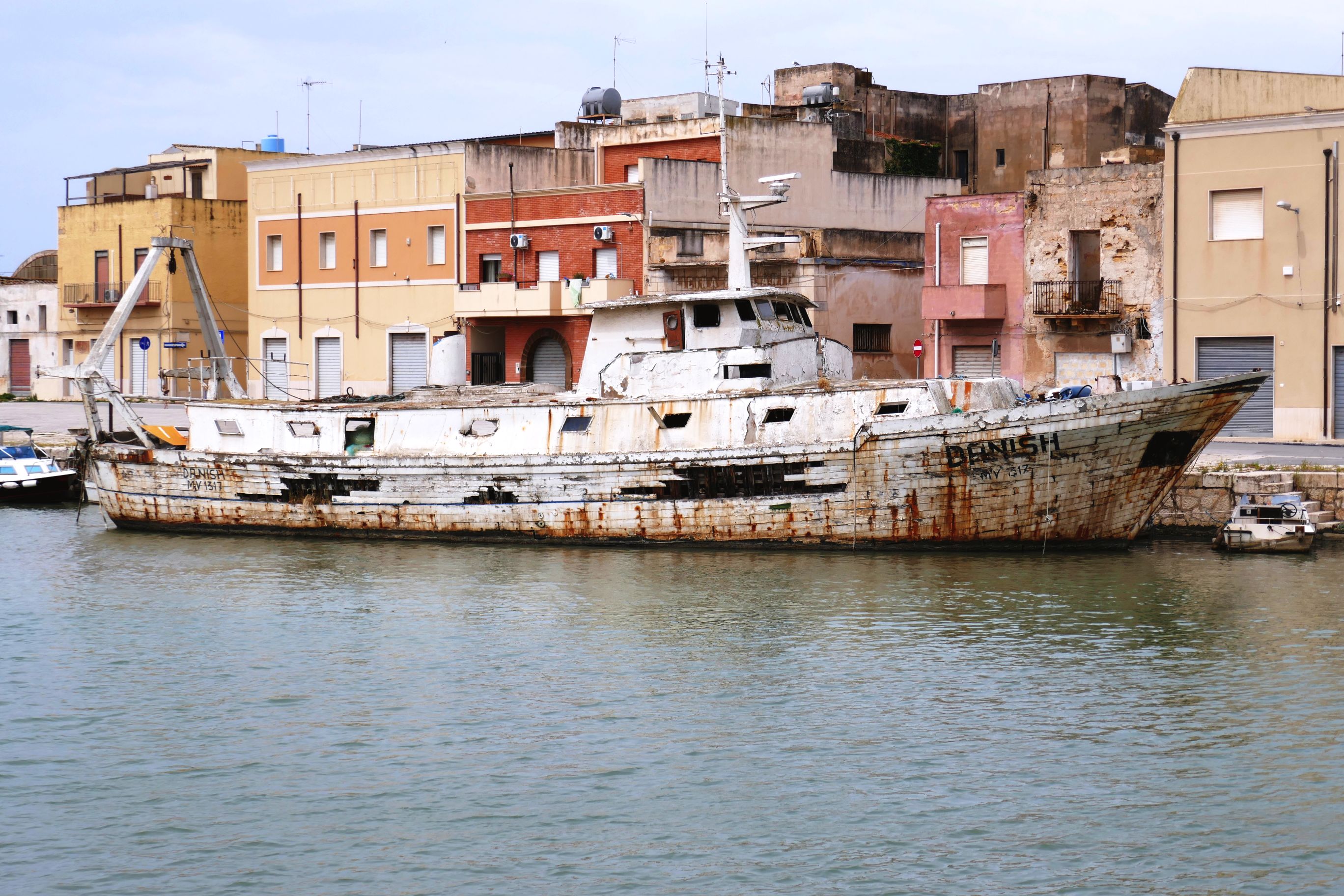
The following are scenes photographed around the city center of Catania during our free afternoons and evenings:
Siracusa, the capital of the province of Siracuse, was one of the most powerful ports of the ancient Mediterranean world. It dates back 2,700 years, so the city has a long, rich history. The architecture is a mix of Greek, Roman, and Baroque—one of the reasons UNESCO added the city to its list.
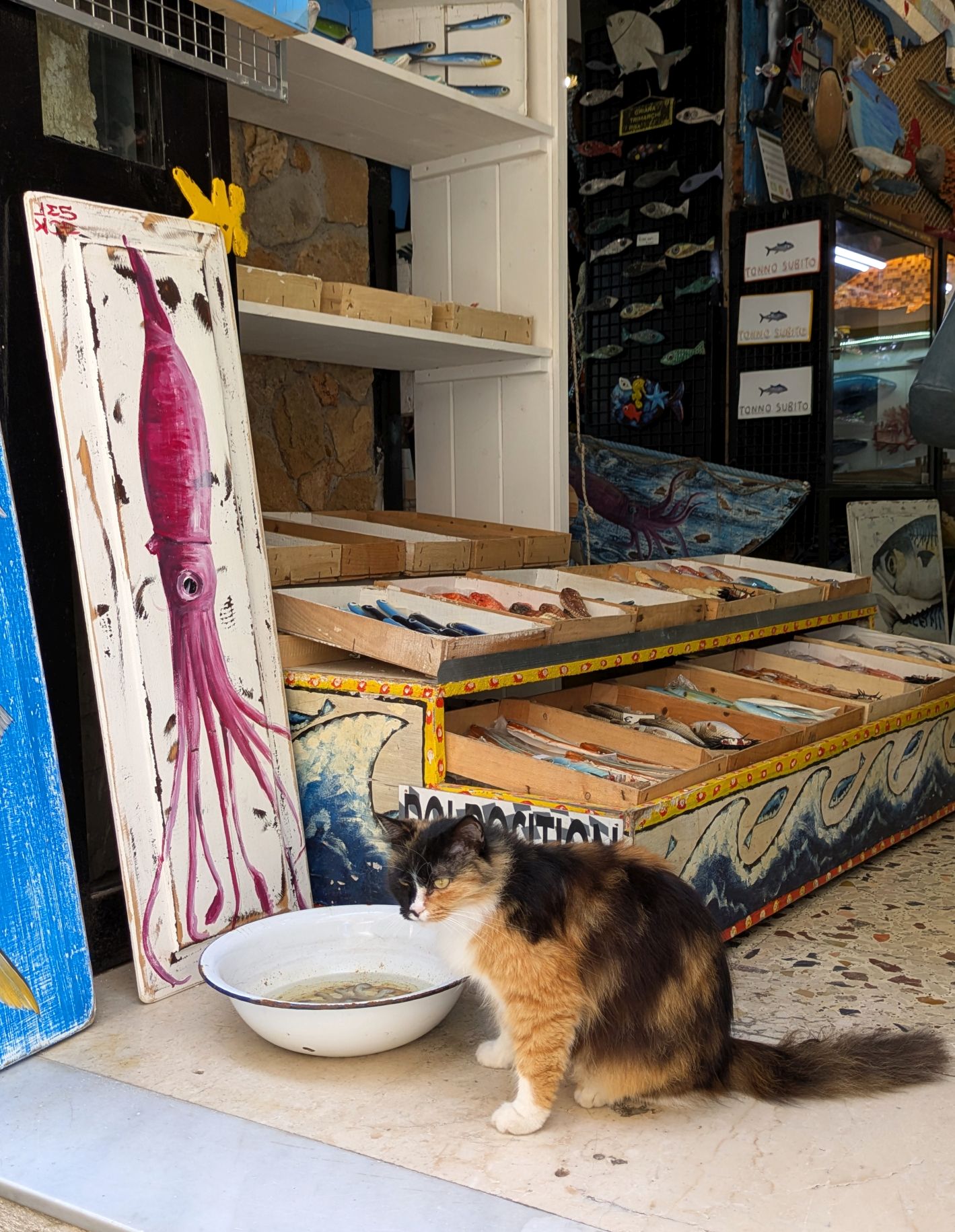
Just across the small bridges is the quaint and charming island of Ortigia (Ortygia), which is the historical center of Siracusa. Full of ancient landmarks, a wonderful mix of architecture, and a whole lot more (as you will see), we thoroughly enjoyed our walking tour and free time exploring this little island.
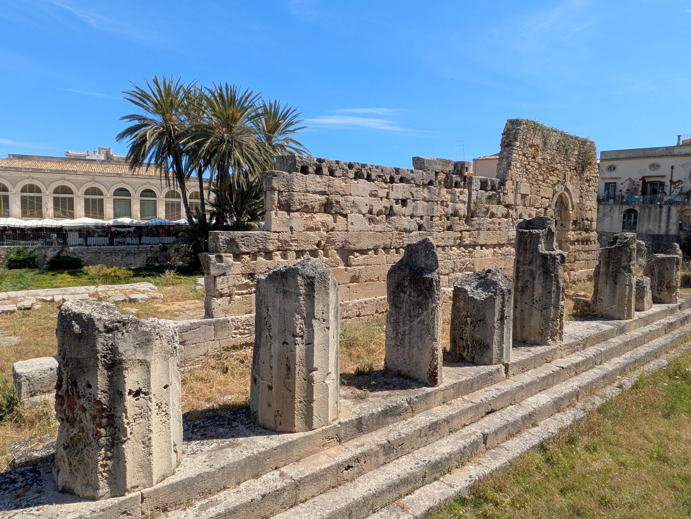
To begin our walking tour, we passed by the ruins of Temple of Apollo, a UNESCO World Heritage Site dating back to the 6th century BC. This Doric temple is one of the oldest in Sicily.
(For all photos, click on the image for a full screen view.)
The following are more highlights from our time on the island:
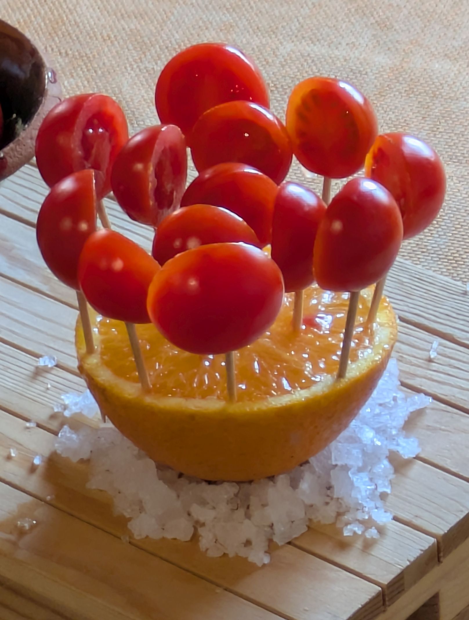
This is one of the places where “ogling” occurred!
I fell in love with this little painting on scrap wood and bought it from the artist.
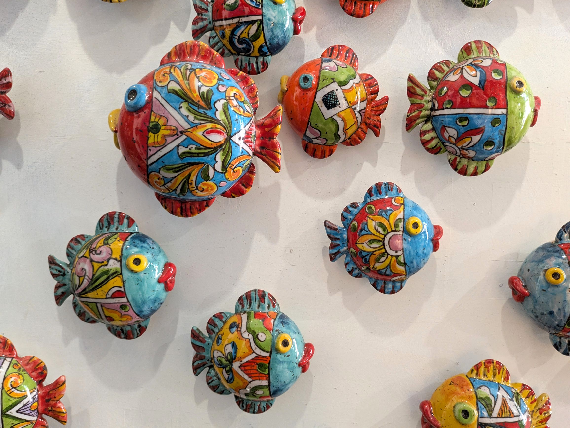
Inside this store, the owner posted a sign that read, “Please photograph and post on social media!” I am gladly obliging. Unfortunately, I forgot to photograph the name of the store!
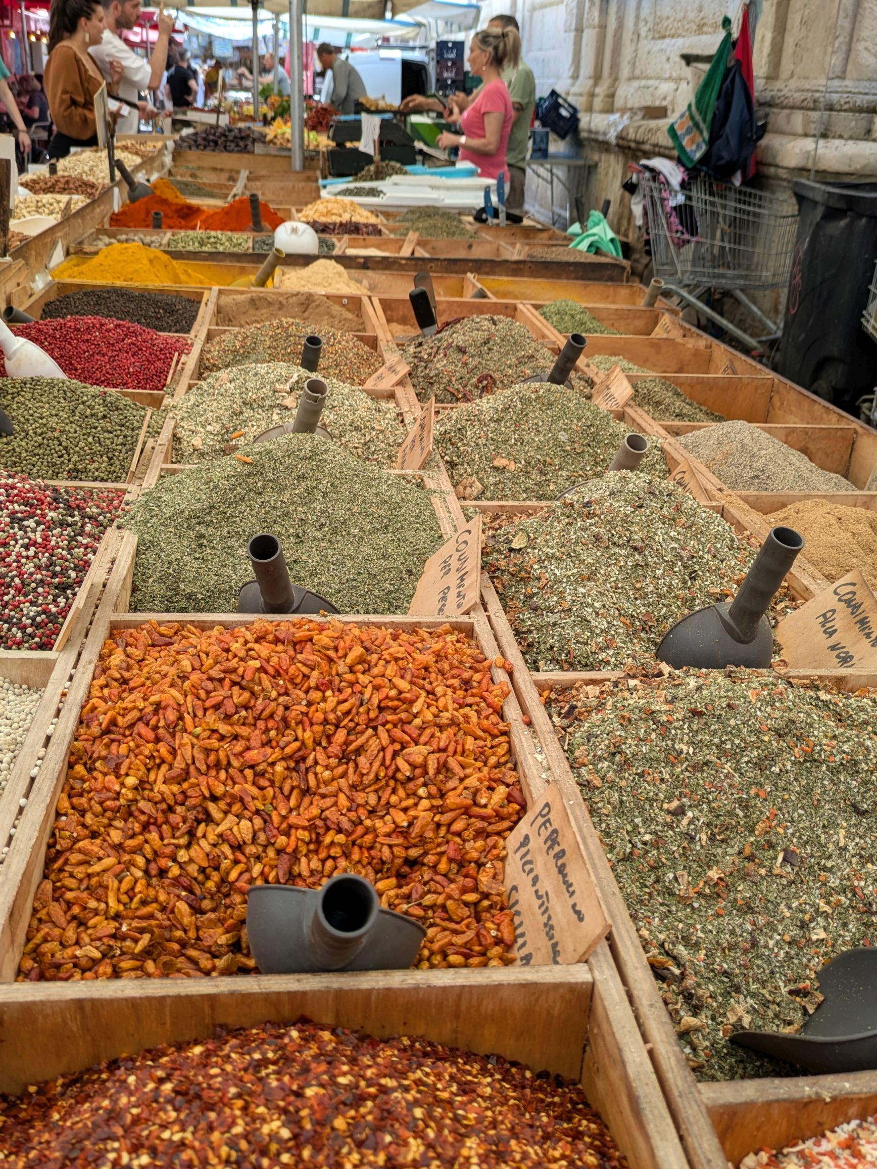
Bruce and I thoroughly enjoy markets as my regular readers know. We seek them out wherever we travel, whether they are historic open-air farmers markets, or modern foreign grocery stores. We found another one!
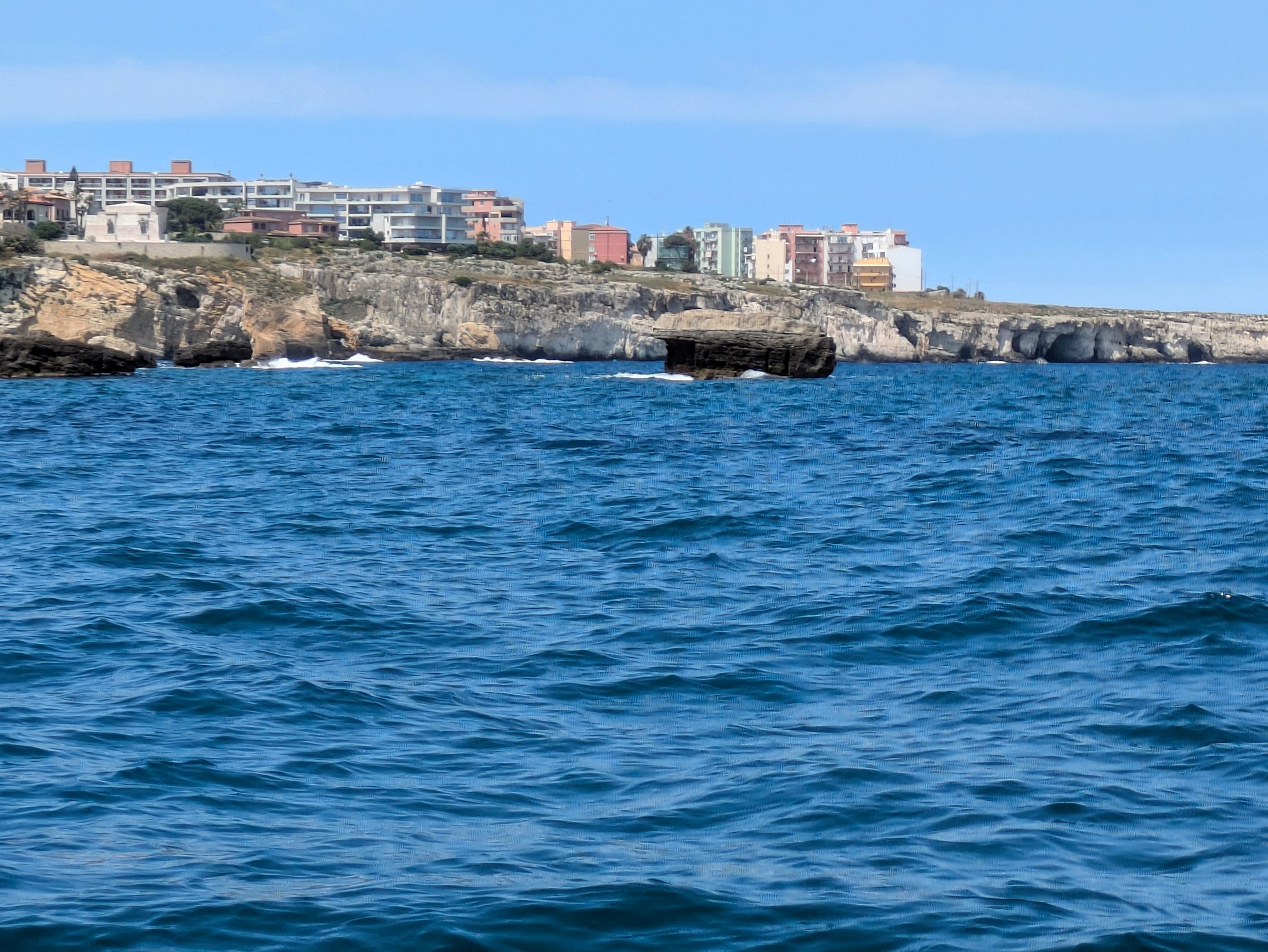
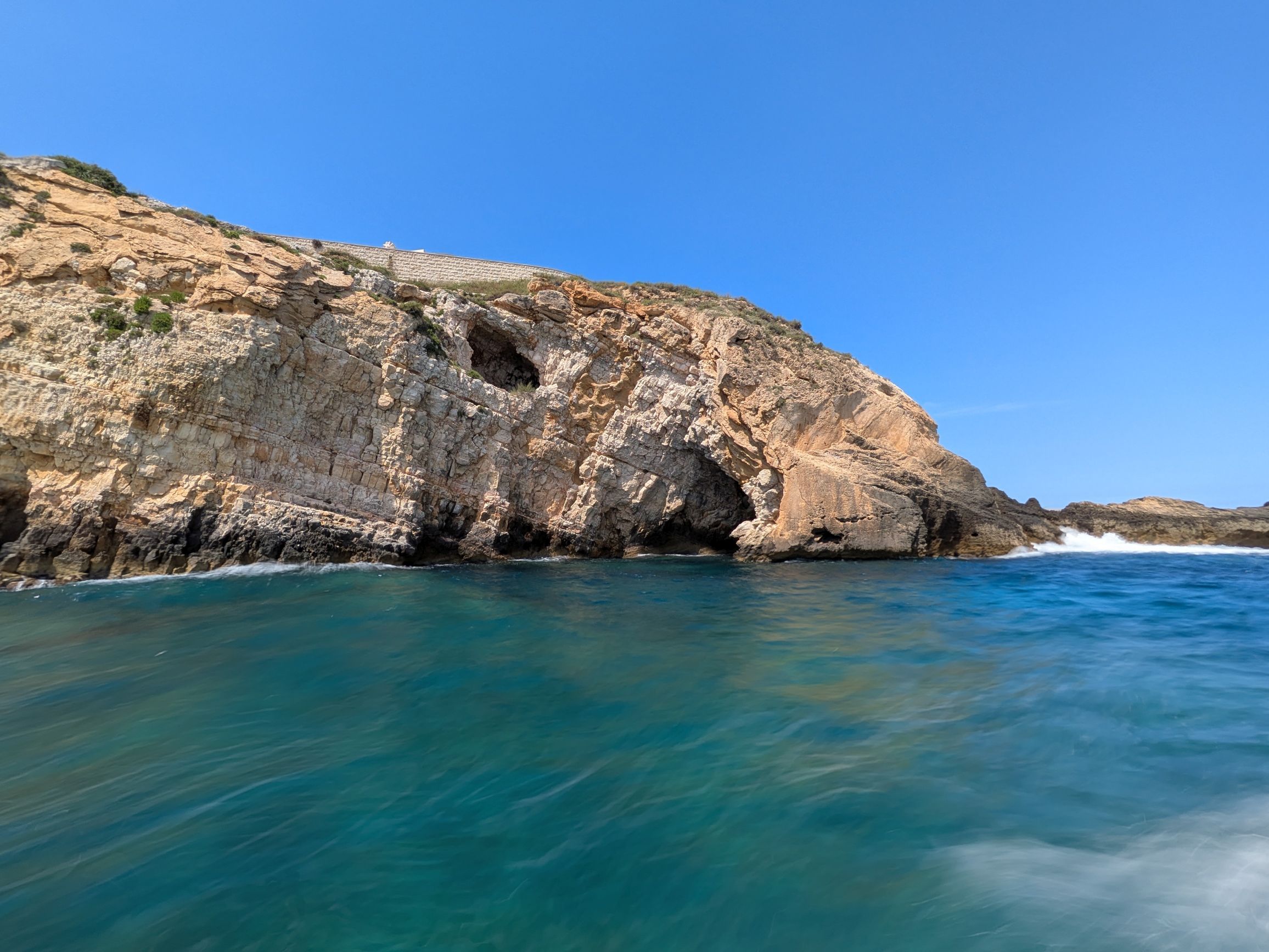
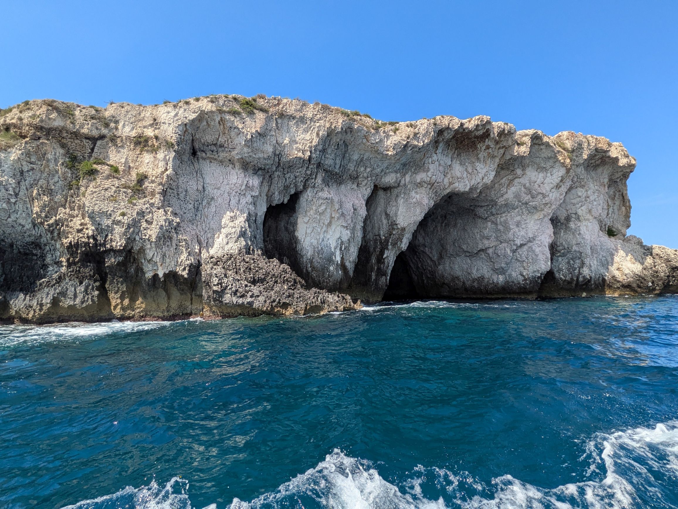
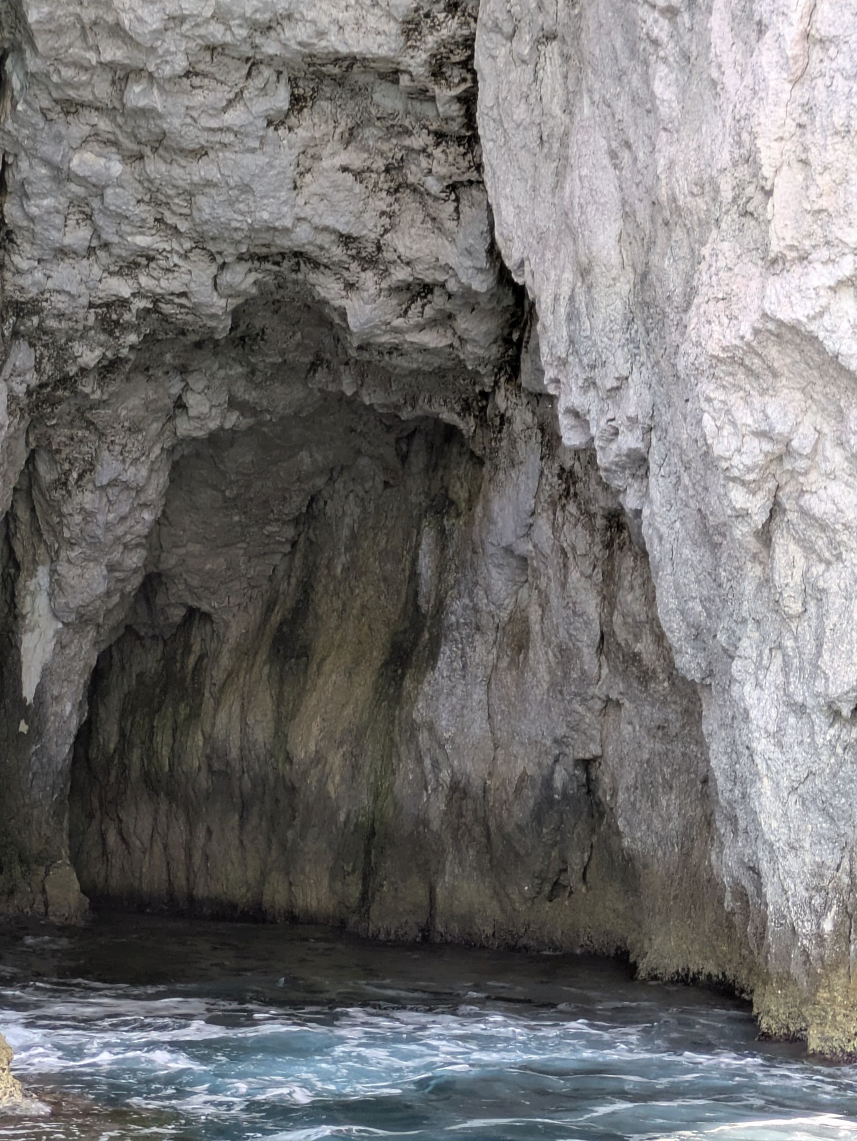
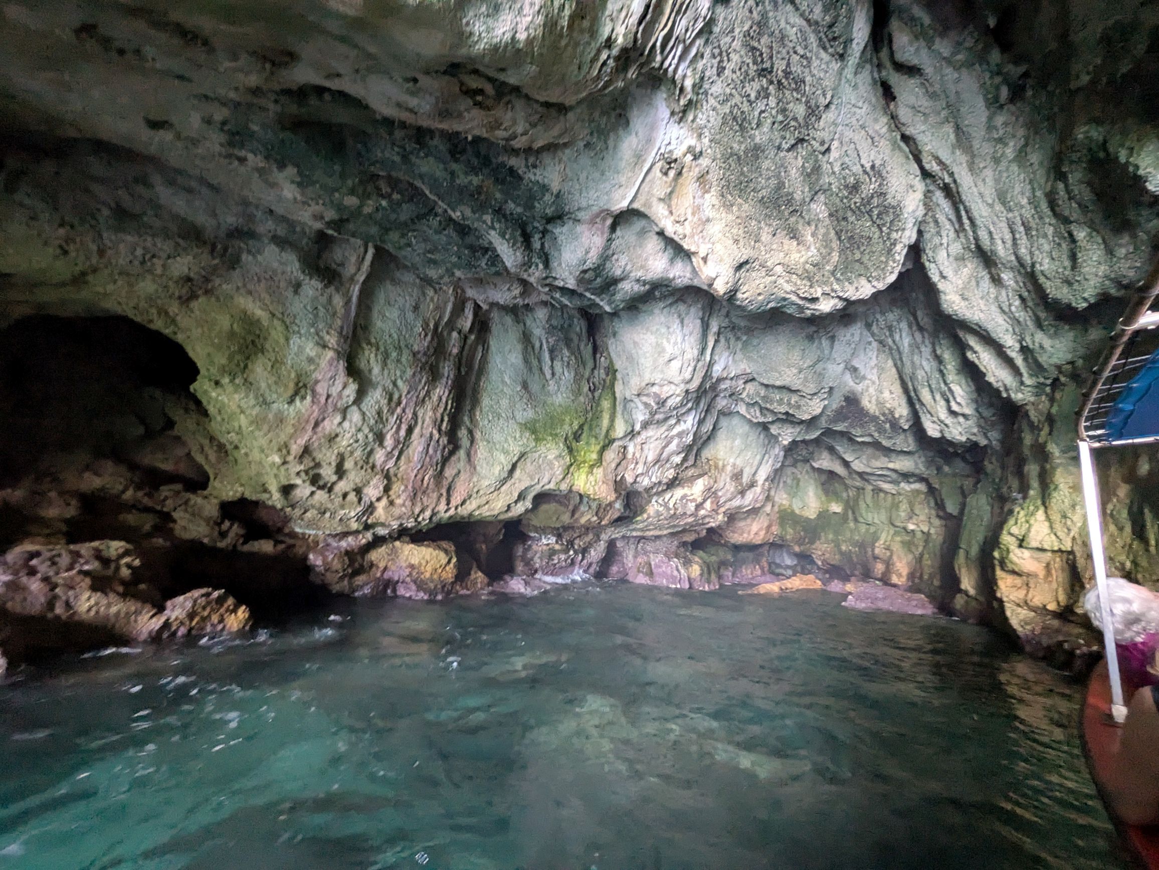
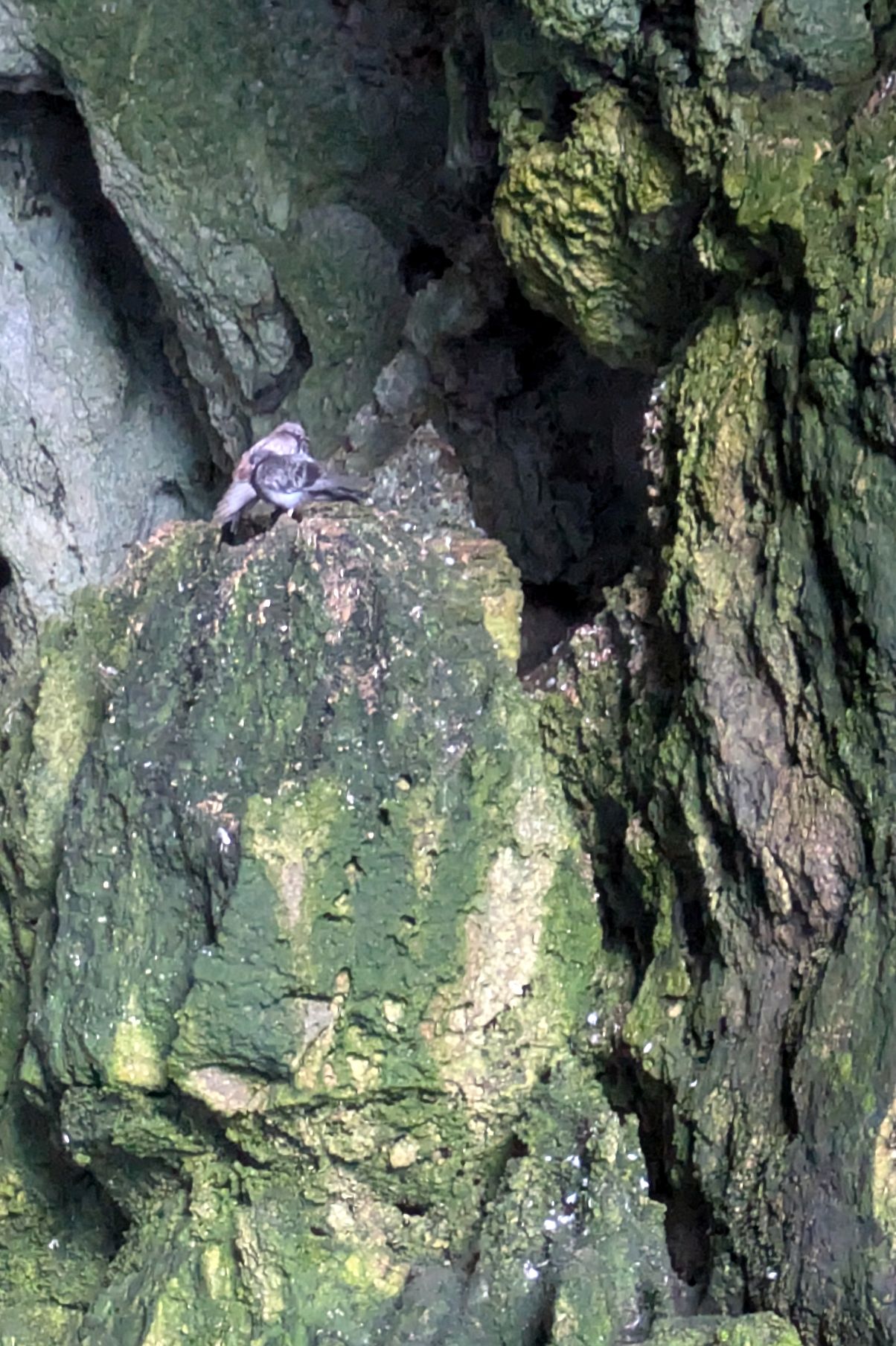
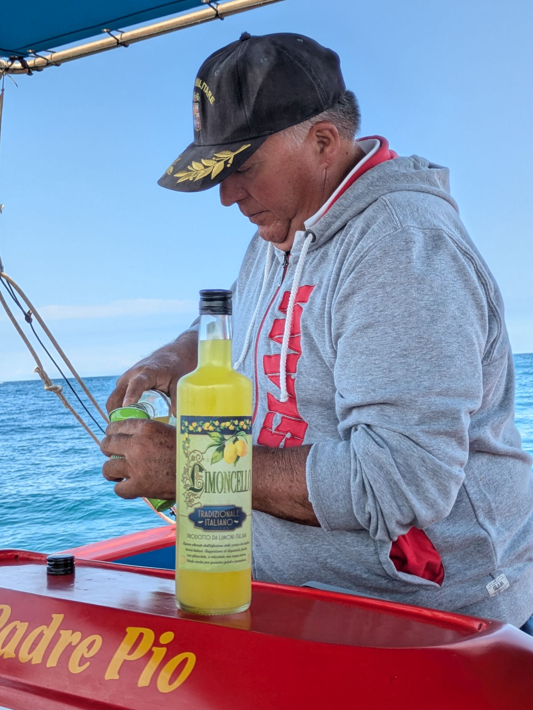
Since it was yet another beautiful day, our group was able to conclude our visit with a scenic boat tour of the island’s rocky cliffs and grottos along the Ionian Sea. Were we ever fortunate and grateful! According to our tour leader, Francesco, this was only the second time in three years for him as a tour leader the water was calm enough to go inside the caves—one of the highlights of the trip for me and Bruce!
Those are birds up towards the top nesting inside the cave.
That’s our captain pouring us a celebratory Limoncello.
As a former kayak surfer in San Diego, as soon as I saw this guy and his friend playing what Iooked like kayak water polo, I wanted to join in! What a blast!
Coming up next: SICILY & AMALFI COAST #18: CULTURAL CATANIA
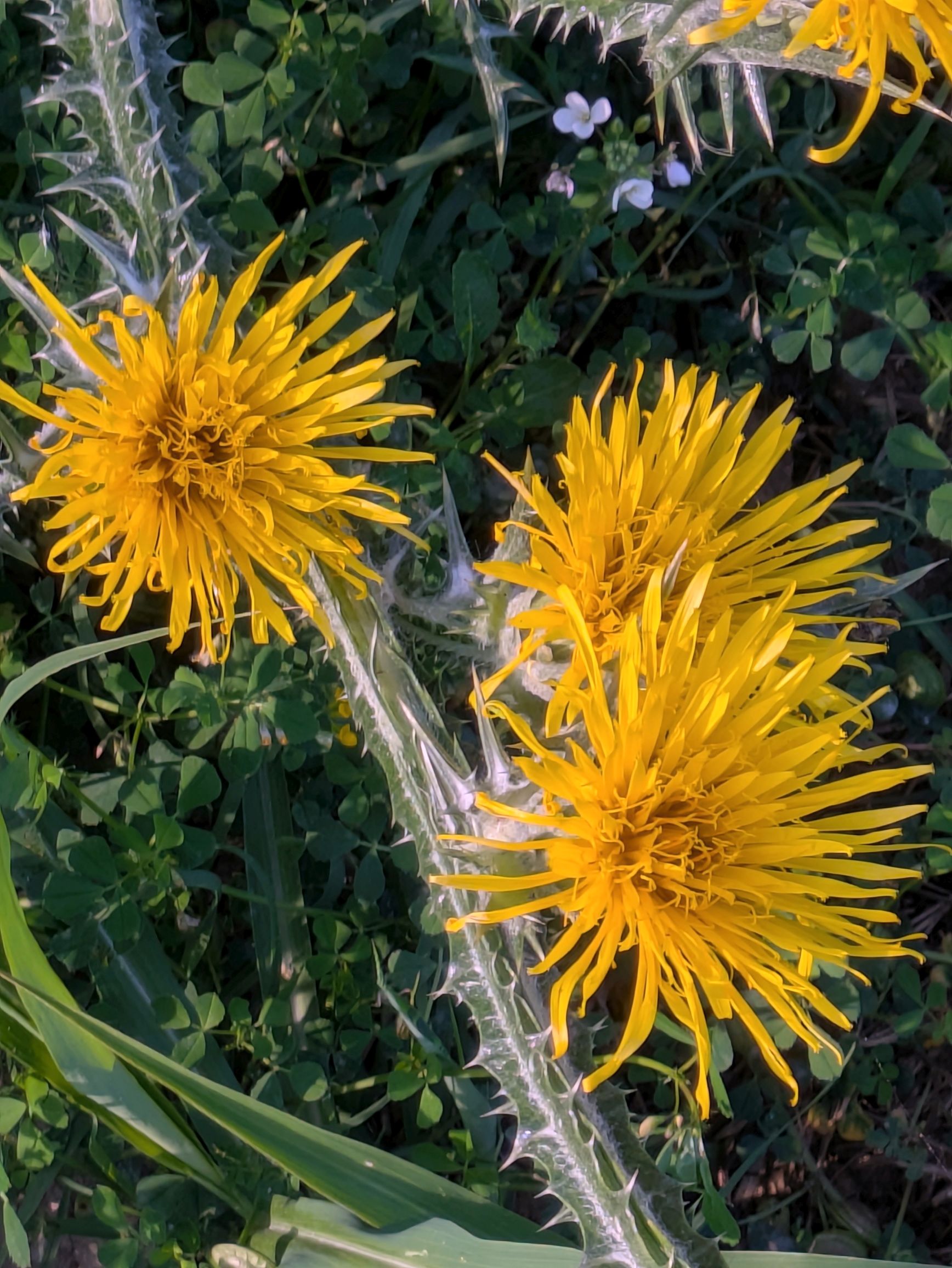
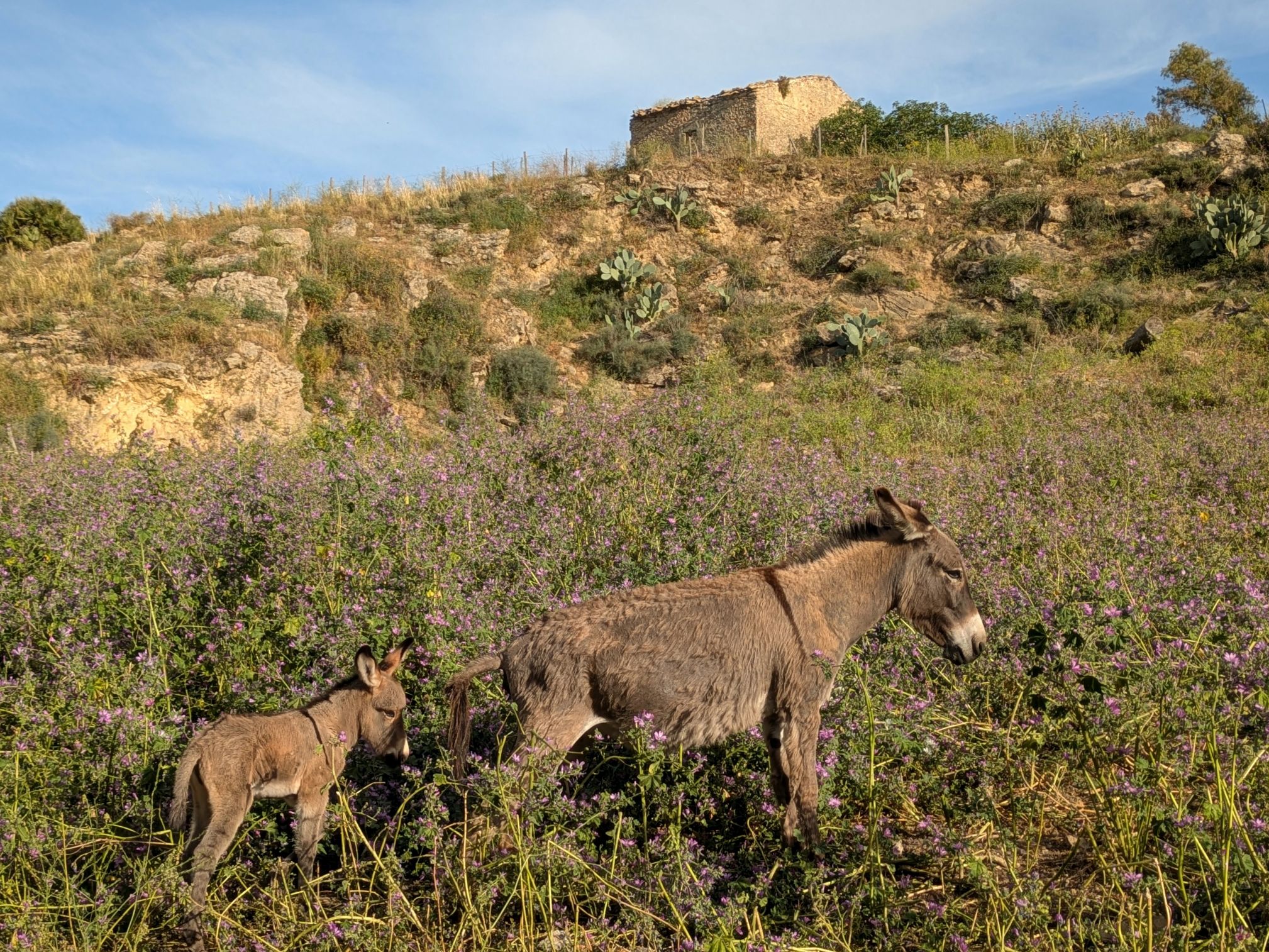
Another beautiful morning greeted us as we arrived in the UNESCO-protected Val di Noto valley of Sicily to meet Domenico. The hike from the bus to his family’s farm along an unpaved path was beautiful! Wildflowers were in bloom, and the views of the surrounding hillsides were lovely.
(For all photos, click on the image for a full screen view.)
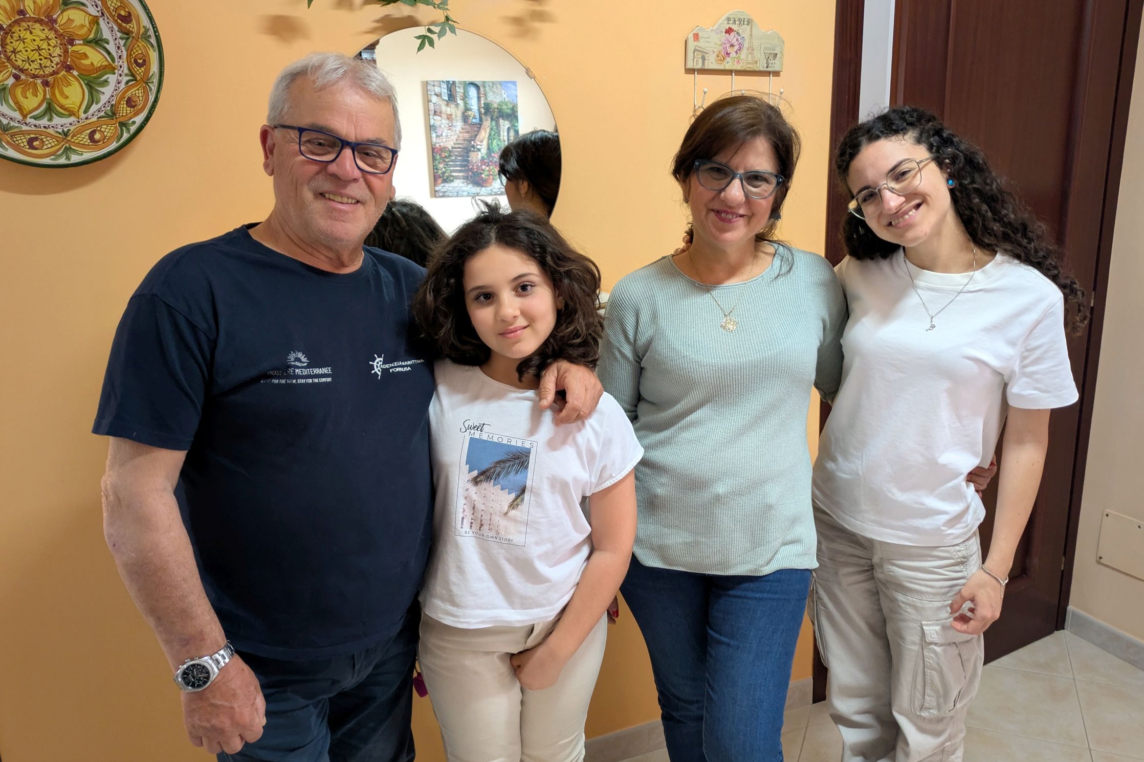
Along the way, Domenico hopped the fence to go fetch his sheep, so we could meet them. When we arrived at the farmhouse, we met his wife, Valeria, her parents, Stella and Paolo, and her sister and niece.
The family with Francesco
This sketch was drawn by Domenico of his mom who taught him how to build drystone walls. He built the entire wall lining the path we walked to his home.
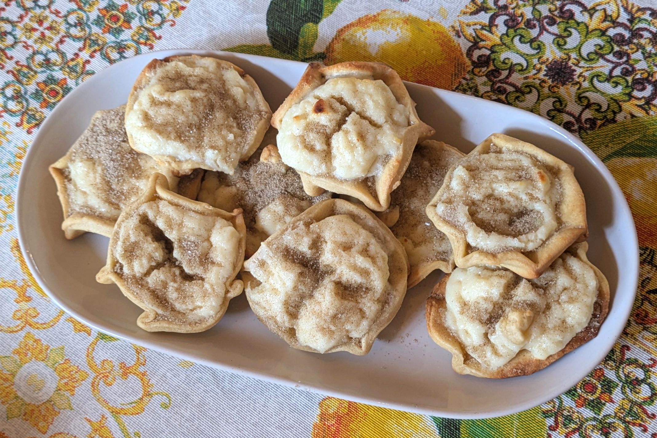
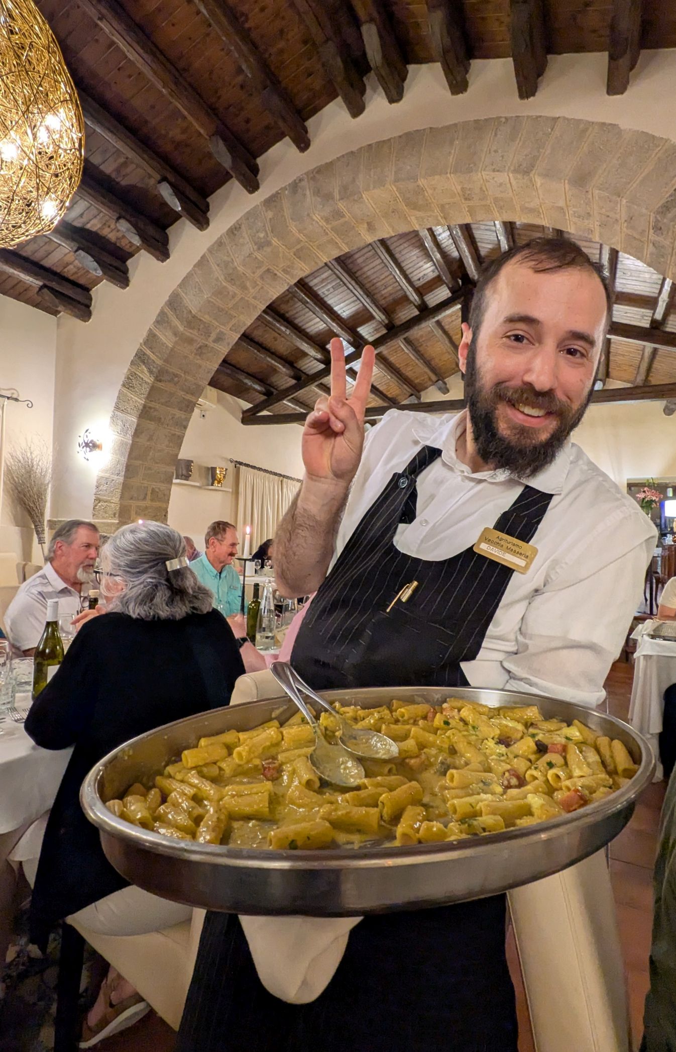
The farm has been in Valeria’s family since the 1800’s. In addition to farming for a living, they host small groups like ours from Overseas Adventure Travel (OAT) for a homemade lunch featuring vegetables and meat from their farm. Volunteers also learned how to make the pastries we enjoyed for dessert.
The pastries we learned how to make
Valeria with her sister and niece (in the middle)
On almost every one of our OAT tours, the only time it rained was when it didn’t matter. This time, while the family finished preparing our lunch, it began to rain. I told the others in the group, “No worries! It will stop raining by the time we have to hike back to the bus. It always does on our tours!” And sure enough, it did. The hike back was sunny and beautiful! Bruce and I couldn’t believe it!
Our lunch and time with the family was so enjoyable. They didn’t speak English, but Francesco translated for us when needed, and they were wonderful!
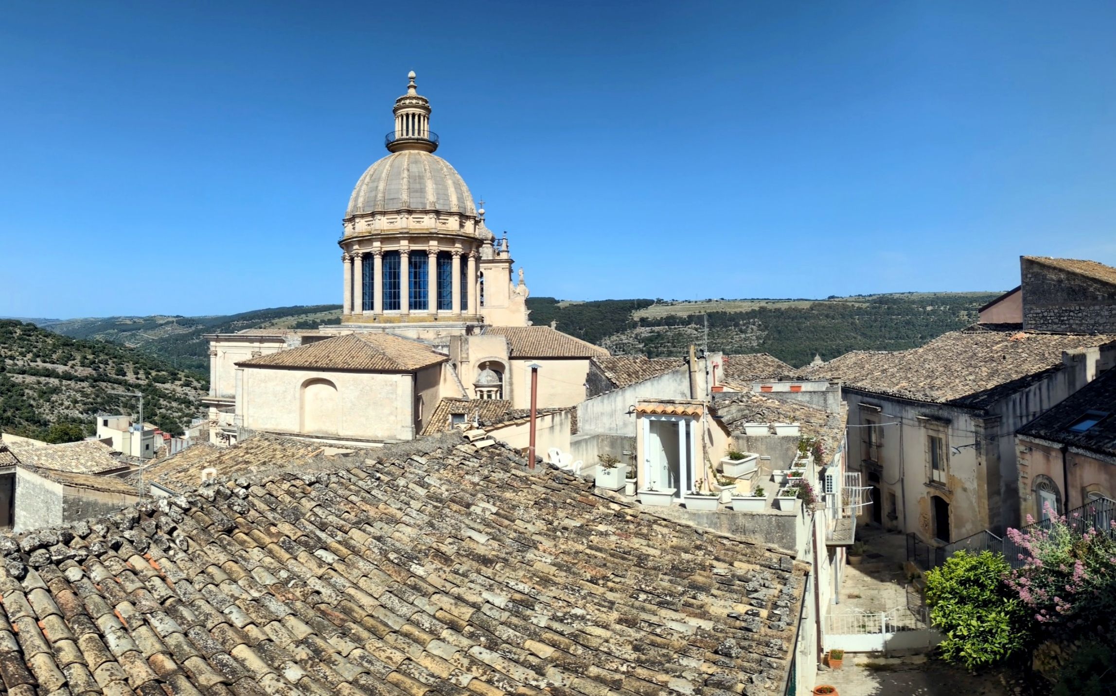
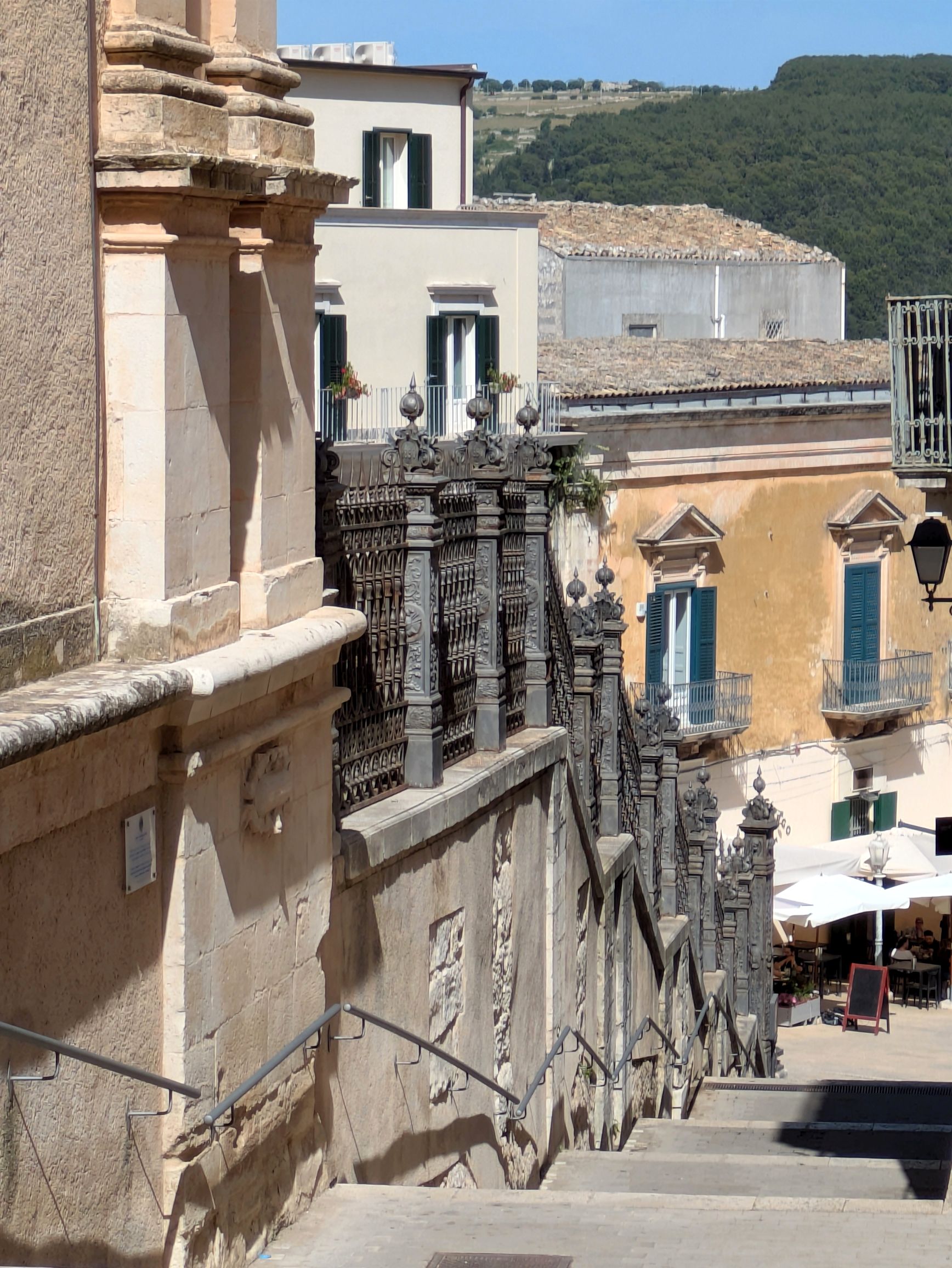
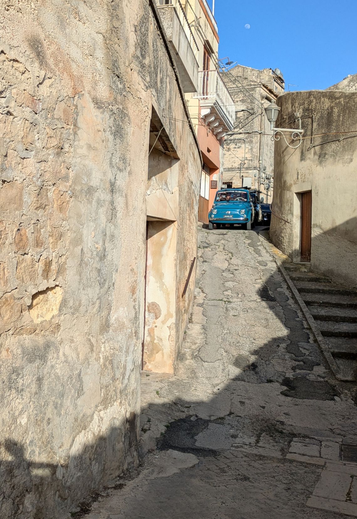
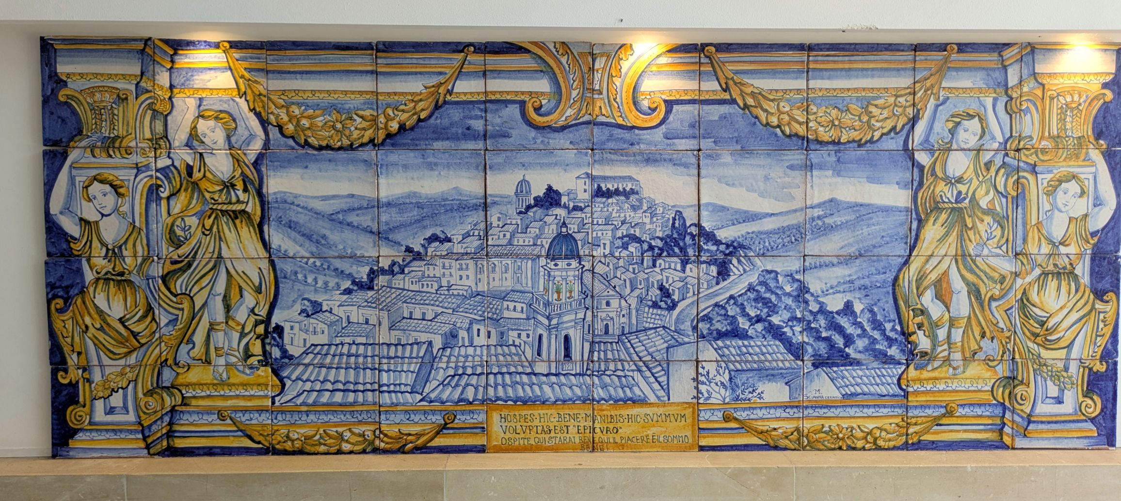
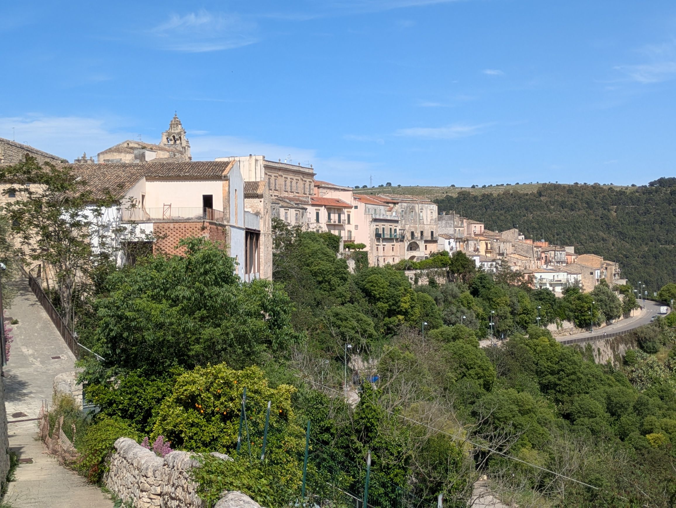
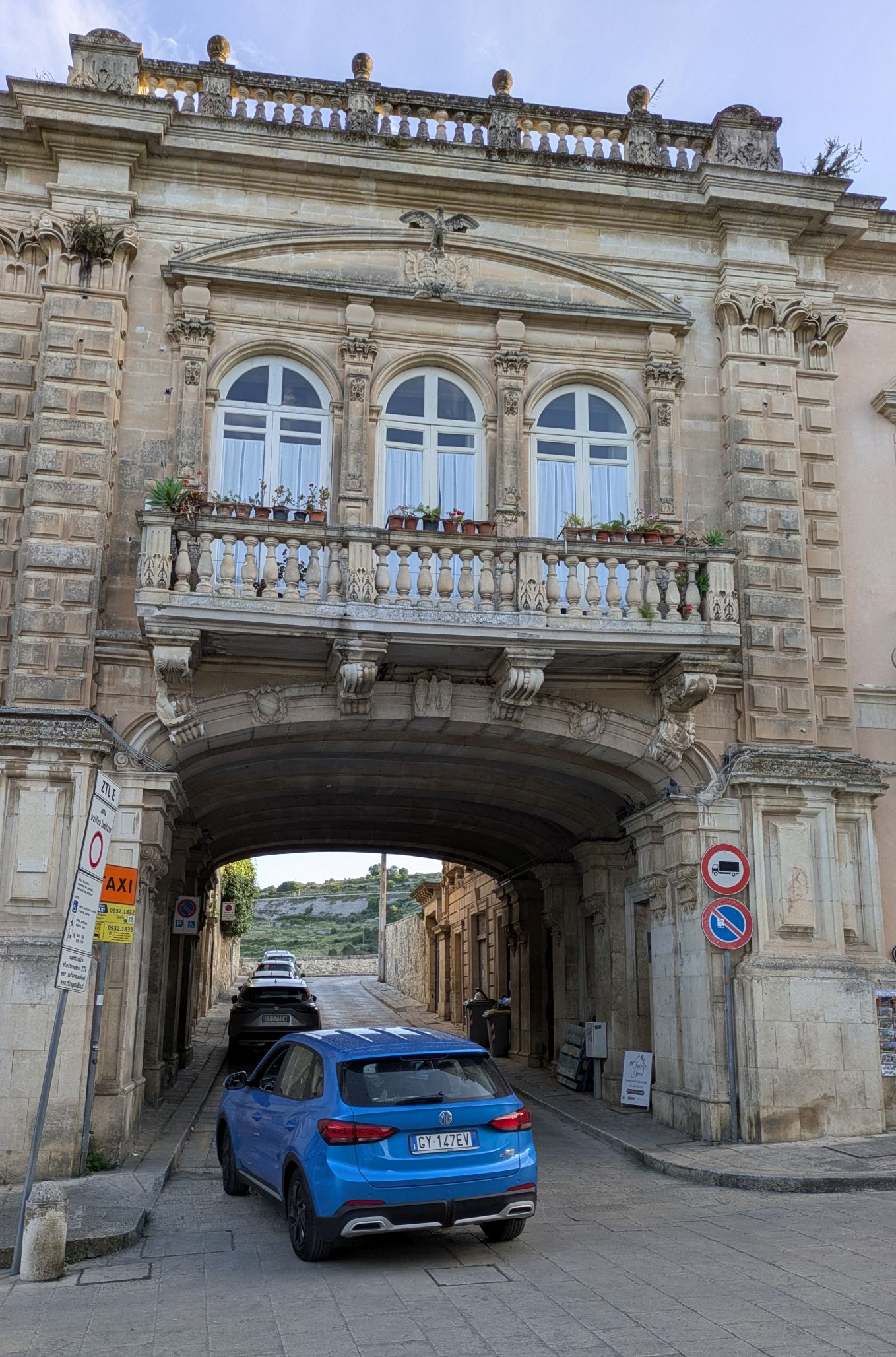
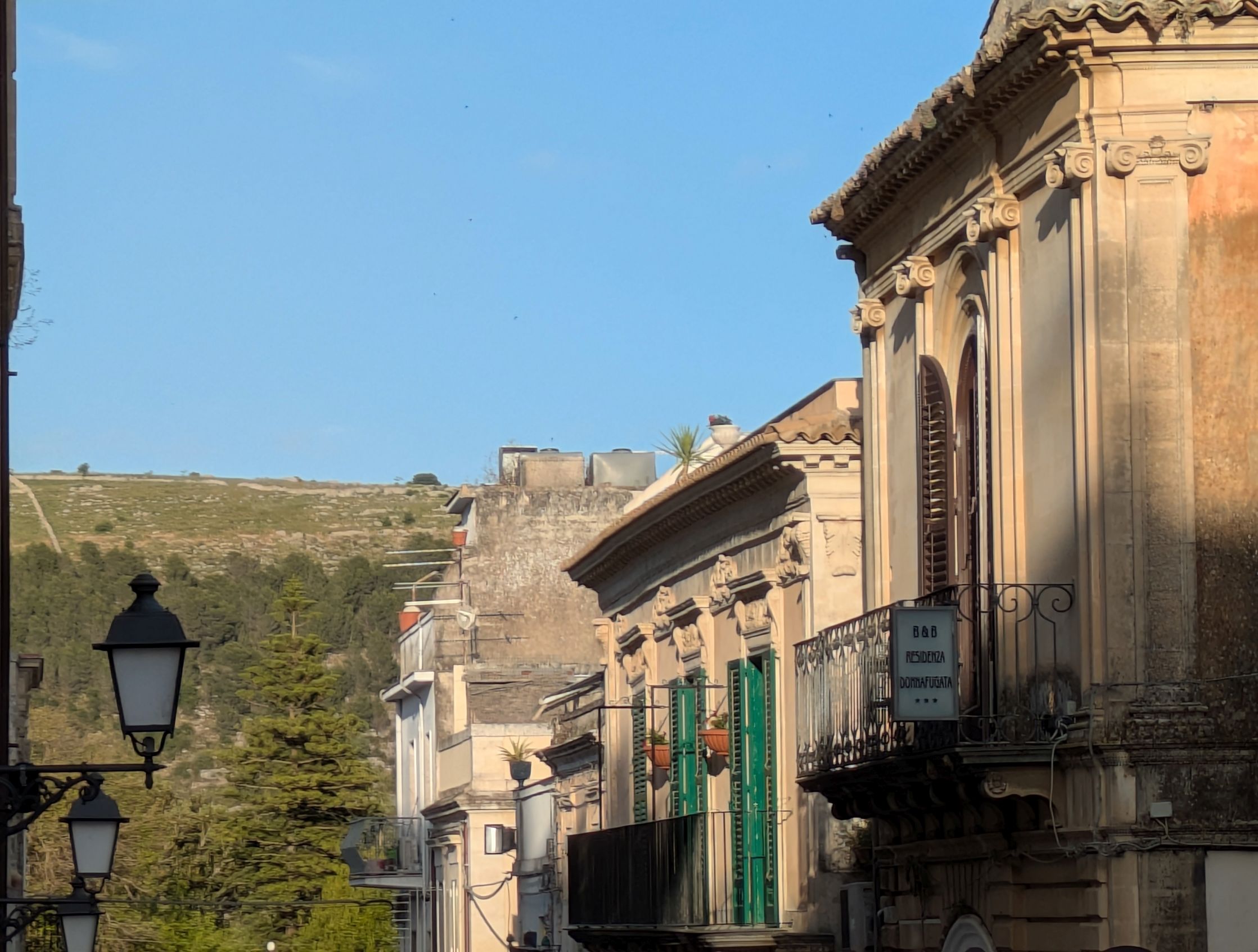
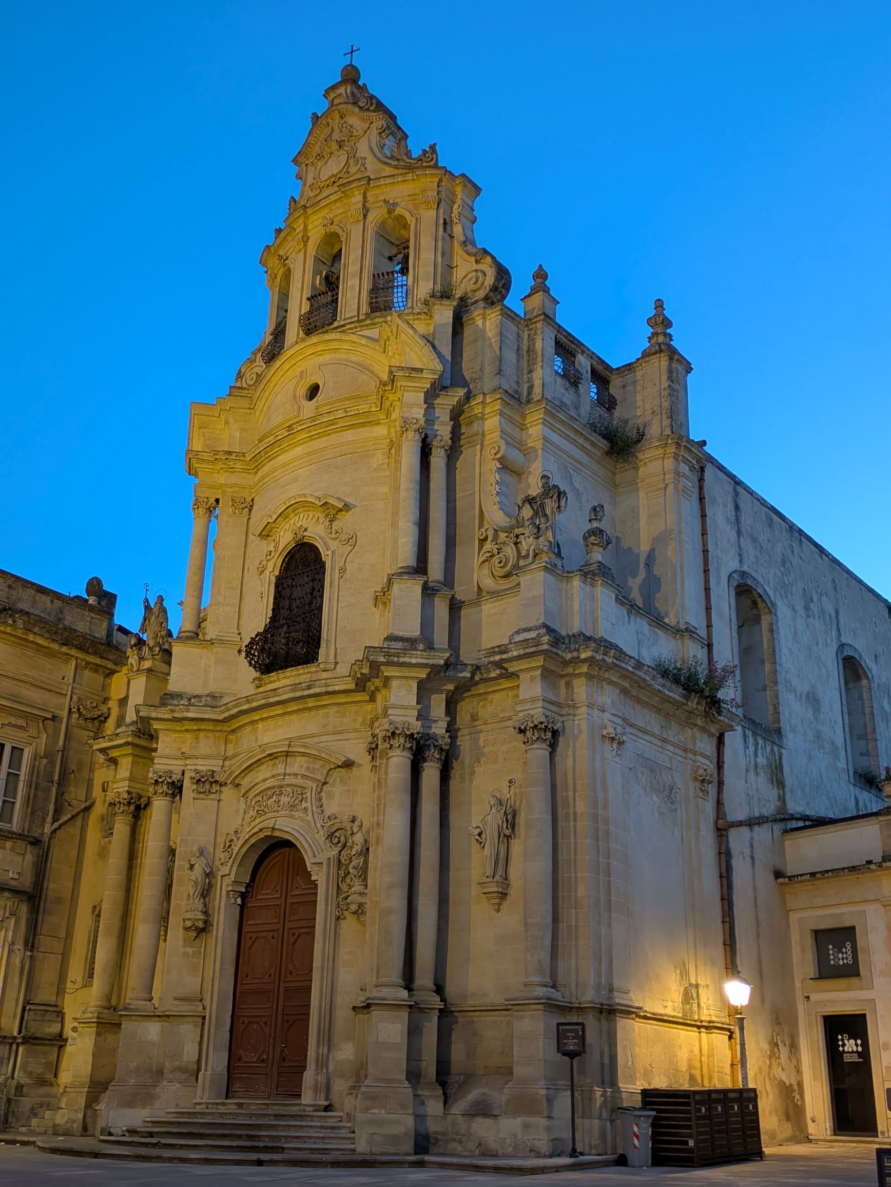
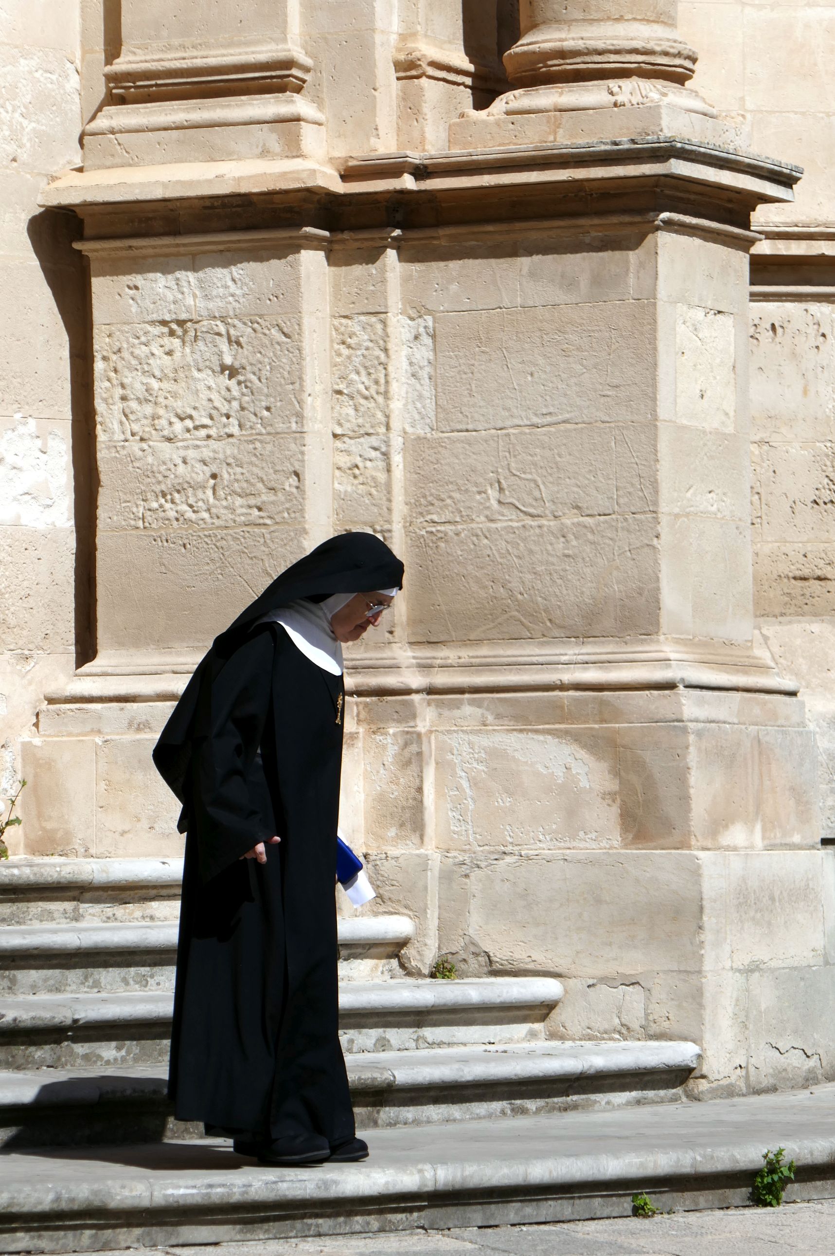
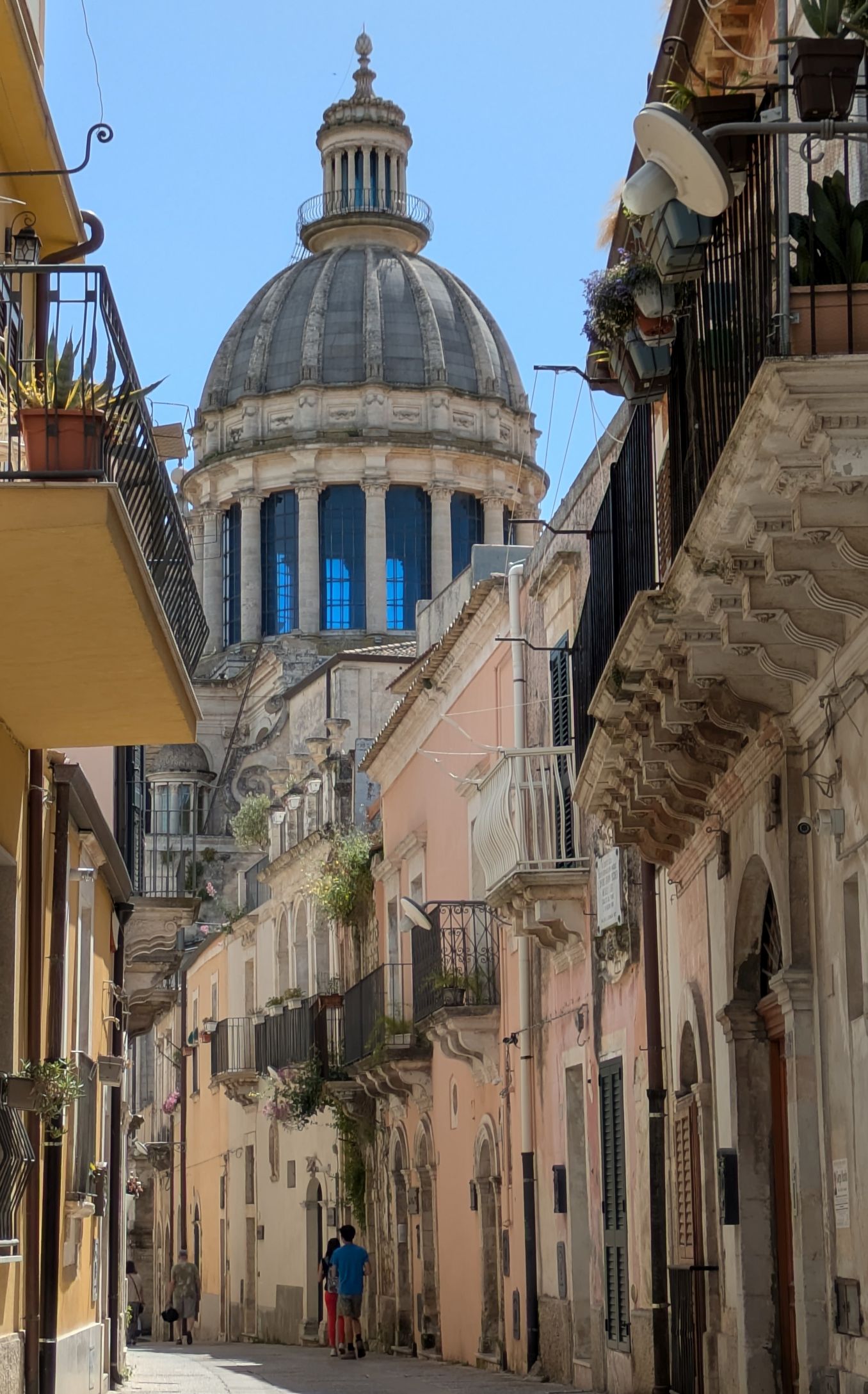
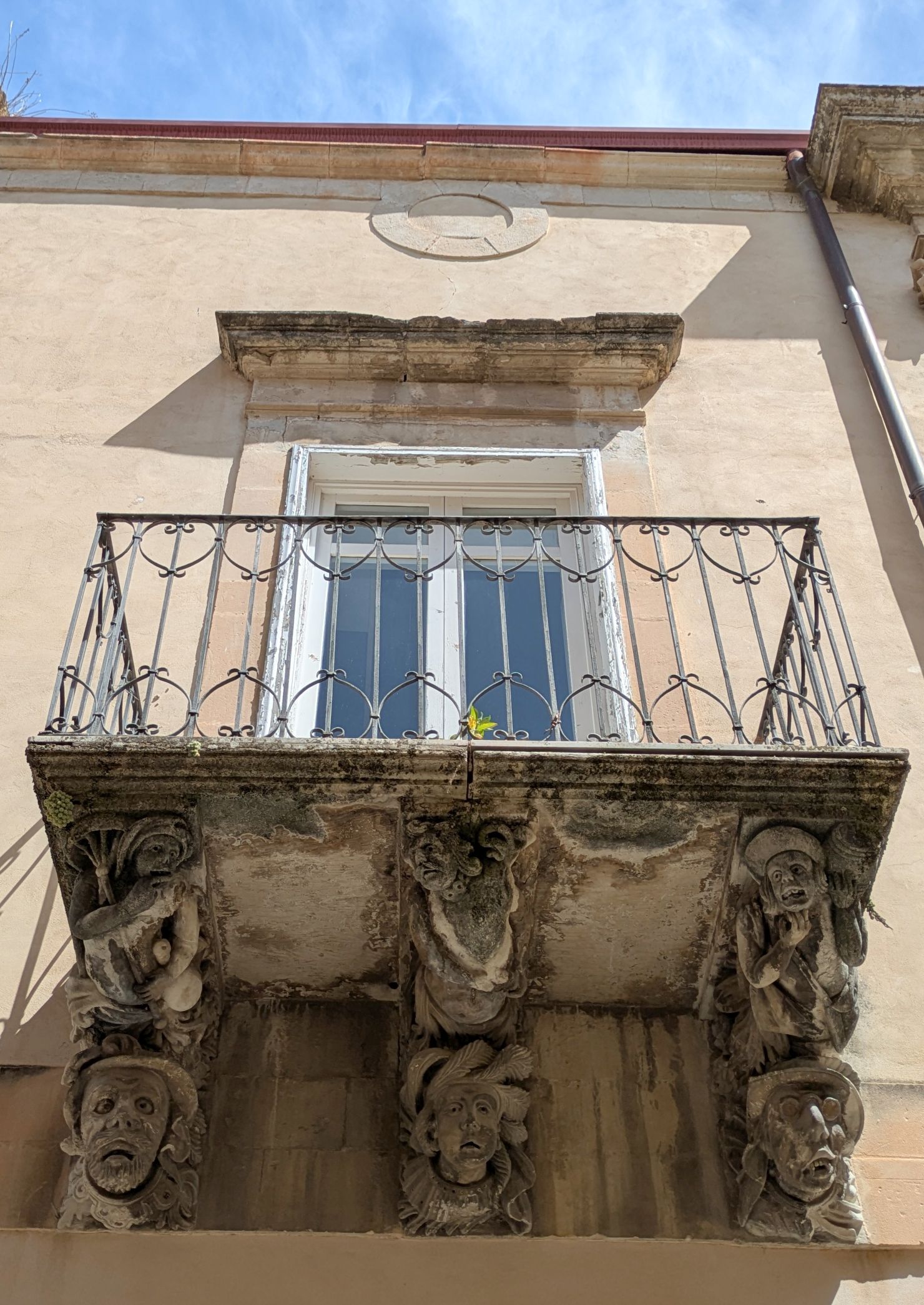
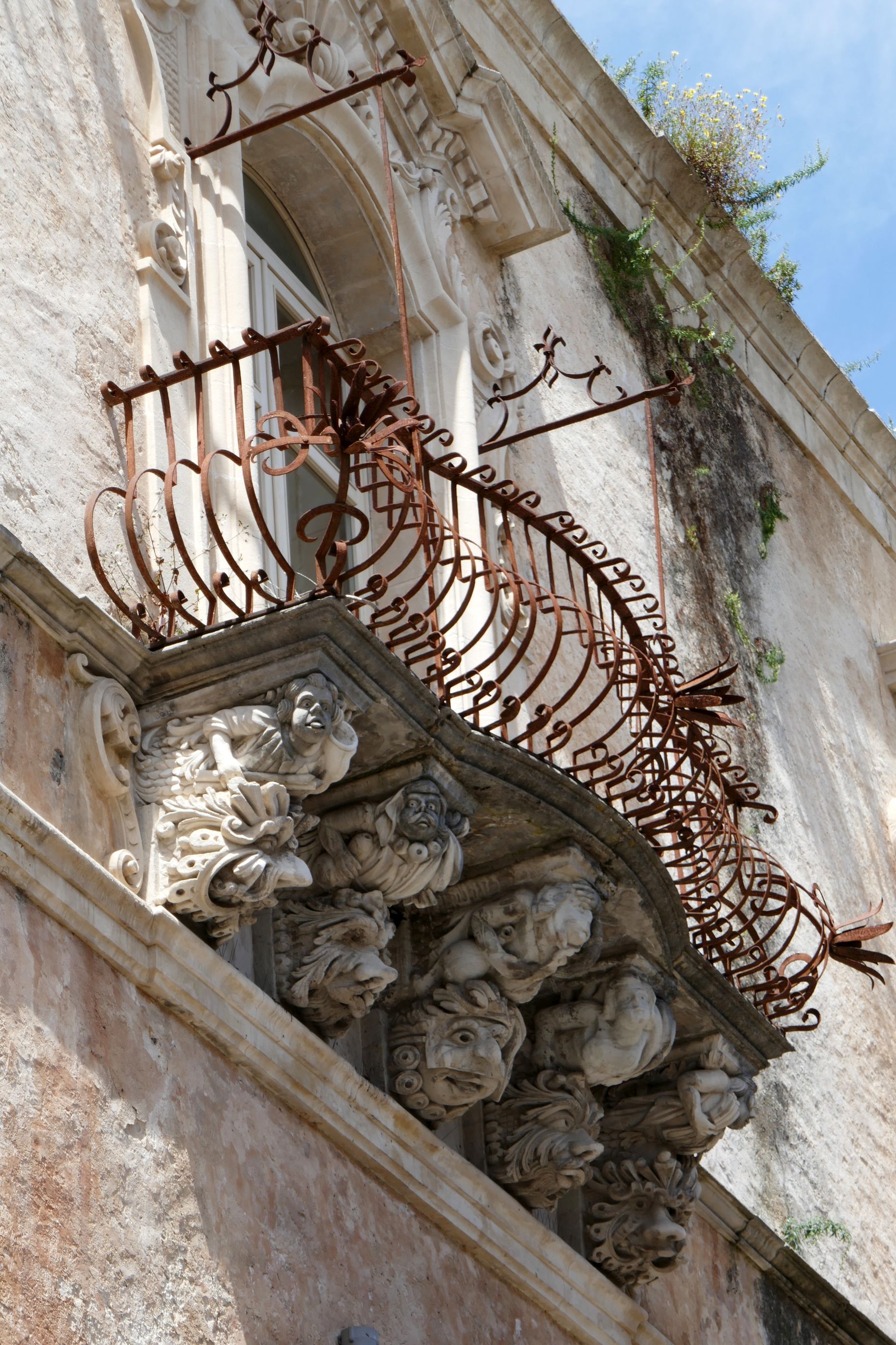
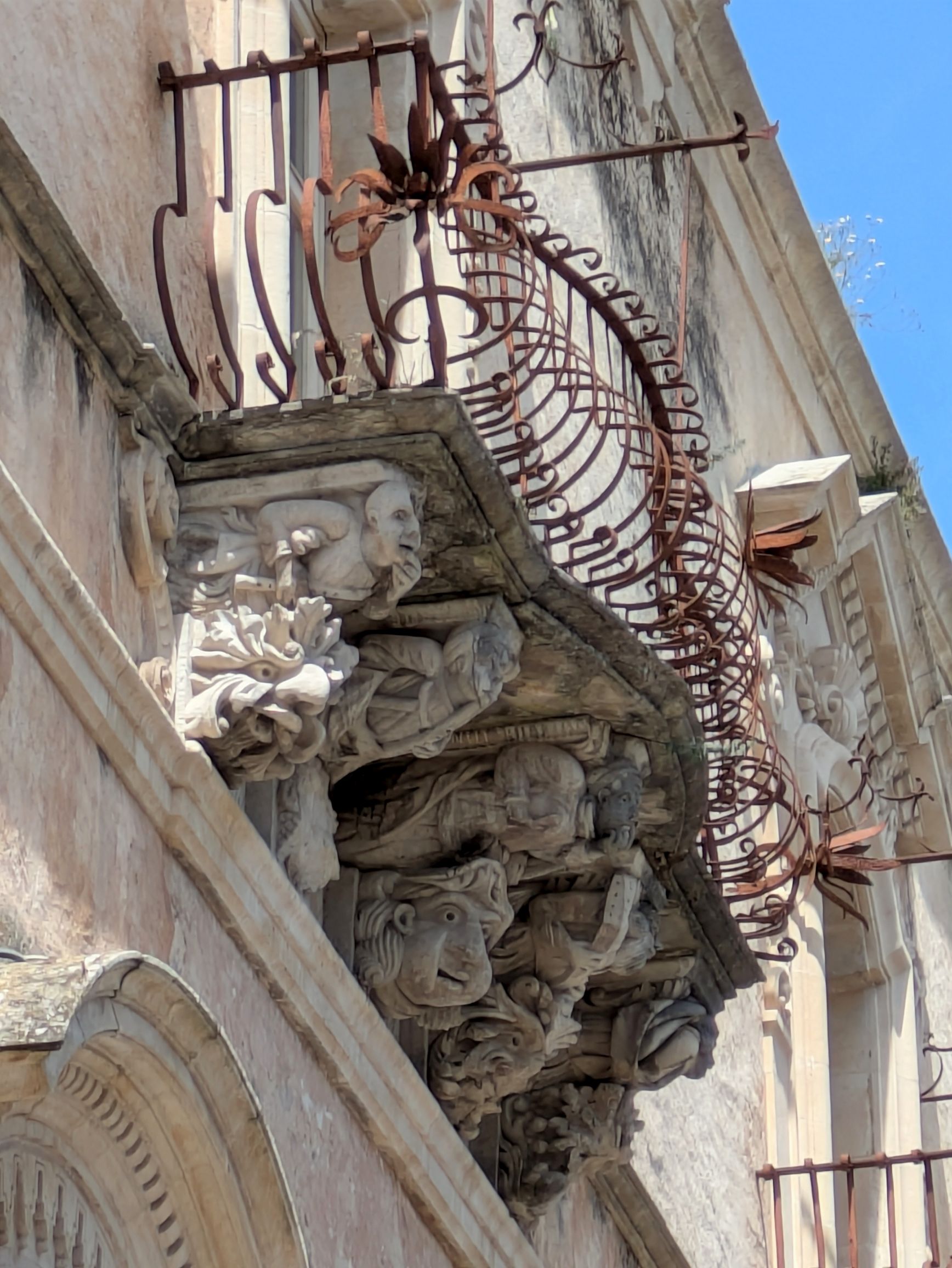
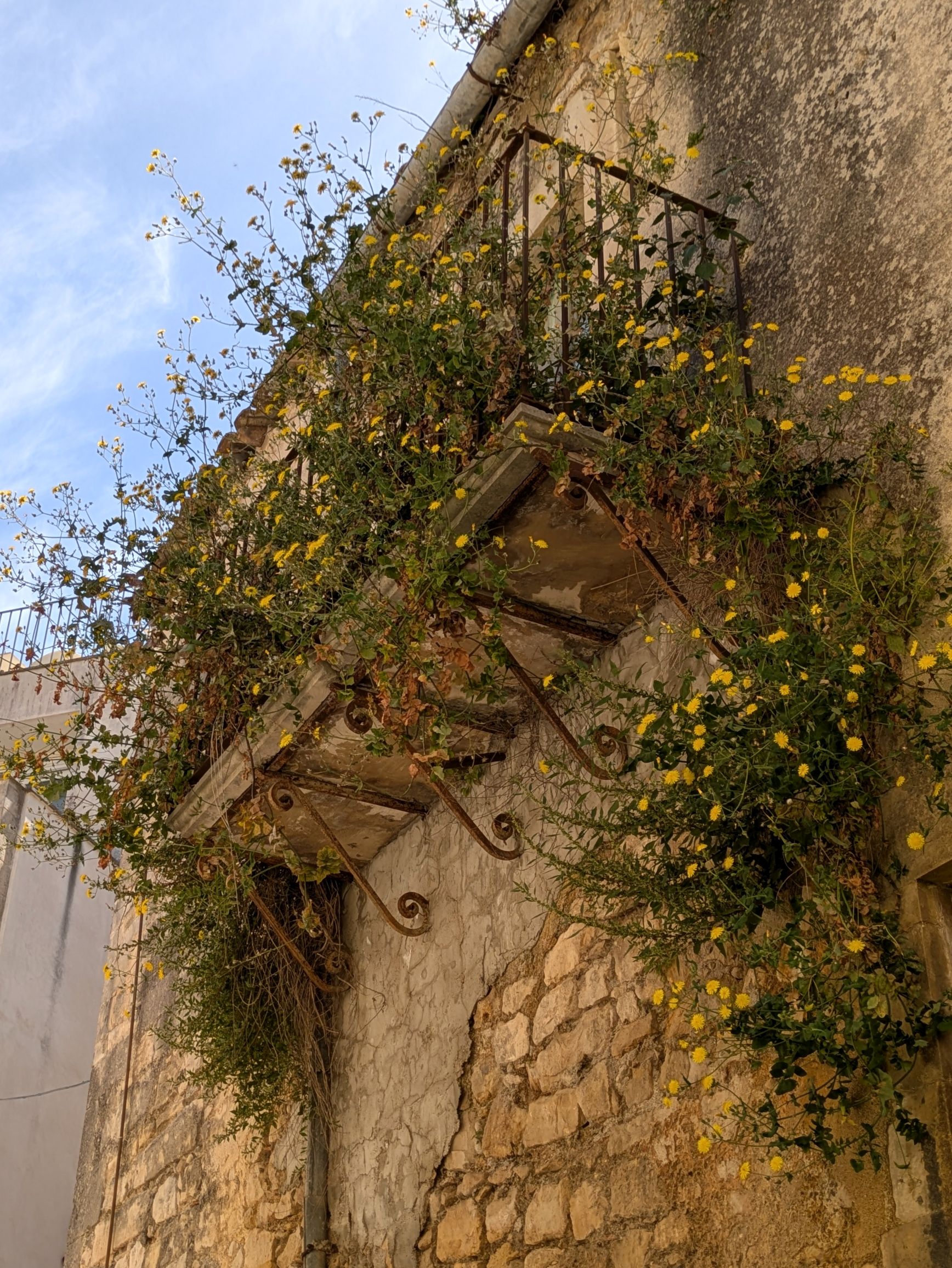
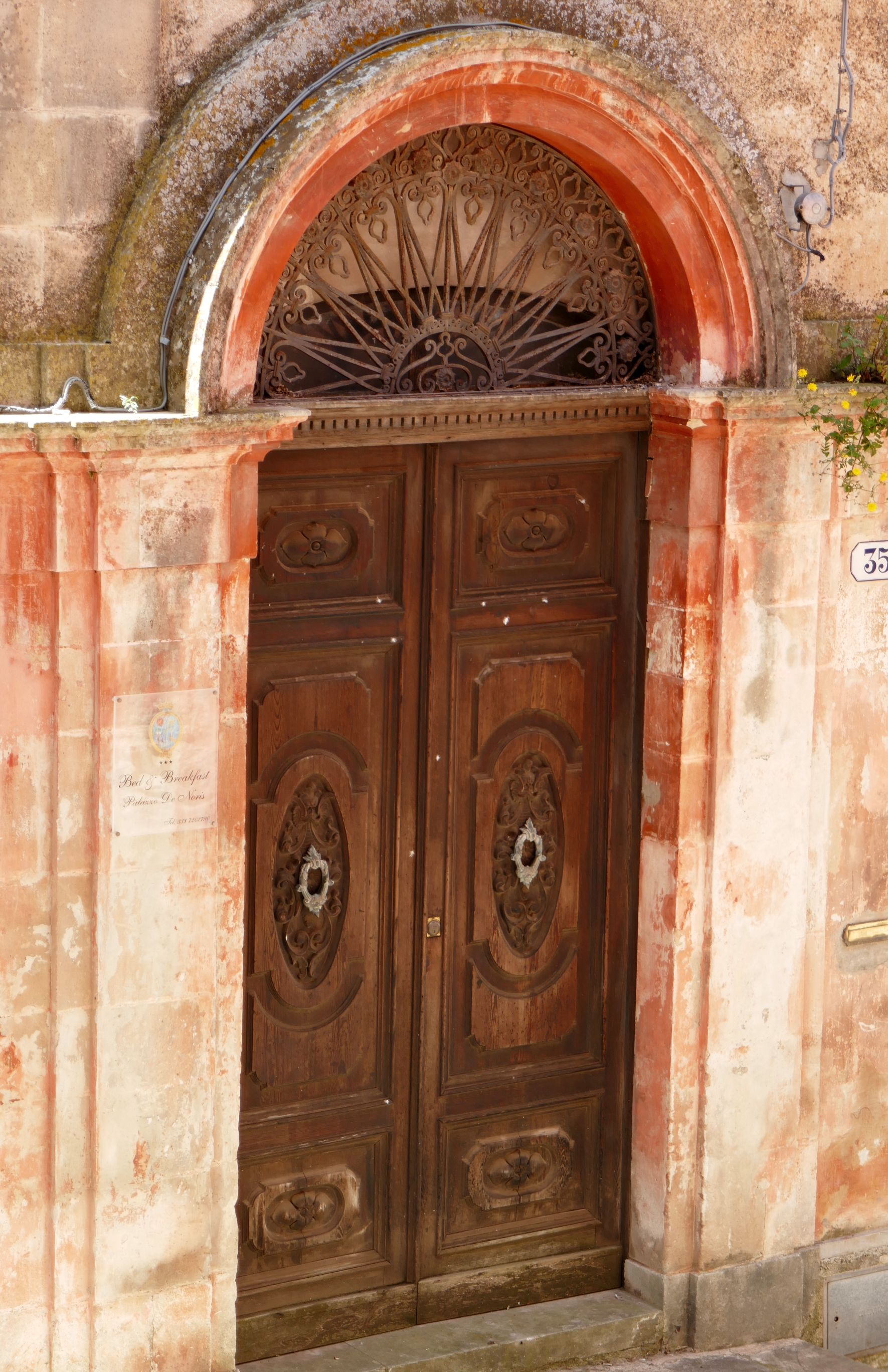
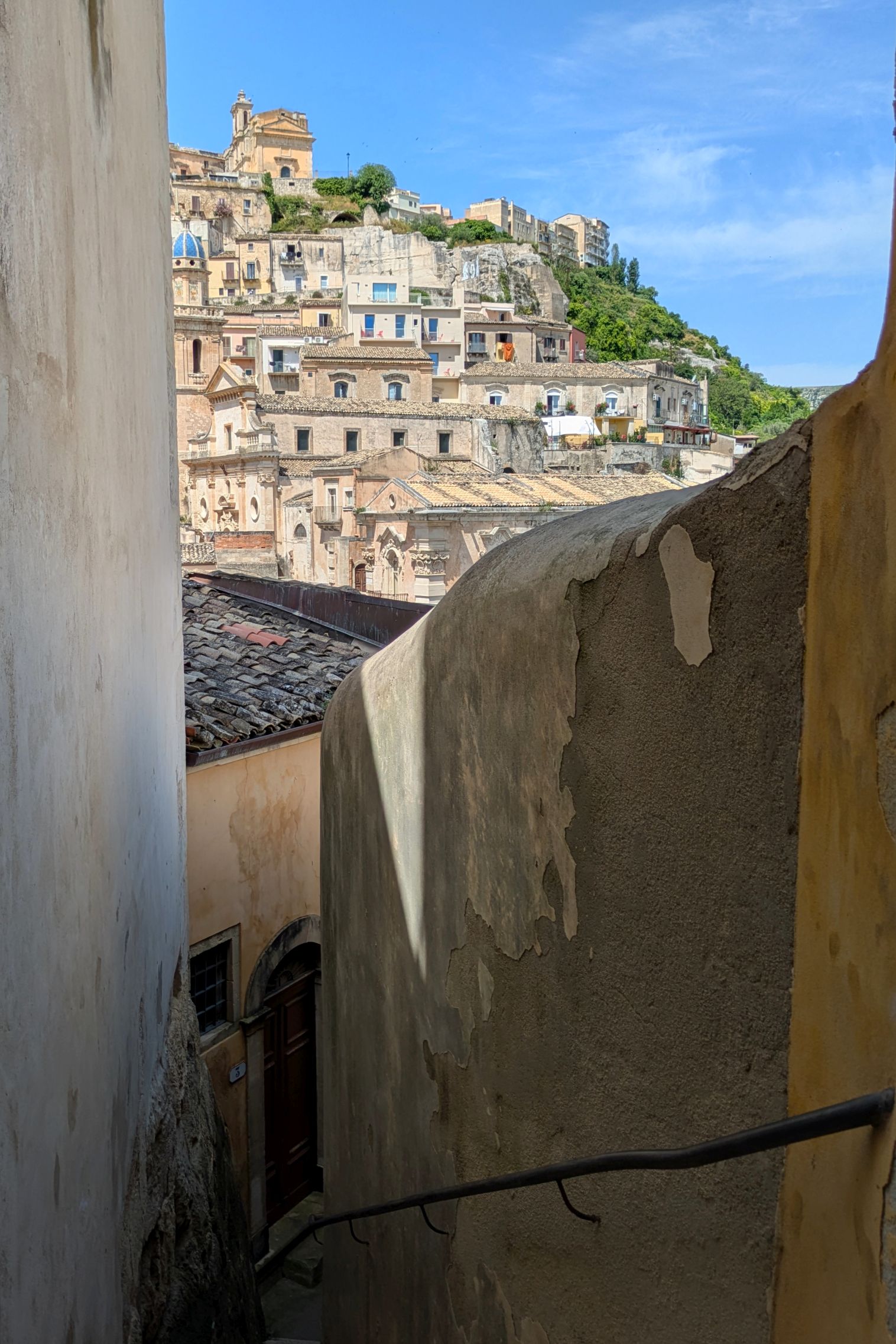
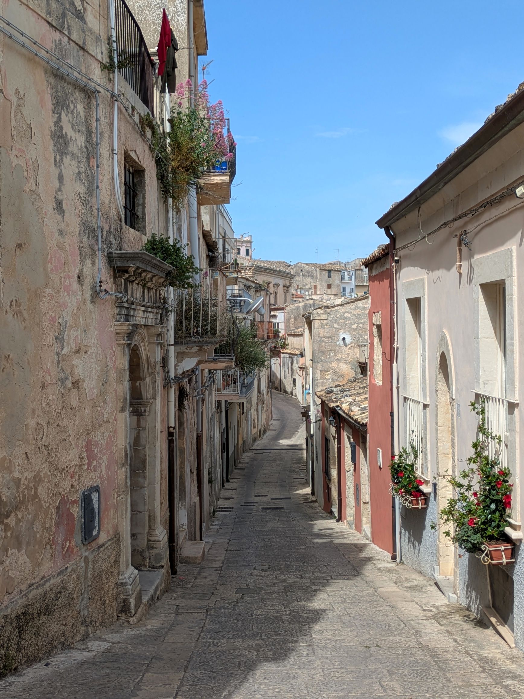
After we returned to Ragusa, we had some free time, so I explored more of the hilly town while Bruce rested.
The back side of Ragusa Cathedral…
…and the stairs leading back down to the front
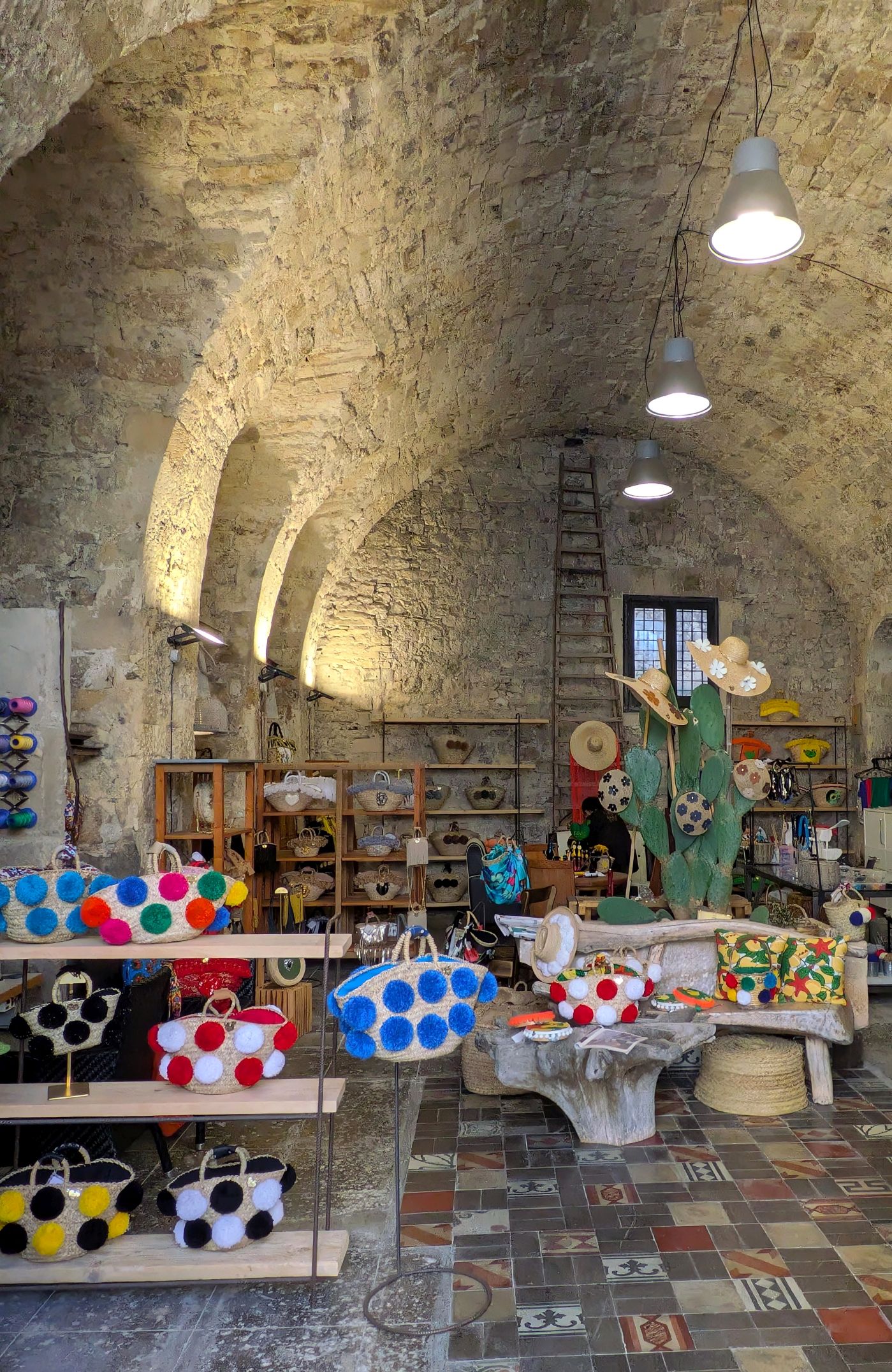
I definitely liked the store’s structure more than the contents!
The door was opened, so I poked my head in to see two men, sitting back-to-back, speaking in Sicilian and working on their Sicilian horse cart wheels.
This was our wonderful waitress the night before. Bruce brought some of his fused glass earrings with him to give as gifts, so he wanted to surprise her with a pair of blue dichroic studs to match her hair. It was a magical moment!
Later, we met up with Francesco for a surprise “Learning and Discovery,” which are pop-up surprises that OAT guides always have for us on every tour. Sometimes it is a local food treat or drink and other times it’s an experience. It’s like a box of chocolates; you never know what you’re going to get. This time, Francesco led us off the main street to an unassuming home. As soon as the owner welcomed us into his home, that old cliché’ came to mind: Don’t judge a book by its cover.
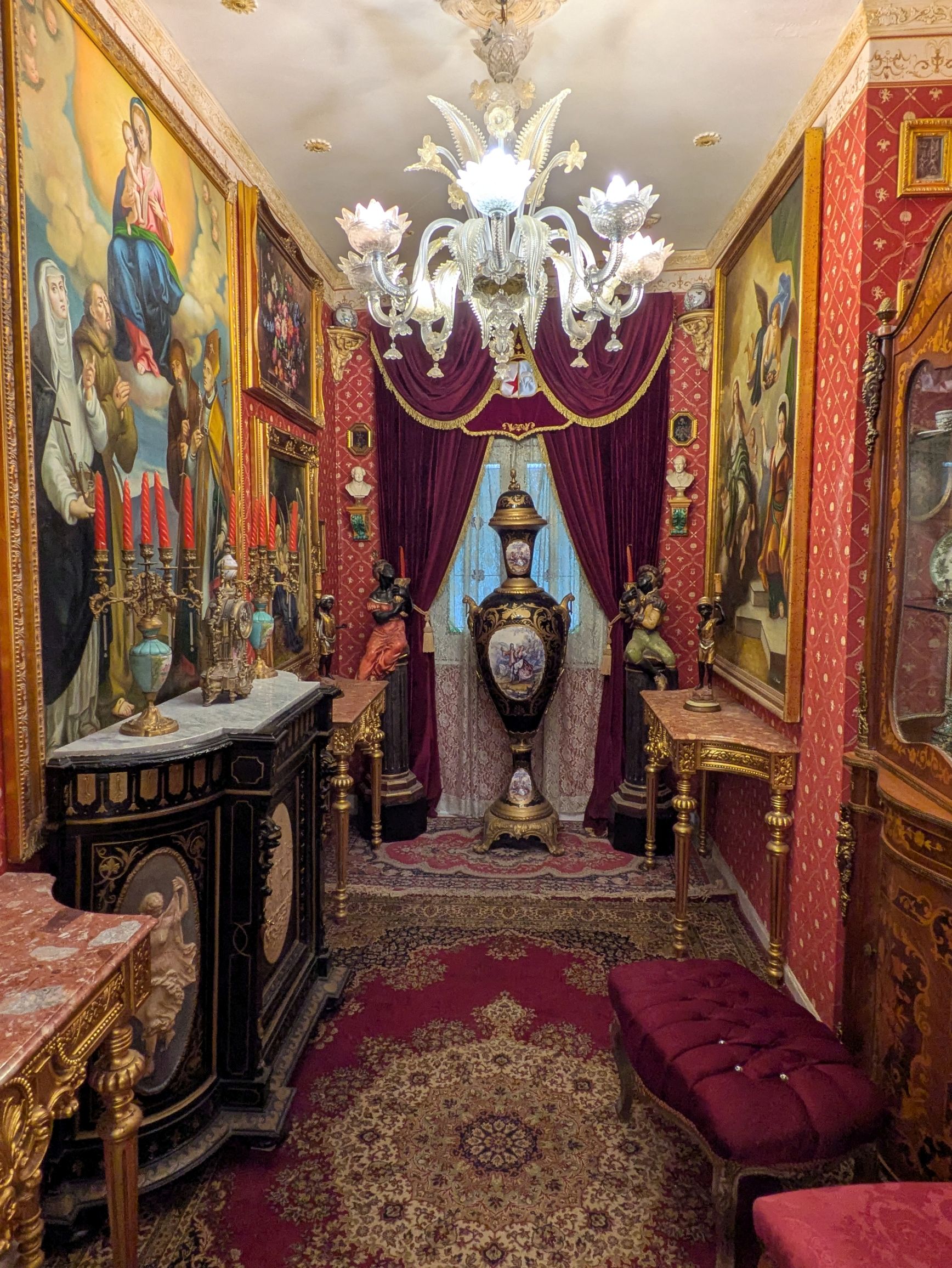
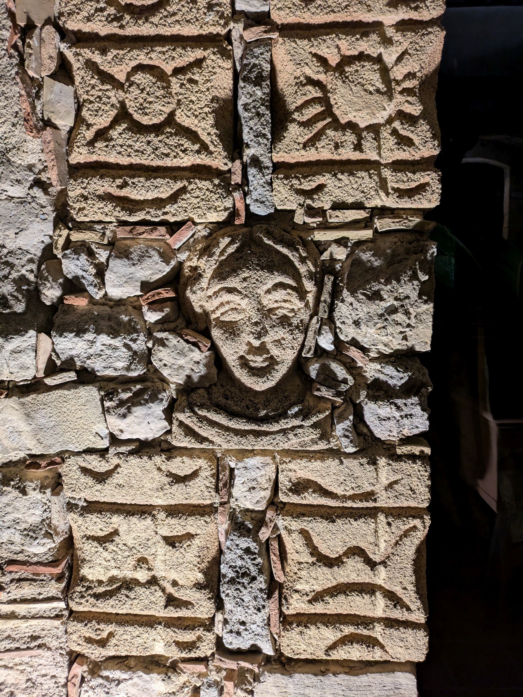
Built in 1600 with floor tiles dating to 1700, Maestro Salvatore Appiano, a man in his 80’s, lived in his home alone. It was full of antiques passed down through many generations of his family, and it serves (by appointment) as a museum. Salvatore also teaches piano lessons and gives private concerts. An organist throughout this famed musical career, we were fortunate to hear him play piano—a fitting instrument given “piano” is part of his last name.
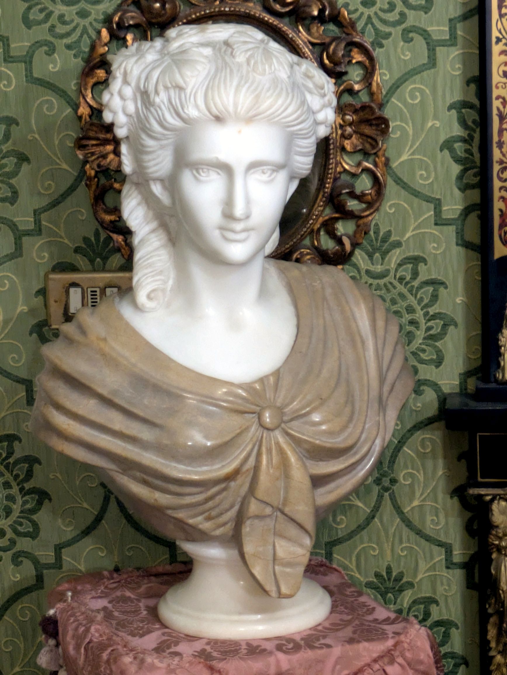
The tour of his home took us through six rooms filled with Flemish tapestries, gilt bronze chandeliers, Louis XIV-style sofas, Baroque-style mirrors, inlaid Boulle clocks and tables, console tables and corner cabinets, neoclassical style sideboards, canvases and prints, Copenhagen candelabra, and so much more. This bust is of his great-great grandmother.
It was A LOT to take in and all more than I could ever live with for more than a day. Could you imagine what the contents of his home was worth, though?
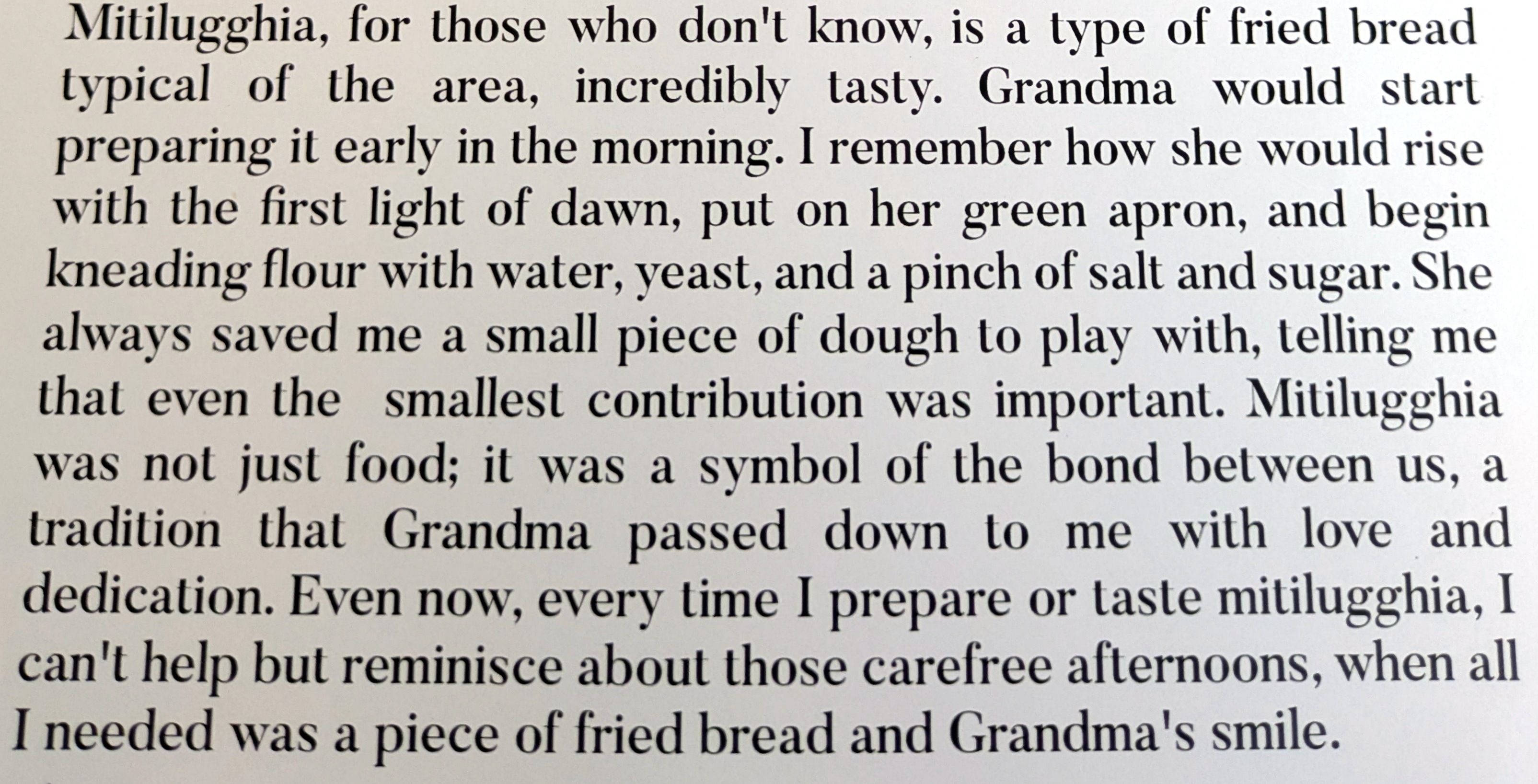
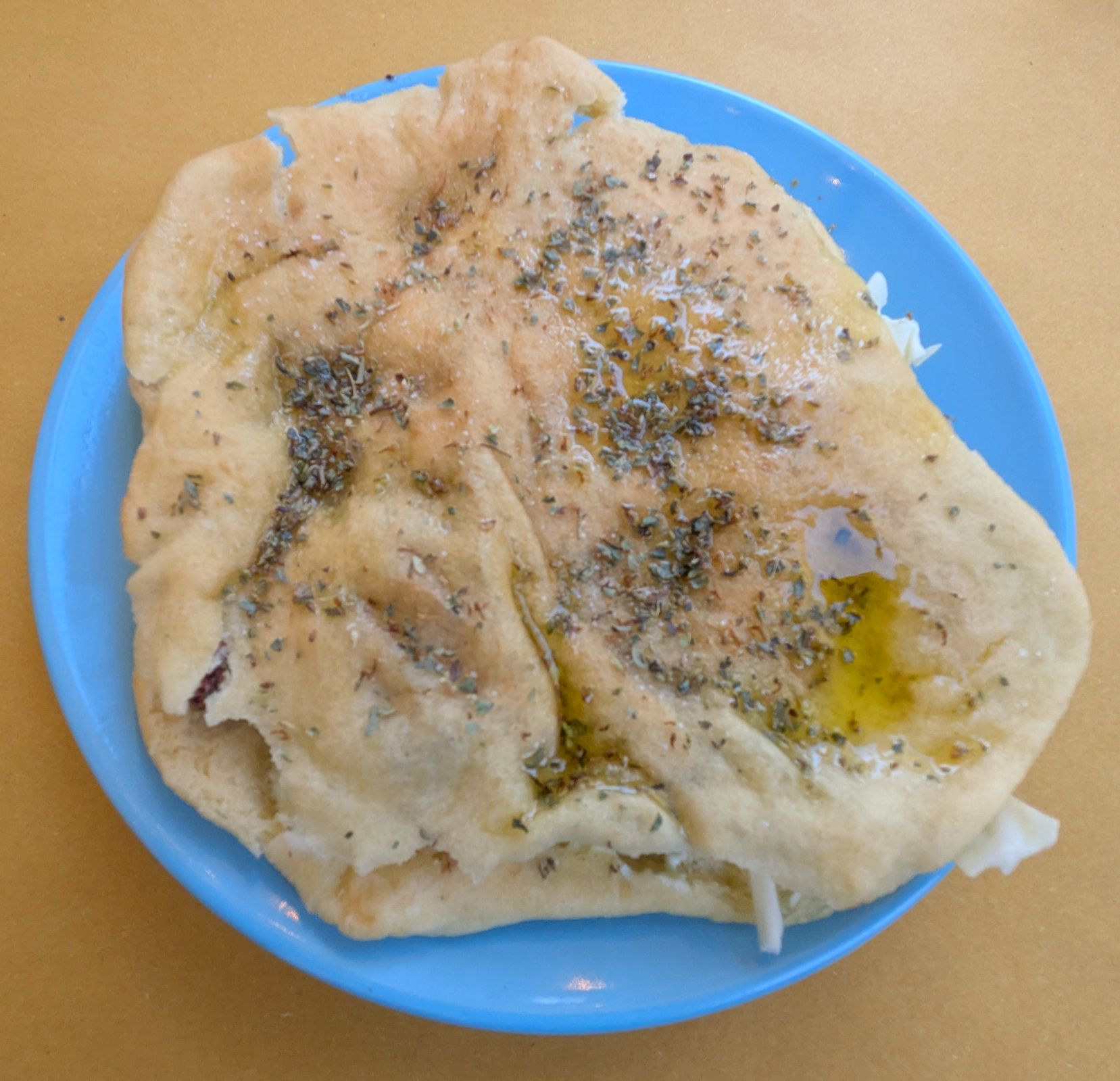
Bruce and I concluded our wonderful day enjoying an al fresco dinner at Njuria Sicilian Bistrot on my favorite street of Ragusa, watching the locals and tourists stroll by. This is part of the owner’s story, describing the history behind the delicious bread we were served with our dinners:
If you have seen the “Chocolate” section of my blog, you know chocolate is my thing. I haven’t updated my chocolate label collection on the blog since 2023, but it is currently at 348 brands from 61 countries. Everywhere I go, I’m on the lookout for something new to me, and I always manage to bring home chocolate from each trip we take.
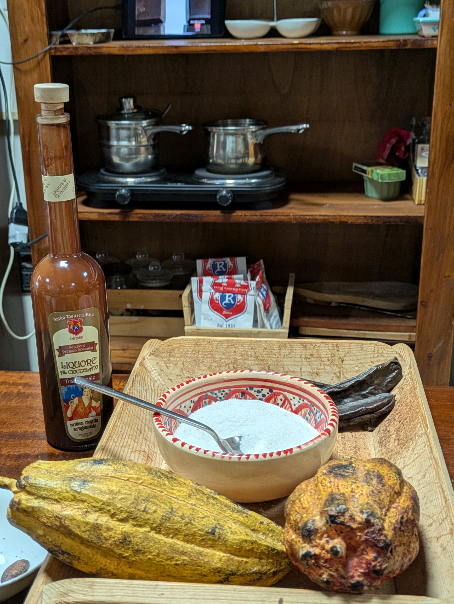
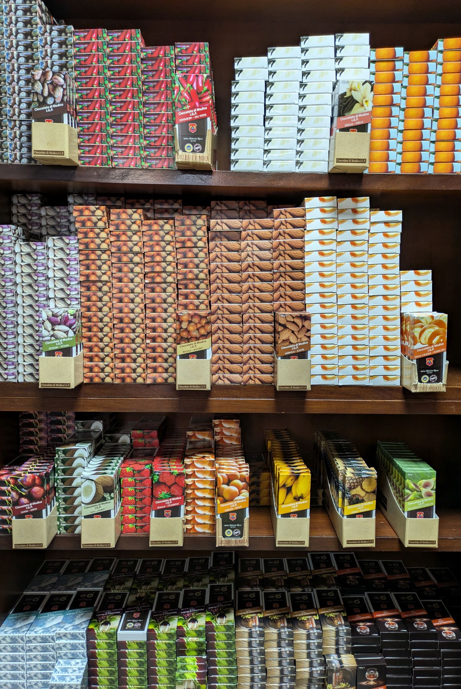
Sicilian chocolate was new to me and I enjoyed learning how it was made at Antica Dolceria Rizza dal 1935 . The gal who explained the process to us was our Ragusa tour guide the previous day. We visited the shop following our Fiat 500 ride in Modica, and it was a nice treat to sample their offerings!
The process of making Modica chocolate is different from other chocolates, because it is made with cocoa and sugar mixed in a cold-working process. It has no added fats and contains only the cocoa butter that is naturally present in cocoa beans. The ingredients are never heated above 113 degrees Fahrenheit, so the sugar crystals stay whole in the chocolate bar, giving it a grainy texture. This gives a very different mouth feel from conched chocolate, which is smooth and creamy. The advantage of eating Sicilian chocolate is that the beneficial properties of cocoa are kept intact in this process.
Modica chocolatiers have had a lot of practice honing their craft. It was first made by the Spanish when they ruled Sicily between 1500 and 1700. Now, it is the first and only PGI (Protected Geographical Indication) chocolate, a similar protection given to other European food and wine products.
(For all photos, click on the image for a full screen view.)
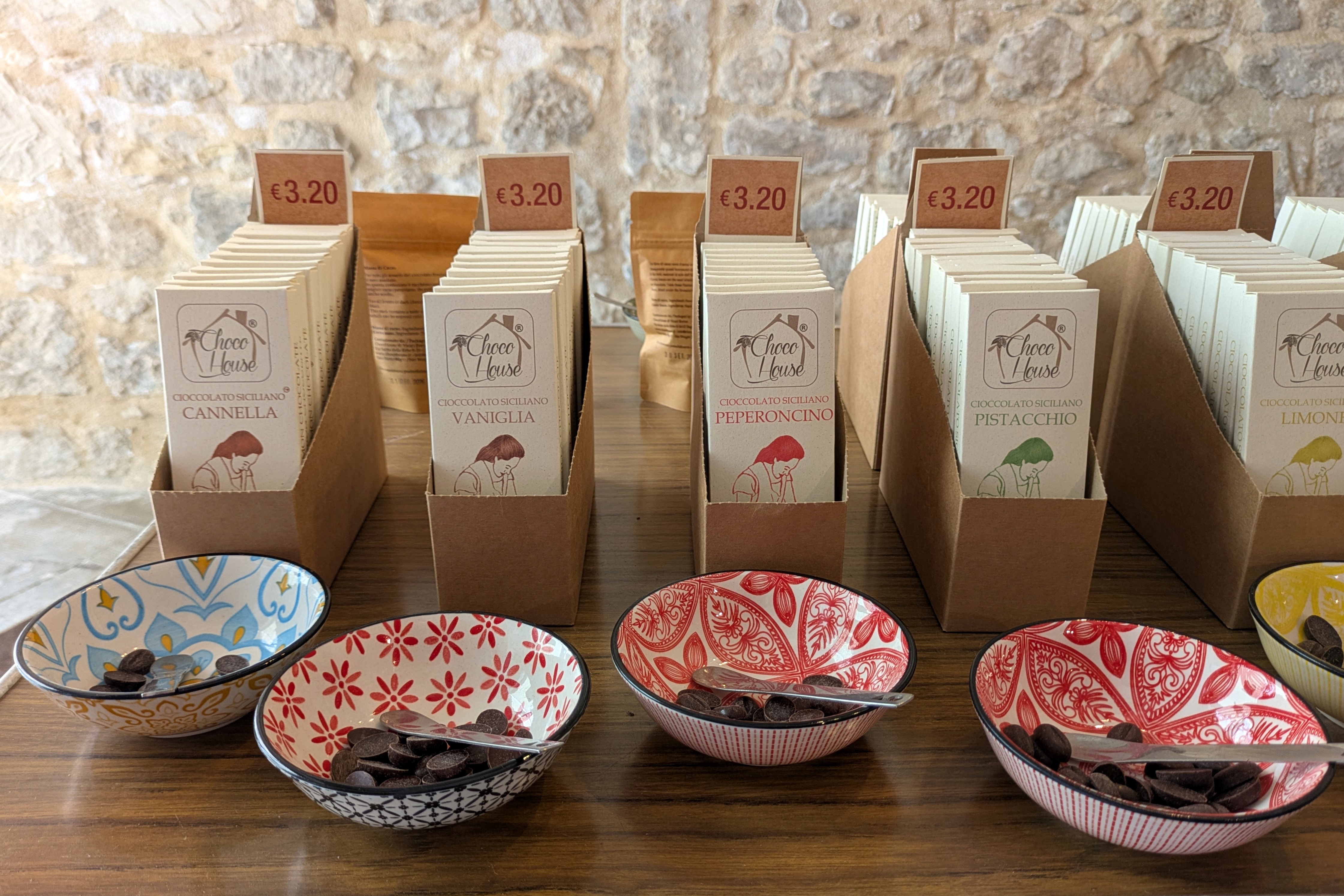
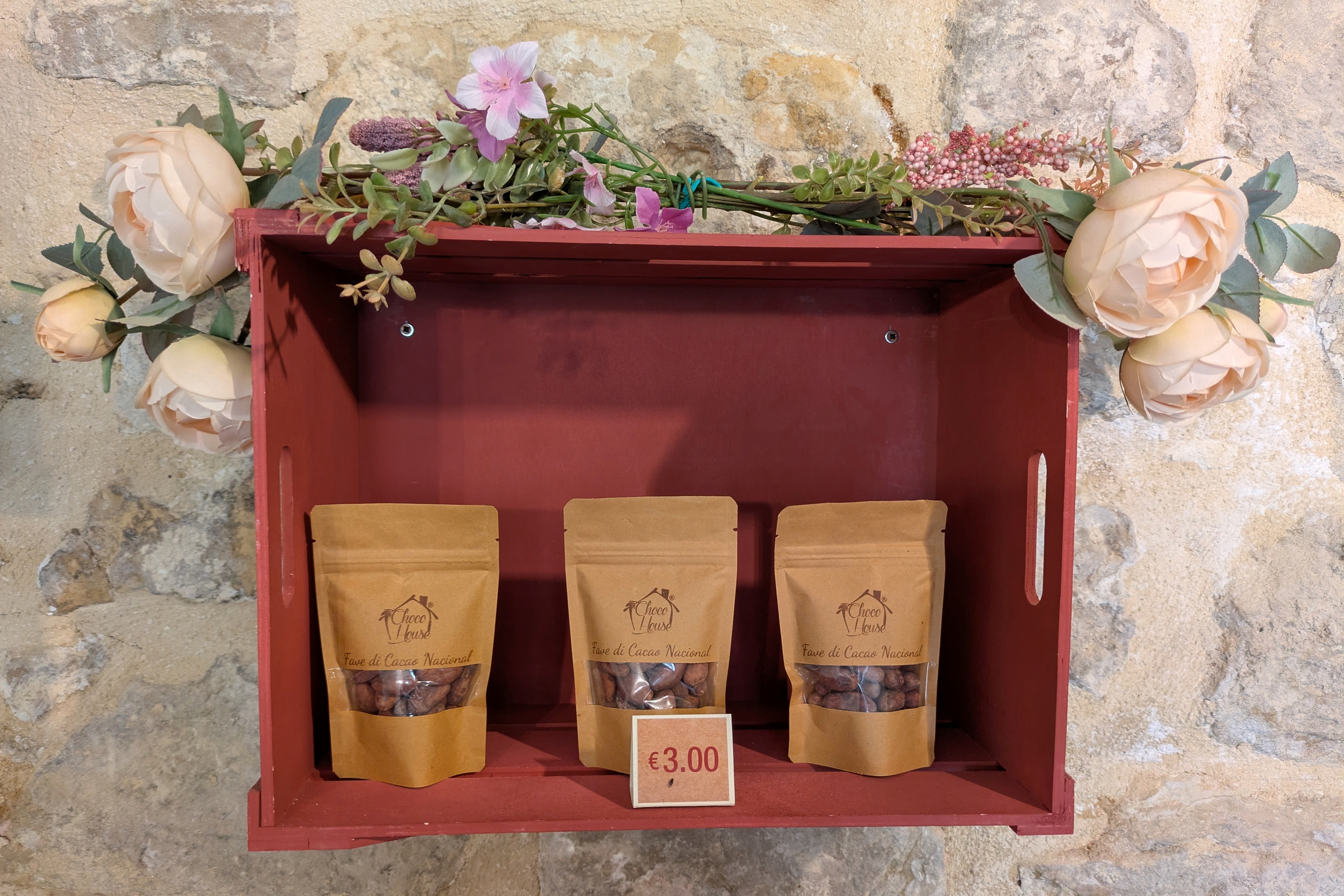
In Ragusa Choco House is making chocolate using the exact same process; however, it doesn’t have the PGI designation, since it is not made in Modica. Bruce and I visited their new shop on a side street in the town center. They also have their original location up the hill where their chocolate is made. It’s next door to their bed-and-breakfast, which I found to be an interesting combination of businesses!
Choco House chocolatier at the original location
We thoroughly enjoyed our visit, learning about the Choco House way of making chocolate and tasting the samples. Of course, I also bought chocolate bars there as I did in Modica!
Coming up next: SICILY & AMALFI COAST #16: MEMORABLE MONTALTO FARM & MORE
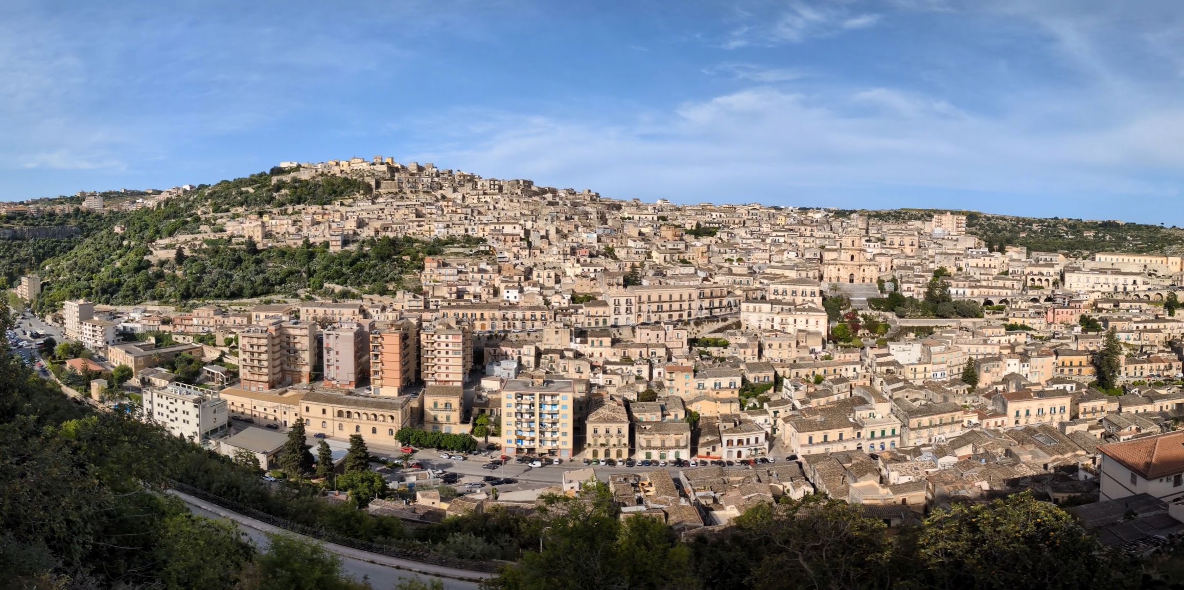
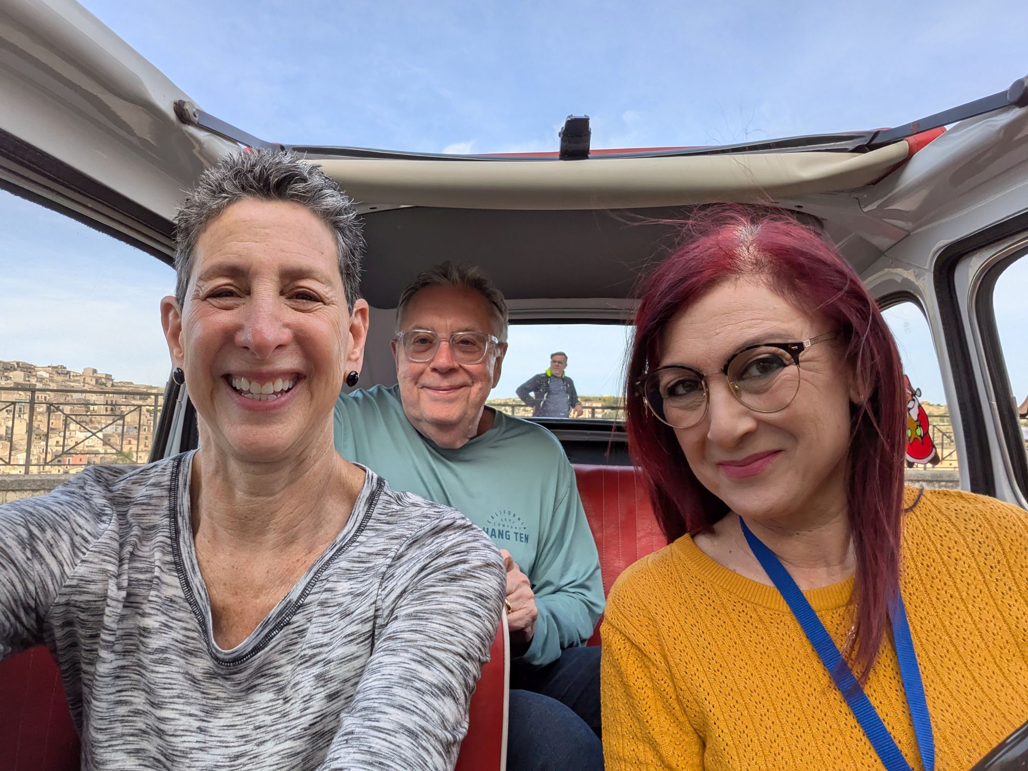
Modica, located about 12 miles from the city of Ragusa is where we were headed for our afternoon adventure, which I dubbed “Mr. Toad’s Wild Ride” when it concluded. My best friend, Laura, will know exactly what I mean by that. We grew up 30 minutes by car away from Disneyland and used up our left over “A” tickets on that ride and laughed ourselves silly. (I’m dating myself here, because ticket books for rides were discontinued in 1982.) She would have loved this!
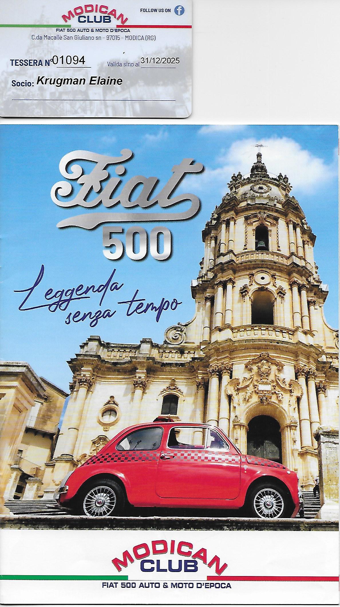
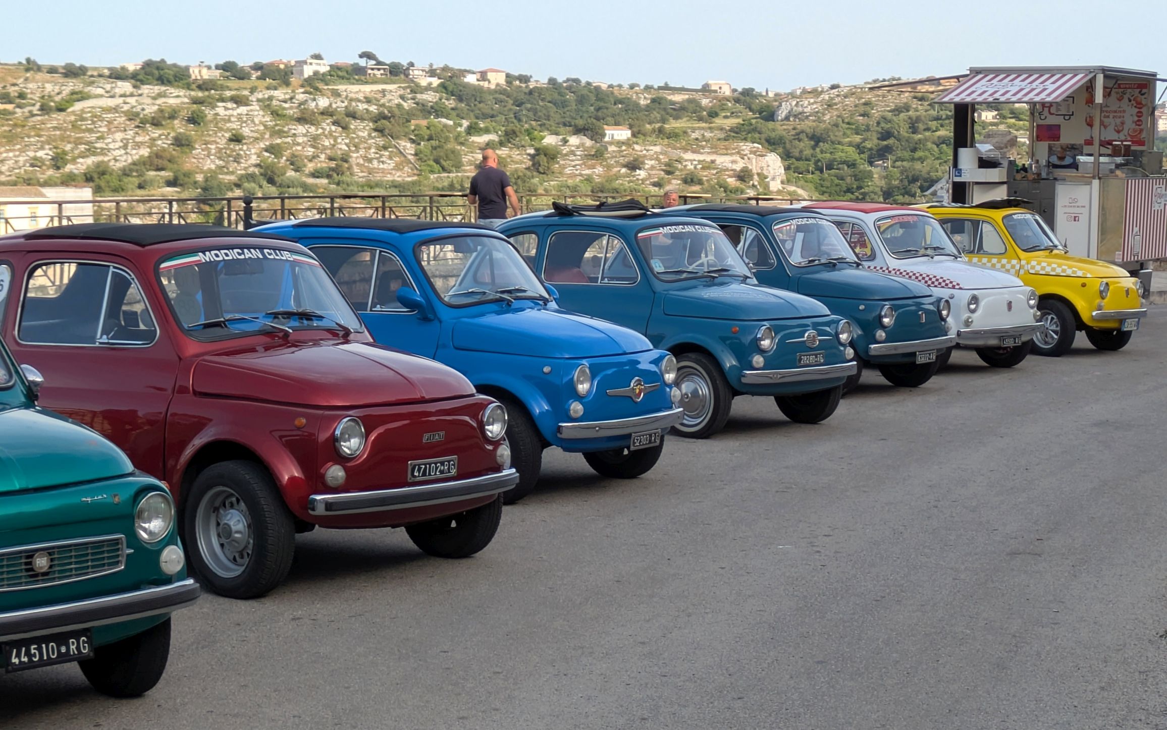
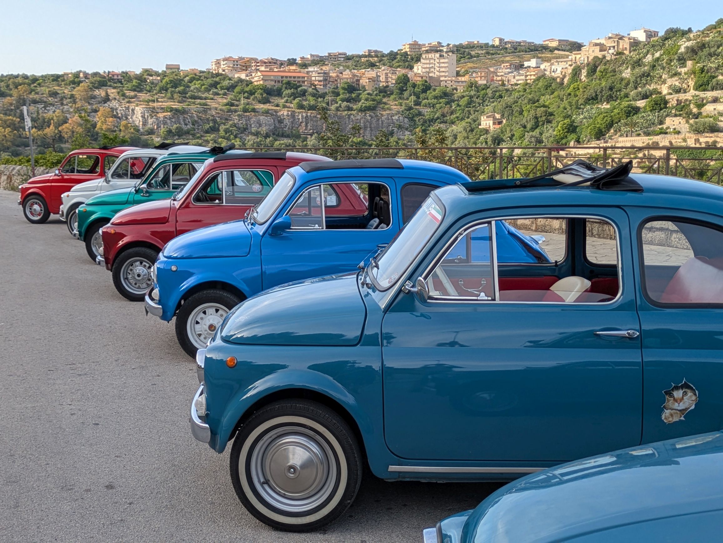
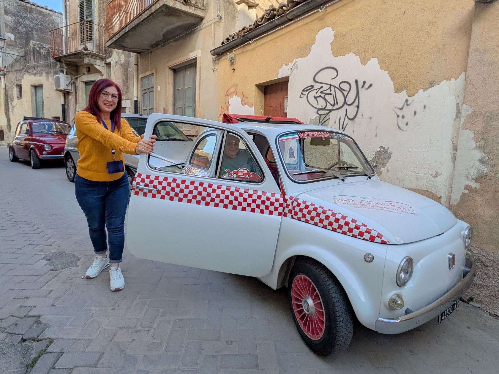
The Modican Club’s version of Mr. Toad’s Wild Ride is a drive through the streets of Modica in a vintage Fiat 500, a tiny little thing that is perfect for maneuvering through the narrow streets and lanes. Since the club isn’t a licensed tour company and are only permitted by Italian law to give rides to other club members, we were required to join the club to catch a ride. So, all sixteen of us (Uh, make that 17, because there was no way Francesco, our tour leader, was going to sit this one out!) became club members and received our official membership card.
(For all photos, click on the image for a full screen view.)
The club has been in existence since 2013 when a group of Fiat 500 enthusiast friends thought it would be a great idea to form a community of owners, collectors and Fiat fans. The original group of eight has grown to 100, and they are having a blast in their 1957 – 1972 era 500’s!
Ours is the white and red one!
We had a blast, too, in our follow-the-leader caravan as we made our way through the windy streets of Modica.
Halfway through our ride (which wasn’t necessarily fast, just windy on VERY narrow streets), we stopped at a beautiful viewpoint overlooking the city of Modica below.
After that, our ride got a whole lot more fun:
Next up: SICILY & AMALFI COAST #15: CIOCCOLATO DI MODICA / CHOCOLATE OF MODICA
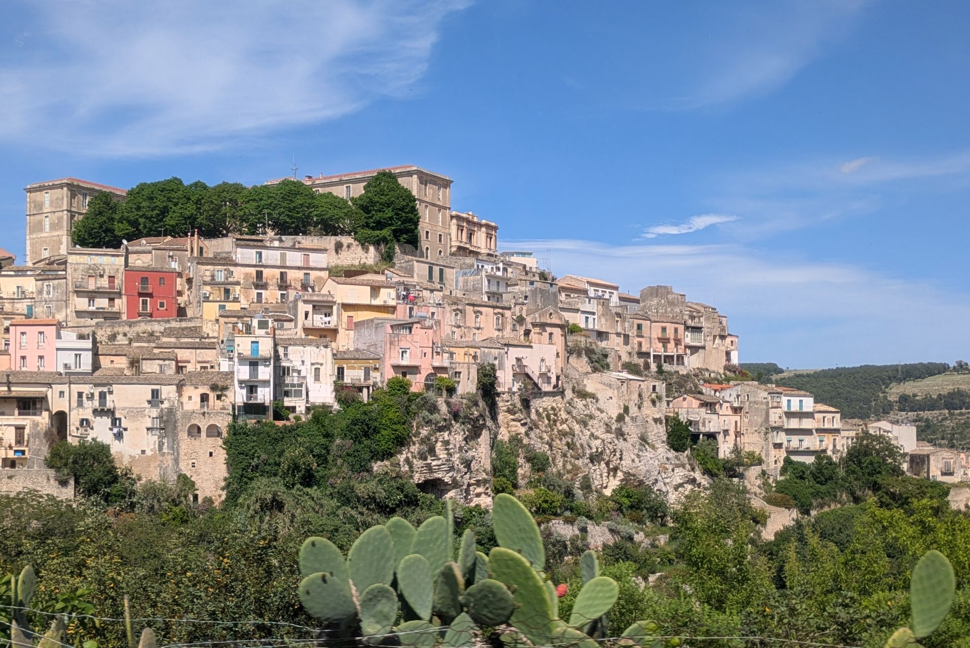
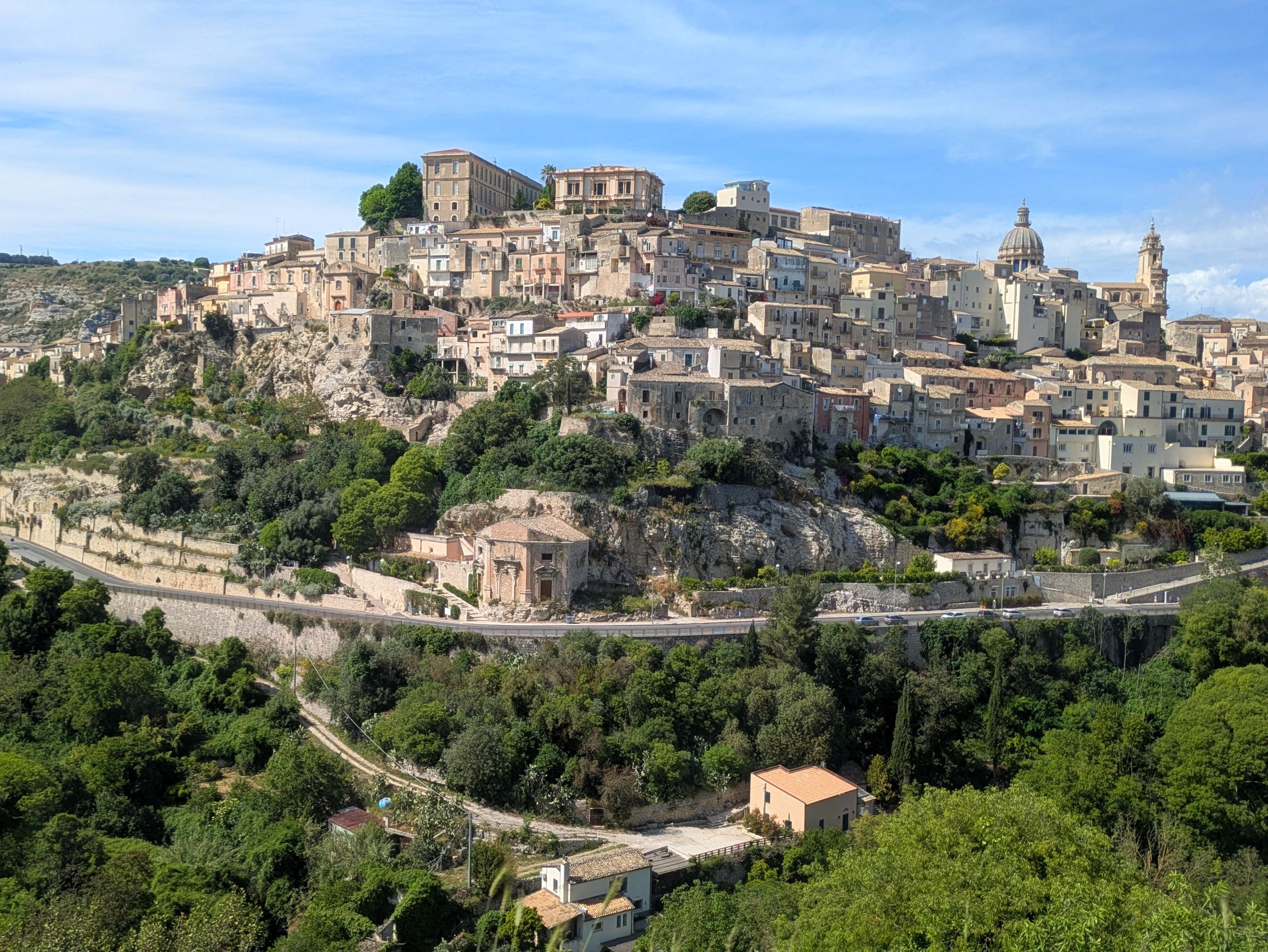
We arrived in Ragusa during a beautiful late afternoon. Around every turn was a spectacular view, which I was able to capture out the bus window:
(For all photos, click on the image for a full screen view.)
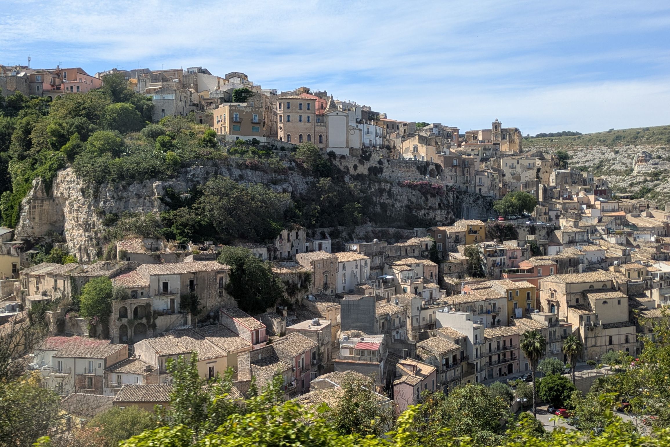
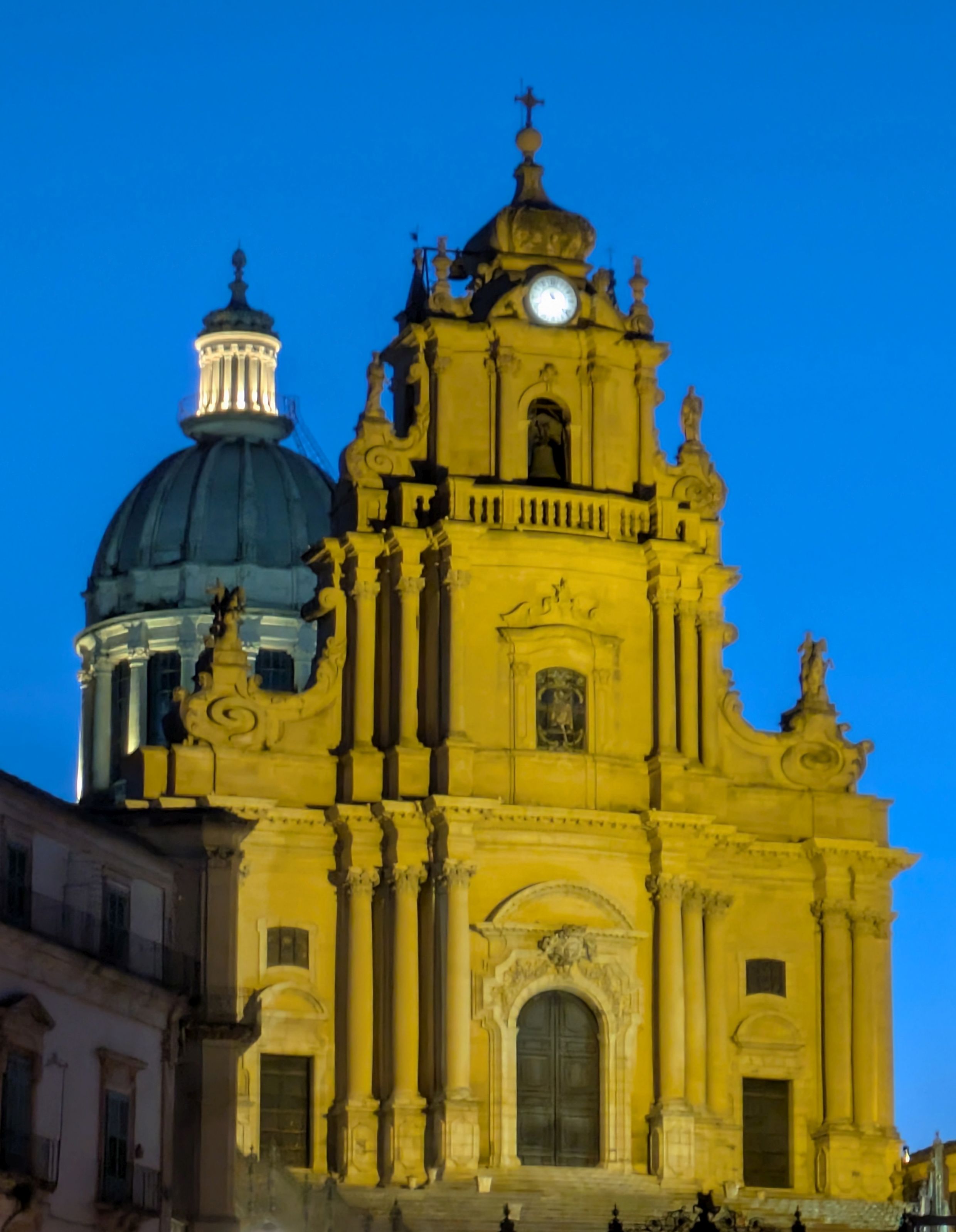
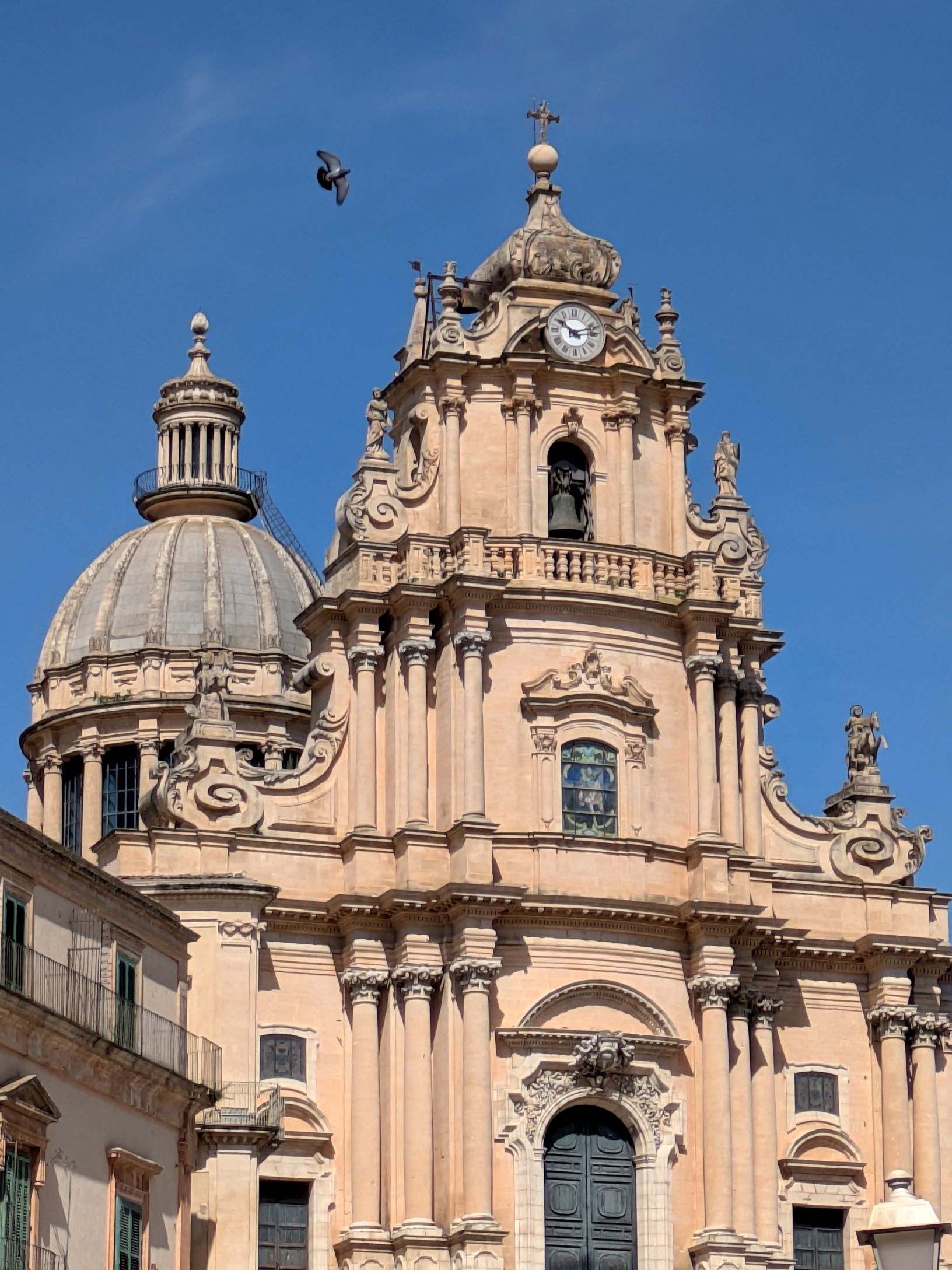
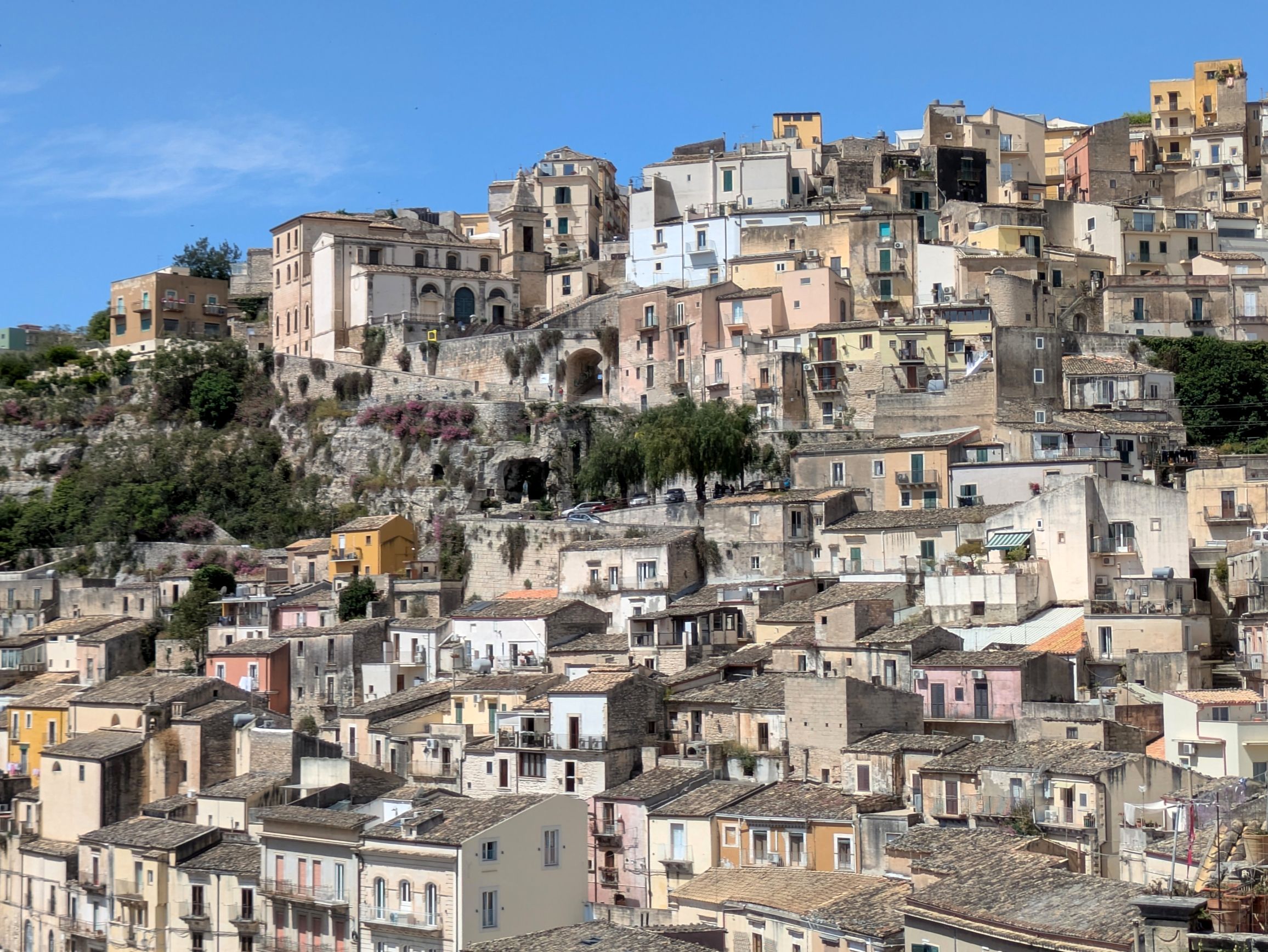
Located in the province of the same name, Ragusa is a city of just under 74,000 people. I was instantly attracted to the hilliness of it and how the homes and businesses were built into the hillsides. Having grown up in flat-as-a-pancake, gridded lot-and-block of Lakewood, California, I loved the steep and narrow windy roads and abundance of staircases. It was all so charming to me!
The entire city is a UNESCO Heritage Site for its cultural and historical significance. The origins of Ragusa can be traced back to the 2nd millennium BC. In 1693, a massive earthquake leveled the city killing 5,000 people, so it was rebuilt in the Baroque style of architecture. Many of those buildings still stand today.
After settling into our hotel room, Francesco led our group on an orientation tour before dining al fresco at a restaurant with a lovely view of San Giusseppe Church.
Lobby of our hotelThe view out to the side from our hotel room patio
This sign says, “No peepee no poopoo/ Don’t be a bitch, pick it up”
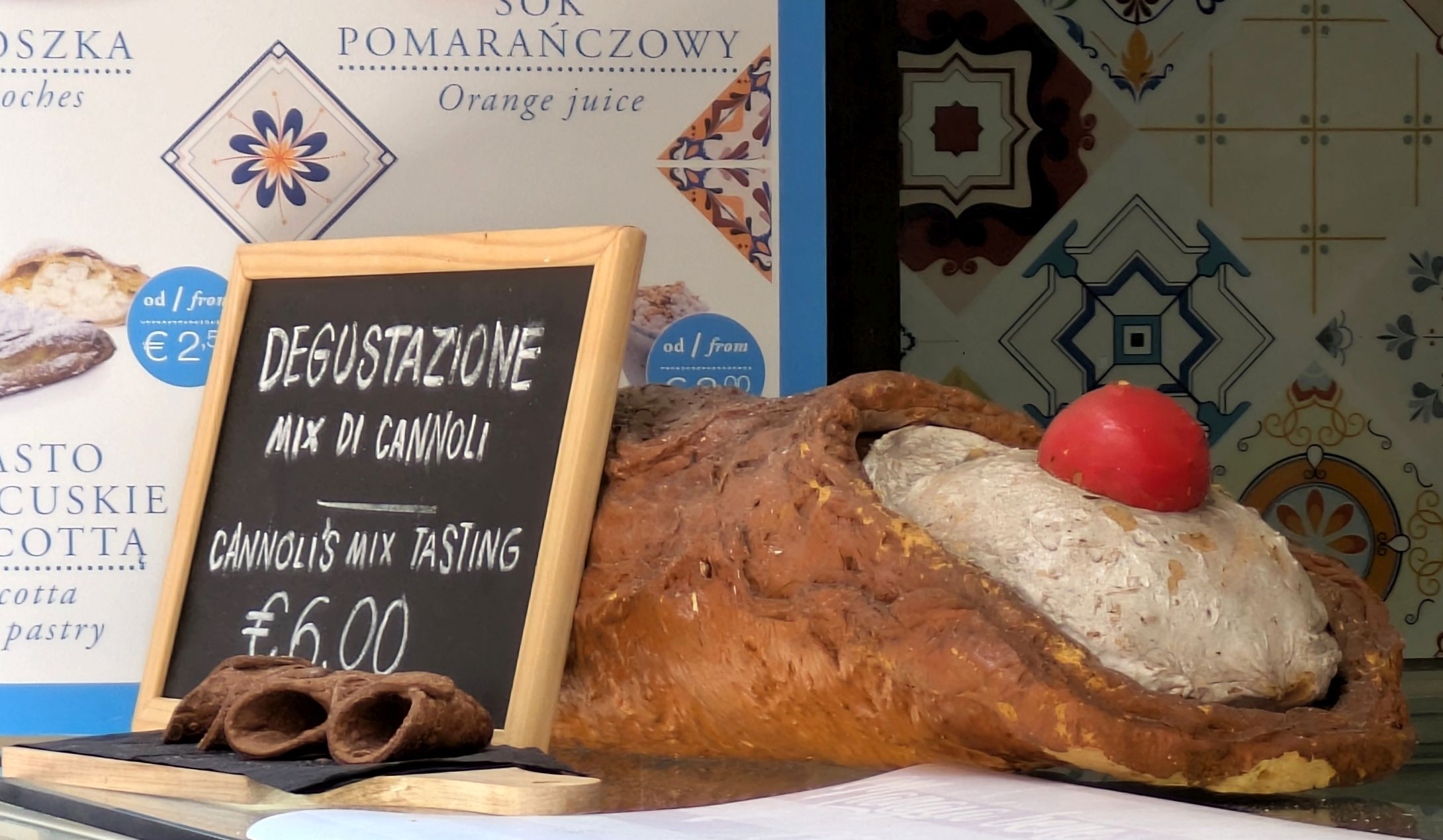
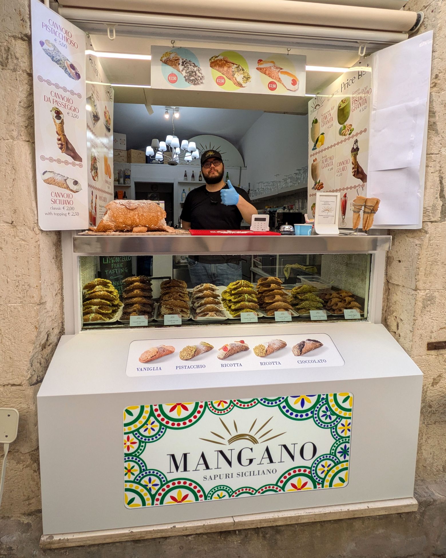
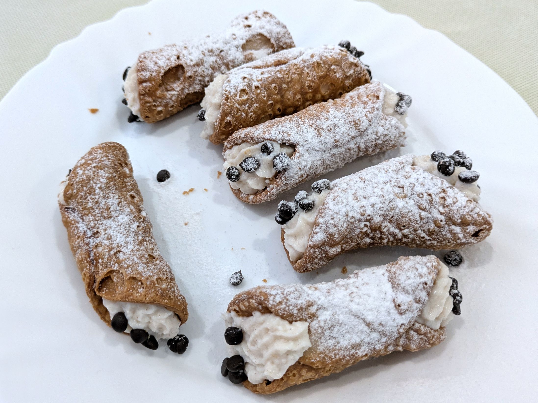
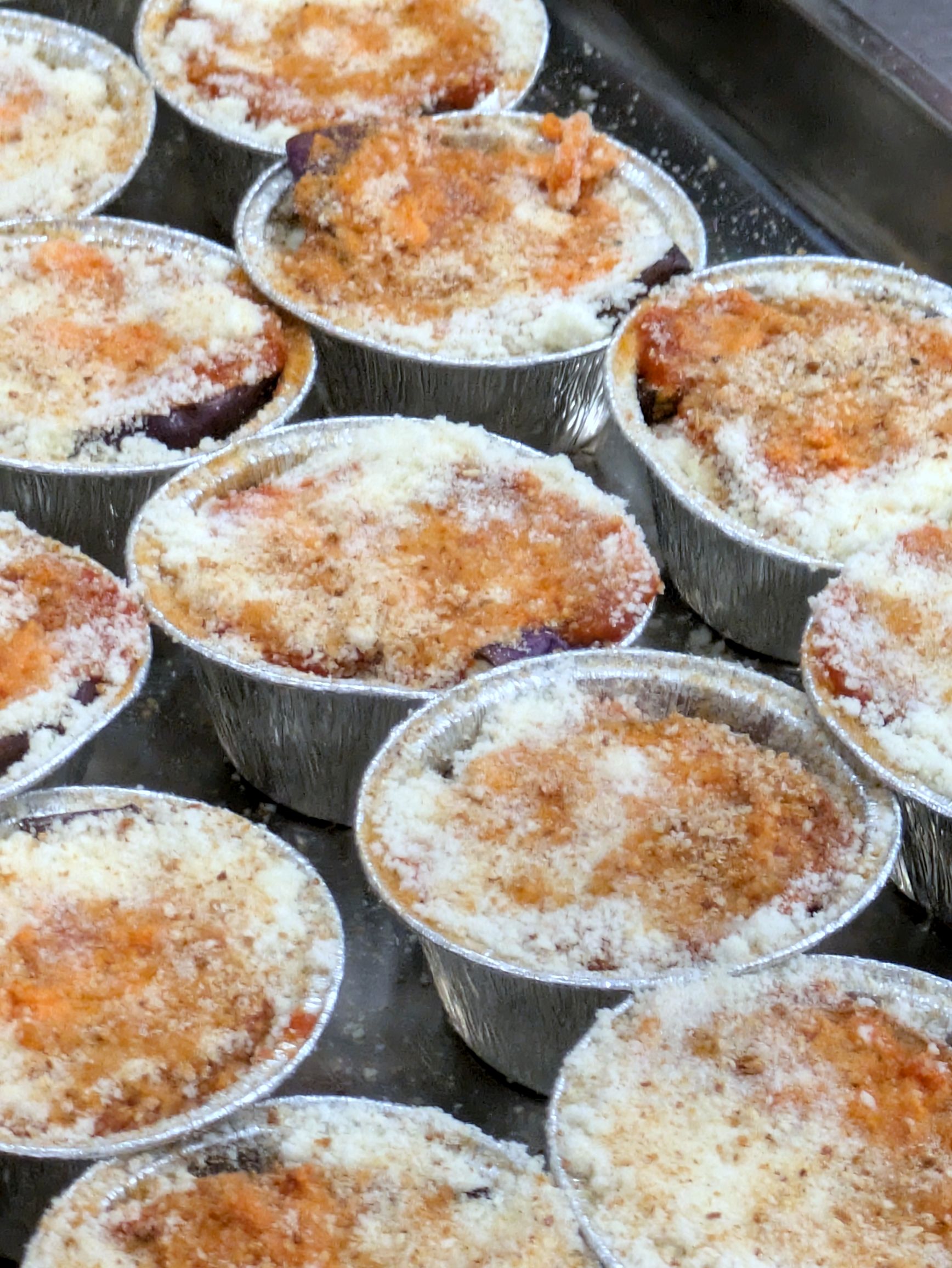
Dinners throughout Sicily were always a treat; they take their cooking and baking seriously! I hadn’t been a big fan of cannolis in the past, but the Sicilian bakers won me over. It makes my mouth water just looking at them!
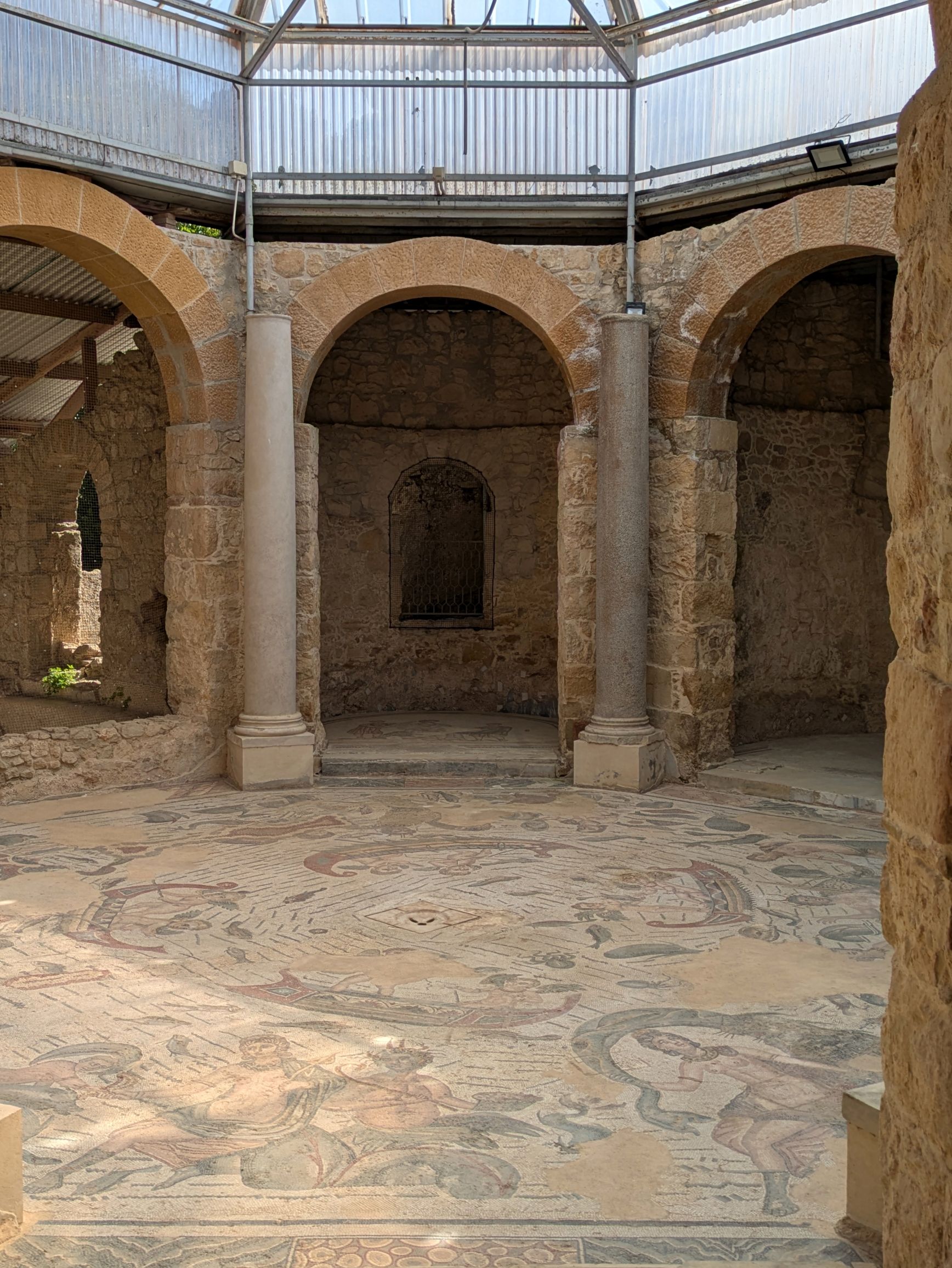
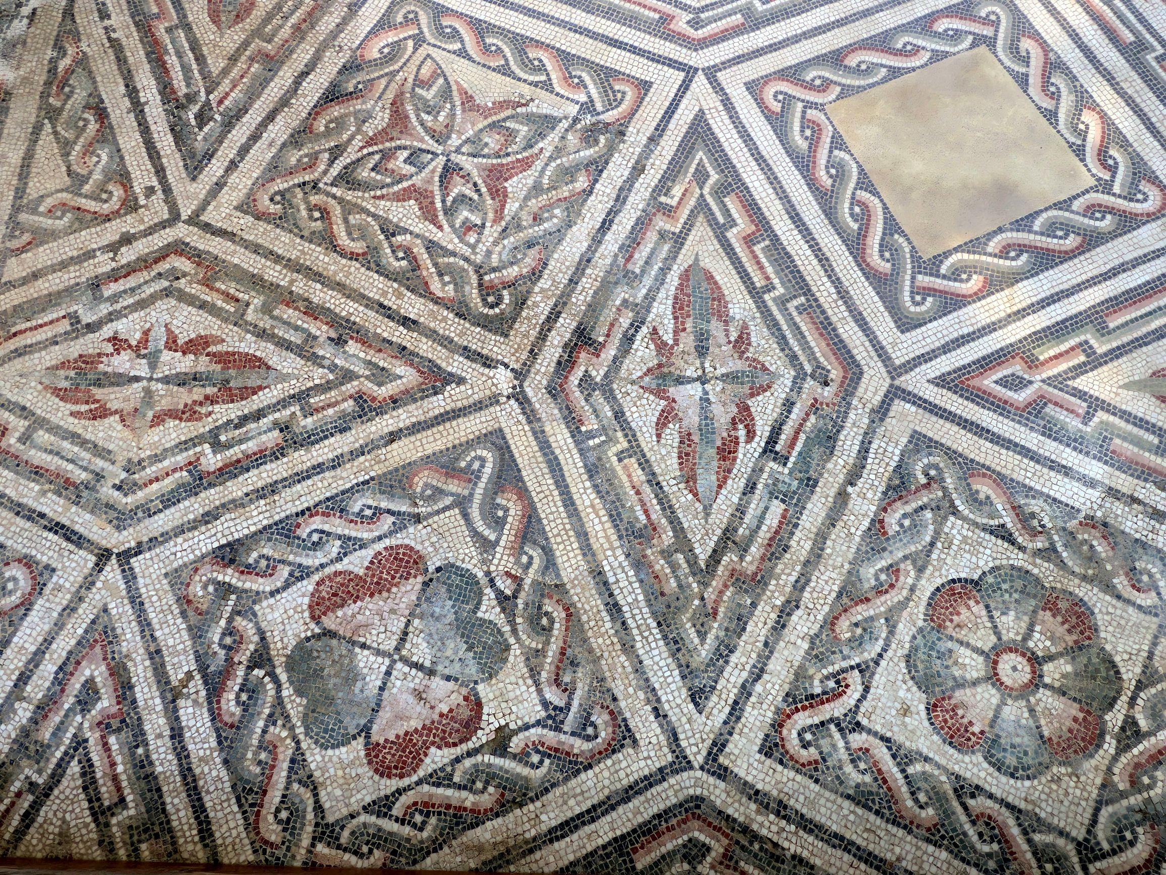
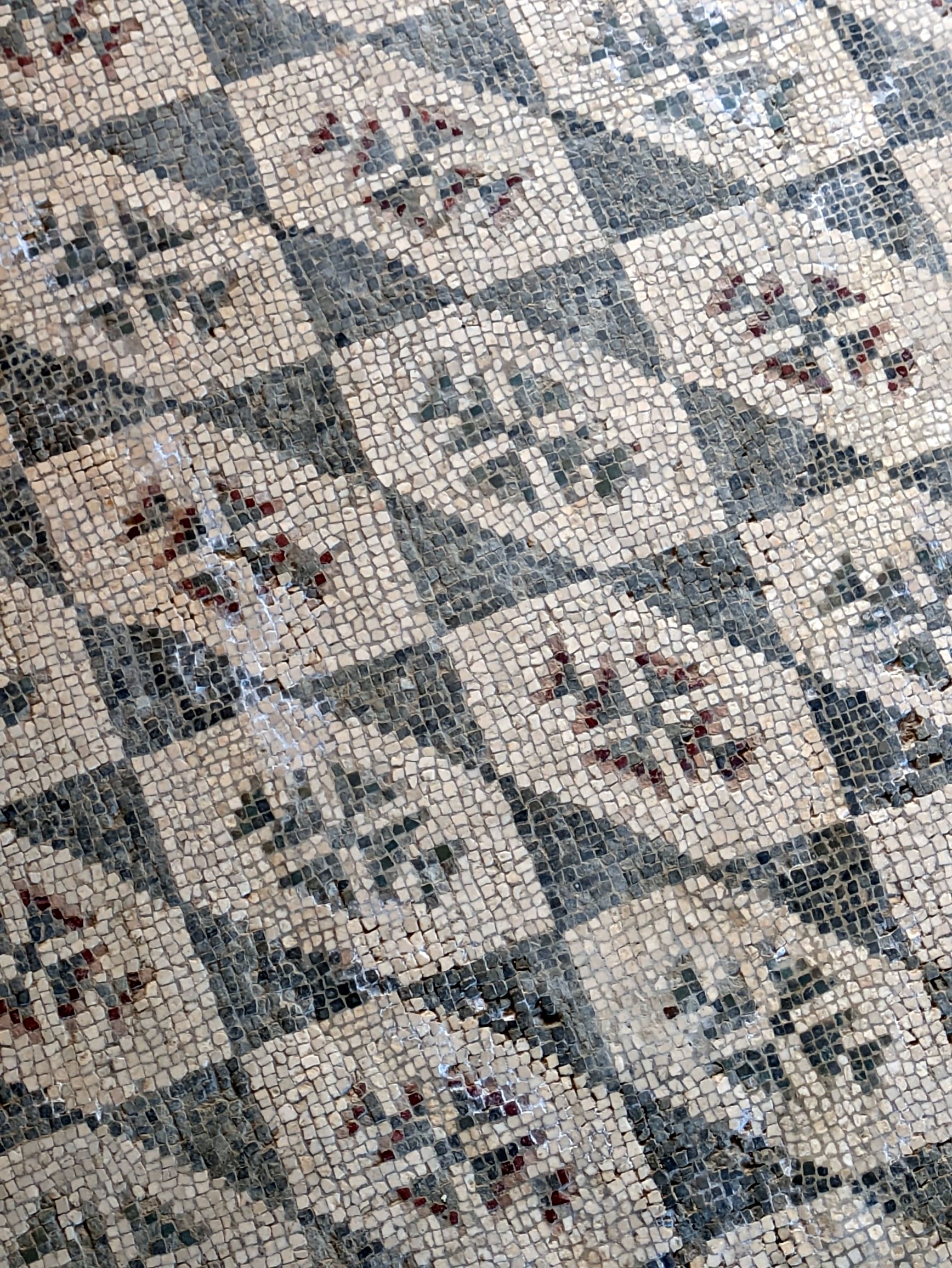
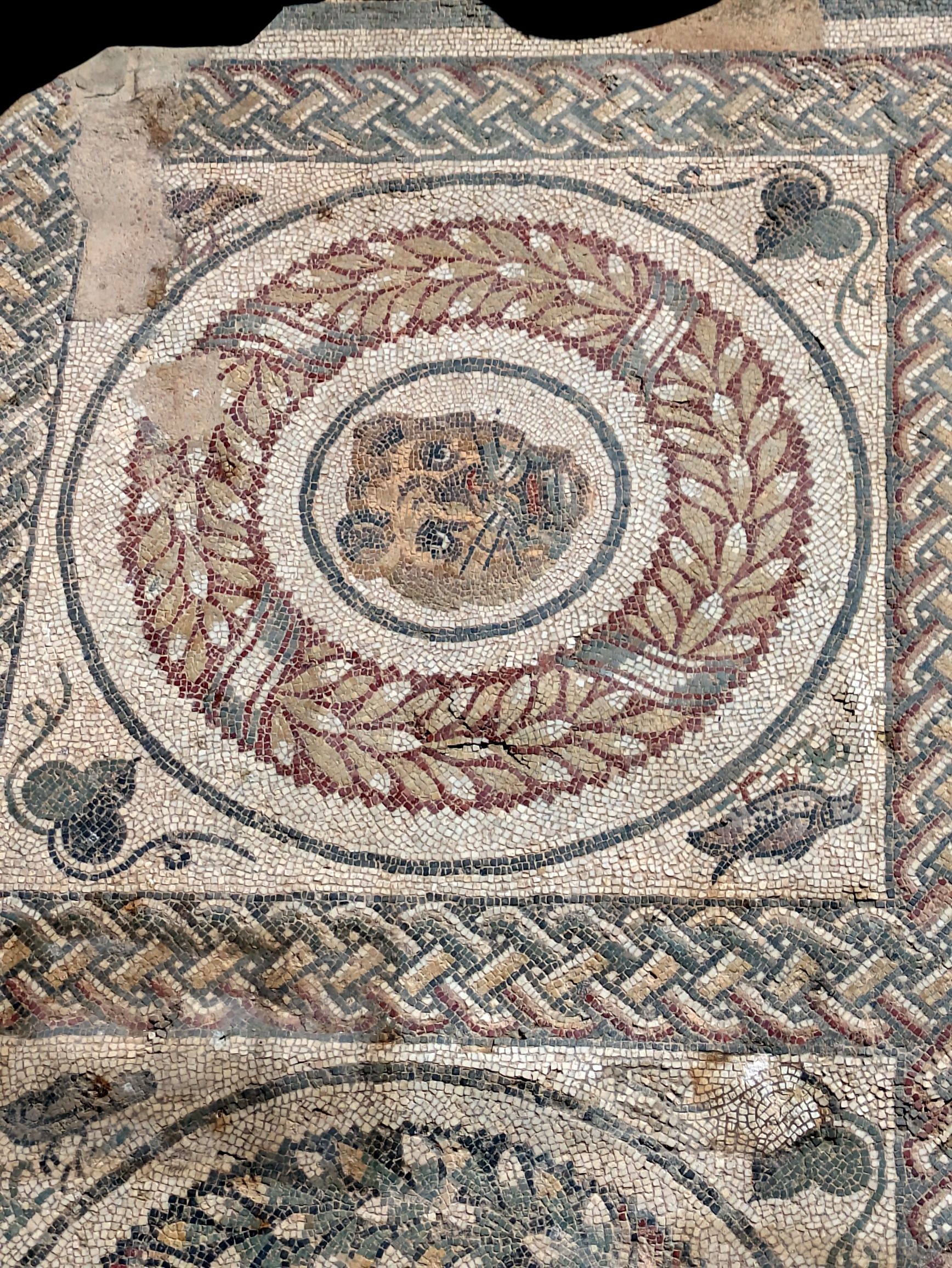
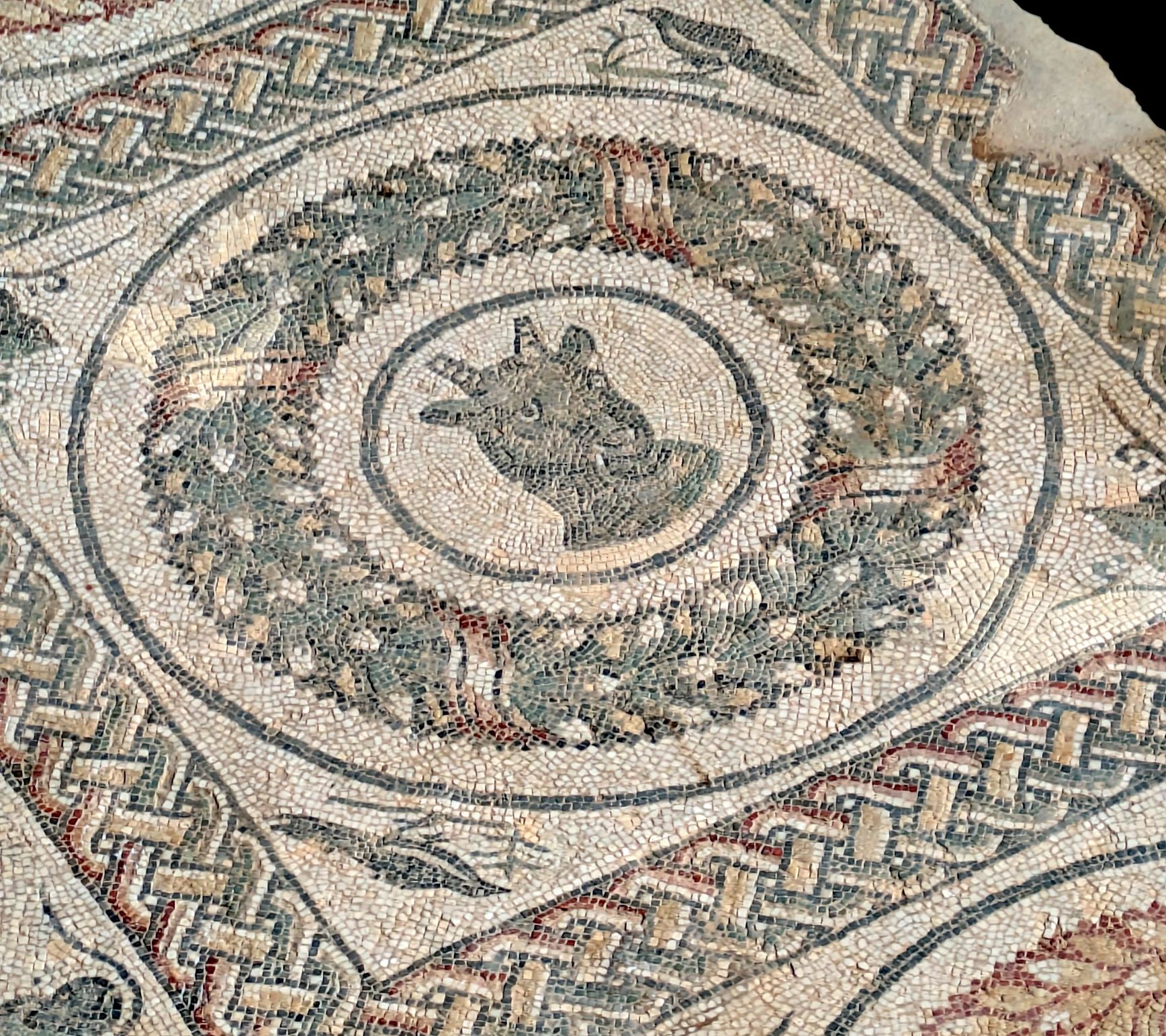
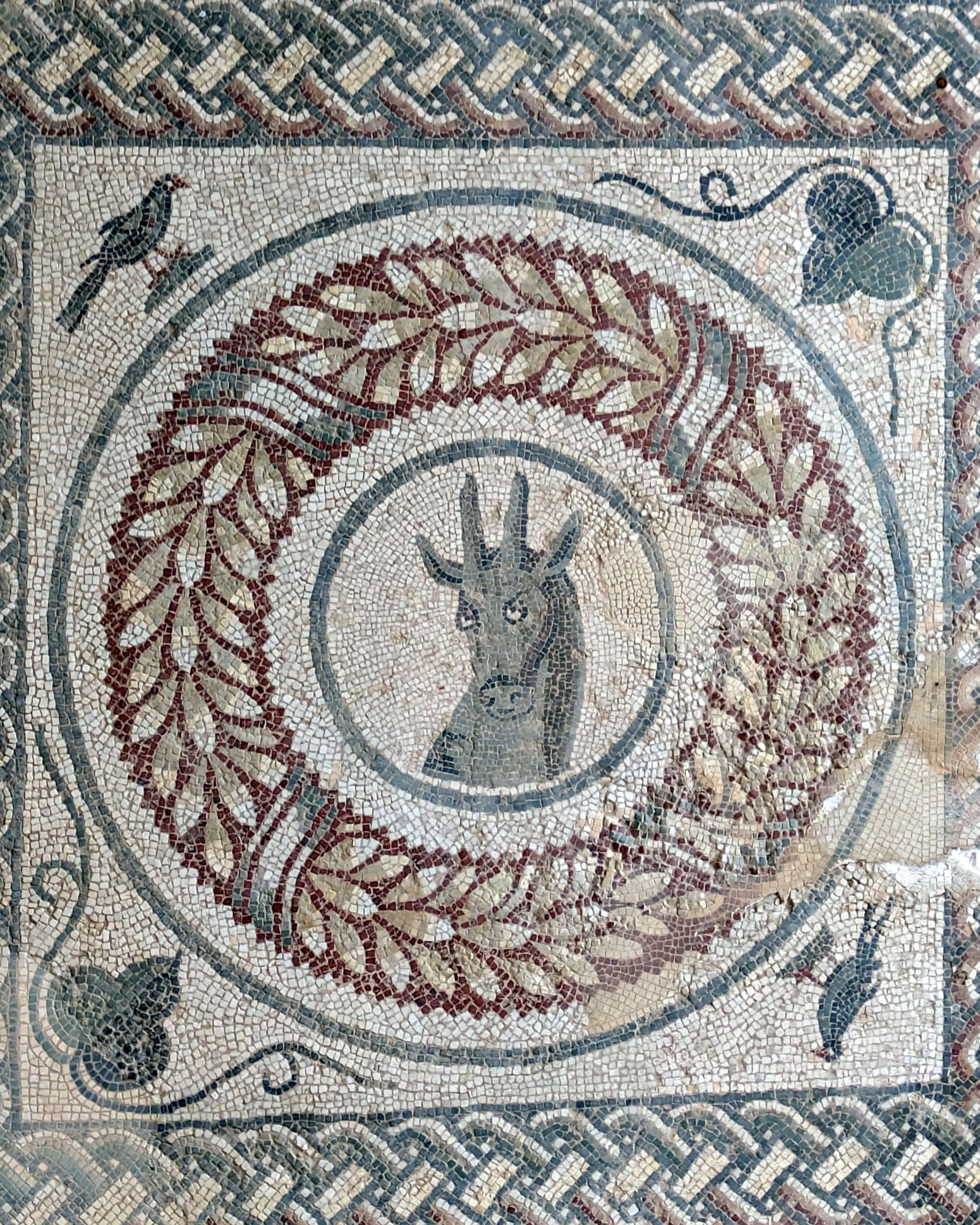
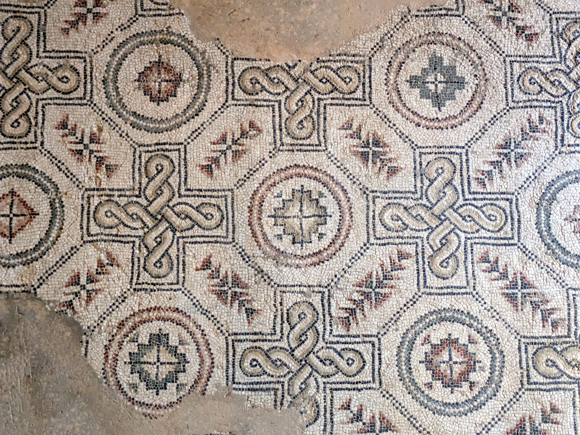
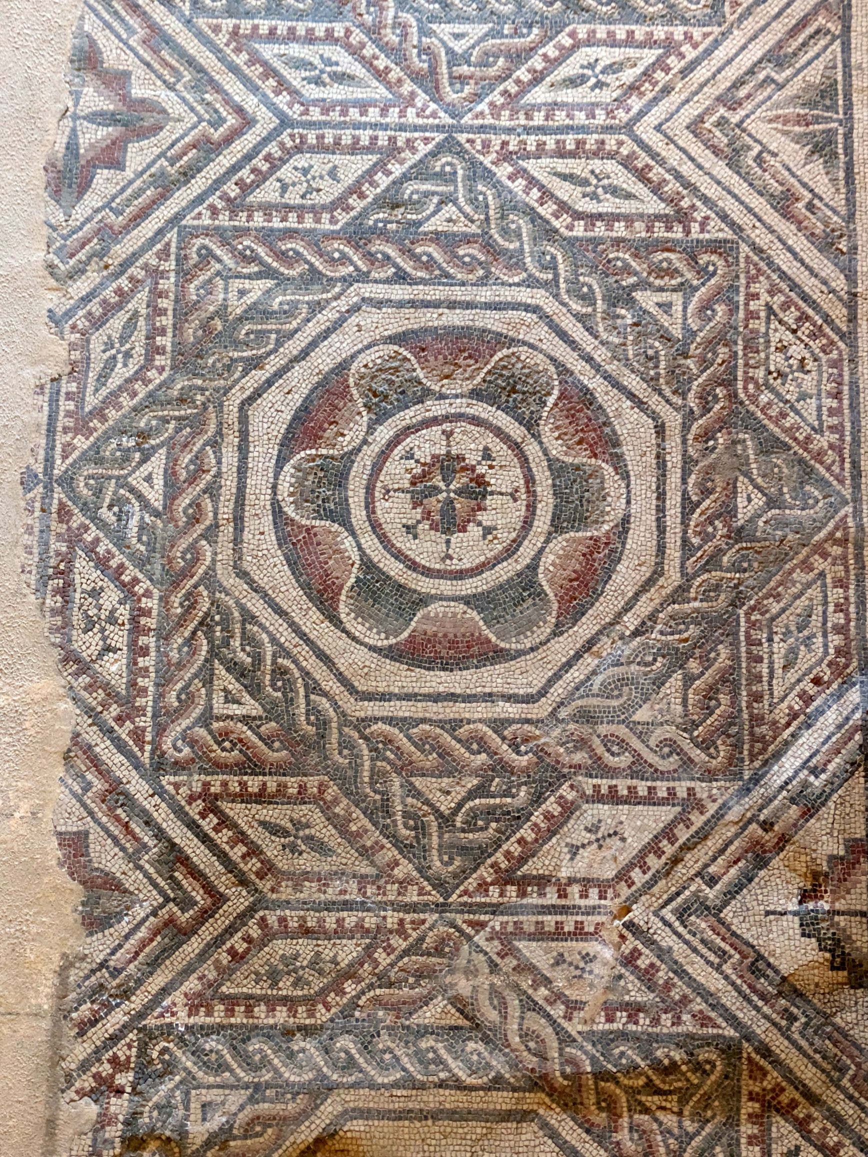
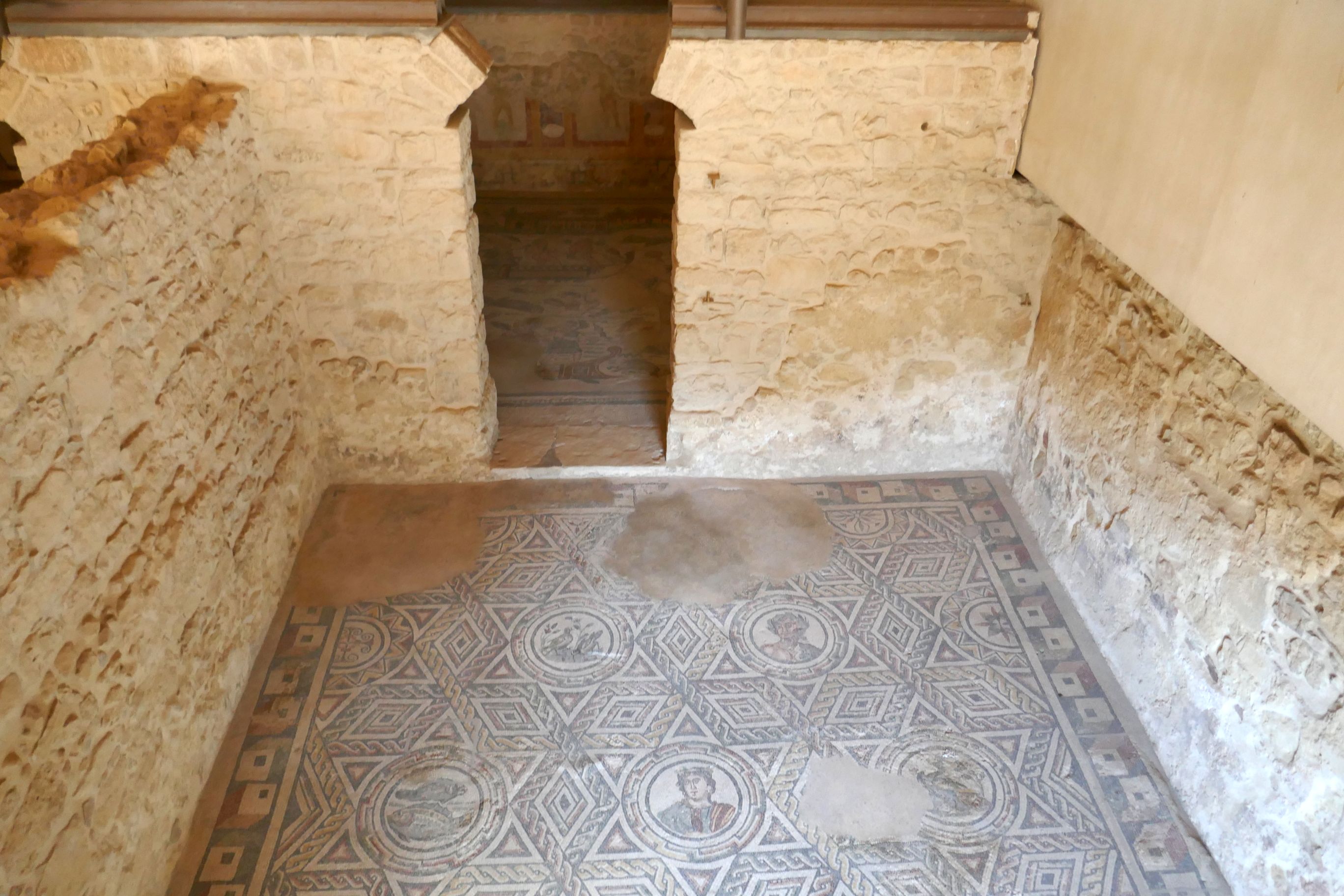
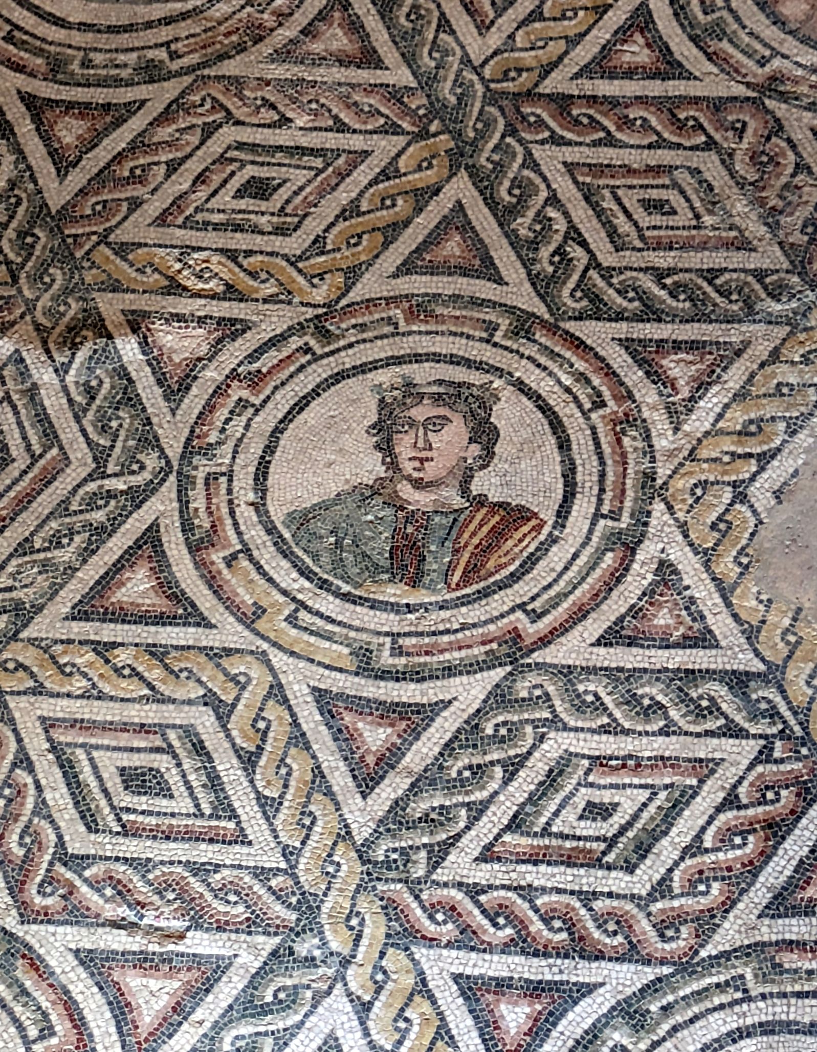
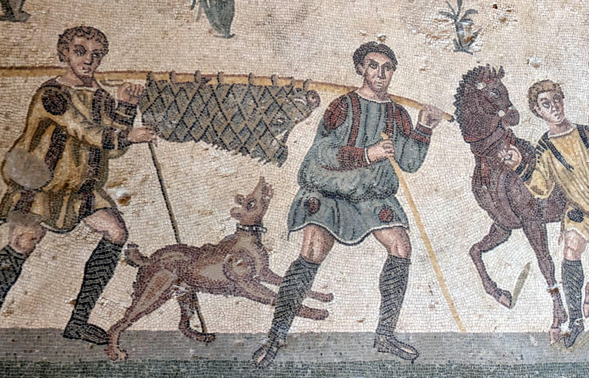
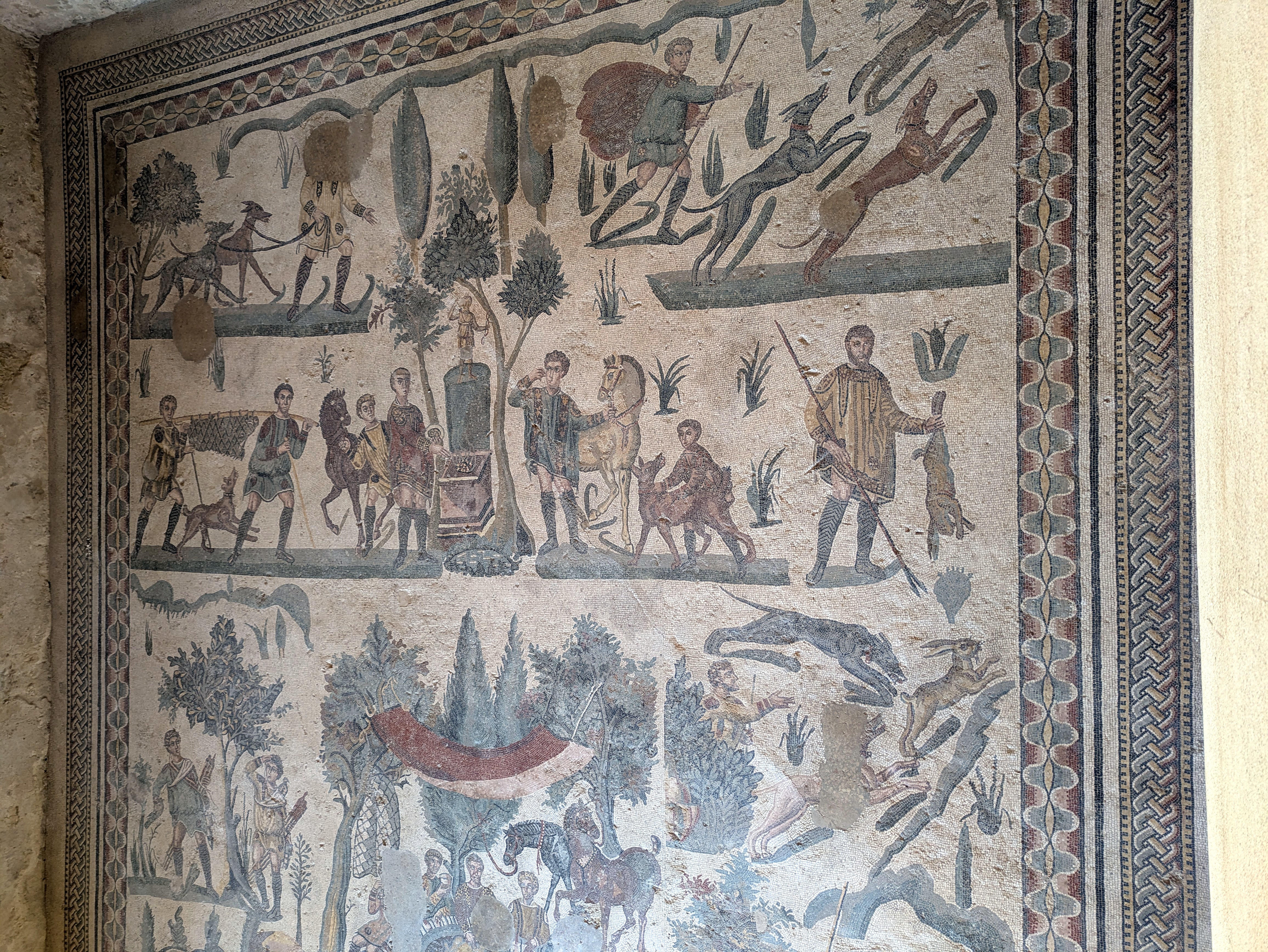
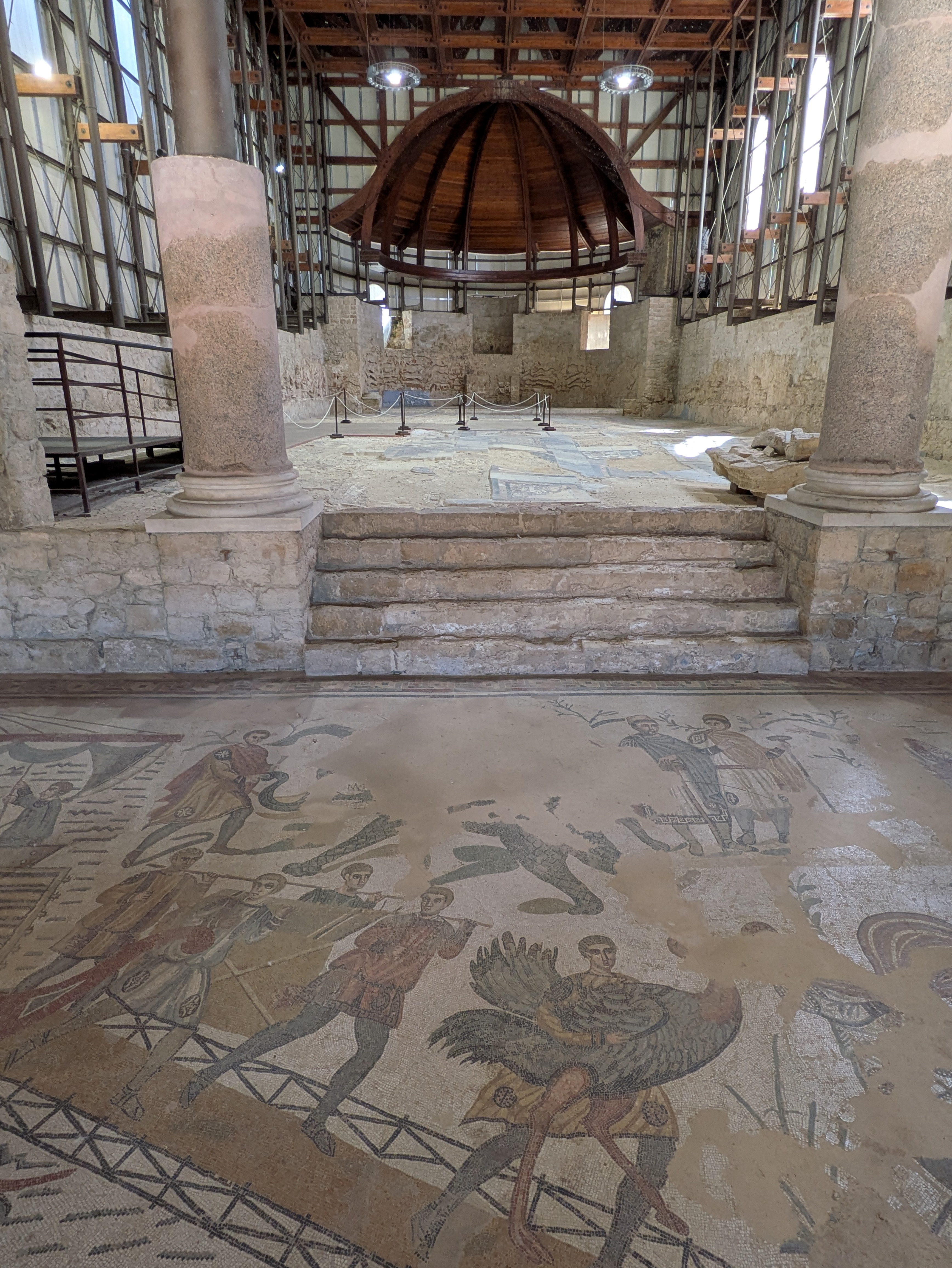
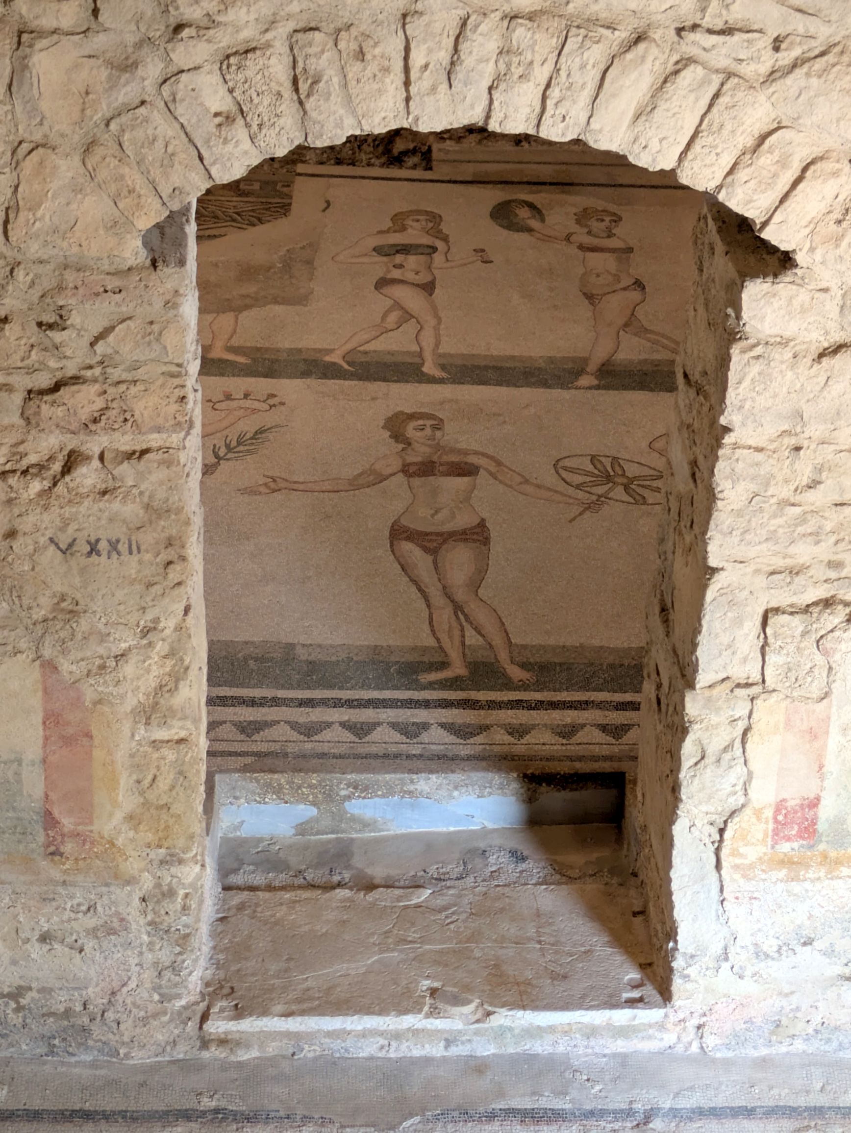
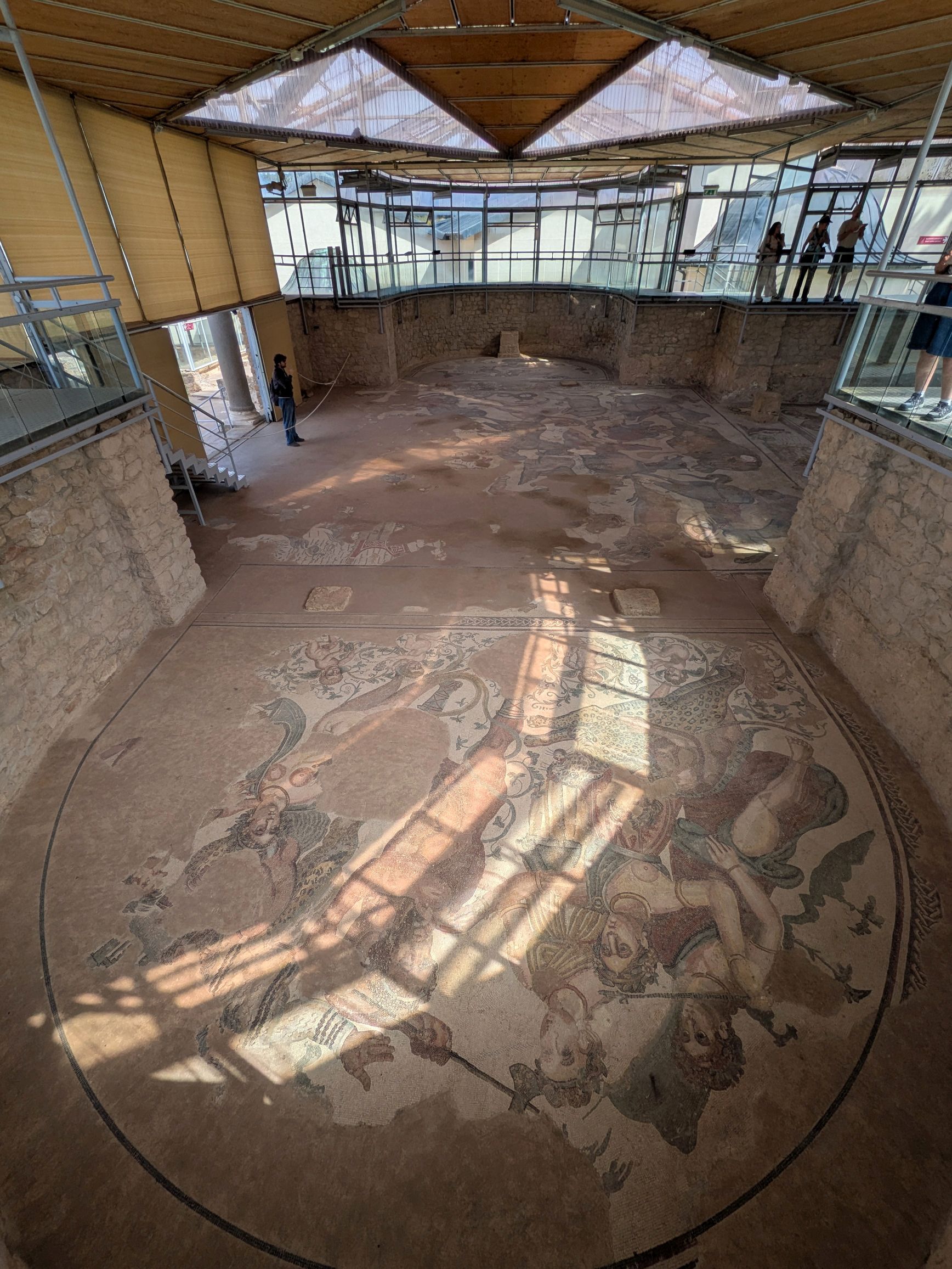
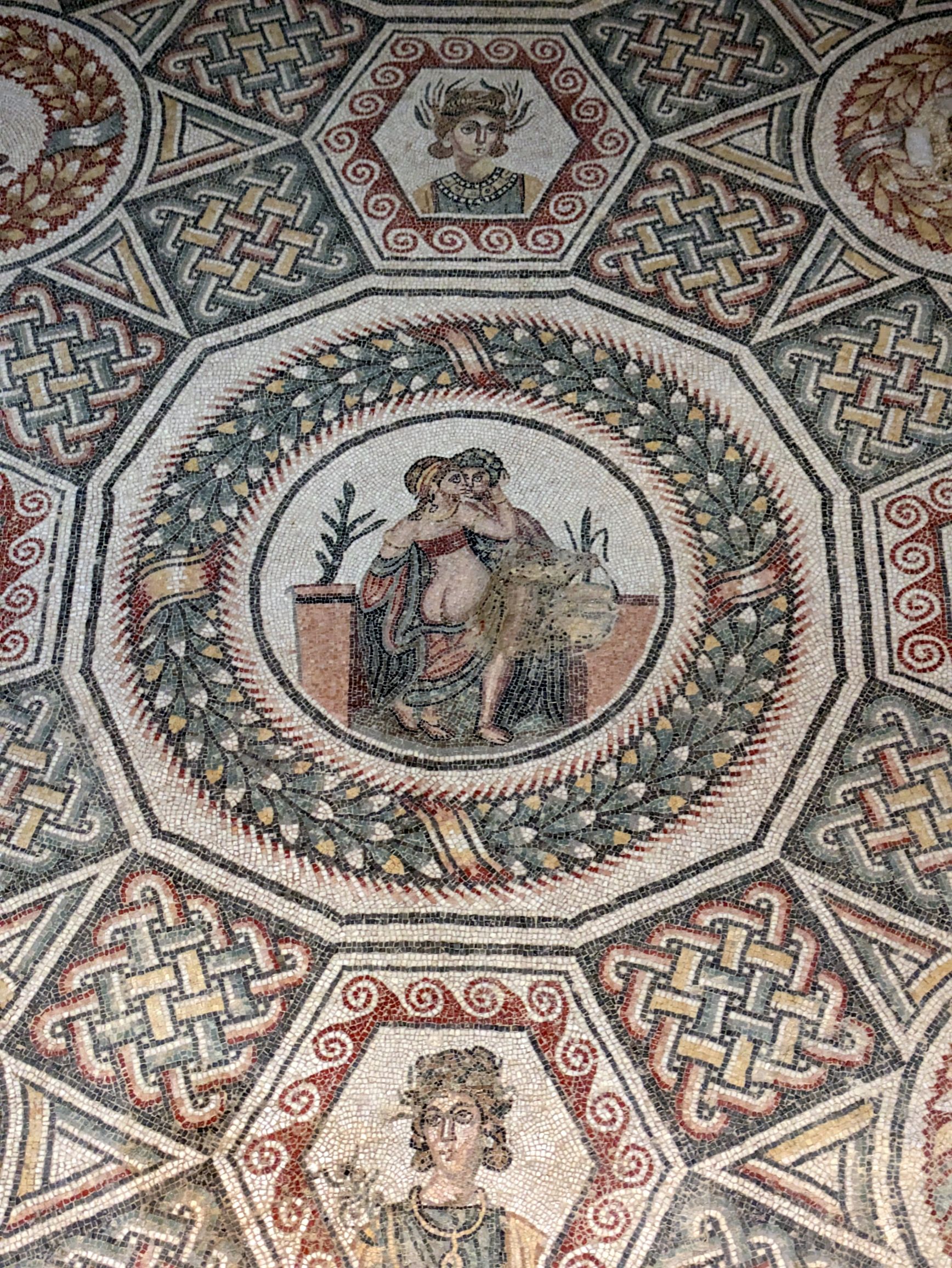
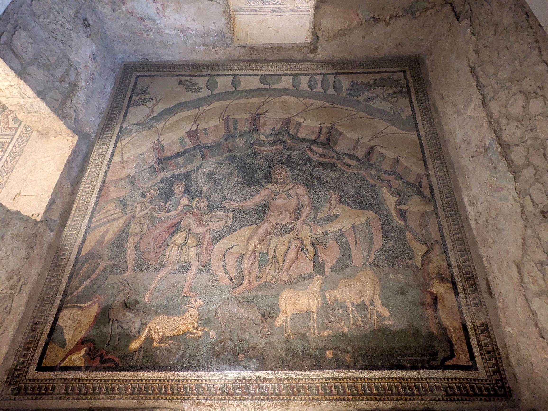
Mosaic is a form of art that has always captured my interest and admiration, so the mosaics we had seen thus far in Sicily greatly inspired me. Little did I know what I was about to see when we visited the Villa Romana del Casale. I had read in our itinerary that we would see “…some of the finest examples of Roman mosaics in all of Europe,” but I hadn’t done any further research (very uncharacteristic of me) or seen photos (even more uncharacteristic!), so I didn’t have any expectations. I’m glad, because, wow, I sure was surprised—in a fabulous way!
A UNESCO World Heritage Site, the villa (now in ruins) was constructed in the middle of the fourth century AD as a hunting lodge. Tragically, the “lodge” was covered by a landslide in the twelfth century, but nearly 800 years later, excavations began to reveal these incredible, well-preserved mosaics. We were in awe of just how good they looked! Thanks to the landslide and floods that covered them for centuries, the mosaics were protected from wear and tear.
Nobody knows for sure, but experts hypothesize the villa took about ten years to build, and the mosaics another five years to complete. The home was built by slaves that had an average life span of about forty years. (How sad that 25% of their lives were spent building this summer home!)
The facility structure built around the ruins and mosaics was impressive. Not only was it covered to protect it from the sun, but walkways were built up high so visitors could look down into the rooms of the villa. We were protected from the sun and had great views and photographic vantage points of each mosaic.
A note about the photos: Due to the natural light coming in, there was a lot of glare on some of the mosaics causing my photos to wash out, giving the mosaics a very faded look. To show you the details of these incredible works of art I have edited my pictures by increasing the contrast in them. All of the mosaics you will see are from the floors of the rooms, and they appear in the order of our tour through the ruins of the villa.
(For all photos, click on the image for a full screen view.)
Looking down on the floor of a walkway.
This photo has been rotated, so you can see the scene right side up, but it is a floor mosaic
Meet the “Bikini Girls”!
The “Bikini Girls” are actually athletes wearing an outfit used in athletic competitions. You GO girls!
I loved the colors of these ornaments sold by a vendor on the way out to our bus after visiting the ruins.
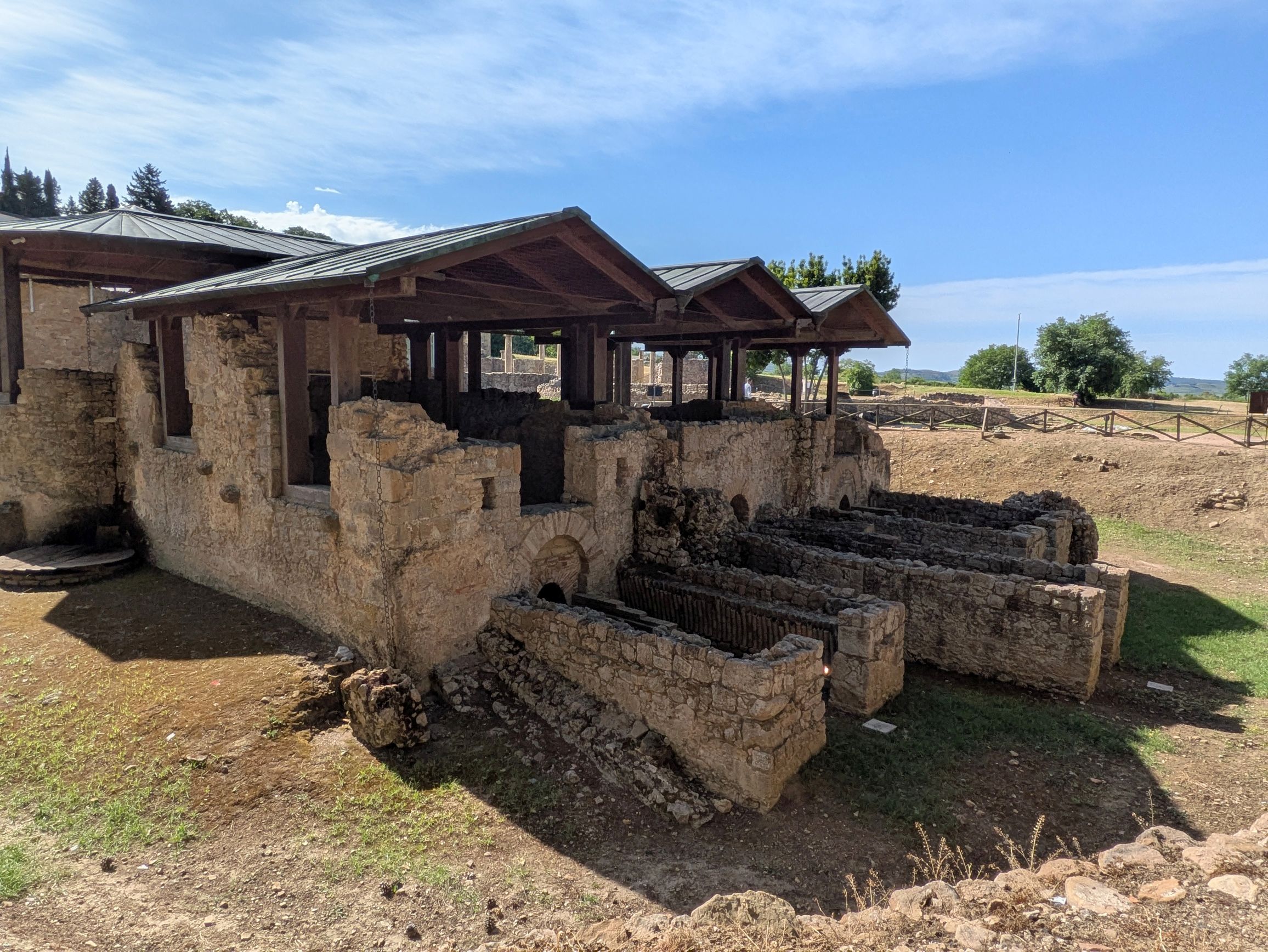
Following our tour of the ruins, we enjoyed lunch at Tenute Senia Winery, a family-run winery currently in its seventh generation. The two Mortilla sisters inherited the winery from their father. One of the sisters handled the service of our lunch, and the other introduced herself, “I’m the blah-blah person of the winery!”
Winemaking in Sicily is very much a male-dominated industry, but these two sisters have won numerous awards and recognitions for their wine.
Delicious cannellonis for desert!
In the afternoon, we continued our ride through the countryside to Ragusa, the subject of my next post.
Next up: SICILY & AMALFI COAST #13: RAMBLING AROUND RAGUSA
Located along the southern coast of Sicily, outside of the city of Agrigento, the Valley of the Temples is not a valley at all! The archaeological and landscape park is located on a ridge overlooking the city.
Extending over 1300 hectares, this UNESCO World Heritage Site includes ruins of the ancient city of Akragas and its surrounding territory. One of Sicily’s main attractions, the park is the largest archaeological park in Europe and the Mediterranean basin and receives about one million visitors each year.
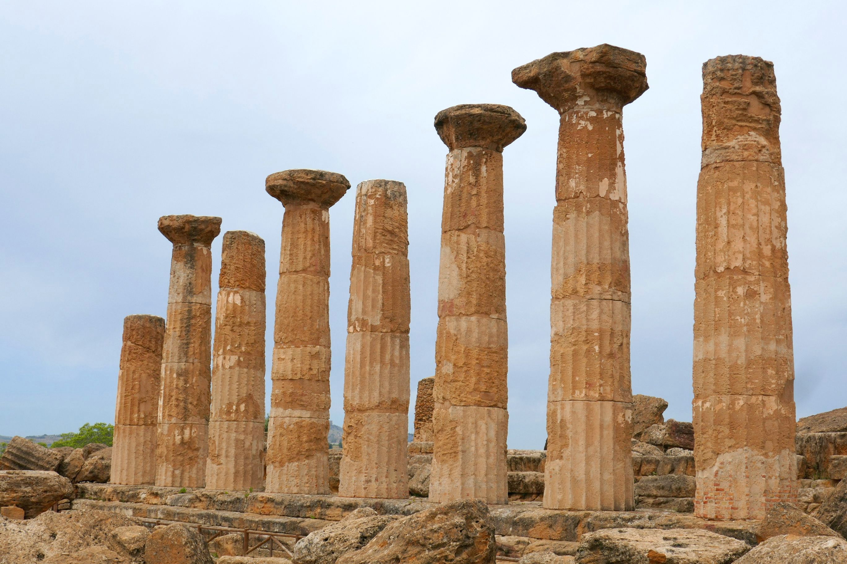
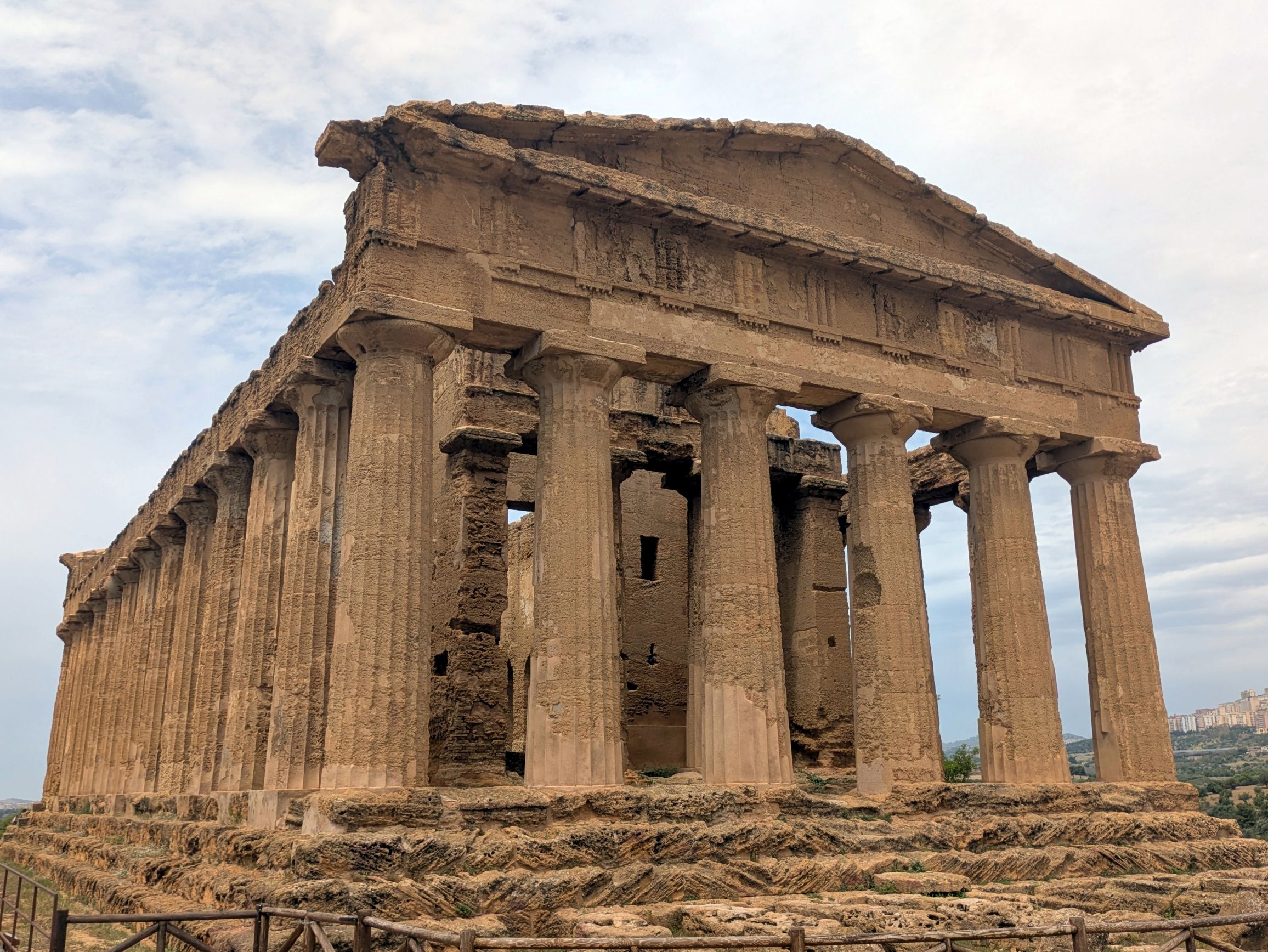
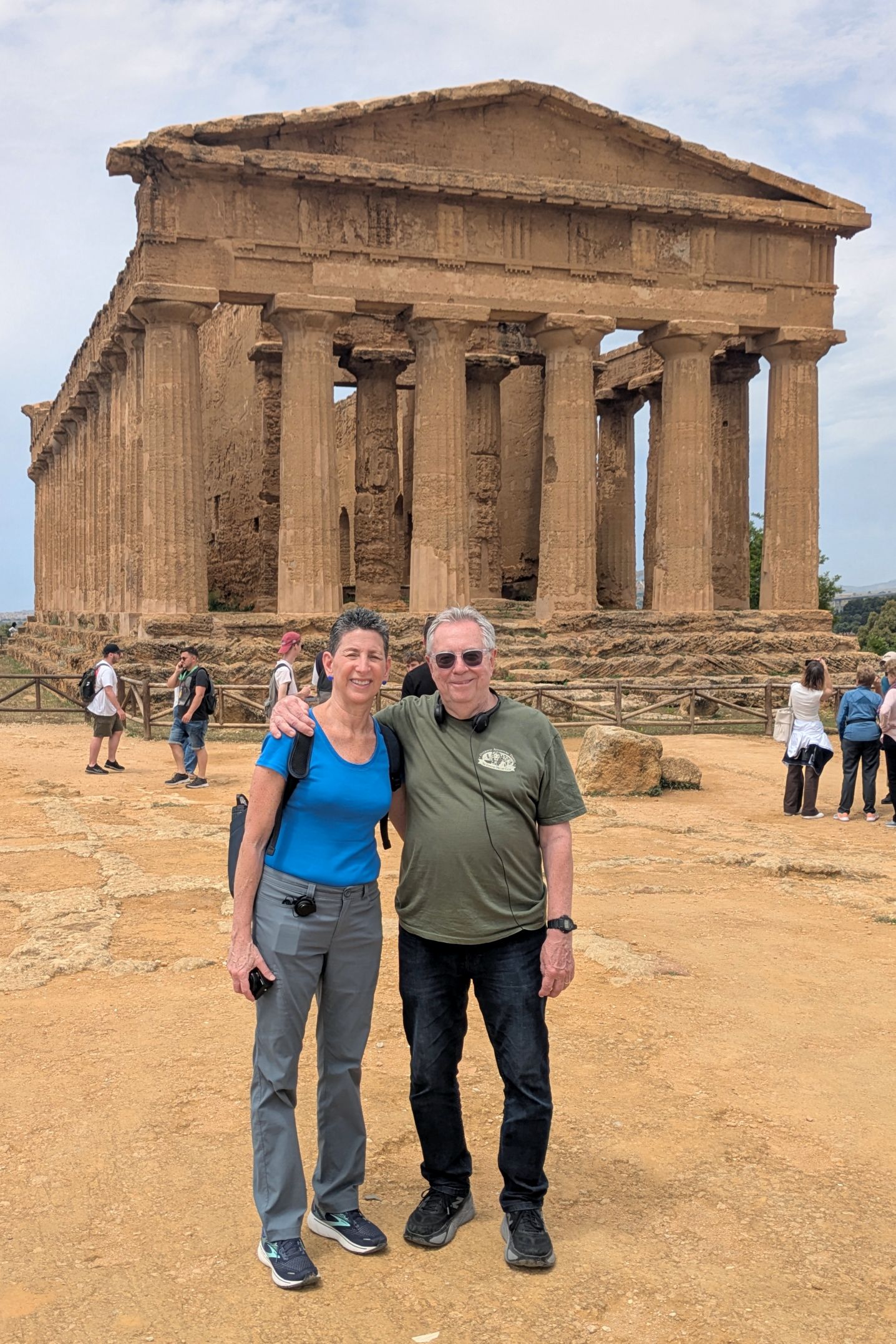
The Valley includes the remains of seven temples that date back to the 5th century BC. The Temple of Concordia is the best preserved and was the highlight of our guided walking tour through the park.
(For all photos, click on the image for a full screen view.)
The Temple of “Hera” dates back to 450 BC
Temple of HeraclesTemple of Concordia
Surrounding the temples were beautiful century-old olive trees:
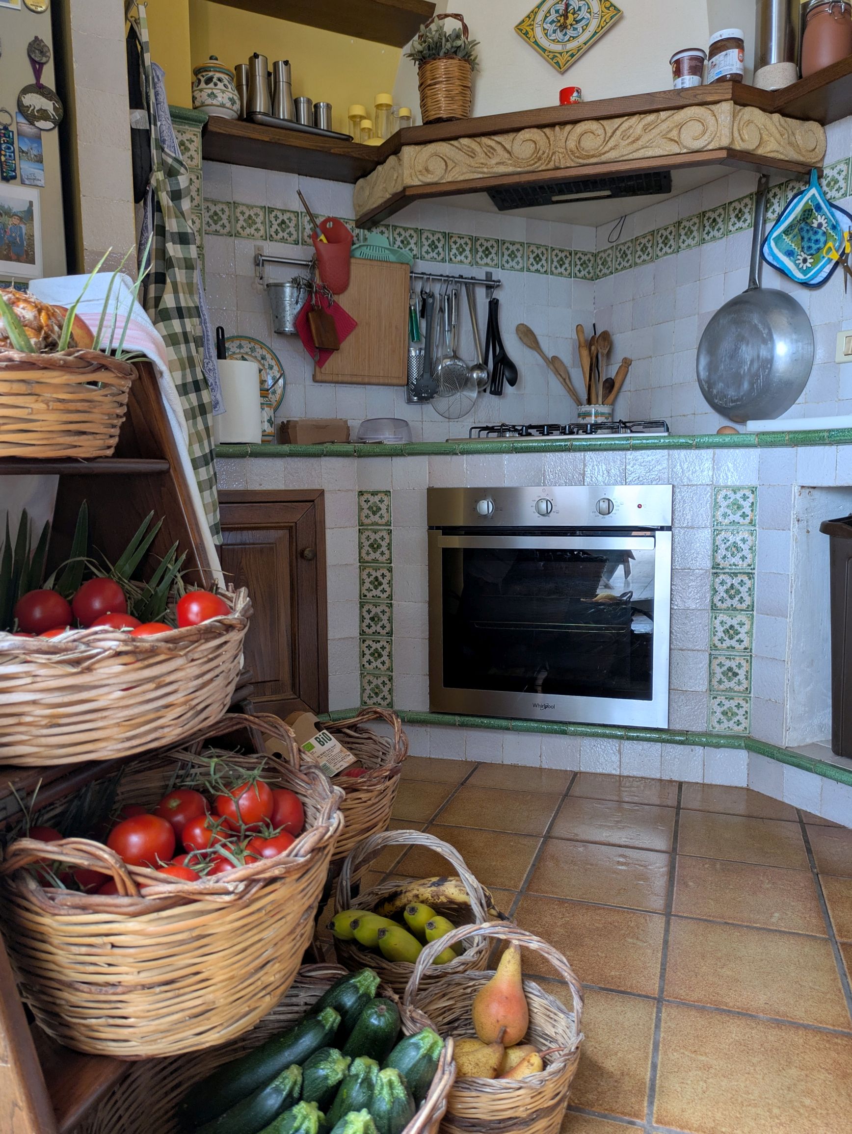
Following our visit to the valley, our lunch, which was originally listed as being “at a local restaurant in Agrigento” turned out to be a wonderful surprise! We were brought instead to the home of Marcello and Rita who grew the vegetables used in the delicious multi-course home-cooked lunch for us.
Home grown and made sundried tomatoes and bruschetta were just a couple of the appetizers to start off our tasty lunch.
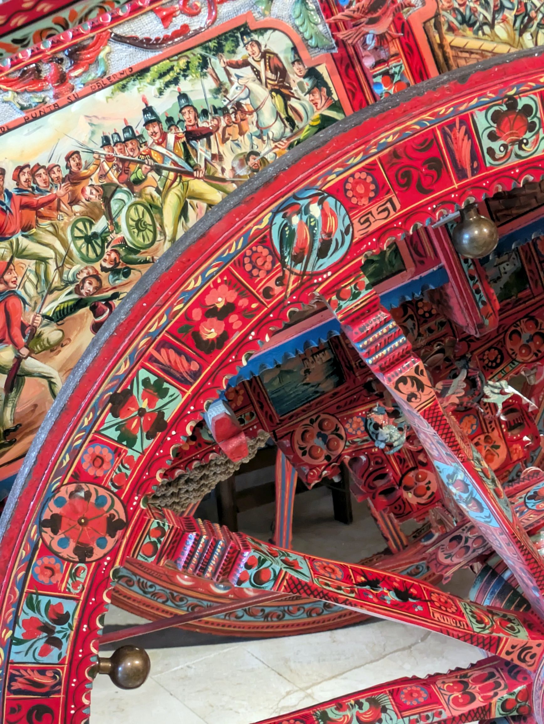
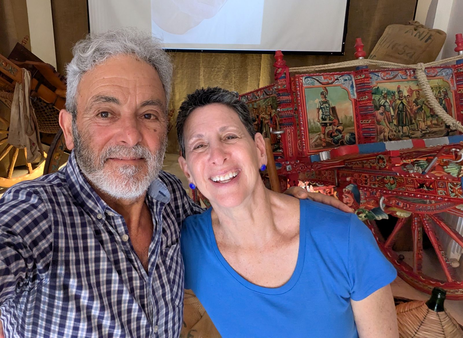
After lunch, we were led downstairs to a workshop to see a beautiful collection of “carretti,” Sicilian horse and donkey carts that were made by his father, Raffaele, and to hear the story about them. His collection is recognized by UNESCO and was stunning!
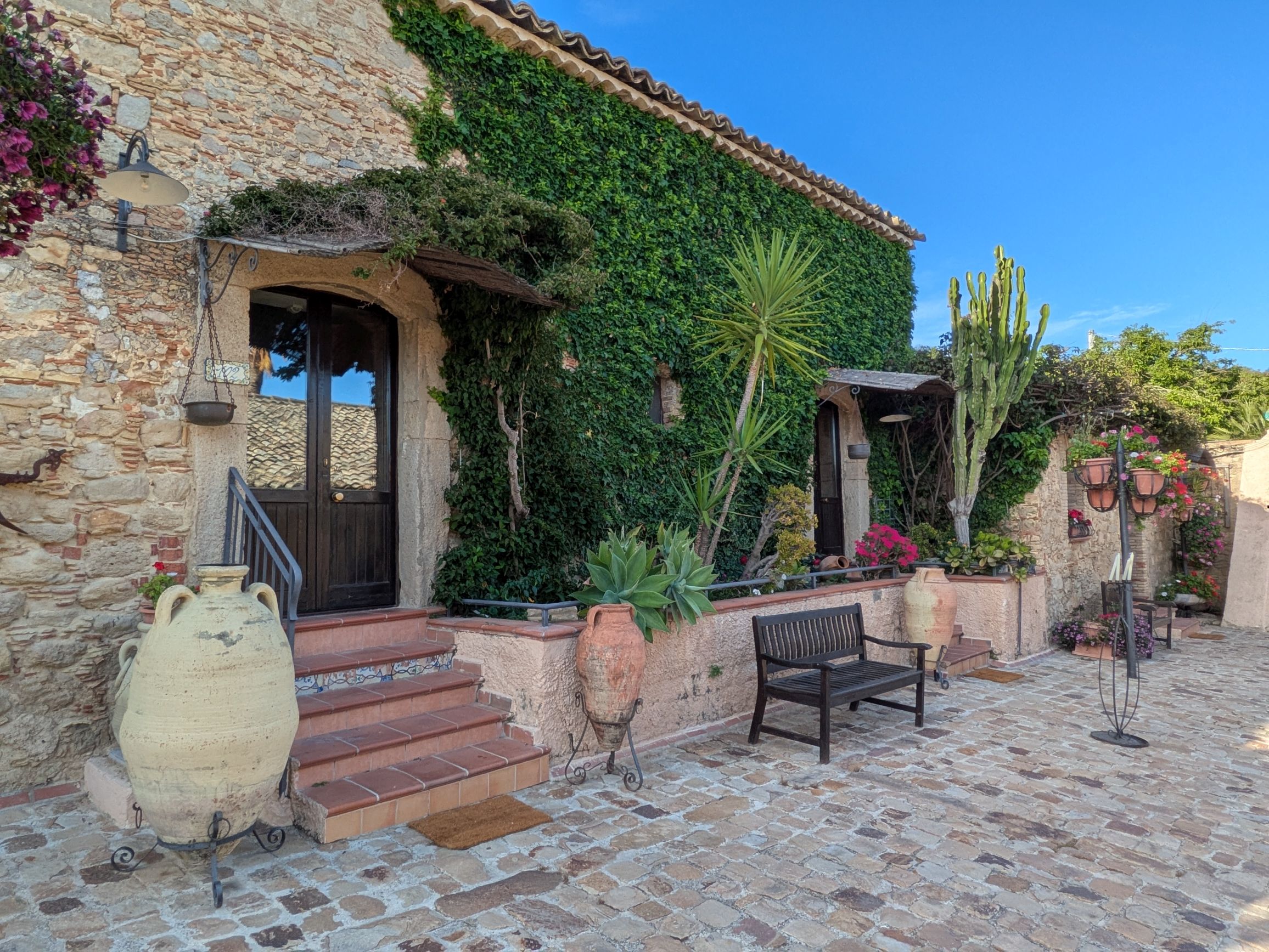
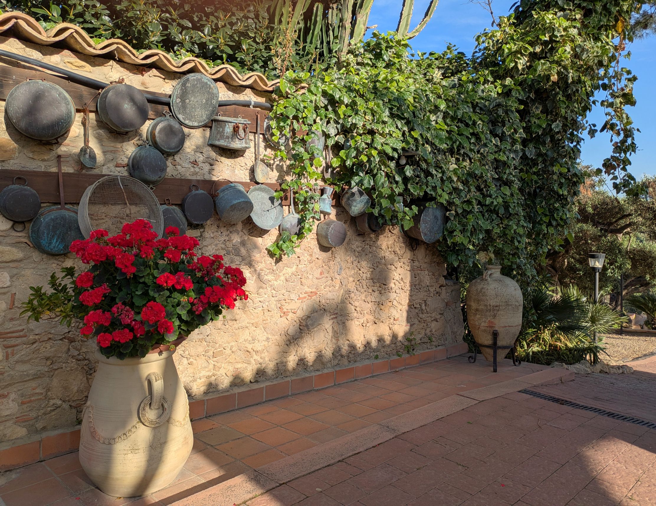
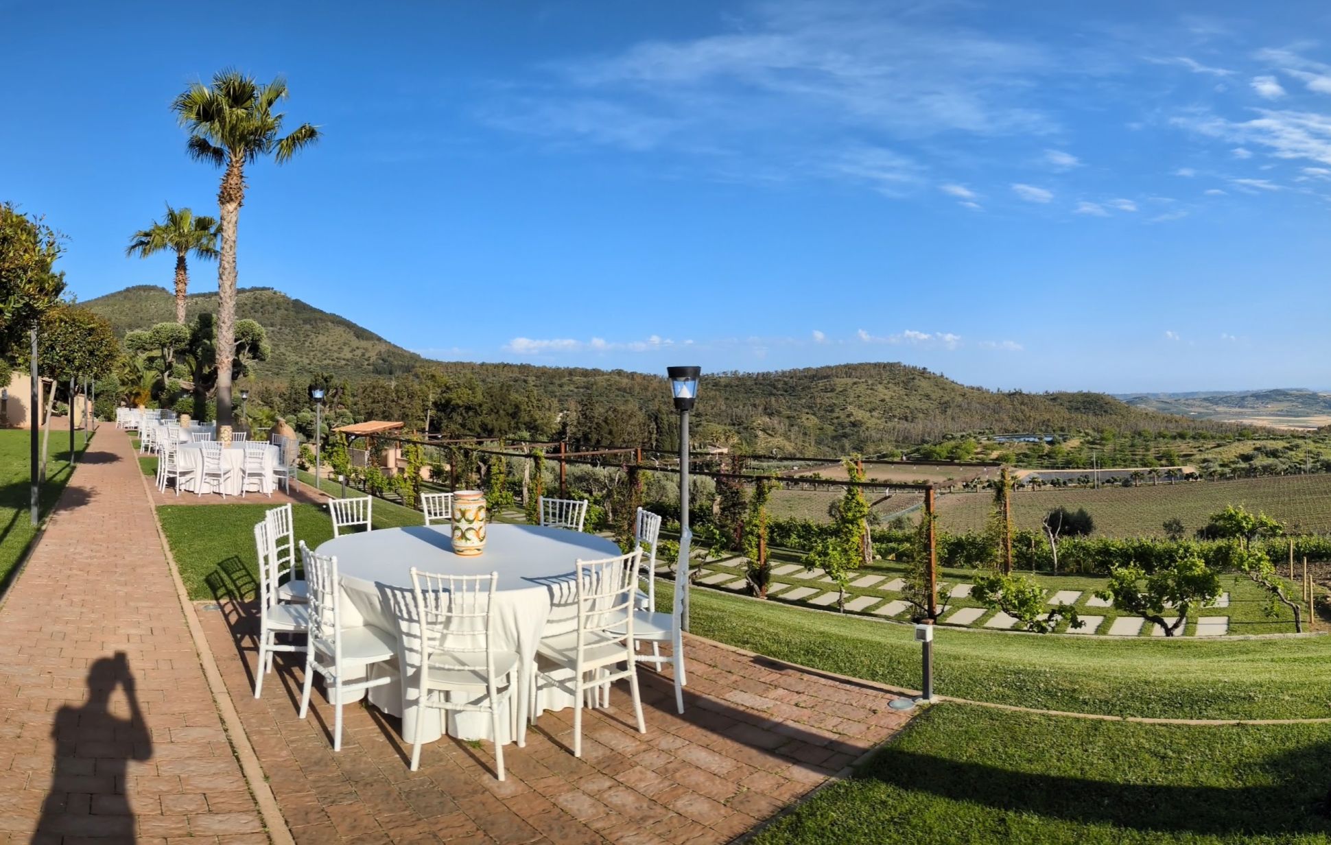
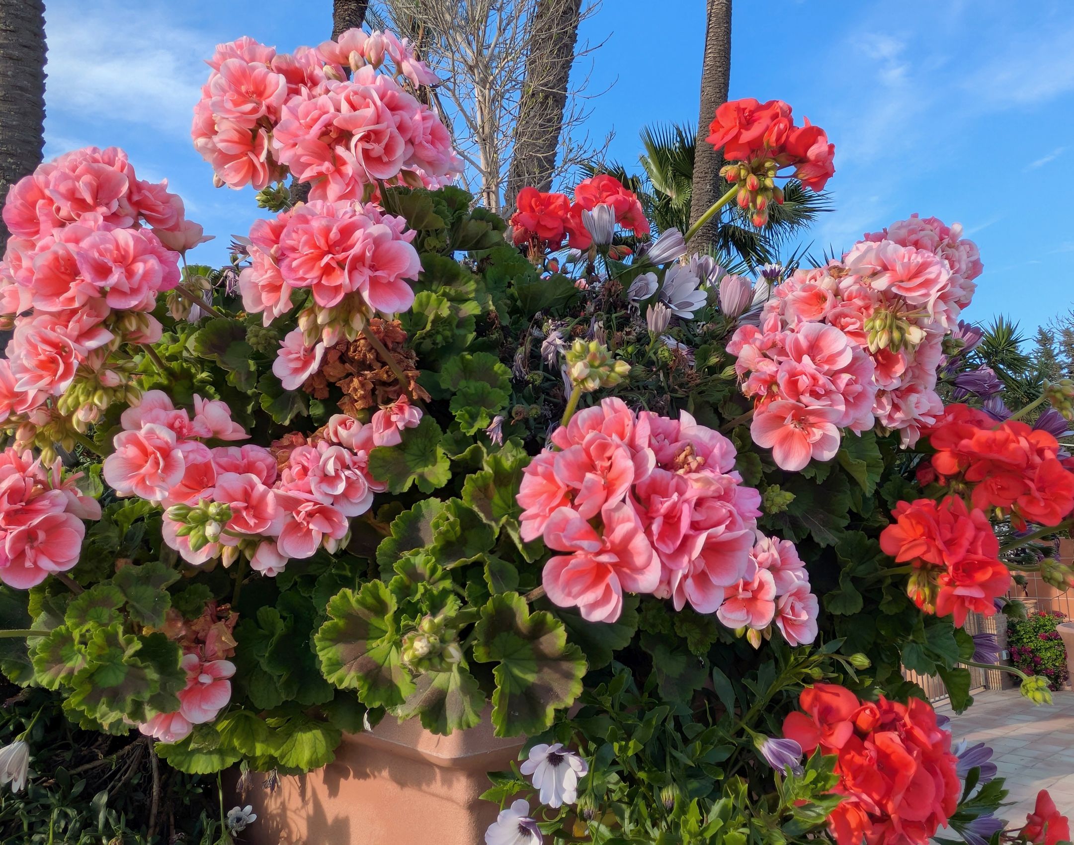
Our home for the night was at Vecchia Masseria an agriturismo (farm stay). Incredibly picturesque and charming, this was our favorite accommodation of the trip. There are hundreds of pictures of the property posted on Trip Advisor, but I thoroughly enjoyed exploring the property, so I can bring you some of my own:
Coming up next: SICILY & AMALFI COAST #12: MARVELOUS MOSAICS & A WONDERFUL WINERY
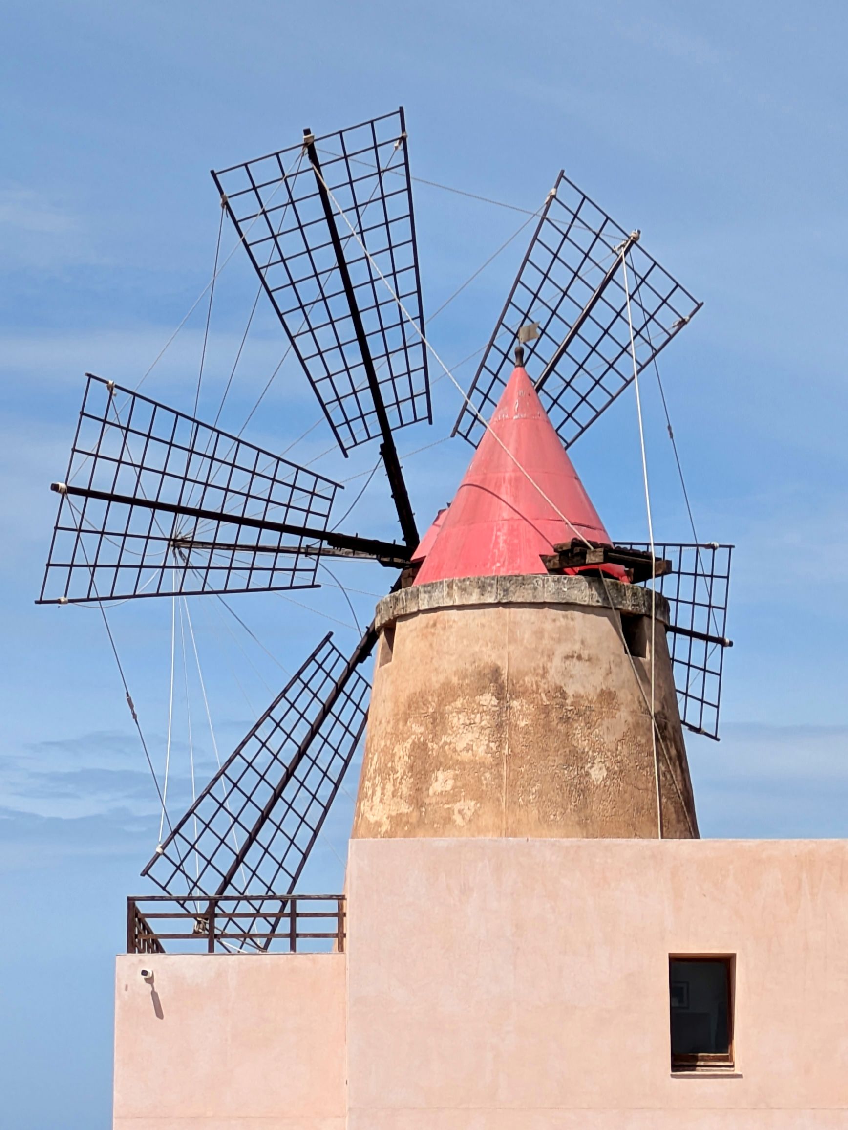
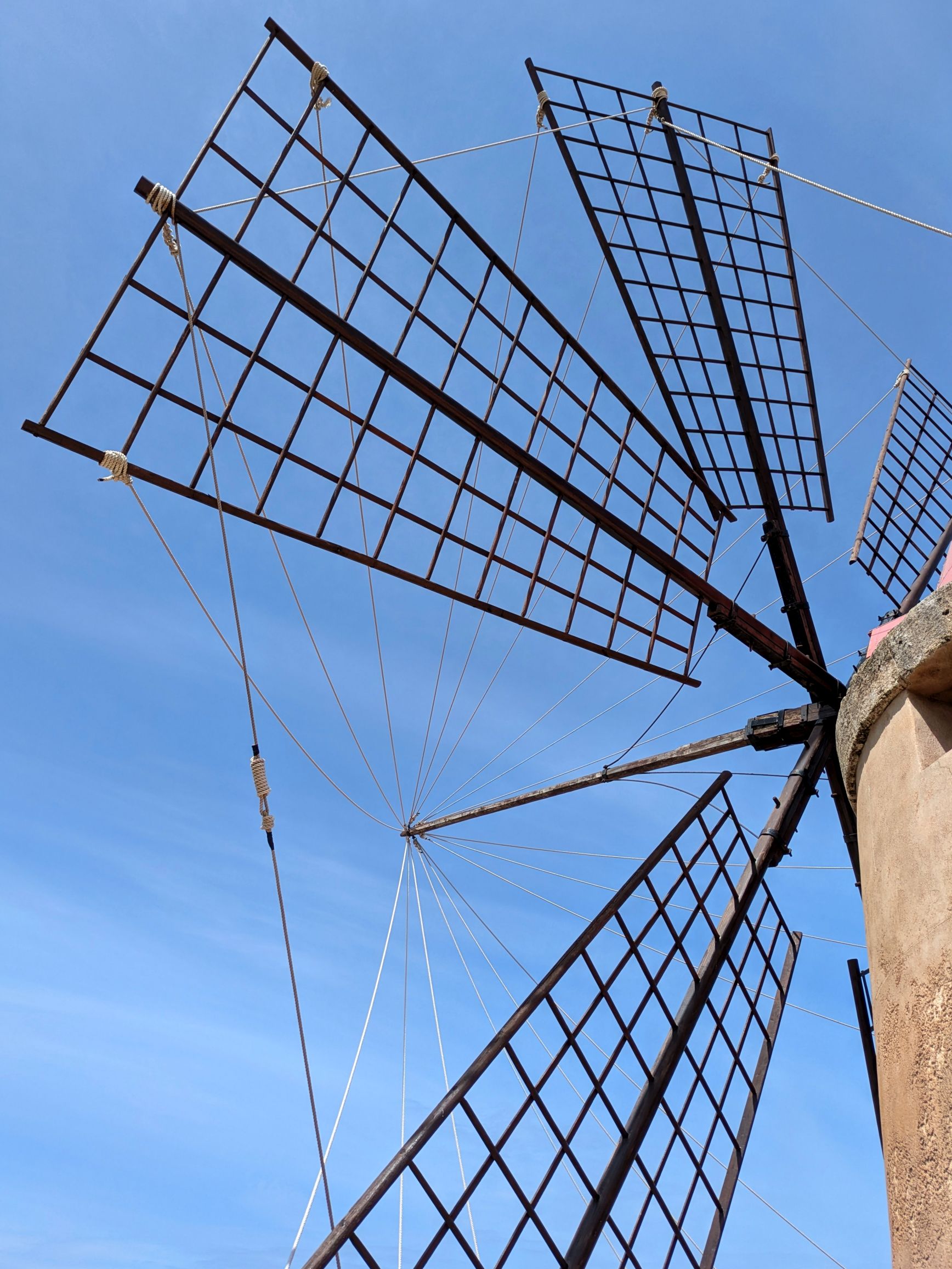
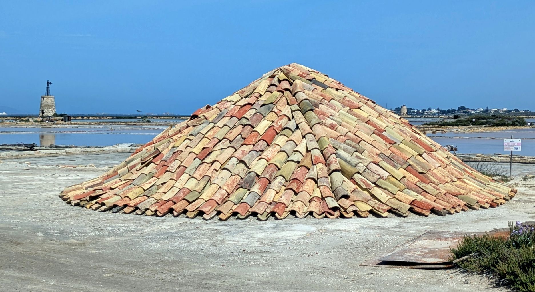
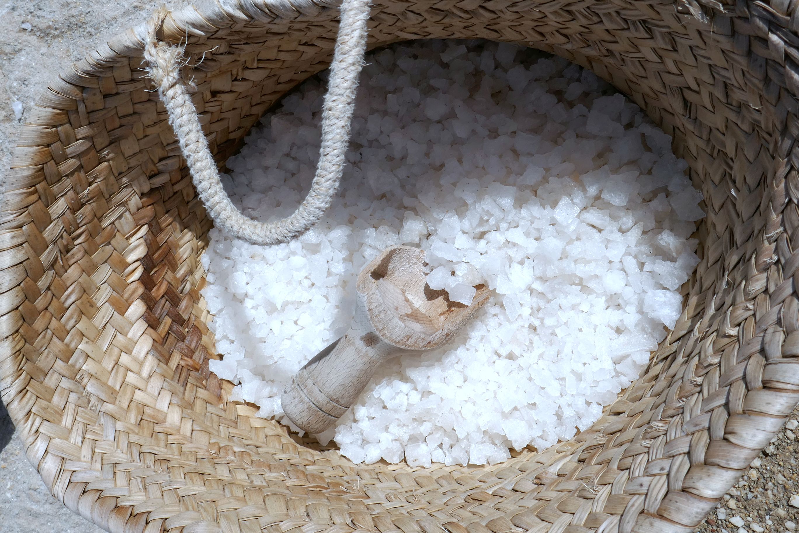
Marsala, in the Trapani region of Sicily, was where our group headed to visit the Museo del Sale, a semi-working salt museum. The region has had a tradition of salt production and refining since the 17th century. We learned about the process and enjoyed a salt tasting. Unfortunately, the salt pans were lacking the big piles of salt I was hoping to see for some photographic interest, but we had some nice views from the top deck of the museum.
(For all photos, click on the image for a full screen view.)
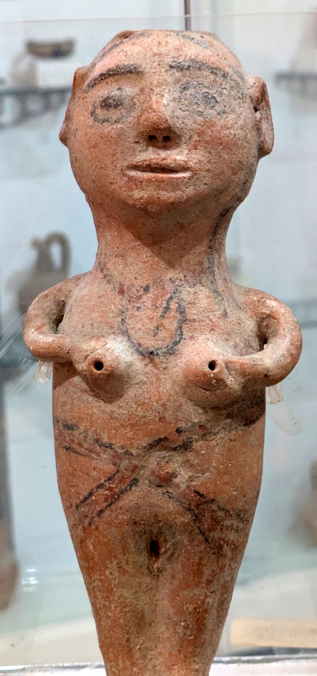
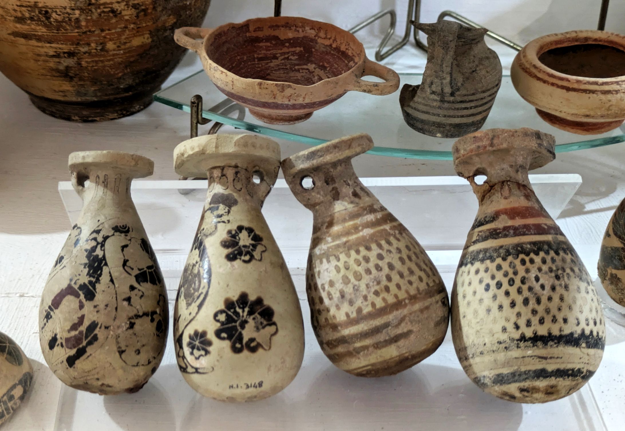
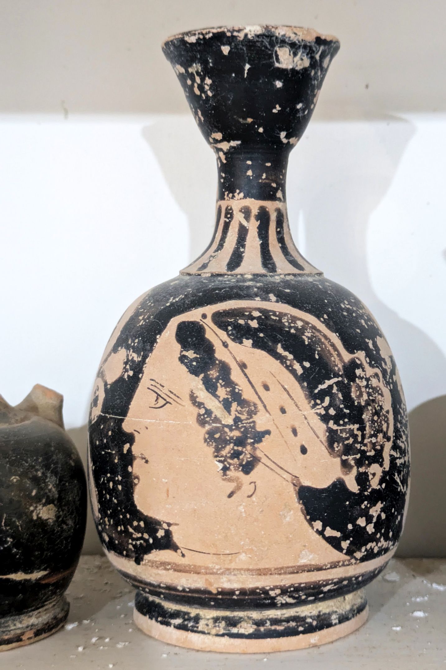
It was a beautiful day for a boat ride and hike, so after visiting the museum, we were taken by boat to tiny San Pantaleo Island to see the Giuseppe Whitaker Museum and the Mozia archaeological park. The museum houses a wonderful collection of very well-preserved Phoenician artefacts dating from 500-600 BC.
The archaeological site was once the prosperous and powerful Phoenician city of Mozia, founded in the 8th century BC. Back in the day, it was a thriving trade outpost. Walking trails lead from the museum out to the site, and since the island is so small, the water views were beautiful. It was a lovely place to spend the morning and early afternoon; and have a picnic lunch of Sicilian dishes with the group.
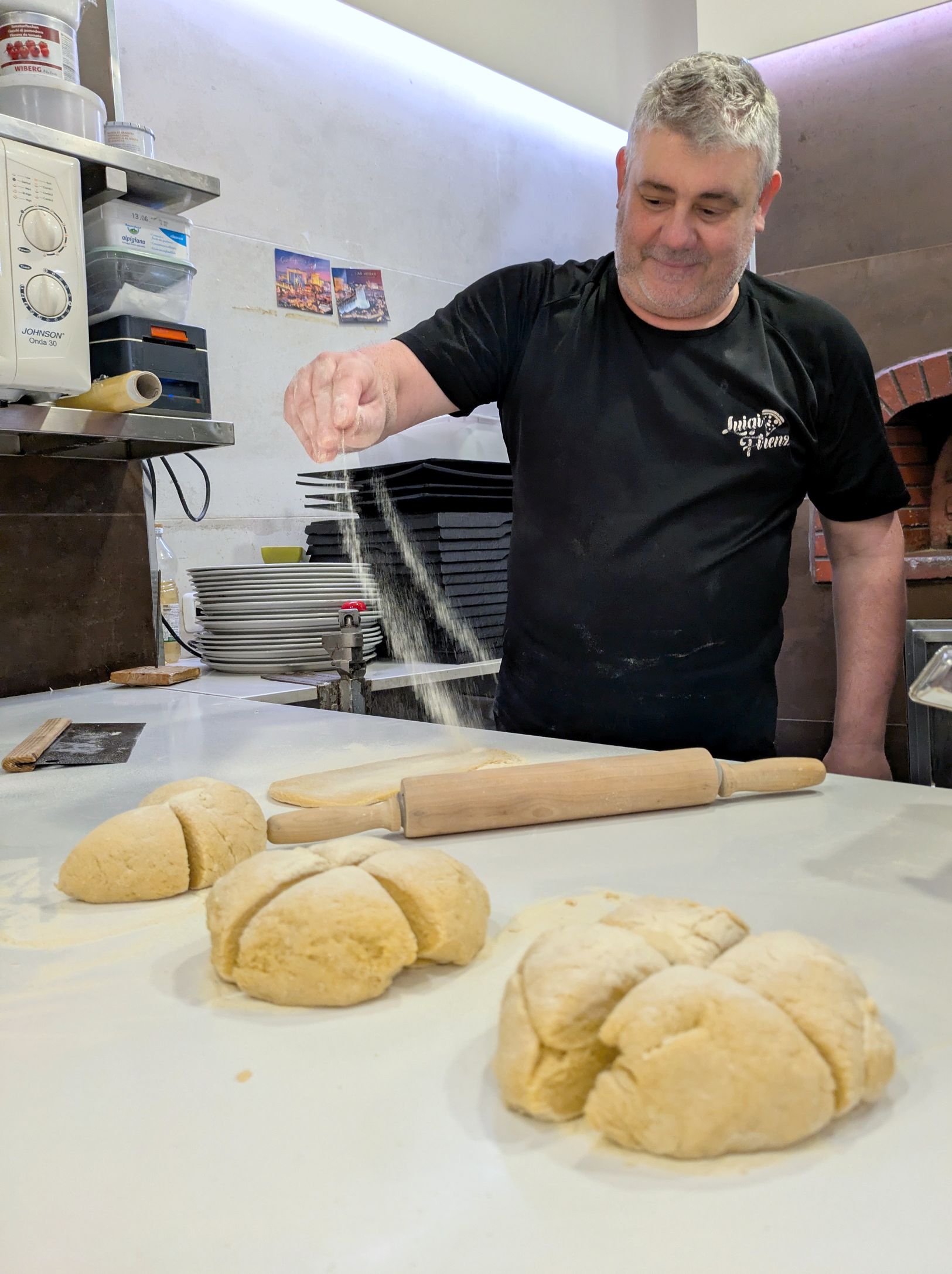
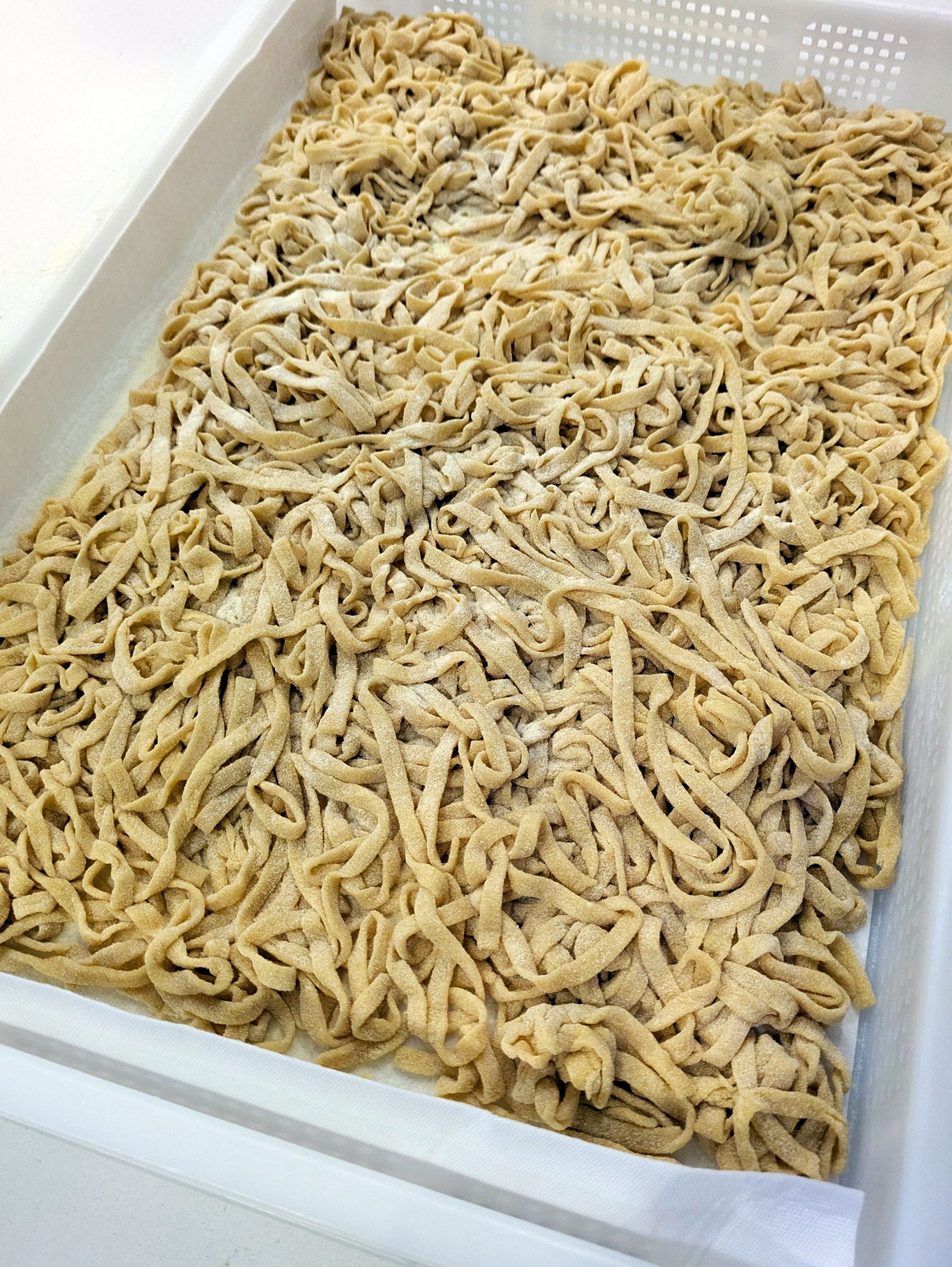
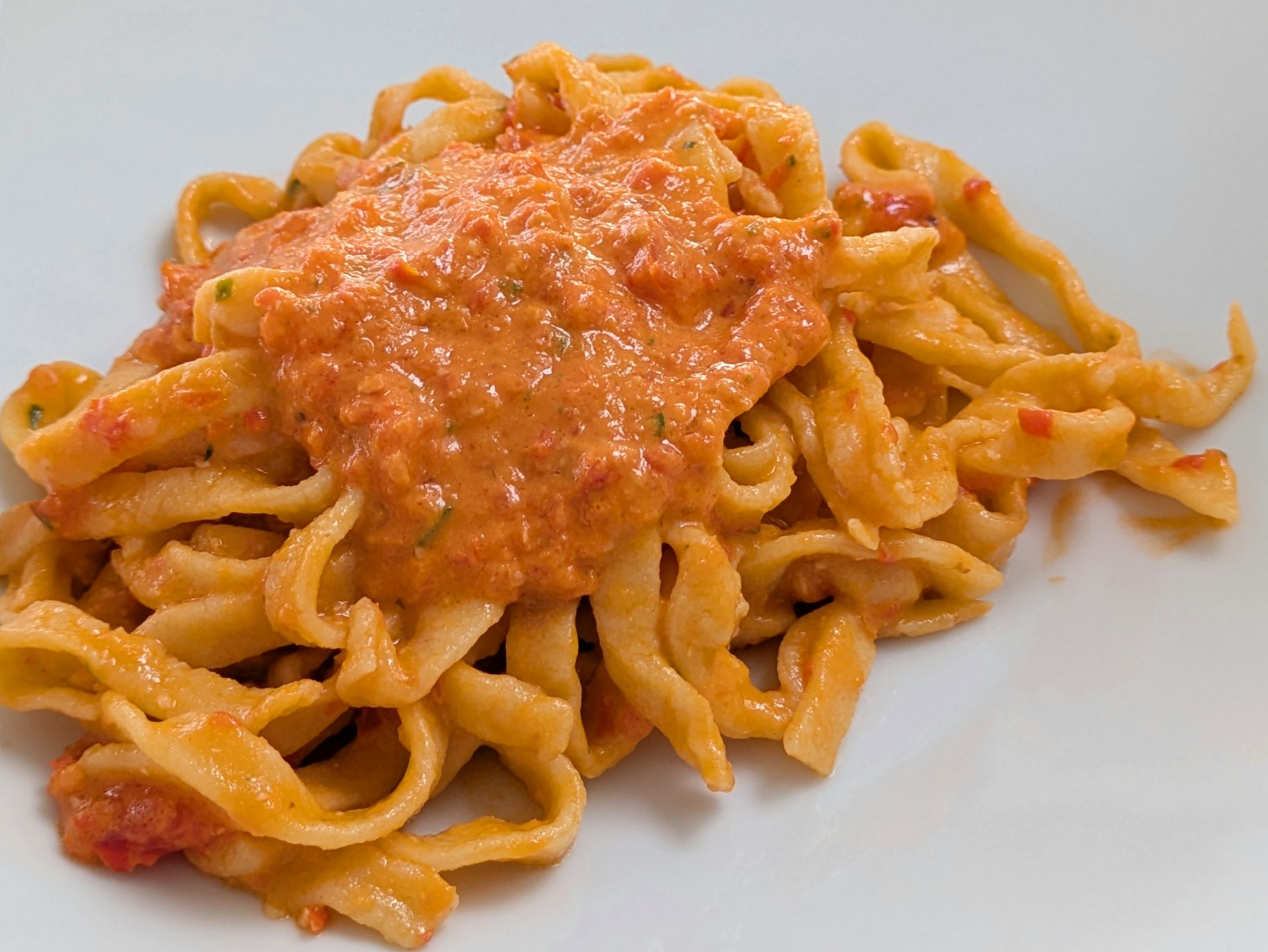
After returning to town, our group walked up to La Vela Ristorante for a cooking class where we learned how to make several Sicilian dishes that we enjoyed for our dinner afterwards. Divided into small teams, I joined the pasta group, where we learned how to make the noodles. Thankfully, every group did an outstanding job, because dinner was fabulous!
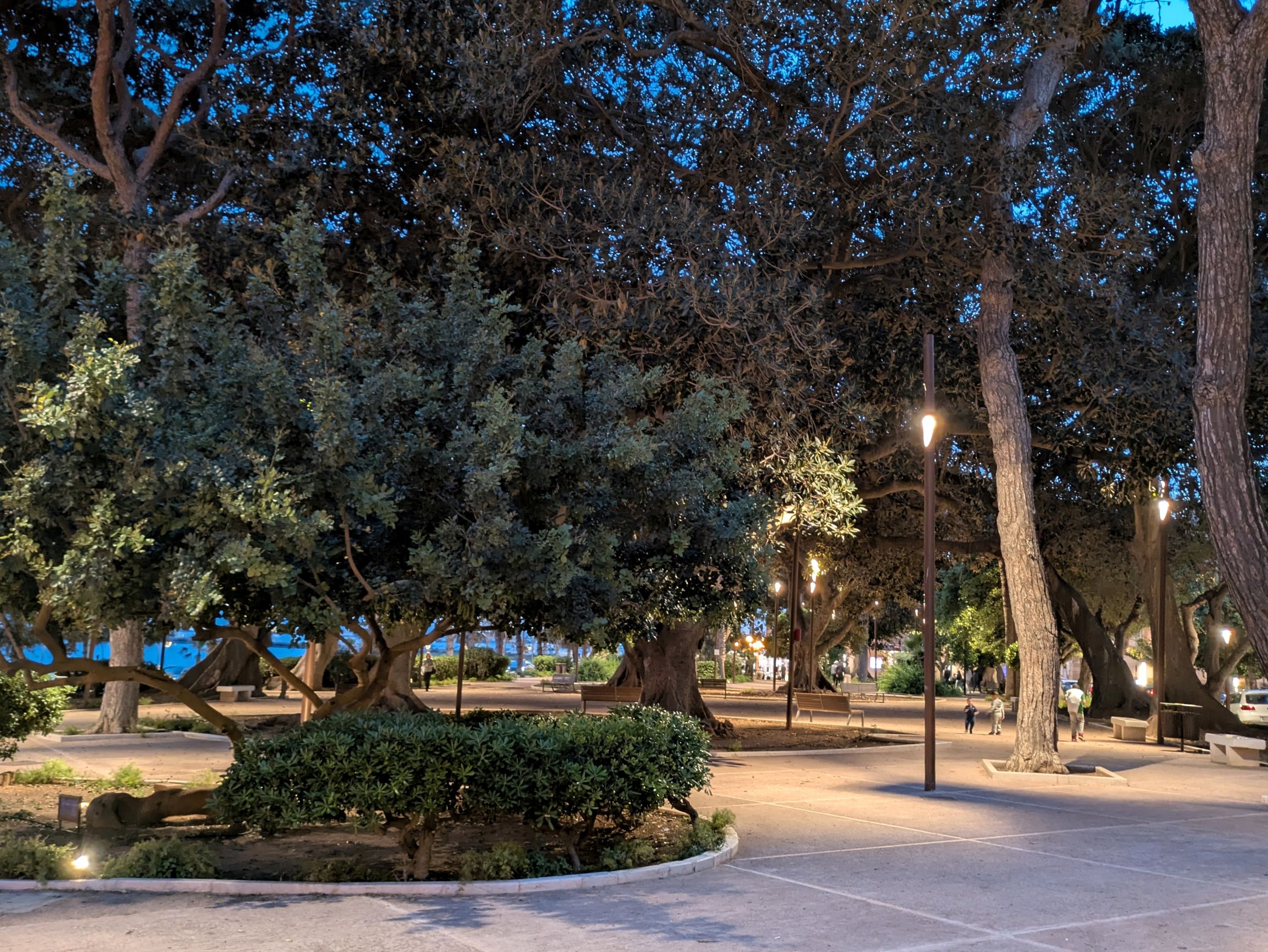
What a beautiful evening for a stroll back to our hotel…
Next up: SICILY & AMALFI COAST #11: VISITING THE VALLEY OF THE TEMPLES & AGRIGENTO
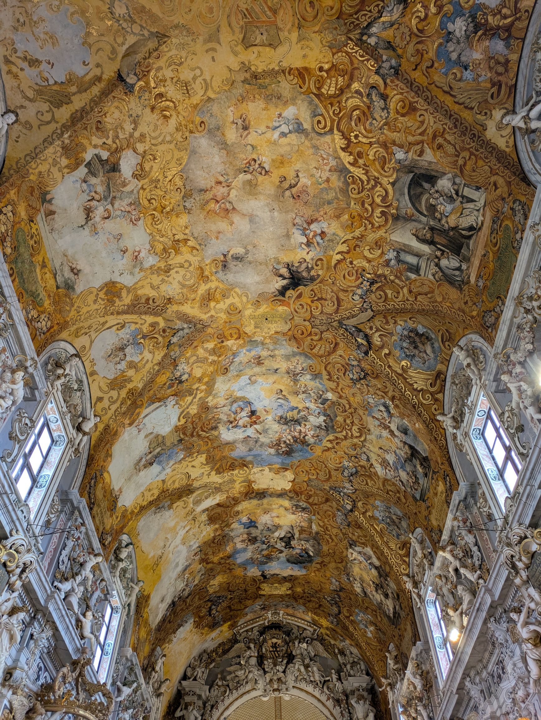
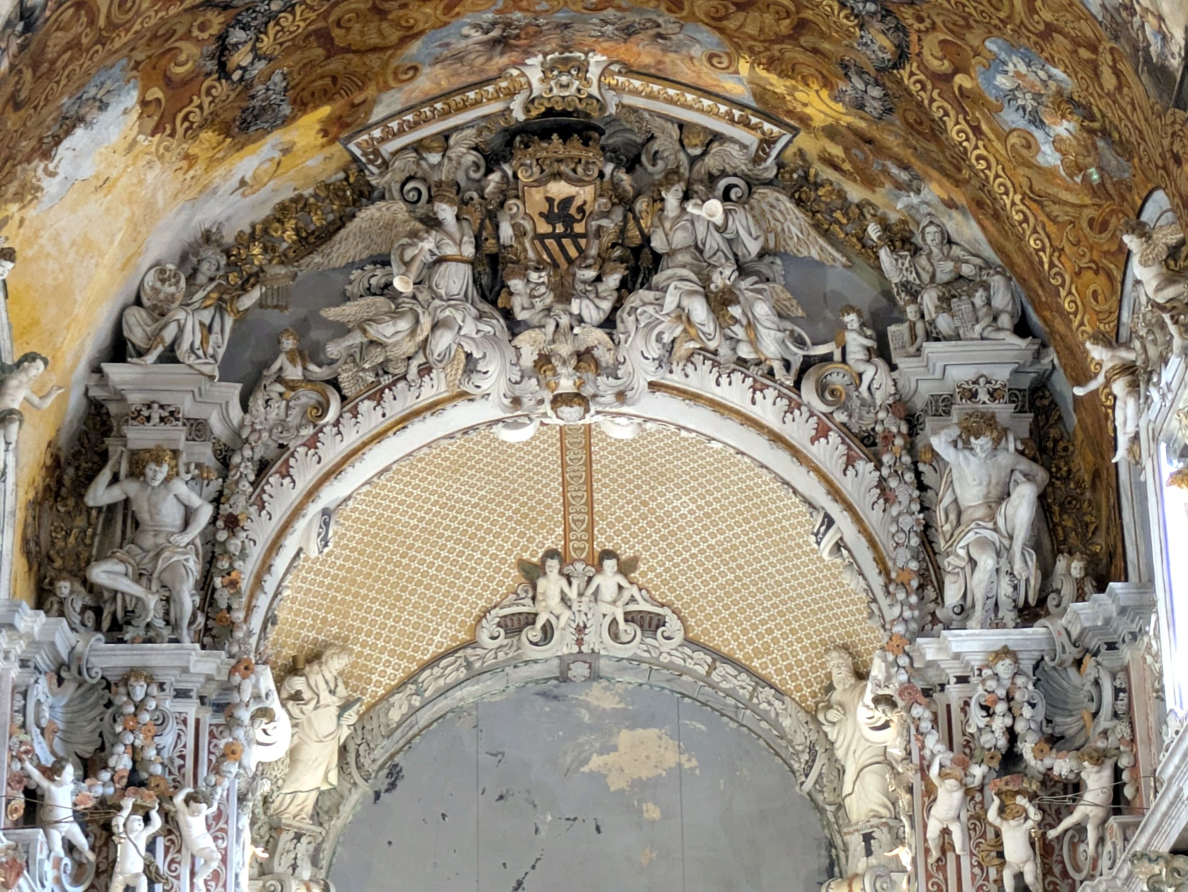
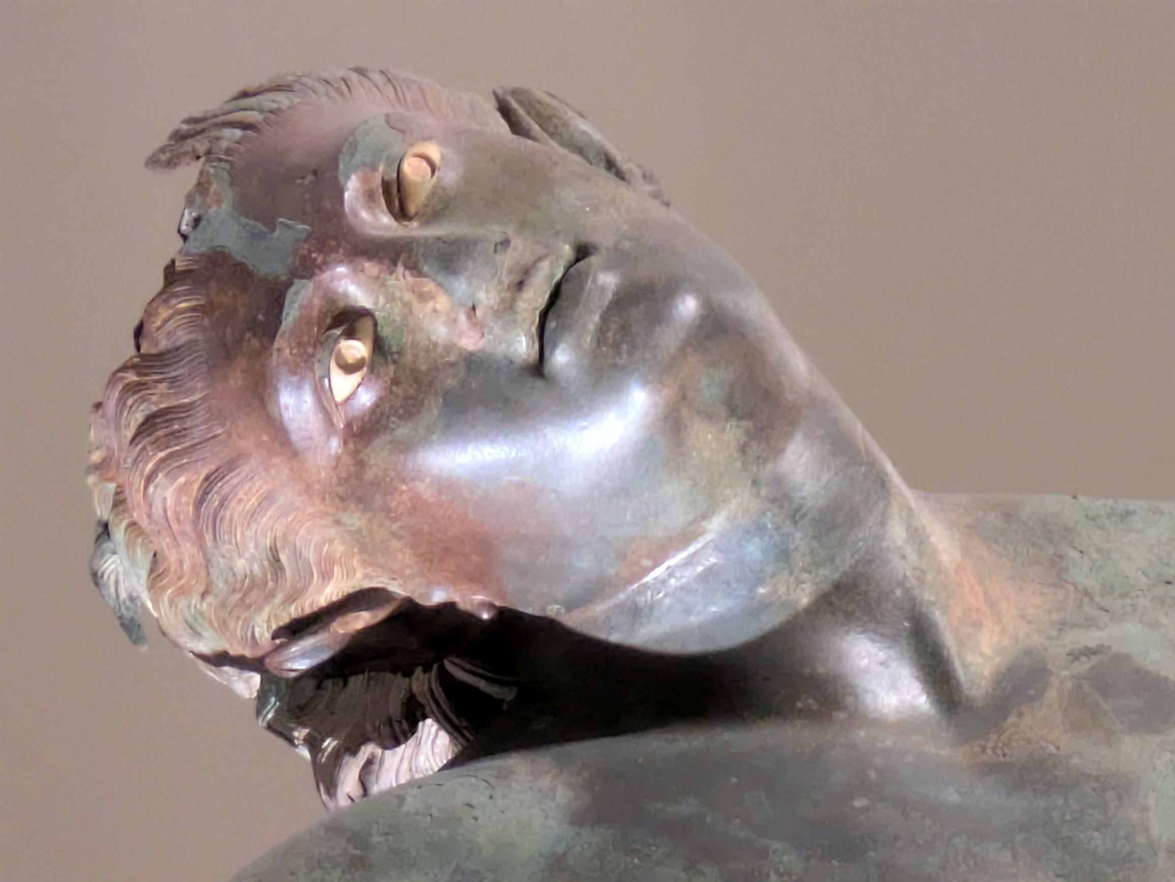
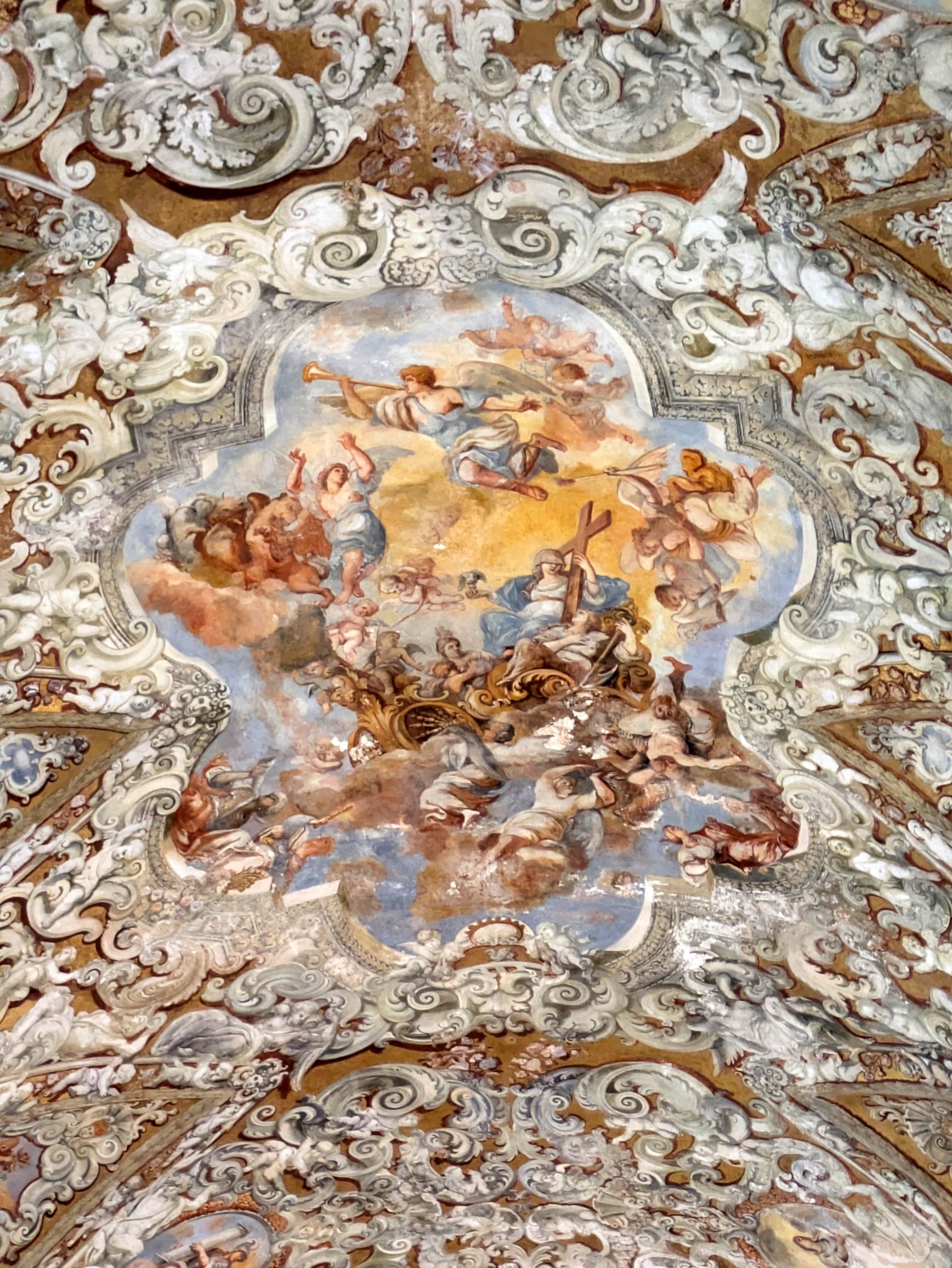
One of the stops we made on our walking tour of Mazara was at the Museum of the Dancing Satyr. The museum is housed in the deconsecrated church of Sant’Egidio, which was incredibly ornate, as you will see in the photos below. What captured our interest wasn’t so much the church, but the story behind the discovery of the bronze Dancing Satyr, believed to date to the 3rd or 2nd century BC.
On March 4, 1998, while Captain “Ciccio” Francesco Adragna, a local fisherman, and his crew were hauling up shrimp, the torso of the sculpture came up along with it. Seven months prior, while also fishing for shrimp, the leg of the sculpture was entangled in the net and broke off. Francesco spent the next seven months returning to the area in search of the remaining statue.
After visiting the museum and seeing the statue, which itself was a memorable experience because of the back story, our tour leader (also “Francesco”), escorted us into a theater for a surprise. Ciccio Francesco came to speak with us about his adventure discovering the sculpture! After his slide show presentation, we were able to ask questions and learned he and his crew were rewarded 600,000 euros for their discovery. Of that, 250,000 euros went to the owner of the boat, and he personally took home 60,000 euros.
At 65 years old, Ciccio Francesco retired after 50 years of professionally fishing the waters off Mazara. He spends some of his retirement time hosting Overseas Adventure Travel groups for lunch at his home, averaging about 200 lunches per year.
We didn’t know this until after his talk, when he showed up as one of the hosts while the 16 of us were divided up into three groups to go to our home-hosted lunch. Bruce and I, along with three other people, were assigned to Ciccio Francesco, and he drove us to his home.
Joining us for lunch was Francesco’s girlfriend, Angela, her daughter, Lea, and his grandchild, Carlotta, age 7. Lea, a 26-year-old pharmacist, took the day off from work and joined us so serve as translator. Her English was impeccable!
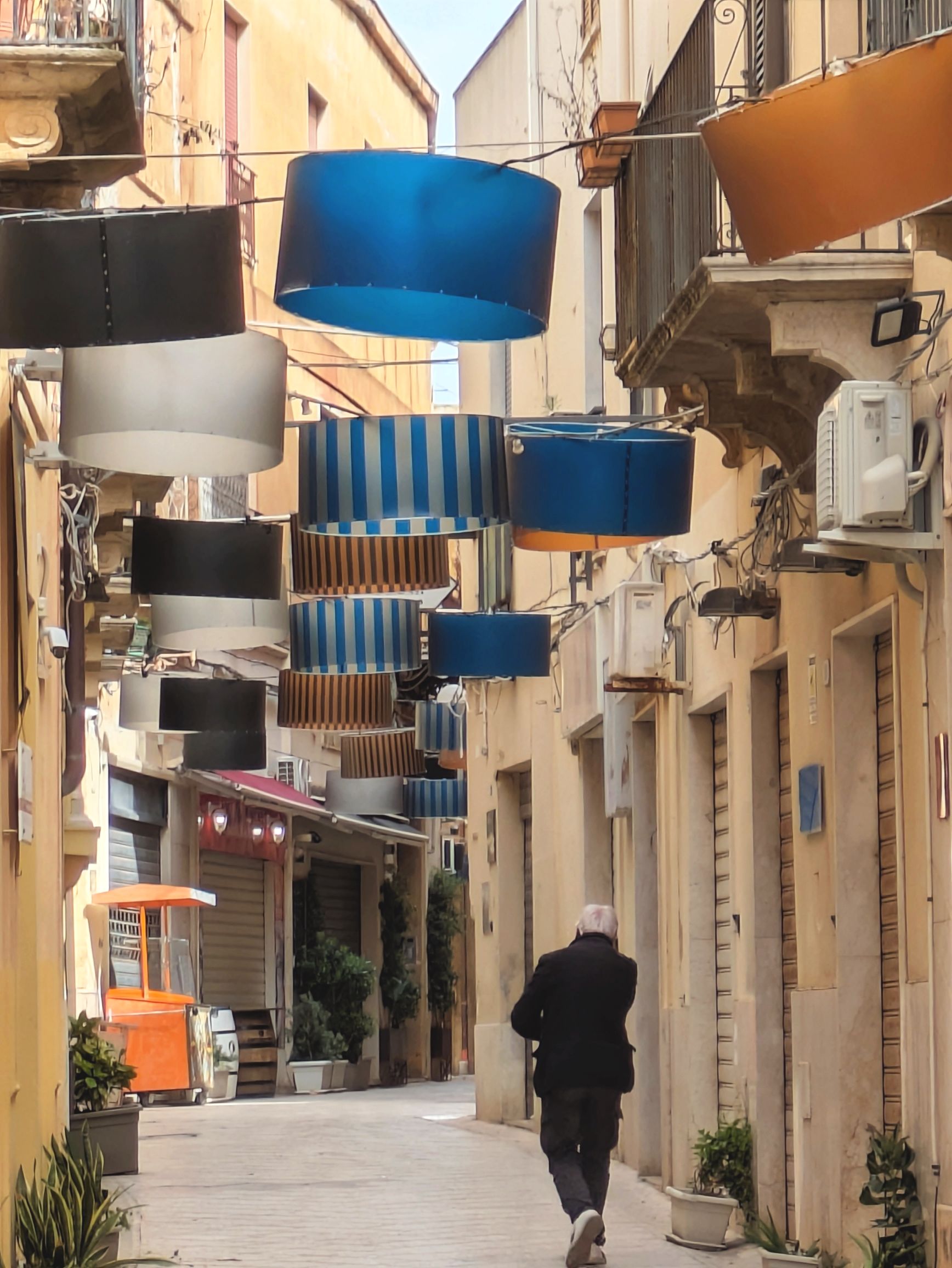
Here, then are scenes from the remainder of our day in the Kashah of Mazara:
(For all photos, click on the image for a full screen view.)
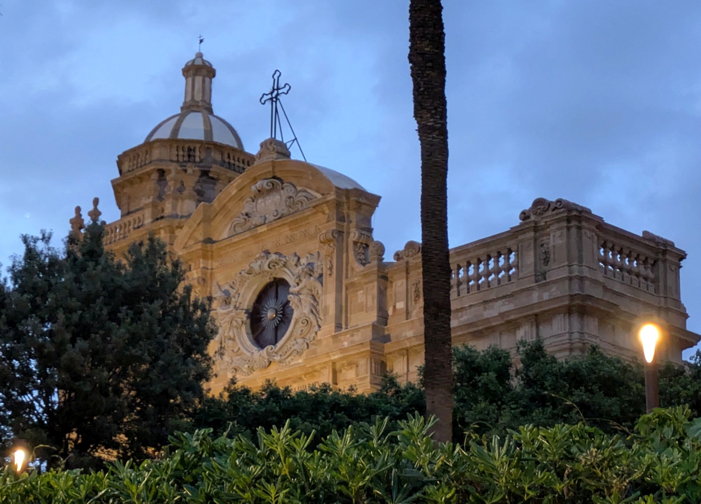
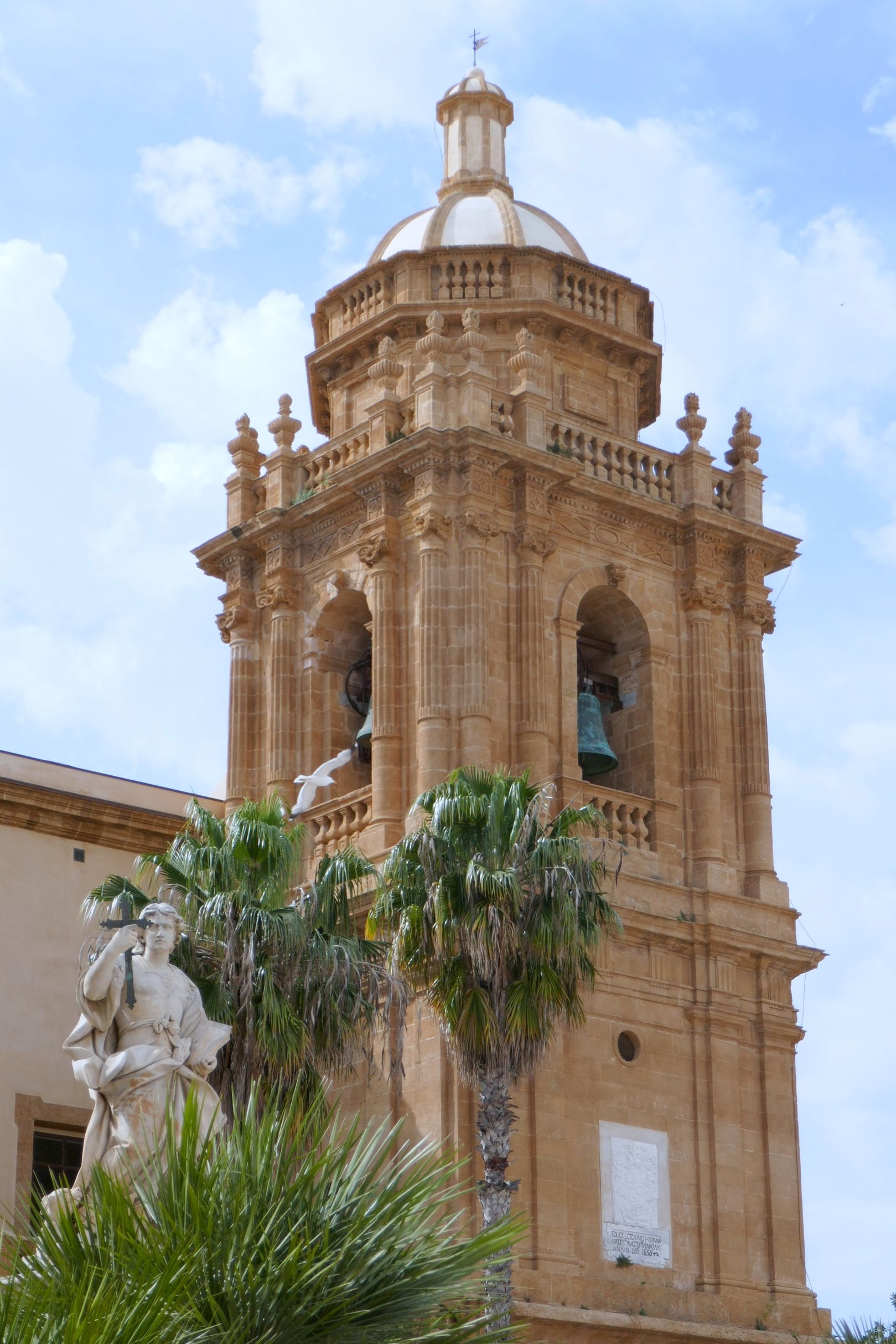
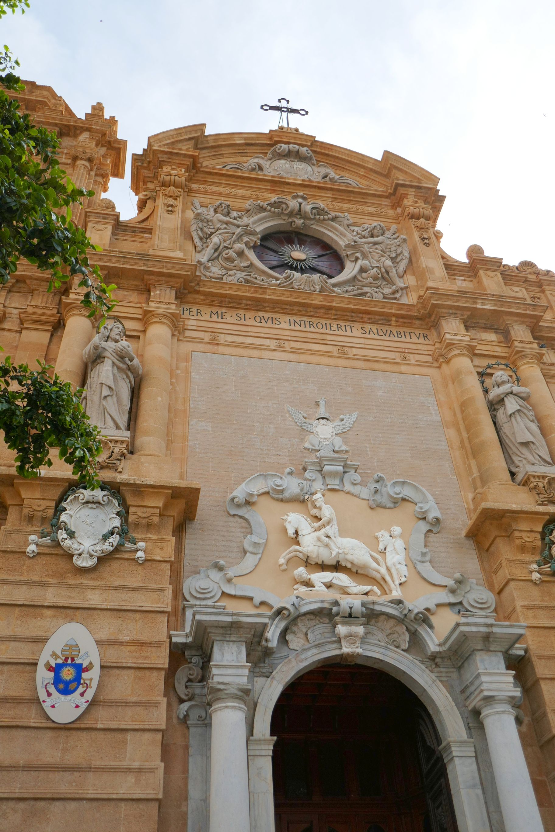
Church of Sant’Egidio is the location for the Museum of the Dancing Satyr
The Dancing Satyr
Captain “Ciccio” Francesco Adragna
Ciccio, Carlotta, Angela, and Lea in their home for our home-hosted lunch.
More scenes from the day:
The view from our hotel window
Guests from our hotel were stylin’
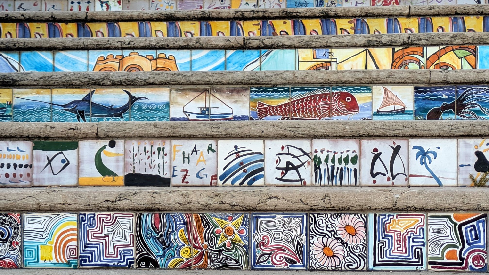
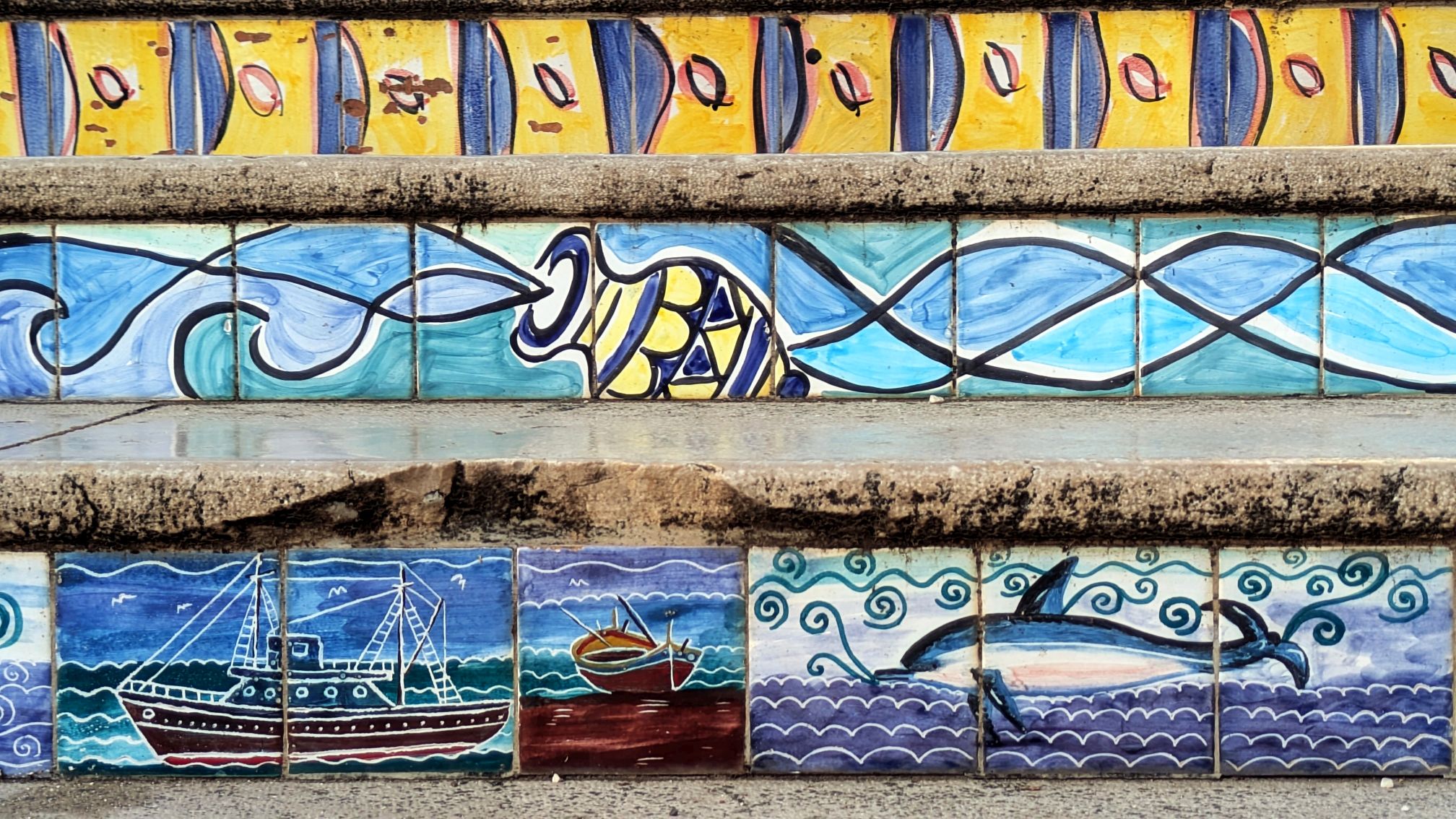
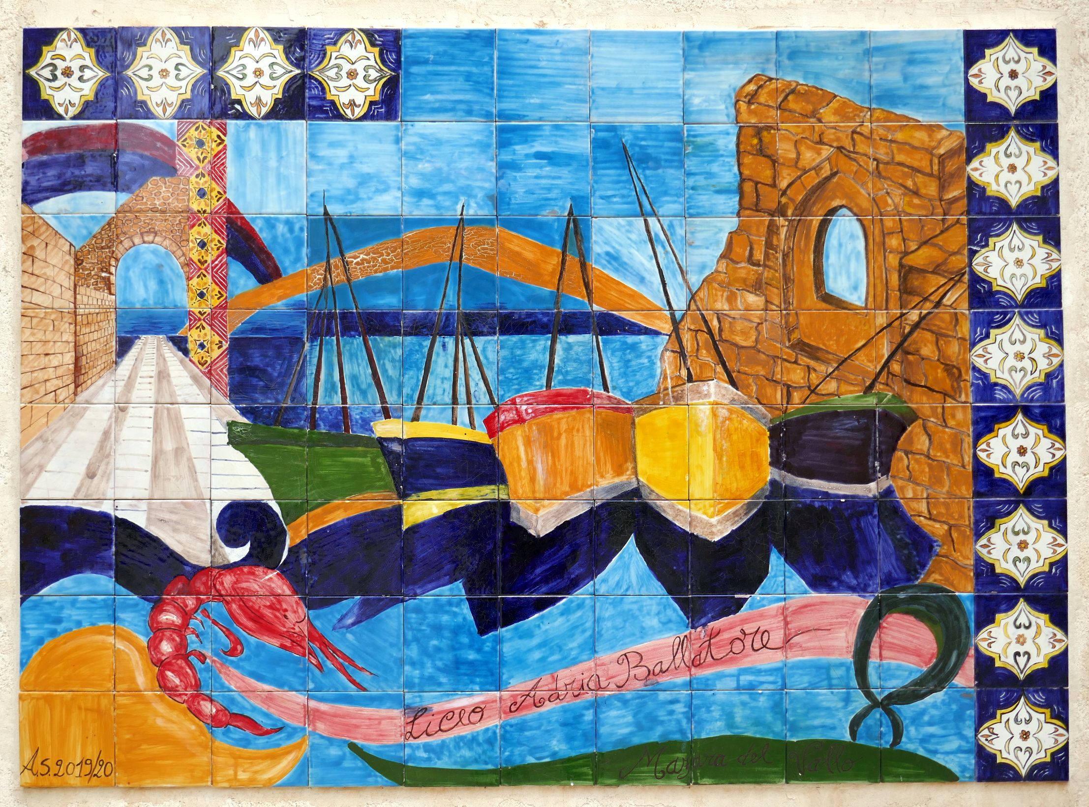
Stairs leading up to the Kasbah
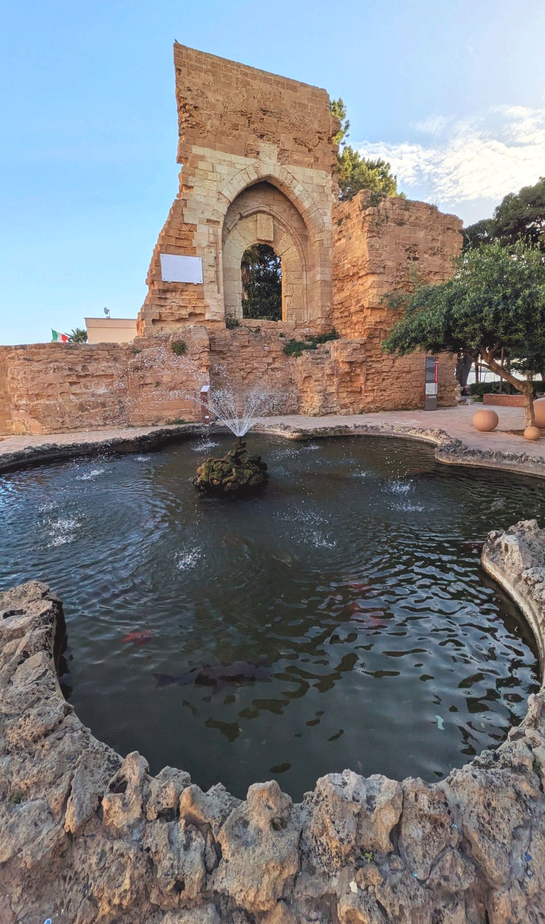
Norman Arch: The city of Mazara del Vallo, after about three centuries of Islamic domination, was conquered by the Normans in 1072. They surrounded the city with walls and towers as well as a castle. In the 19th century, it was demolished, and this is all that remains.
Cathedral of 1000 Angels
Coming up next: SICILY & AMALFI COAST #10: SEEING SALT PRODUCTION & MOTORING TO MOZIA