(For all photos, click on the image for a full screen view.)
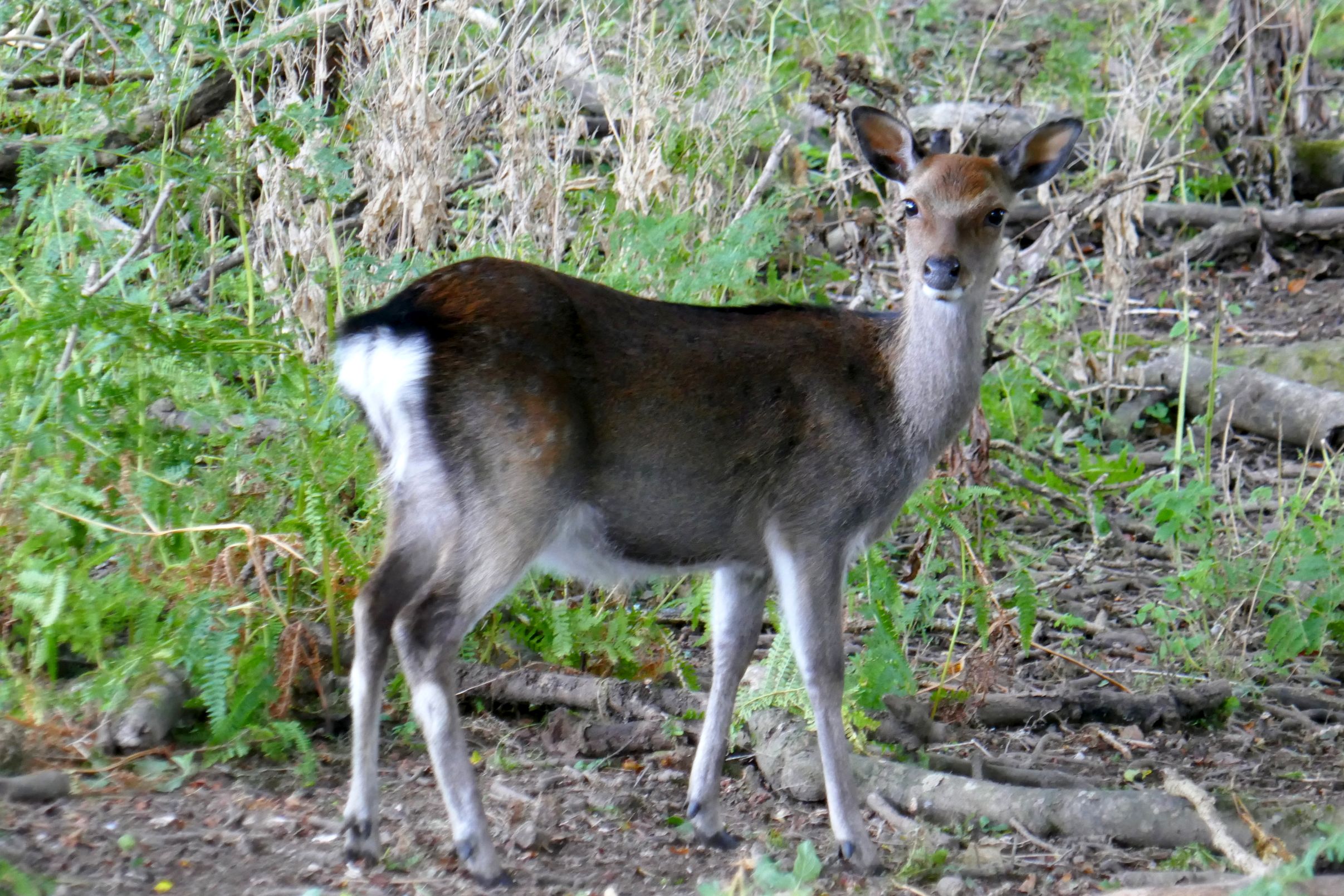
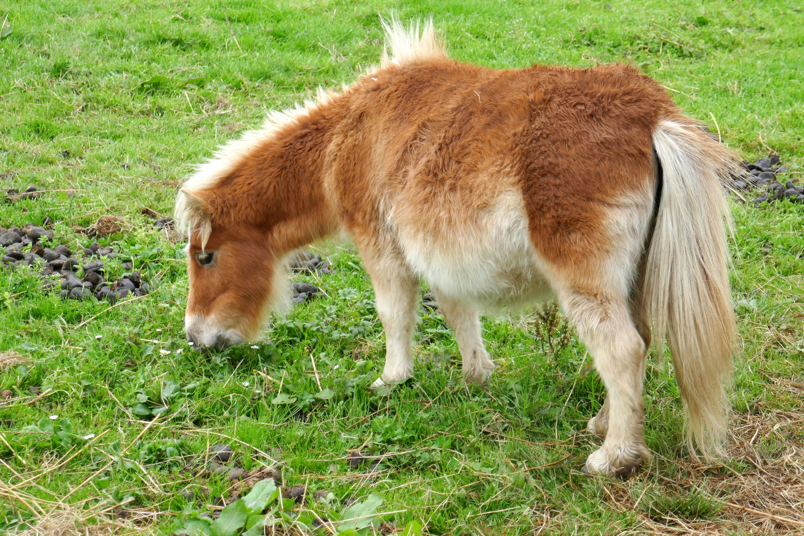
It was good timing to go through the park in the morning, because we were able to see dozens of red deer grazing.
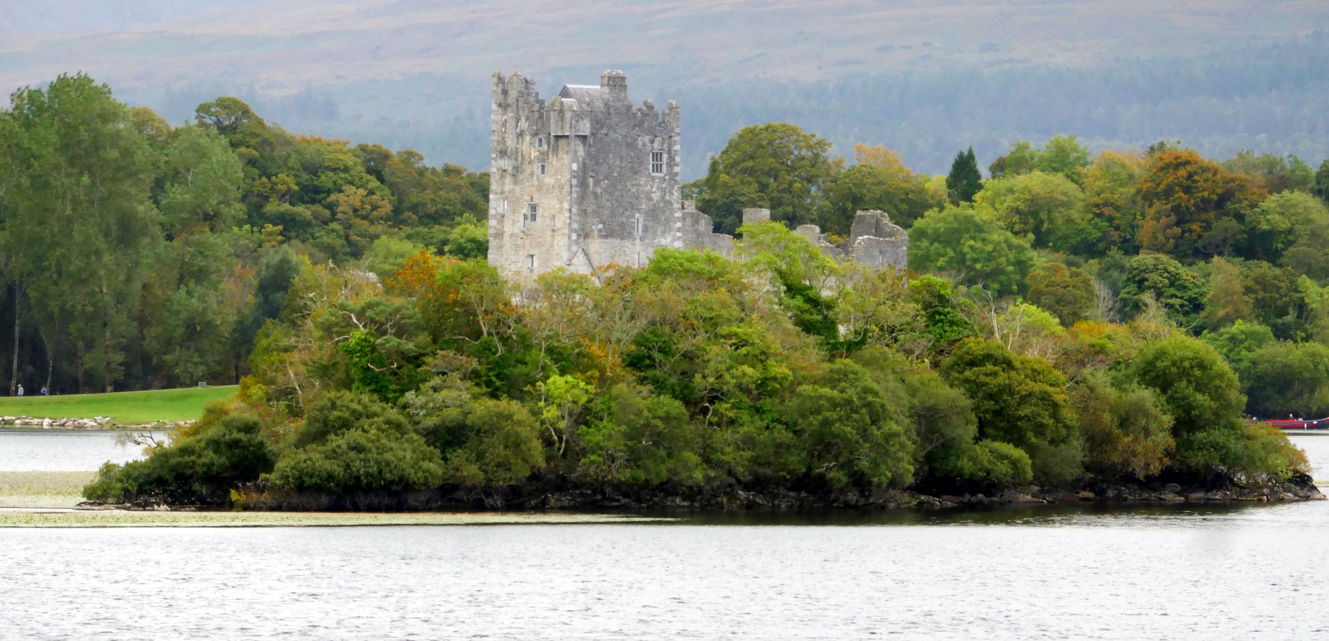
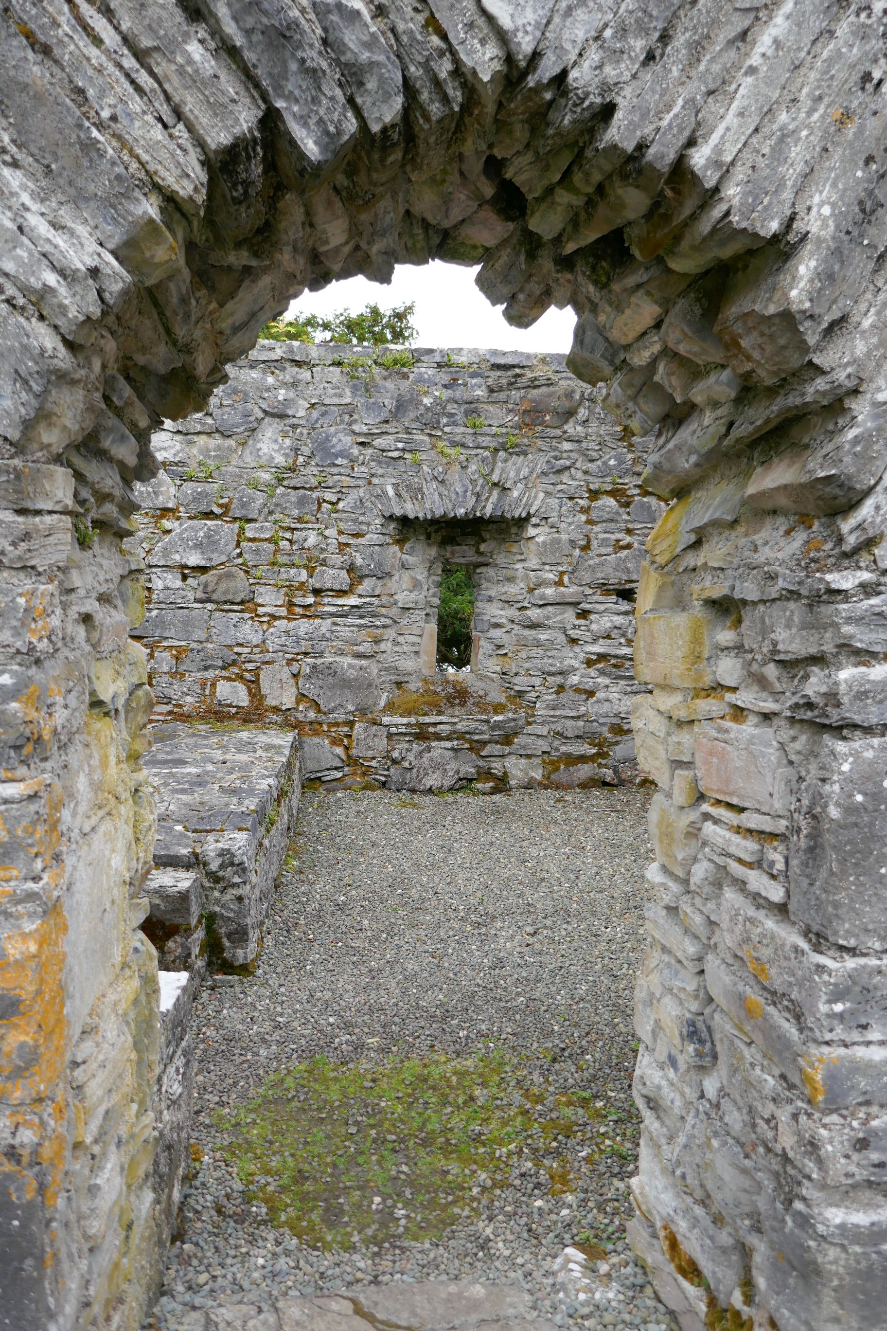
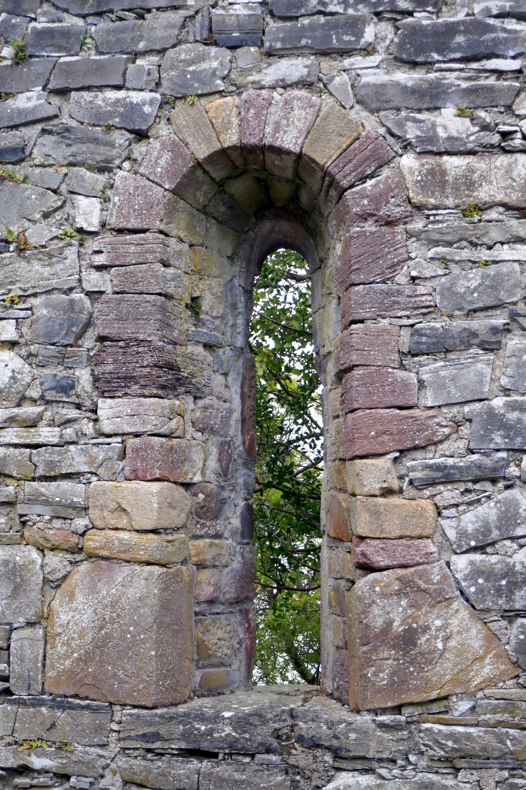
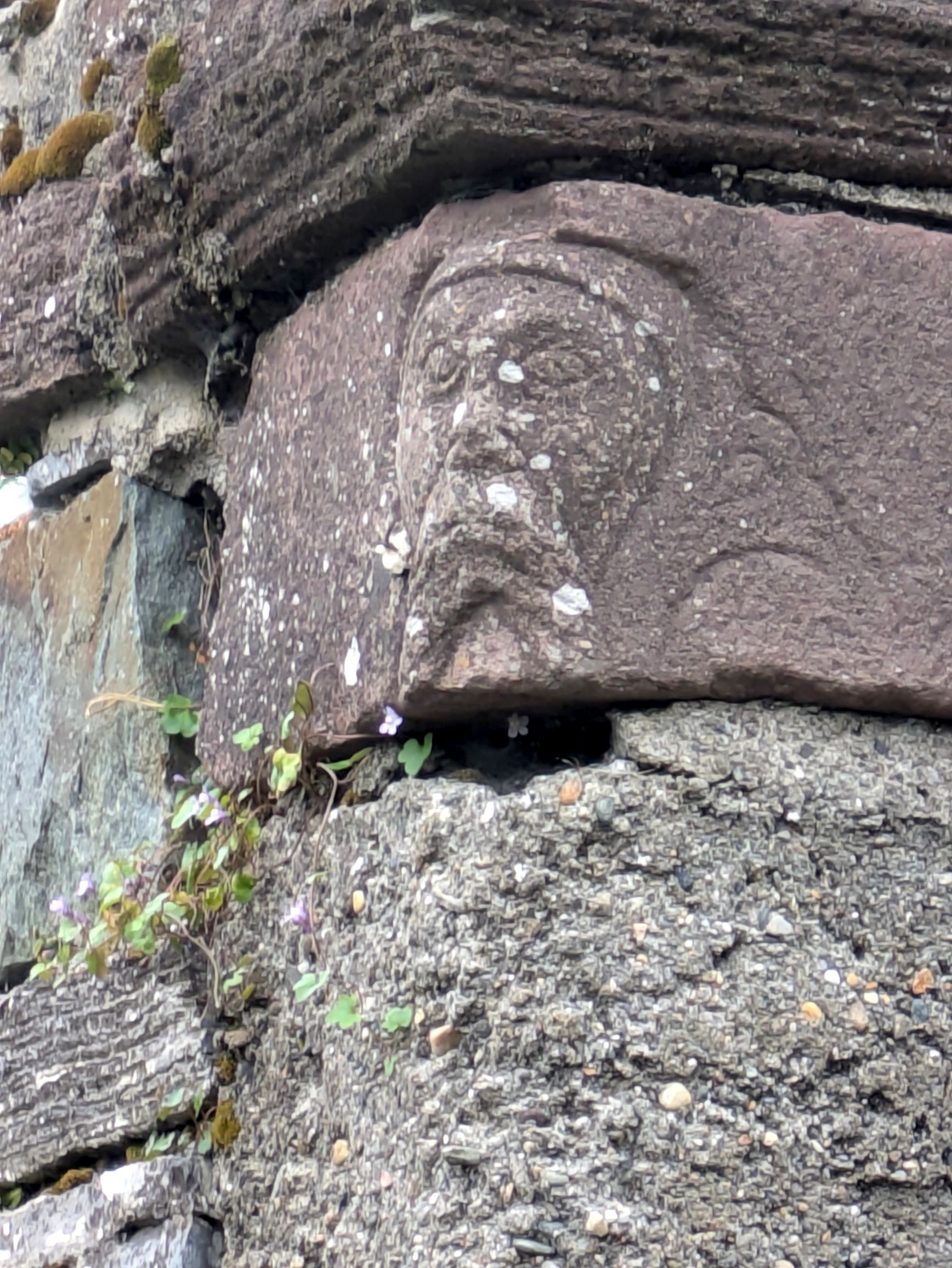
At the lake, we boarded a small boat for a guided tour to Innisfallen Island. On the island, our group learned about the ruins of the 7th century Innisfallen Abbey. When we arrived, there were several deer grazing around the ruins. They didn’t seem too bothered by us; they have become used to the tourists coming to their island on a regular basis.
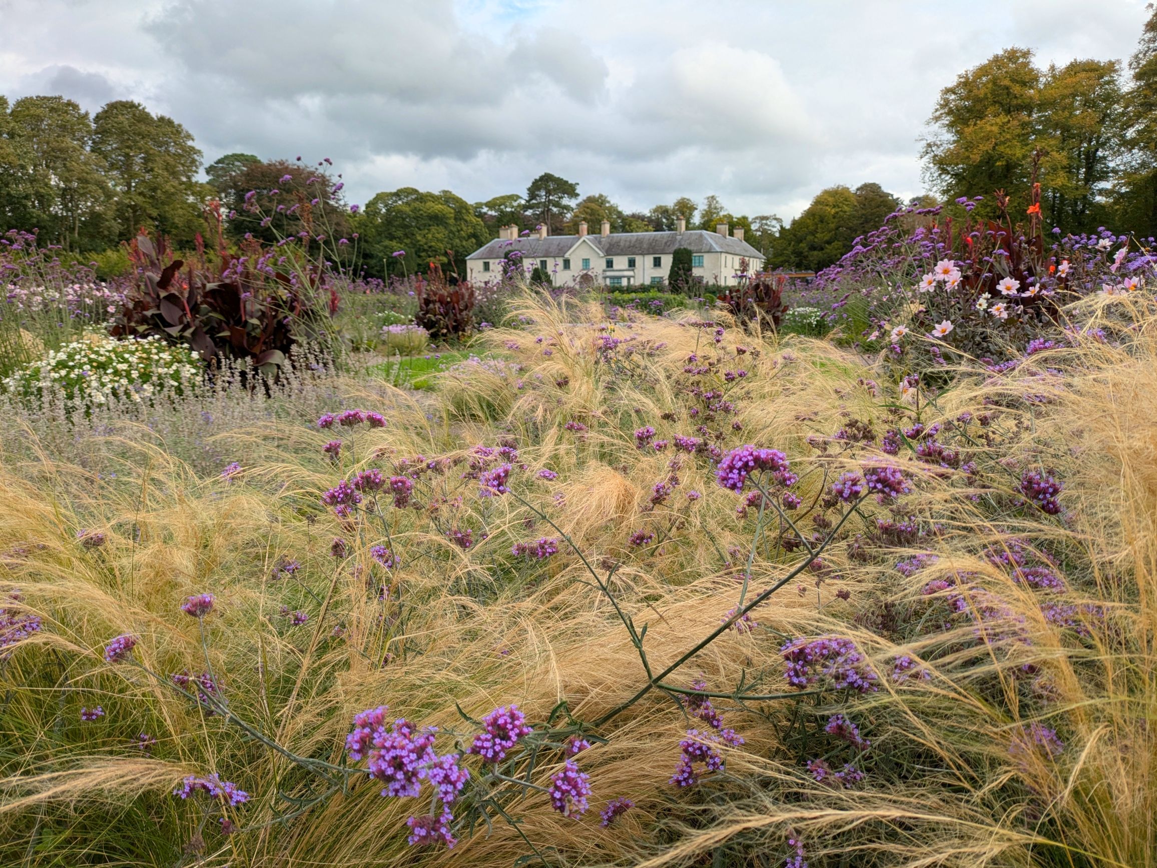
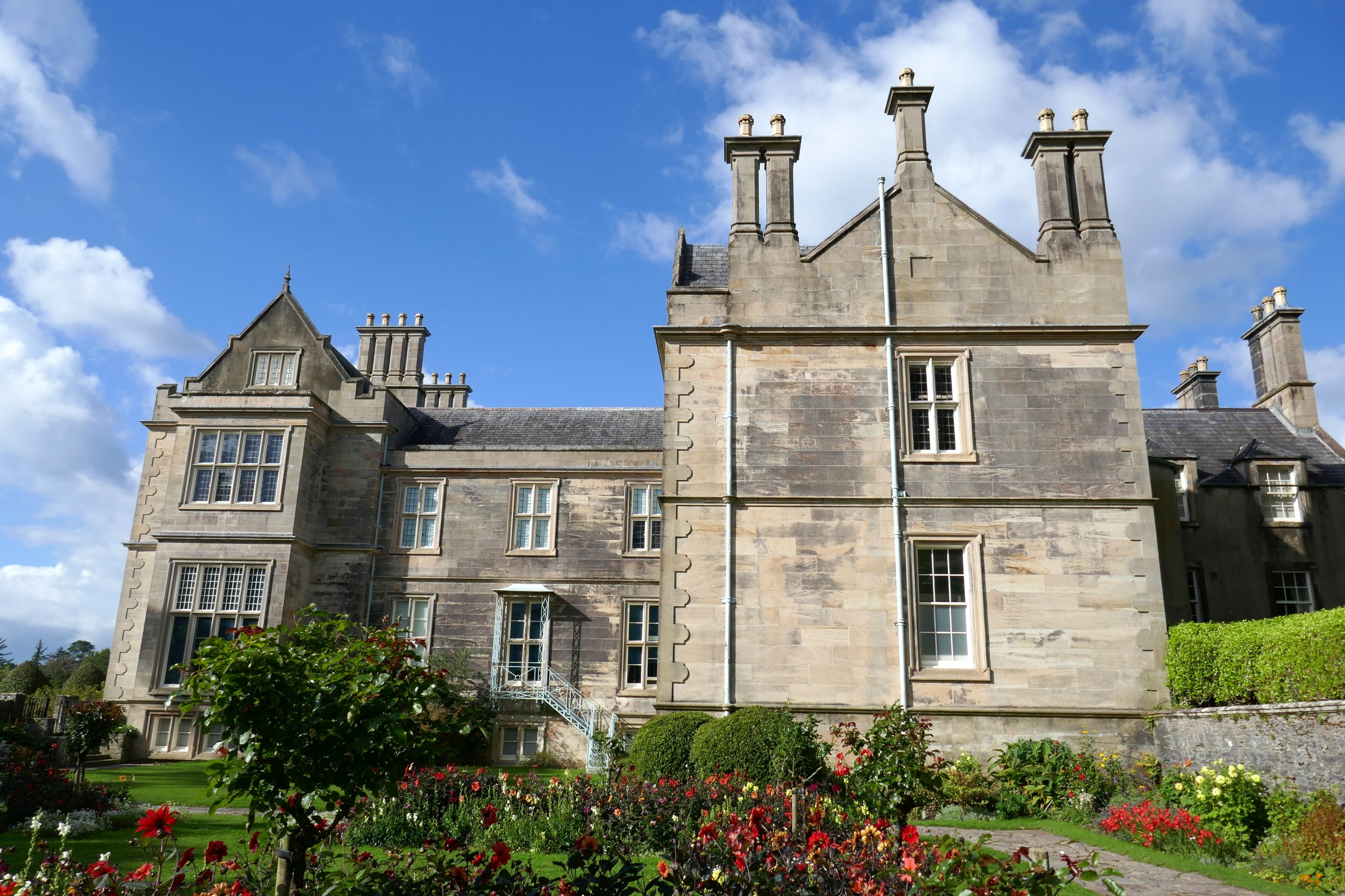
Following our boat tour, we visited Killarney House and Gardens, which are also part of Killarney National Park. Originally, the house was the stable block of the Kenmare House, a French chateau style mansion, built by Valentine Browne in 1726.
The morning had been quite gloomy, but the skies cleared for our final afternoon in Ireland.
Well, folks, that about wraps up this Irish adventure—finally! (We returned home from our six weeks in the U.K. in early October!)
Later this year, we will be traveling to Sicily and Turkey, and then Spain and Portugal. In between, I will be competing in swimming at the National Senior Games, in Des Moines, Iowa. Stay tuned!
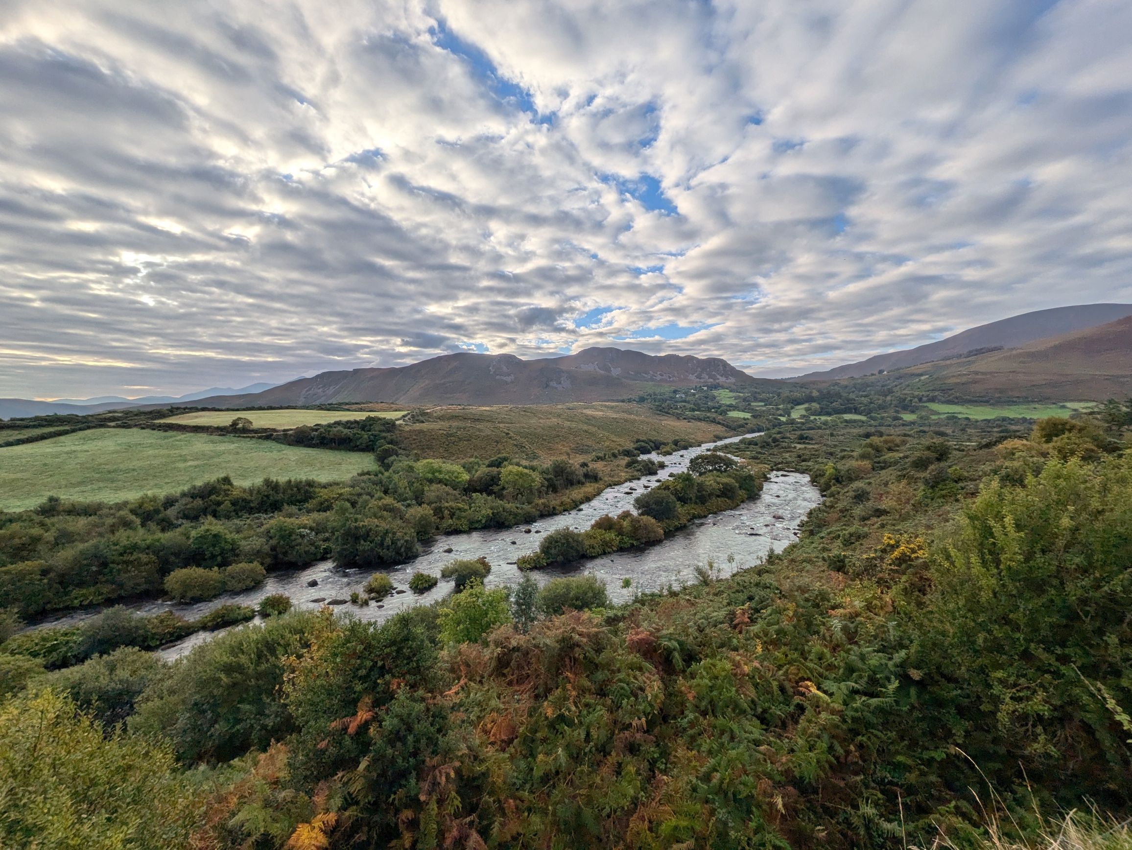
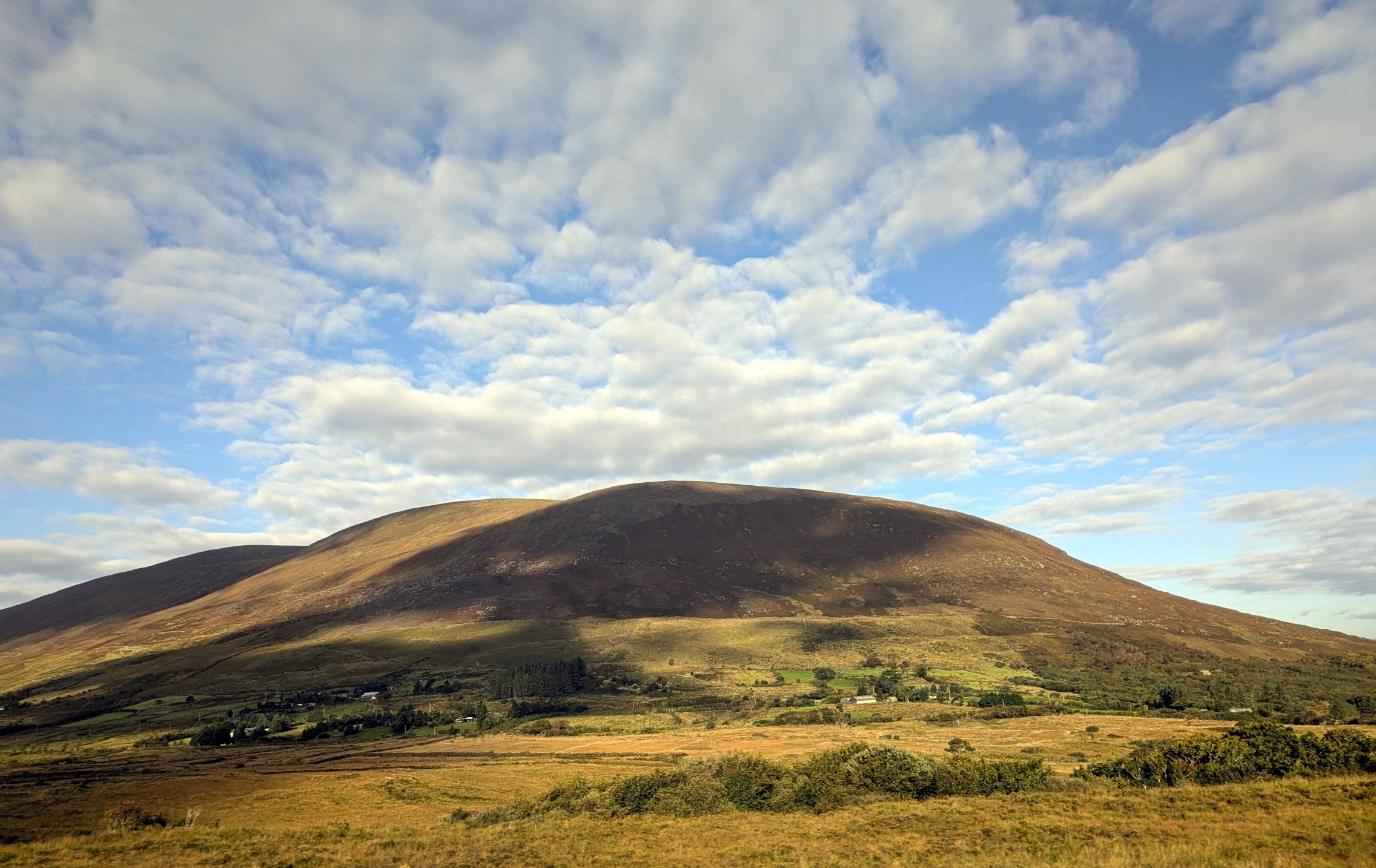
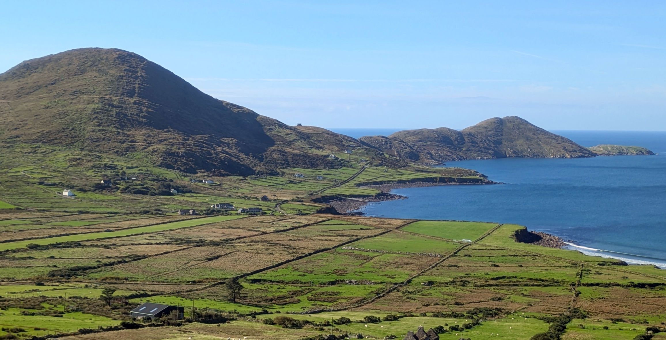
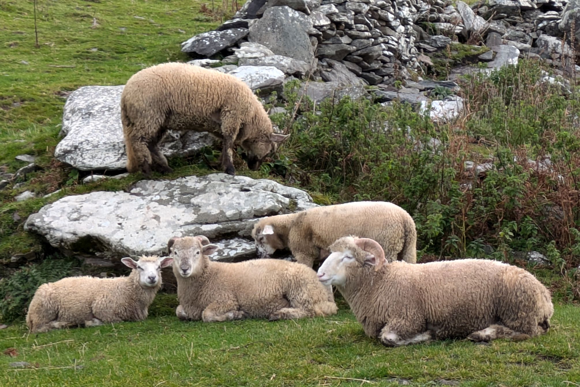
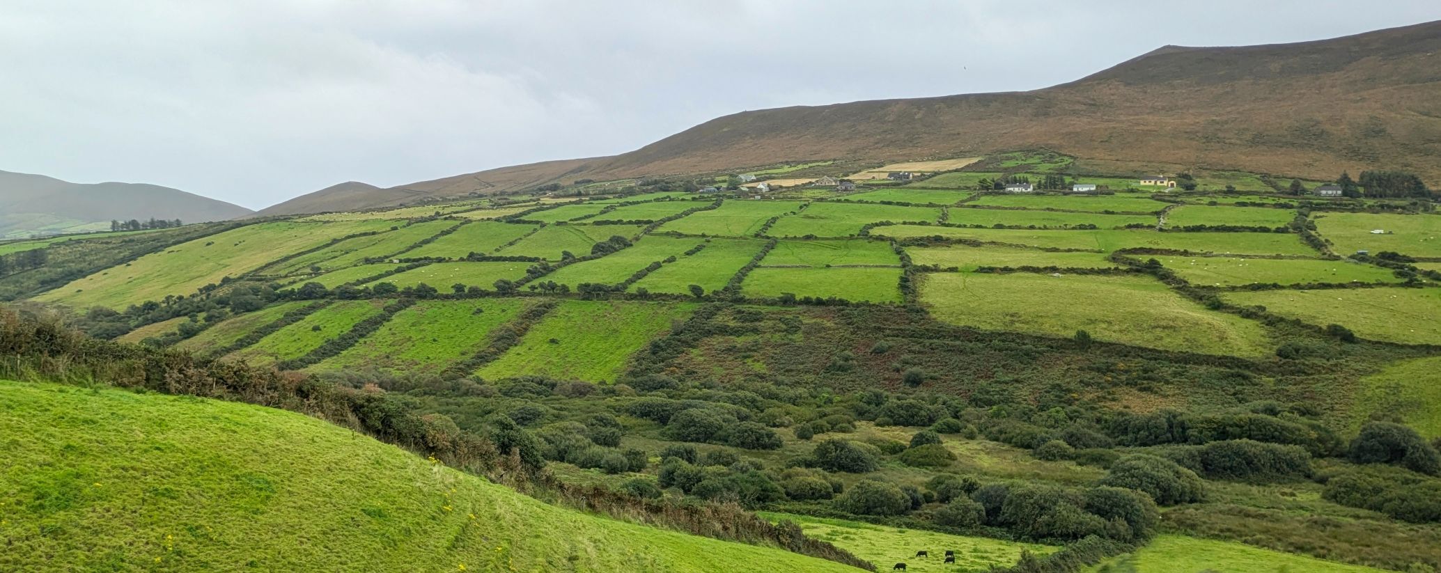
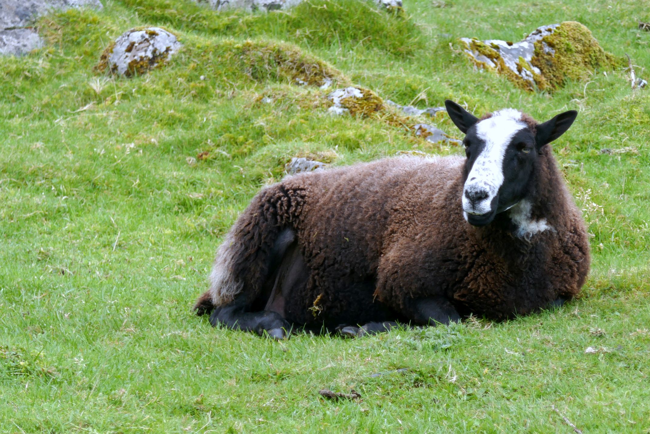
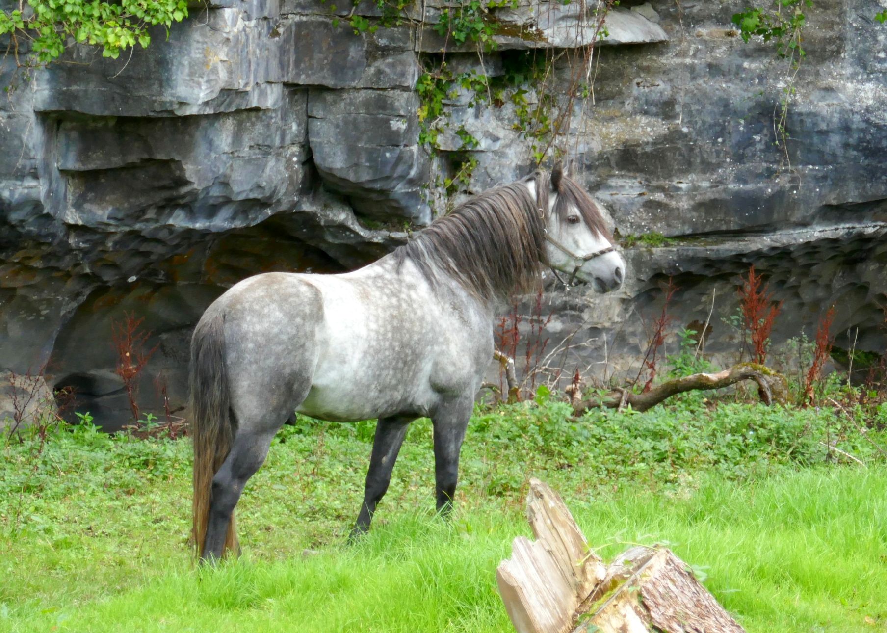
This is such a beautiful, green region of Ireland! The Ring of Kerry, in the southwest area of the country, is a 111-mile long circular scenic route popular with tourists. The roads are windy, the cliffs along the coast are rugged, and the sloping valleys and rolling hills are dotted with sheep.
(For all photos, click on the image for a full screen view.)
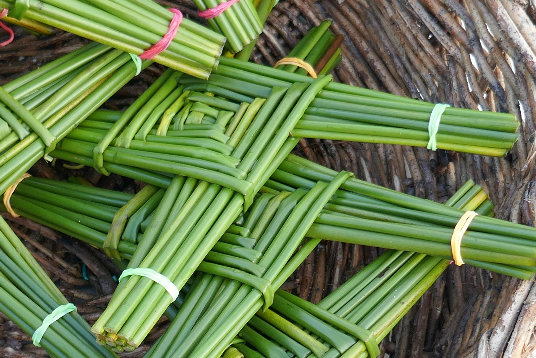
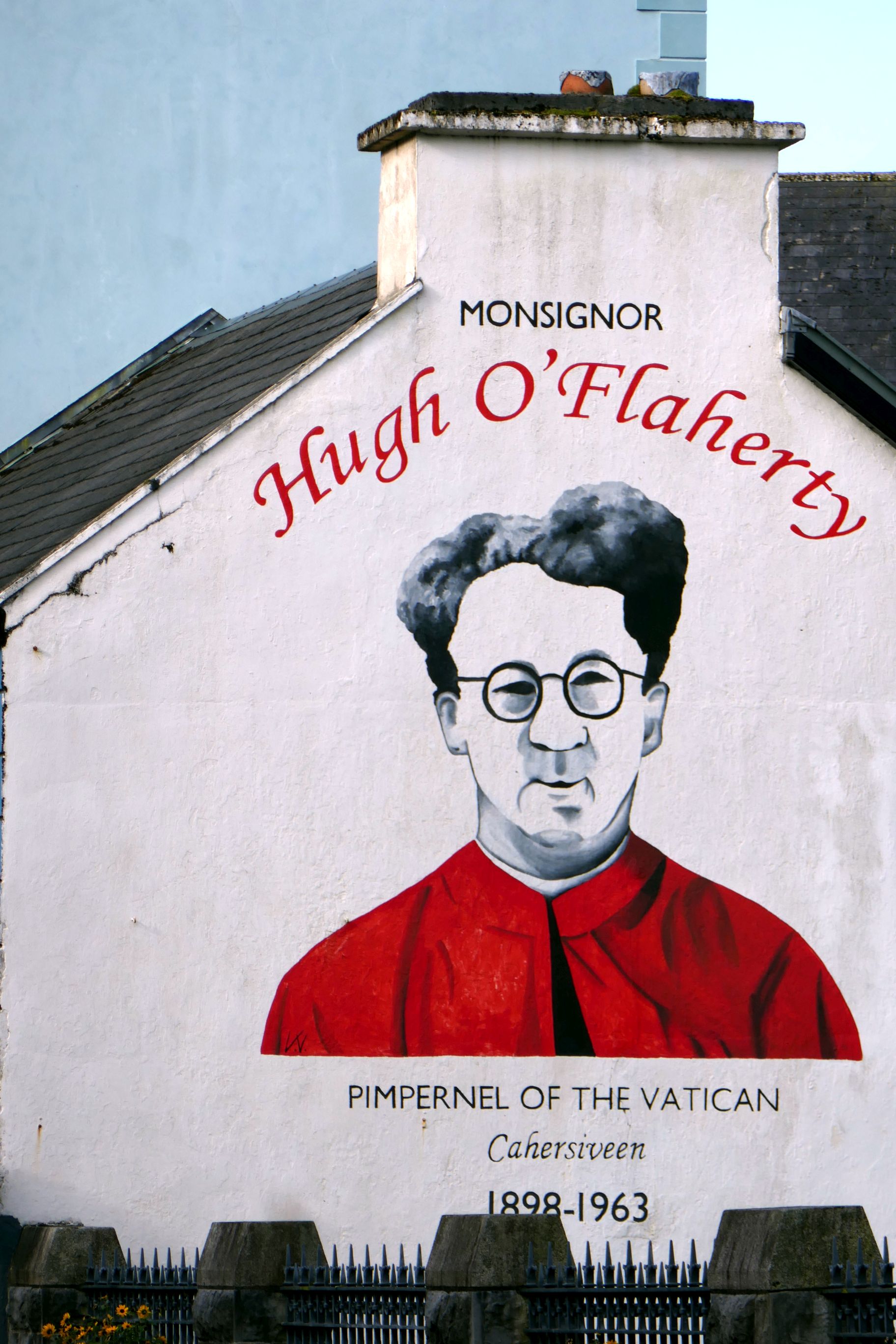
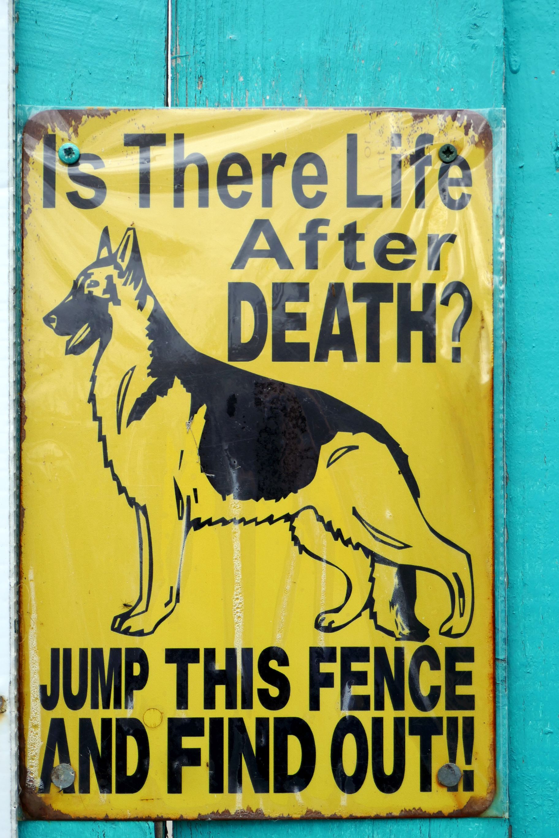
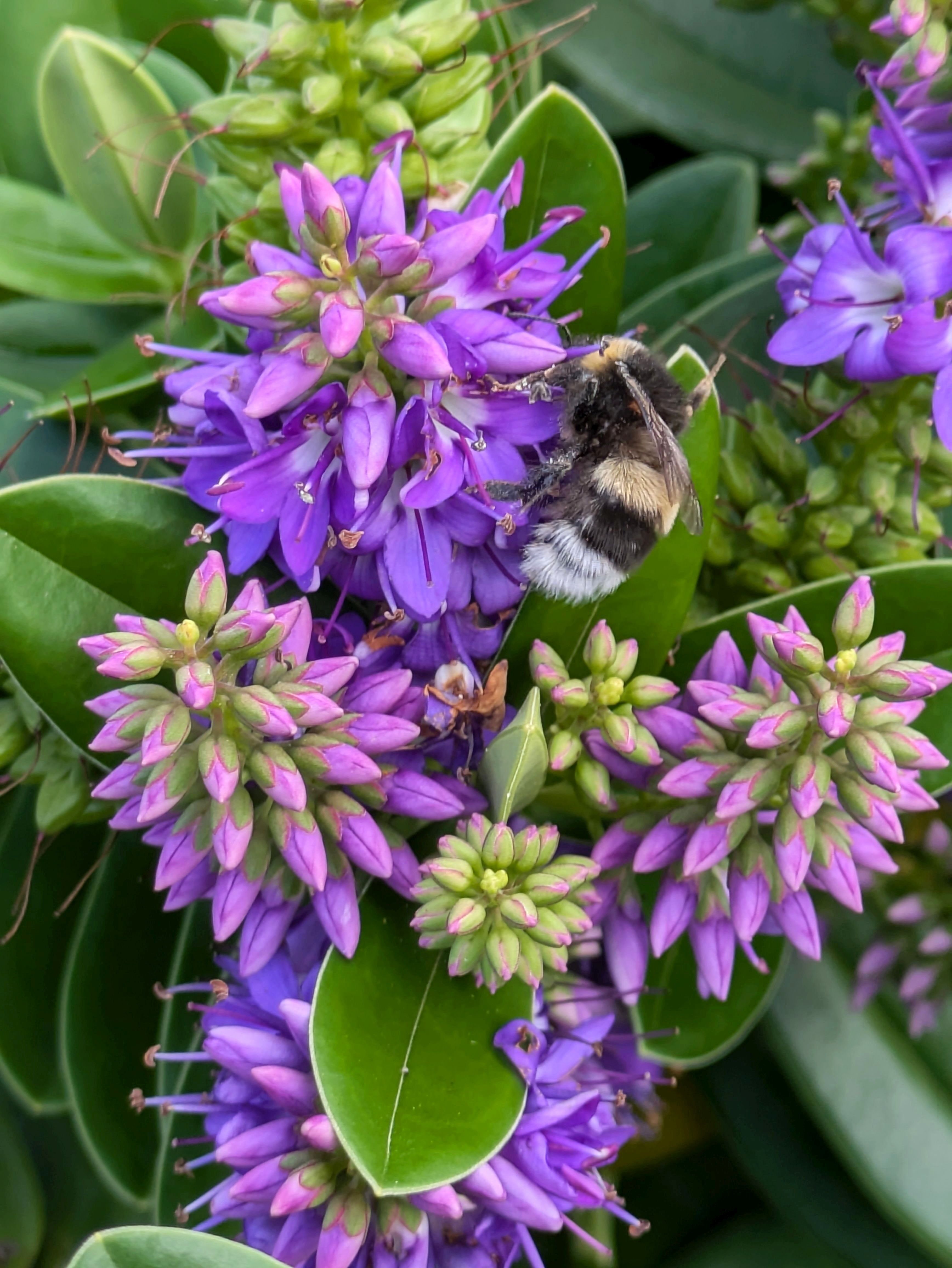
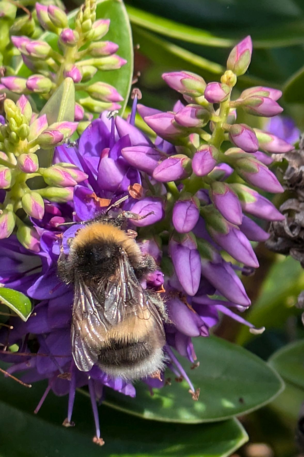
This man was making and selling St. Bridget’s Crosses (see below). Set one over your doorway or window, and it will protect your home from any harm (or so they say…)
Along the route are small villages, considered some of the most traditional in Ireland.
One of the villages we stopped at had the funniest name: Sneem. It’s small; there are less than 400 people who call Sneem home. We enjoyed walking around, though, and taking a few photos.
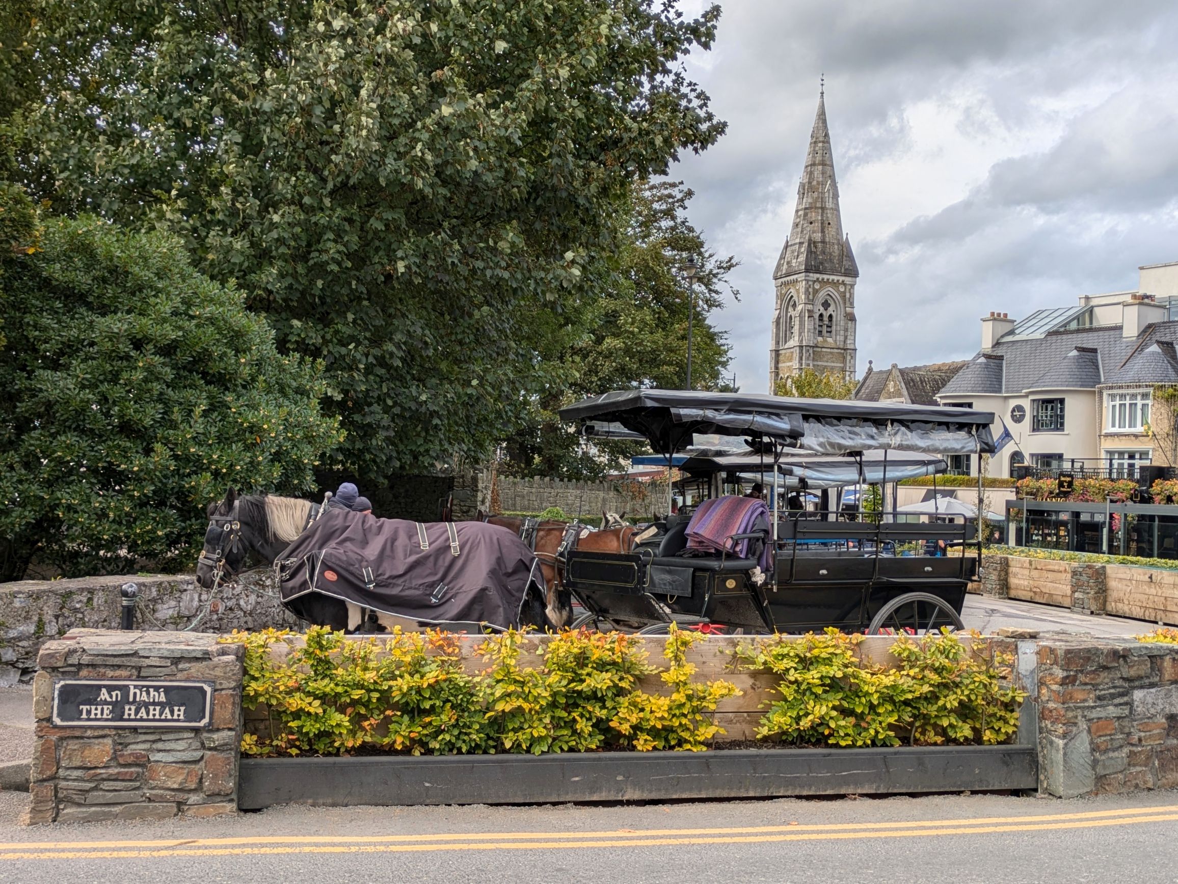
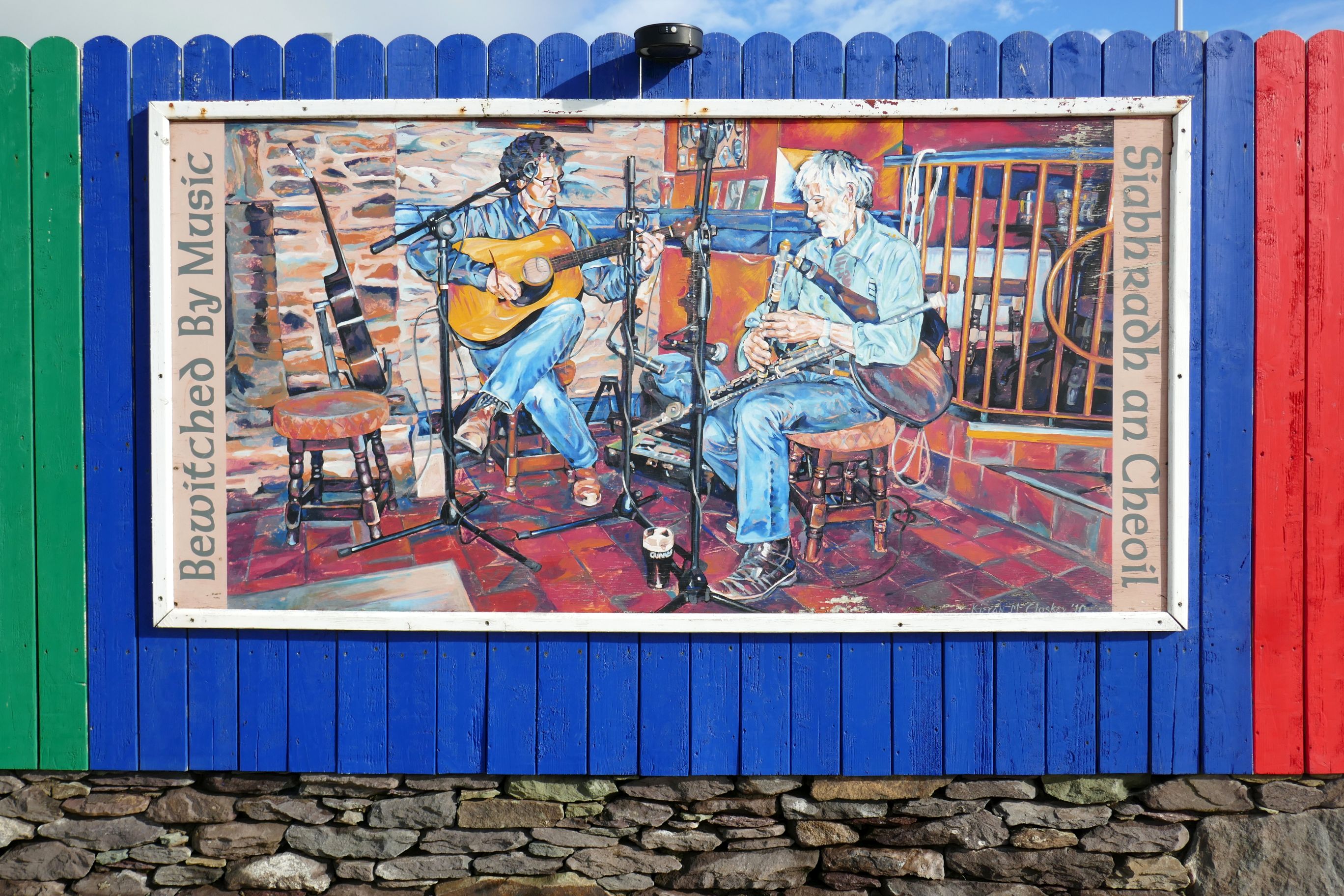
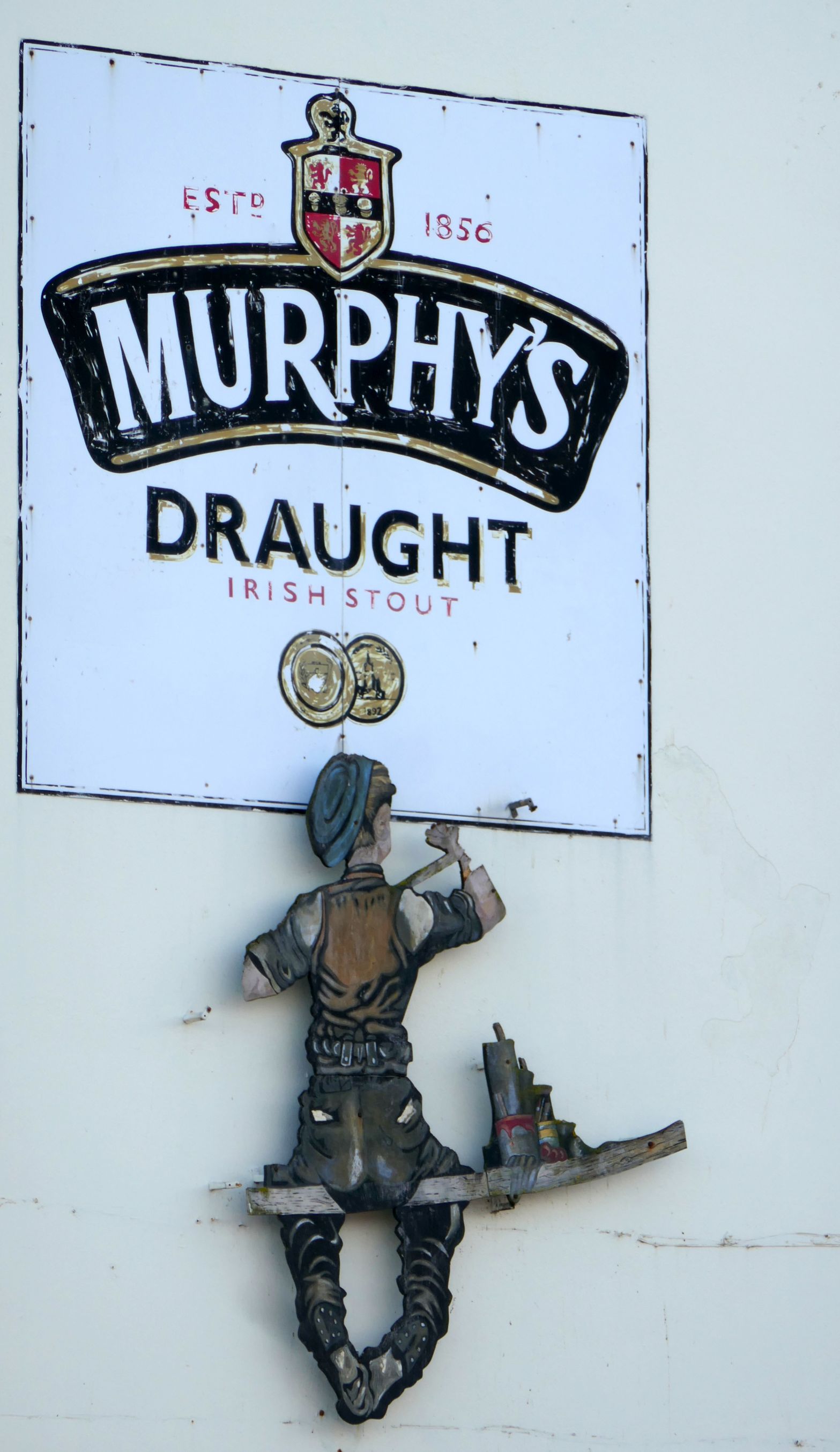
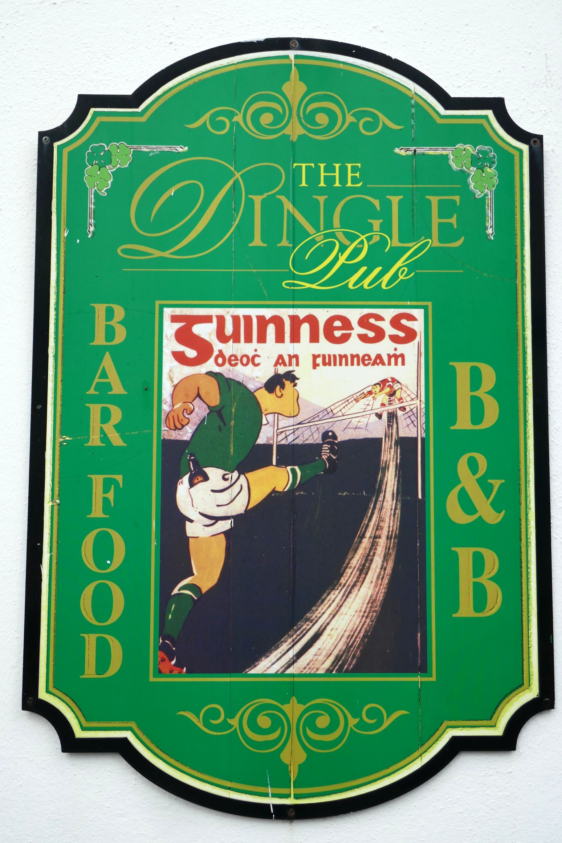
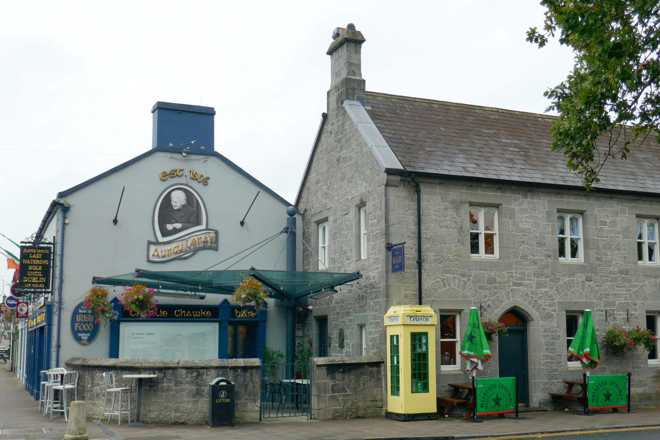
While exploring Killarney and the Ring of Kerry, we had a convenient base for three nights at the Killarney Towers Hotel. Located in the heart of charming Killarney, it was easy to pop in and out of the hotel and go for a stroll around town.
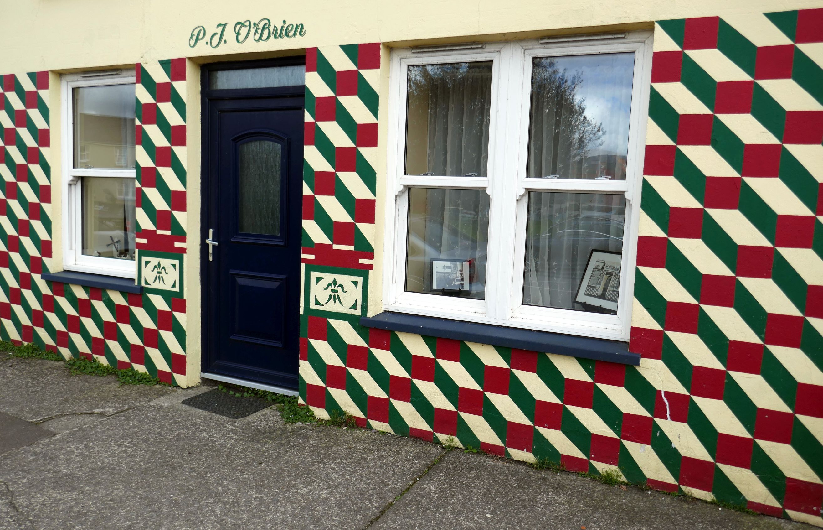
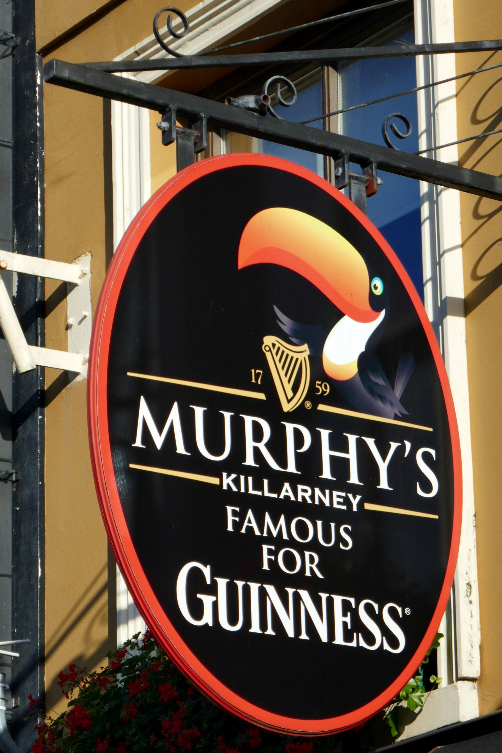
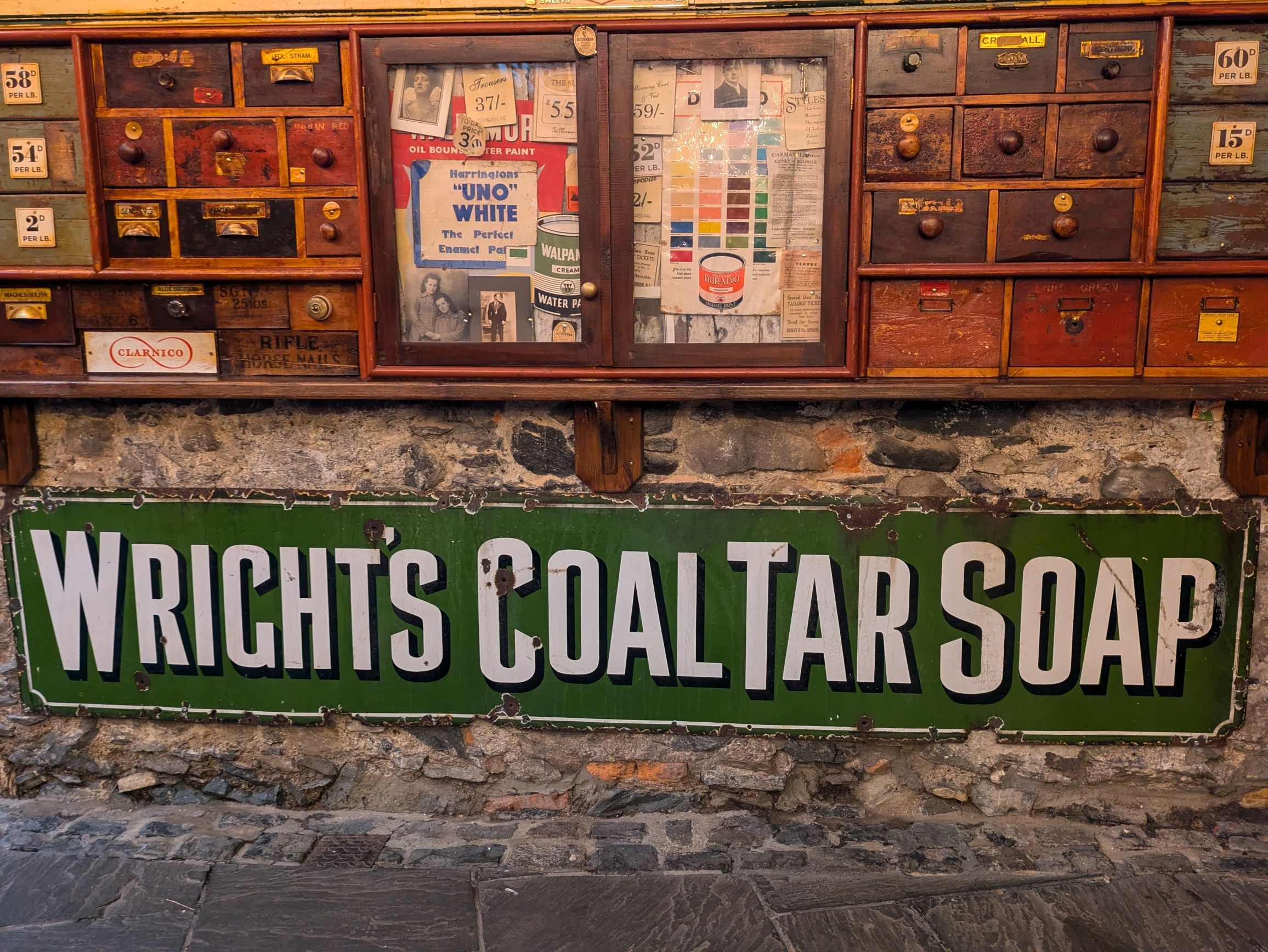
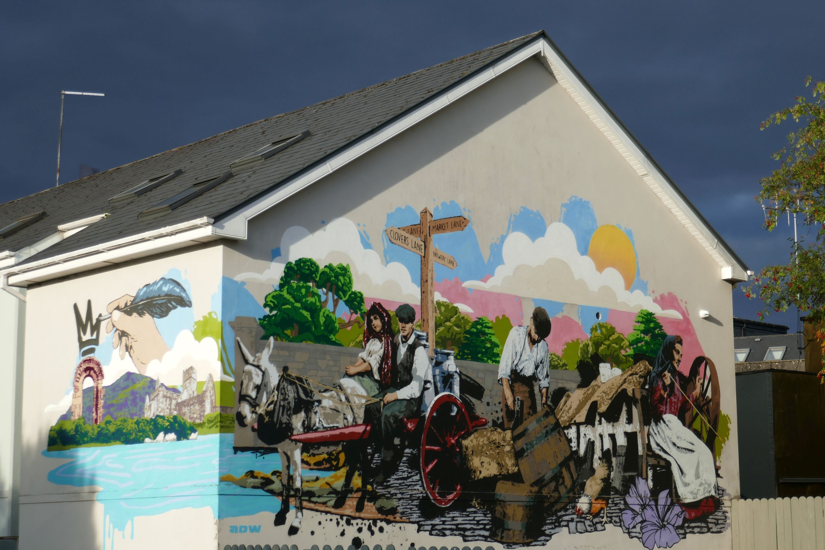
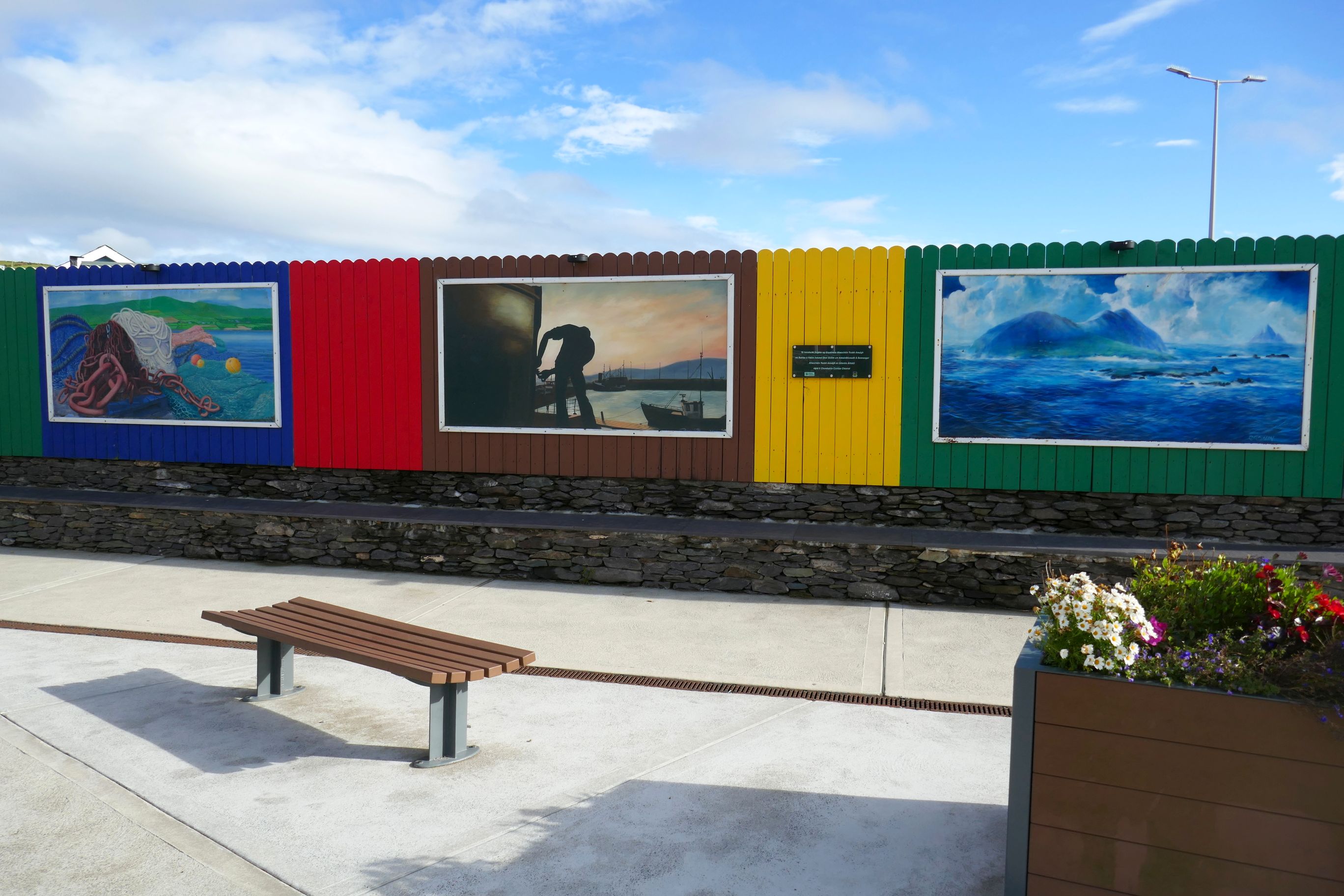
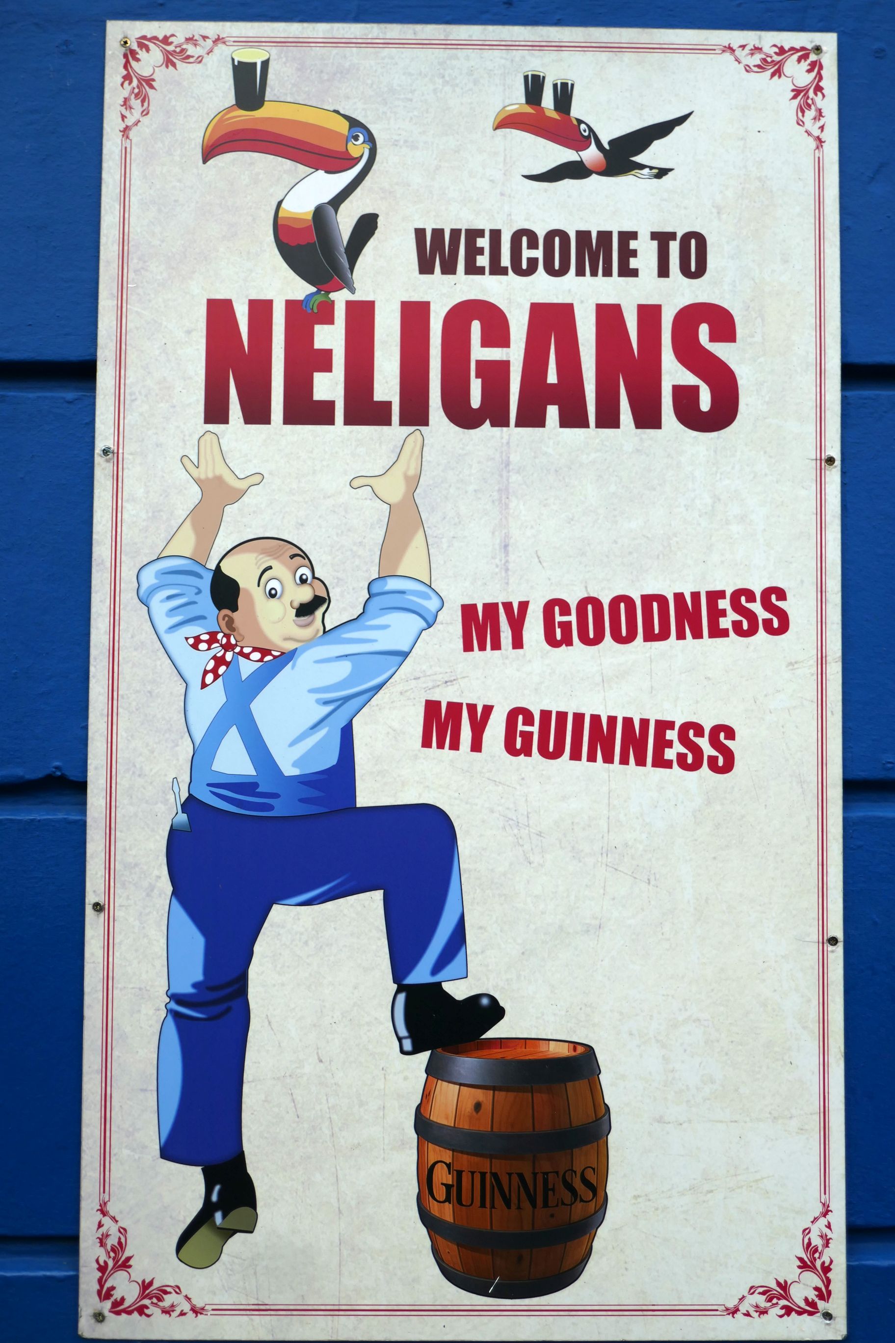
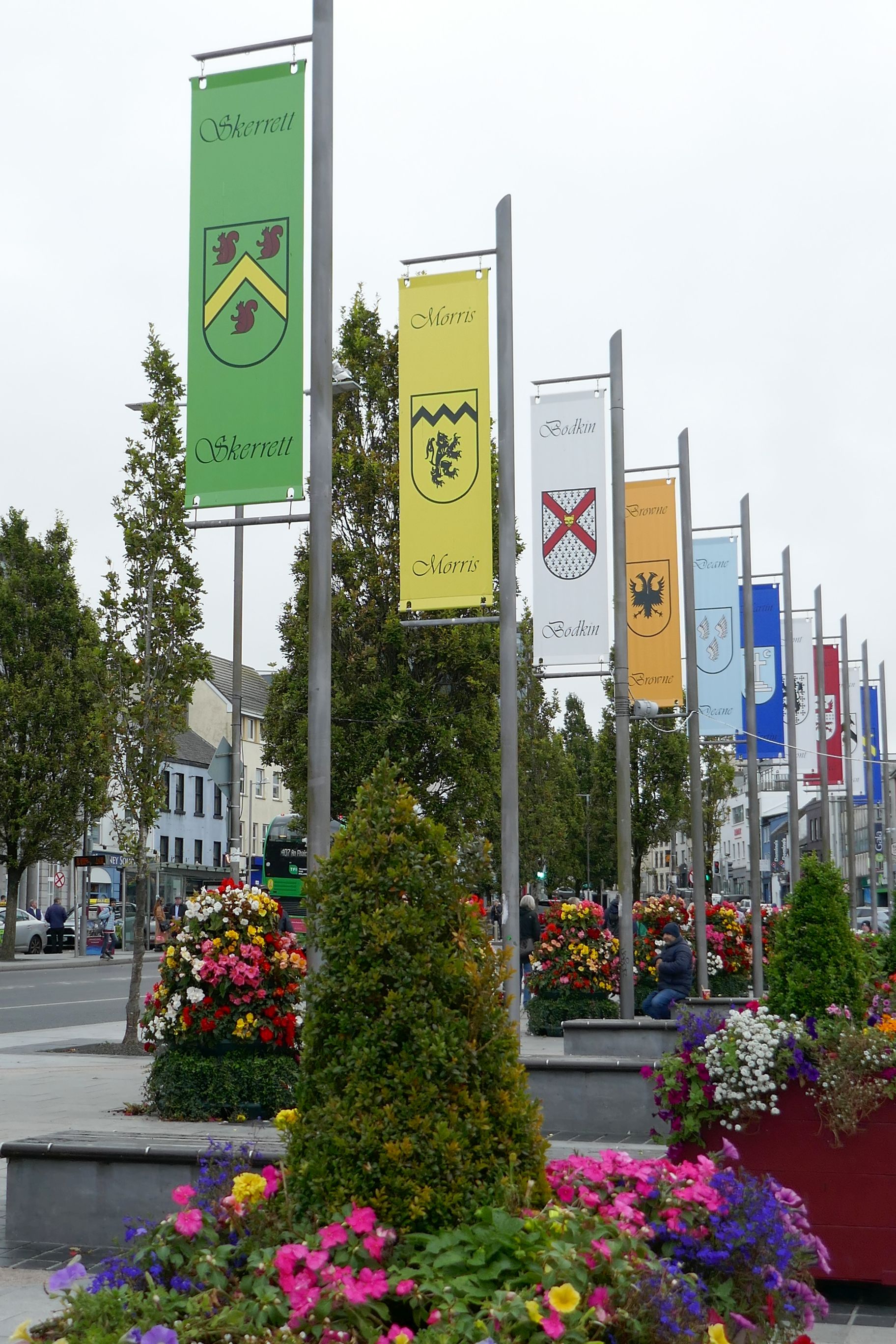
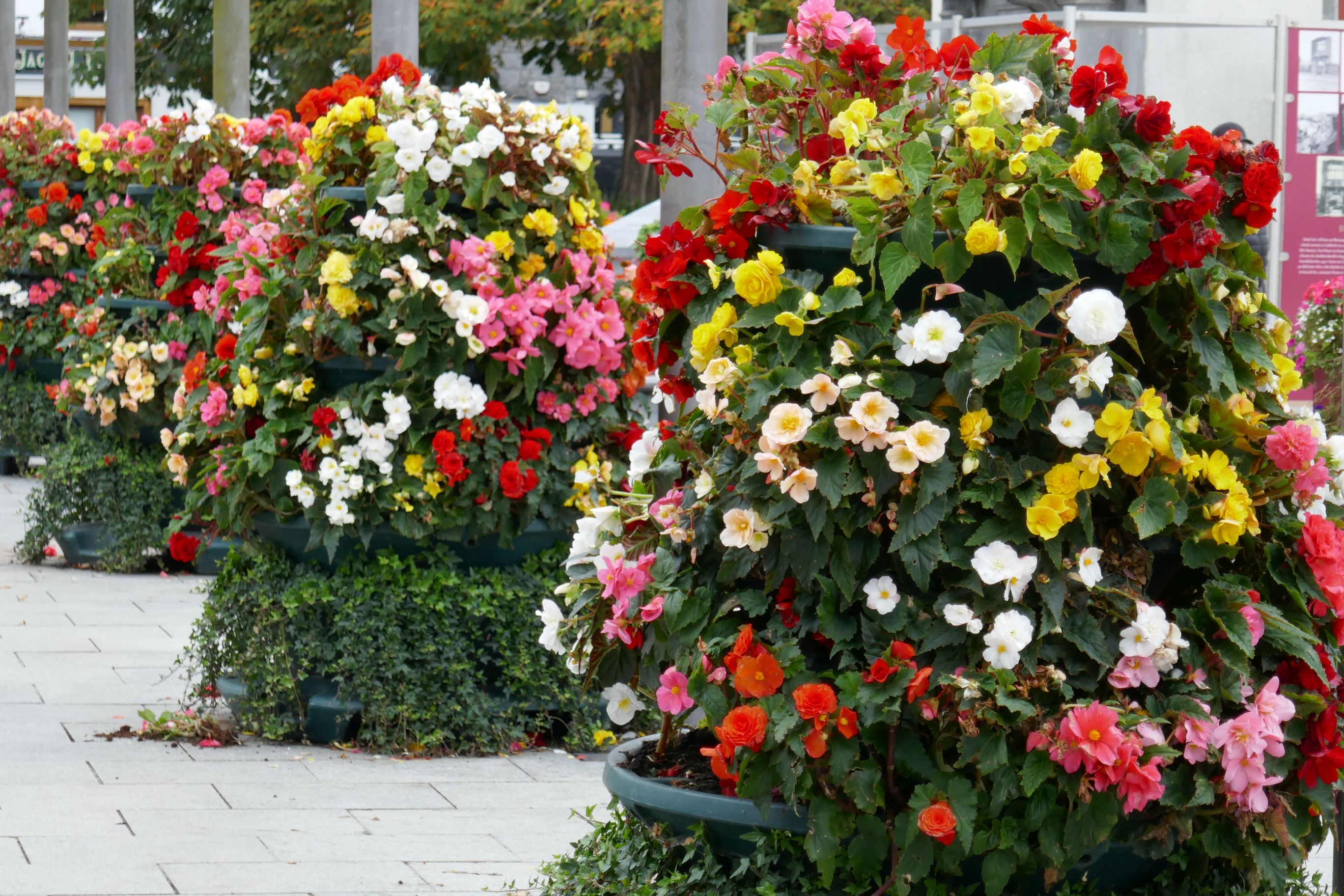
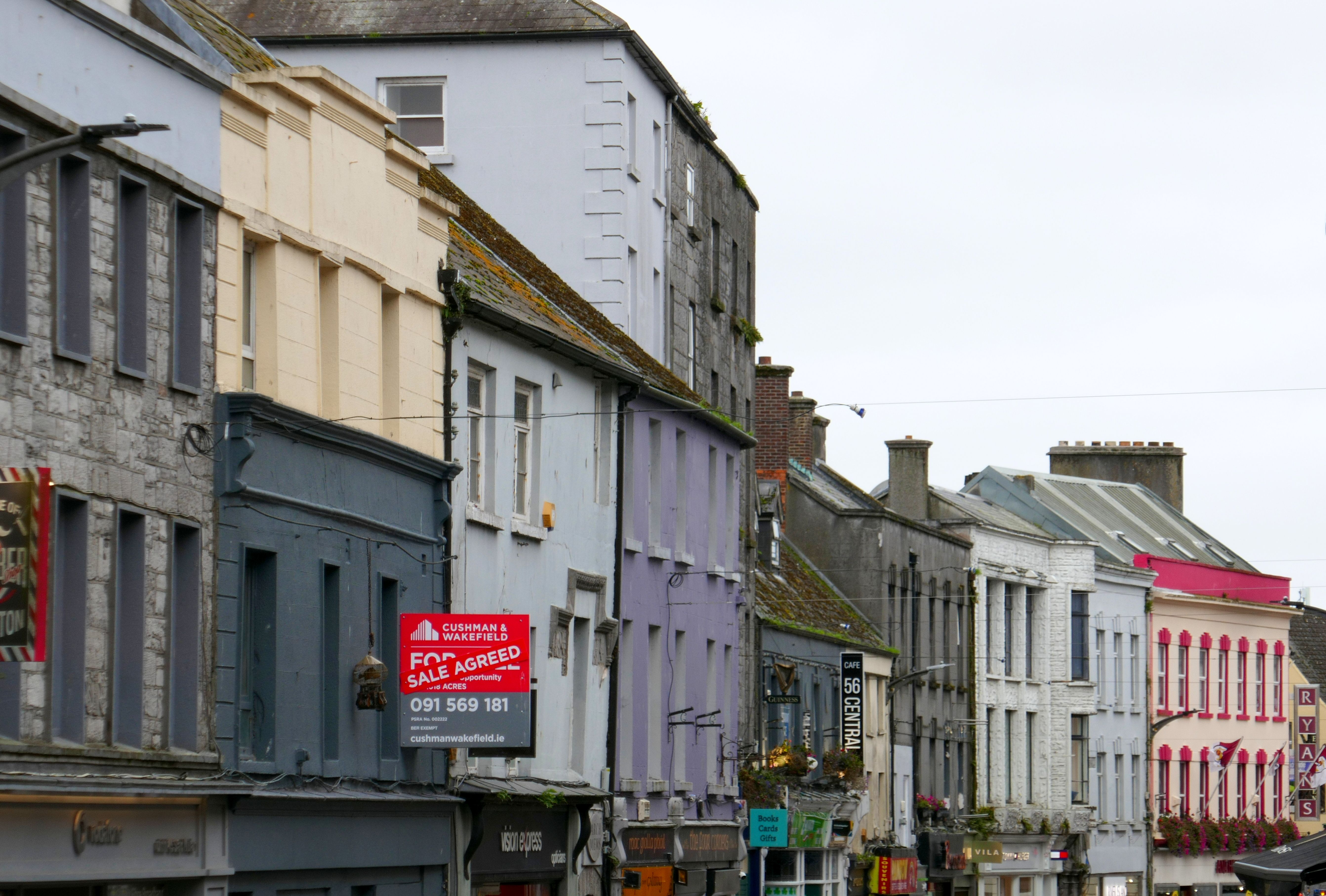
Killarney, a town of 14,412 people in southwest Ireland, is located on the popular Ring of Kerry (the subject of my next post), so it is a tourist hub. Still, even though there are some tourist gift shops in the town center, they are quite nice to walk through, the town is very pleasant, and it was an enjoyable base for us. As a matter of fact, Killarney is so pleasant that it was named Ireland’s tidiest town and the cleanest town in the country by Irish Business Against Litter, in 2011.
(For all photos, click on the image for a full screen view.)
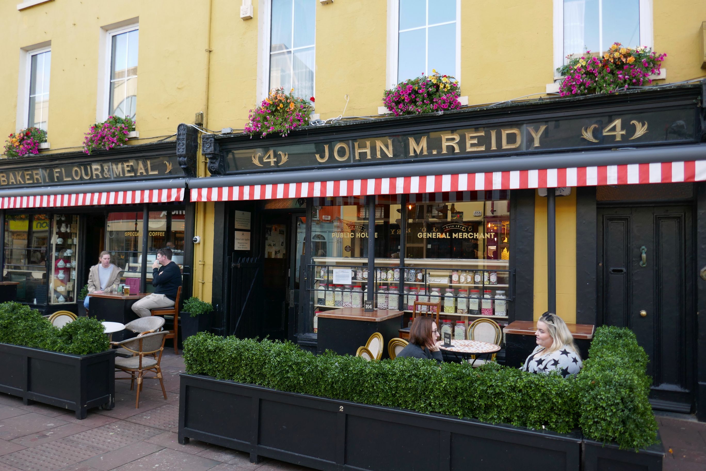
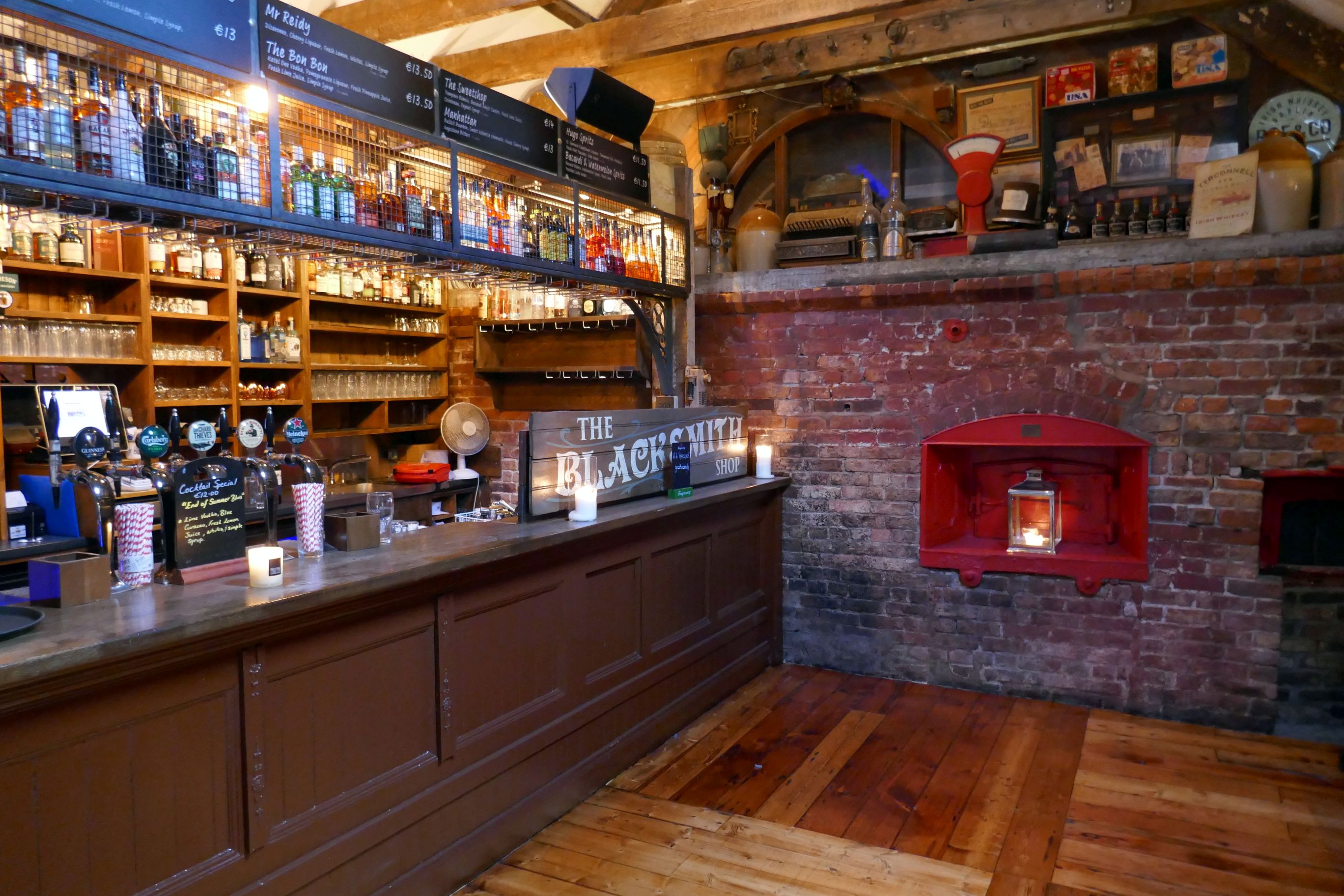
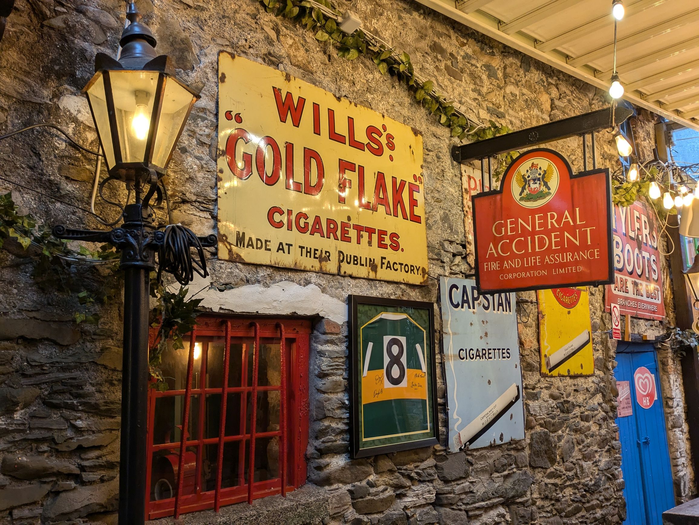
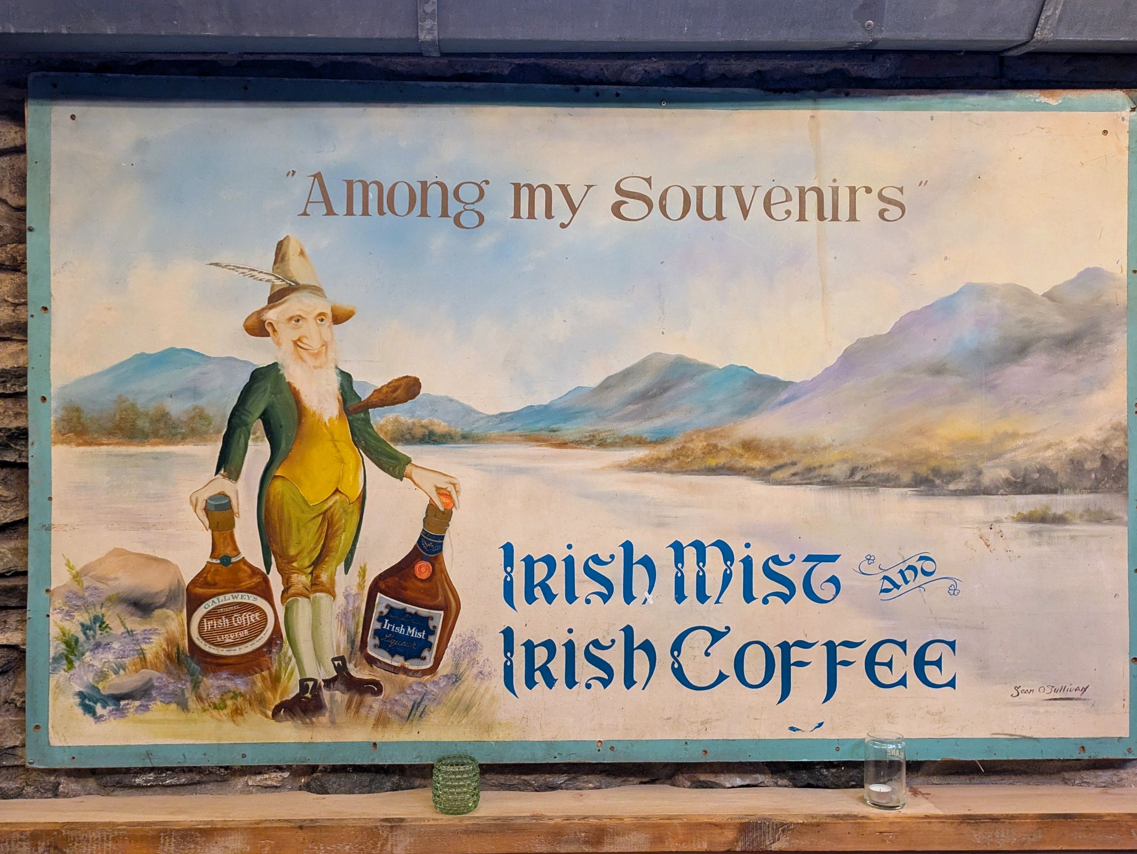
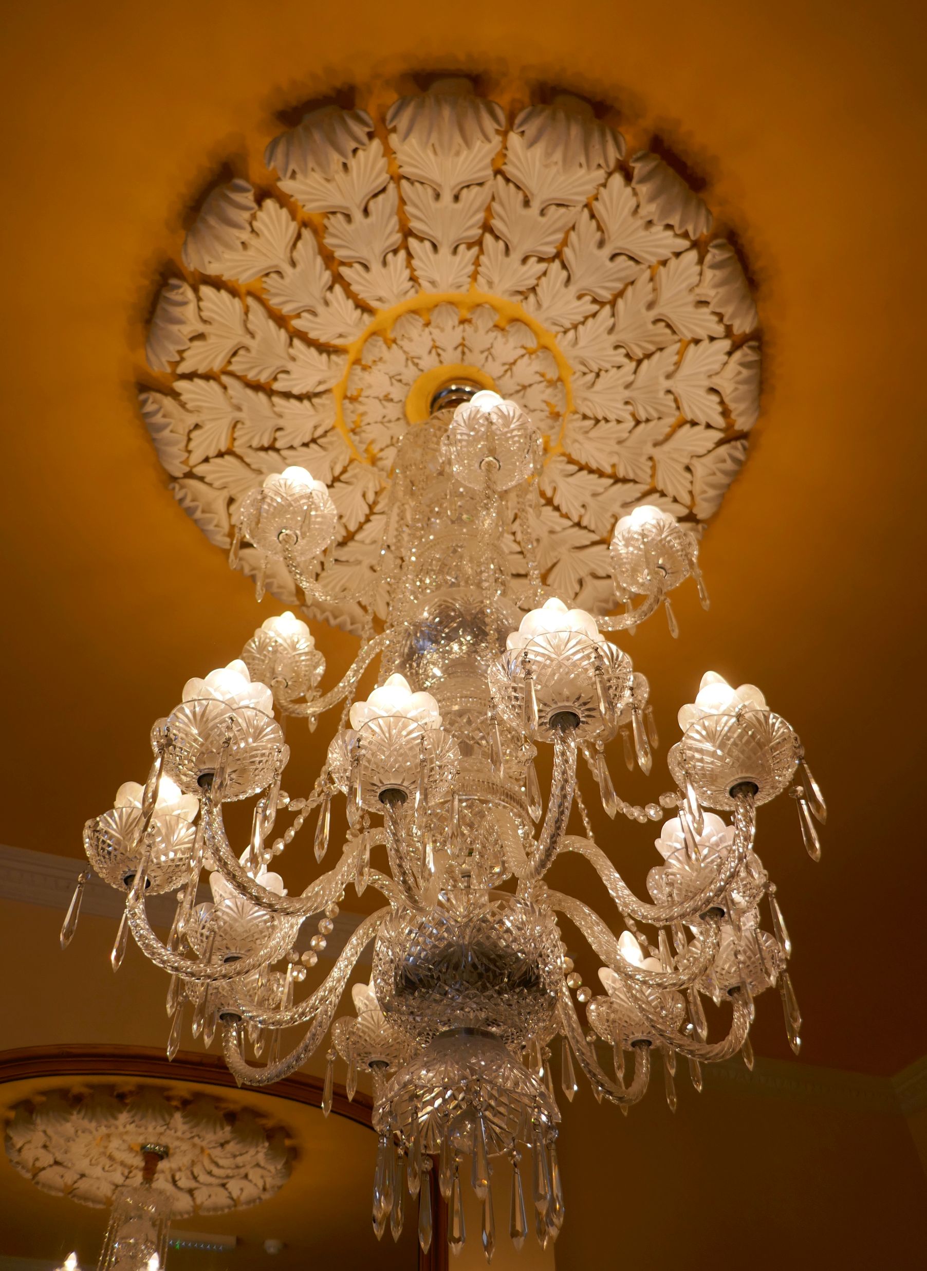
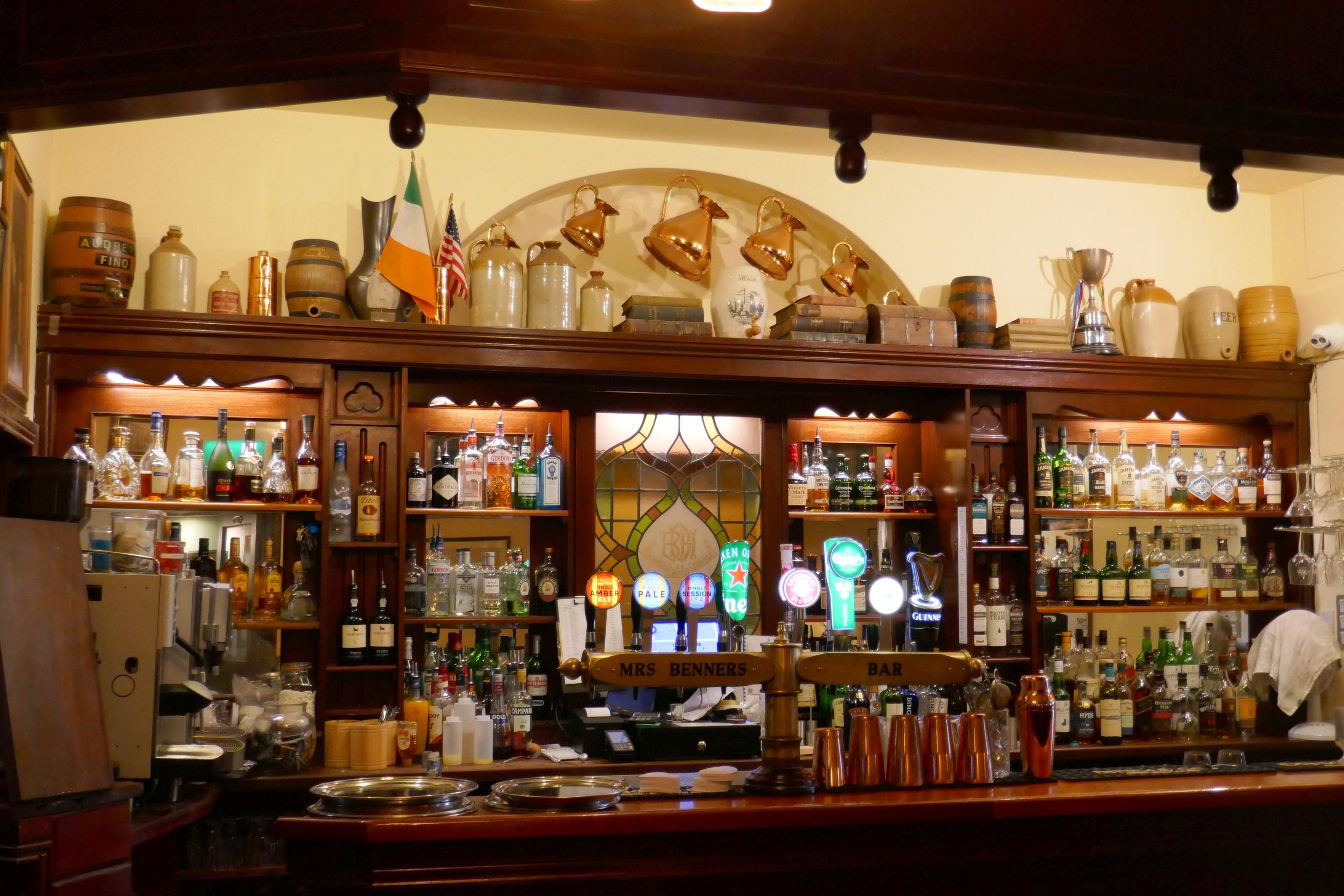
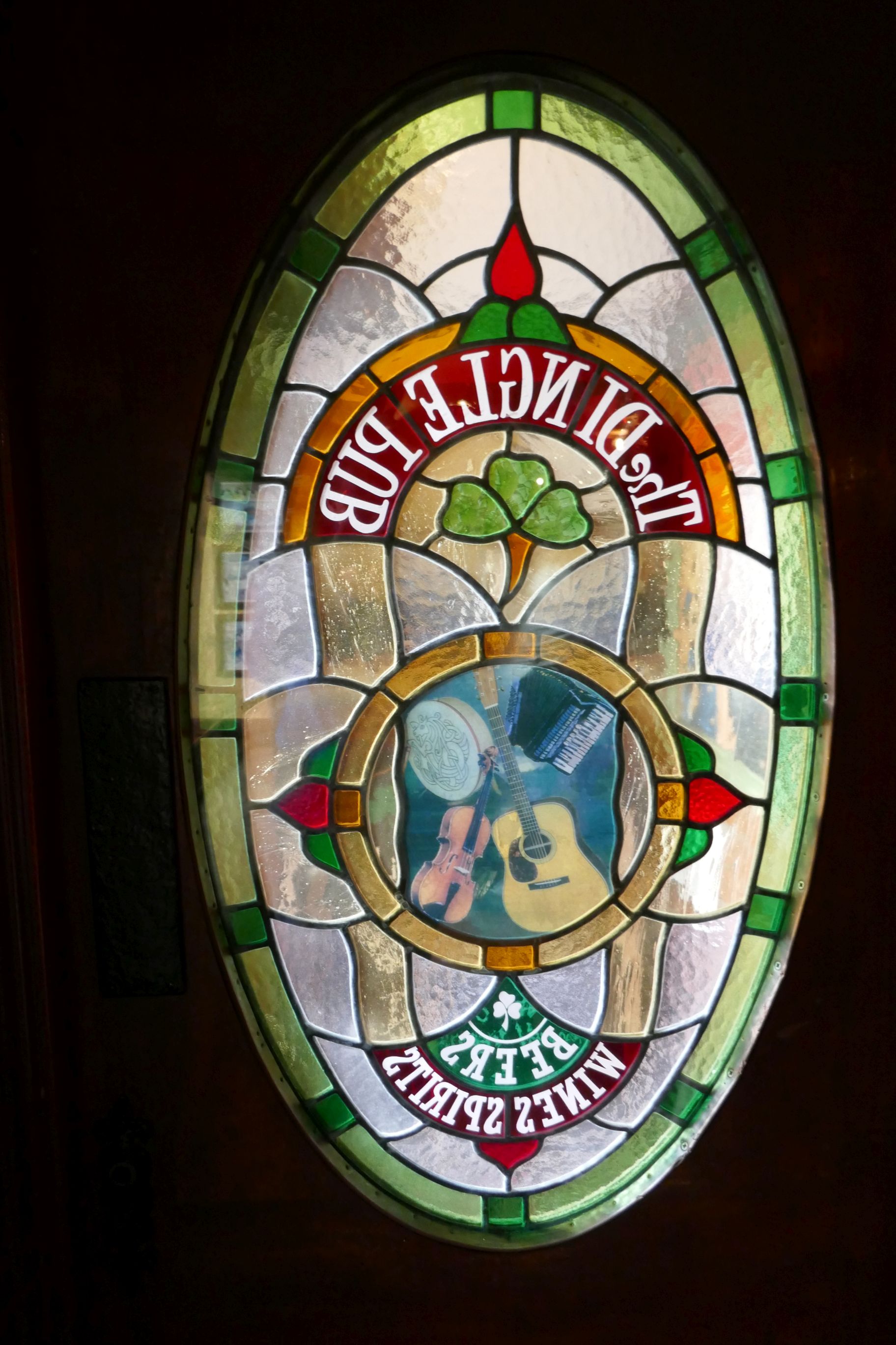
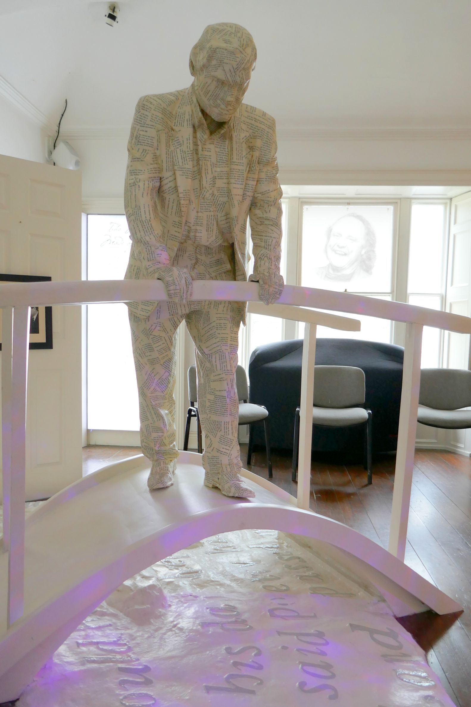
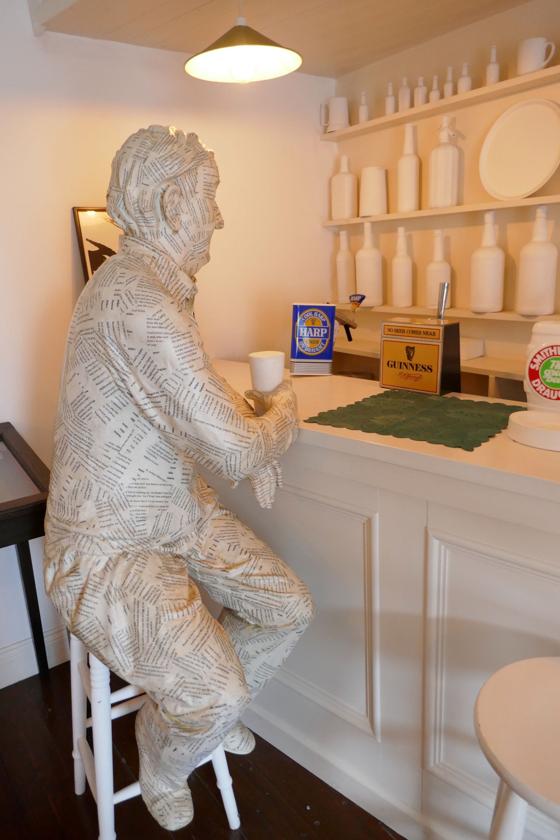
This bar and restaurant was something to see inside! There were several different rooms, each full of memorabilia and loaded with charm. We wandered throughout the entire meandering place, taking a lot of photos along the way. The staff was very nice and welcomed us! The next seven photos are of the interior and back patio.
Coming up next: IRISH ADVENTURE #23: THE RUGGED RING OF KERRY
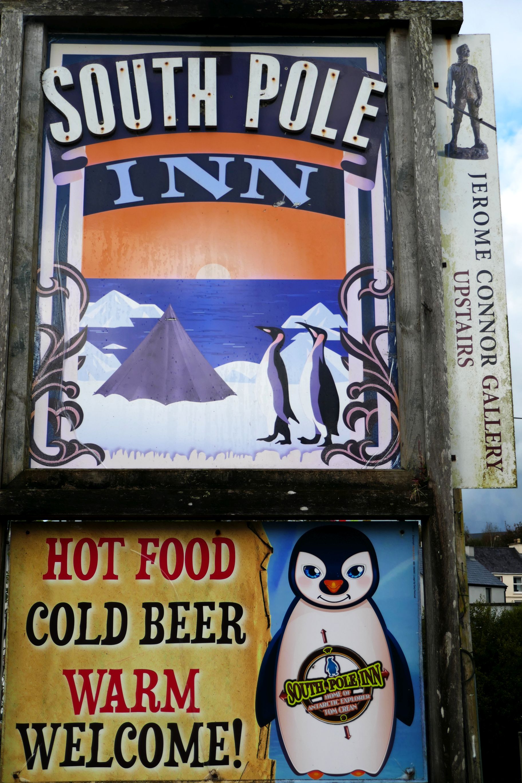
On our way to Inch Beach, we made a stop between Tralee and Dingle, at the Tom Crean Memorial Garden. Here, we learned about this adventurous Irish Antarctic explorer who died in 1938 at the age of 61. He had made three expeditions to Antarctica: 1901 – 1904, 1910 – 1913, and 1914 – 1917.
Following his last expedition, Crean returned to his home village of Anascaulin, on the Dingle Peninsula, and opened a pub, The South Pole Inn. The pub, located across the street from the memorial garden, is still in operation by different owners and is filled with Tom Crean memorabilia. It was closed while we were there, but we did enjoy a lovely walk along the river next to the pub.
(For all photos, click on the image for a full screen view.)
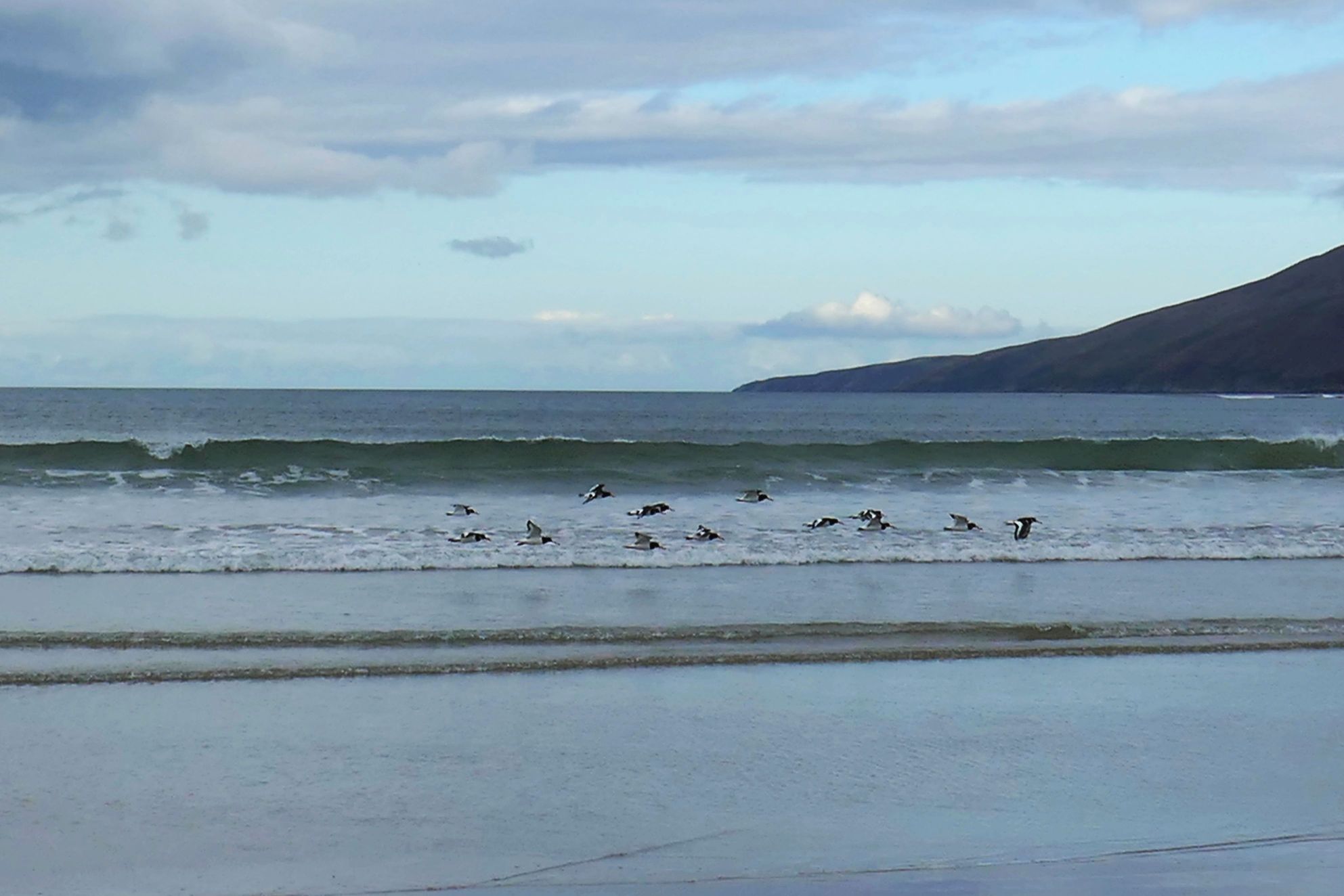
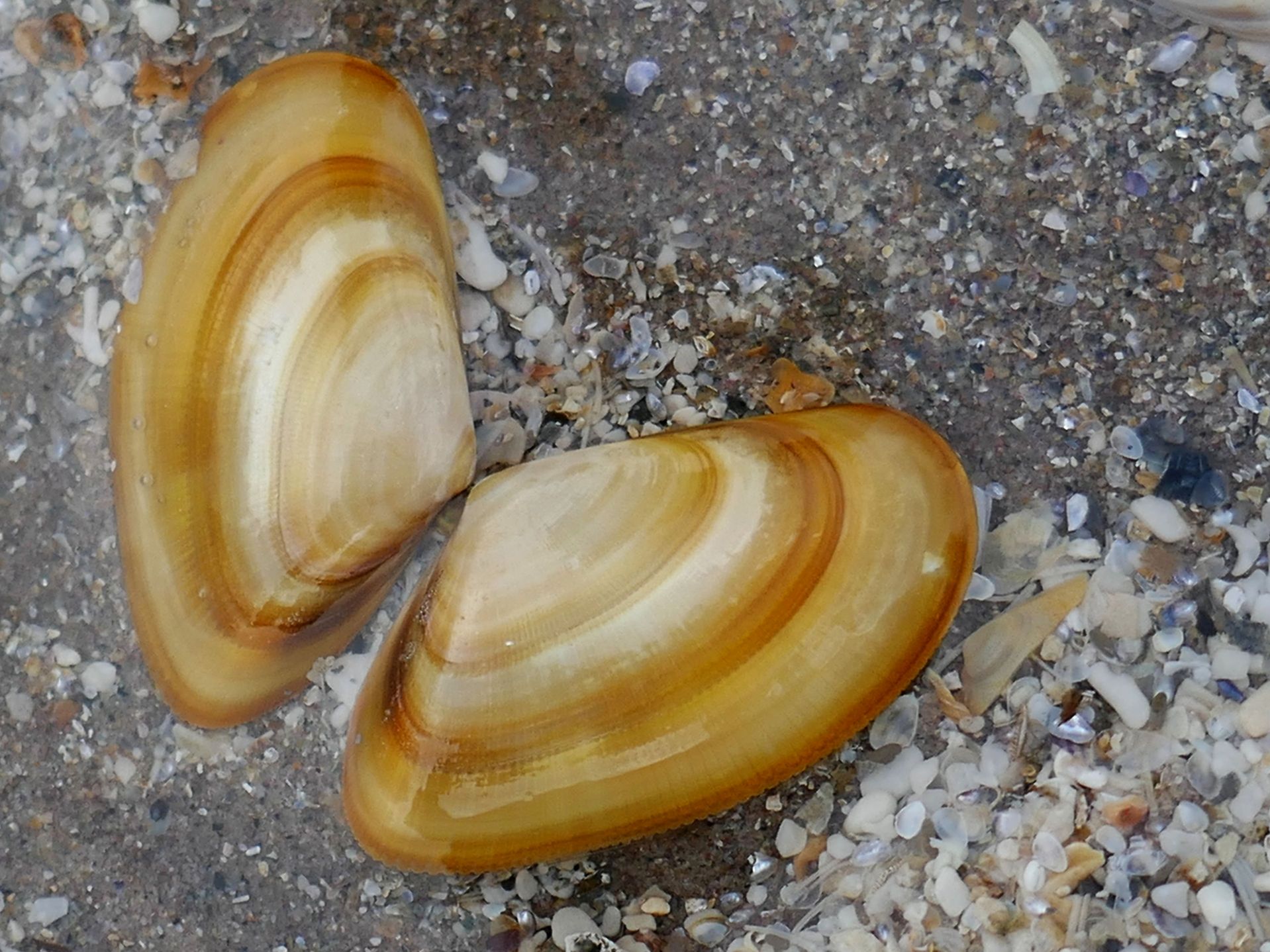
Inch Beach, a four-mile-long wide, sandy beach, was our next stop. Home to one of Ireland’s most popular surf schools, it is a terrific beach for surfing, walking, bird watching, and collecting seashells. And, the day we were there, it was awesome for photography!
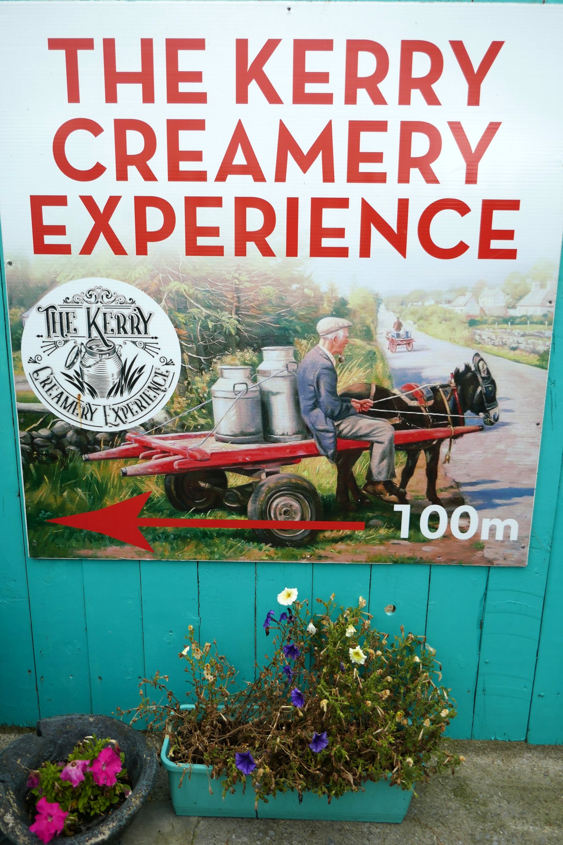
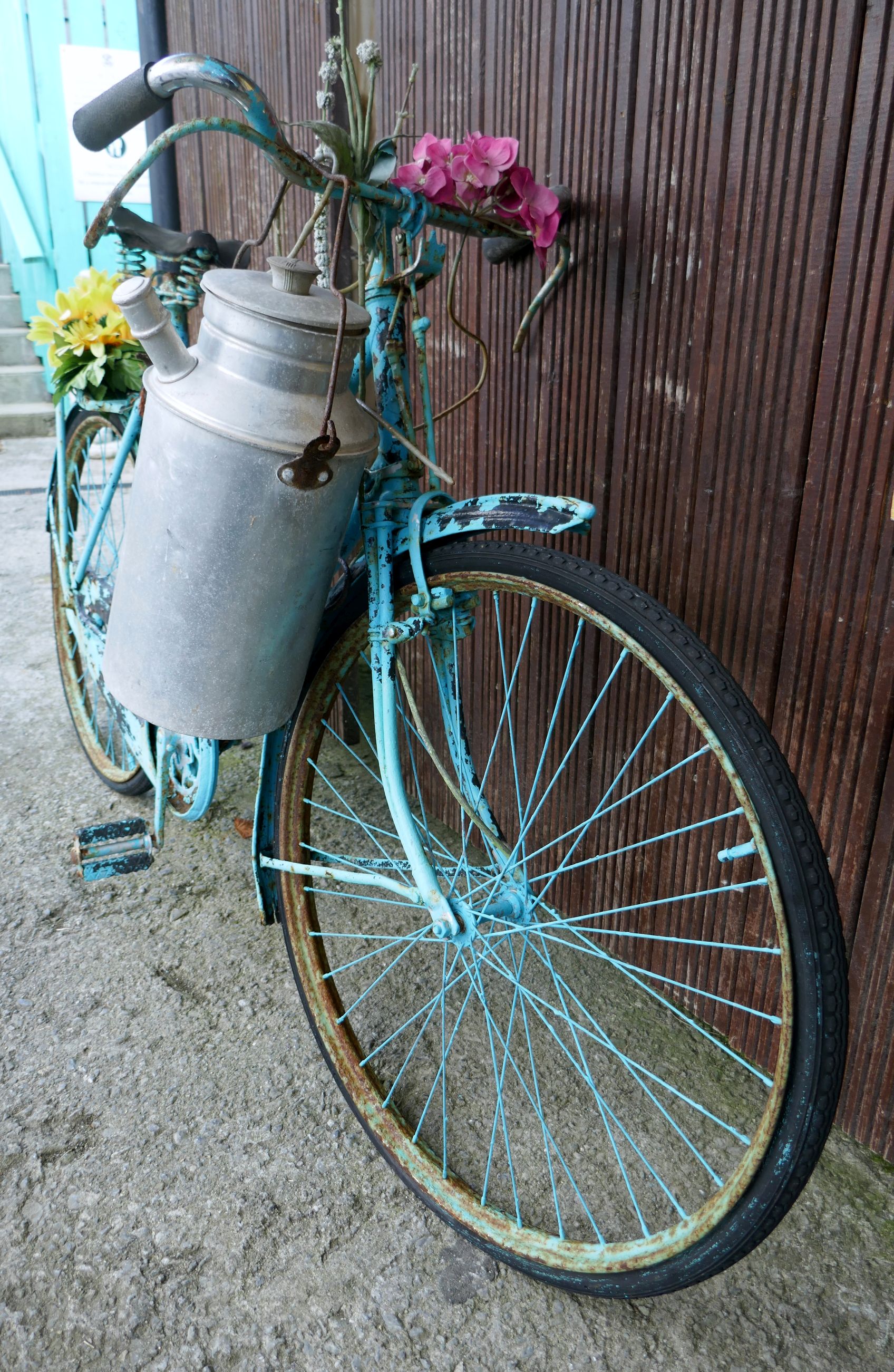
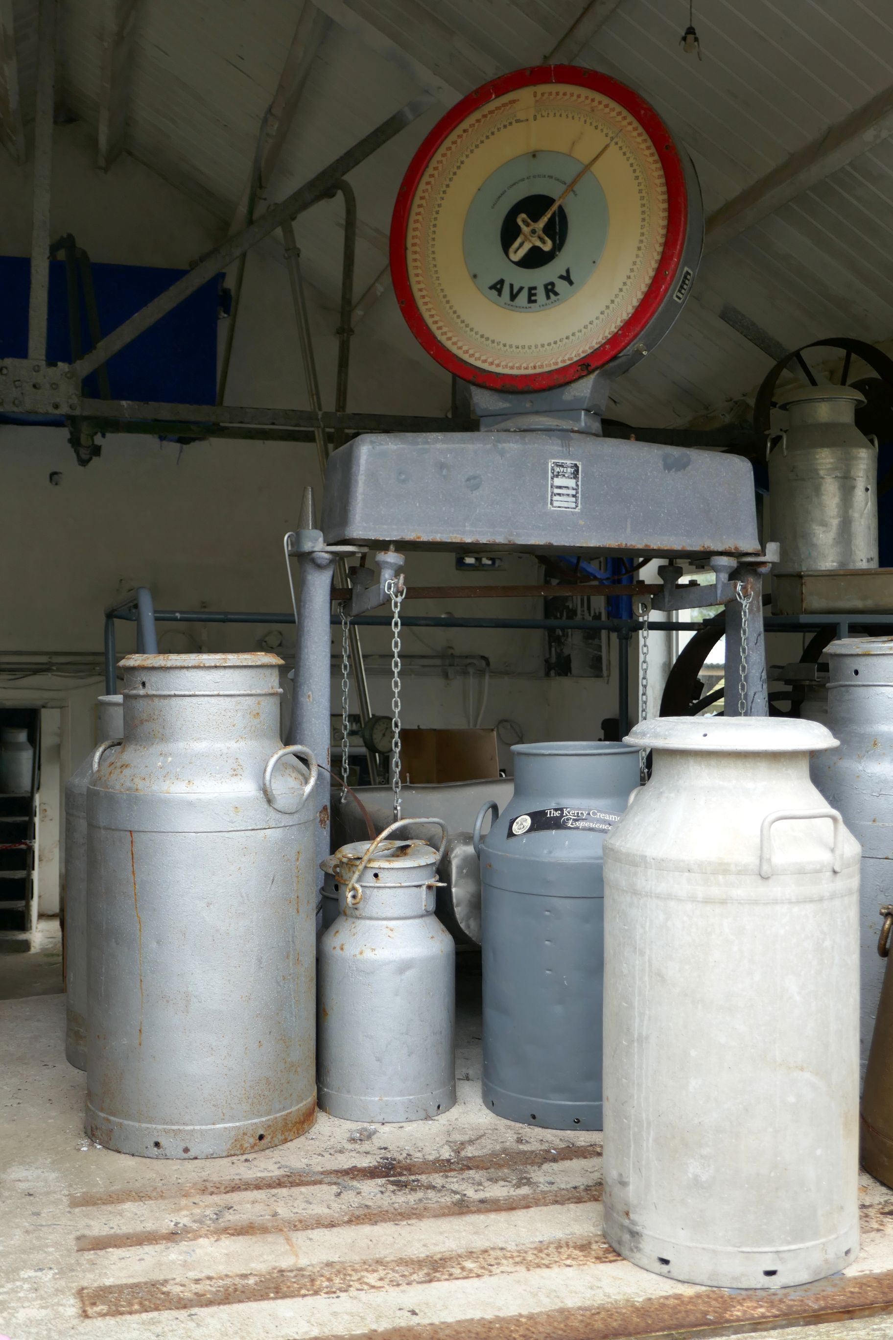
Next, we visited the Kerry Creamery for a guided tour and lunch. It was interesting to learn how creameries operated years ago, before the rise of modern technology in Ireland.
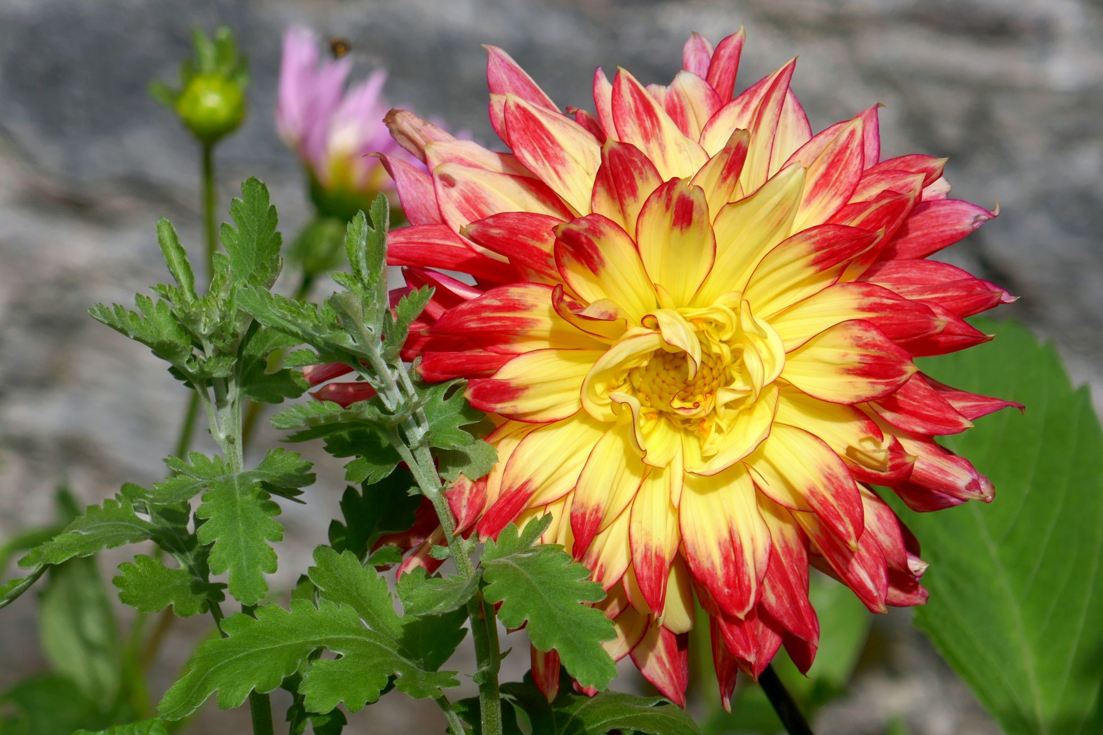
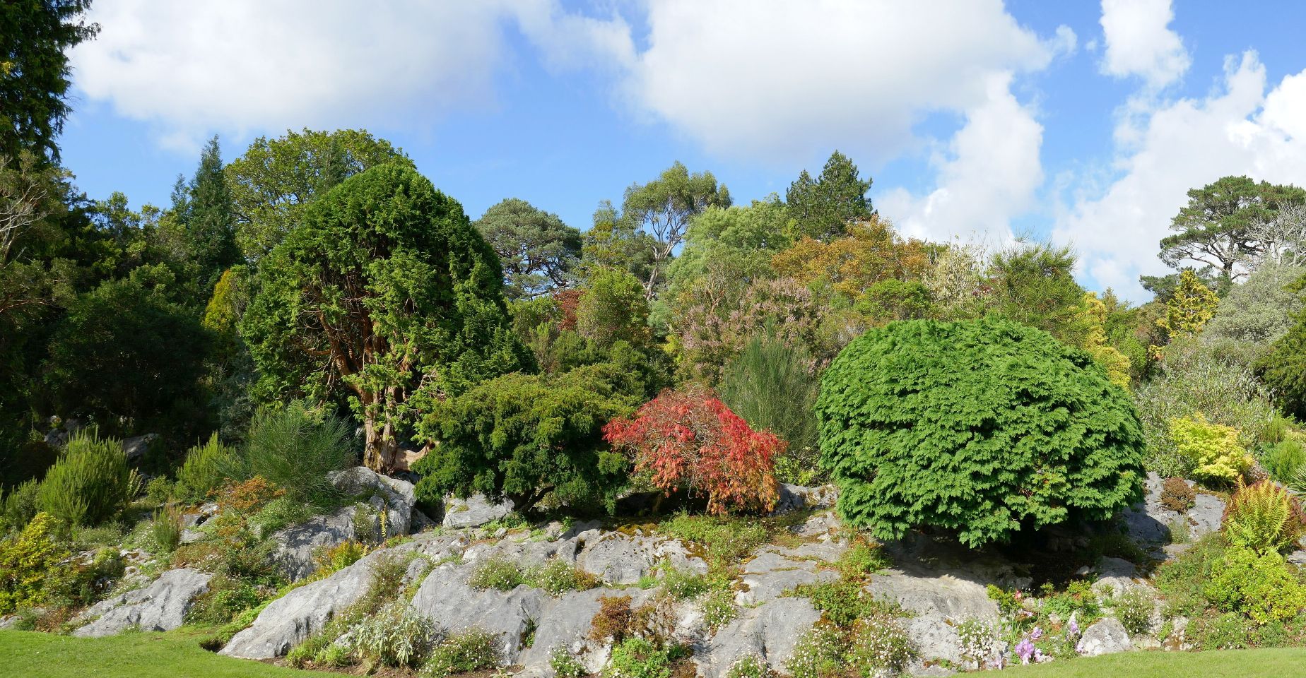
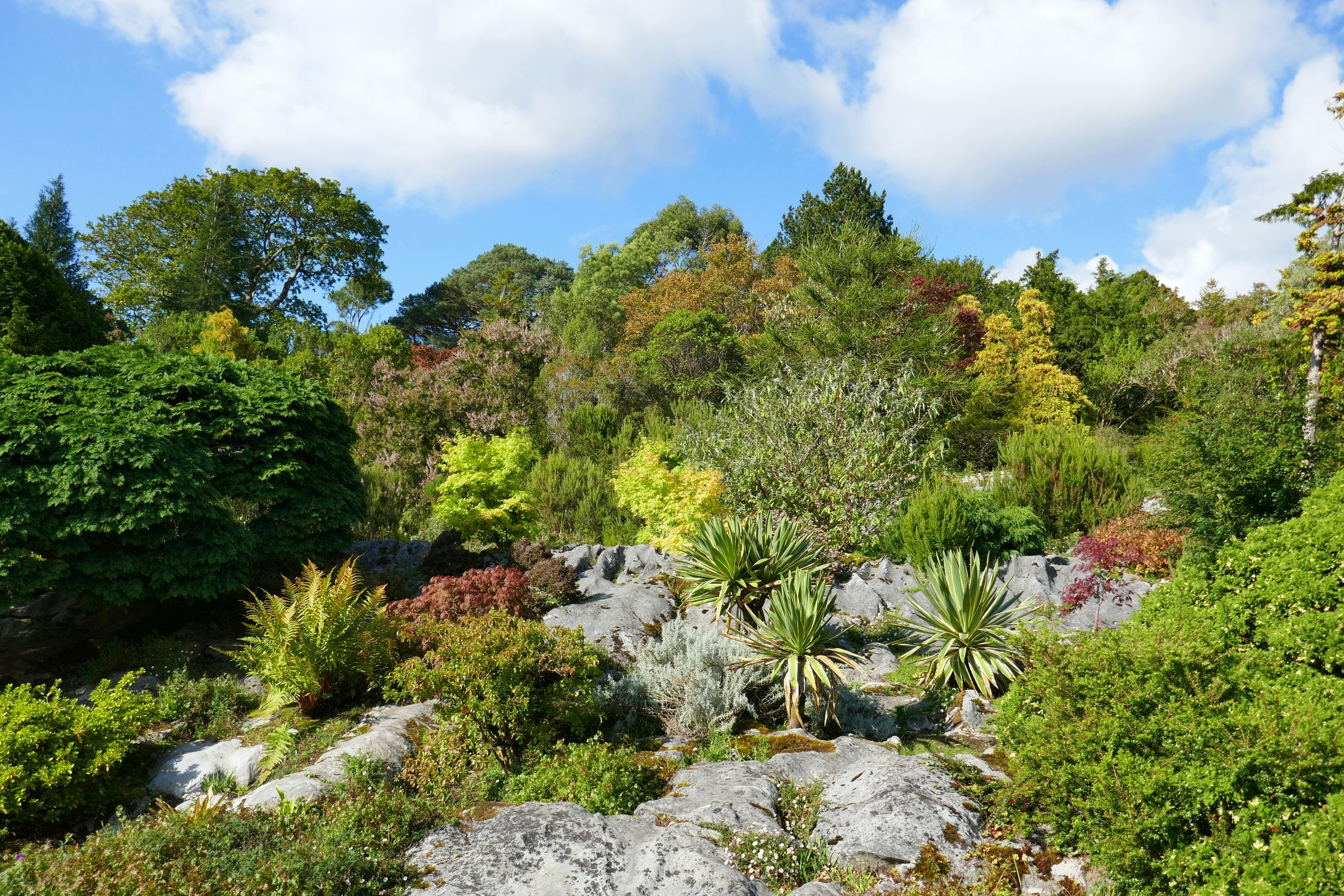
Built in 1843, the house was given to Ireland in 1932, the first National Park in the Republic of Ireland. The gardens were so beautiful, though, we opted to spend our time outdoors during our visit, rather than touring the house.
The backside of the house.
The remainder of the afternoon and evening was spent exploring the charming town center of Killarney, the subject of my next post: IRISH ADVENTURE #22: CHARMING KILLARNEY
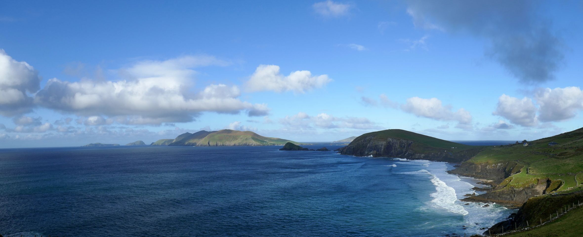
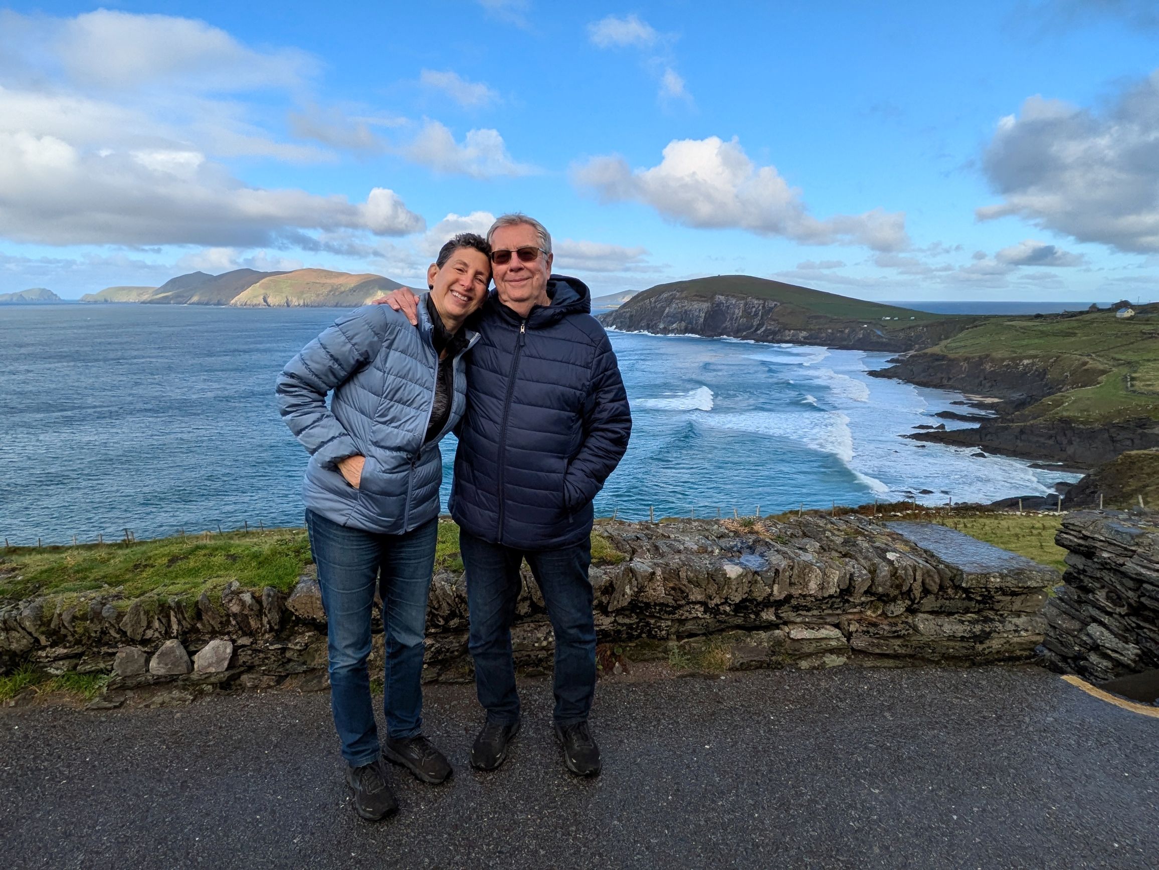
While researching Ireland, the Dingle Peninsula and Ring of Kerry kept coming up as a favorite destination for natural beauty and photography; so, it was a no-brainer to book the post-trip extension. The town of Dingle, which I wrote about in my previous post, alone made it worthwhile, but this day on the Dingle Peninsula was spectacular!
The morning weather was quite dynamic, beginning with a tumultuous sky that threatened to ruin our day. Although it rained for a short period, it was drop-dead gorgeous for the remainder of the day.
(For all photos, click on the image for a full screen view.)
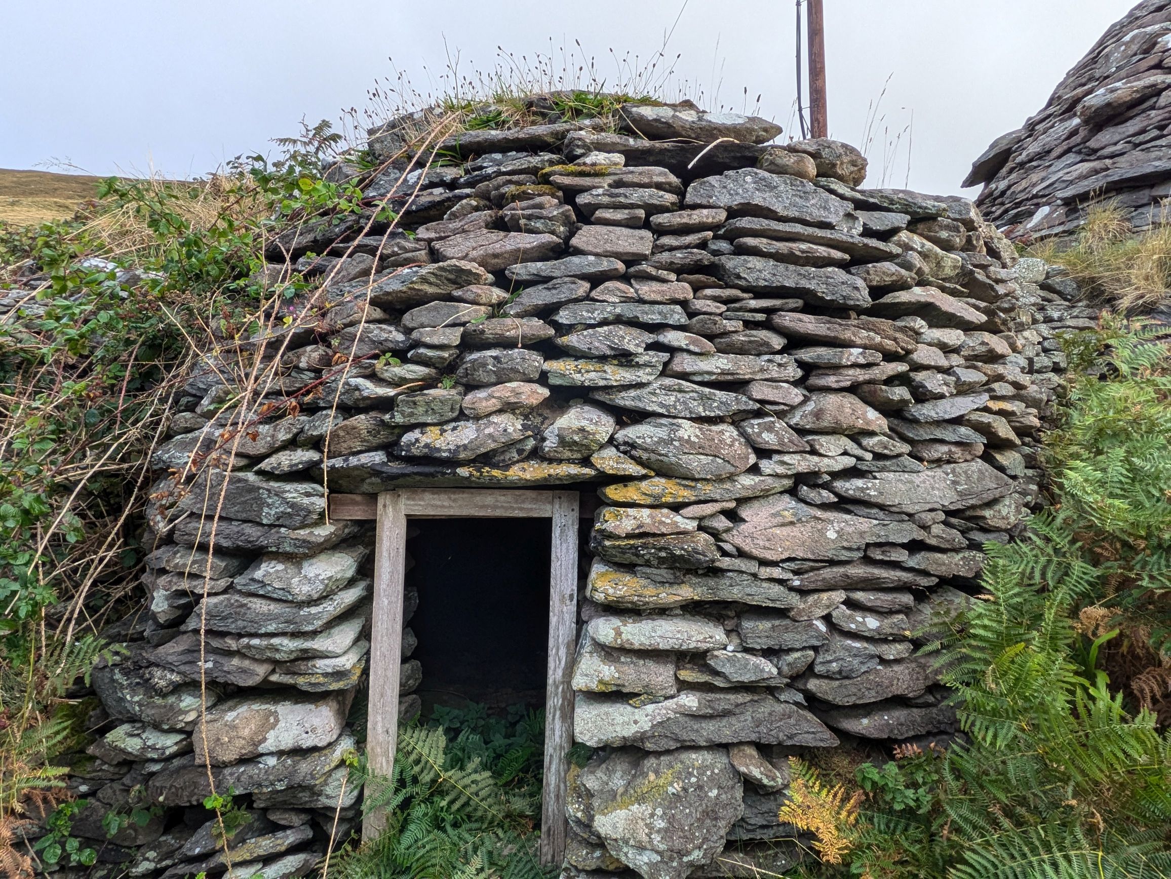
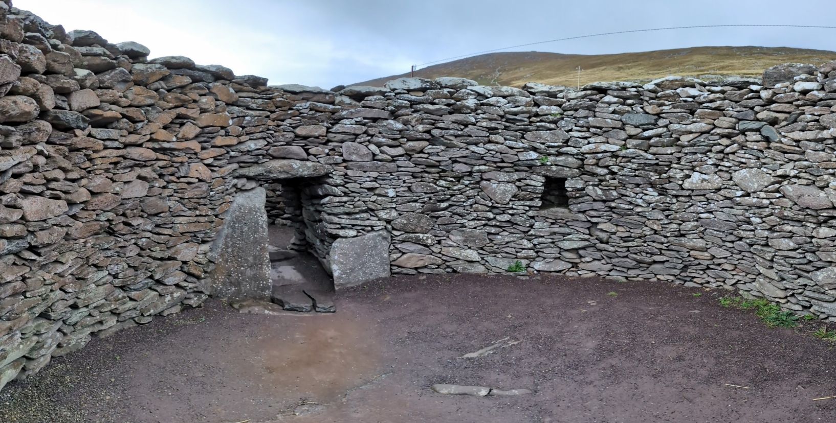
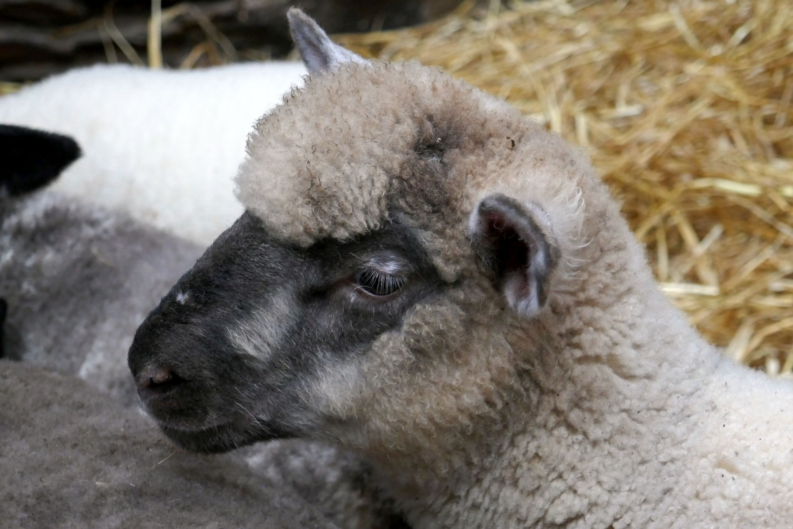
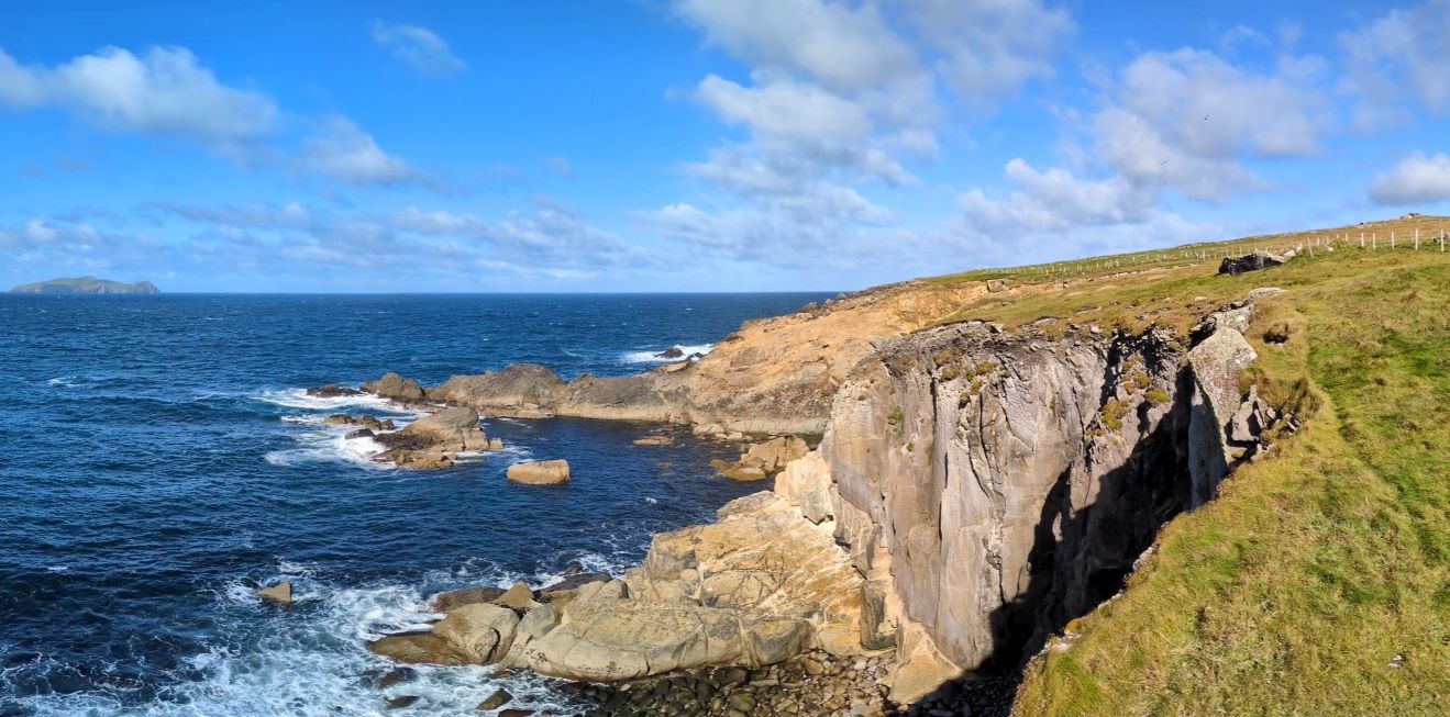
Our morning began in Slea Head, the westernmost point in Ireland, to see ancient beehive-shaped dry-stone huts located on what is now a small sheep farm. It was amazing to see how meticulously these huts were constructed, by stacking the rings of stone so that each layer went further inward until a pointed roof was formed to cap the structure. Nobody knows just how old these huts are, because this method of construction was used in Ireland for thousands of years.
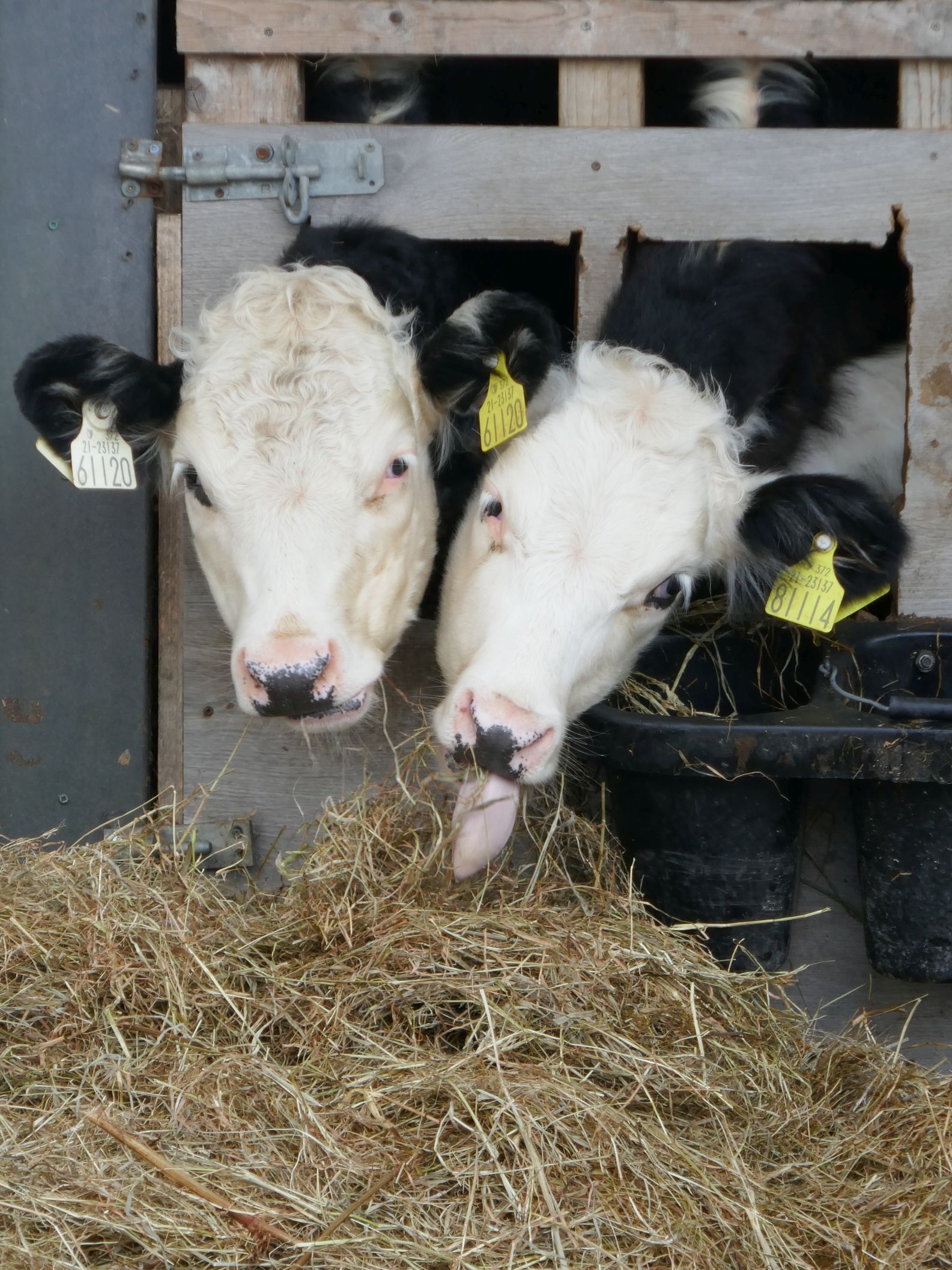
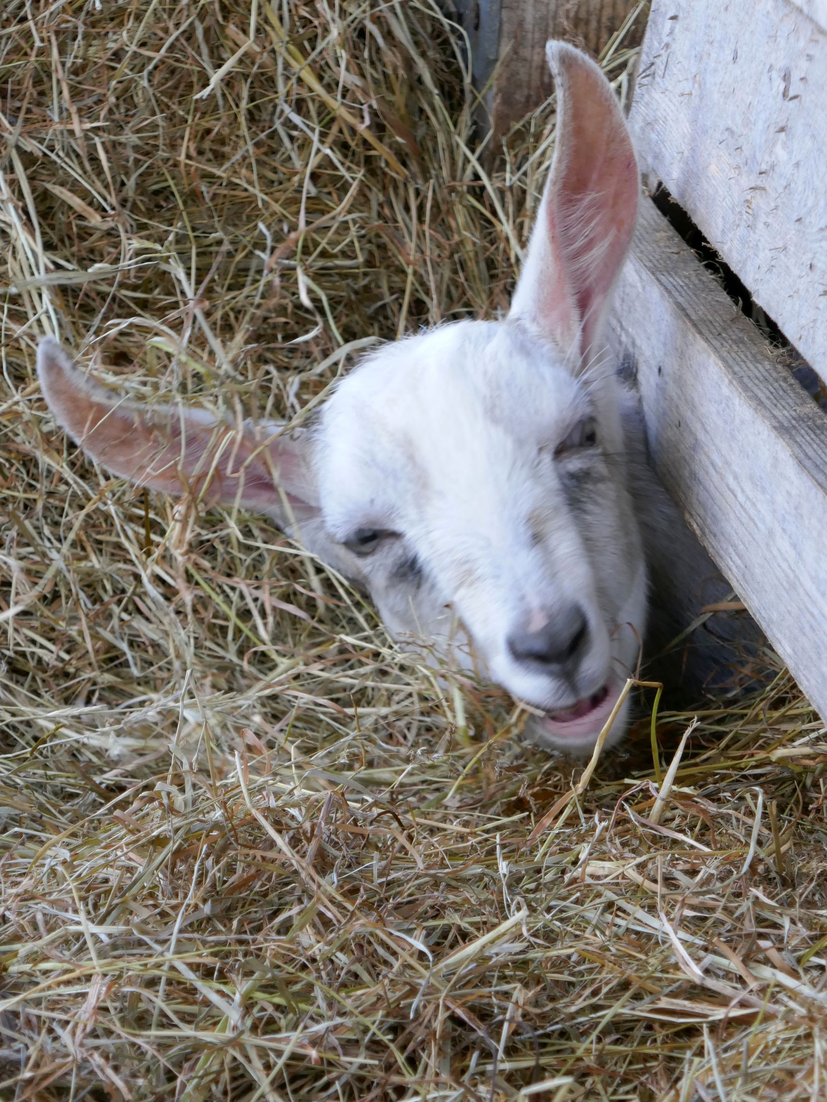
In addition to our guided tour of the huts, we had the opportunity to bottle-feed the adorable baby sheep.
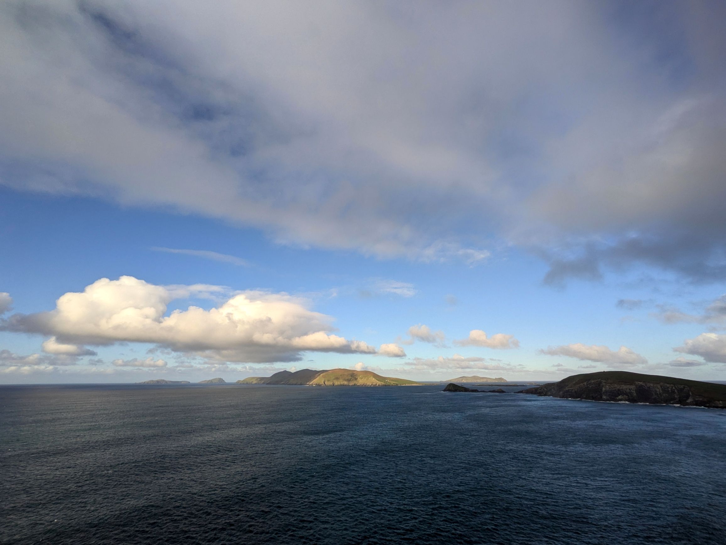
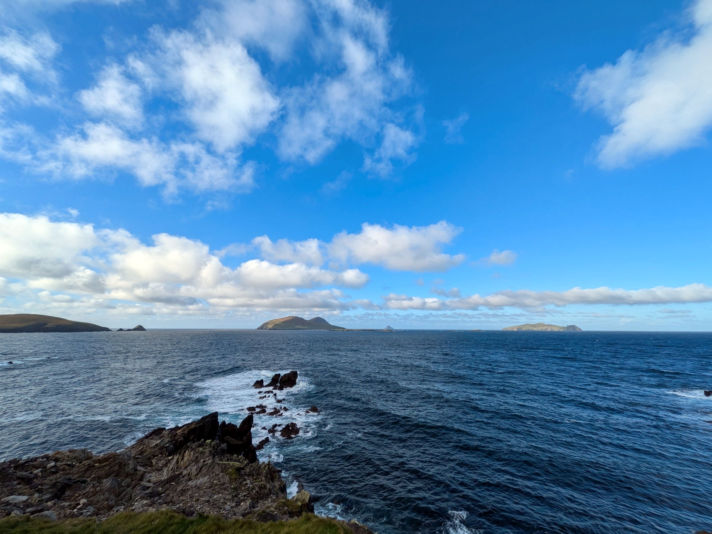
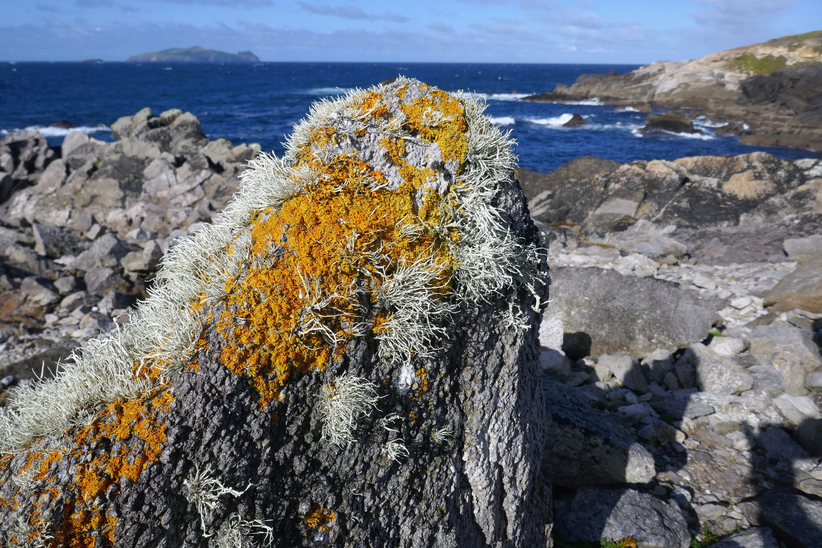
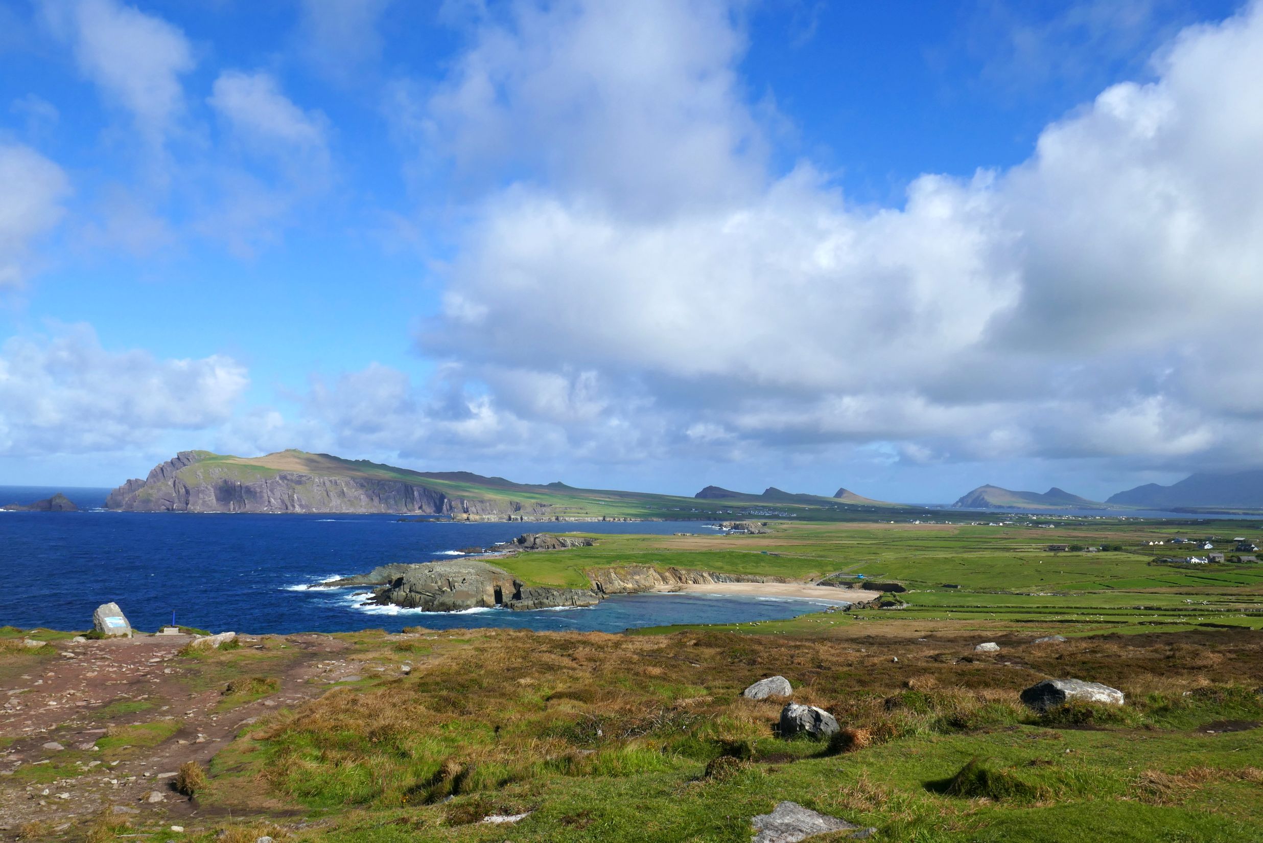
We continued along Slea Head Drive, one of Ireland’s most scenic routes, stopping at Radharc na mBlascaodai to enjoy the breathtaking view of the Blasket Islands.
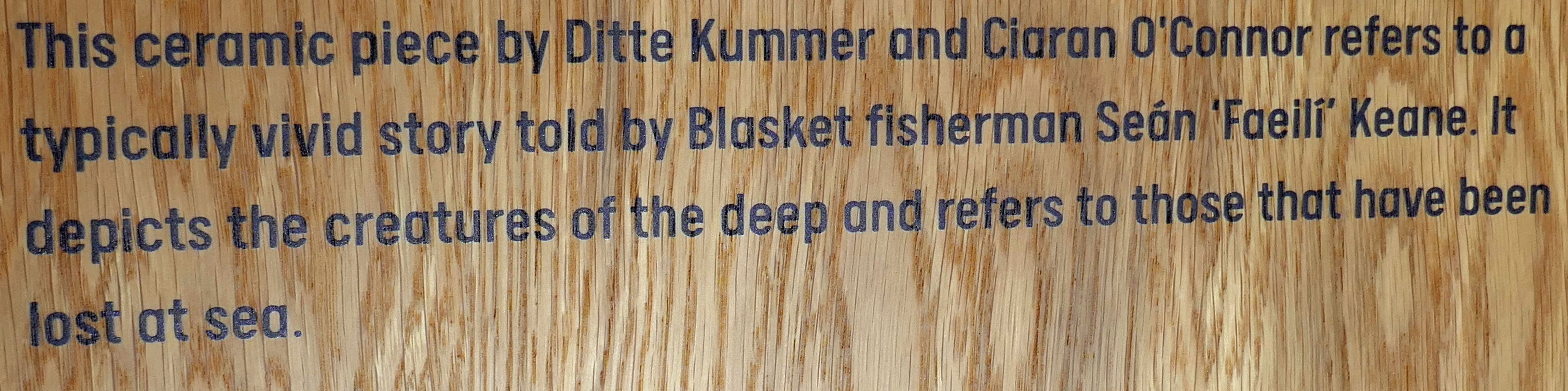
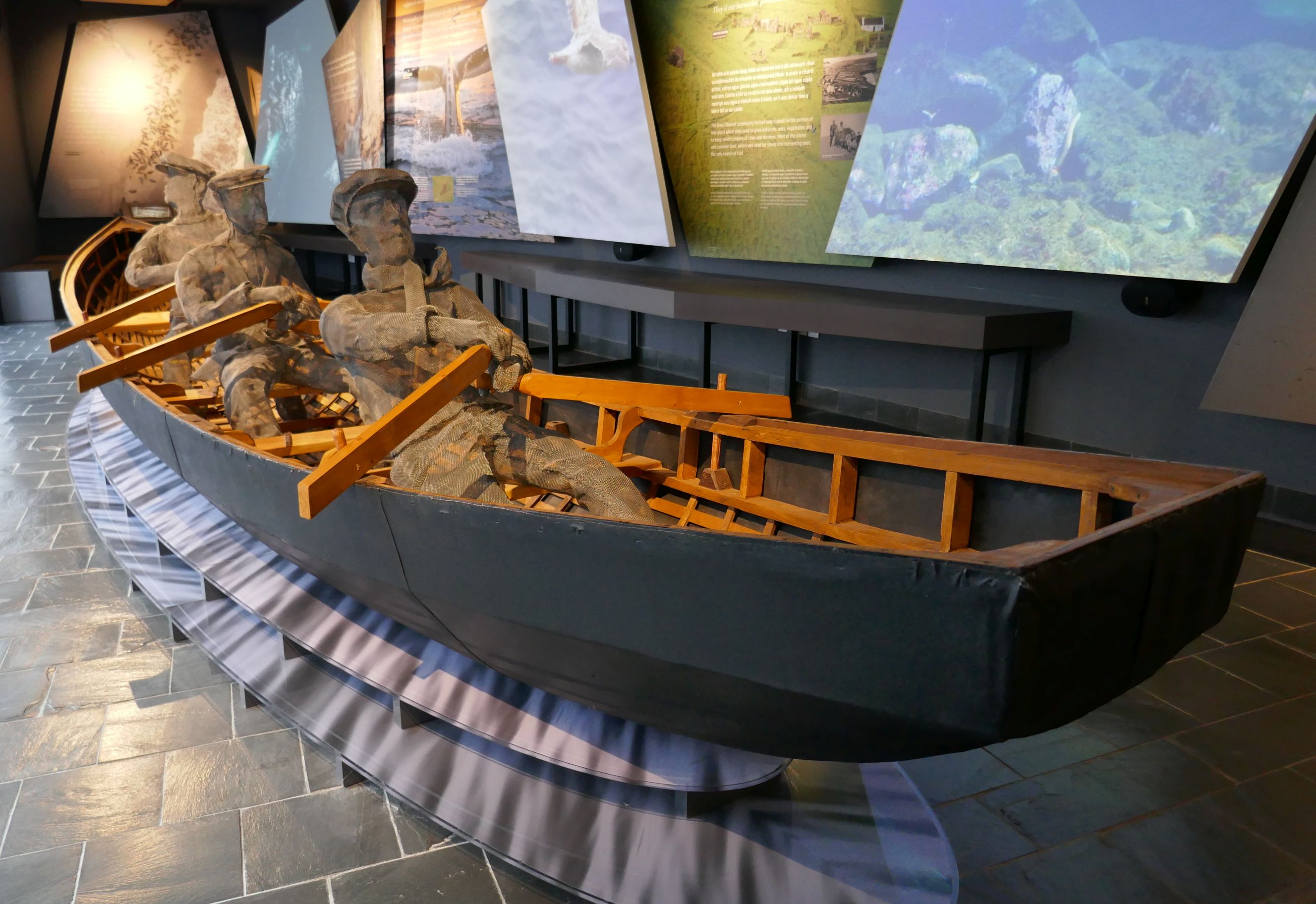
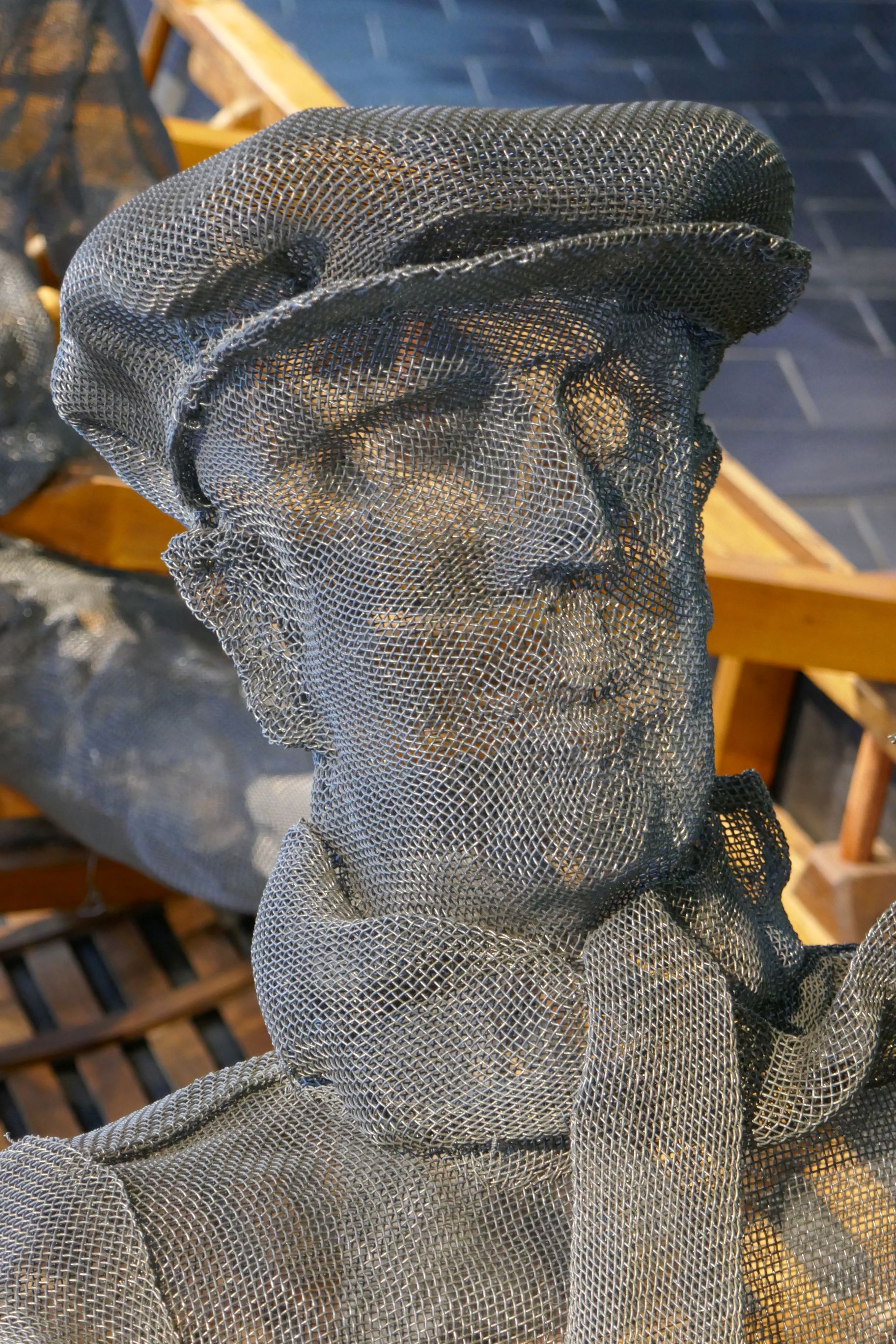
Our next stop, The Blasket Centre, was a wonderful surprise! Not only did the exhibits capture my interest, but the views behind the museum were spectacular! To be quite honest, we didn’t even go into the museum at first. The skies were amazingly photogenic, and we wanted to take in the views of the sea and Blasket Islands first, just in case the weather changed again. We figured that if another storm blew in, we would stay dry inside the museum.
This is why we made a beeline for the cliffs:
We could have stayed out there the entire time, but I am so glad we didn’t, because the museum was fabulous.
If you go, this is what you will see when you first walk in:
The Blasket Centre details the heritage and culture of the strongest remaining Irish speaking communities, the Gaelic-speaking Blaskets. They inhabited one of the islands until their forced evacuation in 1953. Approximately 180 people lived on Great Blasket at its height in 1920, but emigration, mainly to the USA, was common. Between 1916 and 1926, a fifth of the community had emigrated. The decline in inshore fishing after World War I was one factor, and the exodus of young women from the island was another. America was a big draw for those who wanted to help their families by sending home money, and many settled in Springfield, Massachusetts. When one went, they would send the fare for the next sibling to cross the Atlantic, so the exodus continued for several more years.
Following a series of official studies and reports into the plight of the islanders, the decision was made to evacuate the island in 1953 and rehouse the population on the mainland. There was one family who held out until the following year, but once the O’Sullivans left, it was sadly the end of the Blasket community.
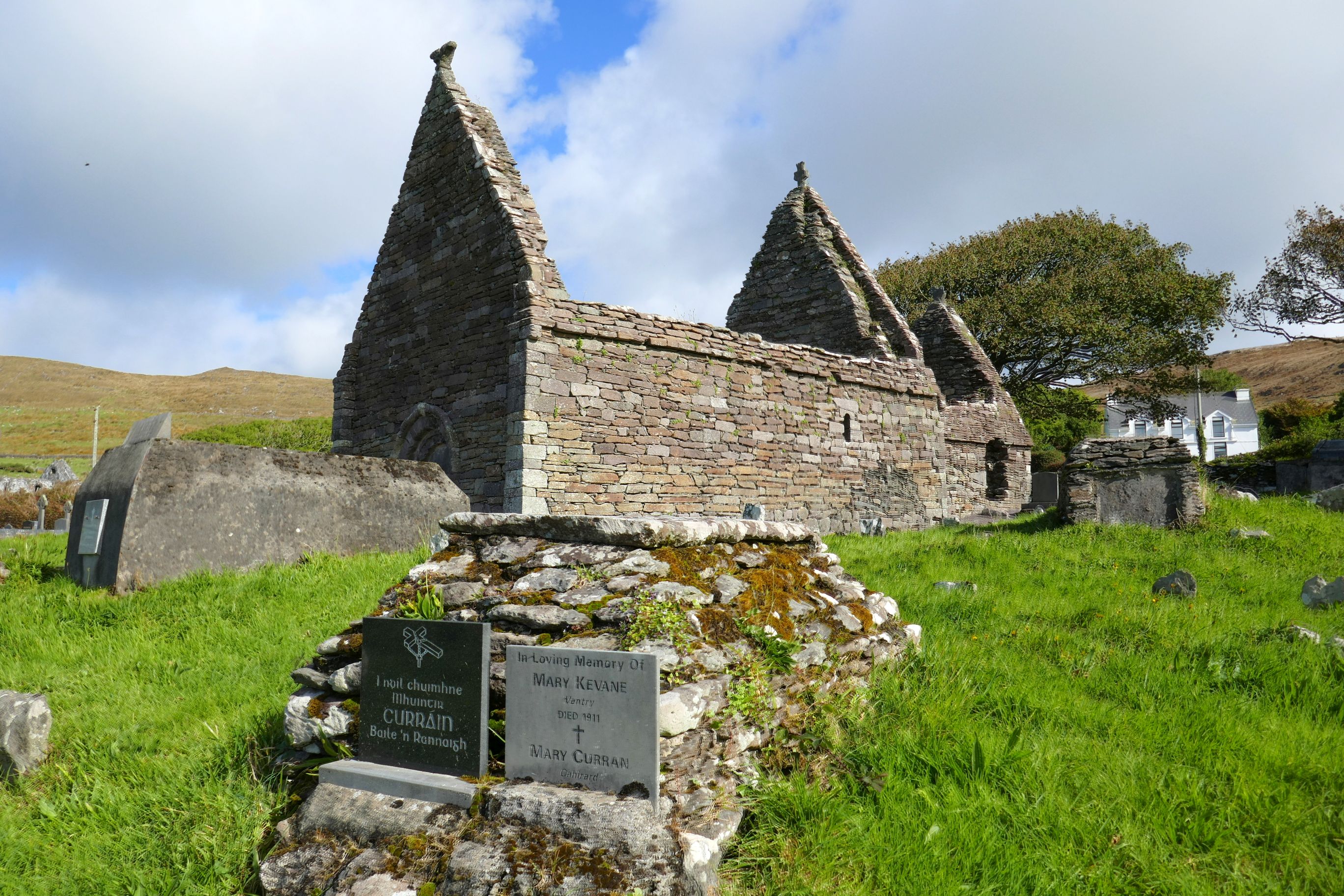
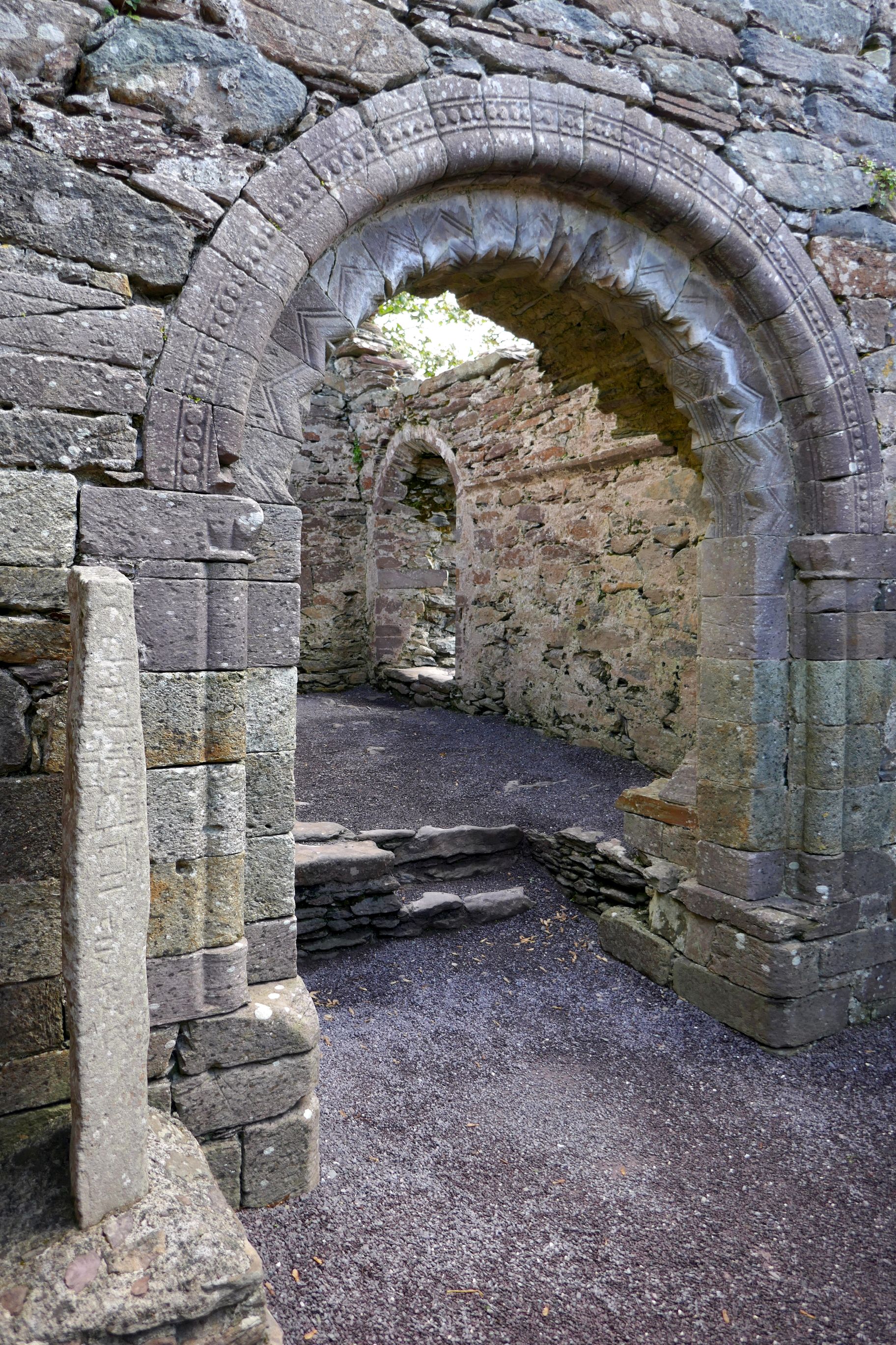
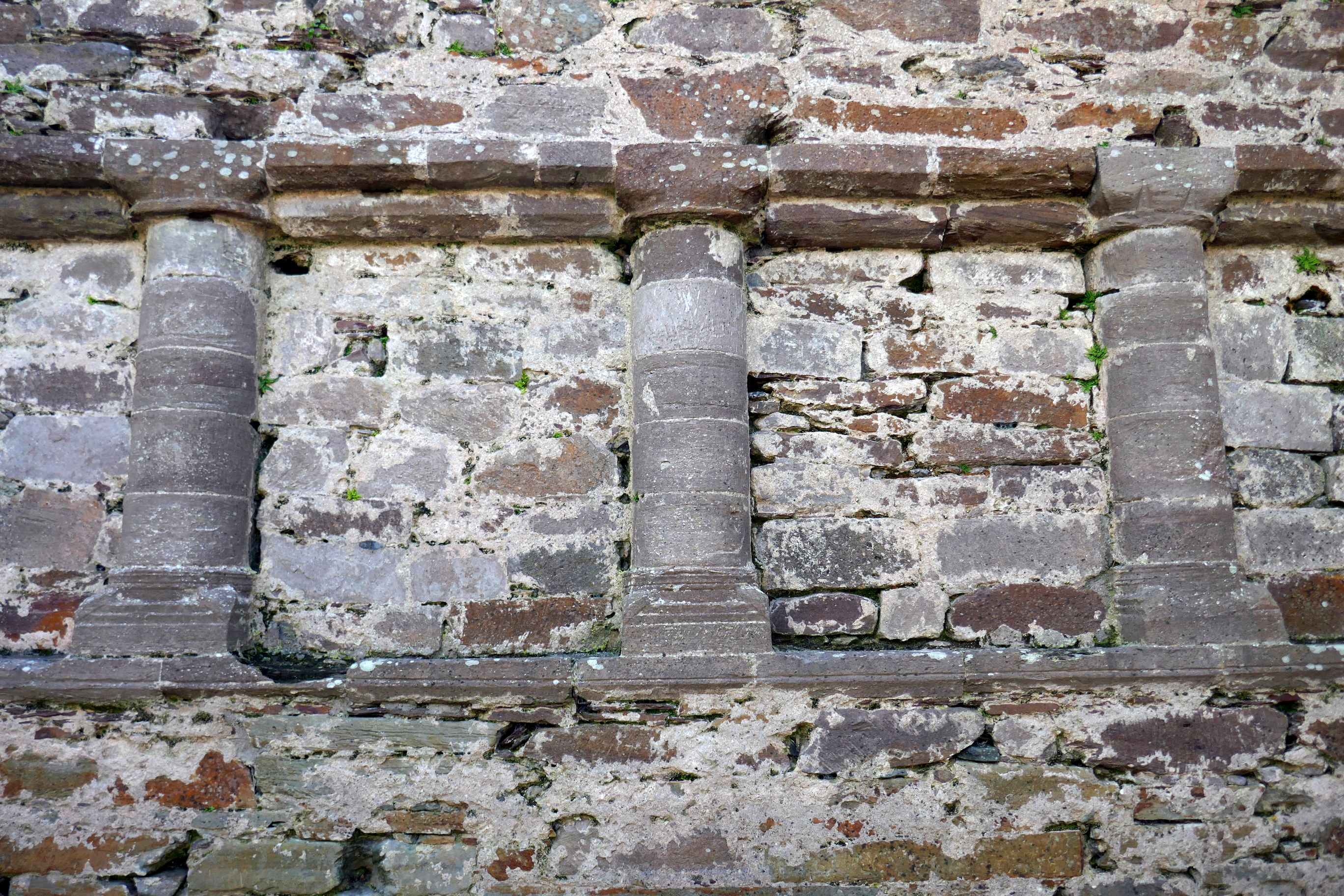
After the impactful Blasket Centre visit, our group continued driving along the Dingle Peninsula, stopping to see the remains of Kilmalkedar Church, built in the 12th century.
Next up: IRISH ADVENTURE #21: INCHING ALONG INCH BEACH, KERRY CREAMERY, & MUCKROSS GARDENS
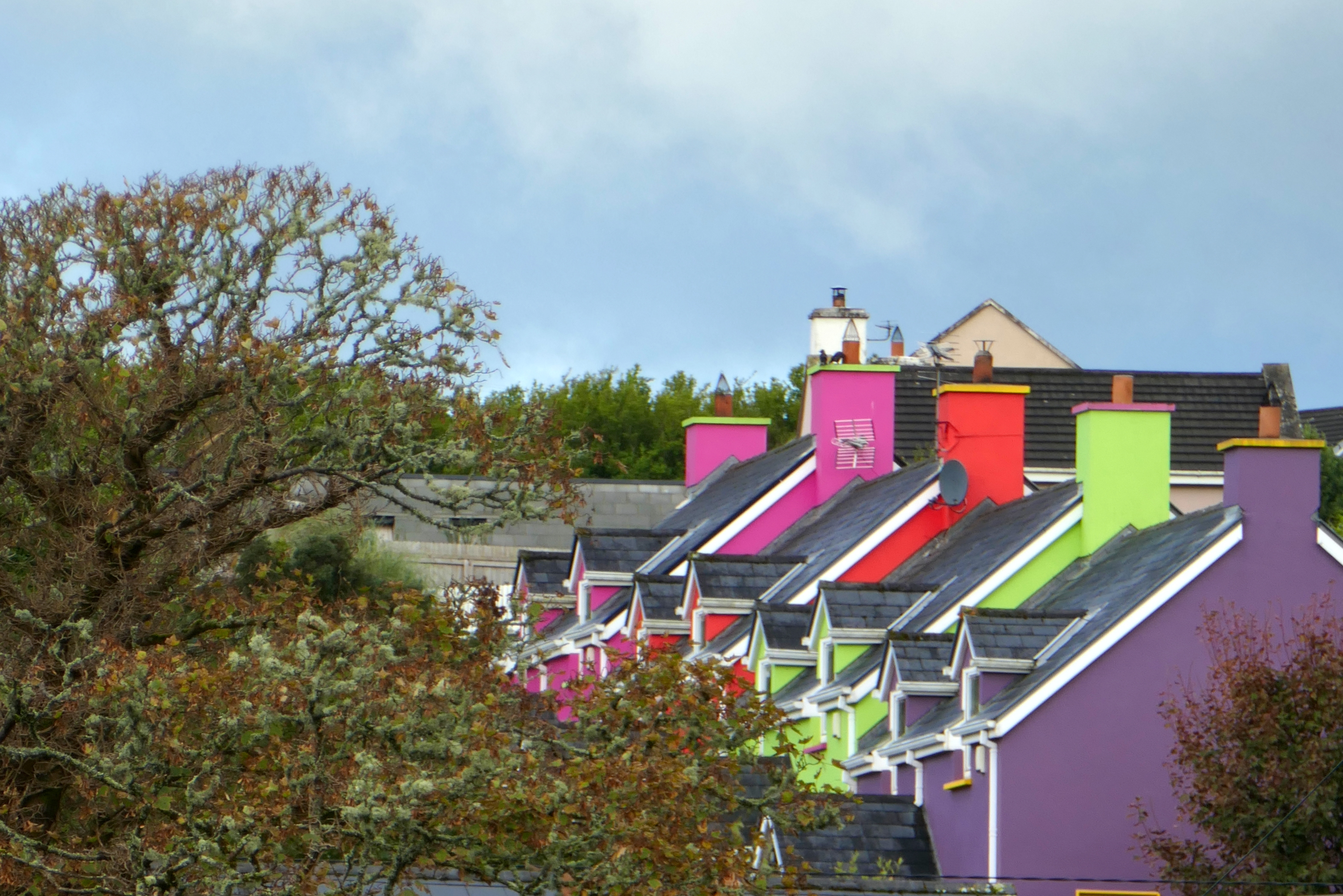
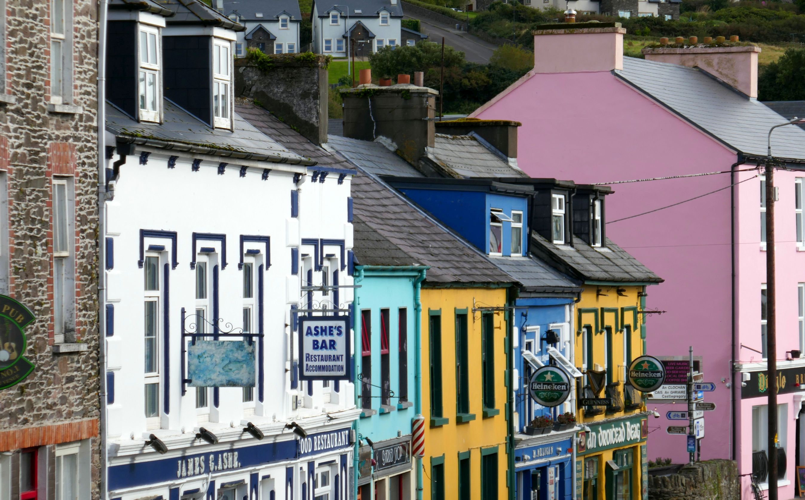
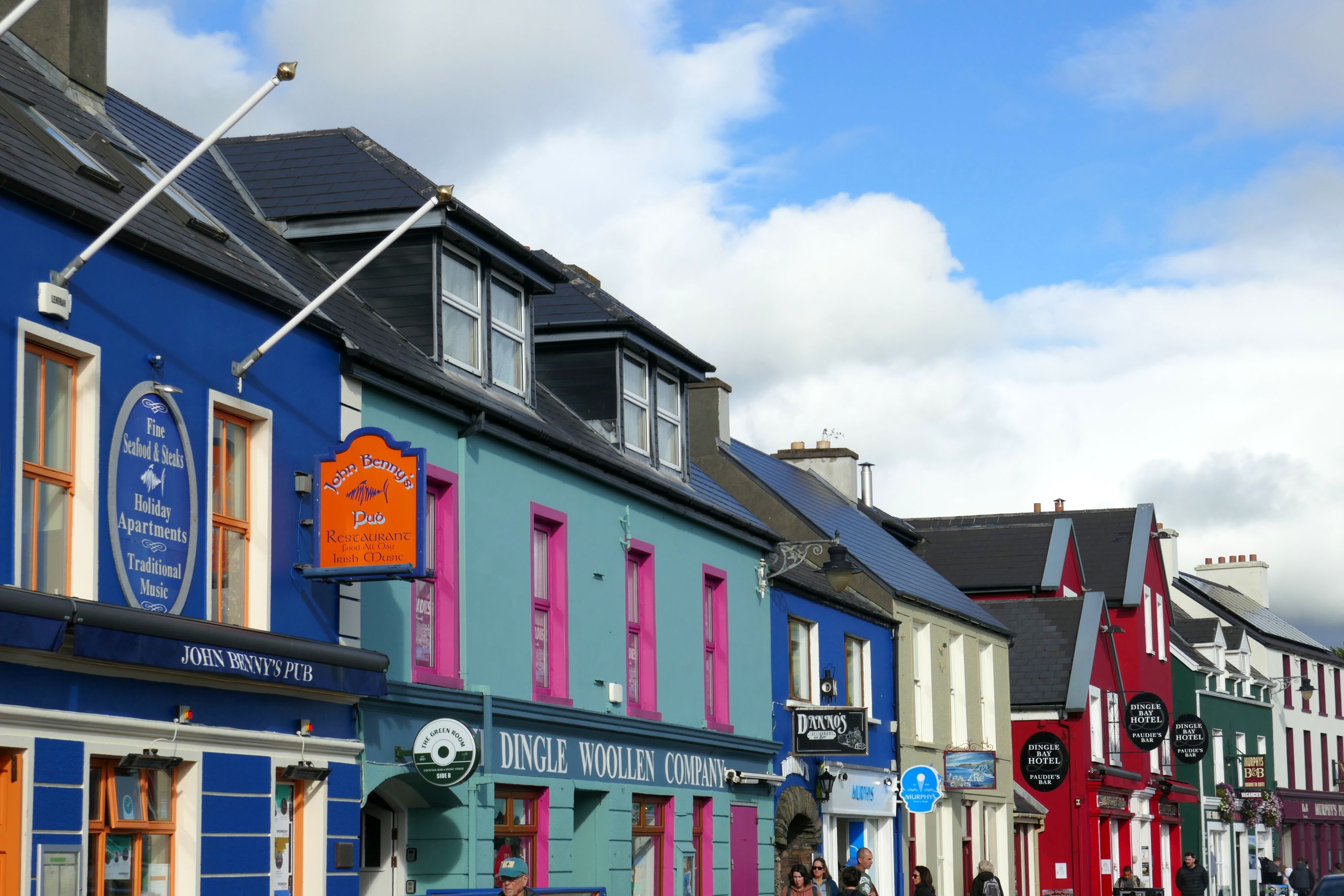
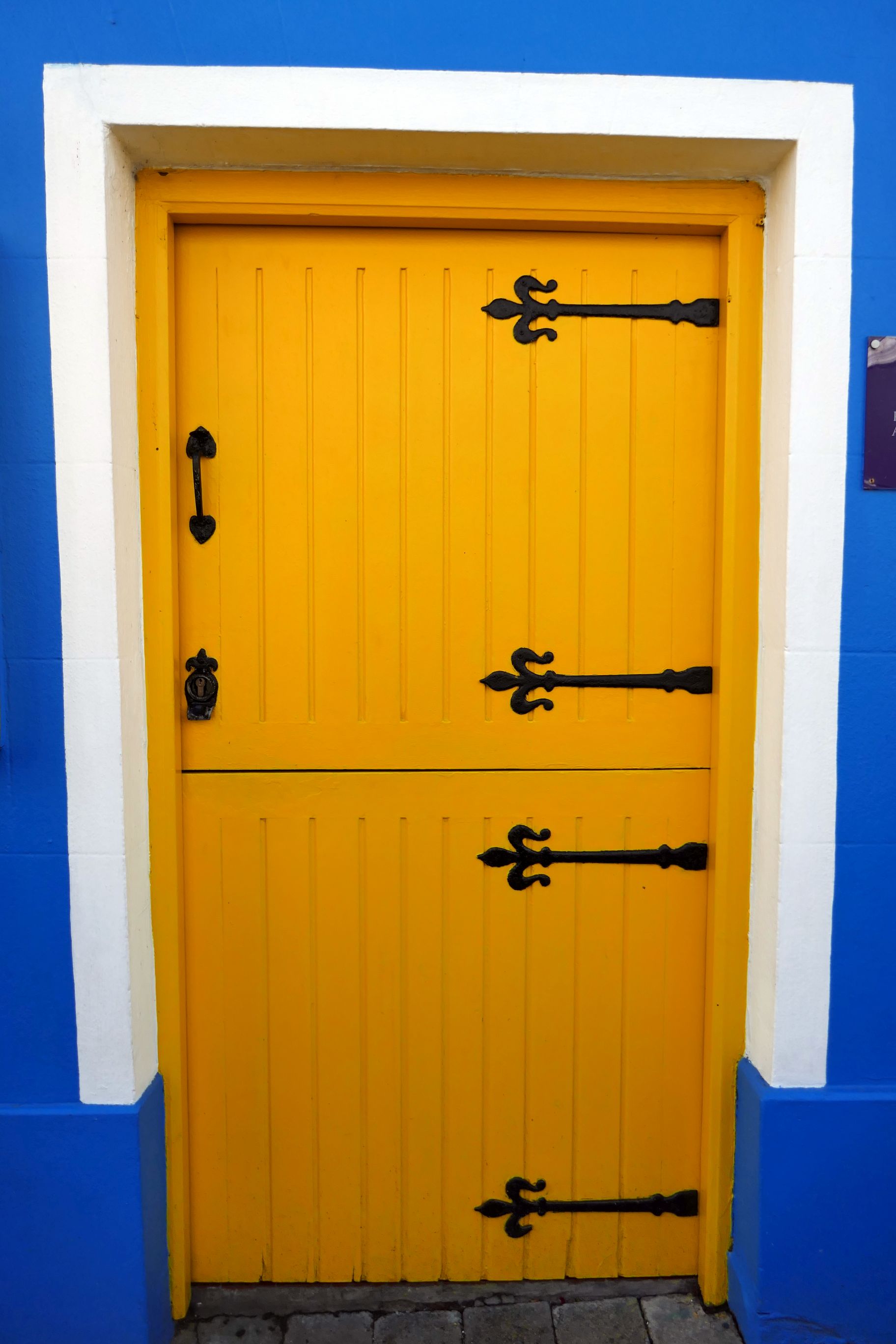
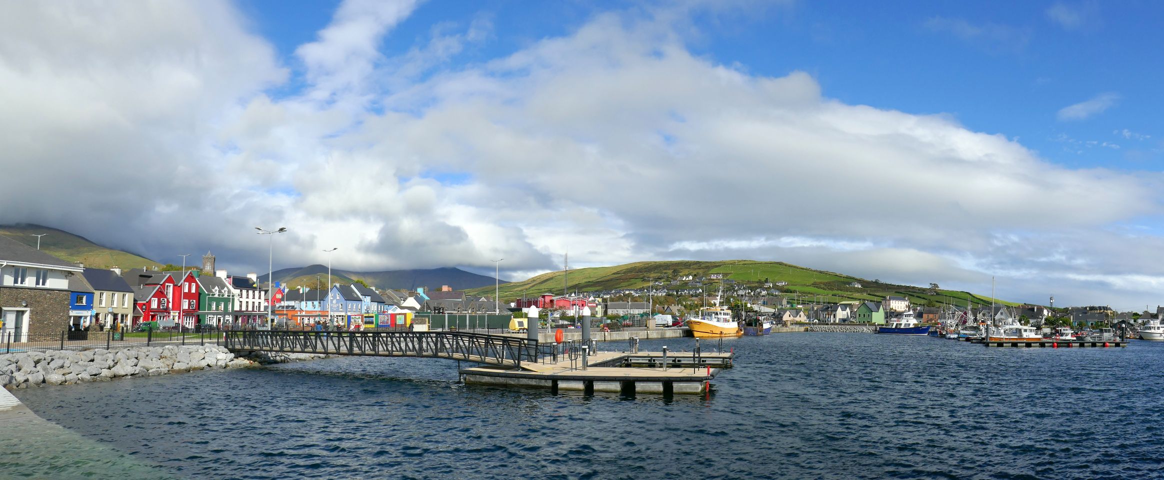
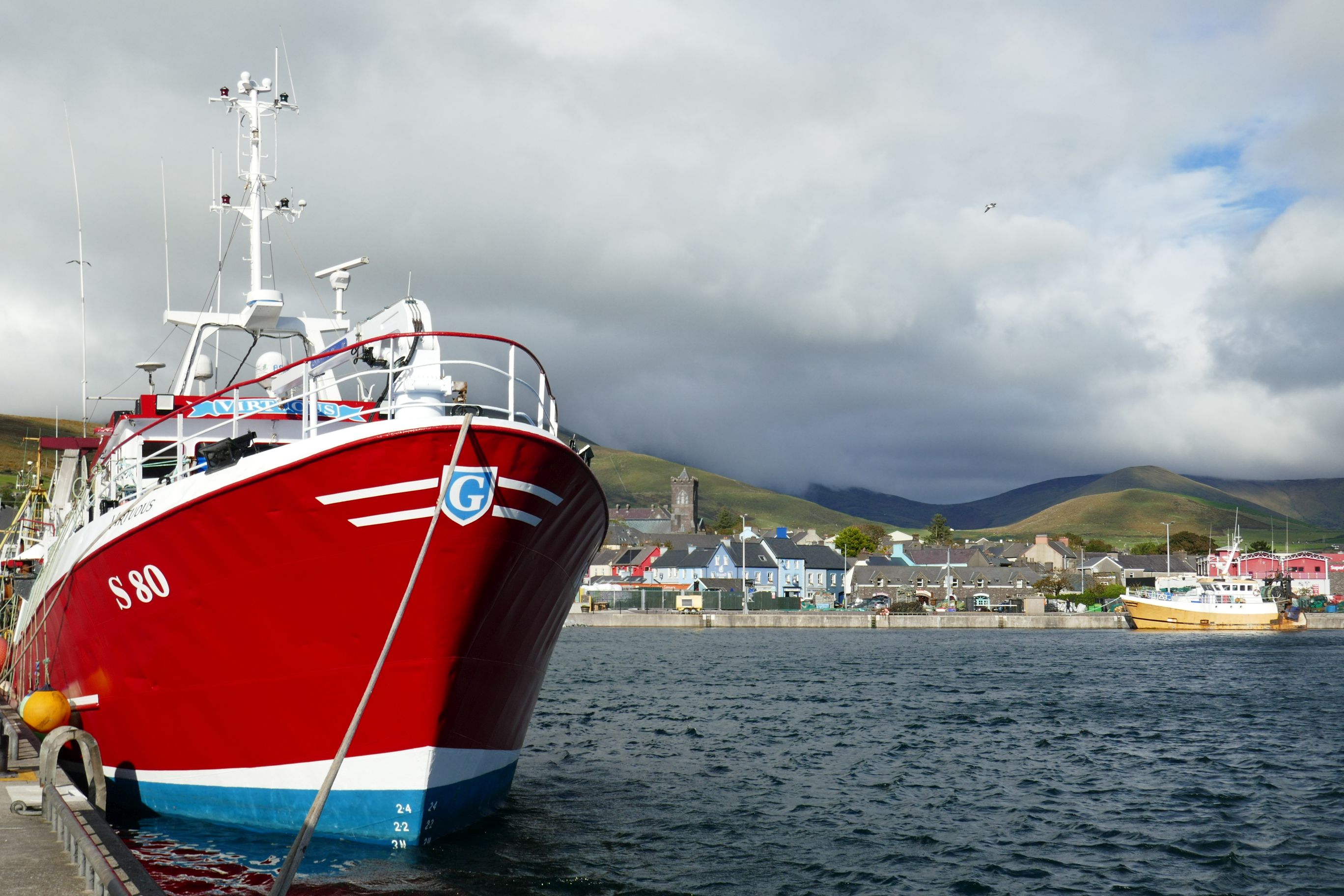
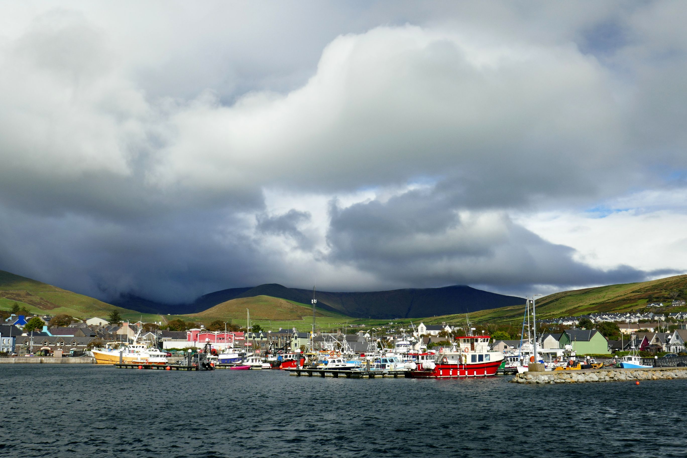
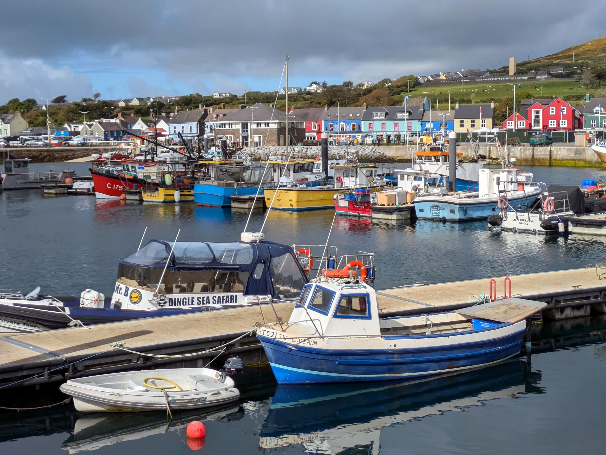
Dingleis delightful! This little town of less than 1,700 people is so colorful and charming; it brought a smile to my face the moment we arrived. Located in southwest Ireland, Dingle is on the coast of County Kerry and the only town on the Dingle Peninsula. A popular tourist destination, Dingle’s other main industries are fishing and agriculture.
As soon as we stepped into the lobby of the Dingle Benners Hotel, it was like stepping back in time. Dating back to the early 1800’s, the boutique hotel was filled with antiques, old photographs, and a beautiful bar.
(For all photos, click on the image for a full screen view.)
On the wall surrounding the courtyard
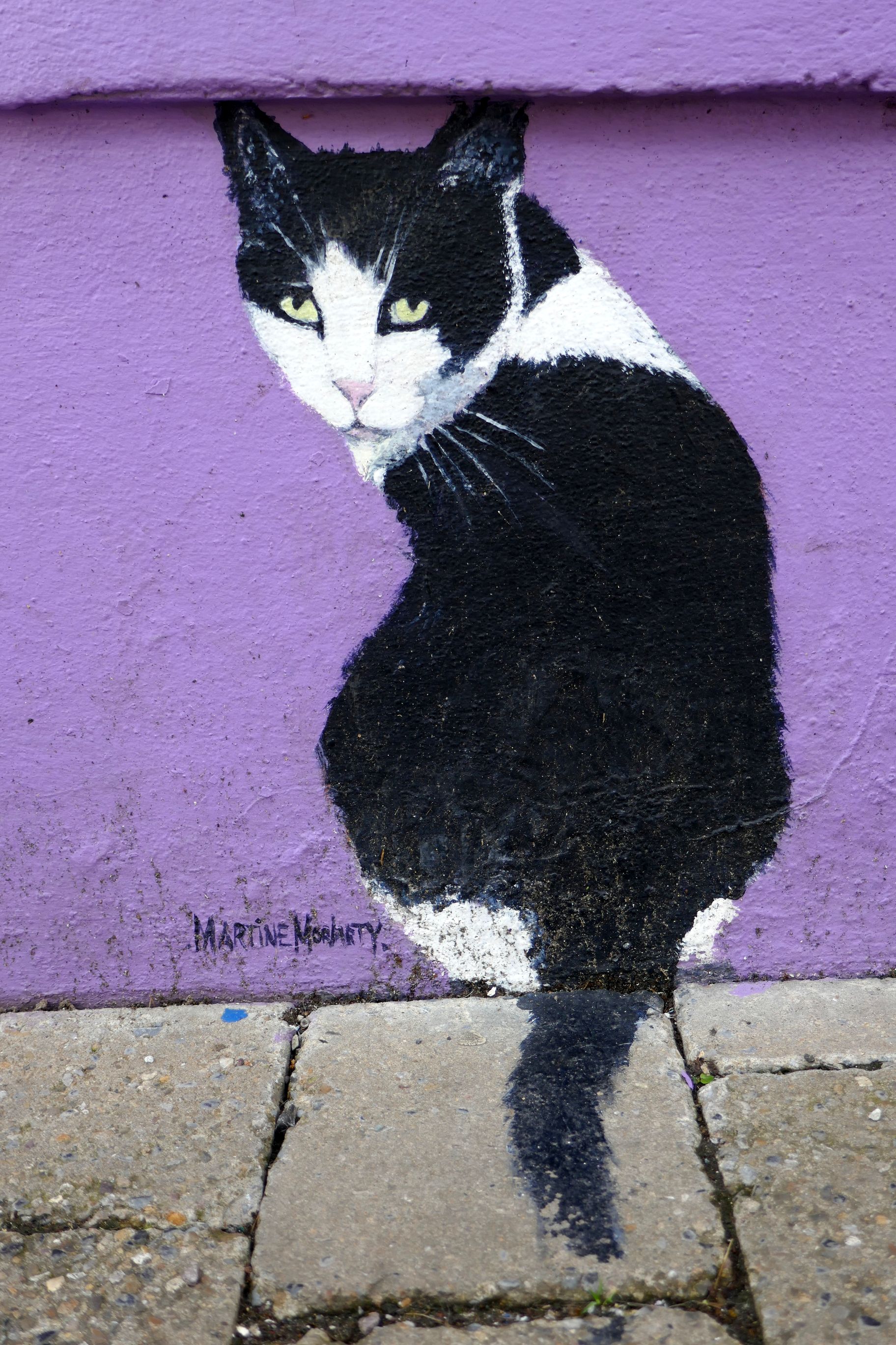
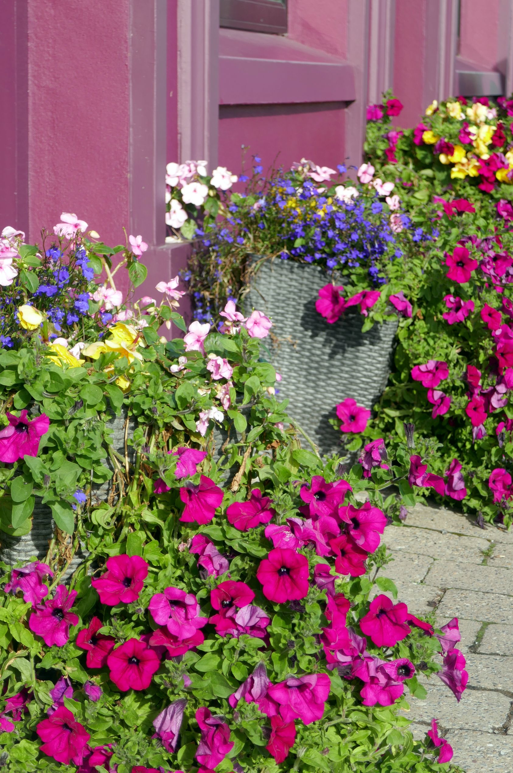
Although we went on an orientation walk with our tour leader, it’s impossible to get lost in this little town that lines the harbor. It was such a beautiful day (although, as you will see in my photos, the sky looked quite threatening off in the distance), we continued exploring on our own. I couldn’t stop taking photos, and it was a tough edit for this post! So, happy scrolling!
The view across the street from our hotel
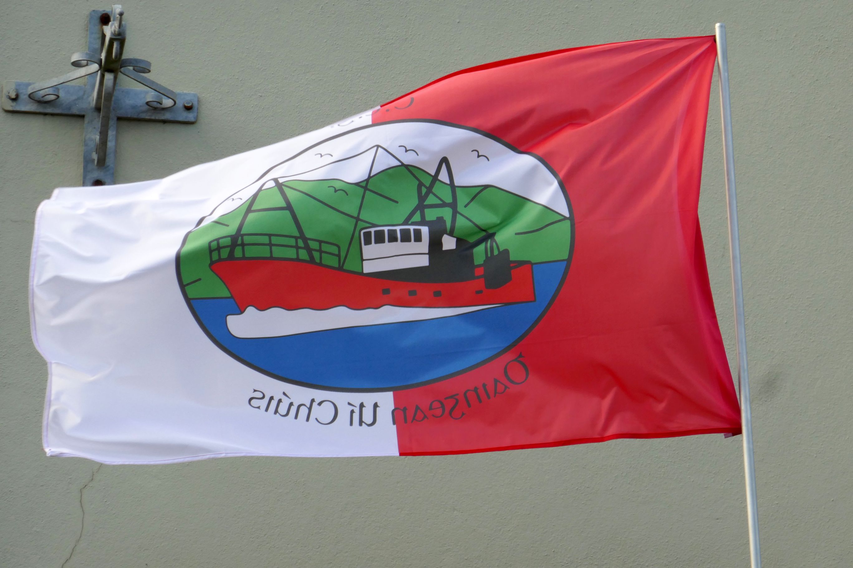
The flag of Dingle
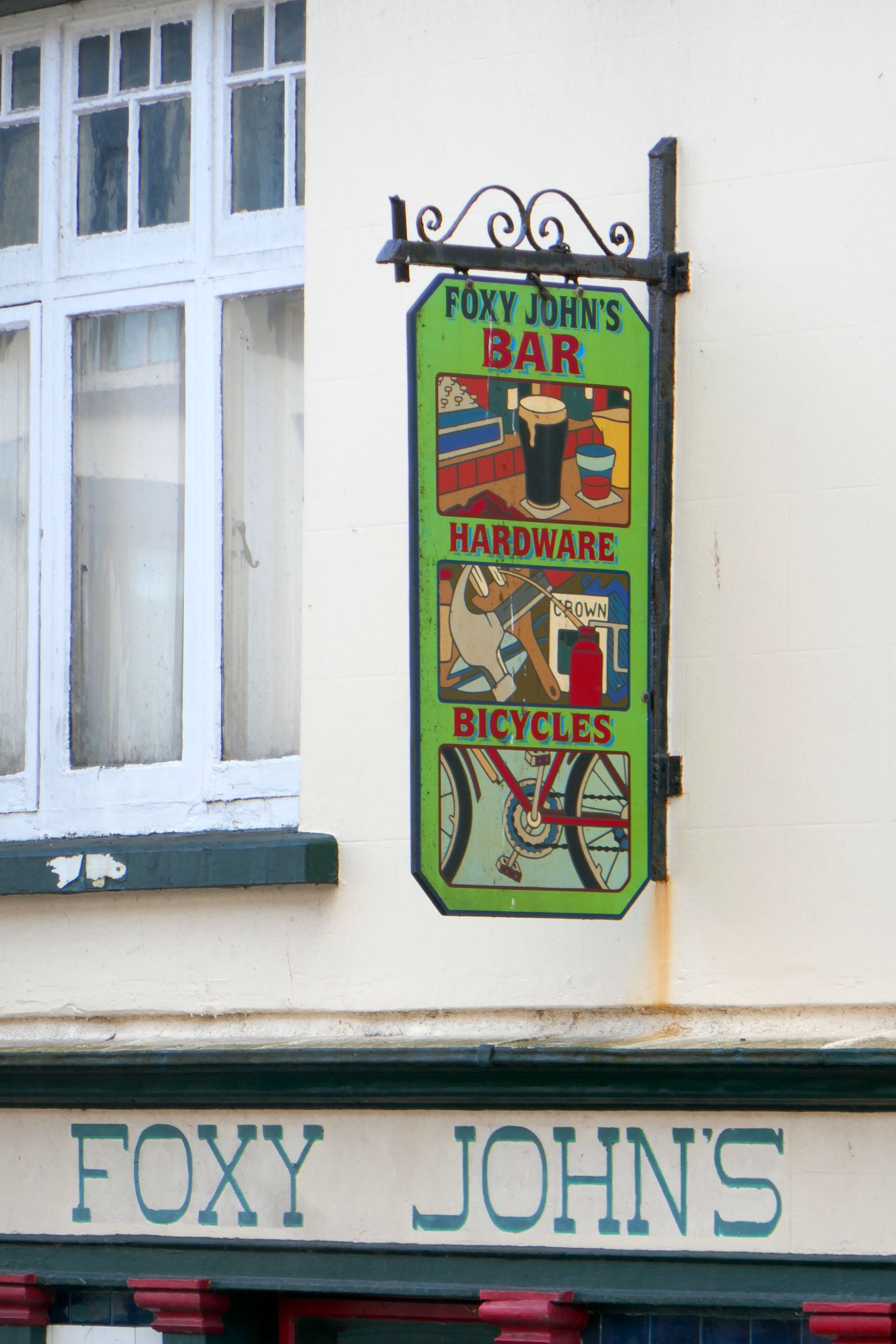
A bar, hardware store, and bicycle shop all wrapped into one funky joint; see below!
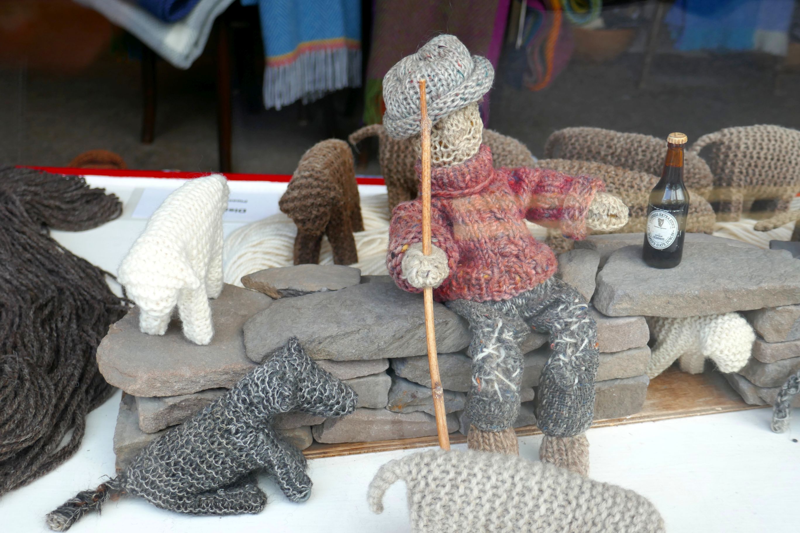
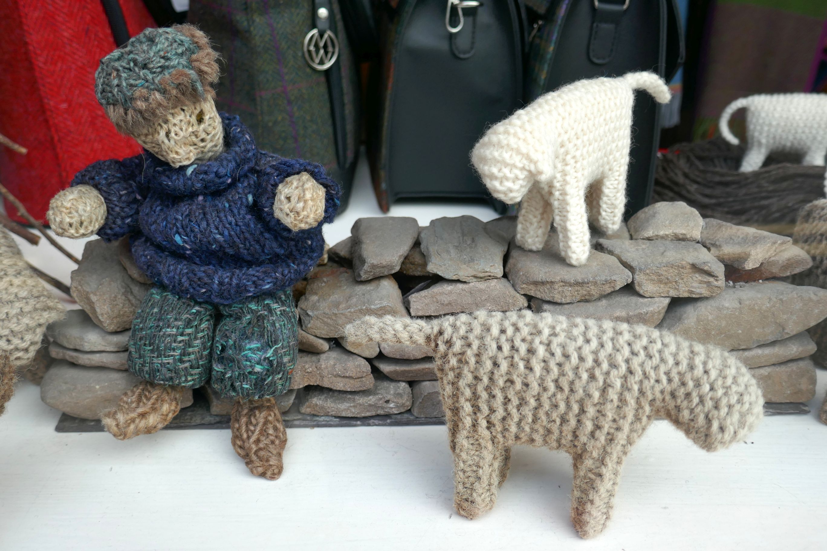
Below is a window display of adorable knitted people and animals.
Make sure click on the next one to see it full screen. Isn’t Dingle delightful?
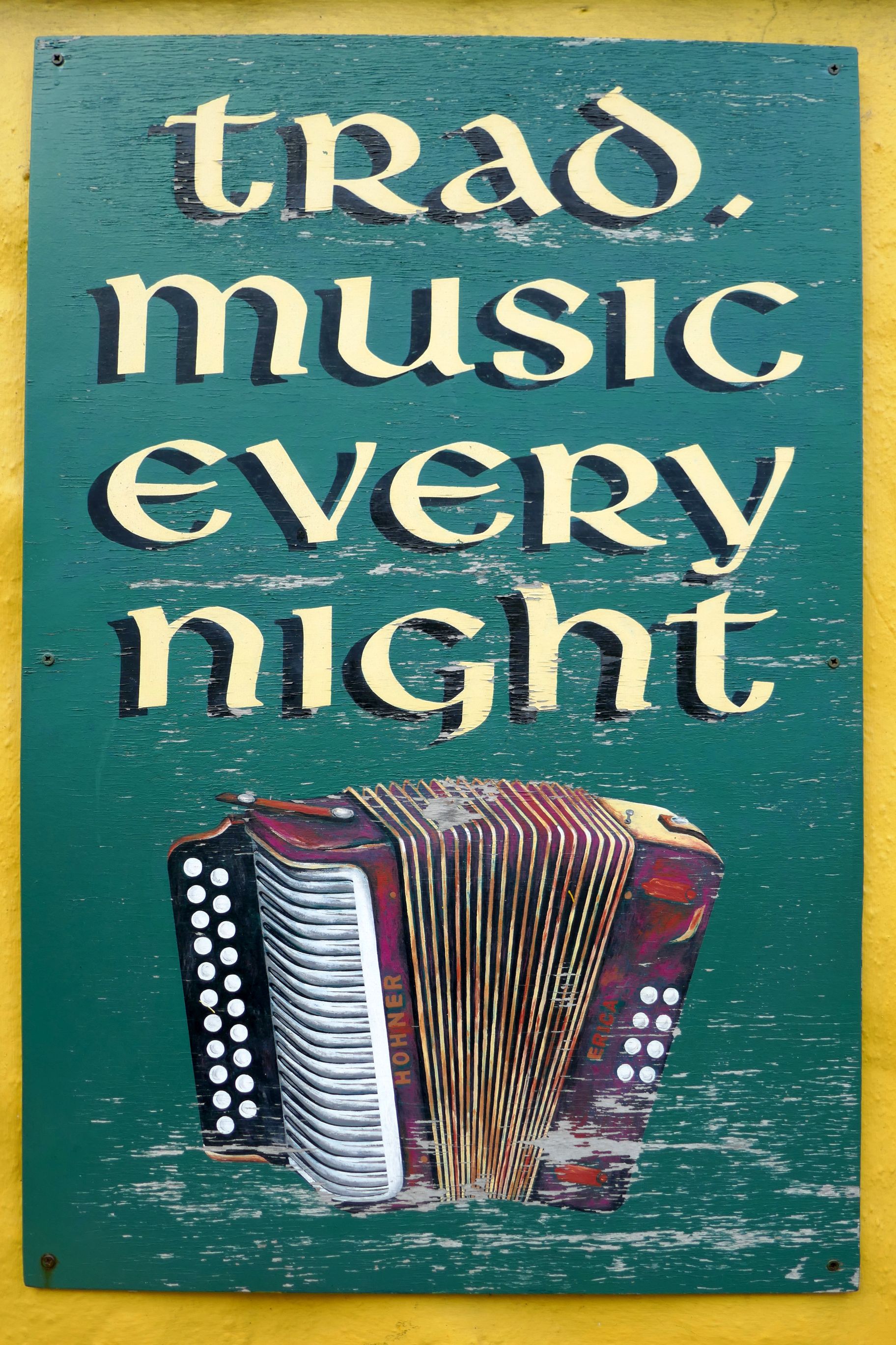
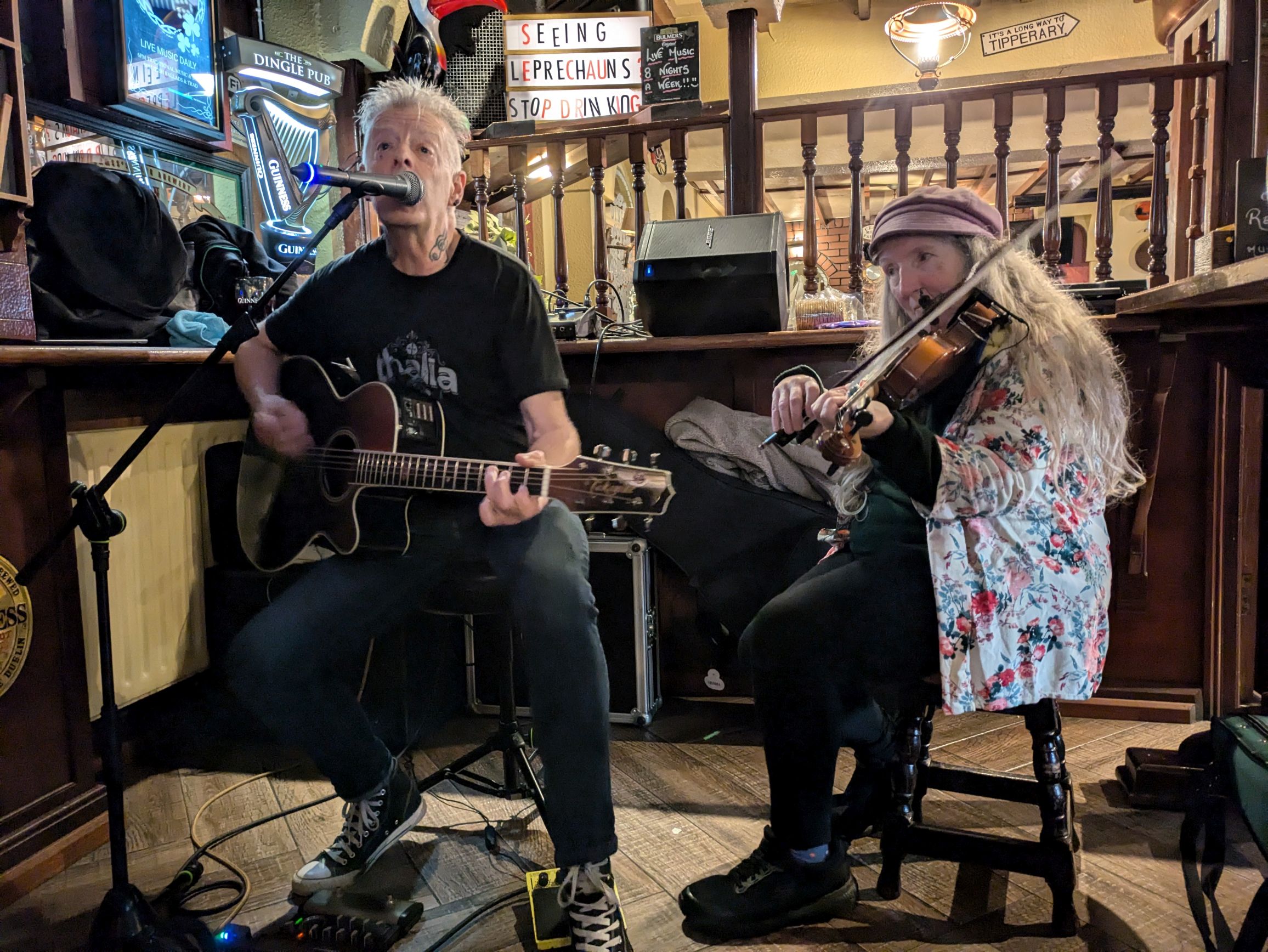
Located across the street from our hotel, it was a convenient place to grab dinner and listen to some trad. music!
A heart in the sky!
Coming up next: IRISH ADVENTURE #20: DRIVING THE DINGLE PENINSULA
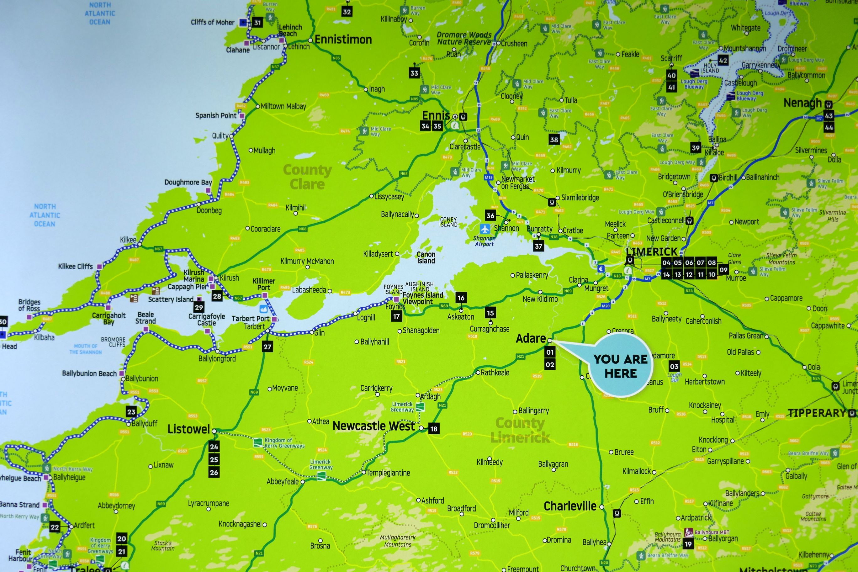
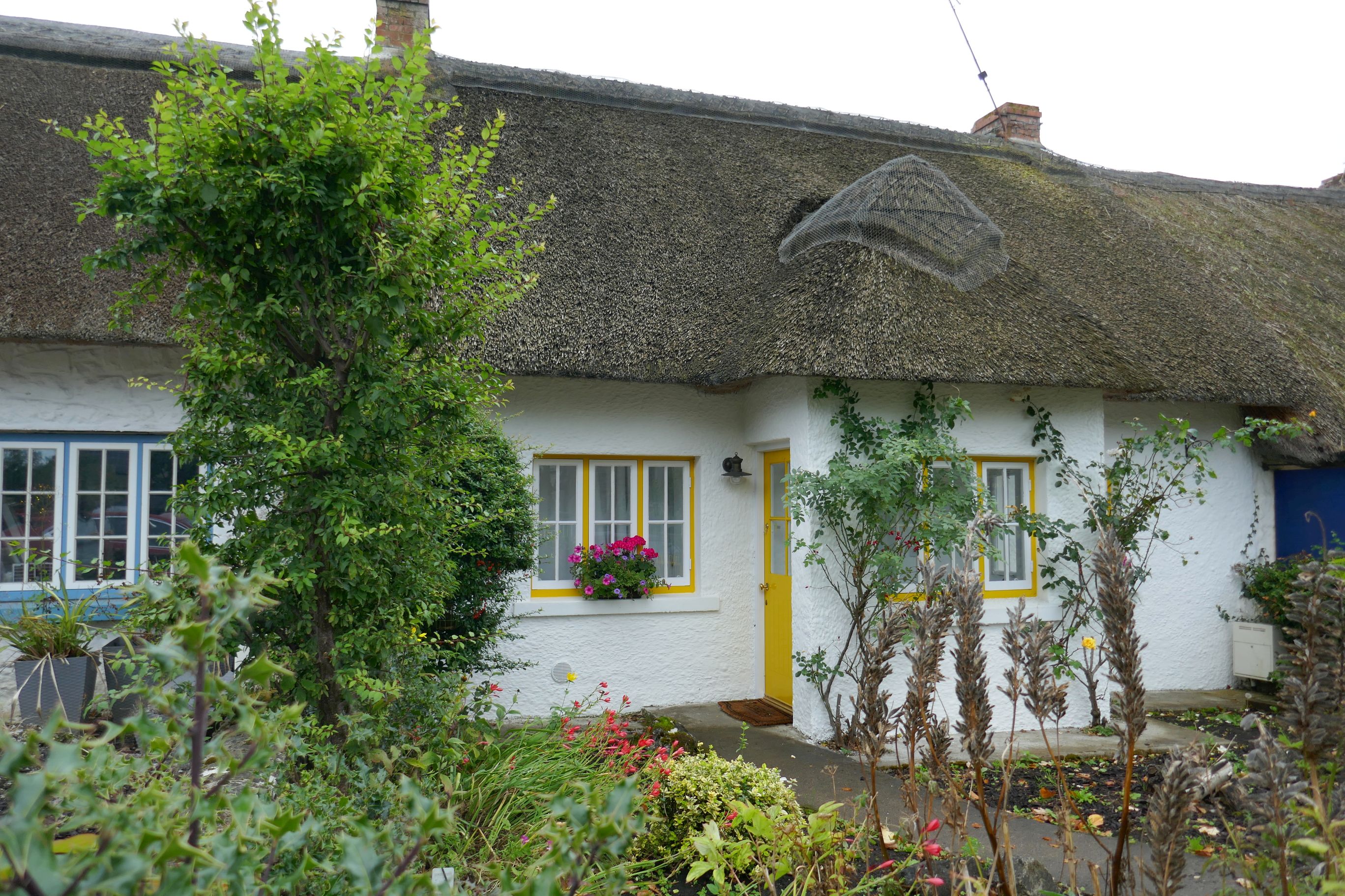
This was a travel day, departing Ennis and driving along the River Shannon with Dingle as our destination. The traditional Irish village of Adare was our first stop, a quaint little town in County Limerick.
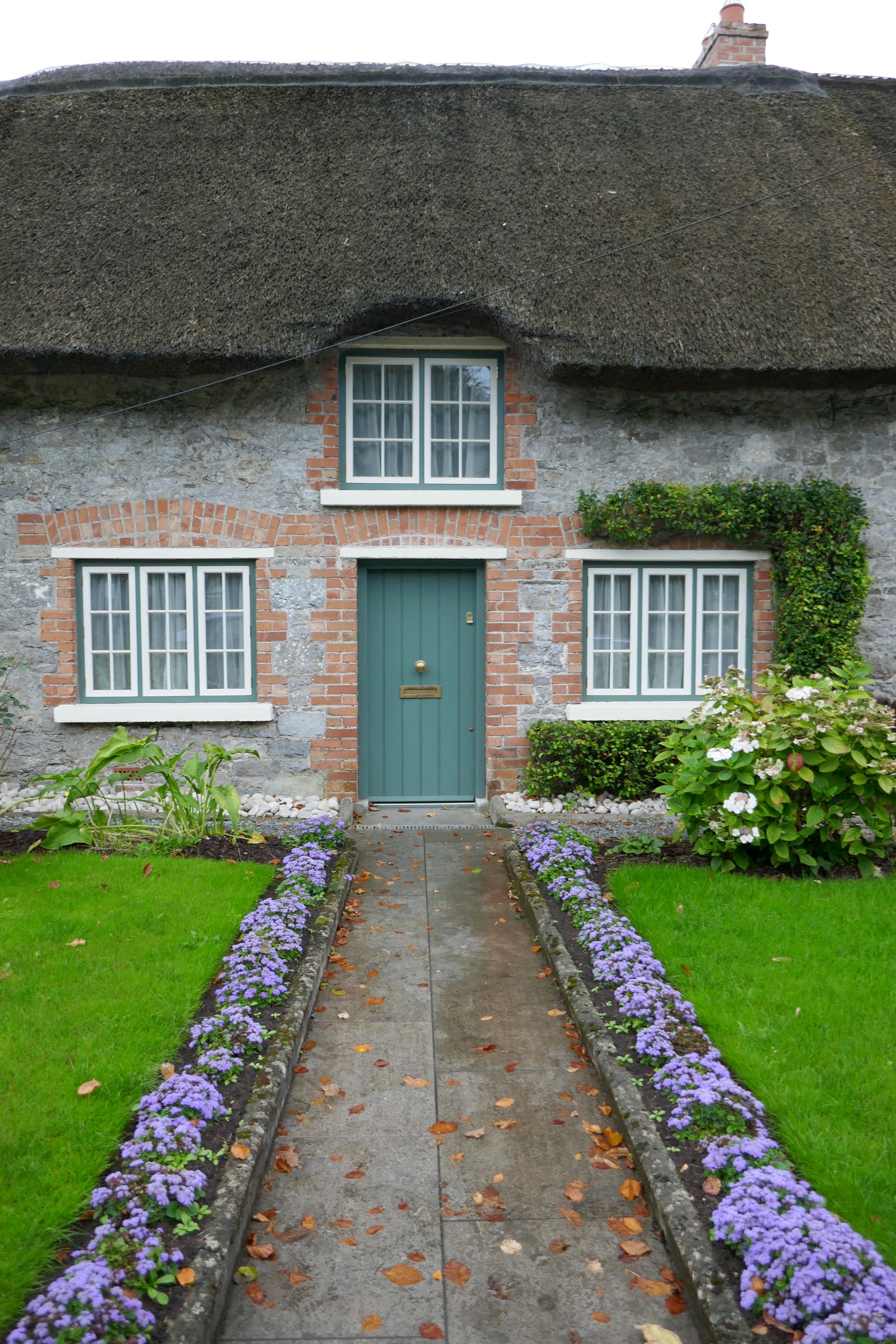
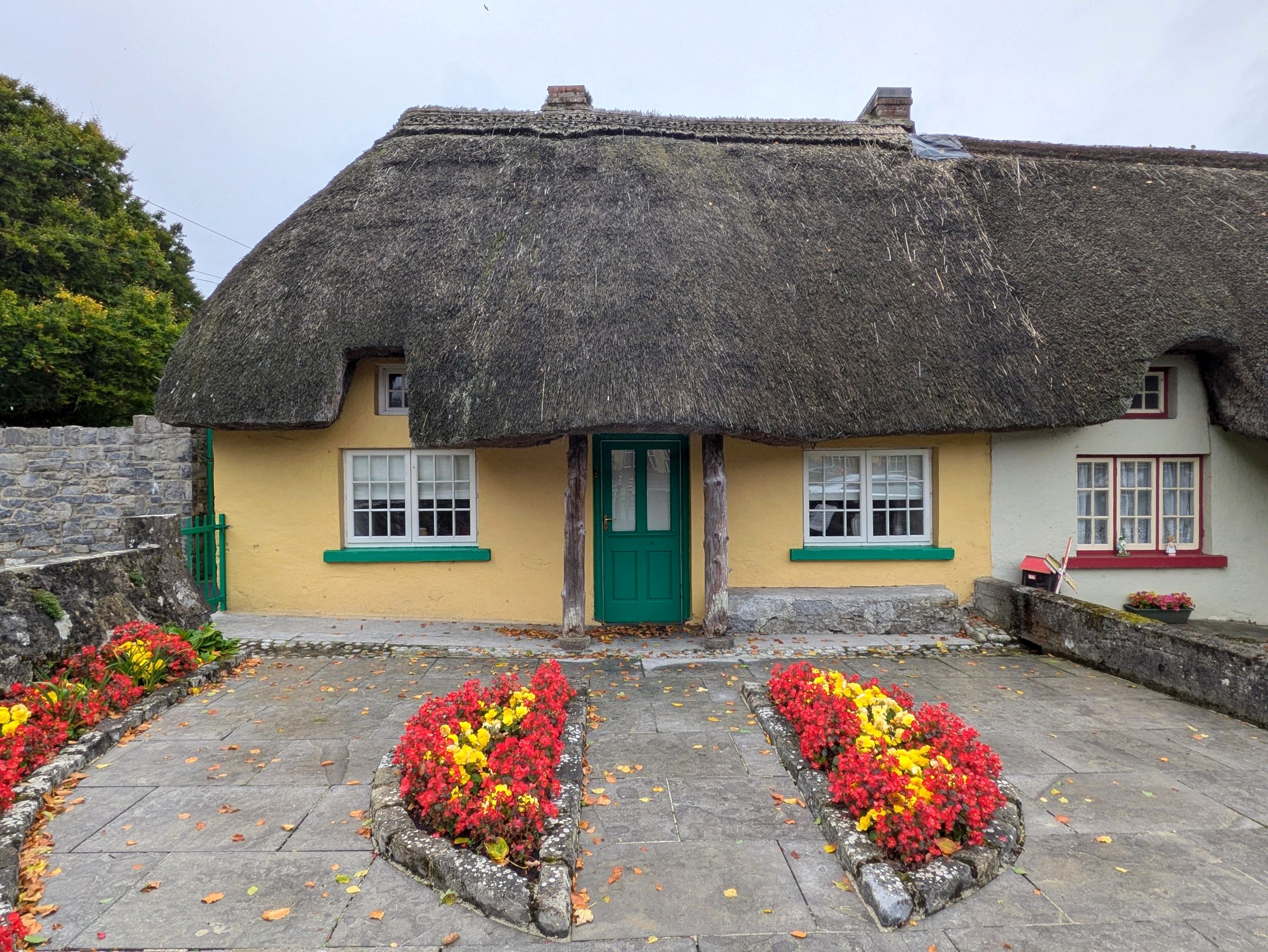
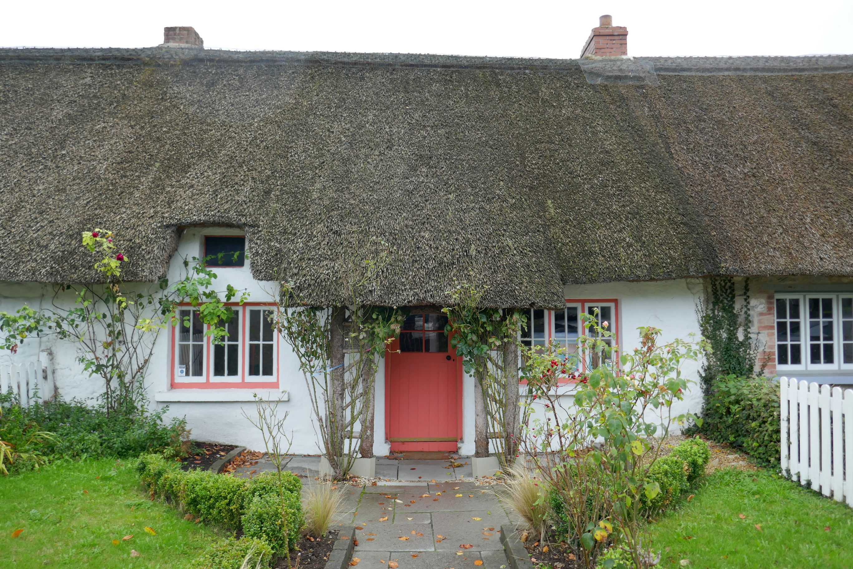
Designated a heritage town by the Irish government, Adare is a tourist destination, but it was just a rest stop for us to stretch our legs and see the thatched cottages along the main street.
(For all photos, click on the image for a full screen view.)
We continued our drive west to Listowel, in County Kerry, where we visited the Kerry Writers Museum for a guided tour and lunch. It was raining, so the timing for an indoor activity couldn’t have been better!
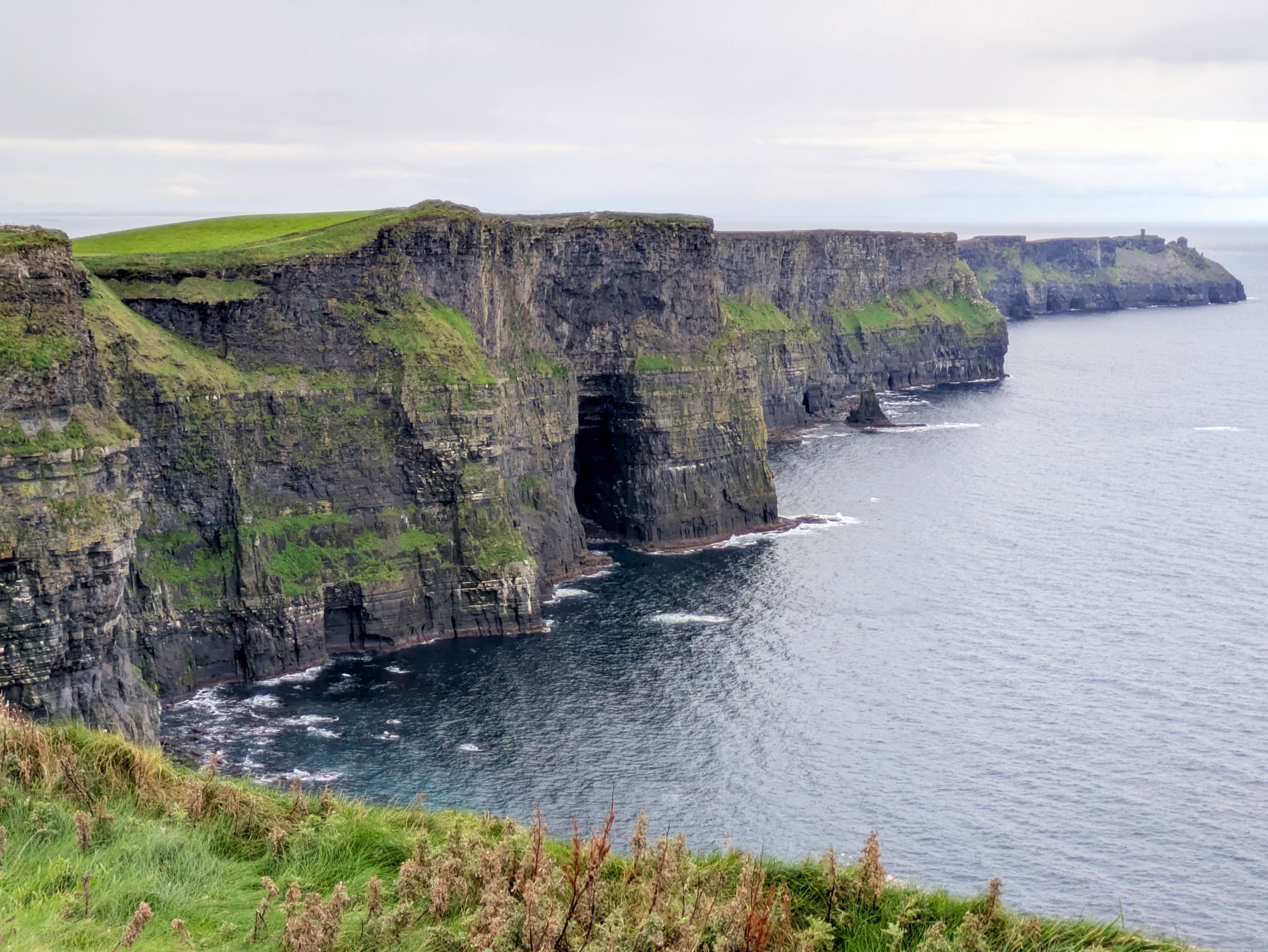
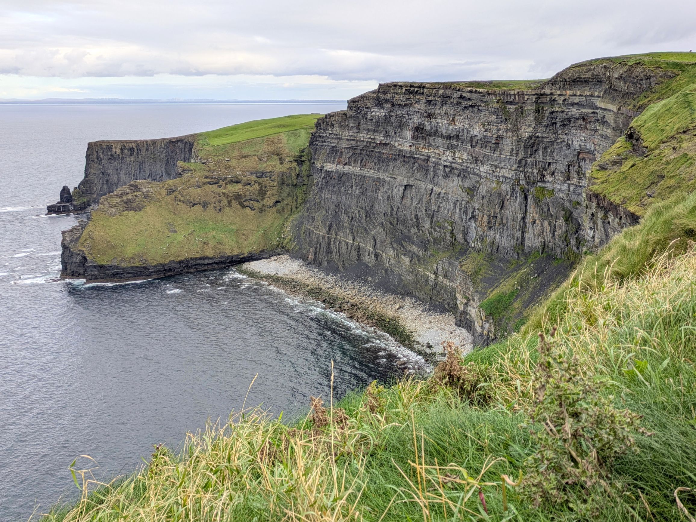
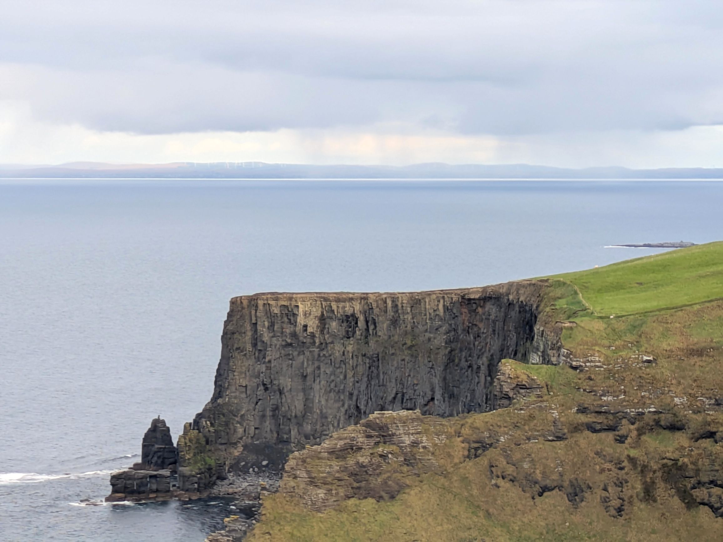
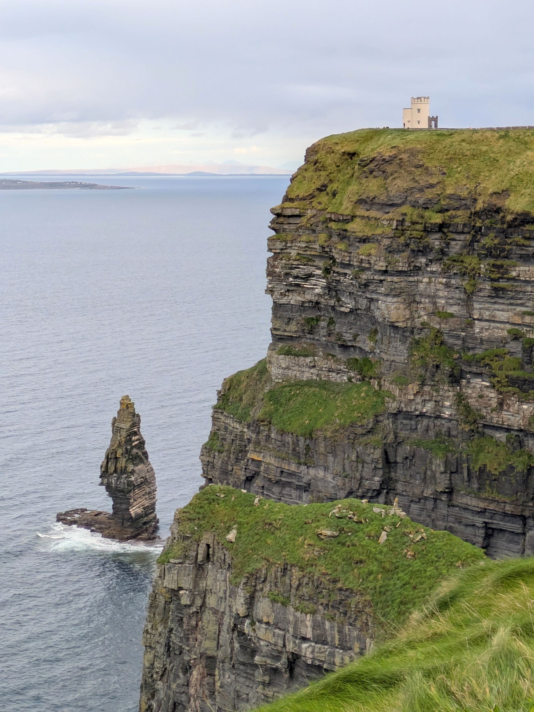
What a majestic sight! Rising 702 feet at their highest point from the Atlantic Ocean, the Cliffs of Moher are one of Ireland’s most iconic landscapes and tourist destinations. These nine-mile-long cliffs, estimated to be 300 million years old, are listed as a UNESCO Global Geopark and are visited by 1.5 million people a year.
The key to avoiding the crowds is to get to the cliffs early, so that we did. Our bus was the second to arrive, so it was a pleasure to have wide open vista points, especially for photography.
The weather at the cliffs can be quite fickle and rainy, so we felt fortunate to have just one short period of sprinkles. Off in the distance, it was raining over Galway Bay and Aran Islands. We felt fortunate those clouds never made it our way!
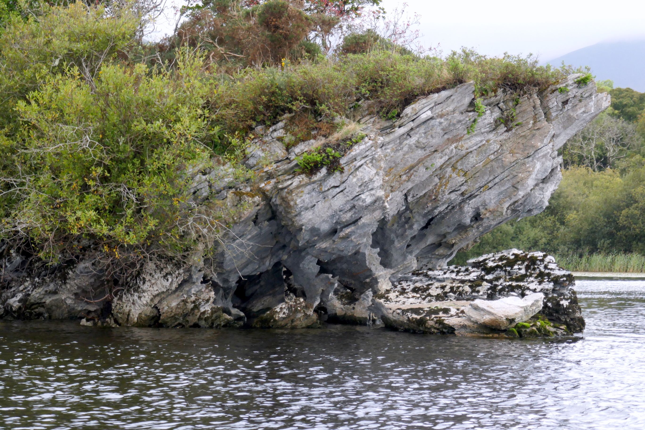
I was mesmerized by the shapes of the cliffs and rock formations carved by the wave action over the years. Erosion has formed caves, sea stacks, sea stumps, and arches—the reason the cliffs have become not only a draw for tourists, but also for film crews for movies, including Harry Potter and the Half-Blood Prince (2009).
(For all photos, click on the image for a full screen view.)
We also visited Caherconnell Fort, a well-preserved stone fort that was inhabited up to the 16th century.
This was the last day of the main tour, so our group met for a farewell dinner and drinks, which in my case was a local cider.
Next up: IRISH ADVENTURE #18: ALONG THE RIVER SHANNON: ADARE & LISTOWEL
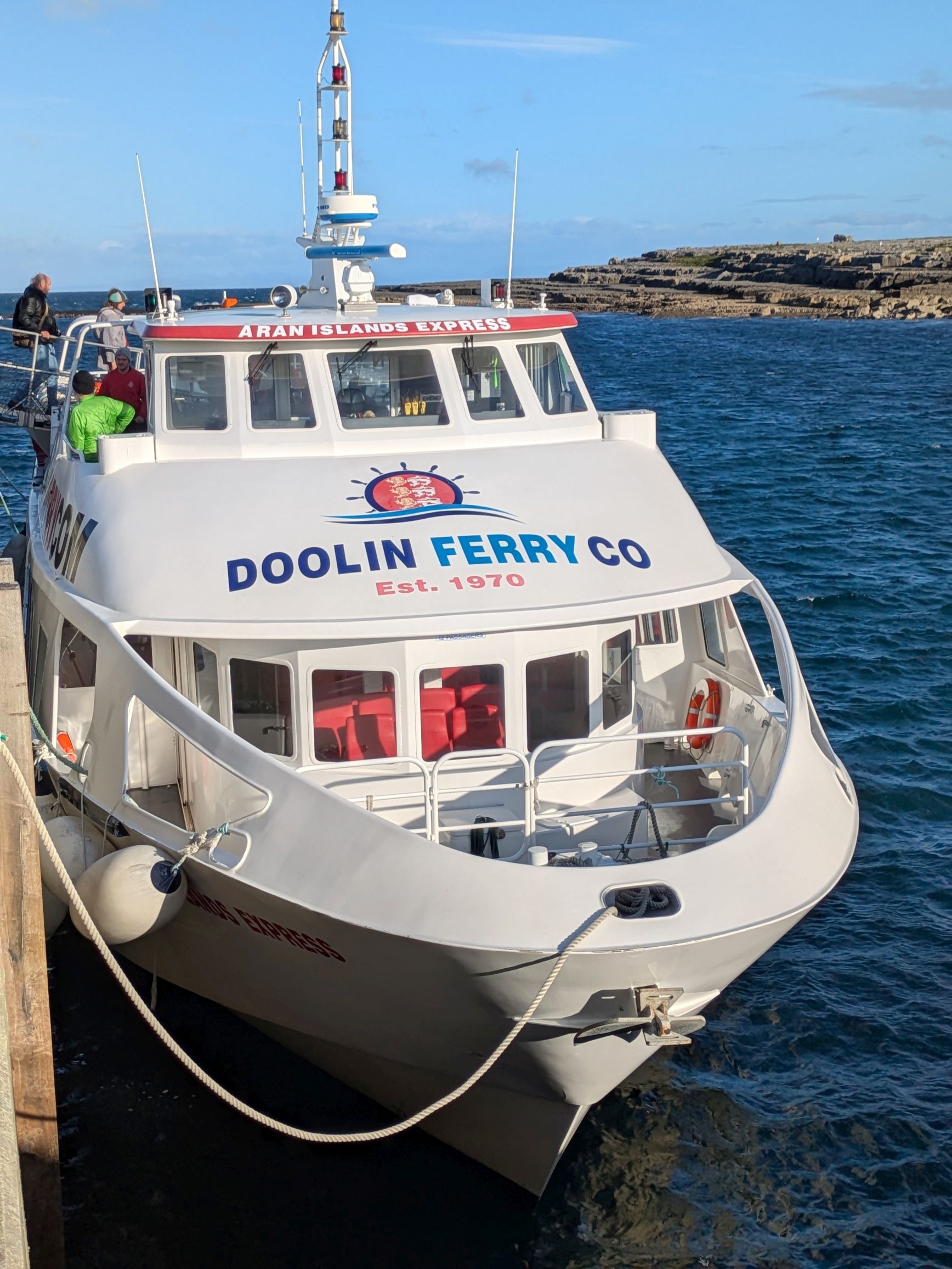
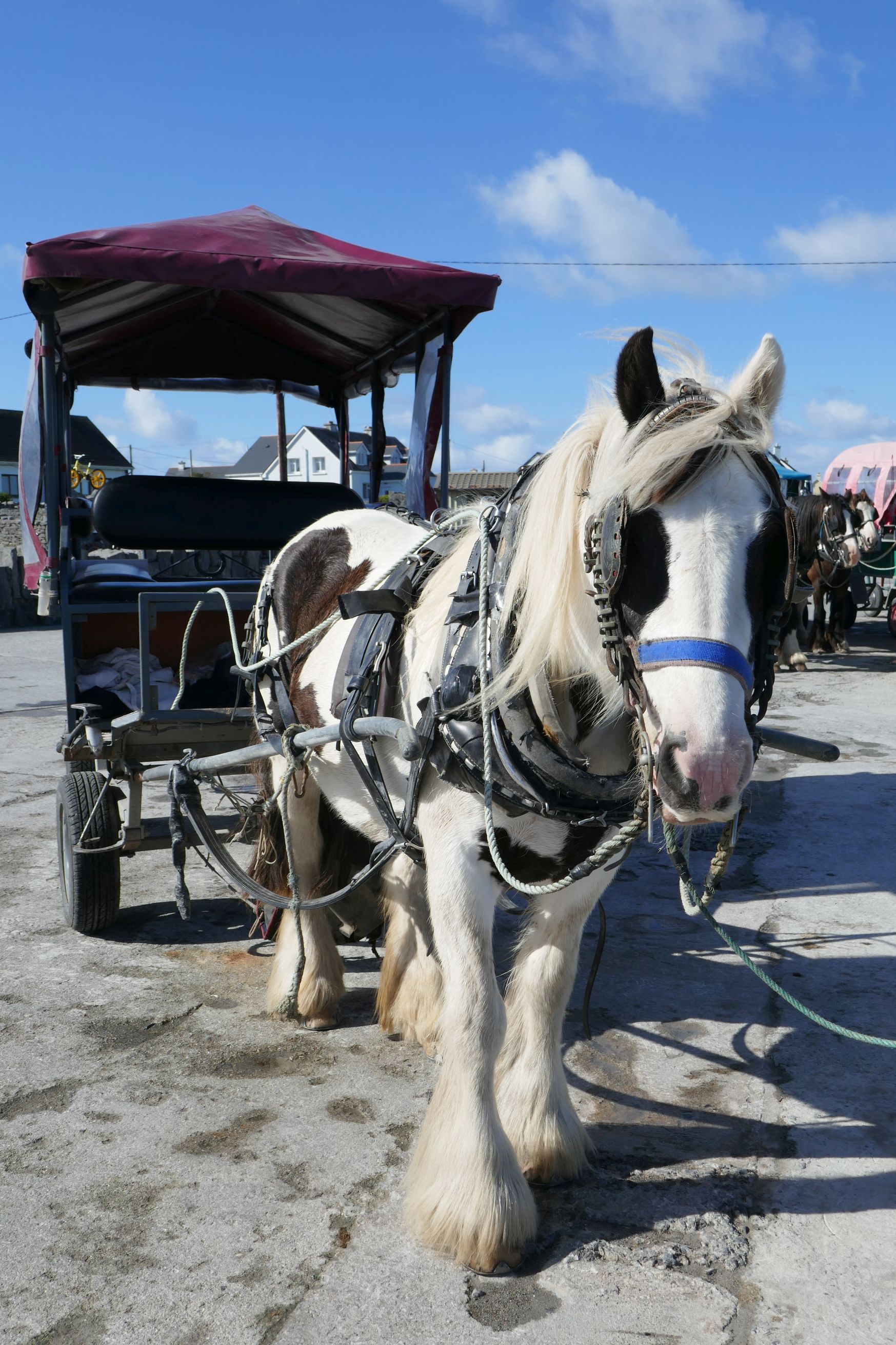
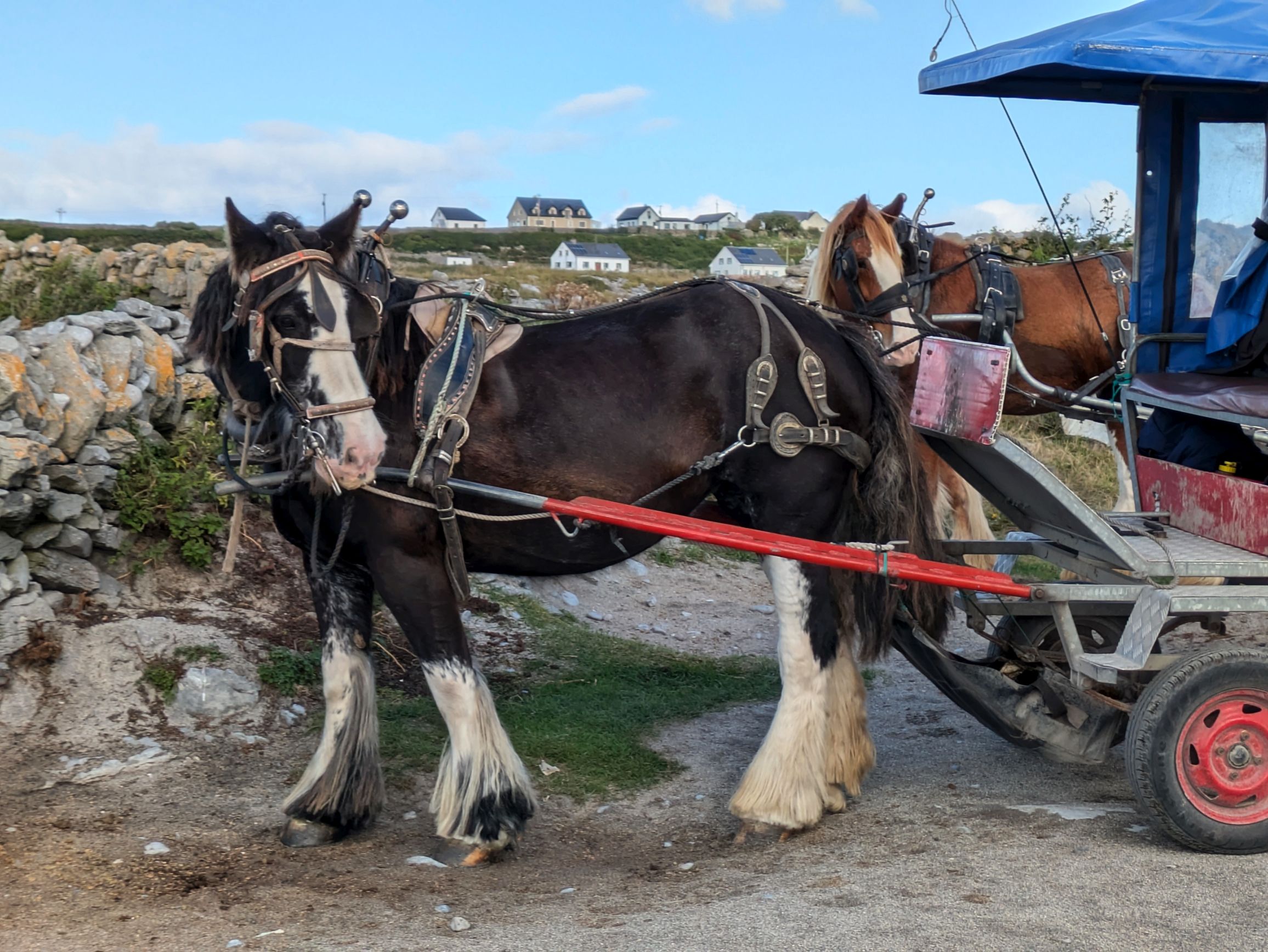
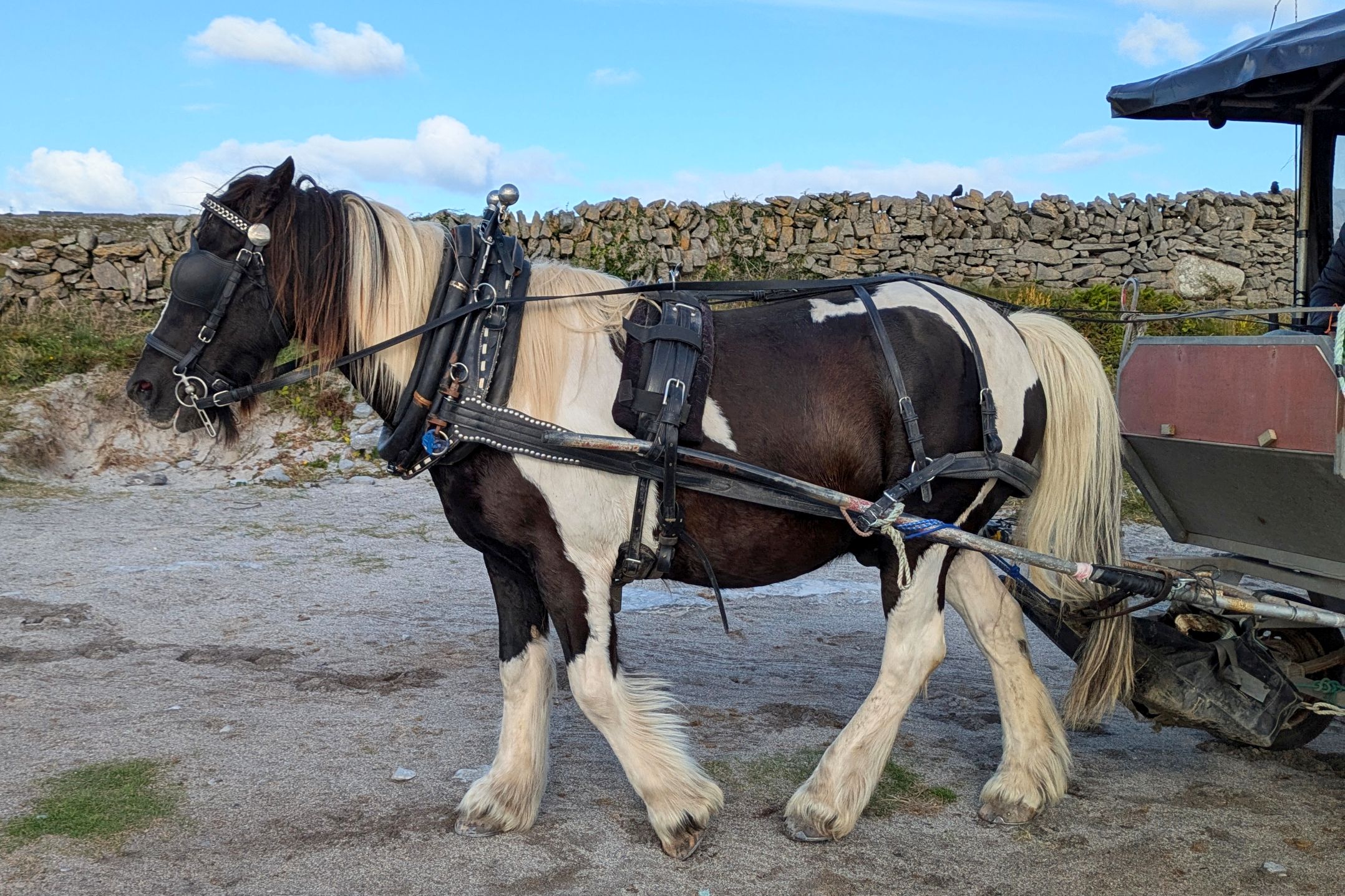
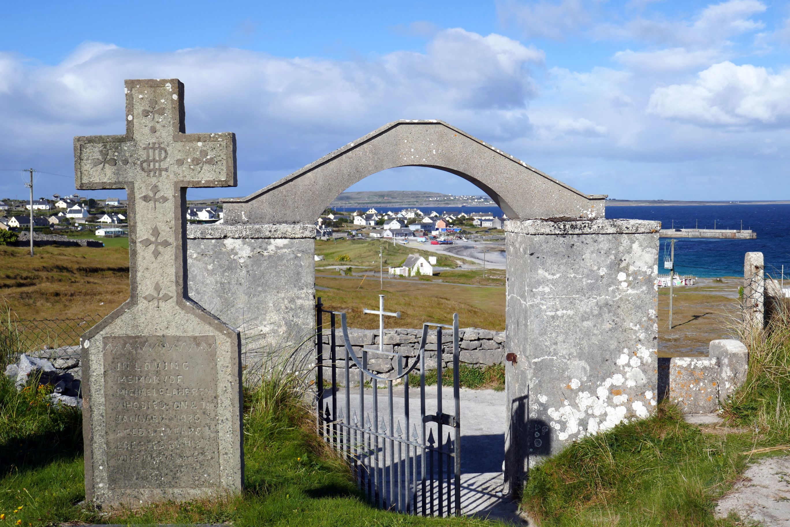
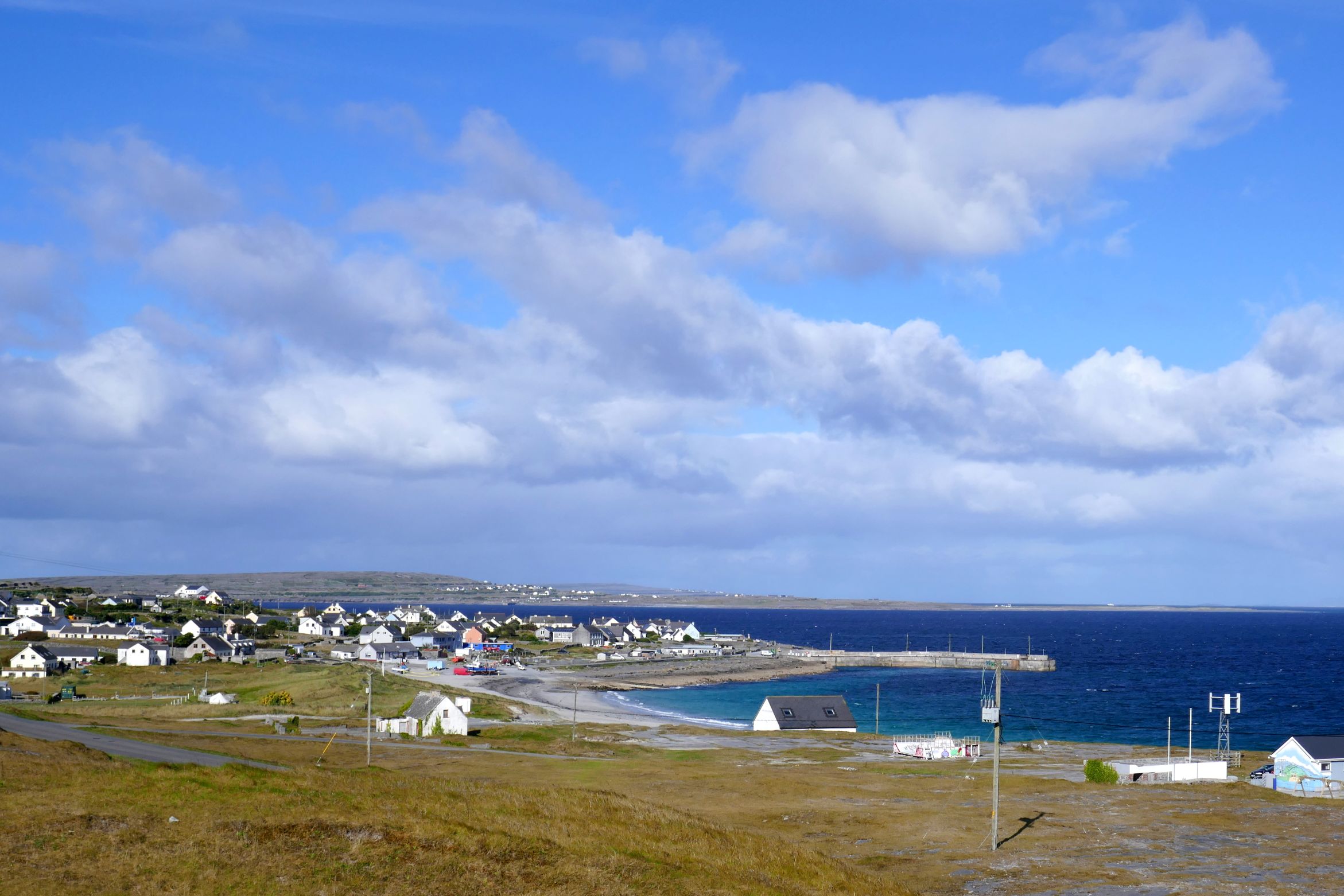
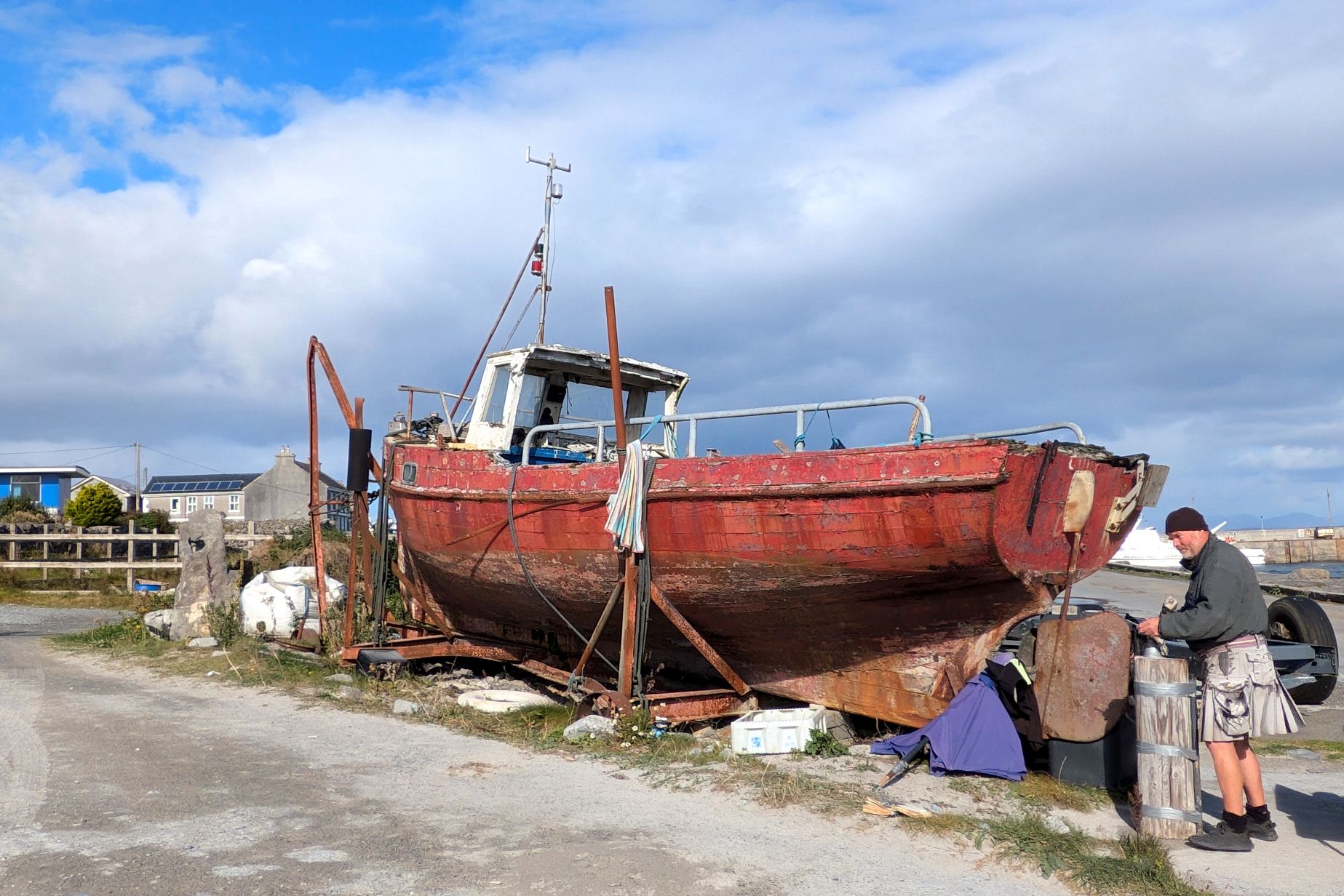
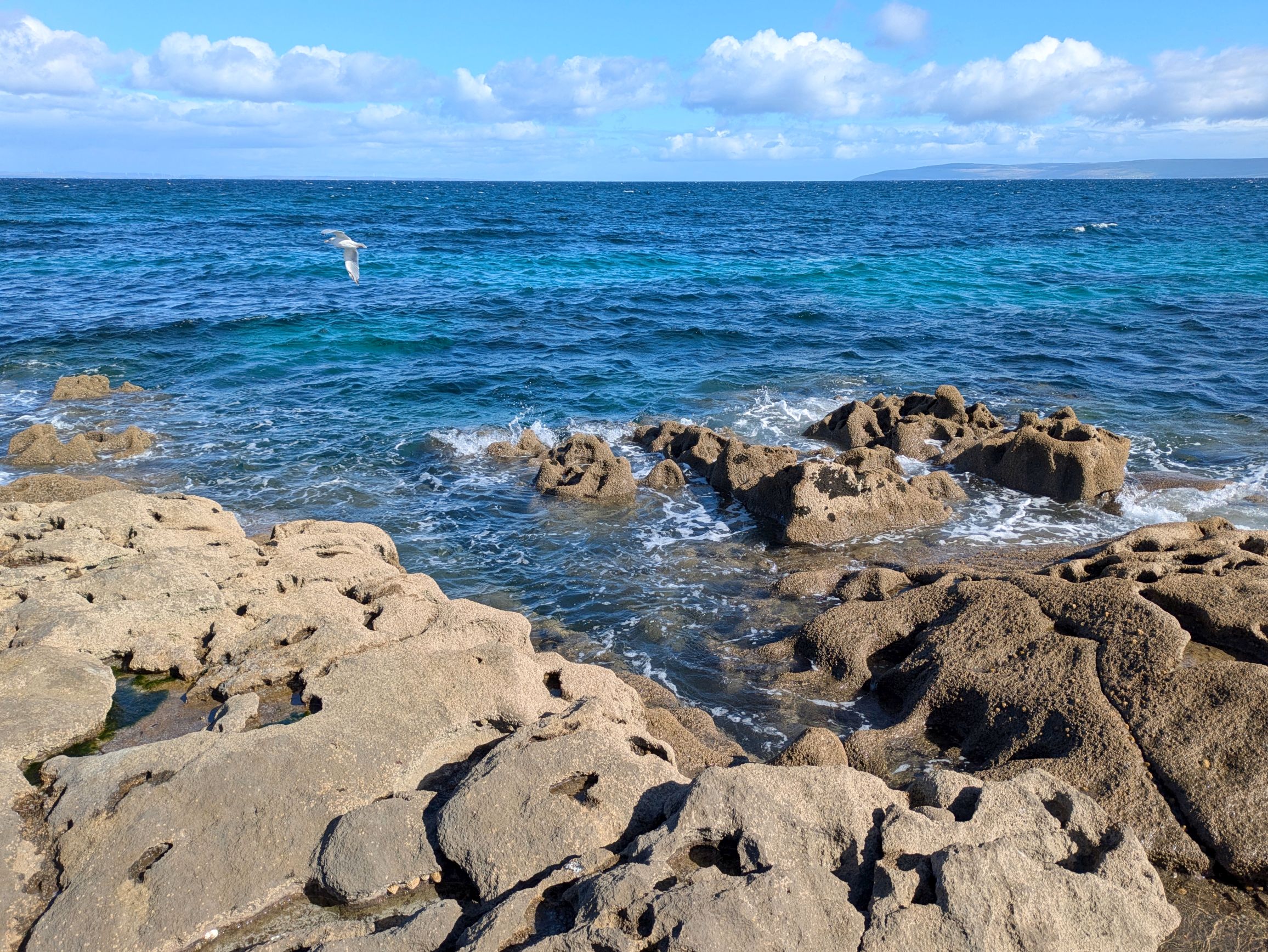
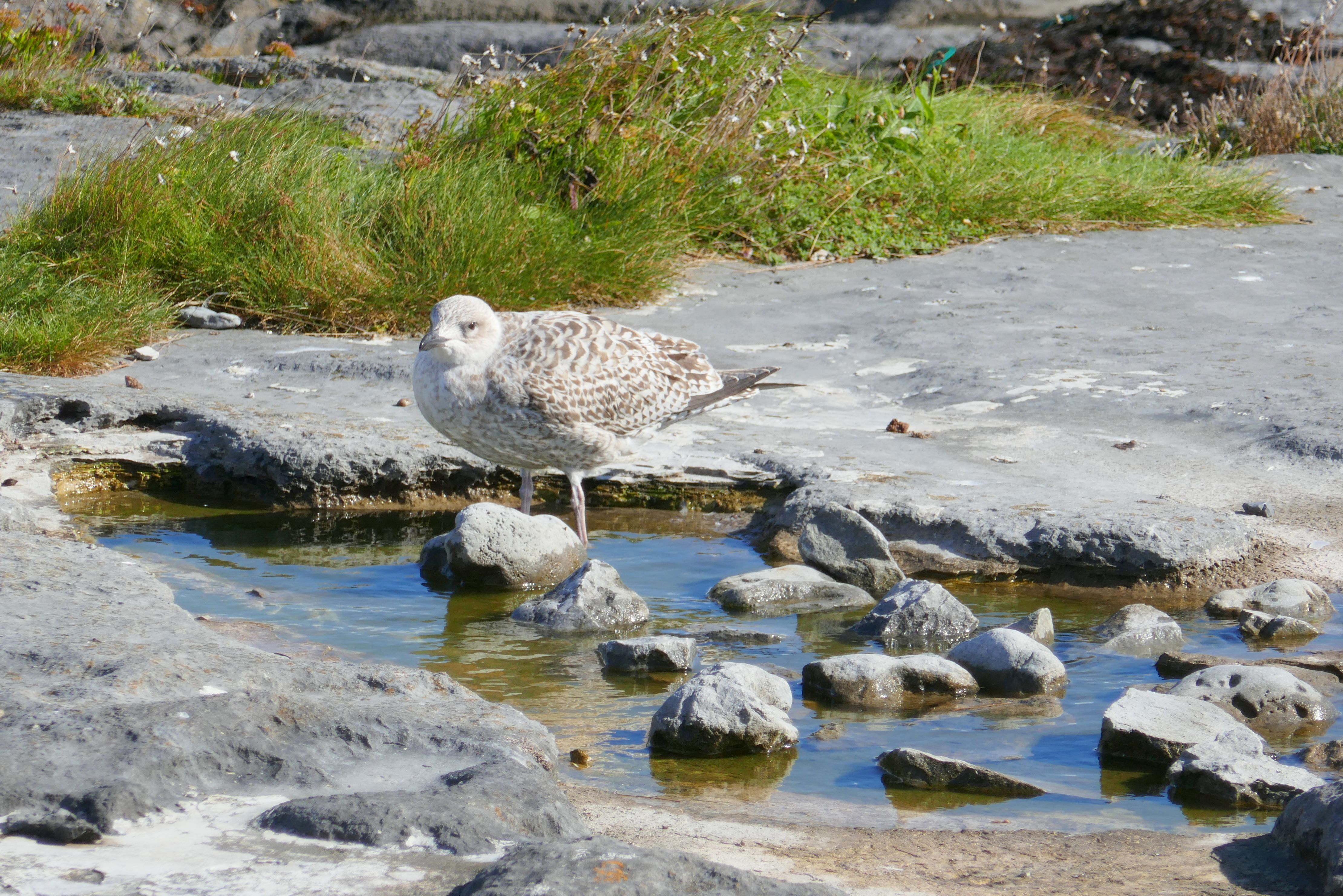
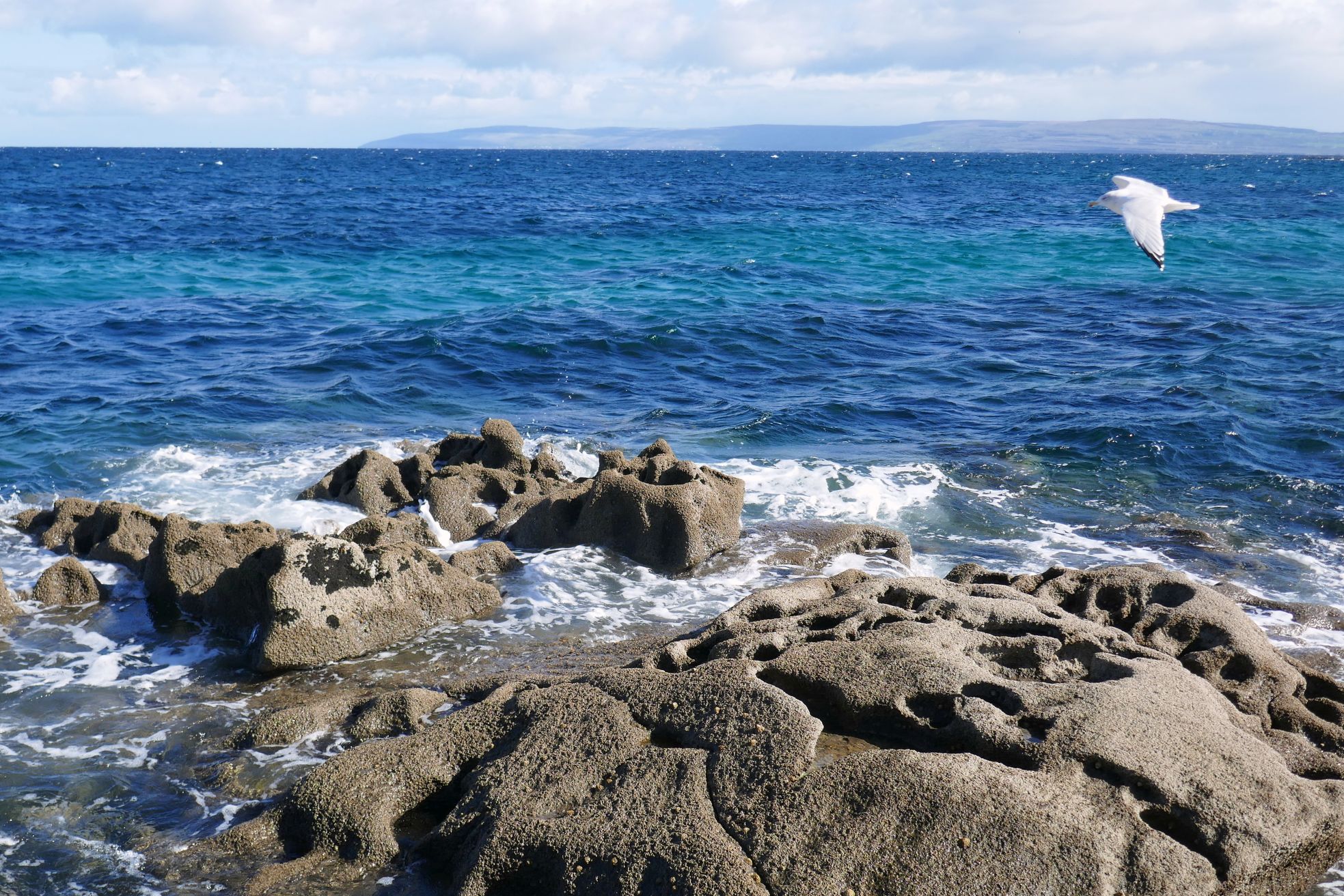
We were fortunate to have beautiful weather and relatively calm seas for our ferry ride from Doolin to Inis Oirr, the smallest of the three Aran Islands in Galway Bay.
The total population of the islands is only 1,347 (as of 2022), and only 347 of them live on Iris Oirr. Irish is their primary language; however, most also speak English.
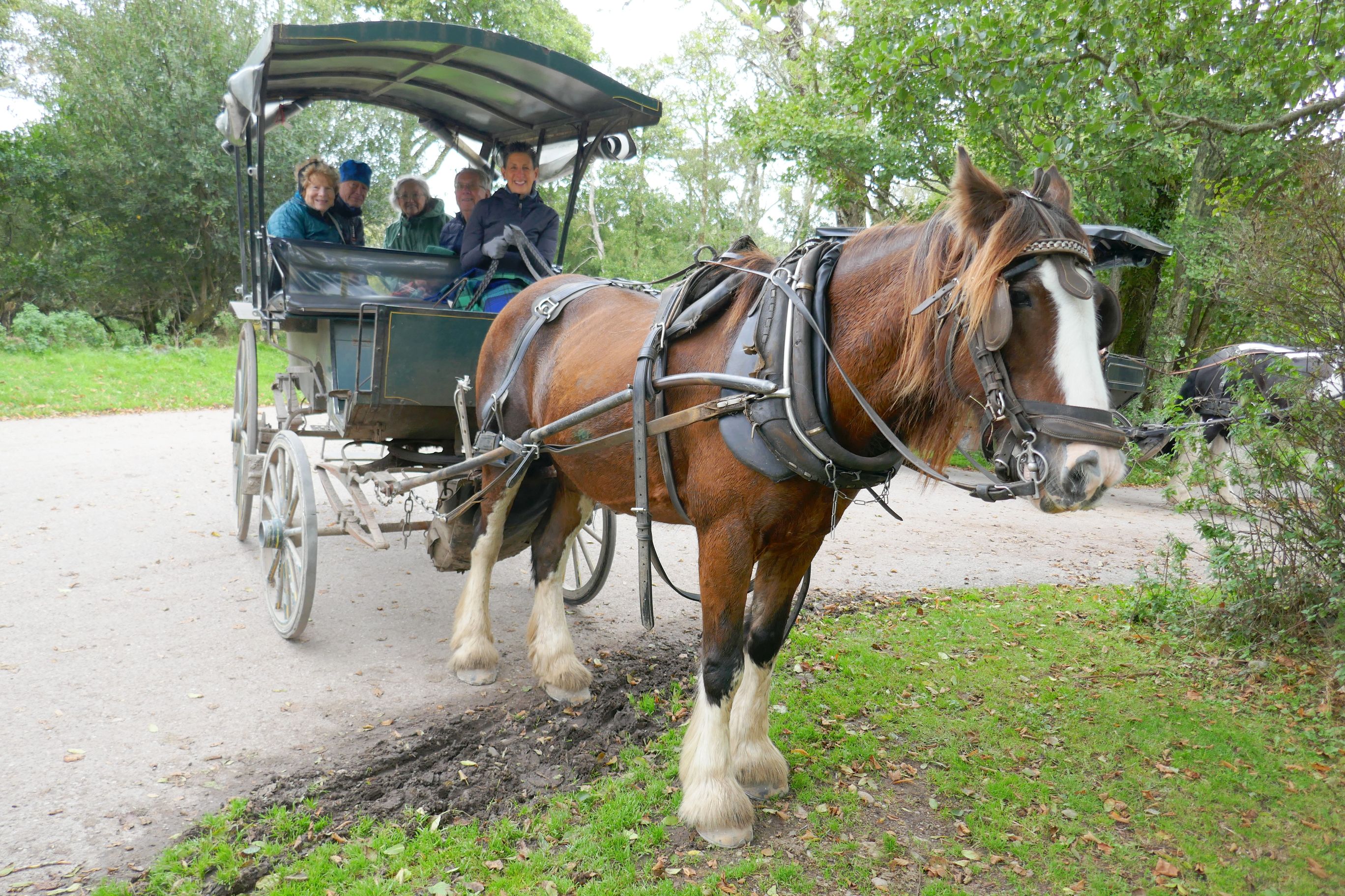
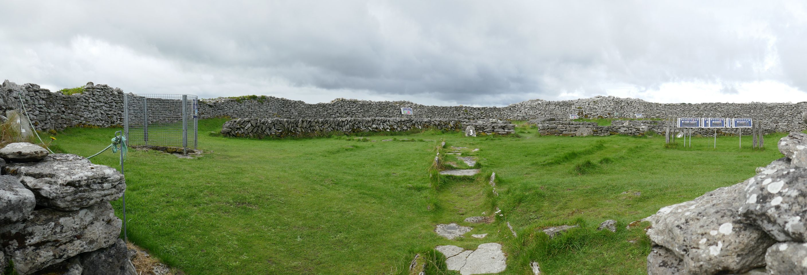
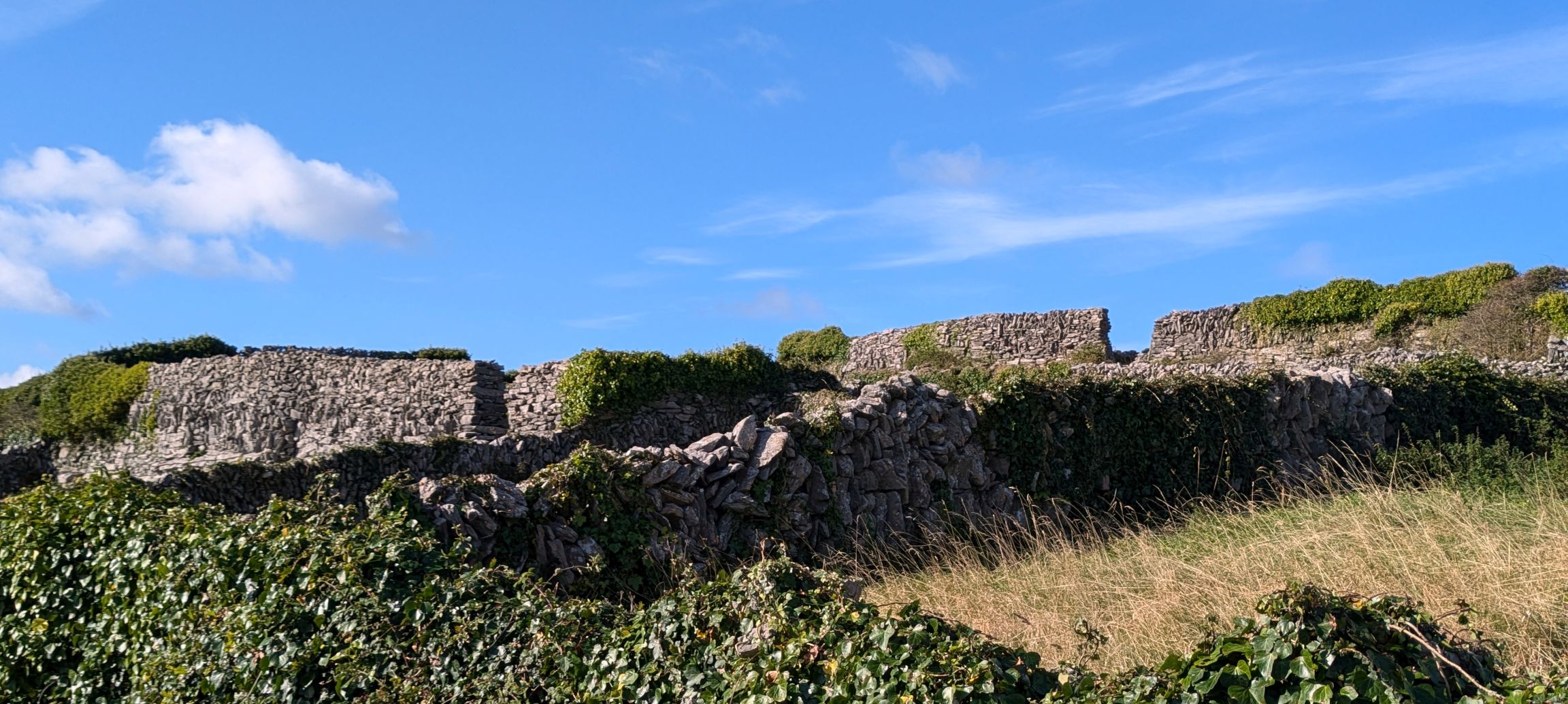
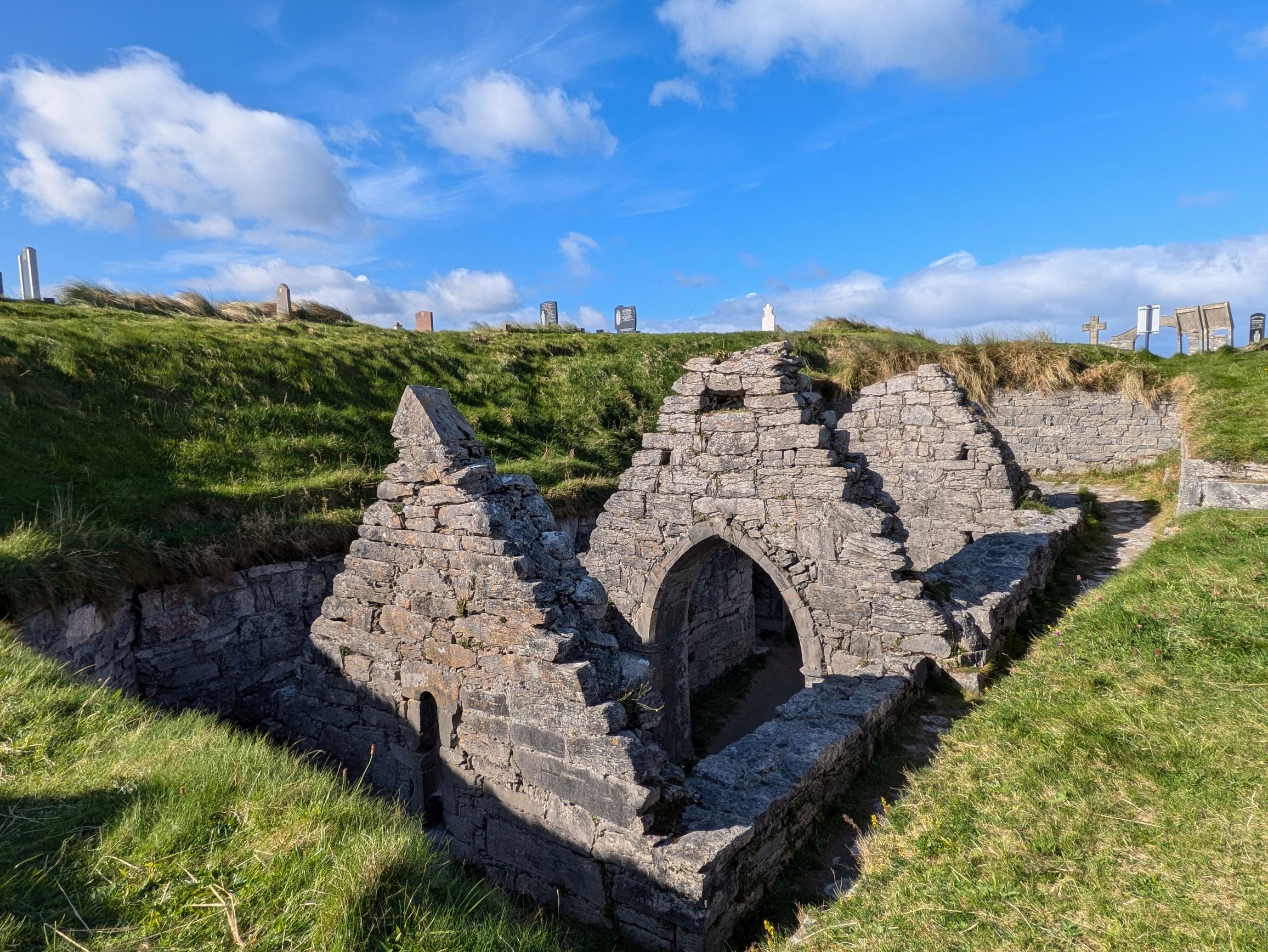
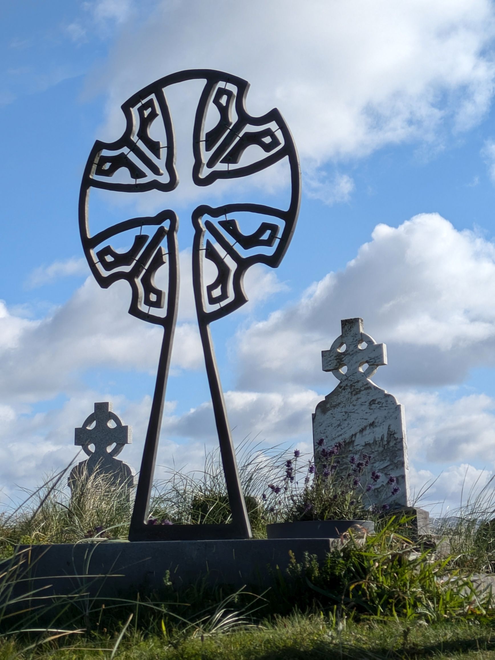
We toured the island by horse drawn wagon and learned about life on Inis Oirr. Early settlers had built dry stone walls to protect the soil for their crops, so we were able to see these walls across the landscape along with prehistoric stone forts that date back to 1100 BC. Other ruins we saw dated back to 1500 BC.
What is amazing about the Aran Islands are the people who are a hearty bunch. Although the climate is unusually temperate (59 degrees in July and 43 degrees in January), the islands are isolated with few opportunities and not much in the way of goods and services. As a result, the population has dwindled; but, those who have remained have made the best of it.
Back in the 1900’s, the locals knitted sweaters to sell for income. Children learned very young, knitting sweaters beginning at the age of 5. Currently, in addition to earning income from the sweaters they knit and sell, tourism has contributed to their economy. Between the ferries bringing tourists for the day and tours aboard horse drawn wagons, the island can get busy on a nice day during high season.
The ferries also serve as transportation to the mainland for the locals to go shopping, visit doctors, and take care of other necessities.
If you prefer, you can fly between County Galway and the Aran Islands, a seven-minute flight aboard a Britten-Norman BN-2 Islander, a ten-seat plane operated by Aer Arann Islands.
Would you like to know what life was like in the Aran Islands back in 1971? National Geographic did a spread in their April issue, “The Arans, Ireland’s Invincible Isles.” We saw a copy at the little café where we enjoyed lunch and learning more about life in the islands.
If you go to the Aran Islands, make sure to stop by the Man of Aran Fudge stand and pick up some fudge. It’s delicious!
(For all photos, click on the image for a full screen view.)
During the evening, back in Ennis, our group of 14 split up into three for our home-hosted dinner at three homes. We visited Paula and her sister, Helene, and were greeted by a beautiful rainbow when we arrived. (Another rainbow!).
Dinner was wonderful and the conversation spirited; Helene was hilarious—and, very opinionated. This was back in September as the United States’s presidential campaign was in full-swing, and she had a thing or two (or three) to say about one of the candidates—yeah, that one.
Now, when it comes to the unofficial (but sort of official) “rules” on an Overseas Adventure Travel tour, American politics (and other controversial topics) are off the table for discussion, as to keep peace in the group. But, Bruce and I knew we were on the same page with the gals from our tour as well as our hosts that we all gladly broke the “rules.” It was a blast! We all got so involved in our conversation that we lost track of time. When John came to pick us up, Paula told him to “Go away!” That didn’t fly after several minutes of putting him off, so we hugged Paula and Helene and sadly said our goodbyes.
I can only imagine what they think of American politics now…
Coming up next: IRISH ADVENTURE #17: THE CAPTIVATING CLIFFS OF MOHER
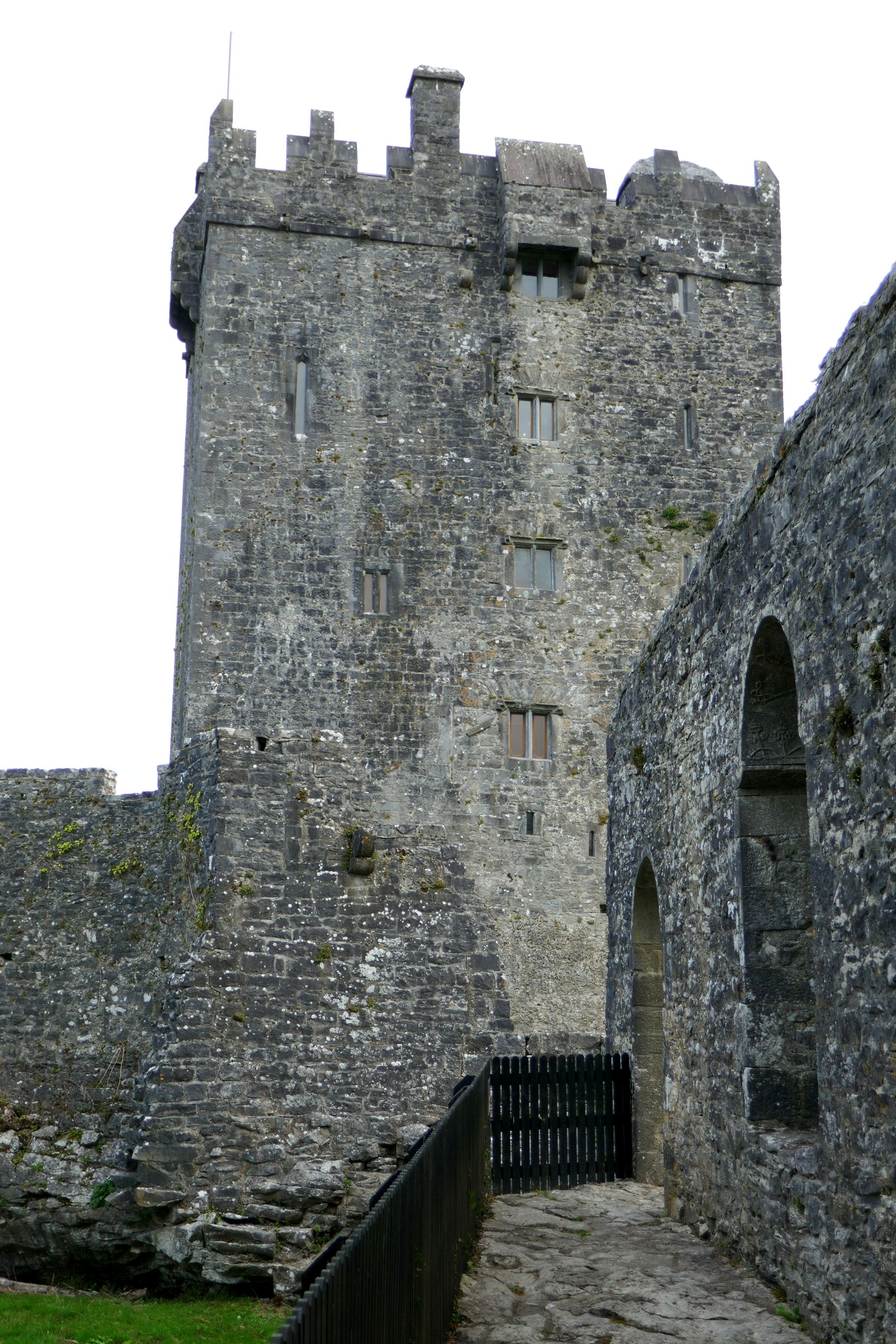
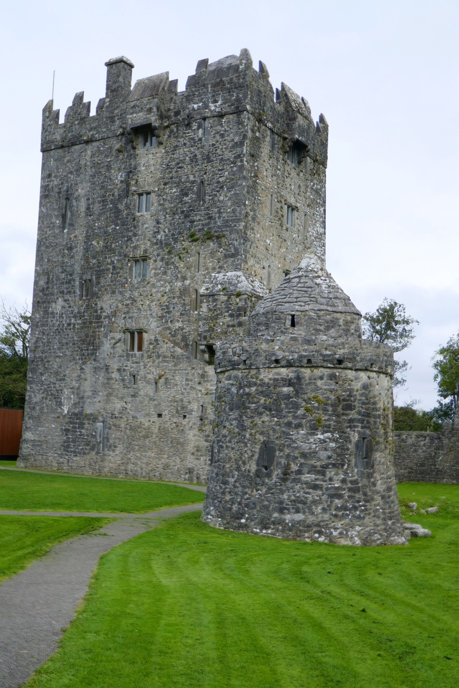
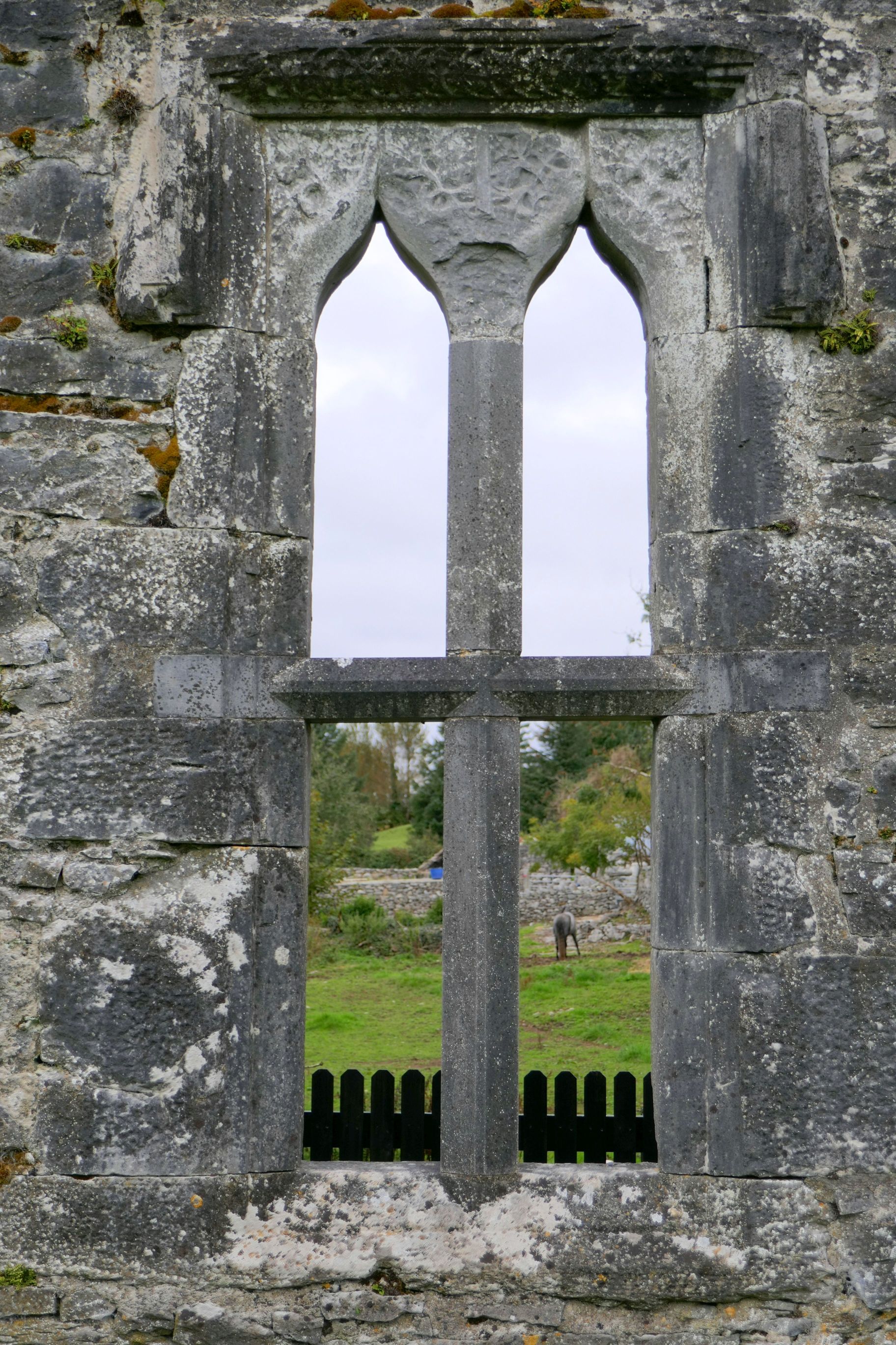
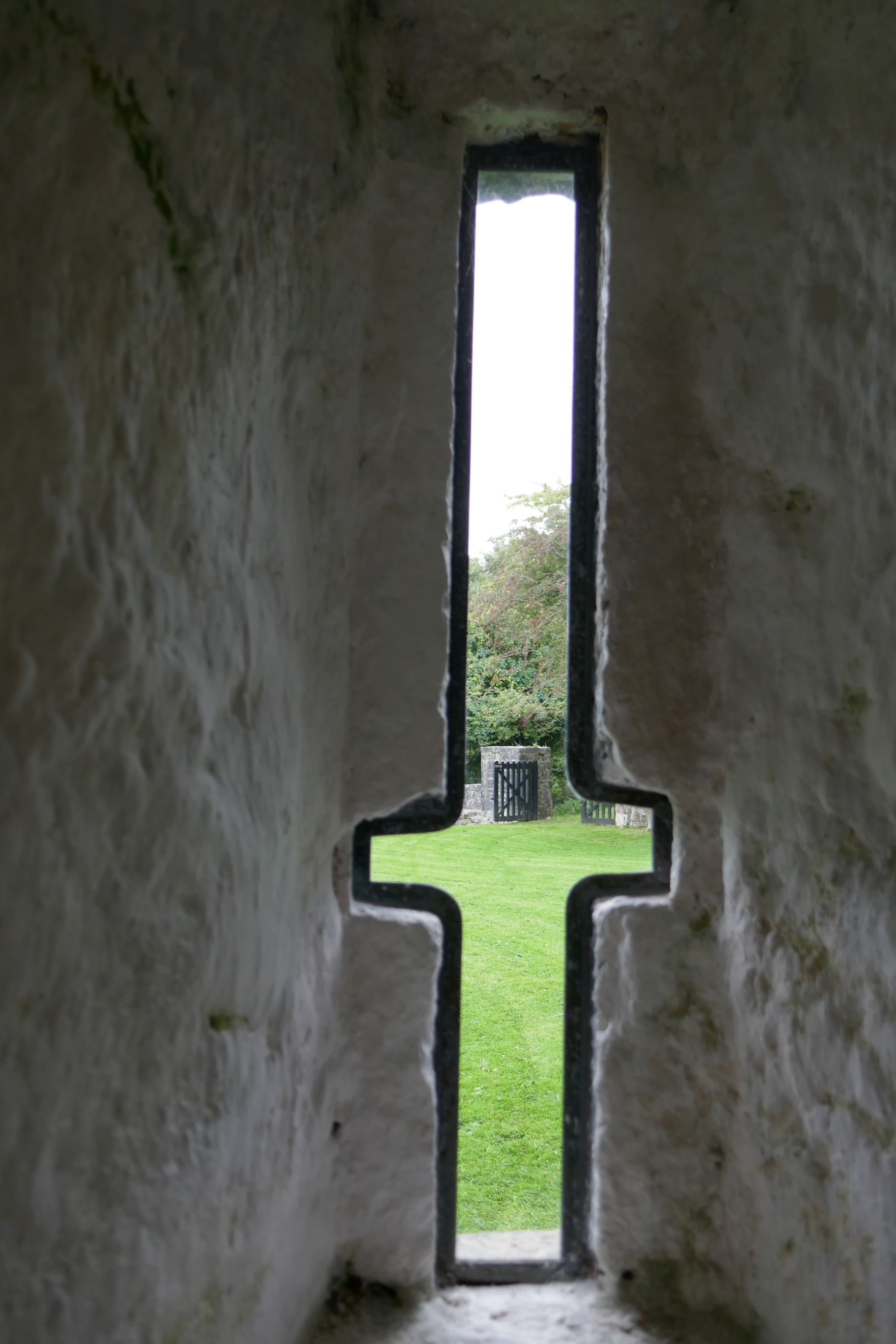
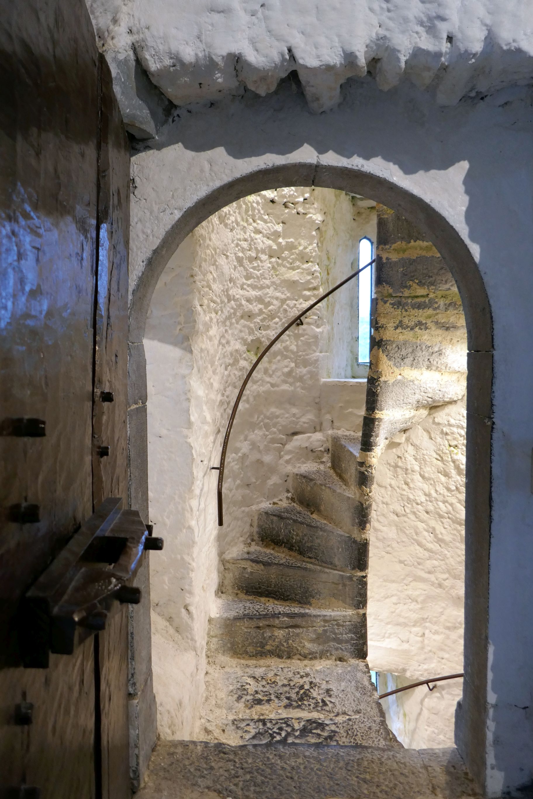
On the way to Galway, we stopped for a guided tour of Aughnanure Castle, in County Galway. Built by the O’Flaherty family in the late 15th century, this tower house was fully restored in the 1960’s.
For all photos, click on the image for a full screen view.)
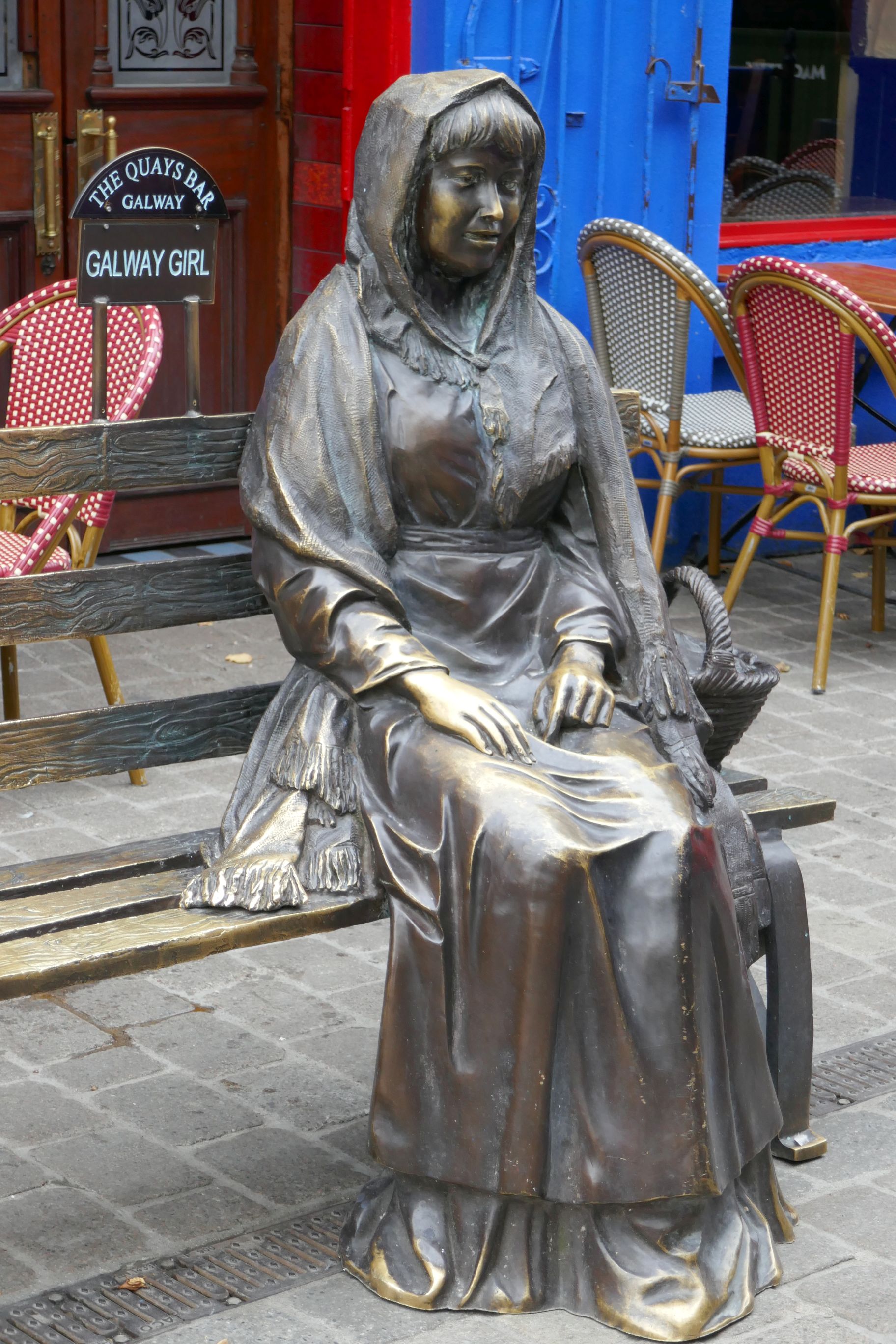
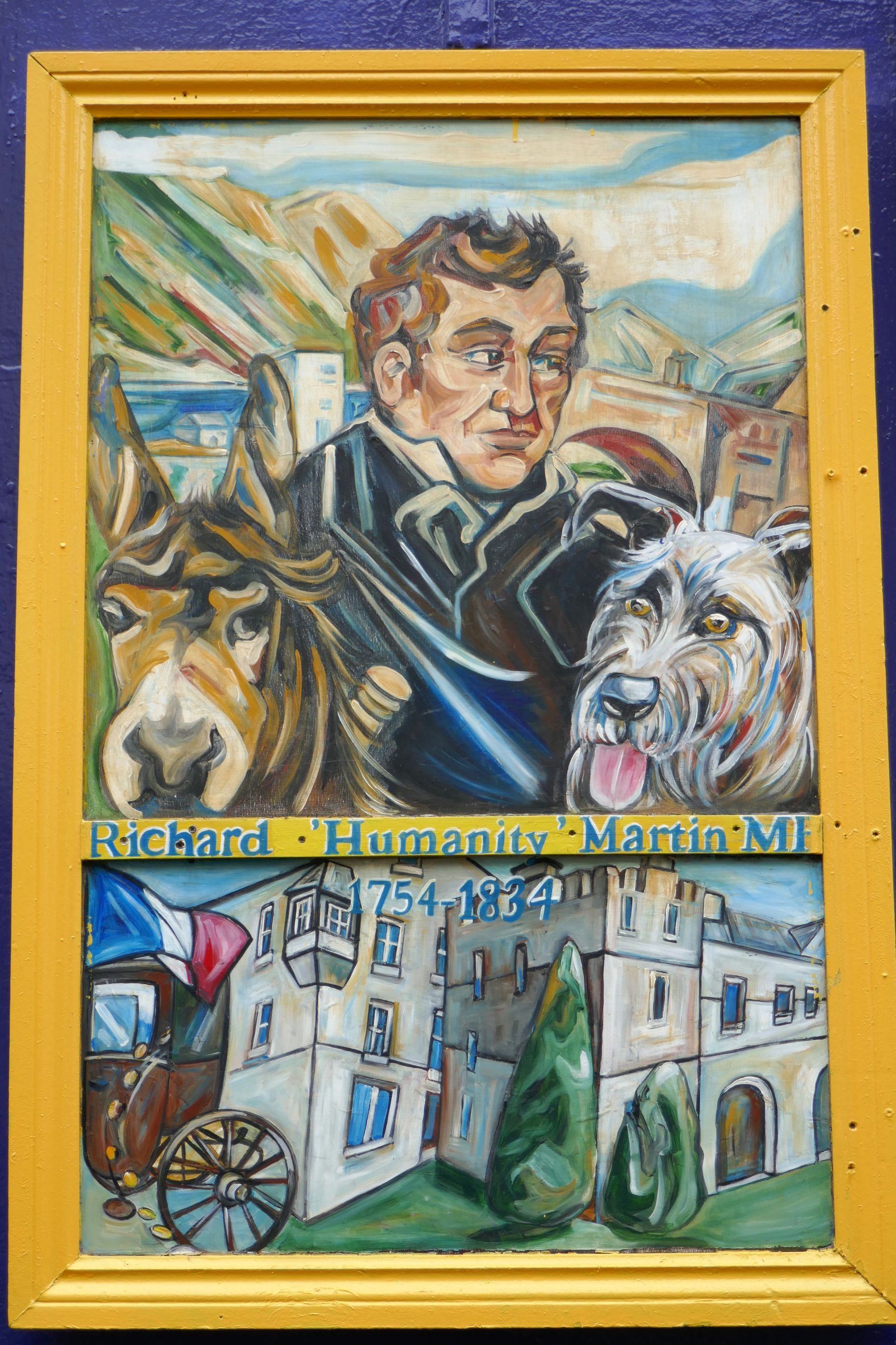
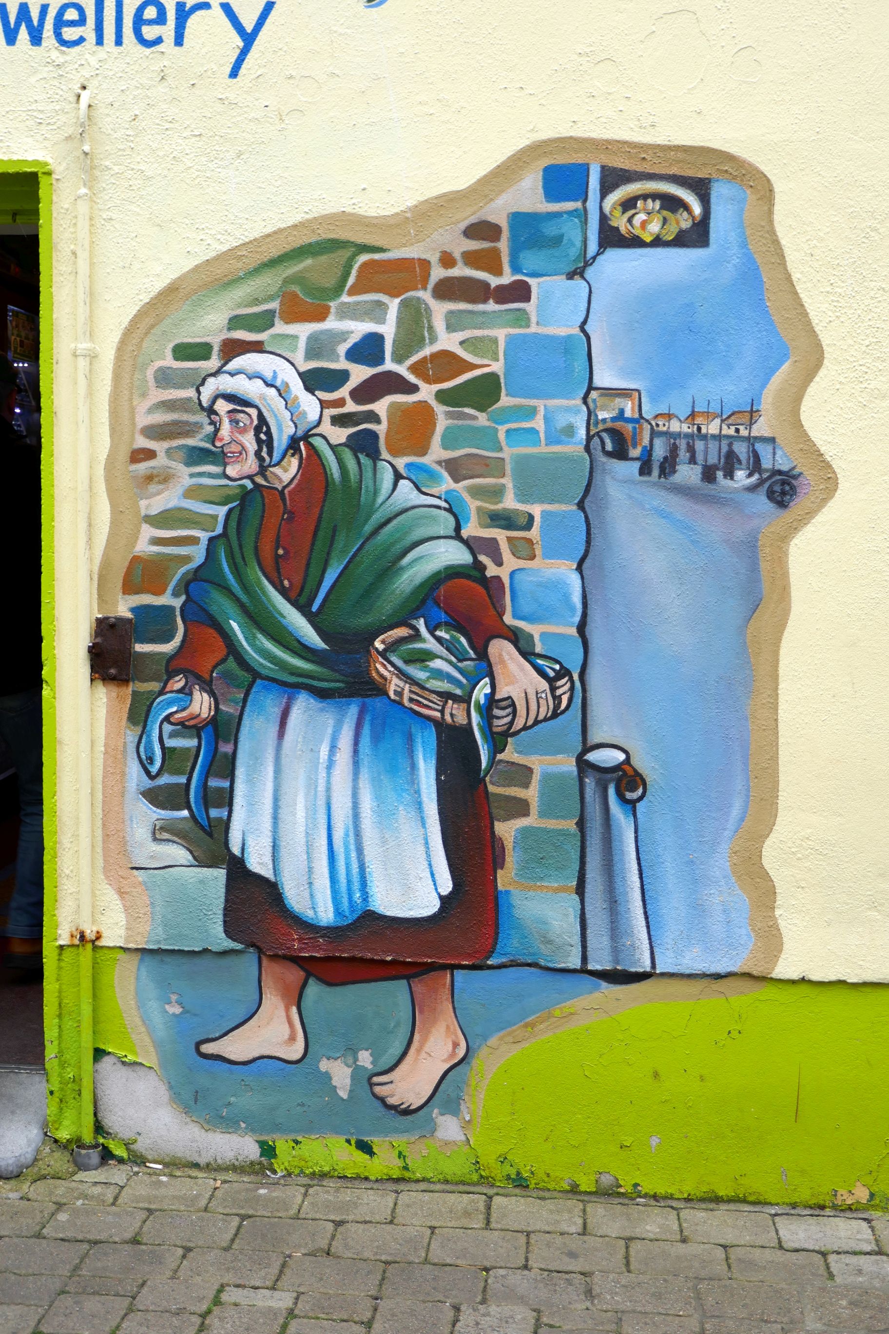
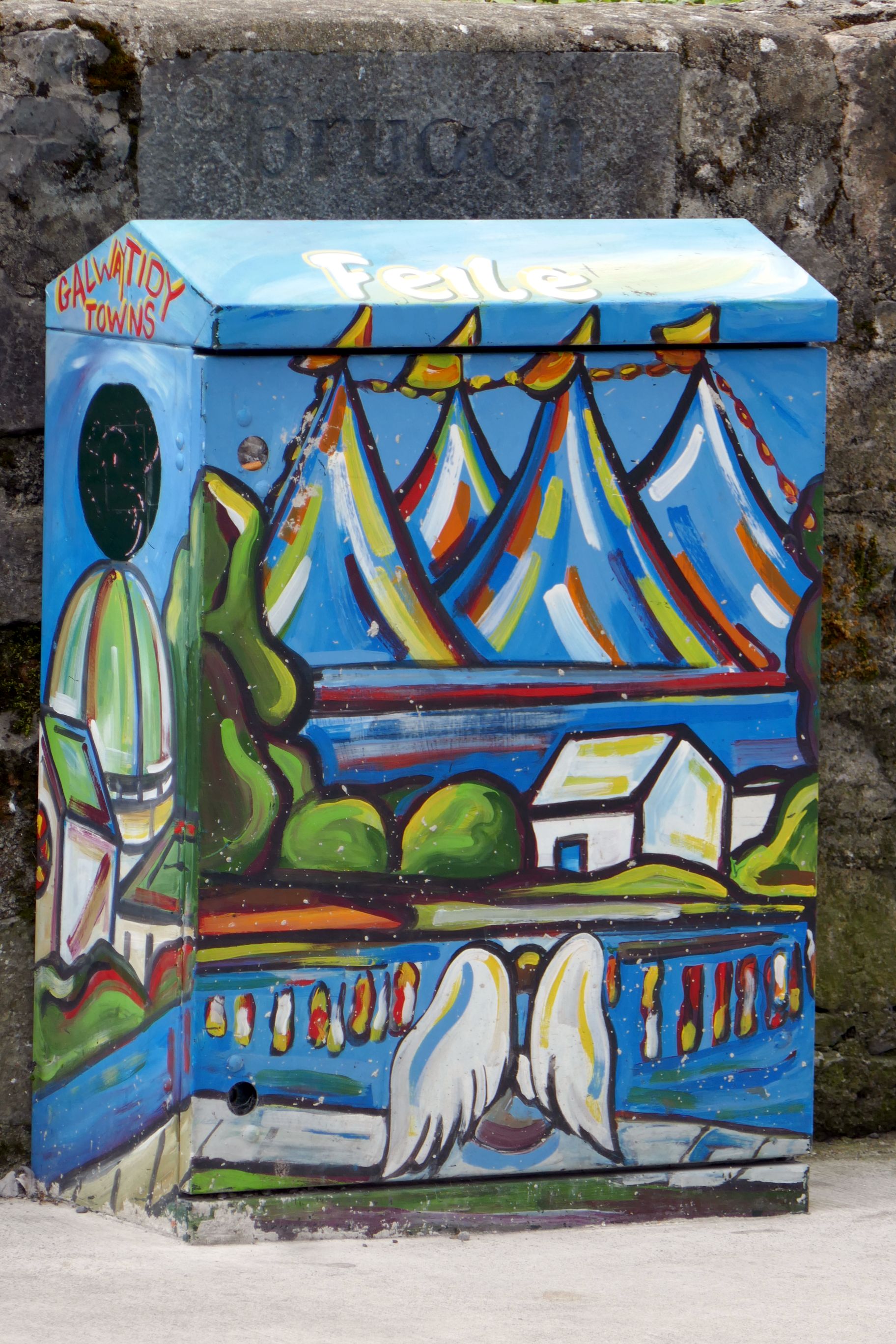
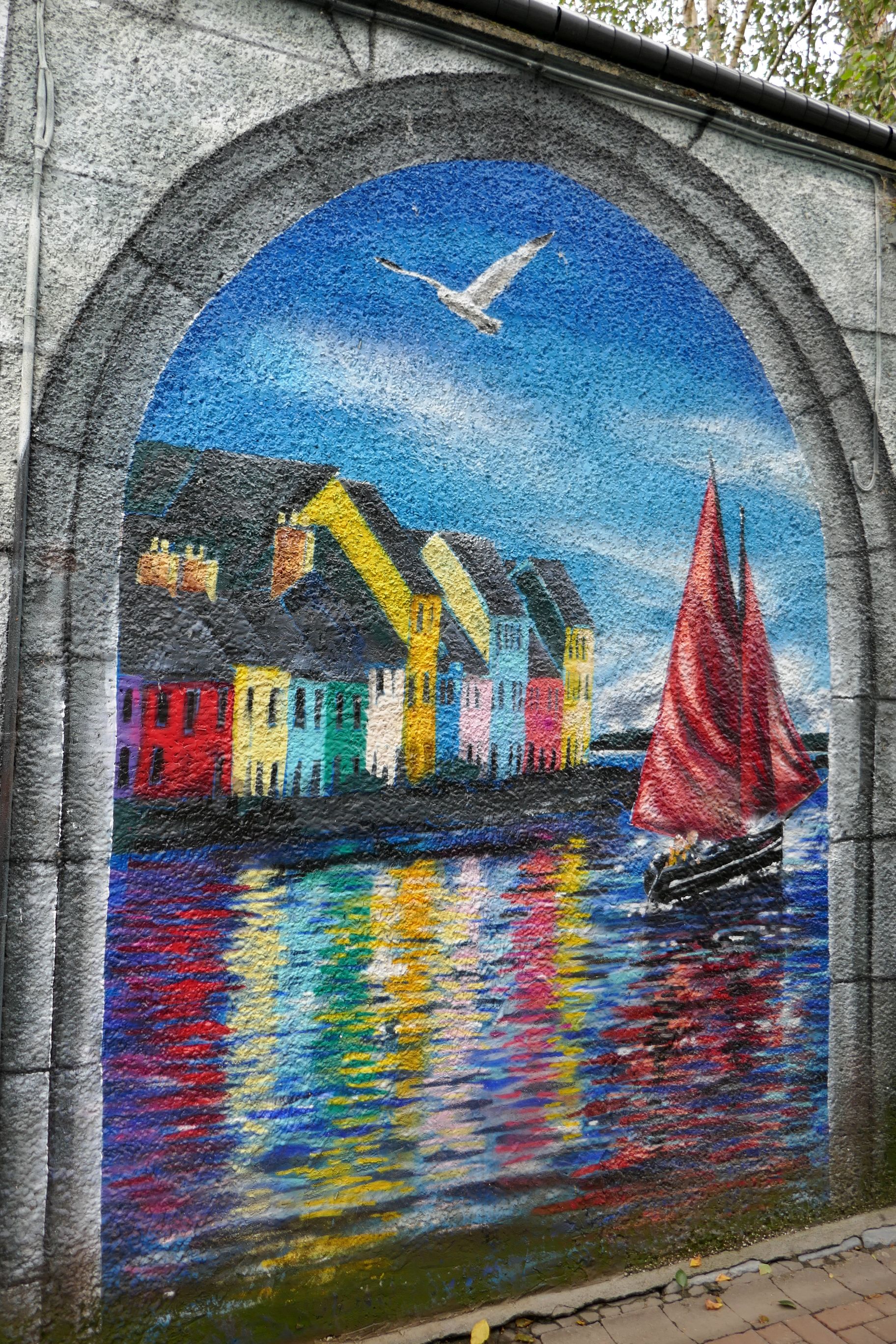
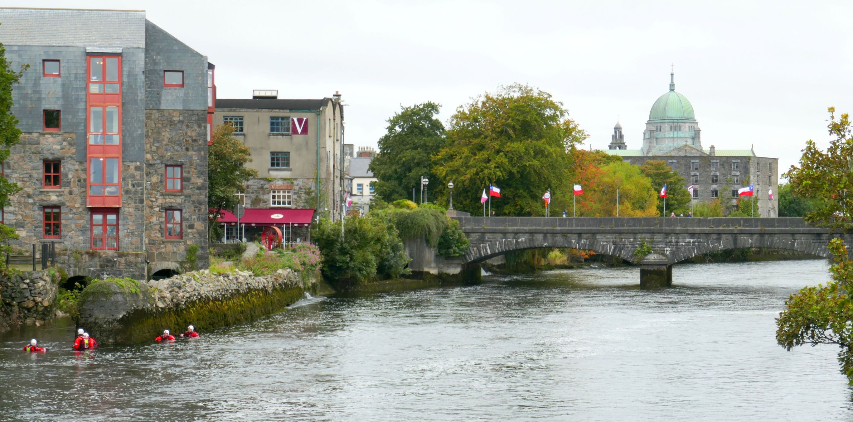
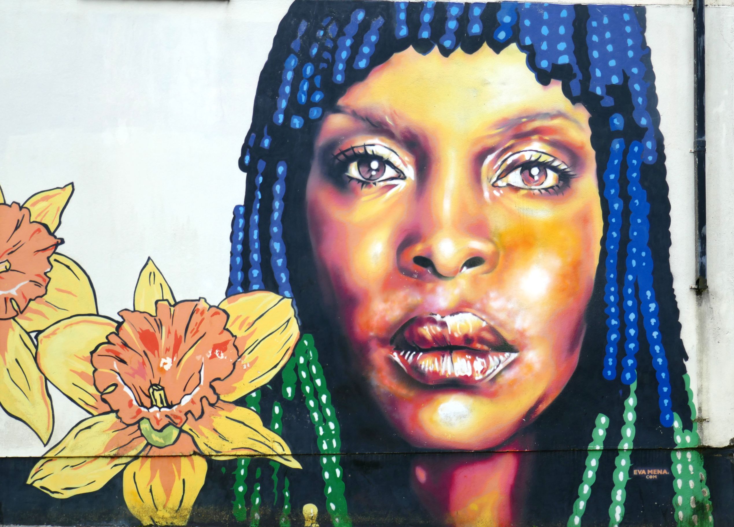
Onward ho to Galway we go! Galway, in County Galway, is a vibrant city of about 85,000 people of which 36% are students. There are two universities, so the city has a young, hip, artsy vibe. It is known unofficially as the capital of west Ireland, so it draws plenty of tourists, especially on Quay Street, the pedestrian street where artists, street musicians, students, and tourists all mix.
We enjoyed exploring the walkable, compact city center that spans both sides of the River Corrib. On this day, it appeared as if a rescue training exercise was taking place in the river: