While researching Ireland, the Dingle Peninsula and Ring of Kerry kept coming up as a favorite destination for natural beauty and photography; so, it was a no-brainer to book the post-trip extension. The town of Dingle, which I wrote about in my previous post, alone made it worthwhile, but this day on the Dingle Peninsula was spectacular!
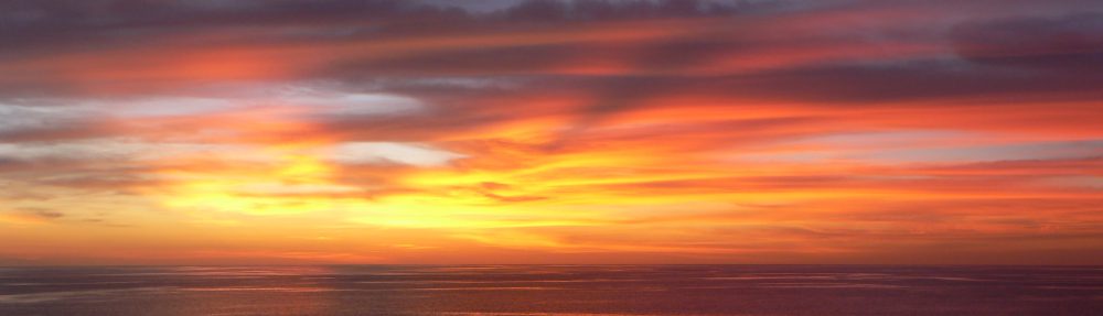
The morning weather was quite dynamic, beginning with a tumultuous sky that threatened to ruin our day. Although it rained for a short period, it was drop-dead gorgeous for the remainder of the day.
(For all photos, click on the image for a full screen view.)


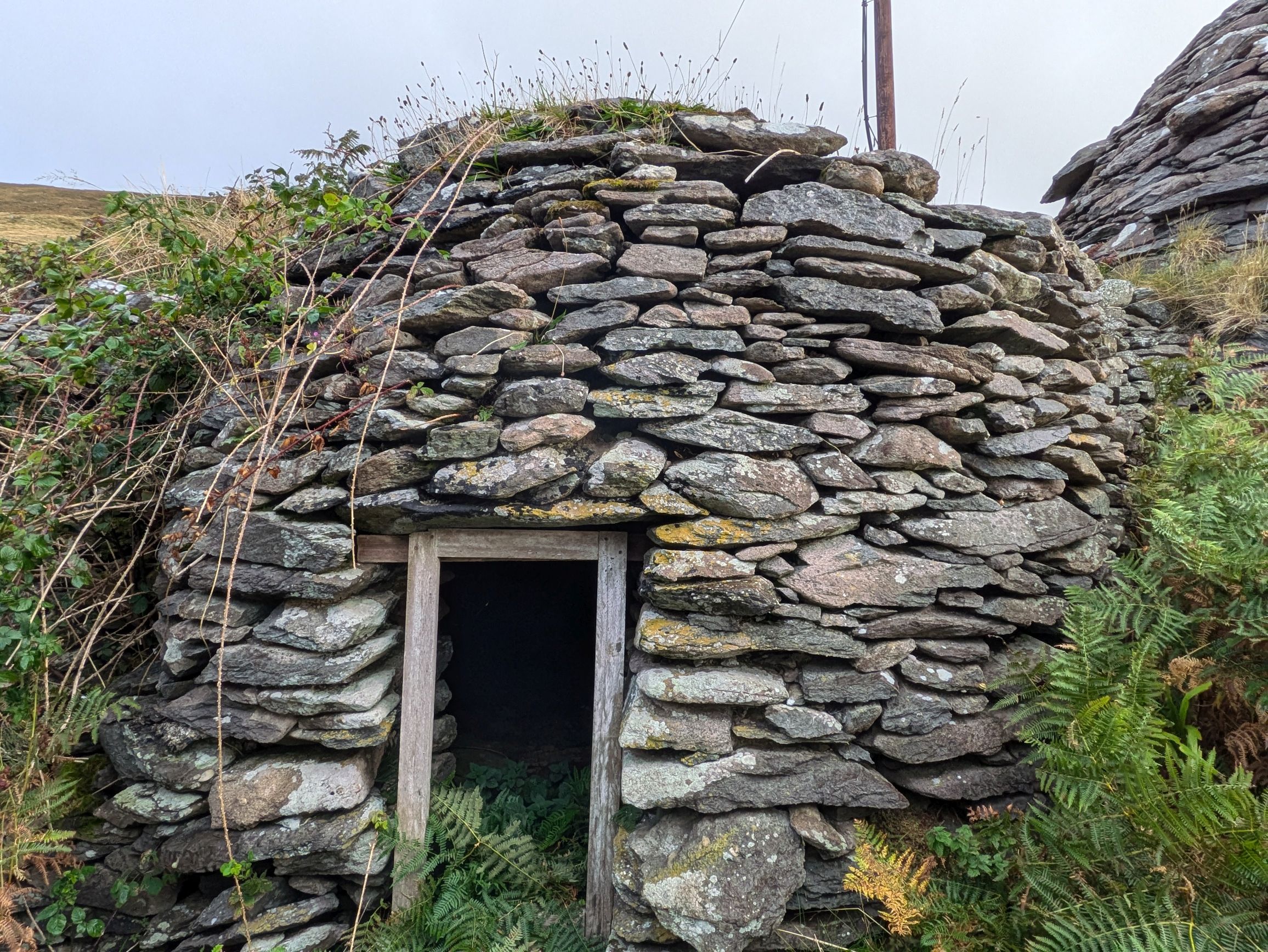
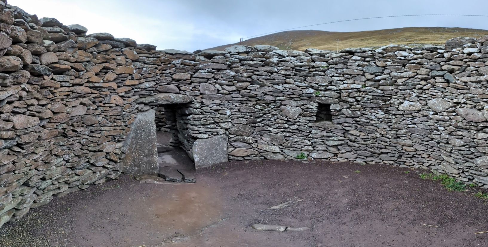
Our morning began in Slea Head, the westernmost point in Ireland, to see ancient beehive-shaped dry-stone huts located on what is now a small sheep farm. It was amazing to see how meticulously these huts were constructed, by stacking the rings of stone so that each layer went further inward until a pointed roof was formed to cap the structure. Nobody knows just how old these huts are, because this method of construction was used in Ireland for thousands of years.


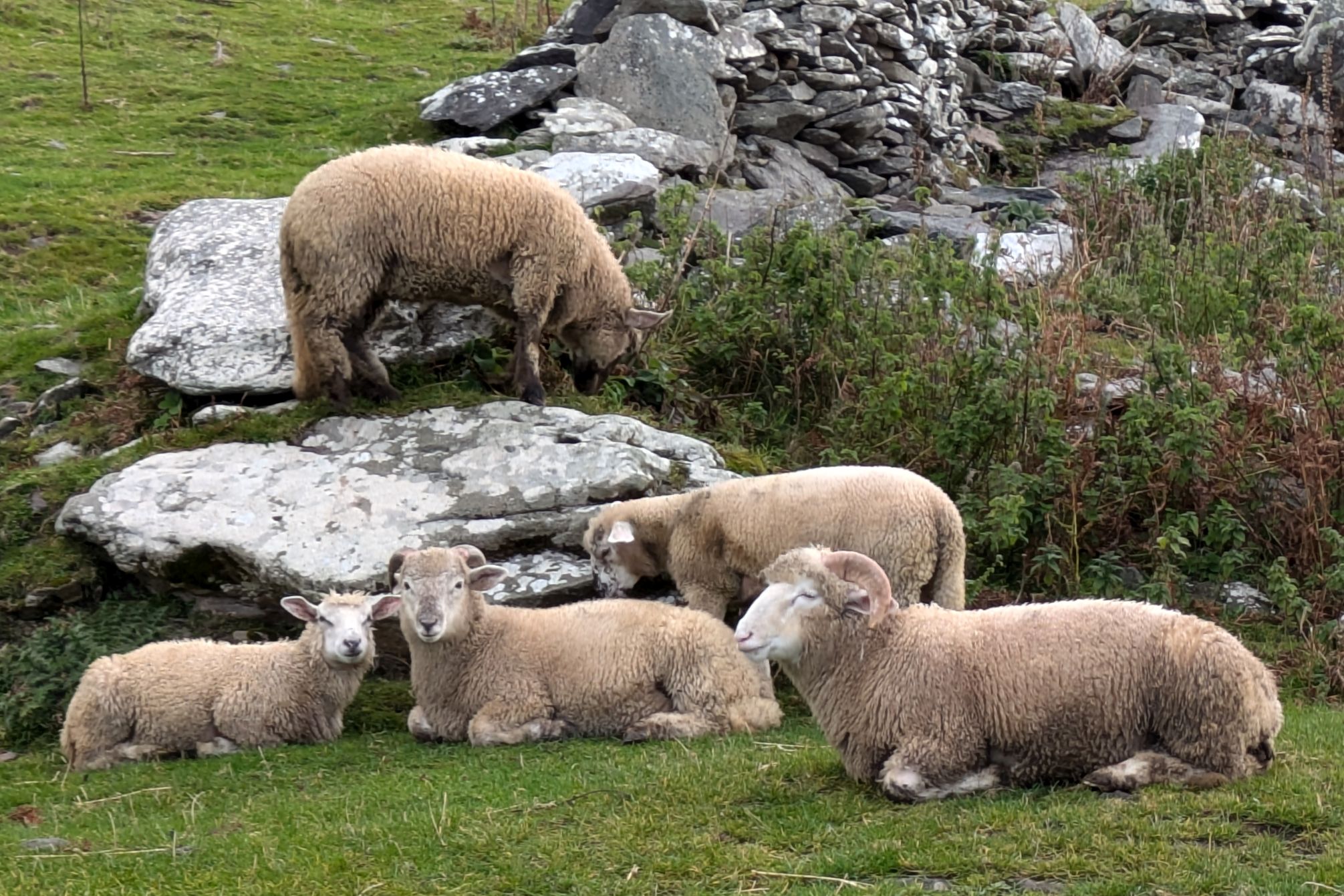

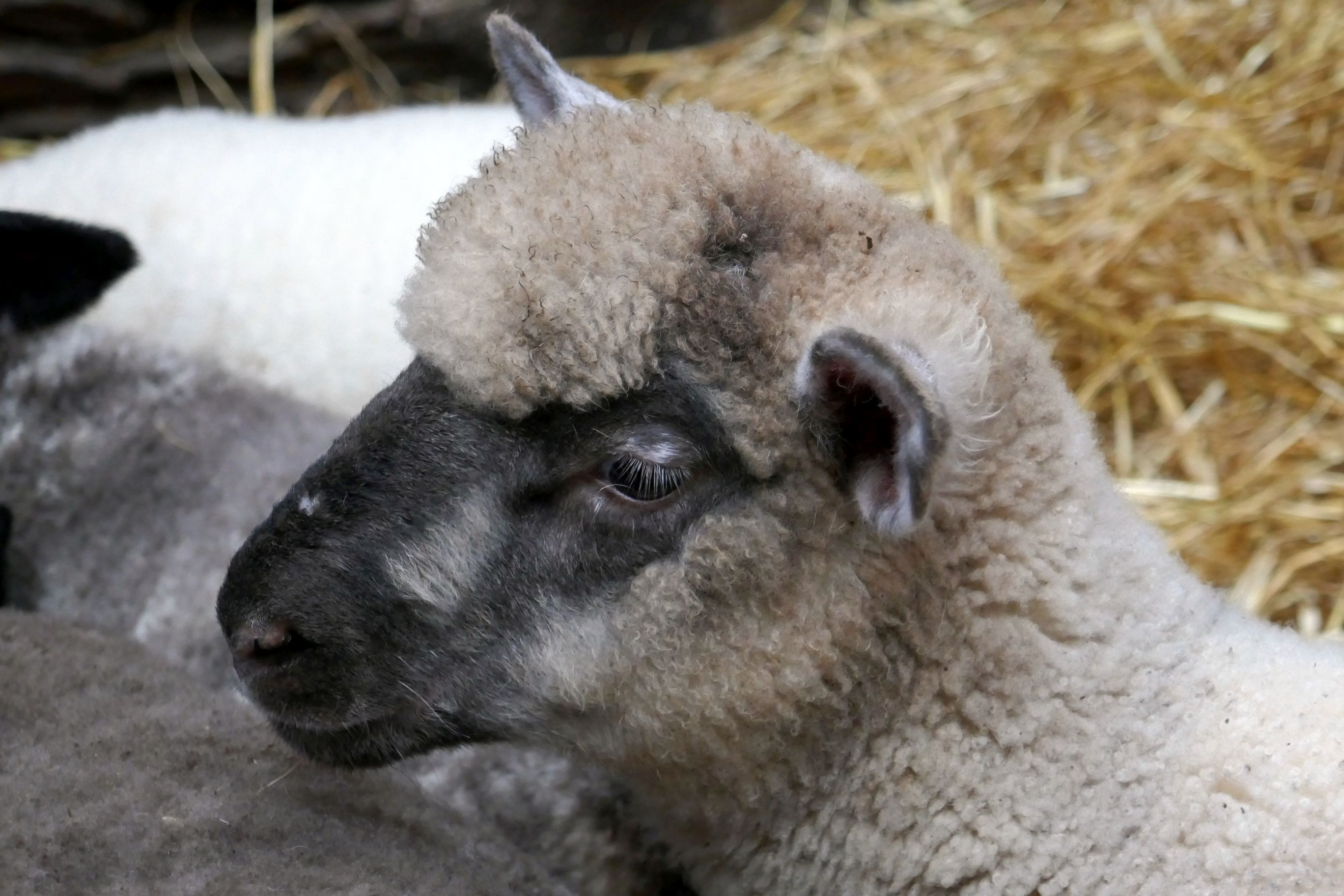
In addition to our guided tour of the huts, we had the opportunity to bottle-feed the adorable baby sheep.
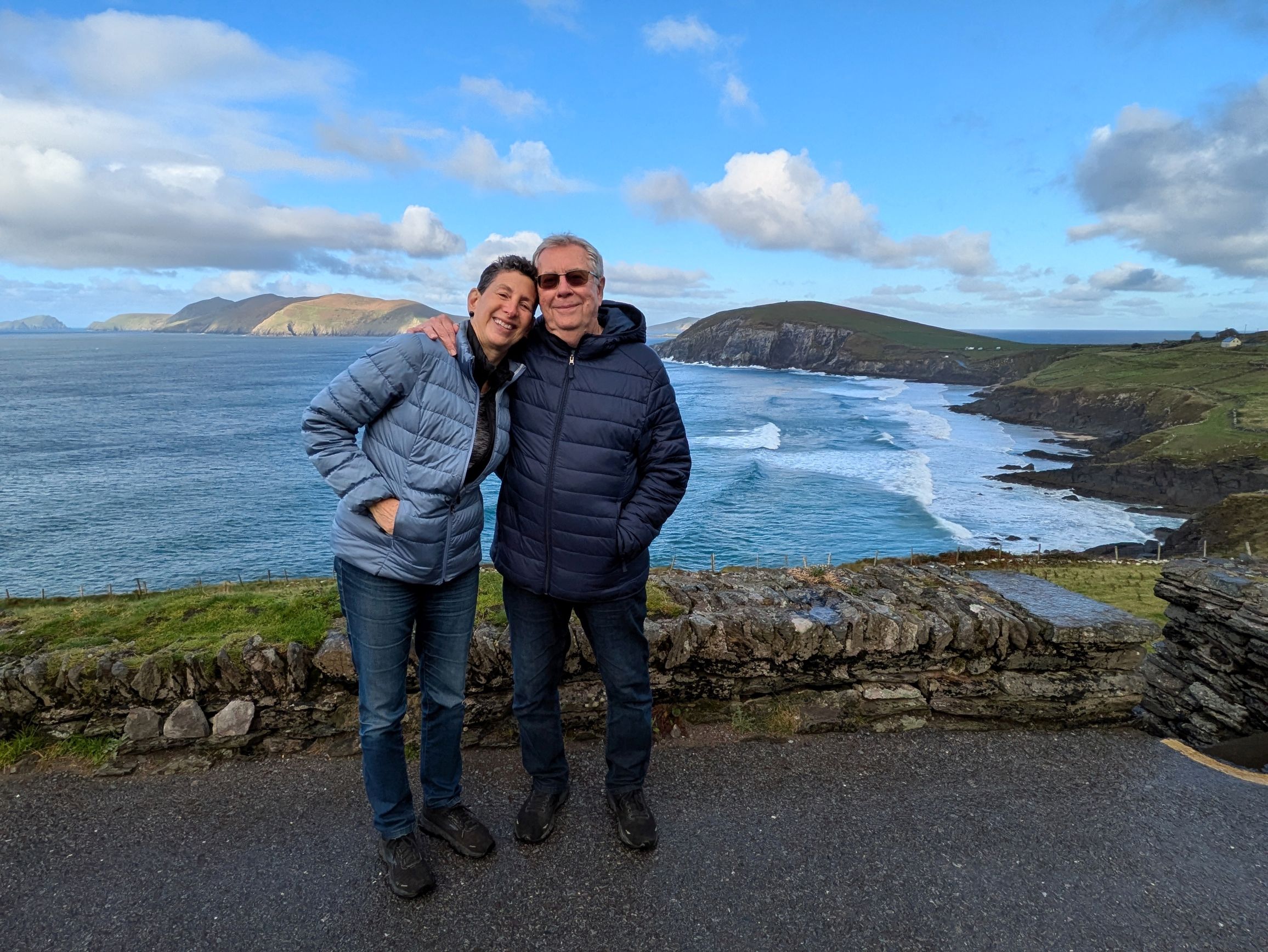
We continued along Slea Head Drive, one of Ireland’s most scenic routes, stopping at Radharc na mBlascaodai to enjoy the breathtaking view of the Blasket Islands.
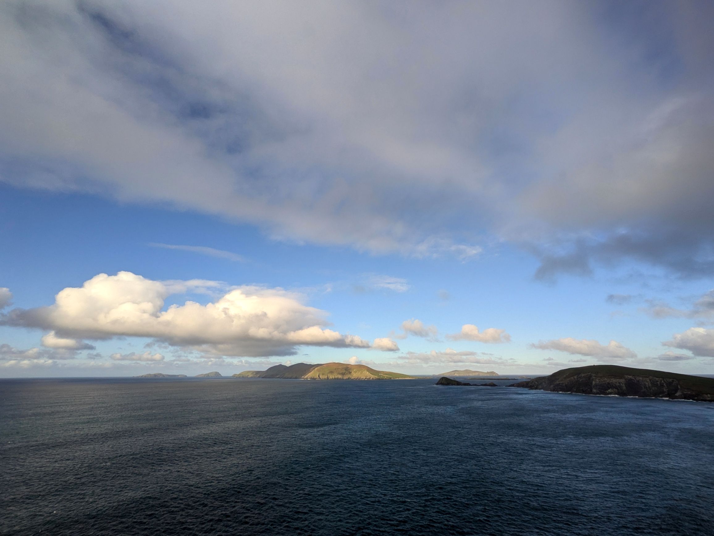
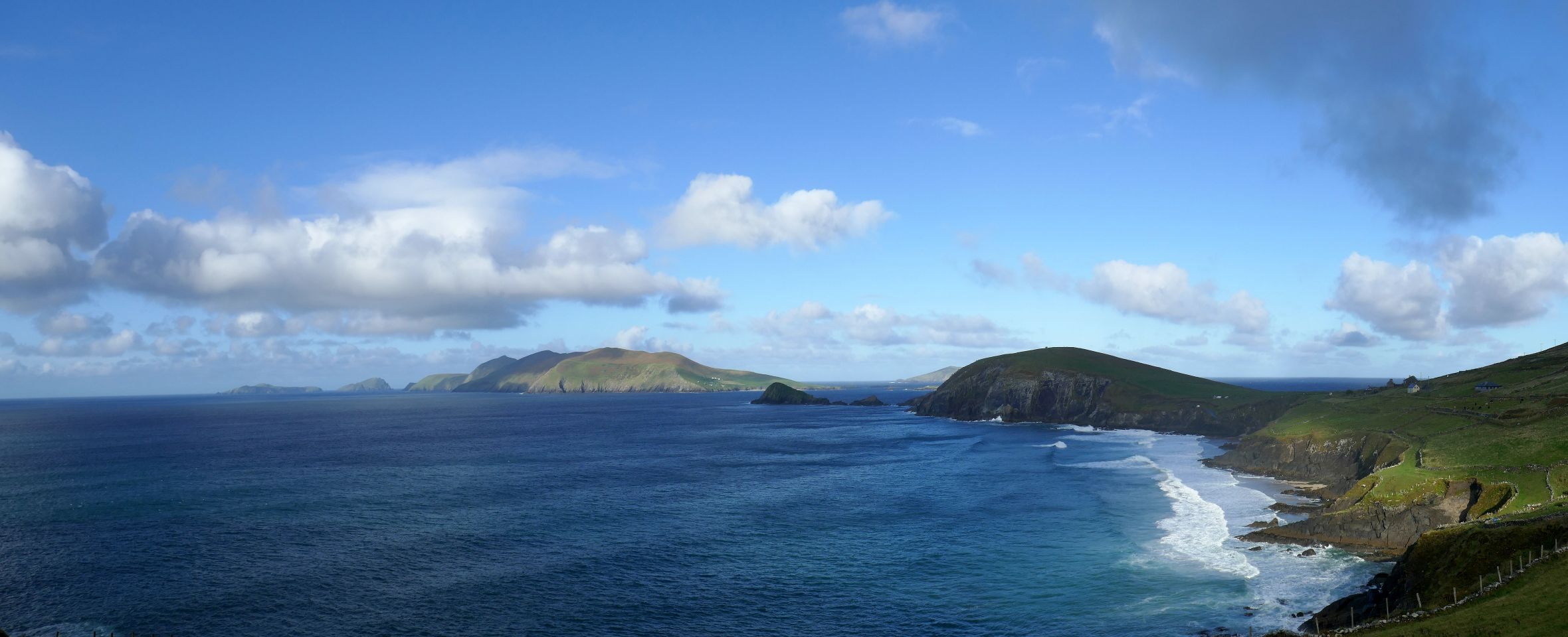
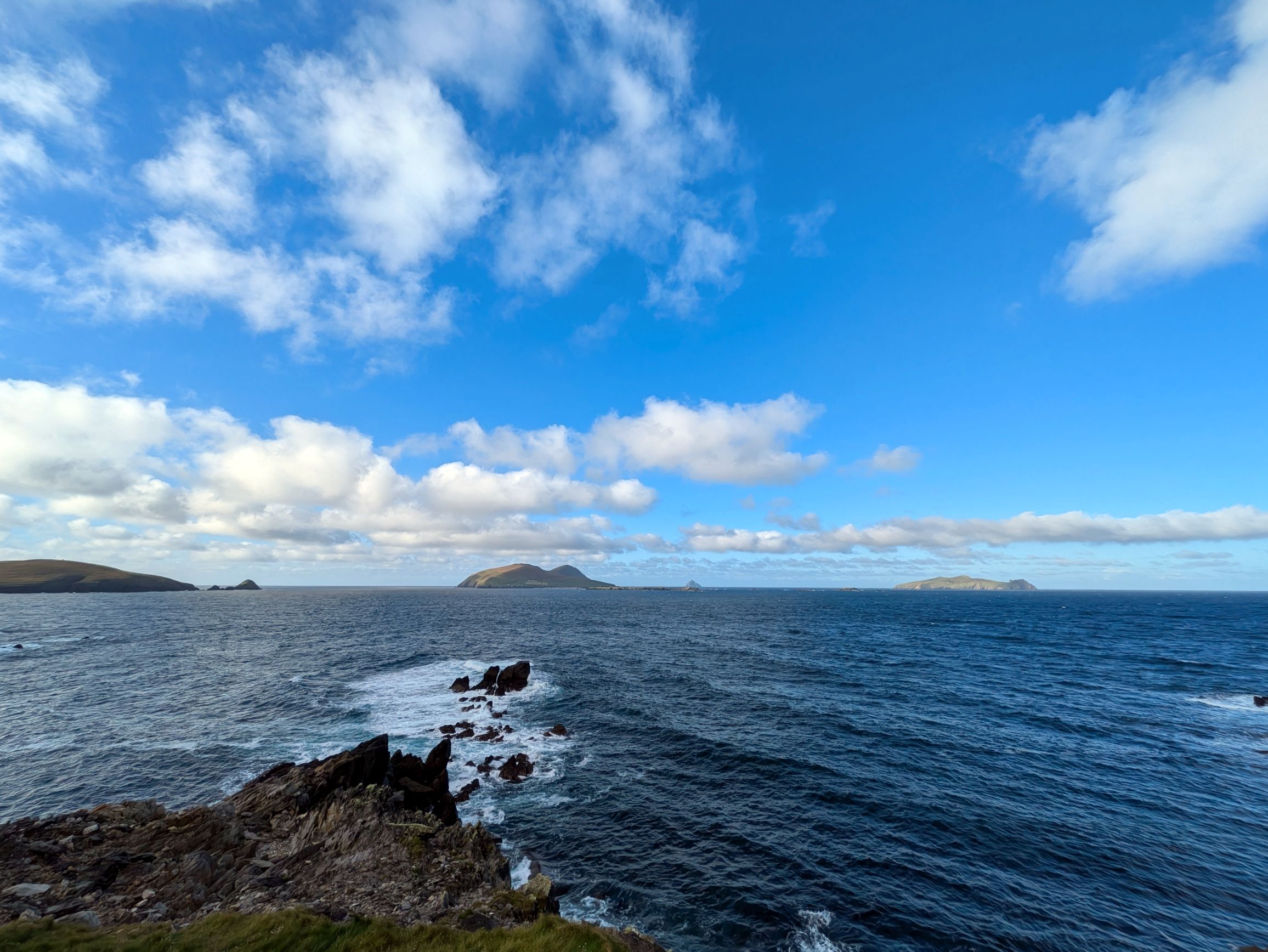
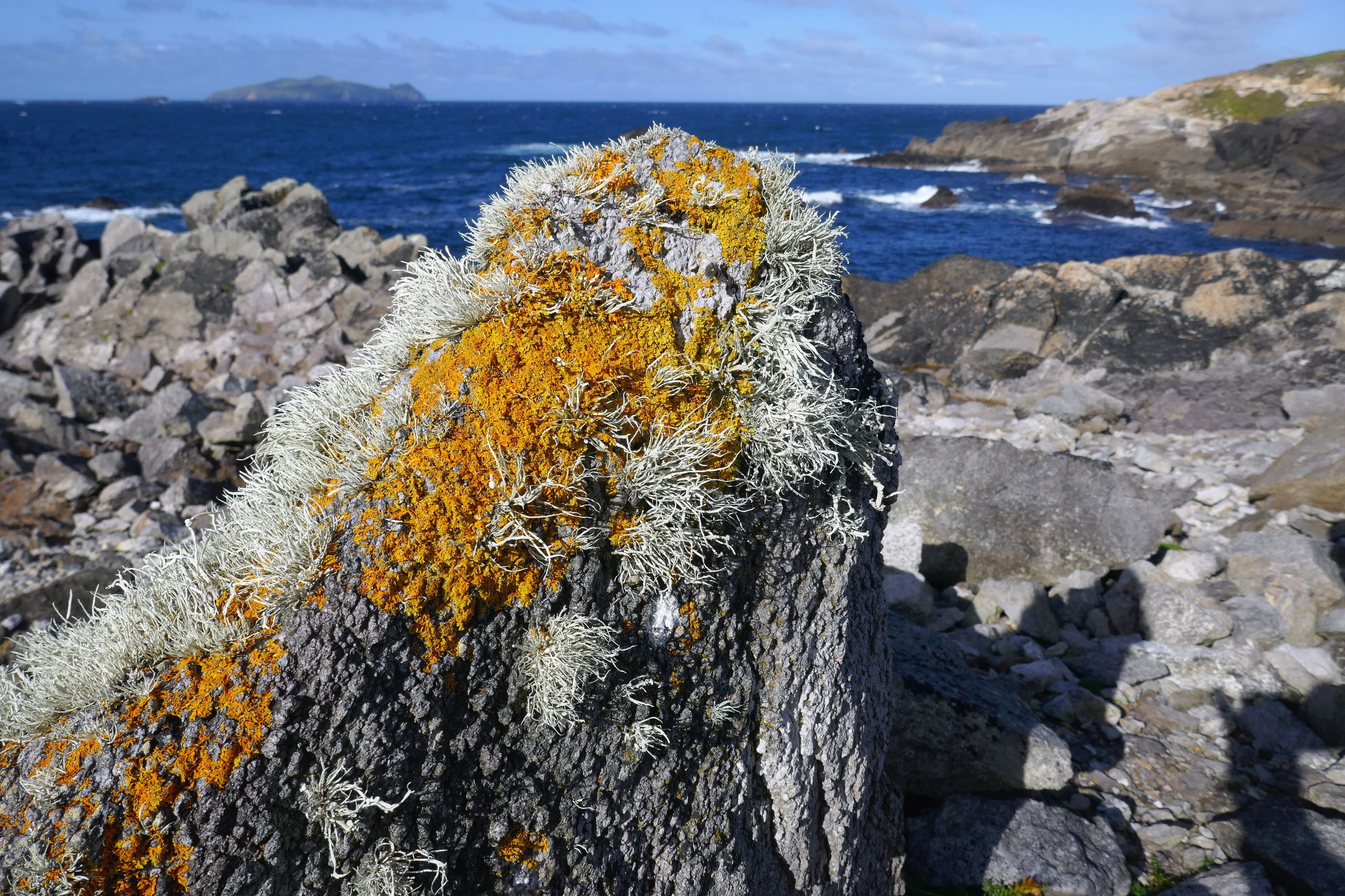
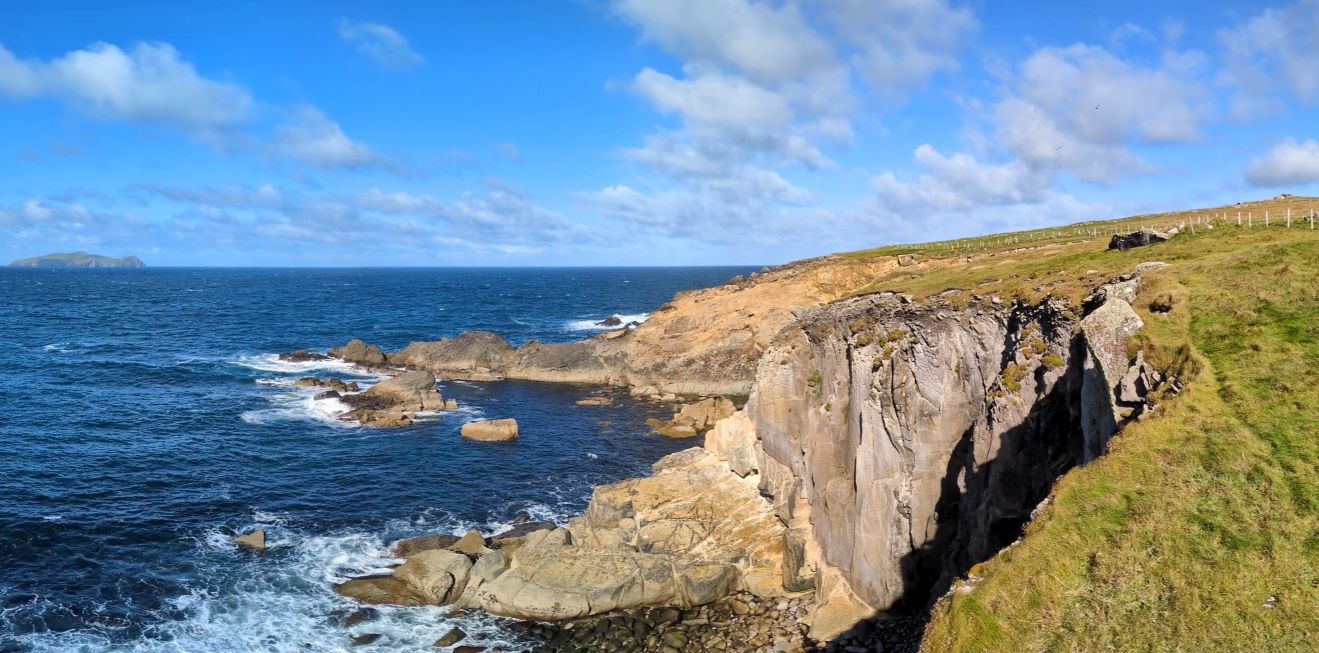
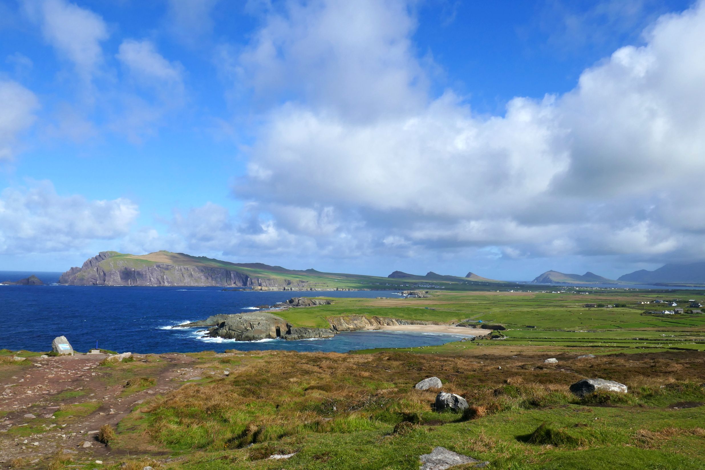
Our next stop, The Blasket Centre, was a wonderful surprise! Not only did the exhibits capture my interest, but the views behind the museum were spectacular! To be quite honest, we didn’t even go into the museum at first. The skies were amazingly photogenic, and we wanted to take in the views of the sea and Blasket Islands first, just in case the weather changed again. We figured that if another storm blew in, we would stay dry inside the museum.
This is why we made a beeline for the cliffs:


We could have stayed out there the entire time, but I am so glad we didn’t, because the museum was fabulous.
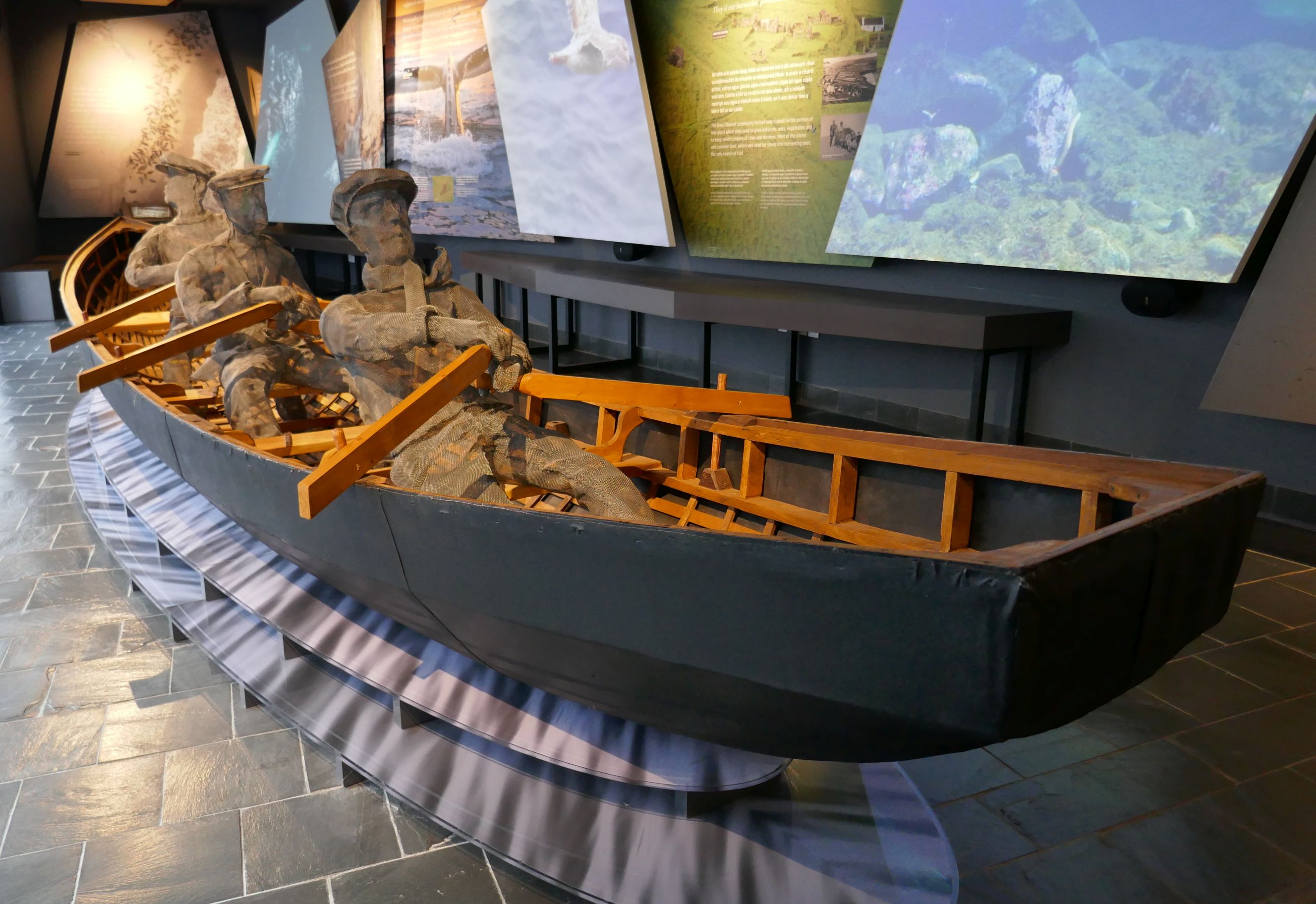
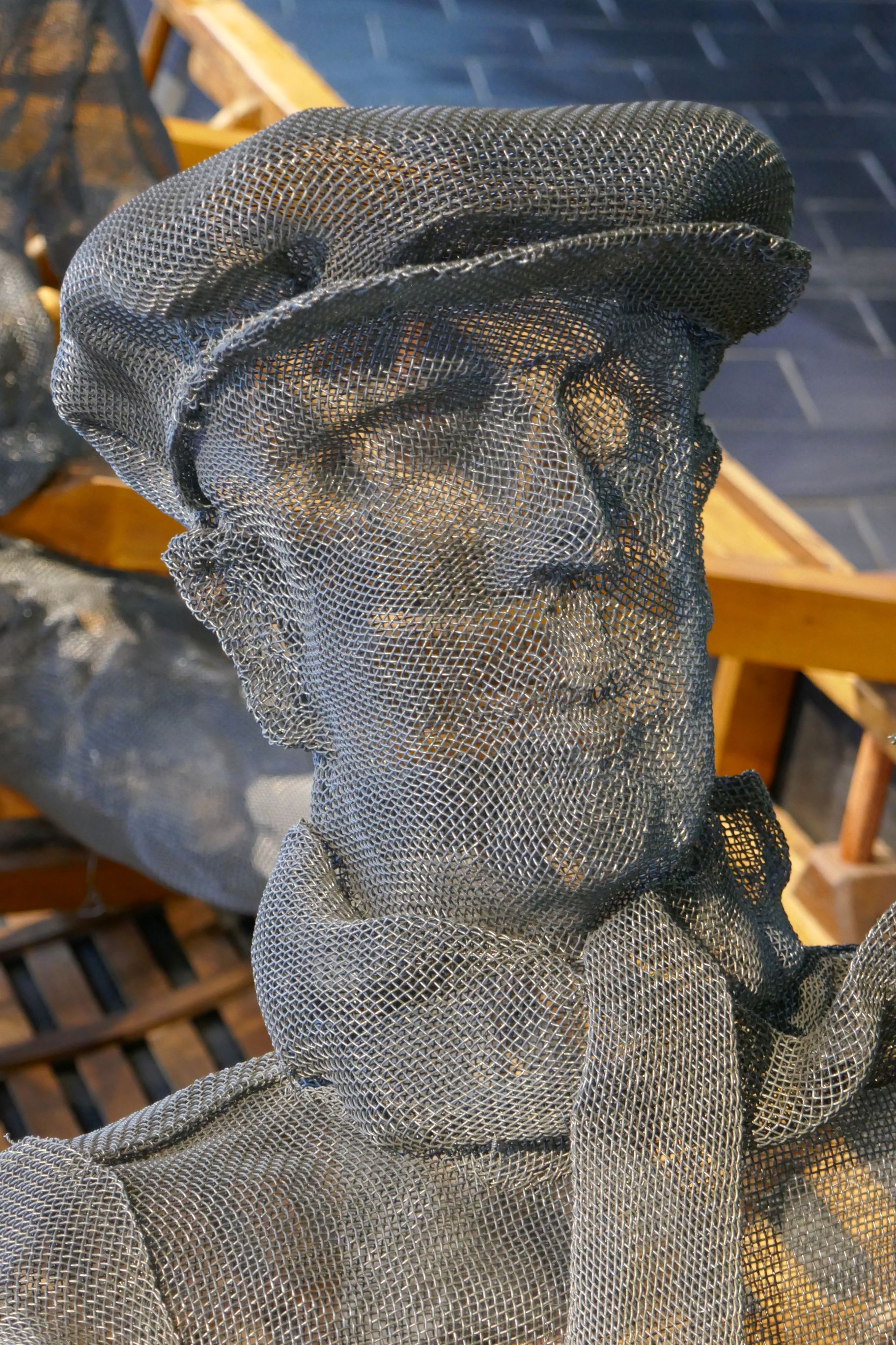
If you go, this is what you will see when you first walk in:


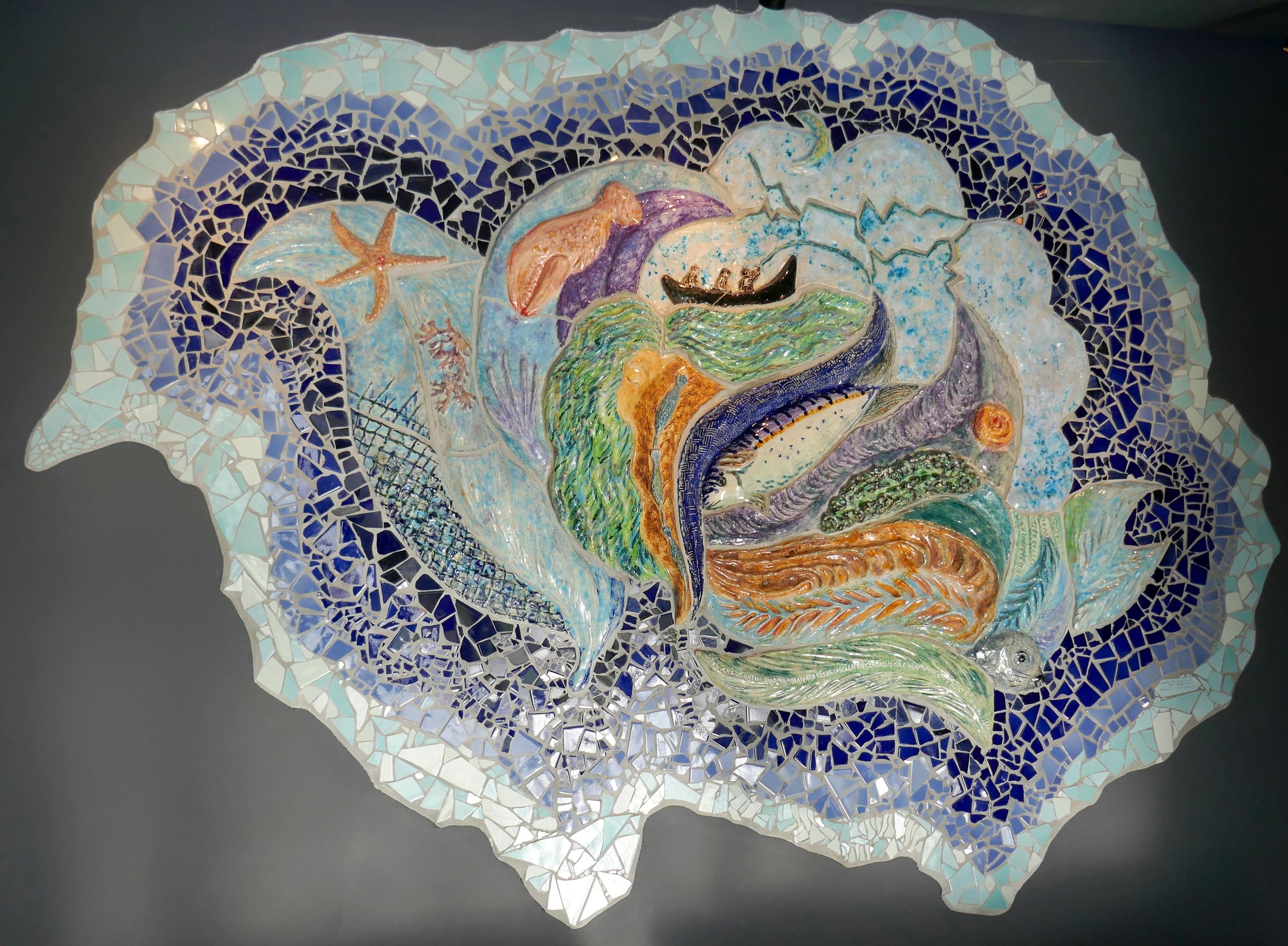
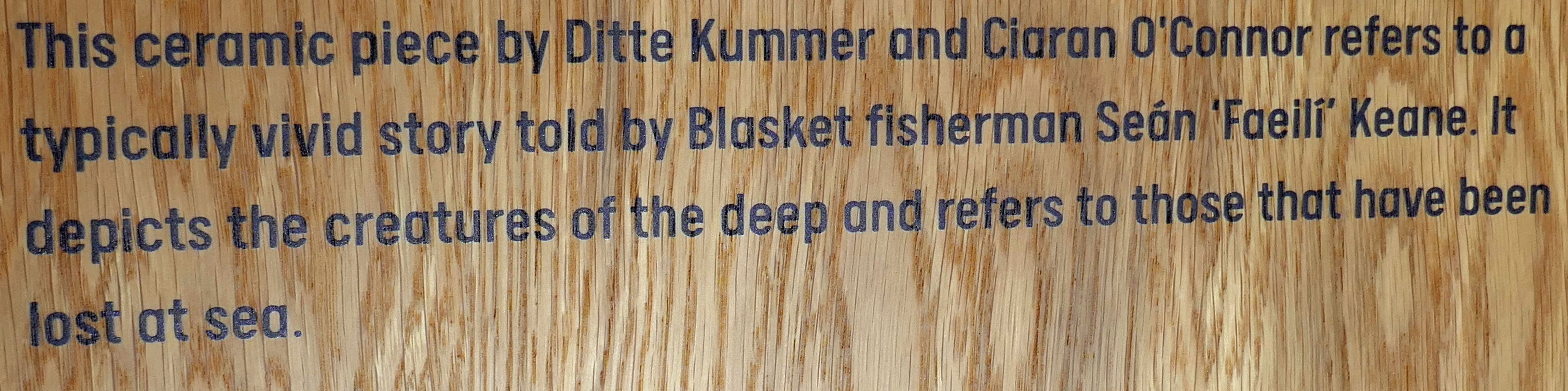
The Blasket Centre details the heritage and culture of the strongest remaining Irish speaking communities, the Gaelic-speaking Blaskets. They inhabited one of the islands until their forced evacuation in 1953. Approximately 180 people lived on Great Blasket at its height in 1920, but emigration, mainly to the USA, was common. Between 1916 and 1926, a fifth of the community had emigrated. The decline in inshore fishing after World War I was one factor, and the exodus of young women from the island was another. America was a big draw for those who wanted to help their families by sending home money, and many settled in Springfield, Massachusetts. When one went, they would send the fare for the next sibling to cross the Atlantic, so the exodus continued for several more years.
Following a series of official studies and reports into the plight of the islanders, the decision was made to evacuate the island in 1953 and rehouse the population on the mainland. There was one family who held out until the following year, but once the O’Sullivans left, it was sadly the end of the Blasket community.
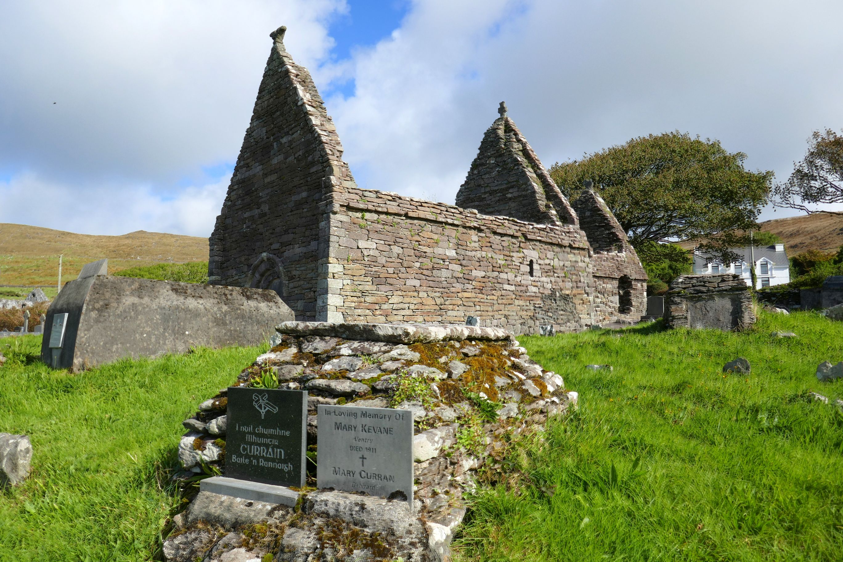
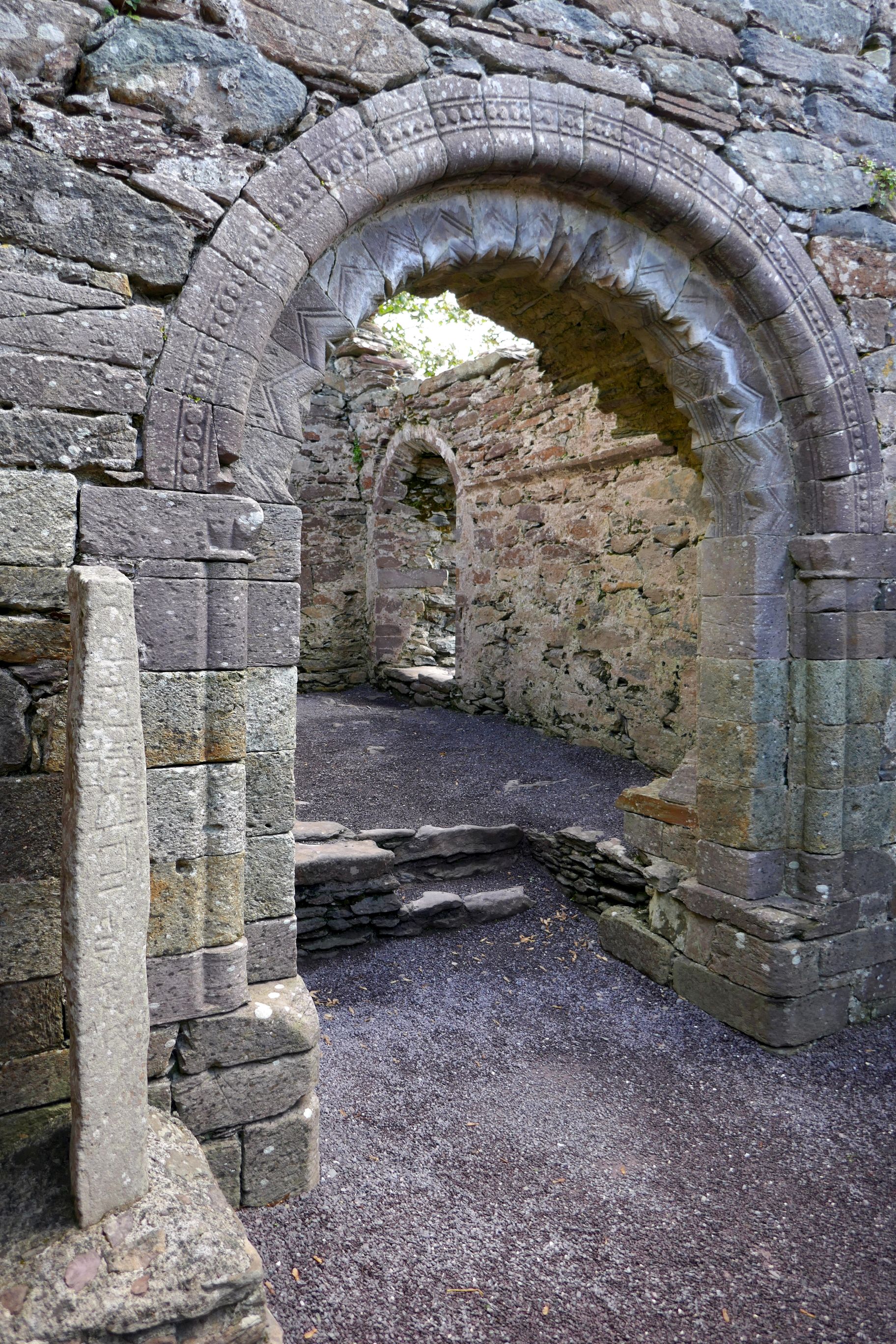
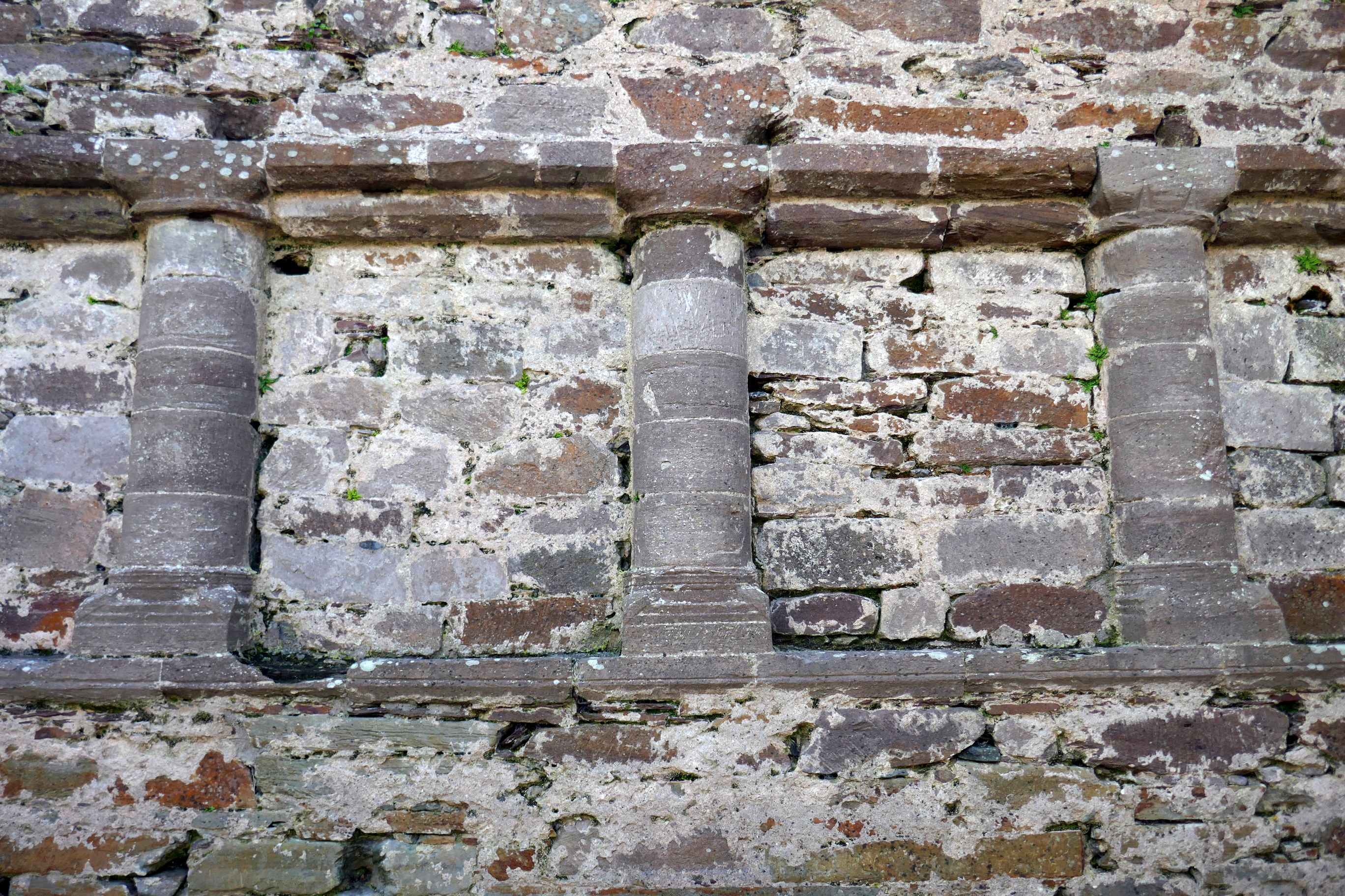
After the impactful Blasket Centre visit, our group continued driving along the Dingle Peninsula, stopping to see the remains of Kilmalkedar Church, built in the 12th century.


Next up: IRISH ADVENTURE #21: INCHING ALONG INCH BEACH, KERRY CREAMERY, & MUCKROSS GARDENS
